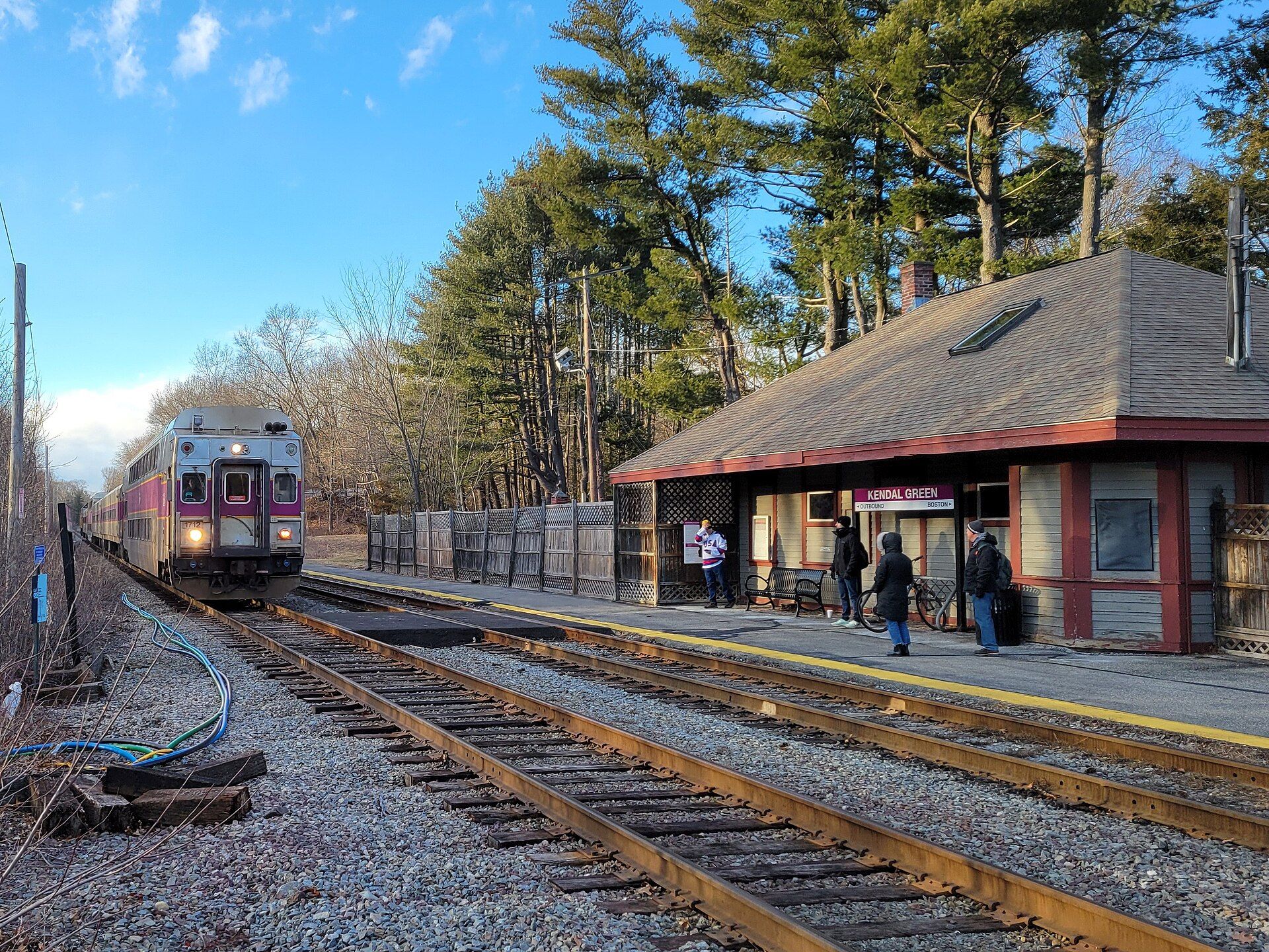
In 1698, "The Farms" was set off as a separate precinct with its own meetinghouse; and in 1712–1713, the "Farmers' Precinct" was incorporated as a separate town, Weston. Landmarks include Kendal Green station, Weston Ski Track and Hastings station. Weston is the birthplace of Joel Kaplan, political advisor and lobbyist.
Every piece is drawn from Weston's own map data and historic archives, then printed and shipped from the USA when you order. No two towns look alike.
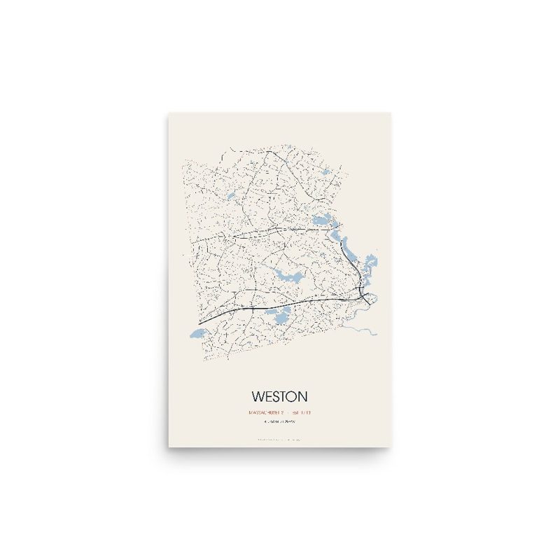
Every road in town, on archival matte paper
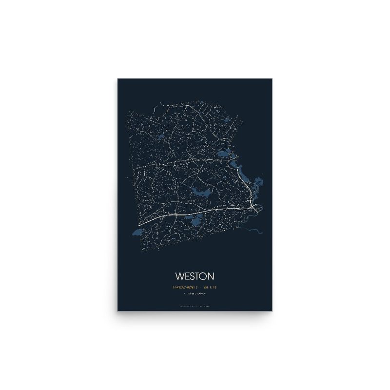
The same map, in navy and silver
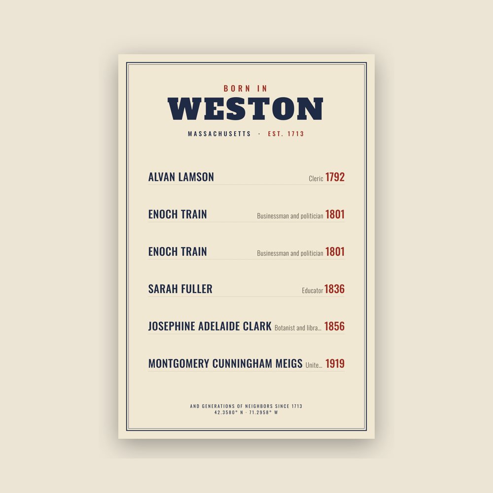
Famous natives, by birth year
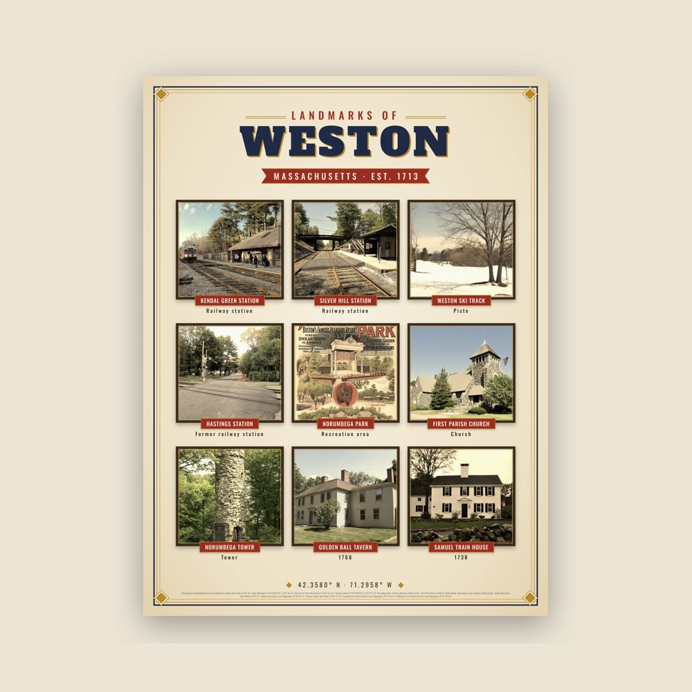
Nine local landmarks, archival matte
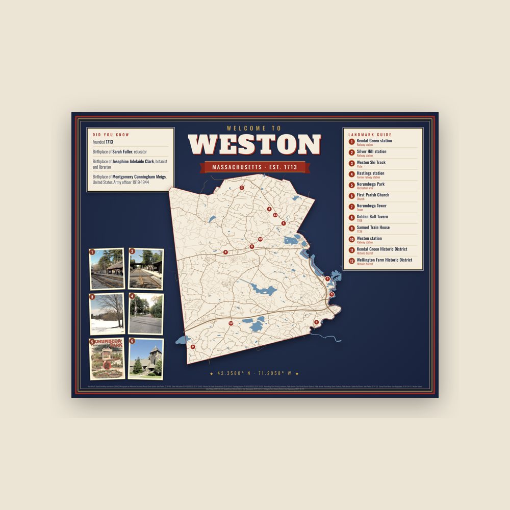
Map of local landmarks, washable fabric
Heavy-blend fleece, street map printed on the back
Soft Bella+Canvas jersey
Glossy ceramic, dishwasher safe
Ceramic keepsake, gold ribbon
Weatherproof, for the front walk
24″×16″, printed coir-look fibers, rubber back
12″×12″ printed wood, ready to hang
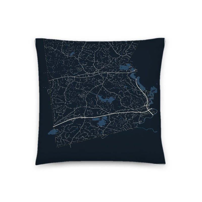
Soft-touch, zip cover
Sturdy all-over-print tote
Glossy top, cork back
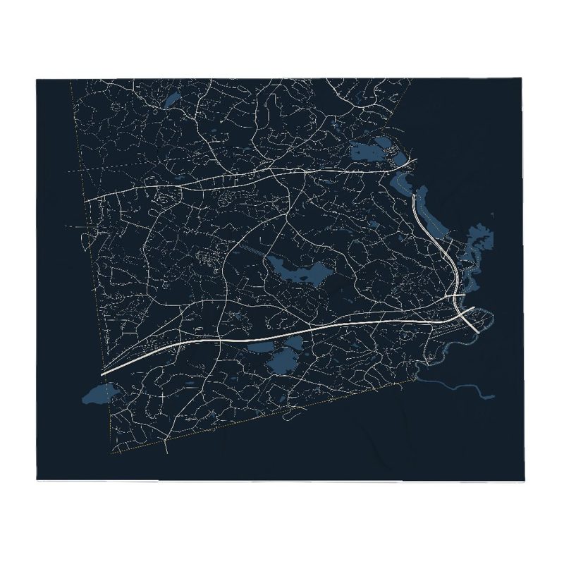
Soft fleece, 50″×60″
20 oz, double-wall stainless
Population 2010: 11,261 → 2020: 11,851
From Wikidata (CC0).
Weston was originally part of the Watertown settlement of 1630, but until the end of the century, the land was used mainly for grazing cattle. In 1698, "The Farms" was set off as a separate precinct with its own meetinghouse; and in 1712–1713, the "Farmers' Precinct" was incorporated as a separate town, Weston.
Early settlers discovered that the amount of useful agricultural land was limited, as was the potential for water-powered industries. Weston did have one advantage: it was situated along the main route west from Boston. By the 18th century, residents were providing services to travelers on the Boston Post Road. Two taverns of great historical and architectural importance remain today: the Josiah Smith Tavern and the Golden Ball Tavern, which is now a museum. North Avenue was an important route to the northwest and, like the Post Road, hosted shops, blacksmiths, and taverns serving travelers.
Grist and sawmills were established beginning in the 17th century on Stony Brook and in the Crescent Street area. Two important manufacturing enterprises were begun during the Colonial period: the Hews redware pottery on Boston Post Road and Hobbs Tannery on North Avenue. By 1776, Weston's population of 1,027 was spread throughout the town on scattered farms along major roads, with some consolidation within the village center around the meetinghouse, along the length of the Post Road, and on North Avenue.
The opening of the Worcester Turnpike in 1810 (now Route 9) drew some commercial traffic from the Boston Post Road, but dry goods merchants continued to supply neighboring towns until about 1830–1840. The Boston and Worcester Railroad was built through the southeast corner of town in 1834, and the Fitchburg Railroad (later the Boston and Maine) was built along Stony Brook on the north side of town around 1844. Population continued to grow, supported in part by small industries such as the pottery, tannery and related boot and shoe making, school desk and chair factory, tool factories, and shops making machinery for cotton and woolen mills. The Hook & Hastings Company organ factory, Weston's largest industry, moved to the North Avenue area in 1888 and was a major town employer until it closed during the Great Depression. The Mass Central Railroad, the third to serve Weston, commenced service in 1881. Its tracks ran east–west through the center of town.
The rural landscape of Weston and convenience to rail transportation also made it attractive as a summer resort area. The shingle-style Drabbington Lodge, once a popular summer resort, remains on North Avenue and is now a senior living community.
Development of country estates in Weston began on a small scale in the 1860s and was widespread by 1900. Wealthy businessmen were attracted to Weston by its convenience to Boston, quiet country atmosphere, and low taxes, as well as the beauty of the area and that same rocky topography that in earlier years had proved unsuitable for farming. By the turn of the century, Weston was described as a "country town of residences of the first class."
Population growth and the influence of large estate owners led to the construction of new institutional buildings, such as the fieldstone First Parish Church (1888), designed by the nationally known Boston firm of Peabody and Stearns and located on the site of earlier church meetinghouses. The first library (1899), central fire station (1914), and present town hall (1917) were also built during the estate era. Coinciding with the town's Bicentennial in 1913, an ambitious Town Improvement Plan began the process of creating the Town Green by draining and landscaping an existing wetland.
Suburban development began in the early 20th century and increased with the advent of the automobile. Two prominent estates, the Winsor estate on Meadowbrook Road and Hubbard estate on the south side, were subdivided after World War I. In the 1910s and 1920s, estates were purchased for educational use (Regis College and Weston College/Campion Center) and as golf courses (Weston Golf Club and Pine Brook Country Club). Many other large properties remained as open farm fields or woodlands through the Great Depression and World War II.
The Weston Aqueduct and Reservoir (1901–1903) and Hultman Aqueduct and Norumbega Reservoir (1938–1940) were major public works projects constructed as part of the water supply system of greater Boston.
After World War II, construction of Routes 128 and the Massachusetts Turnpike, along with pent up demand for housing, led to subdivision of former estate properties and farms throughout the town. The postwar period was characterized by exponential growth and proactive efforts to control and guide this growth in order to preserve the rural character of the town. In the early 1950s, Weston's selectmen initiated two important growth-control measures: a zoning bylaw increasing the amount of land needed to build and a land-acquisition policy reducing the amount of developable land by purchasing it for the town. More than half of the town's housing stock was built in the thirty years between 1950 and 1979 and consisted largely of single family houses on increasingly expensive land. Population growth brought increased demand for town services including schools, and five new schools were constructed between 1950 and 1969. In recent years, the major trend is for many of these postwar houses to be replaced by much larger houses.
Adapted (trimmed) from the Wikipedia article Weston, Massachusetts, revision 1375490879 by its contributors, licensed CC BY-SA 4.0.
We share a part of every Weston sale with local partners, and we'd love to print from your collection. Old photographs, maps and postcards make the best keepsakes.
Partner with us