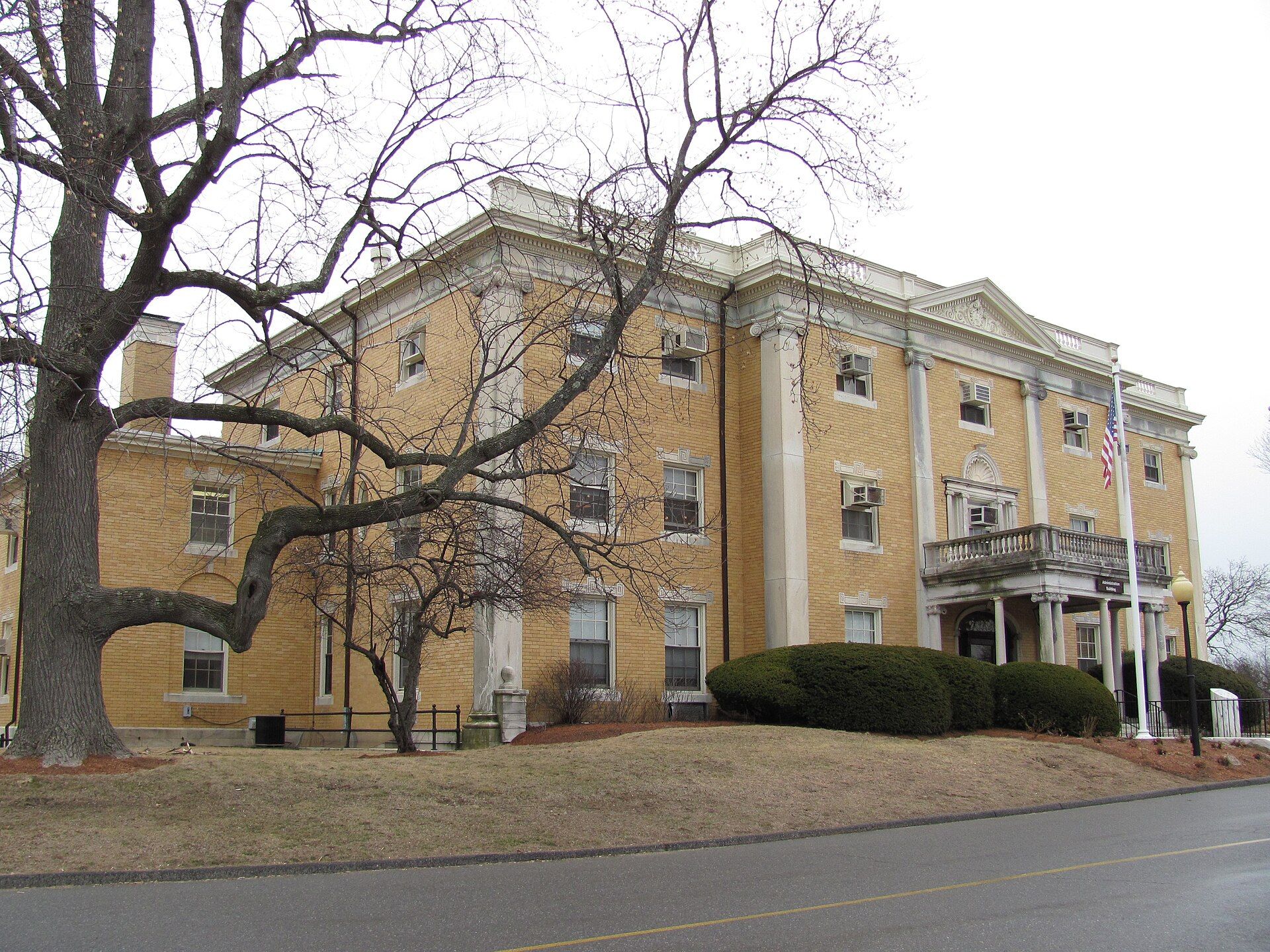
Belmont was established on March 18, 1859, by former citizens of, and on land from the bordering towns of, Watertown, to the south; Waltham, to the west; and Arlington, then known as West Cambridge, to the north. Landmarks include Boston Massachusetts Temple, McLean Hospital and Belmont Center station. Belmont is the birthplace of Maxie Long, sprinter.
Every piece is drawn from Belmont's own map data and historic archives, then printed and shipped from the USA when you order. No two towns look alike.
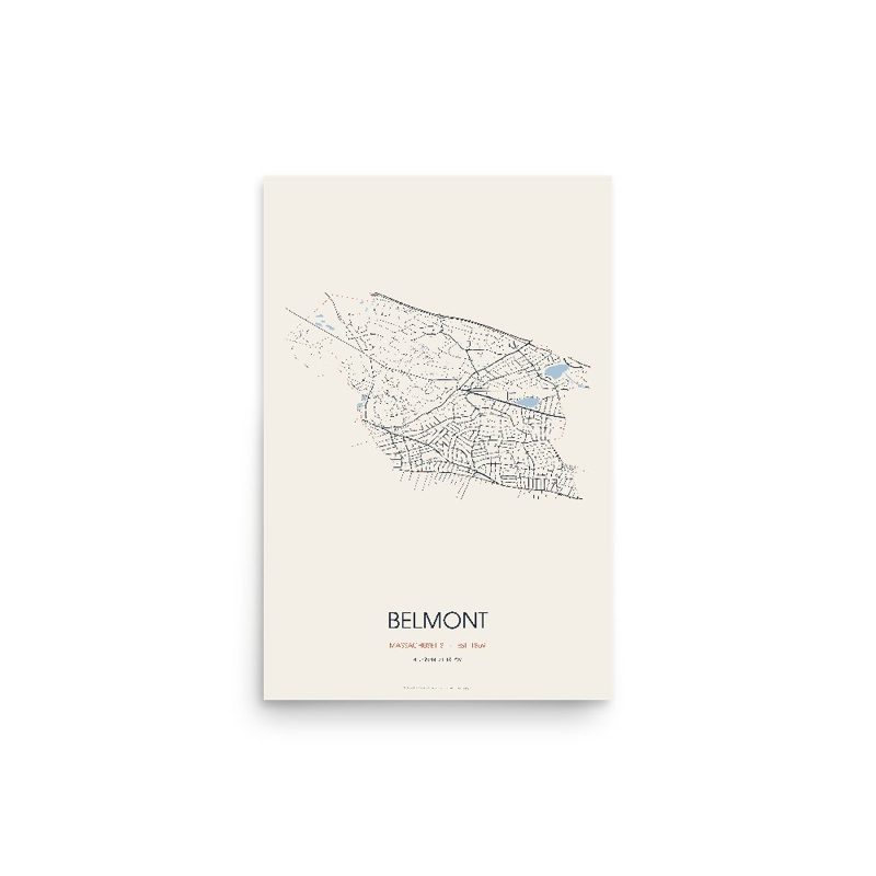
Every road in town, on archival matte paper
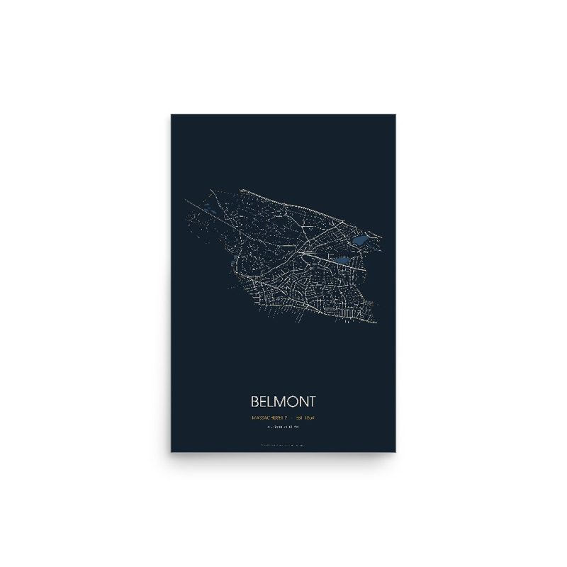
The same map, in navy and silver
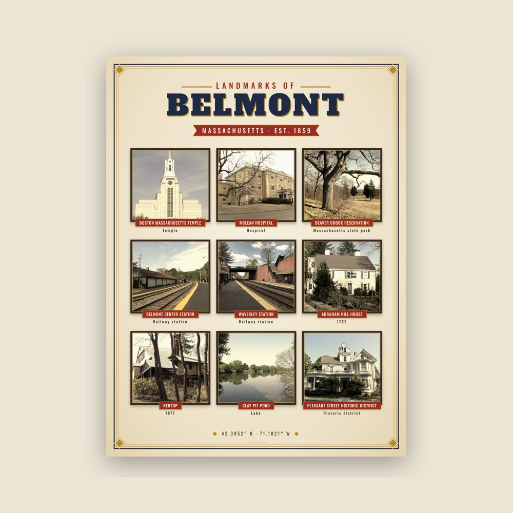
Nine local landmarks, archival matte
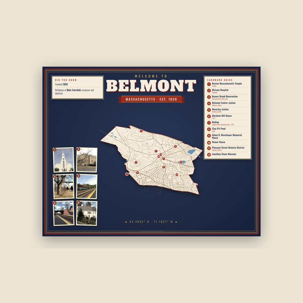
Map of local landmarks, washable fabric
Heavy-blend fleece, street map printed on the back
Soft Bella+Canvas jersey
Glossy ceramic, dishwasher safe
Ceramic keepsake, gold ribbon
Weatherproof, for the front walk
24″×16″, printed coir-look fibers, rubber back
12″×12″ printed wood, ready to hang
Soft-touch, zip cover
Sturdy all-over-print tote
Glossy top, cork back
Soft fleece, 50″×60″
20 oz, double-wall stainless
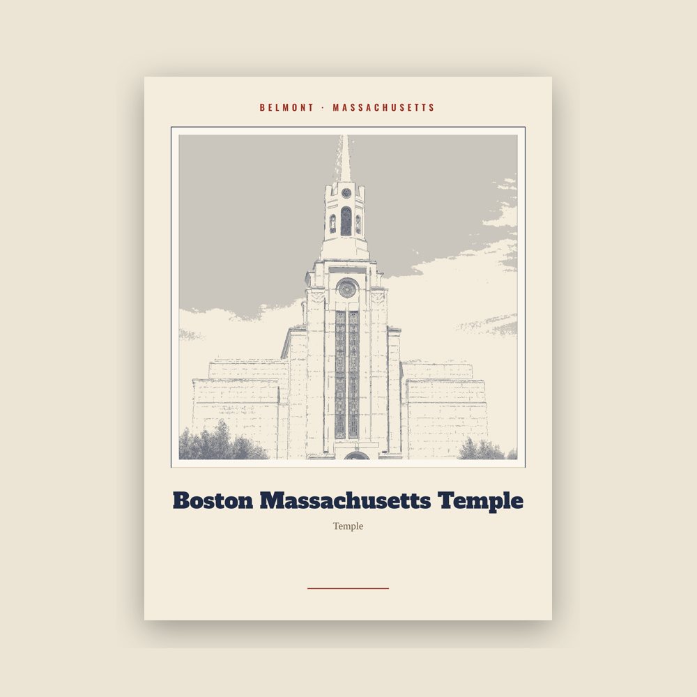
Archival matte print of a local landmark, credited to its photographer
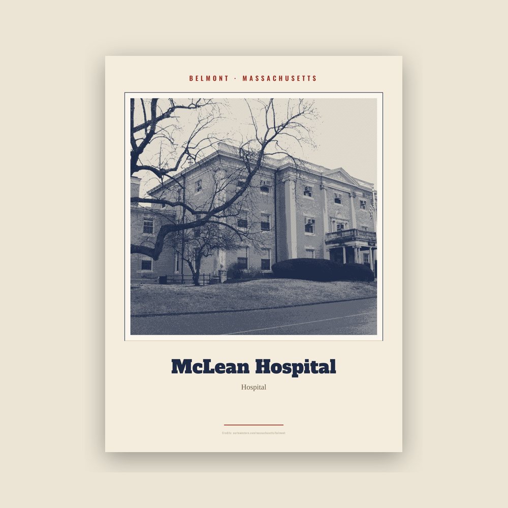
Archival matte print of a local landmark, credited to its photographer
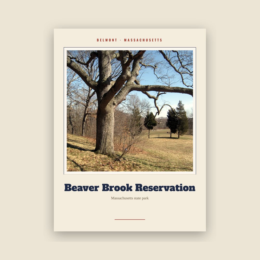
Archival matte print of a local landmark, credited to its photographer
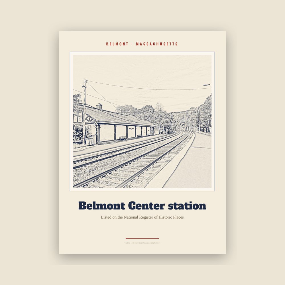
Archival matte print of a local landmark, credited to its photographer
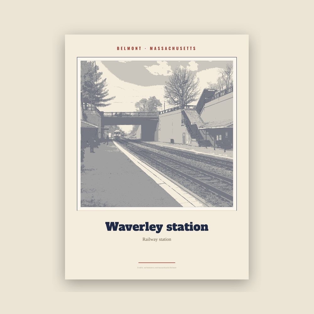
Archival matte print of a local landmark, credited to its photographer
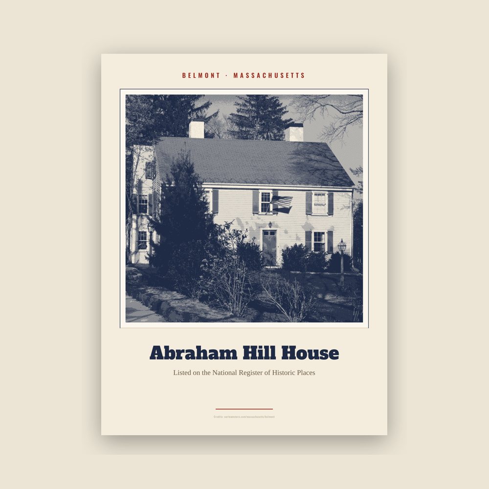
Archival matte print of a local landmark, credited to its photographer
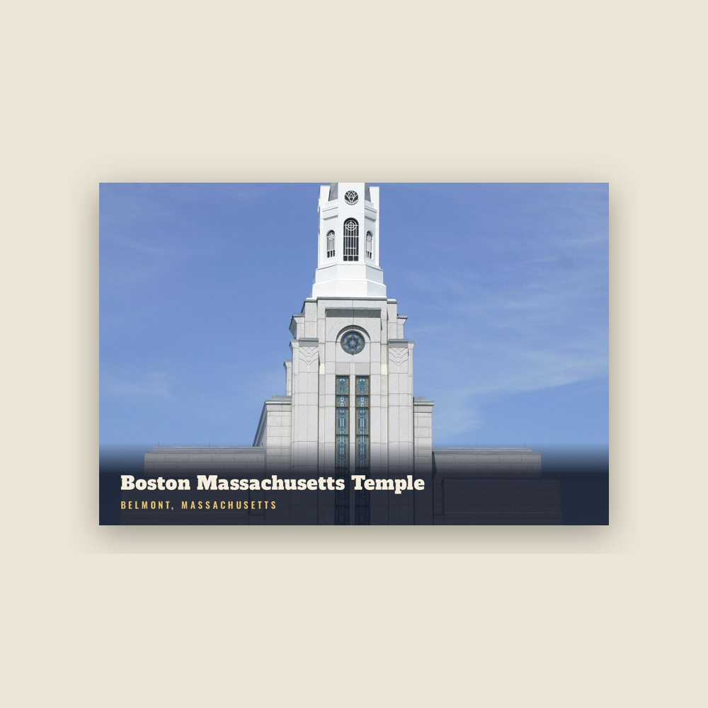
6″×4″ postcard, glossy front
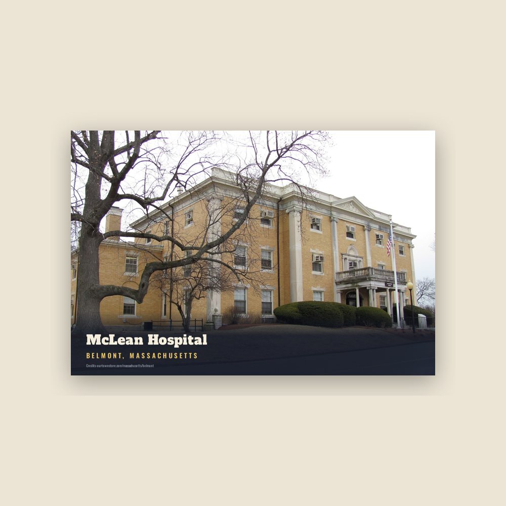
6″×4″ postcard, glossy front
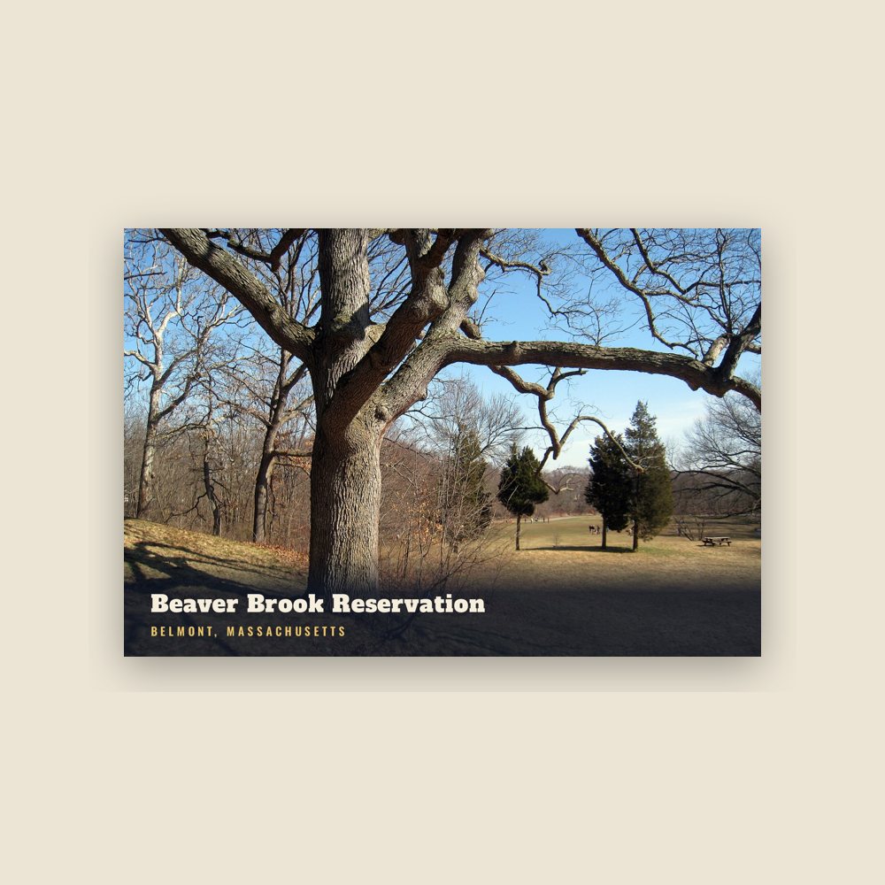
6″×4″ postcard, glossy front
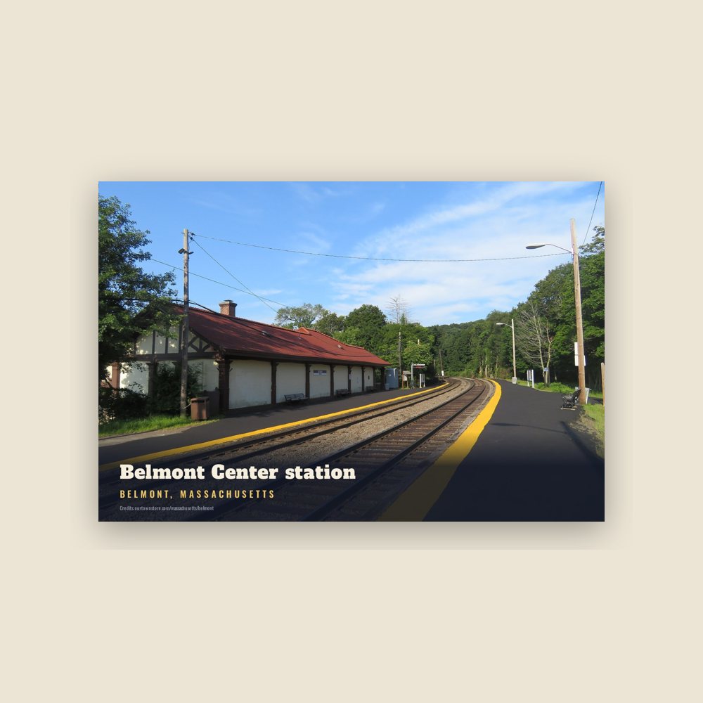
6″×4″ postcard, glossy front
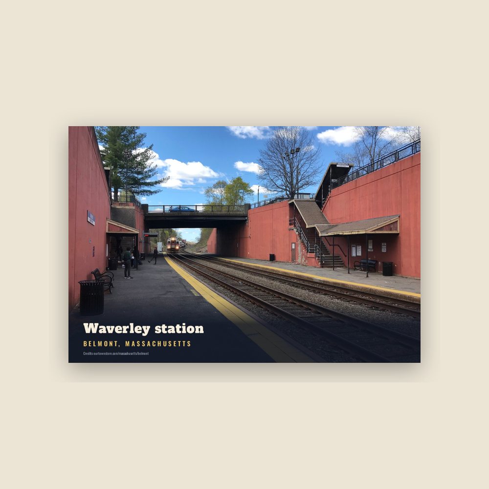
6″×4″ postcard, glossy front
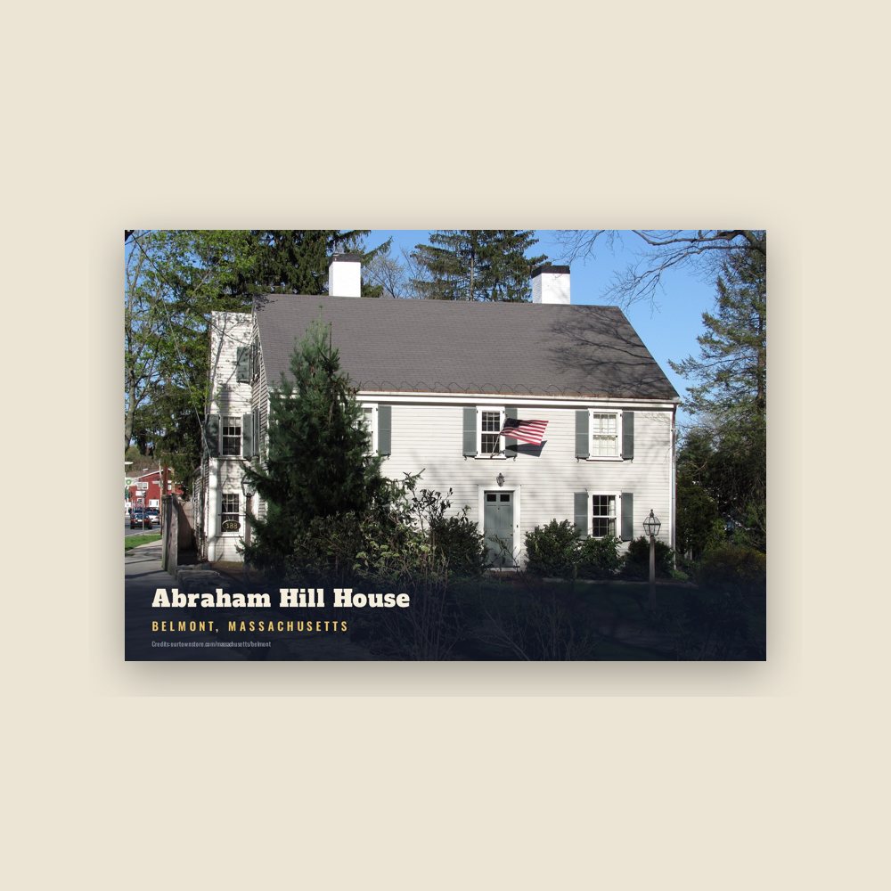
6″×4″ postcard, glossy front
Population 1860: 1,198 → 2010: 24,729 → 2020: 27,295
From Wikidata (CC0).
Belmont was established on March 18, 1859, by former citizens of, and on land from the bordering towns of, Watertown, to the south; Waltham, to the west; and Arlington, then known as West Cambridge, to the north. The founders desired a dry township (alcohol is now legal to purchase in Belmont). The town was named after Bellmont, the 200-acre (0.8 km2) estate of the largest donor to its creation, John Perkins Cushing, after which Cushing Square is named. After Cushing's estate nearly burned to the ground, it was converted to a Belmont Public Library branch. The easternmost section of the town, including the western portion of Fresh Pond, was annexed by Cambridge in 1880. The annexation was the result of a dispute over a slaughterhouse licensed in 1878 and situated next to Fresh Pond; Cambridge wished to protect Fresh Pond (part of its water supply network) by removing neighboring buildings.
Before its incorporation, Belmont was an agrarian town, with several large farms servicing Boston for produce and livestock. It remained largely agrarian until the turn of the 20th century, when trolley service was introduced and roads were improved, making it more attractive as a residential area, most notably for the building of large estates. Belmont's population grew by over 70 percent during the 1920s.
Other commercial enterprises in Belmont included clay mining and waste management. The reclamation of a large dump and quarry off Concord Avenue into sites for the Belmont High School and the Clay Pit Pond is a lasting example of environmental planning. With the introduction of automobiles and highways, Belmont continued its transition to a commuter-based suburb throughout the 20th century.
The John Birch Society was headquartered in Belmont from its founding in 1958 until its relocation to Appleton, Wisconsin, in 1989. The building at 395 Concord Avenue later became the headquarters of the National Association for Armenian Studies and Research (NAASR), which is expanding and renovating its facility as of 2019.
Belmont was once served by two railroads, the Fitchburg Railroad and the Central Massachusetts Railroad, both of which later became part of the Boston & Maine Railroad system. Originally the two railroads each had their own separate trackage through town, but in 1952 the Central Mass tracks were removed between Hill's Crossing and Clematis Brook (Waltham), and rail traffic was rerouted over the Fitchburg line.
Presently, the MBTA operates the Fitchburg Line through Belmont as part of its MBTA commuter rail service. Passenger service on the line terminates at Wachusett station in Fitchburg.
The station stops at Belmont Center and Waverley were once level crossings, and pedestrian and vehicle traffic had to cross directly over rails on public roads. In 1907, a stone arch bridge, elevated embankment, and station building were constructed such that the track runs over the road. At Waverley, the grade was lowered so that the tracks ran under Trapelo Road, though the platform did not have an enclosed structure there.
A second historic railroad station building exists in Belmont, though it is not obvious. The one-room Wellington Hill Station was built in the 1840s as a private school, not far from its current location in Belmont Center. It was then used by the Fitchburg Railroad from 1852 to 1879. When the railroad decided to replace the station with a larger structure, the building was moved to the Underwood Estate and used as a summer house. In 1974, the station was donated to the Belmont Historical Society. It was restored and moved to its current location in 1980.
As of 2024, plans are underway to construct the Belmont Community Path, a rail trail across Belmont, using the abandoned Central Massachusetts Railroad right-of-way along the existing Fitchburg Line tracks. When completed this trail will be part of the Mass Central Rail Trail.
Belmont remains a primarily residential suburb, with little population growth since the 1950s. It is best known for the mansion-filled Belmont Hill neighborhood, although most residents live in more densely settled, low-lying areas around the Hill. There are three major commercial centers in the town: Belmont Center in the center, Cushing Square in the south, and Waverley Square in the west. Town Hall and other civic buildings are in Belmont Center. Large tracts of land from former farms and greenhouse estates form public or publicly accessible areas such as Rock Meadow, Habitat, portions of the McLean Hospital tract and various town fields.
Adapted (trimmed) from the Wikipedia article Belmont, Massachusetts, revision 1374137642 by its contributors, licensed CC BY-SA 4.0.
We share a part of every Belmont sale with local partners, and we'd love to print from your collection. Old photographs, maps and postcards make the best keepsakes.
Partner with us