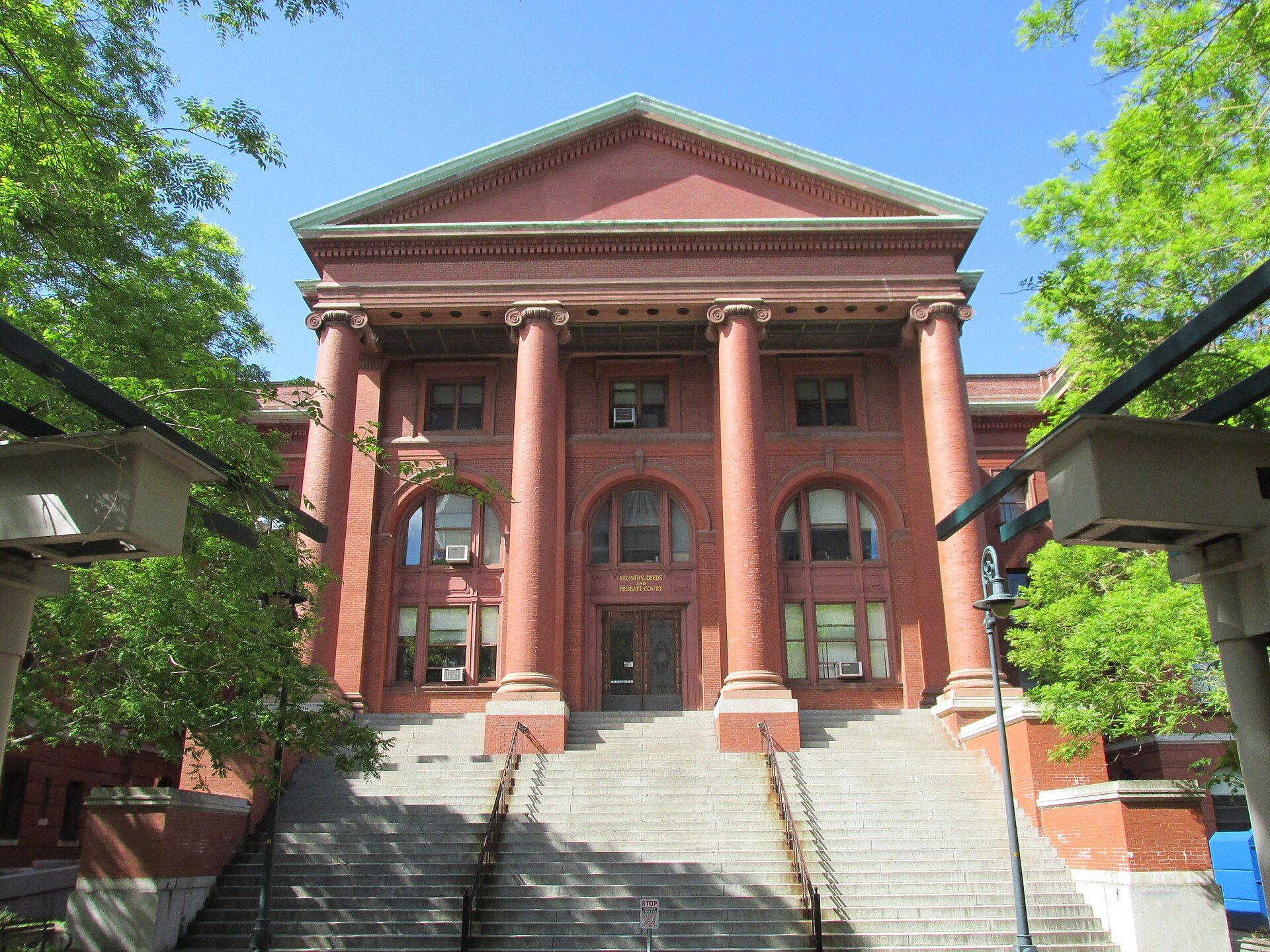
Lexington is a suburban town in Middlesex County, Massachusetts, United States, located 10 miles from Downtown Boston. Landmarks include Middlesex County, Battles of Lexington and Concord and Boston Dynamics. Lexington is the birthplace of Drew Weissman, physician-scientist.
Every piece is drawn from Lexington's own map data and historic archives, then printed and shipped from the USA when you order. No two towns look alike.
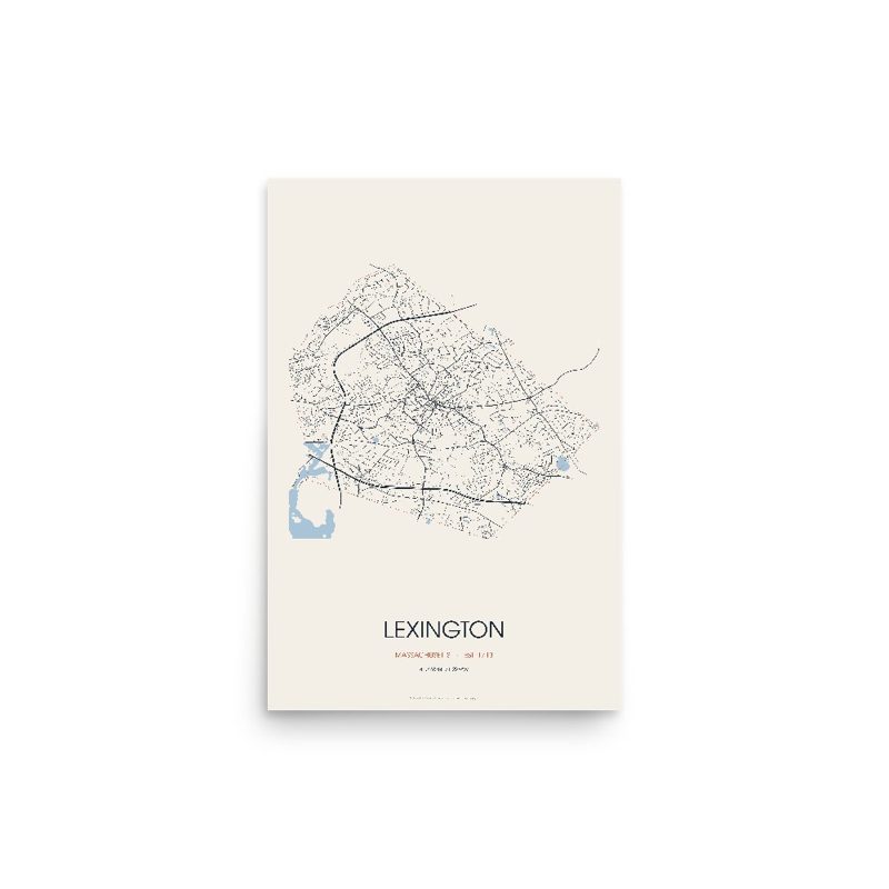
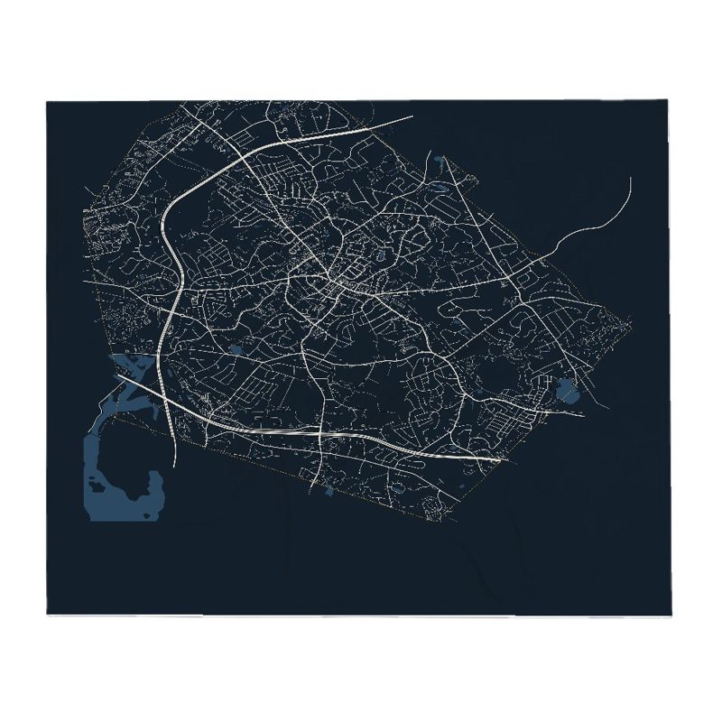
Every road in town, on archival matte paper
The same map, in navy and silver
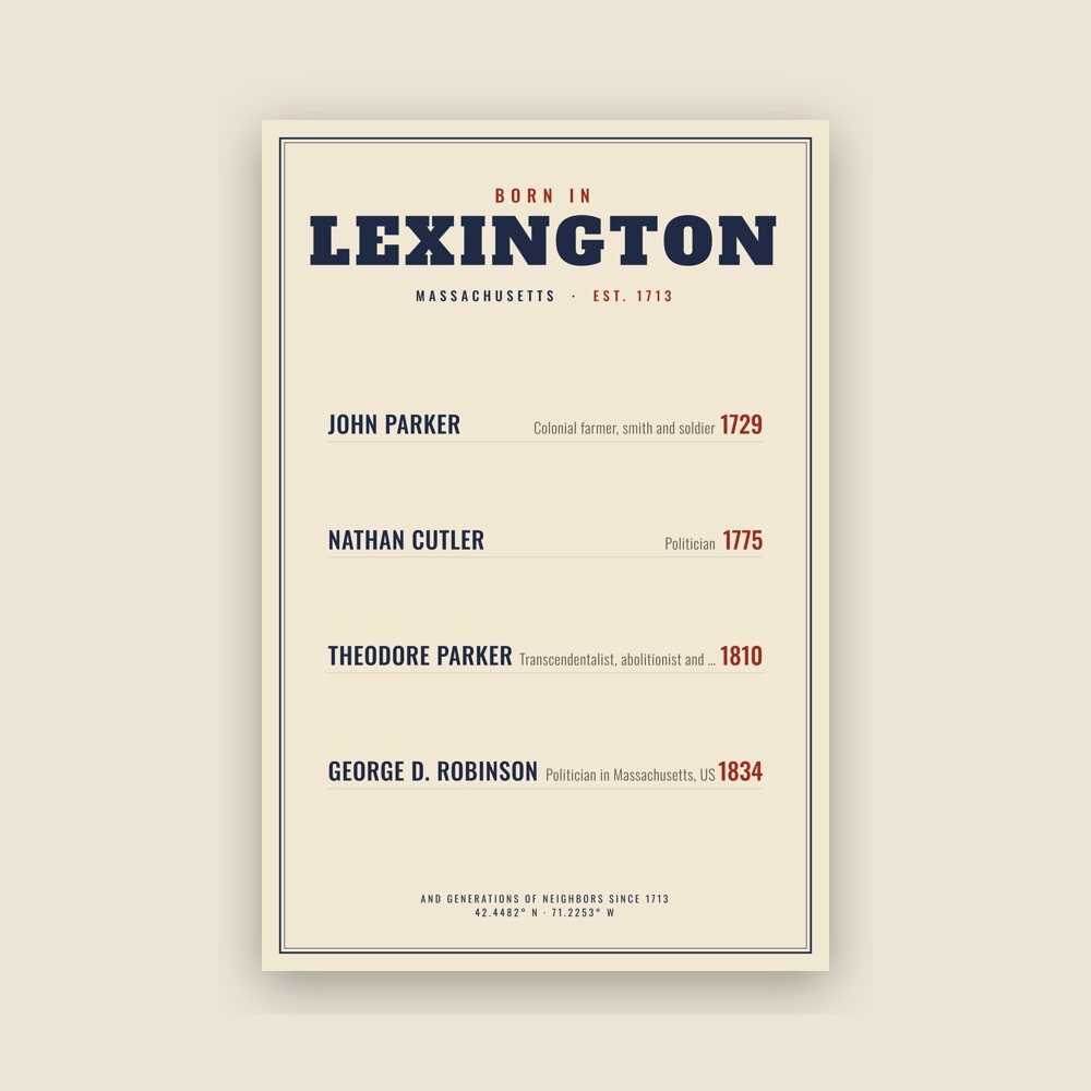
Famous natives, by birth year
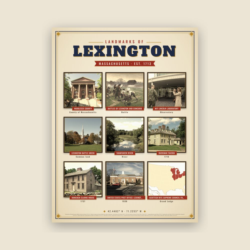
Nine local landmarks, archival matte
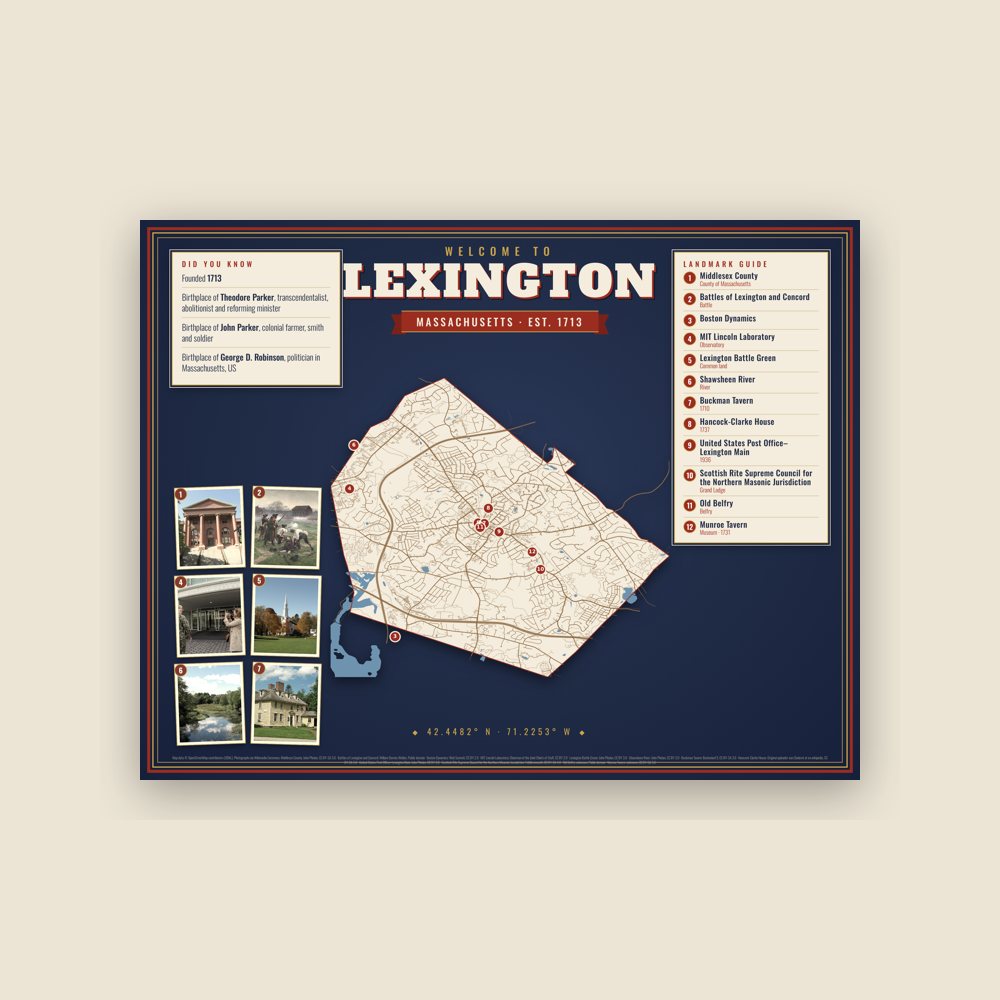
Map of local landmarks, washable fabric
Heavy-blend fleece, street map printed on the back
Soft Bella+Canvas jersey
Glossy ceramic, dishwasher safe
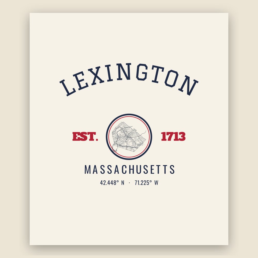
Ceramic keepsake, gold ribbon
Weatherproof, for the front walk
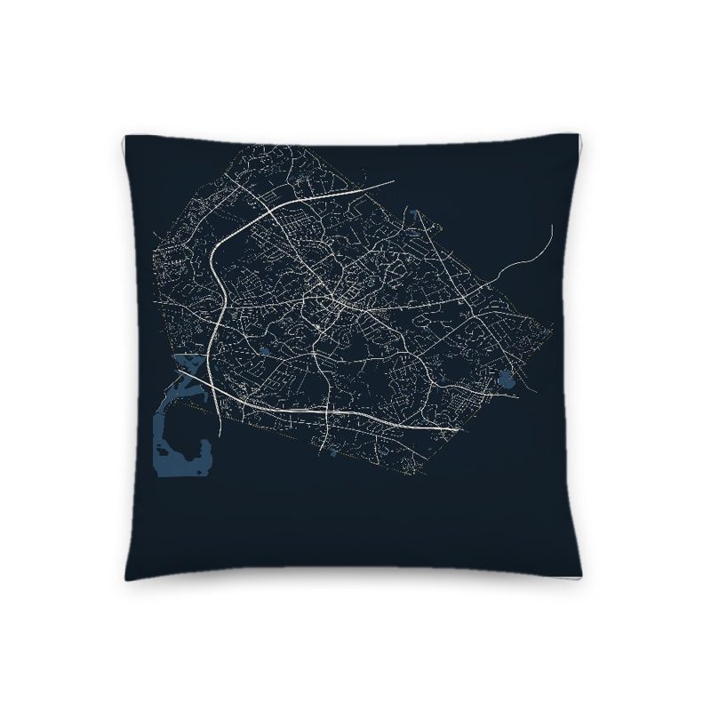
Soft-touch, zip cover
Sturdy all-over-print tote
Glossy top, cork back
Soft fleece, 50″×60″
20 oz, double-wall stainless
Population 2010: 31,394 → 2020: 34,454
From Wikidata (CC0).
Native Americans inhabited the area that would become Lexington for thousands of years prior to European colonization of the Americas, as attested by a woodland-era archaeological site near Loring Hill south of the town center. At the time of European contact, the area may have been a border region between Naumkeag or Pawtucket to the northeast, Massachusett to the south, and Nipmuc to the west, though the land was eventually purchased from the Naumkeag. The contact period introduced a number of European infectious diseases which would decimate native populations in virgin soil epidemics, leaving the area largely uncontested upon the arrival of large groups of English settlers in the Puritan Great Migration. In 1639, the Massachusetts General Court purchased the land that would become present-day Lexington, then within the boundaries of Cambridge, from the Naumkeag Squaw Sachem of Mistick.
The area that is now Lexington was first settled c. 1642 as part of Cambridge, Massachusetts. As the population increased, Lexington was incorporated as a separate parish, called Cambridge Farms, in 1691. This allowed the residents to have their own local church and minister, although they were still under jurisdiction of the Town of Cambridge. Lexington was incorporated as a separate town in 1713. It was then that it got the name Lexington. How the town received its name is the subject of some controversy. One view is that it was named in honor of Lord Lexington, an English peer. Another view is that it was named after Lexington (which was pronounced and is today spelled Laxton) in Nottinghamshire, England.
In the early colonial days, Vine Brook, which runs through Lexington, Burlington, and Bedford, and then empties into the Shawsheen River, was a focal point of the farming and industry of the town. It provided water for many types of mills, and in the 20th century, for farm irrigation.
On April 19, 1775, the first battle of the American Revolutionary War, the Battle at Lexington, took place. On the night of April 18, the British Army sent out 800 grenadiers and light infantry soldiers on foot from Boston, with the intention of destroying Colonial gunpowder and cannons that were being stored in Concord. John Hancock and Samuel Adams, who were staying in Lexington, were warned of the danger by two alarm riders, Paul Revere and William Dawes, who alerted the countryside of the British military movements. When the British arrived on the Lexington Common not long after sunrise, they faced approximately 77 men of the Lexington militia company, commanded by Captain John Parker. Someone—still unknown to this day—fired a shot, provoking an exchange of musket fire between the two sides. Eight Lexington militia men were killed, and ten were wounded. After the rout, the British marched on toward Concord. There, several hundred militia members and minute men from nearby towns assembled near the Old North Bridge to turn back the British and prevent them from capturing and destroying the Colony's stores of gunpowder and military equipment.
Today, the town annually commemorates the battle on the Battle Green with Patriots' Day festivities including reenactments, historic house tours, concerts, various ceremonies, and a parade.
For decades after the Revolutionary War, Lexington grew modestly while remaining largely a farming community, providing Boston with much of its produce. Many of these farms became dense housing developments and subdivisions by the 1970s. One notable housing development was the Peacock Farm residential neighborhood. It was designed by architect Walter Pierce and was built between 1952 and 1958. As of 2012, the neighborhood was on the National Register of Historic Places. Lexington always had a bustling downtown area, which remains to this day. Lexington began to prosper, helped by its proximity to Boston, and having a rail line (originally the Lexington and West Cambridge Railroad, later the Boston and Maine Railroad) service its citizens and businesses, beginning in 1846 until 1981. In 1984, due to the rapid urbanization that occurred in many other suburbs like Lexington, the MBTA proposed expanding the Red Line through Lexington, terminating in Bedford. Despite Lexington and Bedford being on board with the idea, Arlington residents lobbied against the plan and it was shot down by the Board of Selectmen.
Lexington, as well as many of the towns along the Route 128 corridor, experienced a jump in population in the 1960s and 1970s, due to the high-tech boom. In the 21st Century, major companies such as Novo, Takeda Pharmaceutical Company and BAE Systems have operations within the town limits. The urbanization and massive job growth resulted in soaring property values, and the school system becoming nationally recognized for its excellence. The town participates in the METCO program, which buses minority students from Boston to suburban towns to receive better educational opportunities than those available to them in the Boston Public Schools.
Lexington was the Cold War location of the USAF "Experimental SAGE Subsector" for testing a developmental prototype IBM computer, which that arrived in July 1955 for development of a computerized "national air defense network" (the namesake "Lexington Discrimination System" for incoming ICBM warheads was developed in the late 1960s).
Adapted (trimmed) from the Wikipedia article Lexington, Massachusetts, revision 1379176958 by its contributors, licensed CC BY-SA 4.0.
We share a part of every Lexington sale with local partners, and we'd love to print from your collection. Old photographs, maps and postcards make the best keepsakes.
Partner with us