Rutland County, Vermont
Street maps, historic prints and keepsakes for 29 Rutland County towns.
The oldest is Rutland City, established 1892. The largest by population is Rutland (15,807).
| Town | Established | Population |
|---|---|---|
| Benson | – | 974 |
| Brandon | – | 4,129 |
| Castleton | – | 4,458 |
| Chittenden | – | 1,237 |
| Clarendon | – | 2,412 |
| Danby | – | 1,284 |
| Fair Haven | – | 2,736 |
| Hubbardton | – | 735 |
| Ira | – | 368 |
| Killington | – | 1,407 |
| Mendon | – | 1,149 |
| Middletown Springs | – | 794 |
| Mount Holly | – | 1,385 |
| Mount Tabor | – | 210 |
| Pawlet | – | 1,424 |
| Pittsfield | – | 504 |
| Pittsford | – | 2,862 |
| Poultney | – | 3,020 |
| Proctor | – | 1,763 |
| Rutland | – | 15,807 |
| Rutland City | 1892 | 15,807 |
| Rutland Town | – | 3,924 |
| Shrewsbury | – | 1,096 |
| Sudbury | – | 545 |
| Tinmouth | – | 553 |
| Wallingford | – | 2,129 |
| Wells | – | 1,214 |
| West Haven | – | 239 |
| West Rutland | – | 2,214 |
About these towns
Benson: In 1777, Walter Durfee, a Revolutionary War veteran from Massachusetts, made the first settlement in Benson. At that time the only road in town was the military road from Castleton to Ticonderoga, over which General St.
Brandon: Brandon is a study in early American architecture and Vermont history. When the first settlers came to the area in the mid-1770s, they established the village of Neshobe.
Castleton: Castleton was settled in 1770 and chartered in 1761. The charter for 36 square miles (93 km2) of land was granted by Governor Benning Wentworth of New Hampshire and divided the land into 70 "rights" or "shares".
Chittenden: Chittenden was named after Thomas Chittenden, one of the Green Mountain Boys and governor of both the independent Vermont Republic, and later, the state of Vermont.
Clarendon: The area that later formed the Town of Clarendon was settled by families from lower New England as early as 1762. It and the surrounding area was then part of Albany County, New York, but was later split off as Charlotte County until Vermont declared itself as a republic around 1777.
Fair Haven: Fair Haven was chartered on October 27, 1779, to Ebenezer Allen and 76 associates, and first settled the same year. The township originally included West Haven, which was set off on October 20, 1792.
Hubbardton: The town was named for Thomas Hubbard, a landholder.
Ira: It was named for Ira Allen, brother of Ethan Allen, who fought with the Green Mountain Boys of the Revolutionary War.
Killington: The town of Killington was chartered on July 7, 1761, by a New Hampshire grant. In 1800, it was renamed Sherburne after landholder Colonel Benjamin Sherburne.
Mendon: In February 1781, the town chartered under the name "Medway." The town name changed "Parkerstown" after it annexed a tract of land in November 1804.
Middletown Springs: Settlement began shortly before the American Revolutionary War. At that time, the four towns of Ira, Poultney, Wells, and Tinmouth converged within a fertile valley ringed by mountains.
Mount Holly: It includes the hamlets of Belmont, Healdville, Hortonville, and Tarbellville.
Pawlet: Pawlet was one of the New Hampshire Grants, chartered from Benning Wentworth, Governor of colonial New Hampshire. The charter was granted on August 26, 1761, to Jonathan Willard and 61 other shareholders.
Pittsfield: Granted on November 8, 1780, the town was chartered on July 29, 1781, to Samuel Wilcox and 129 others. Pittsfield was named after Pittsfield, Massachusetts, which itself had been named in honor of William Pitt.
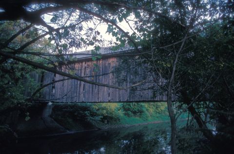
Pittsford: Pittsford was first settled as a frontier town in 1769, about 60 miles (97 km) north of Bennington. It is the location of two historical picket forts used by the militia during the American Revolutionary War: Fort Mott (built in 1777), and Fort Vengeance (built from 1780 to 1781), about a mile north.
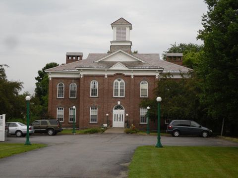
Poultney: New York is on its western border. Castleton, Vermont, is on its northern border. Poultney was home to Green Mountain College, a private liberal arts college that closed in 2019.
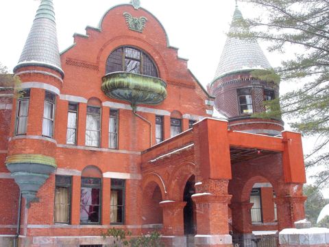
Proctor: In the early 19th century, small high-quality marble deposits were discovered in Rutland, and in the 1830s a large deposit of nearly solid marble of high quality was found in what is now West Rutland.
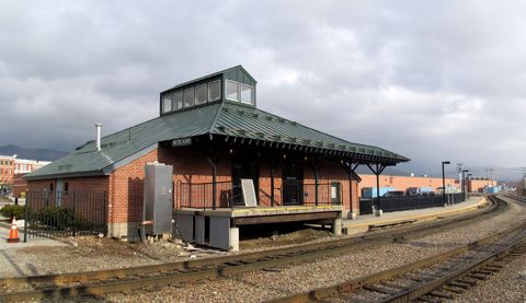
Rutland: Rutland, Vermont may refer to:Rutland (city), Vermont Rutland (town), Vermont Rutland County, Vermont West Rutland, Vermont
Rutland City: Rutland is the only city in and the seat of Rutland County, Vermont, United States. It is located approximately 65 miles (105 km) north of the Massachusetts state line, 35 miles (56 km) west of New Hampshire state line, and 20 miles (32 km) east of the New York state line.
Rutland Town: Rutland Town completely surrounds Rutland City, which is a separate municipality. The villages of the town effectively comprise the inner suburbs of Rutland City.
Shrewsbury: The town was named for the Earl of Shrewsbury.
Tinmouth: Tinmouth was established in 1761 in a region that came to be known as the New Hampshire Grants. Tinmouth's population peaked in 1820, and for the next 150 years the town's population gradually declined, reaching its lowest (268) in 1970.
Wallingford: Wallingford also contains the villages of East Wallingford and South Wallingford.
West Rutland: The town of Rutland was originally granted in 1761 as one of the New Hampshire Grants and named after Rutland, Massachusetts, the home of the first grantee, John Murrey.
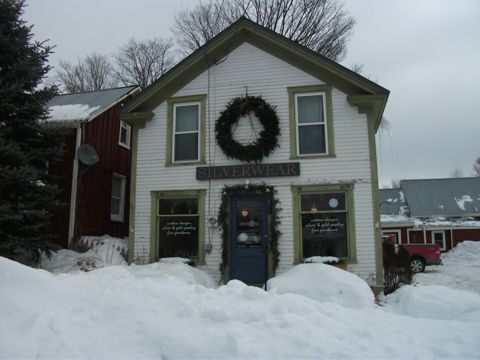 BensonVermont
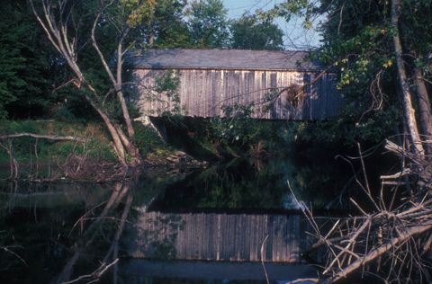 BrandonVermont
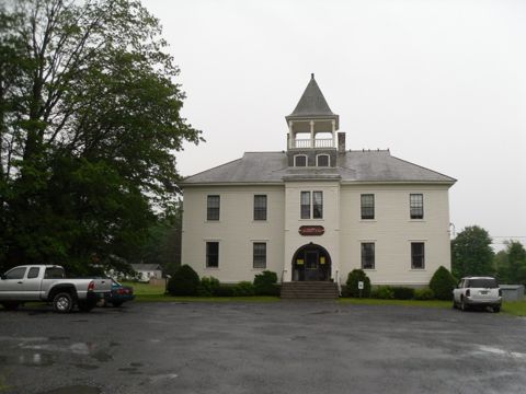 CastletonVermont
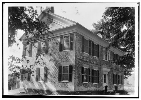 ChittendenVermont
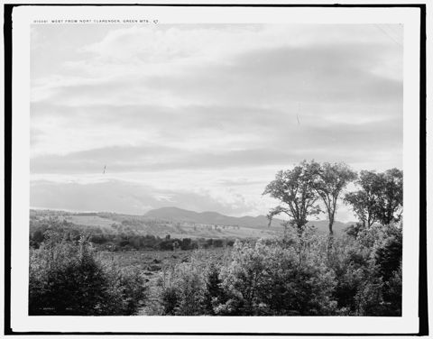 ClarendonVermont
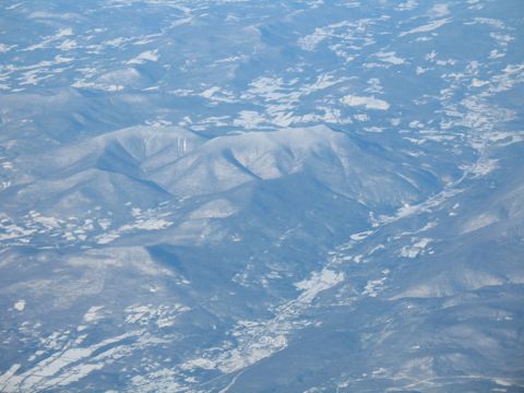 DanbyVermont
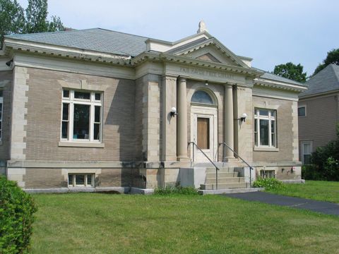 Fair HavenVermont
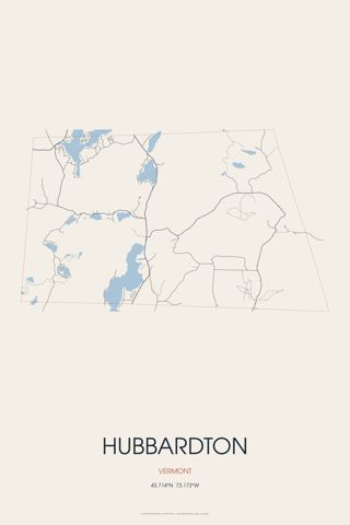 HubbardtonVermont
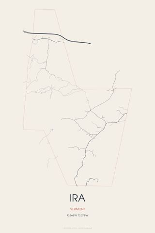 IraVermont
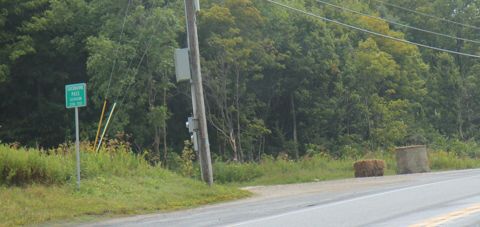 KillingtonVermont
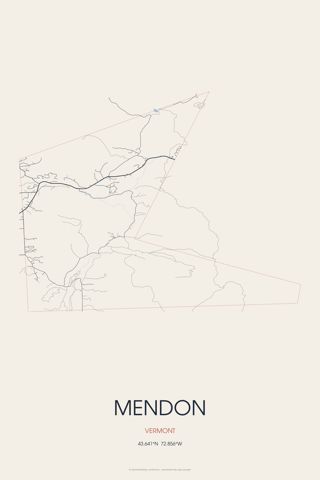 MendonVermont
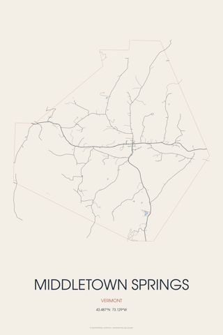 Middletown SpringsVermont
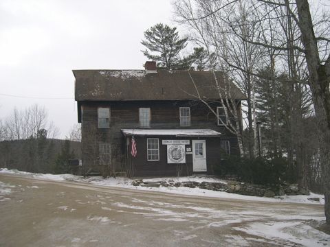 Mount HollyVermont
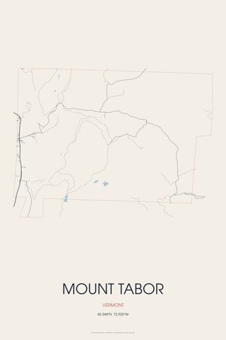 Mount TaborVermont
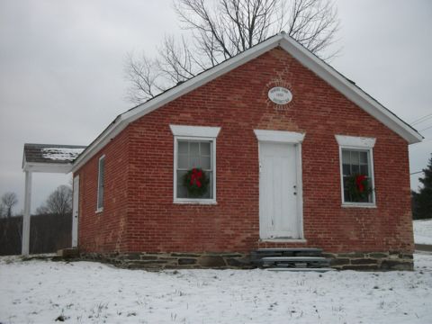 PawletVermont
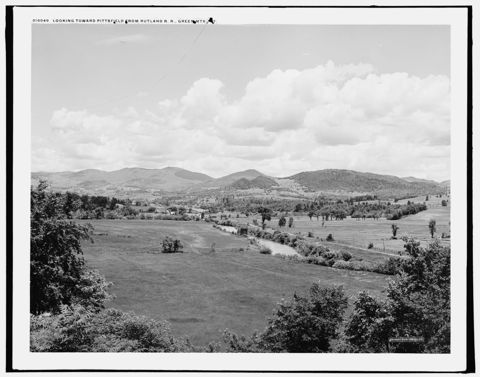 PittsfieldVermont
 PittsfordVermont
 PoultneyVermont
 ProctorVermont
 RutlandVermont
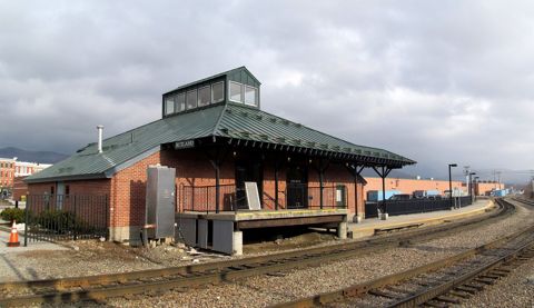 Rutland CityVermont · Est. 1892
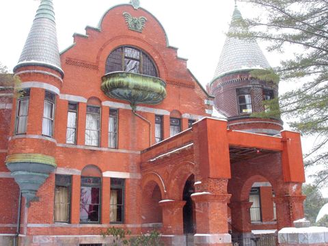 Rutland TownVermont
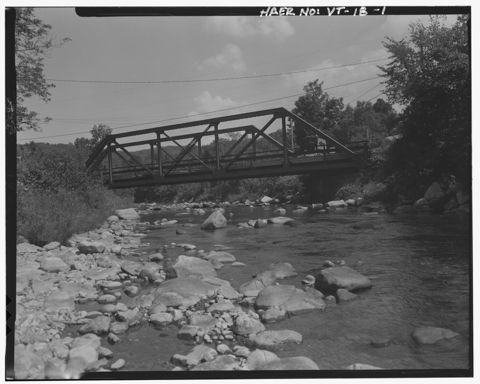 ShrewsburyVermont
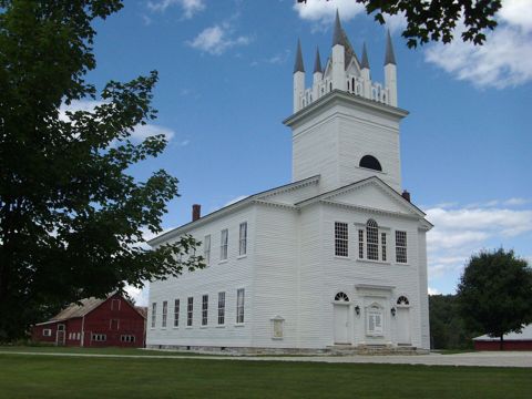 SudburyVermont
Founding years, populations and town notes come from each town's Wikipedia and Wikidata entries. All Vermont towns.