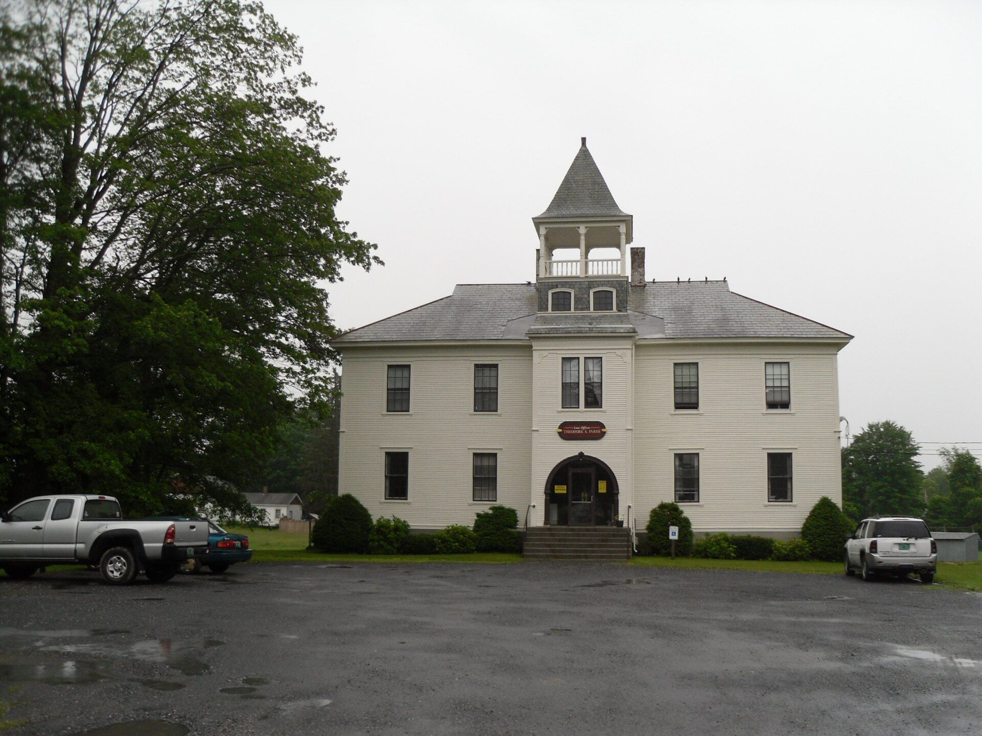
Castleton is about 15 miles to the west of Rutland, the county's seat and most populous city, and about 7 miles east of the New York/Vermont state border. Landmarks include Castleton, Castleton Medical College Building and Hydeville School. Castleton is the birthplace of David Swinson Maynard, pioneer and doctor.
Every piece is drawn from Castleton's own map data and historic archives, then printed and shipped from the USA when you order. No two towns look alike.
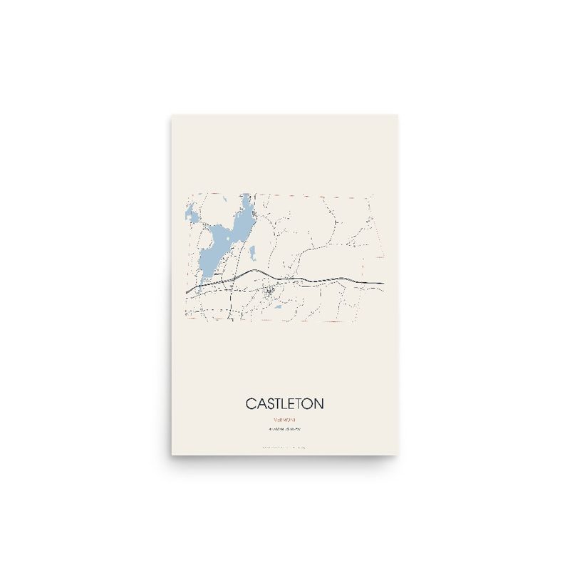
Every road in town, on archival matte paper
The same map, in navy and silver
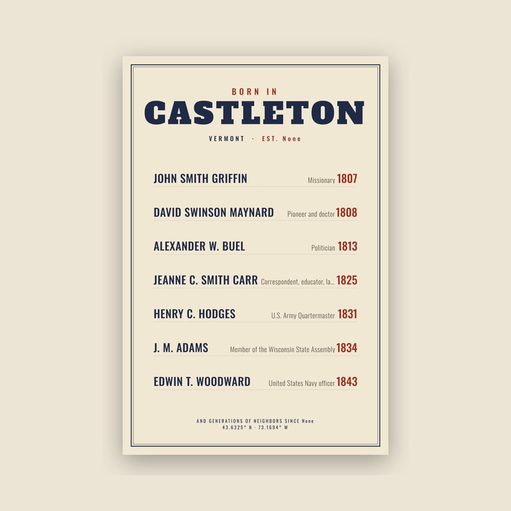
Famous natives, by birth year
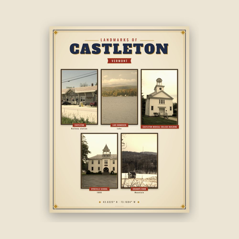
Nine local landmarks, archival matte
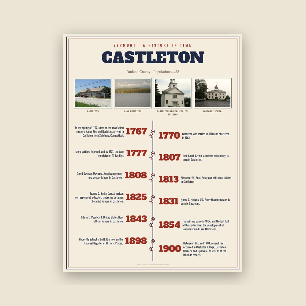
The town's story in dates, from its own records, for home or classroom
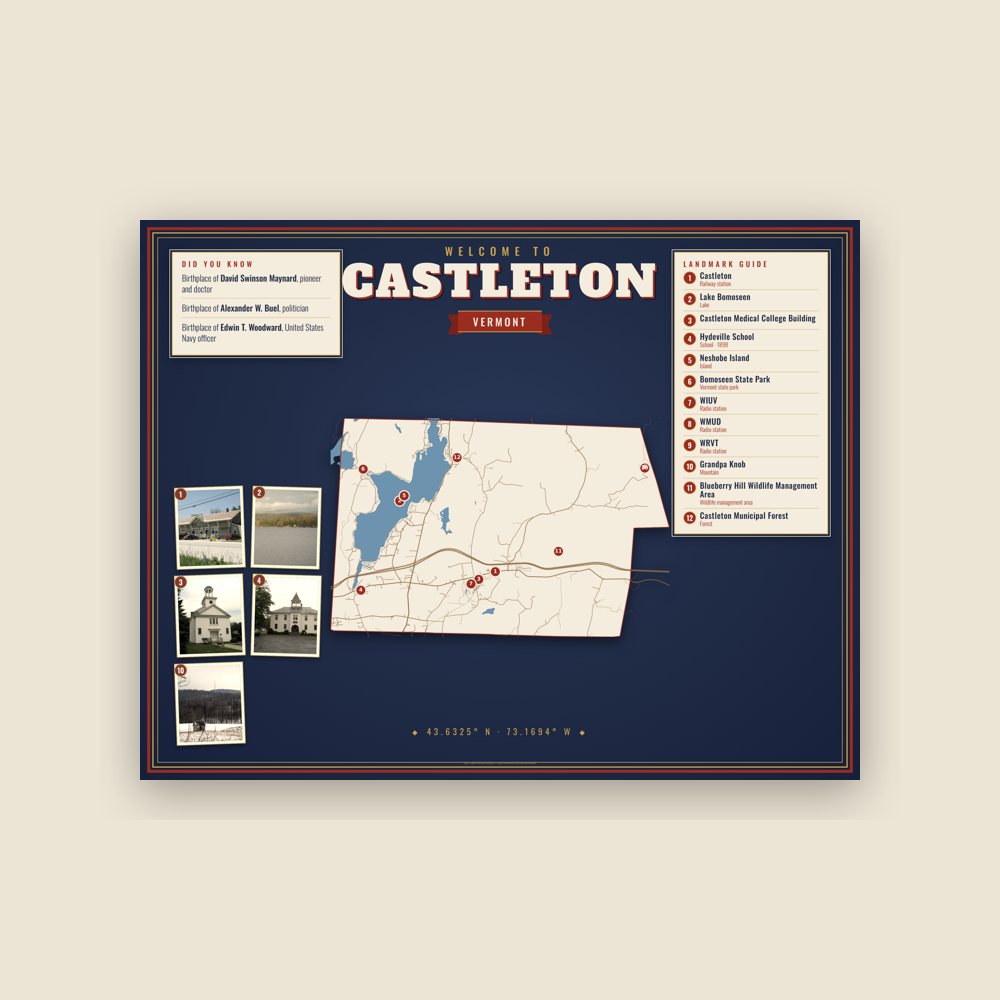
Map of local landmarks, washable fabric
Heavy-blend fleece, street map printed on the back
Soft Bella+Canvas jersey
Glossy ceramic, dishwasher safe
Ceramic keepsake, gold ribbon
Weatherproof, for the front walk
24″×16″, printed coir-look fibers, rubber back
12″×12″ printed wood, ready to hang
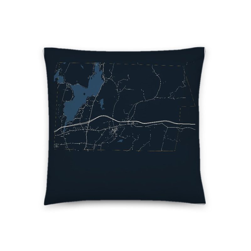
Soft-touch, zip cover
Sturdy all-over-print tote
Glossy top, cork back
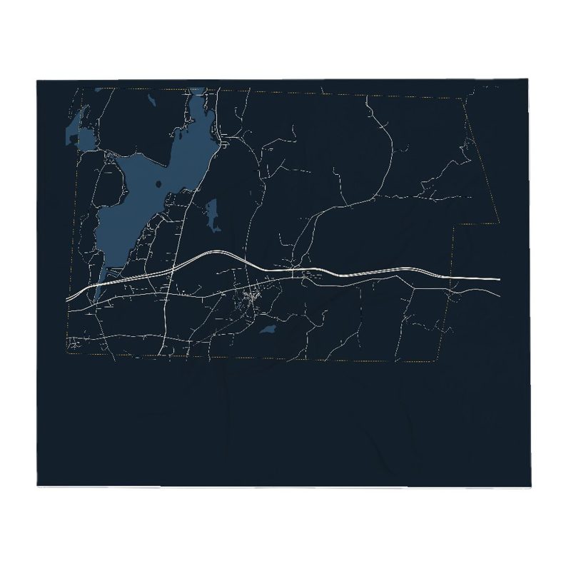
Soft fleece, 50″×60″
20 oz, double-wall stainless
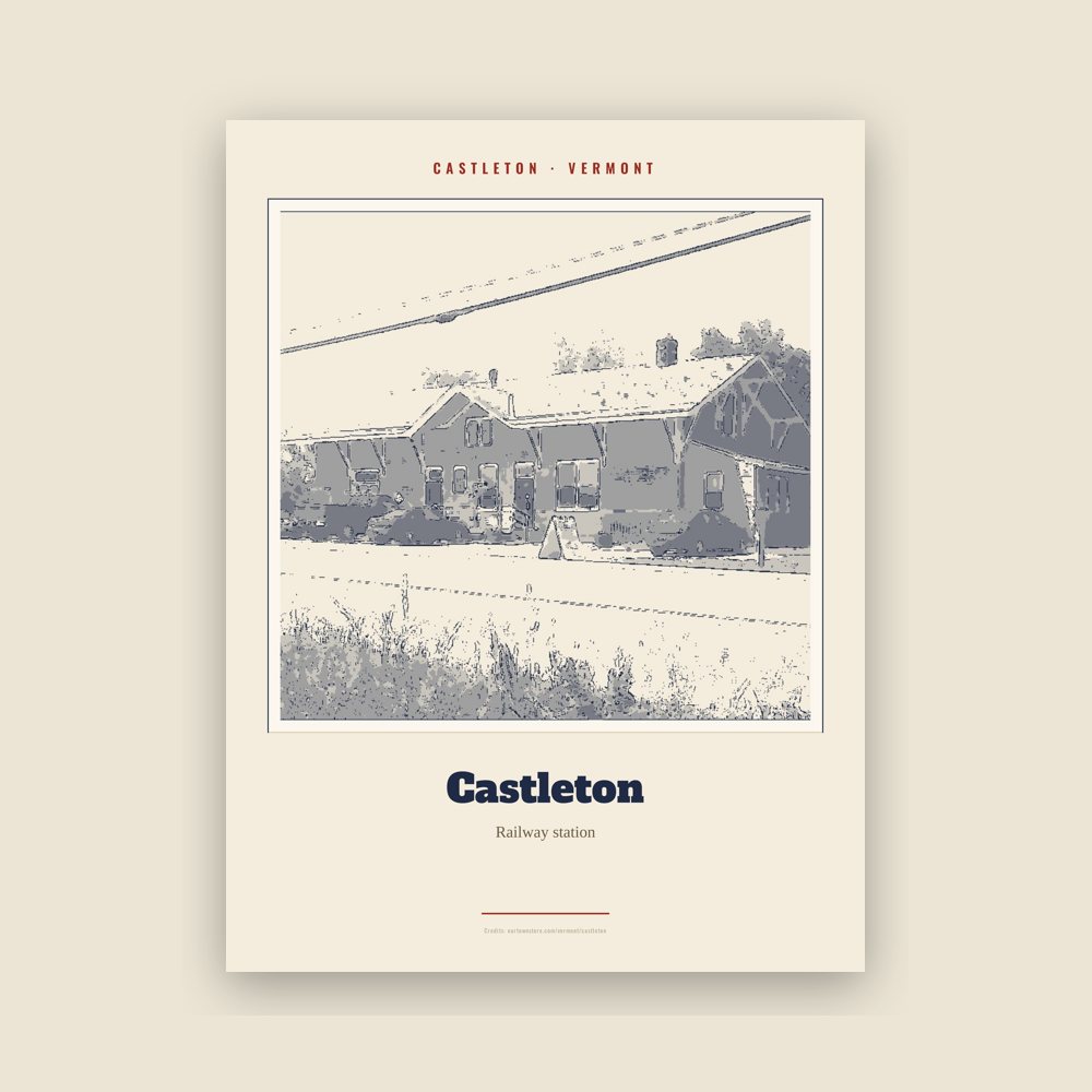
Archival matte print of a local landmark, credited to its photographer
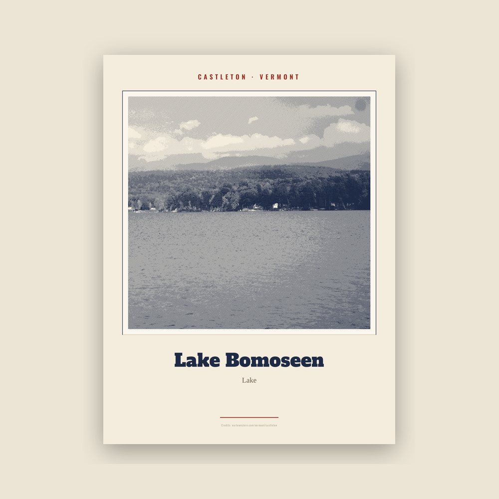
Archival matte print of a local landmark, credited to its photographer
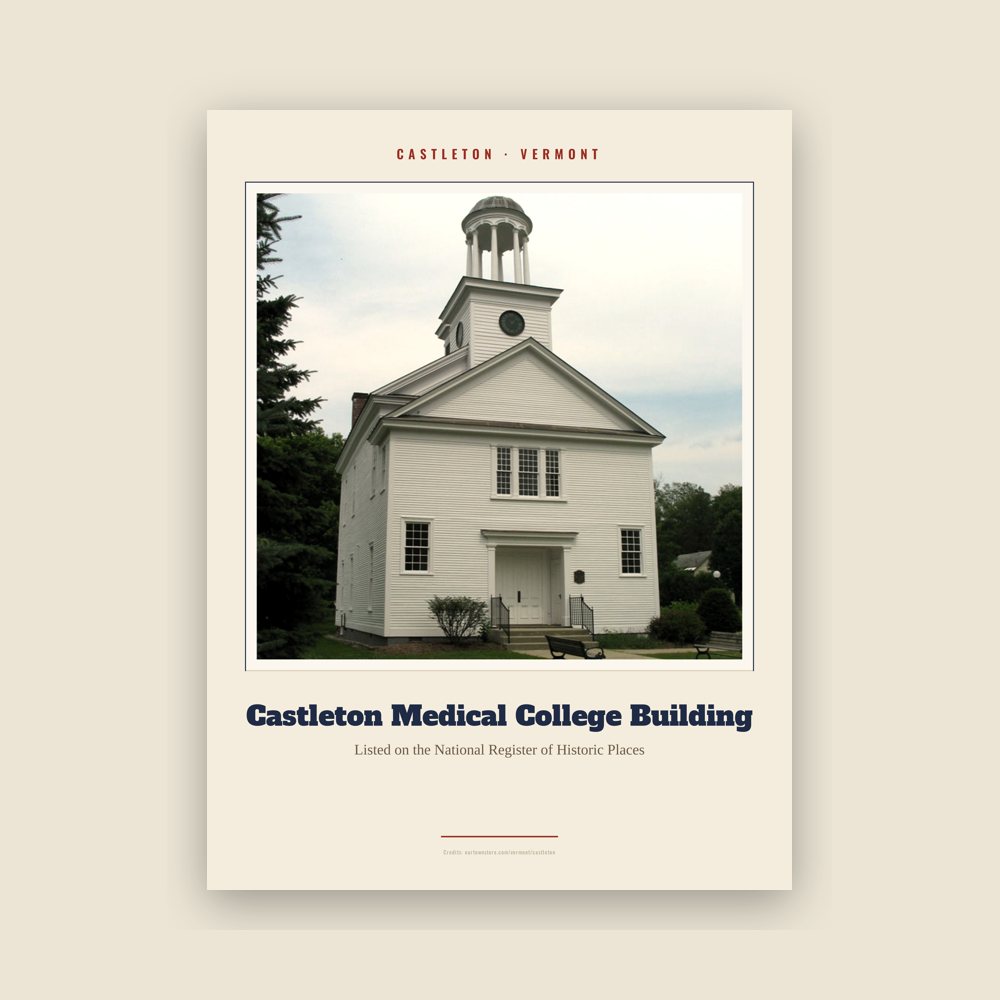
Archival matte print of a local landmark, credited to its photographer
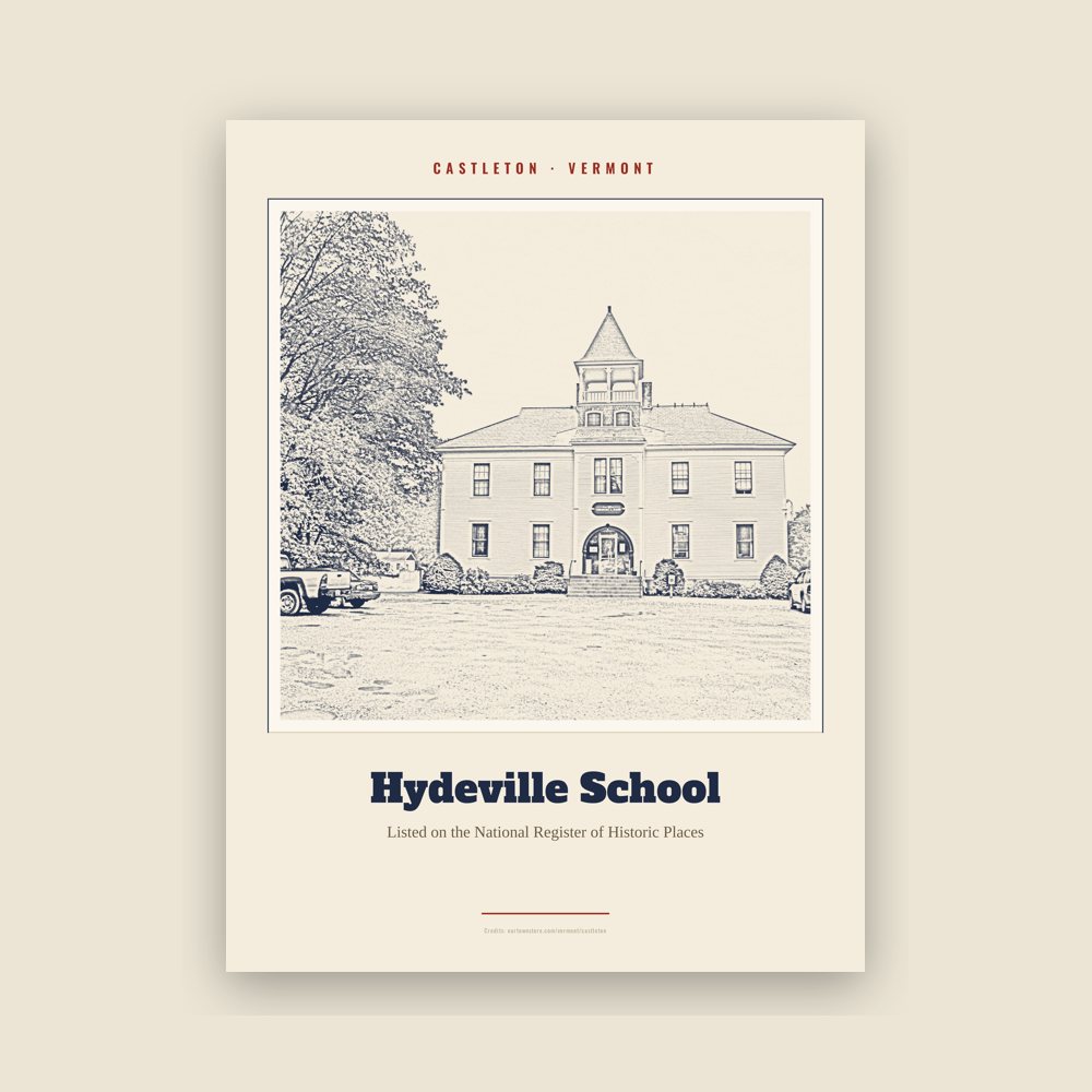
Archival matte print of a local landmark, credited to its photographer
Archival matte print of a local landmark, credited to its photographer
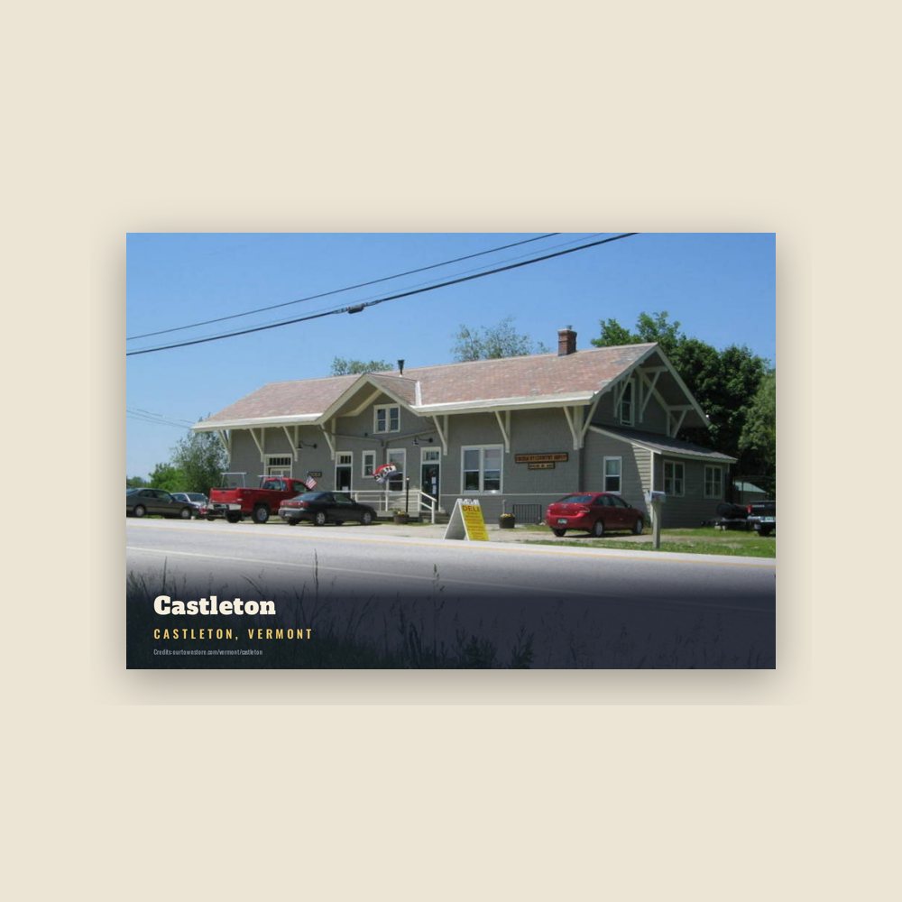
6″×4″ postcard, glossy front
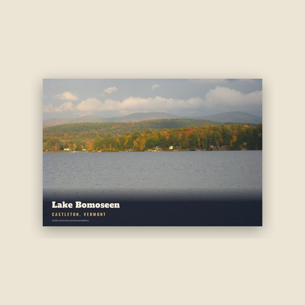
6″×4″ postcard, glossy front
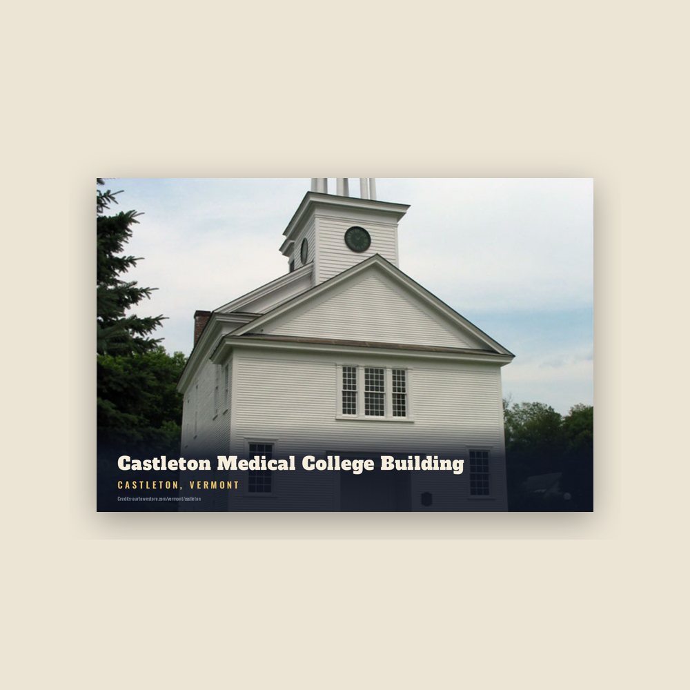
6″×4″ postcard, glossy front
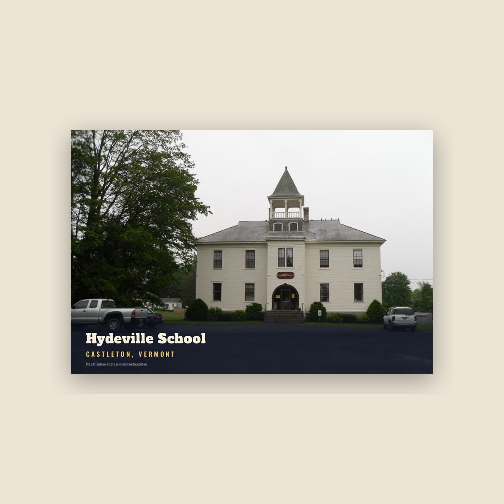
6″×4″ postcard, glossy front
6″×4″ postcard, glossy front
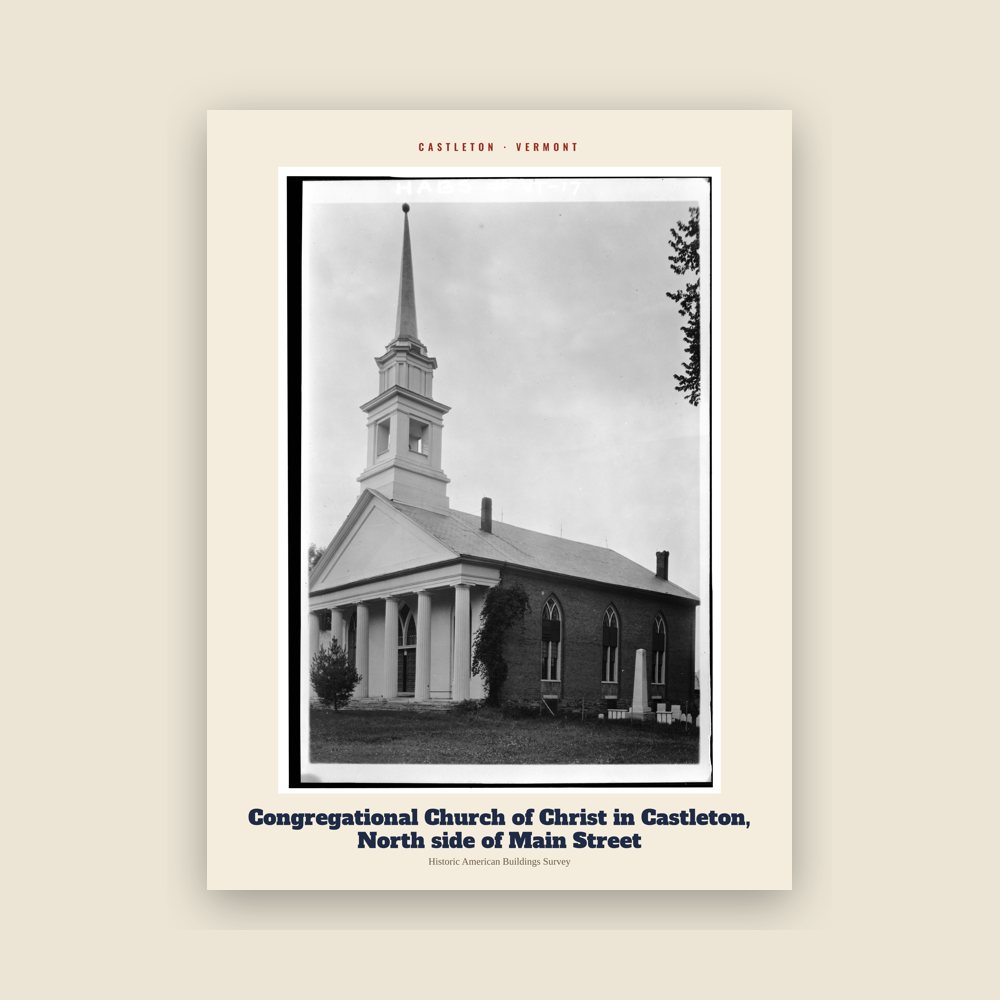
From the Library of Congress collections: a historic survey drawing or photograph of the town
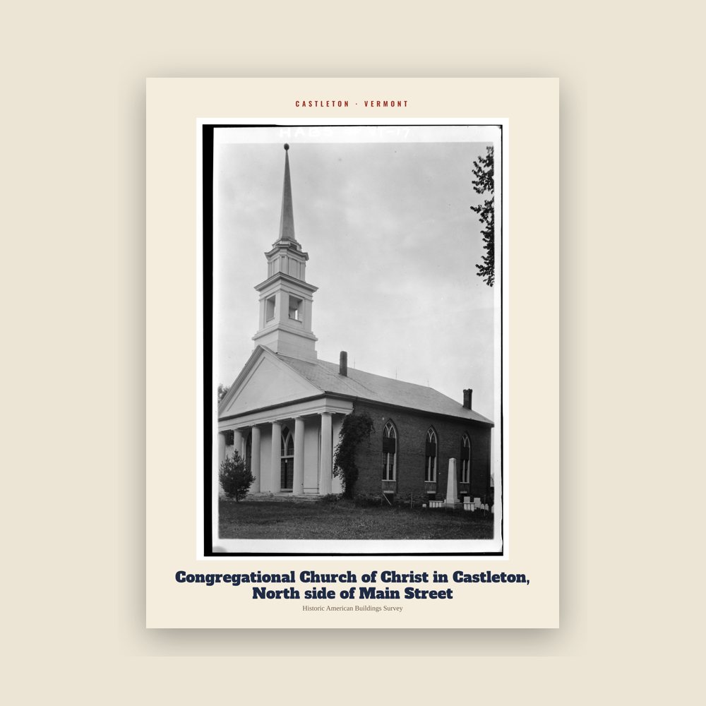
From the Library of Congress collections: a historic survey drawing or photograph of the town
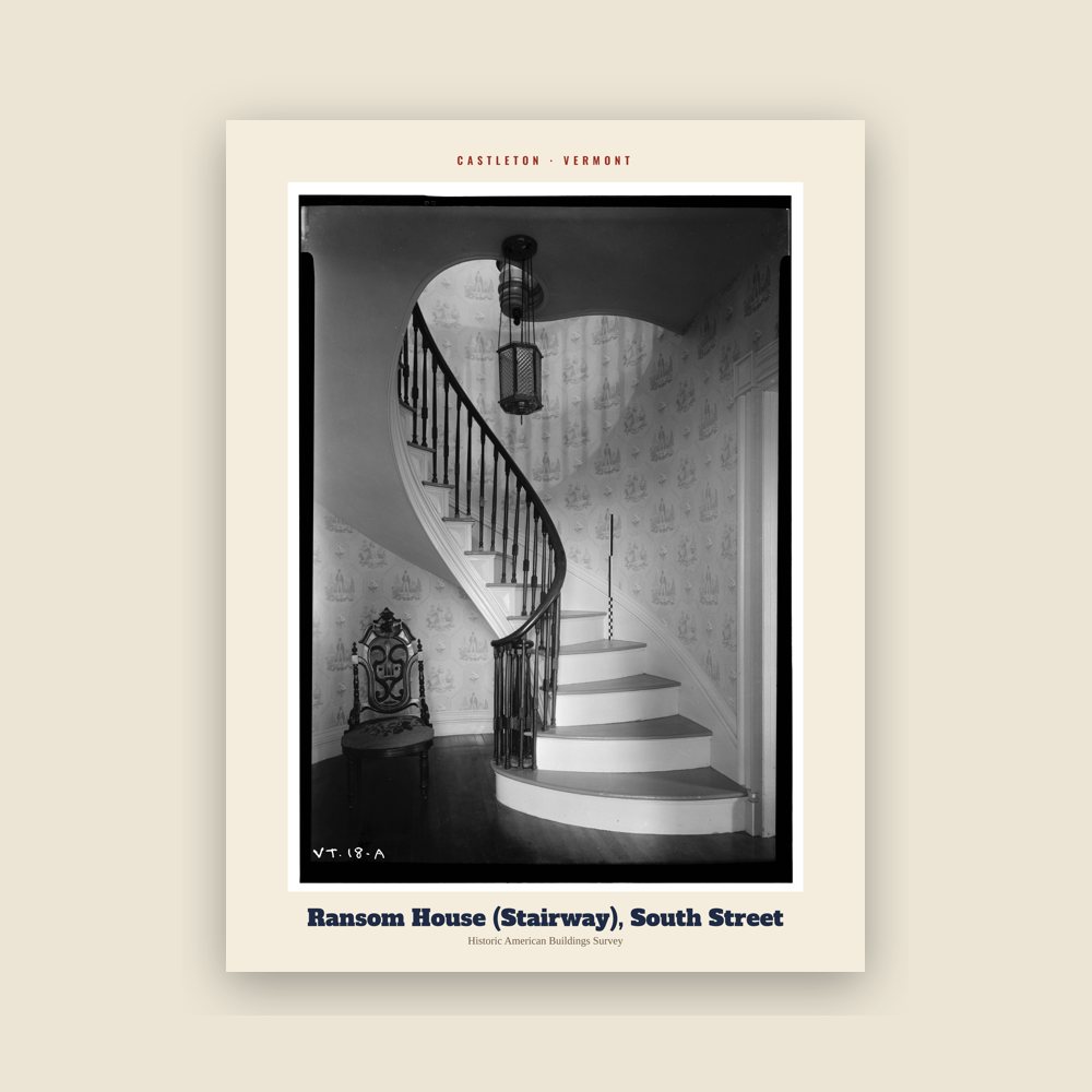
From the Library of Congress collections: a historic survey drawing or photograph of the town
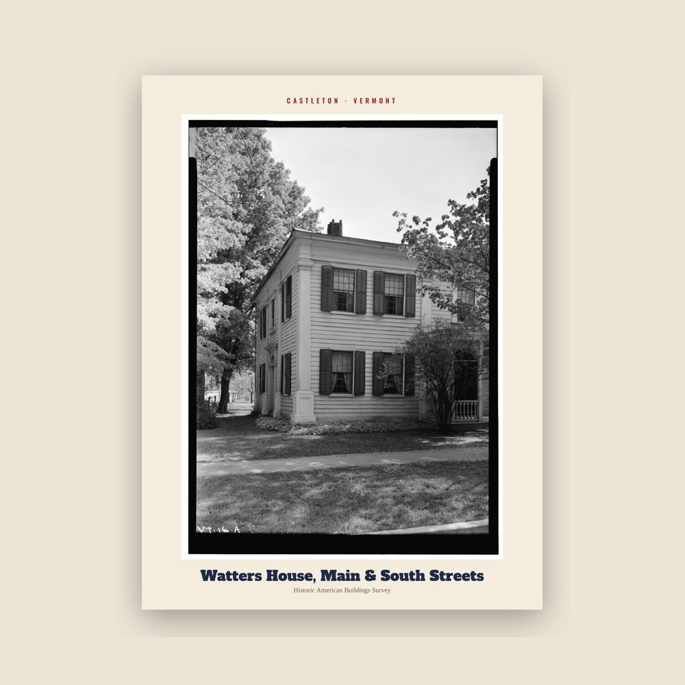
From the Library of Congress collections: a historic survey drawing or photograph of the town
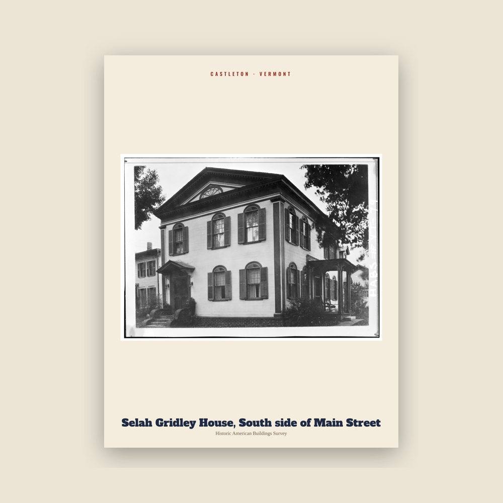
From the Library of Congress collections: a historic survey drawing or photograph of the town
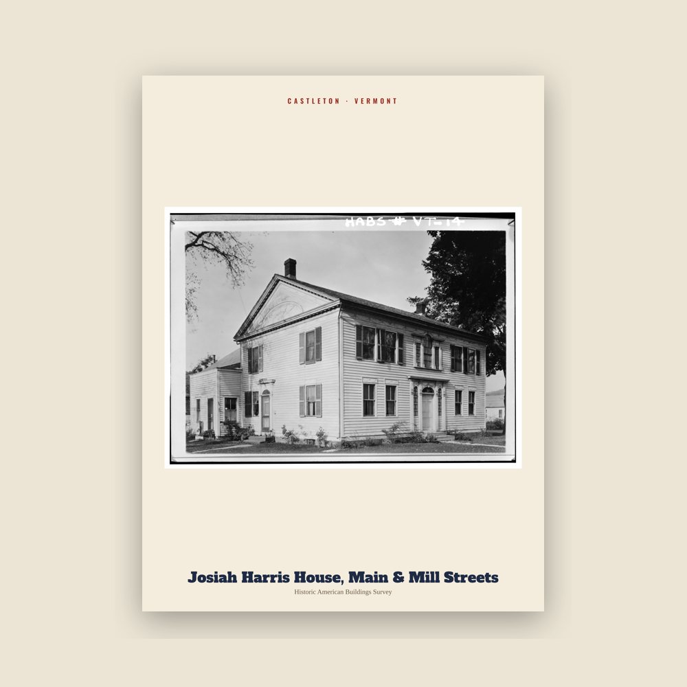
From the Library of Congress collections: a historic survey drawing or photograph of the town
Population 2010: 4,717 → 2020: 4,458
From Wikidata (CC0).
Castleton was settled in 1770 and chartered in 1761. The charter for 36 square miles (93 km2) of land was granted by Governor Benning Wentworth of New Hampshire and divided the land into 70 "rights" or "shares". Governor Wentworth retained ownership of two shares, and several others were given for churches and a school.
Three families had settled in Castleton by 1770. In the spring of 1767, some of the town's first settlers, Amos Bird and Noah Lee, arrived in Castleton from Salisbury, Connecticut. Castleton's favorite landmark, Birdseye Mountain, is named for Colonel Amos Bird. He had acquired 40 shares of land when the town was chartered and built a permanent residence there in the summer of 1769. More settlers followed, and by 1777, the town consisted of 17 families.
In May 1775, Ethan Allen and his Green Mountain Boys met in Castleton with Benedict Arnold to plan their next day's attack on Fort Ticonderoga, 30 miles (48 km) west, on the New York side of Lake Champlain. Their successful capture of the fort was a holding action that lasted two years until the British launched a powerful sweep southward on Lake Champlain. The battle at nearby Hubbardton, followed by battles at Bennington and Saratoga, marked the turning point of the Revolutionary War in the north. Although German soldiers were stationed in Castleton for a time in 1777, they left as the fortunes of the war changed, and Tory sympathizers were treated with scorn by Castleton settlers. Fort Warren, built in 1777, was also located in Castleton.
Following the war, Castleton continued to grow as an agricultural community. Farmers raised cattle, and then turned for a while to sheep. Sawmills and gristmills were the first industries established in town. During the 19th century, the slate and marble industries thrived in and around Castleton. The railroad came in 1854, and the last half of the century had the development of tourism around Lake Bomoseen. In the 19th century, Castleton flourished, and many residents built elaborate houses to replace their log cabins and primitive frame houses. Several luxury hotels were built around the west end of the lake. A trolley system ran from the center of town to Lake Bomoseen, a destination for tourists vacationing during the summer. The Hydeville area flourished in the mid-19th century as a slate-quarrying and milling center.
Between 1900 and 1940, several fires occurred in Castleton Village, Castleton Corners, and Hydeville, as well as at the lakeside resorts. Despite this destruction of hotels and the original commercial and industrial areas of its villages, the town of Castleton retains an architectural heritage spanning 200 years of Vermont history. Castleton's mile-long, tree-shaded Main Street, with its array of Federal- and Greek Revival-style houses and public buildings, many by builder Thomas Royal Dake, has been listed almost in its entirety on the National Register of Historic Places.
Adapted (trimmed) from the Wikipedia article Castleton, Vermont, revision 1374264569 by its contributors, licensed CC BY-SA 4.0.
We share a part of every Castleton sale with local partners, and we'd love to print from your collection. Old photographs, maps and postcards make the best keepsakes.
Partner with us