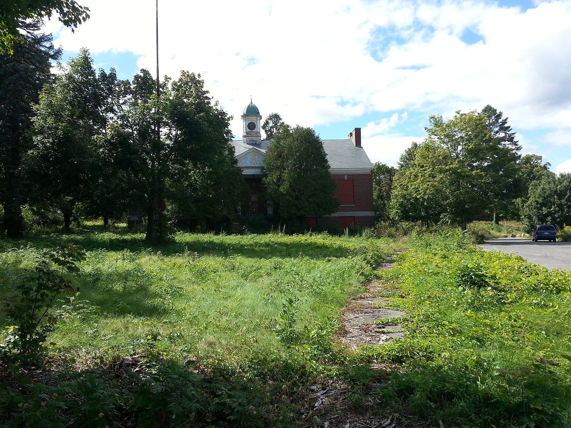
Artifacts found in the early 20th century just south of Dwight, near Lake Metacomet, suggest, "evidence of Native American occupations in Belchertown" that began some 7,000 years ago. Landmarks include Belchertown State School, Belchertown Center Historic District and Walker-Collis House. Belchertown is the birthplace of Robert S. Woodworth, psychologist & scholar.
Every piece is drawn from Belchertown's own map data and historic archives, then printed and shipped from the USA when you order. No two towns look alike.
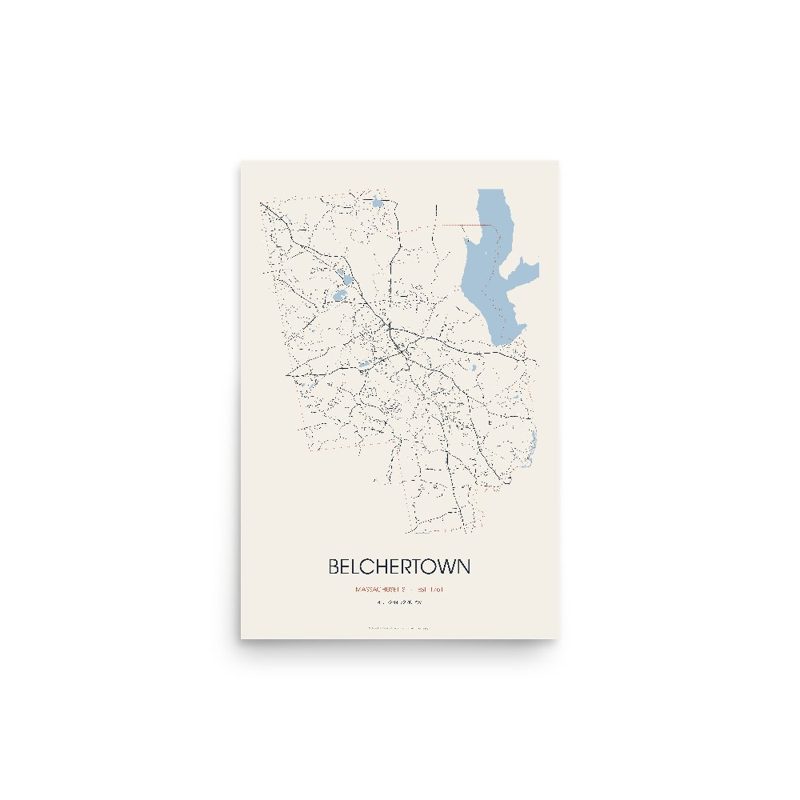
Every road in town, on archival matte paper
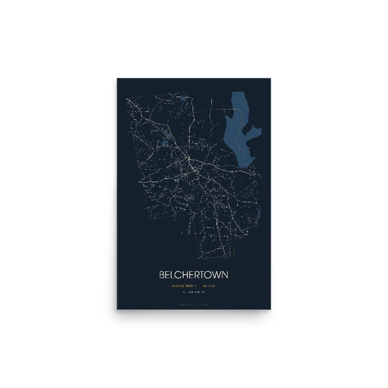
The same map, in navy and silver
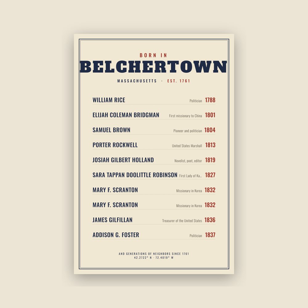
Famous natives, by birth year
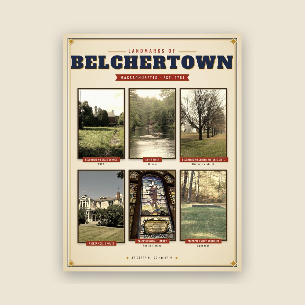
Nine local landmarks, archival matte
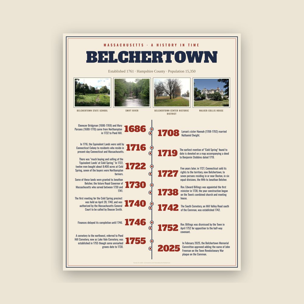
The town's story in dates, from its own records, for home or classroom
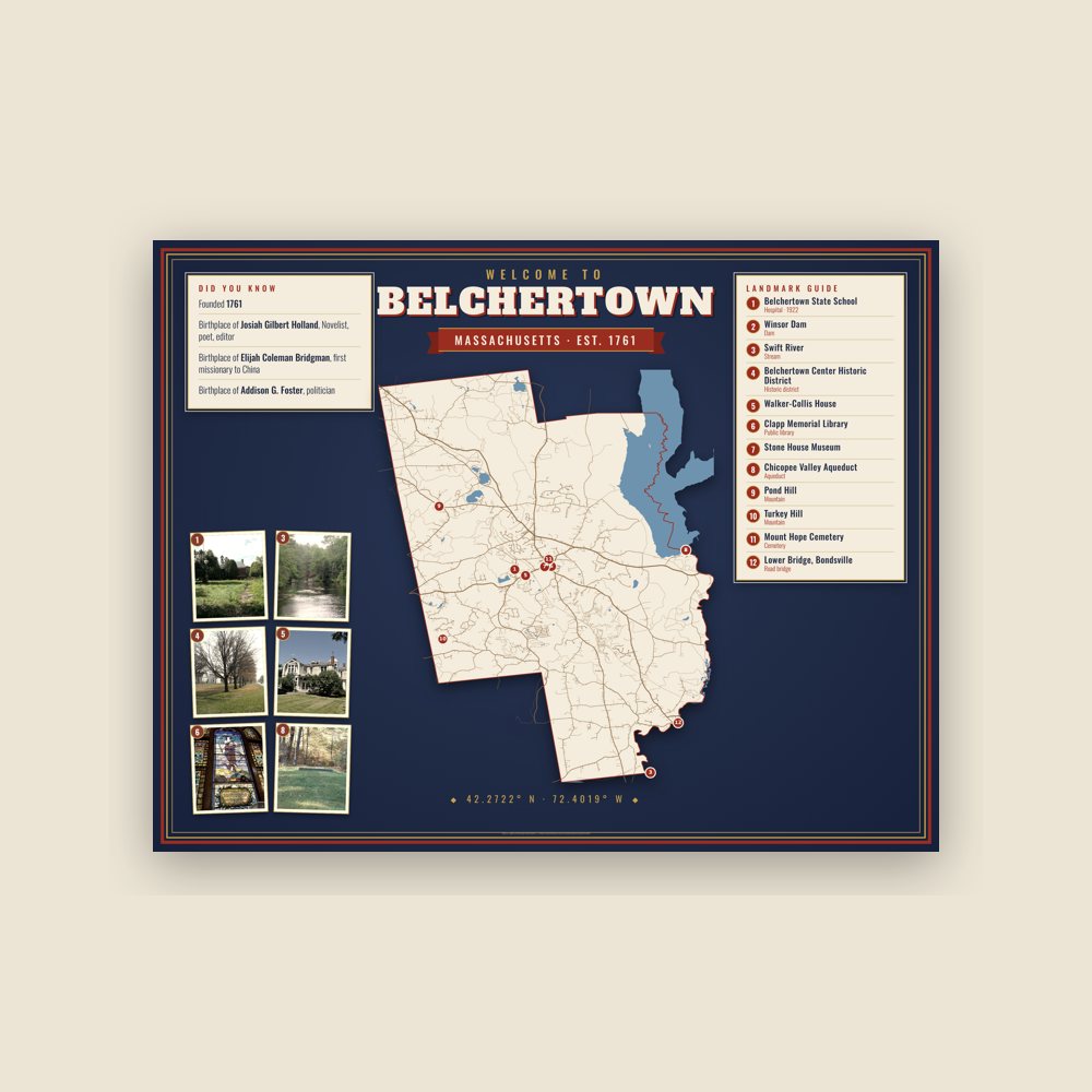
Map of local landmarks, washable fabric
Heavy-blend fleece, street map printed on the back
Soft Bella+Canvas jersey
Glossy ceramic, dishwasher safe
Ceramic keepsake, gold ribbon
Weatherproof, for the front walk
24″×16″, printed coir-look fibers, rubber back
12″×12″ printed wood, ready to hang
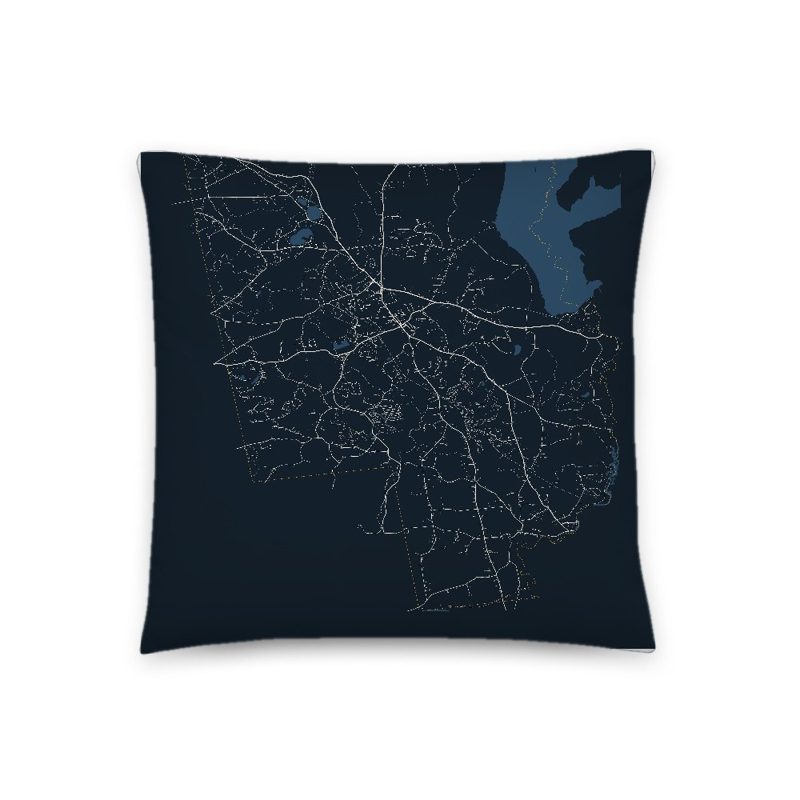
Soft-touch, zip cover
Sturdy all-over-print tote
Glossy top, cork back
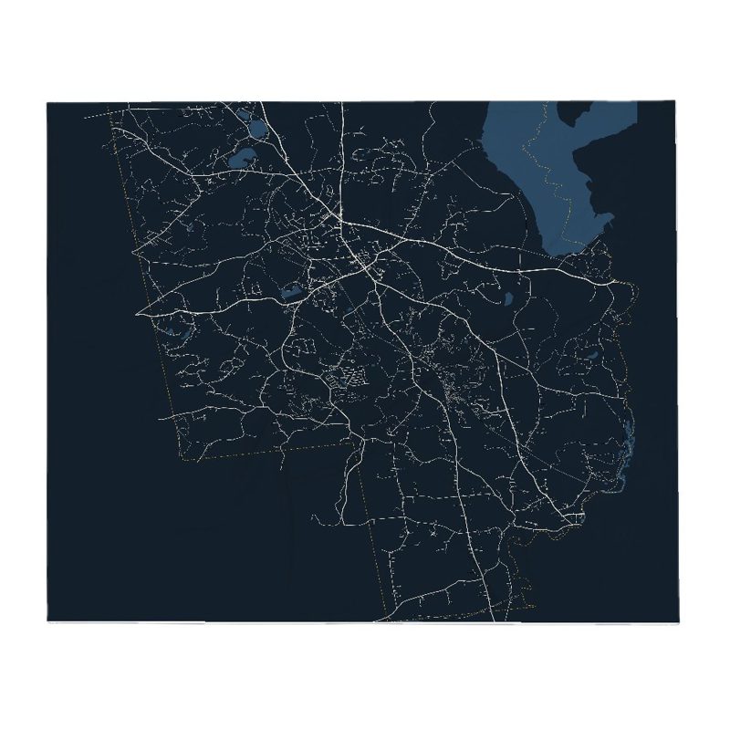
Soft fleece, 50″×60″
20 oz, double-wall stainless
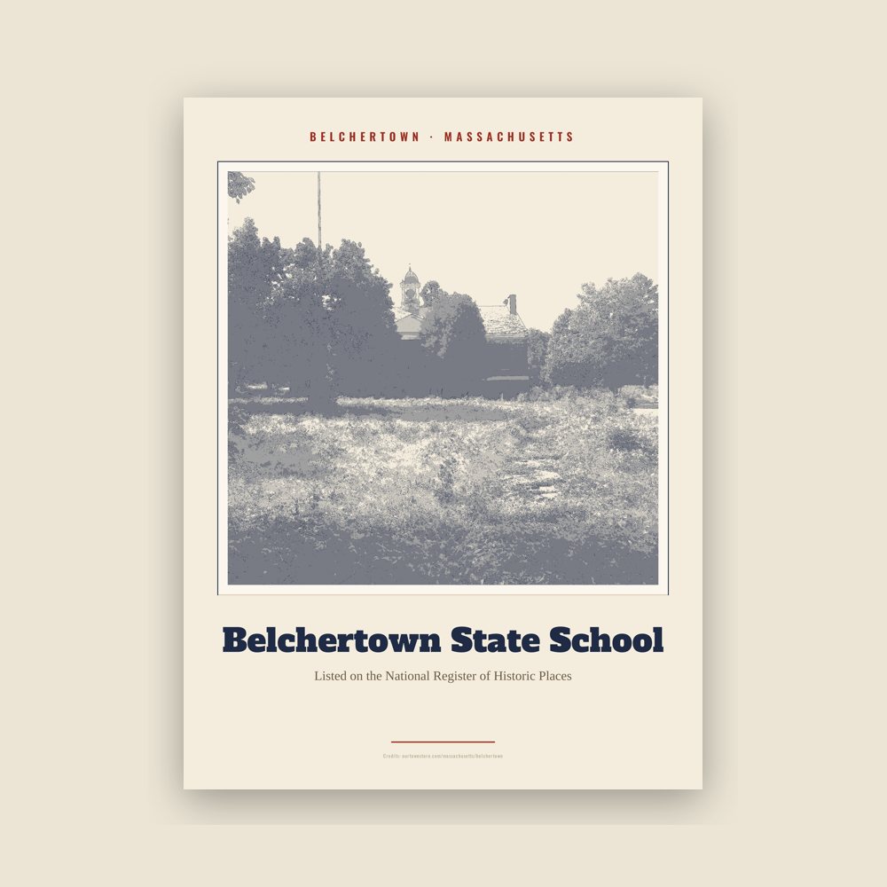
Archival matte print of a local landmark, credited to its photographer
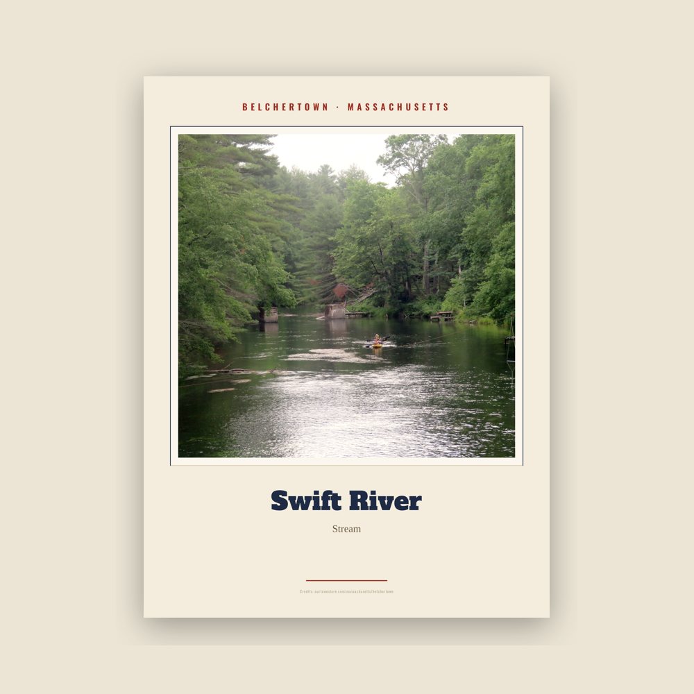
Archival matte print of a local landmark, credited to its photographer
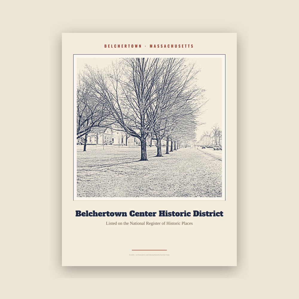
Archival matte print of a local landmark, credited to its photographer
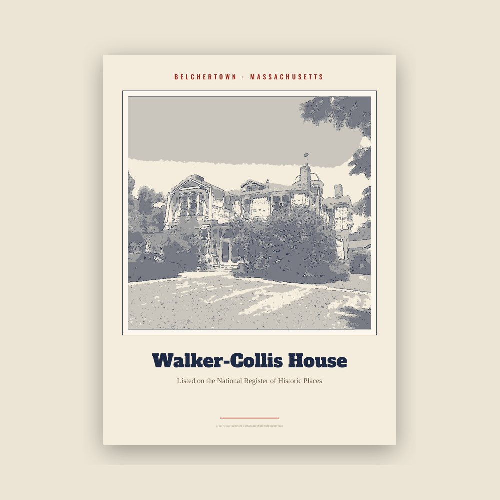
Archival matte print of a local landmark, credited to its photographer
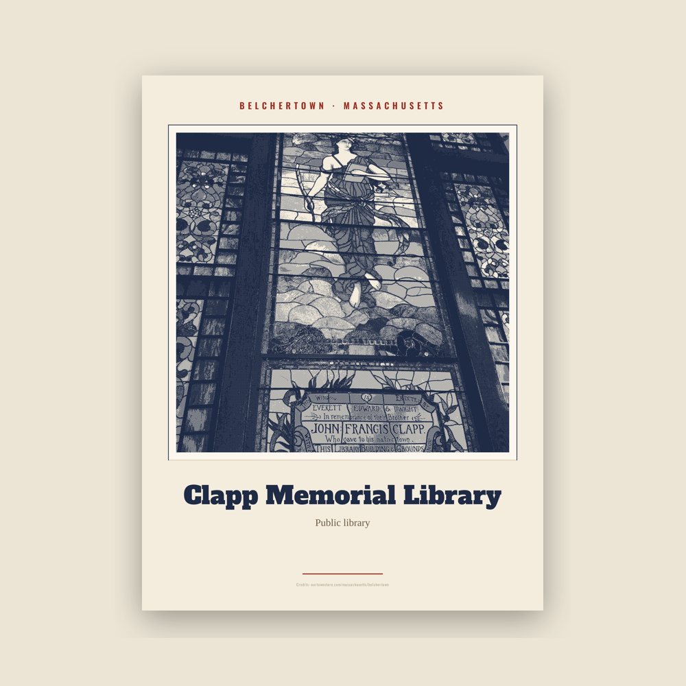
Archival matte print of a local landmark, credited to its photographer
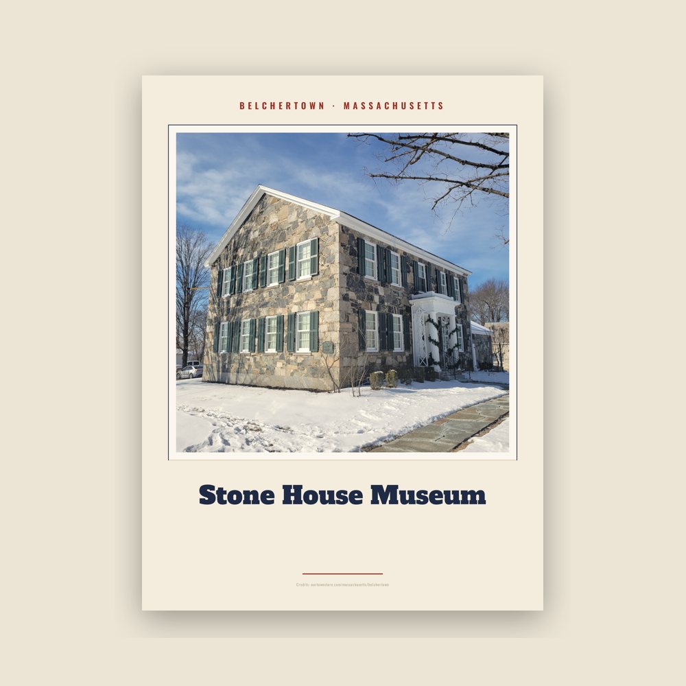
Archival matte print of a local landmark, credited to its photographer
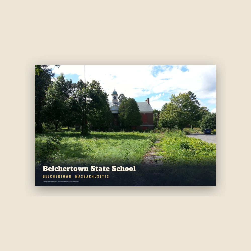
6″×4″ postcard, glossy front
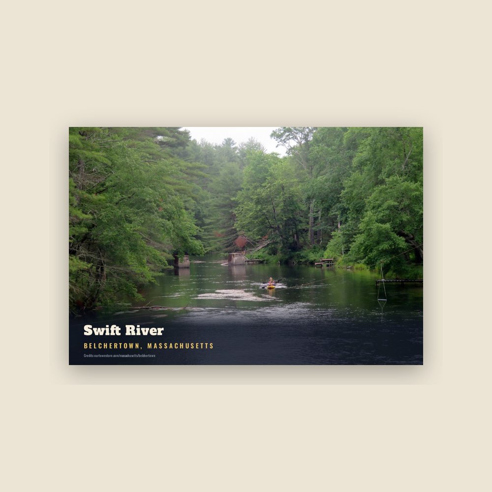
6″×4″ postcard, glossy front
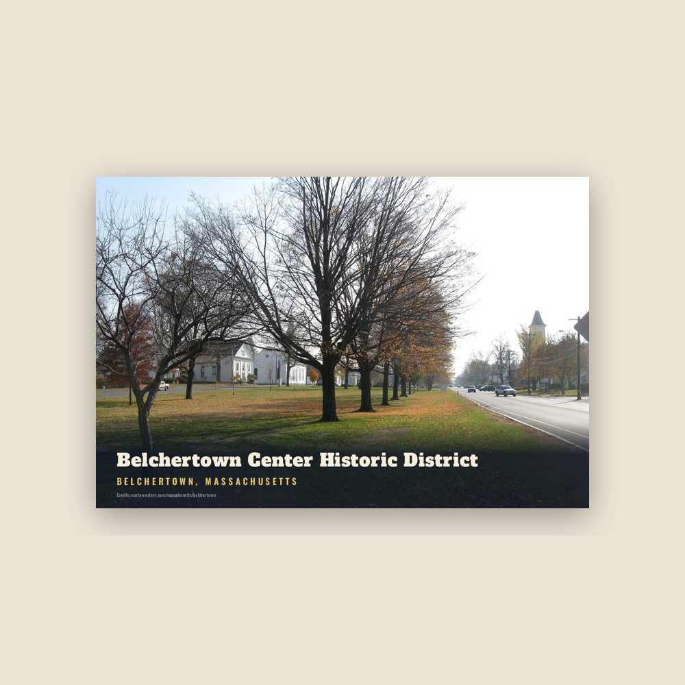
6″×4″ postcard, glossy front
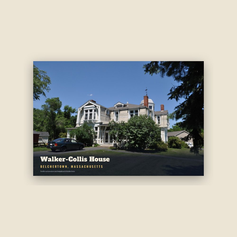
6″×4″ postcard, glossy front
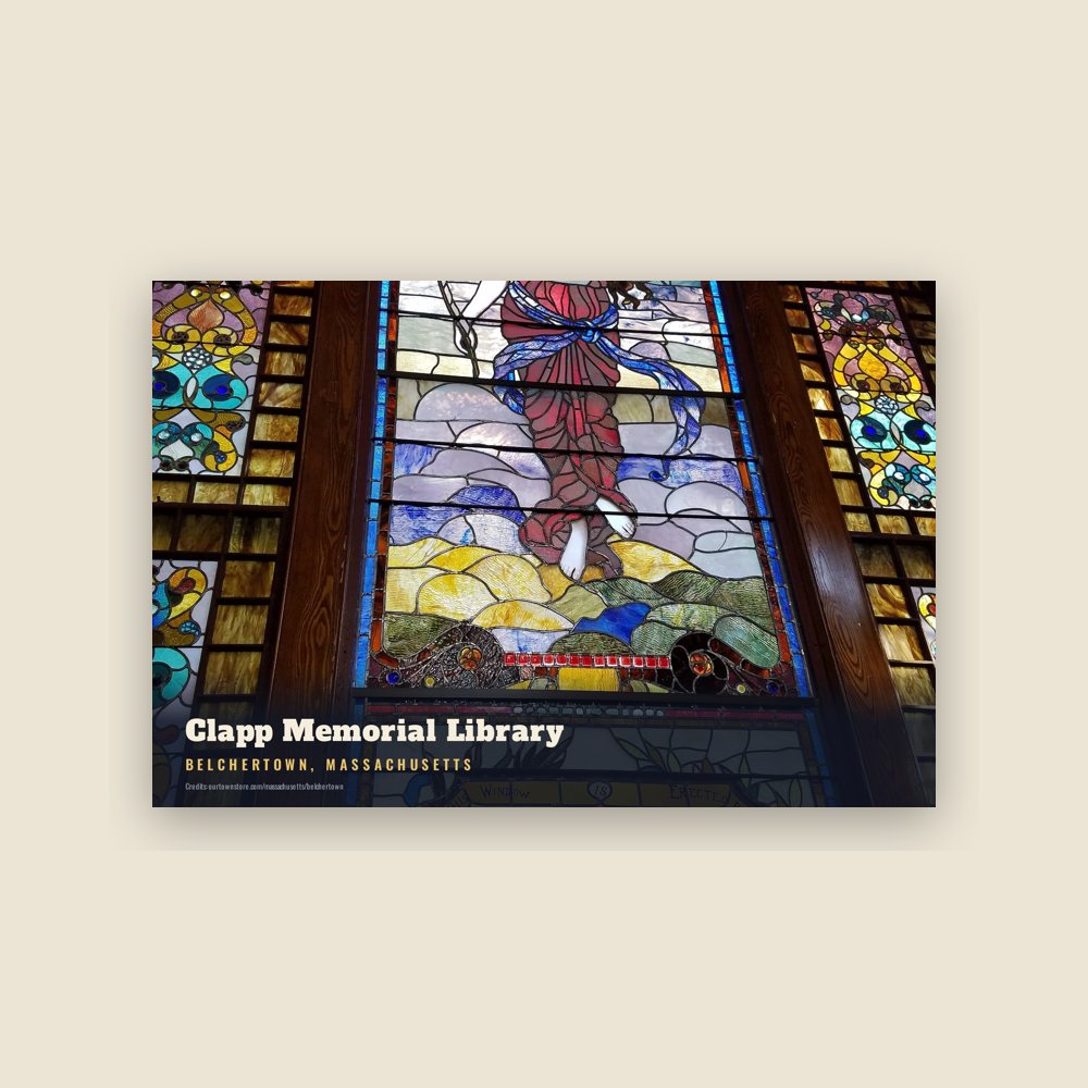
6″×4″ postcard, glossy front
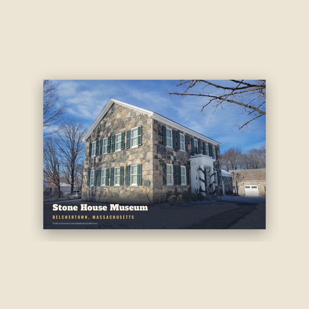
6″×4″ postcard, glossy front
Population 2010: 14,649 → 2020: 15,350
From Wikidata (CC0).
The area encompassing the Town is part of a crossroads of Native trails in the Connecticut River Valley of Western Massachusetts that indigenous people traveled including the Nipmuc and Norwottuck, or Nonotuck and Nolwotogg, among others. Artifacts found in the early 20th century just south of Dwight, near Lake Metacomet, suggest, "evidence of Native American occupations in Belchertown" that began some 7,000 years ago.
In 1658, land in present-day Belchertown (and other Towns) was negotiated between the Nonotuck Sachem named Chickwalloppe, other Sachems and John Pynchon, son of Springfield founder William Pynchon. In August 1662, land in present-day Belchertown (including South Hadley and Granby) was negotiated by Awonunsk, a Nonotuck, with her husband Wequagon and son Squomp, in a deed with Pynchon. "They reserved continued Native rights to freely hunt, fish, set up wigwams, harvest wood etc. on these lands."
Few interactions between people, both the indigenous and non-indigenous, were recorded within the modern-day boundaries though on July 29, 1704, Thomas Battis, of Brookfield, "coming to Hadley as a post, was killed in the present Belchertown," by Native Americans.
In 1716, the Equivalent Lands were sold by Connecticut Colony to residents who reside in present-day Connecticut and Massachusetts. Some of these lands were granted to Jonathan Belcher, the future Royal Governor of Massachusetts who served between 1730 and 1741.
The Equivalent Lands, from Hadley to Brookfield, became known as "Cold Spring township" before Amherst, Belchertown, Pelham, Prescott, Ware and parts of Enfield were incorporated as towns. There was "much buying and selling of the 'Equivalent Lands' at Cold Spring." In 1722, twelve men bought about 8,400 acres at Cold Spring, seven of the buyers were Northampton farmers. They paid "3 shillings per acre, in bills, or at about 25 cents in real value."
Five years later, in 1727, Connecticut sold its rights to the territory, now Belchertown, to seven persons residing in or near Boston, in six equal divisions, the fifth to Jonathan Belcher. During October and November 1727, Col. Timothy Dwight of Northampton surveyed and plotted the territory. His lines included 27,390 acres.That same year, the area was said to be settled by non-indigenous people, with several families recorded there by July 1731, and was known variously as "Cold Spring," "Cold Spring plantation" and "Cold Spring township." It was named for "a large fountain" that indigenous people used before it became a popular watering hole for non-indigenous travelers on the Hadley Trail section of the Old Bay Path.
For a number of years, there was no house between Hadley and Brookfield and a traveler, from Hatfield, named "Cowles" was said to have discovered the spring, and it was named "Cowles Spring," according to an early 20th century newspaper article (without primary sourcing). The earliest mention of "Cold Spring" found to date is denoted on a map accompanying a deed to Benjamin Stebbins dated 1719.
The actual spring "afforded a convenient place for refreshment to the traveler in his solitary journey through the wilderness," according to a history. "As the communication between the towns upon the river and the eastern section of the State grew more frequent the spring became a celebrated watering-place for travelers, and finally gave the first name to the township."
There were soon "twenty families with more expected soon." The first community church was organized in 1737 with the election of its first deacon, John Smith (1687–1777), who had arrived the previous year. Rev. Edward Billings was appointed the first minister in 1738, the year construction began on the Town's combined church and meeting house. Finances delayed its completion until 1746. Rev. Billings was dismissed by the Town in April 1752 for opposition to the half-way covenant. Rev. Justus Forward was the Town's second minister.
The first meeting for the Cold Spring precinct was held on April 28, 1740, and was authorized by the Massachusetts General Court to be called by Deacon Smith. This meeting was for police purposes, electing officers, and raising money to support the gospel and other prudential matters.
Over the following two decades, citizens sent several petitions to State officials to become incorporated. Finally, on June 23, 1761, the "plantation called Cold Spring" became "Belcher's Town," named after the then former governor of Massachusetts, merchant and landowner though he is said to have never "set foot" in the place. The name was later shortened to Belchertown.
The first town meeting was held September 30, 1761. It is interesting to note that two of the elected officials were a deer reeve and a hog reeve, the latter being required to round up stray hogs and care for them in the town pound. Deer reeves were expected to control the illegal killing of deer as these animals were then becoming scarce in this area. Early town meetings were also religious affairs. Laws were passed on attending and supporting the church and observing the Sabbath.
There are about 10 cemeteries in Belchertown. The South Cemetery, on Mill Valley Road south of the Common, was established 1742. A cemetery to the northwest, referred to Pond Hill Cemetery, now as Lake Vale Cemetery, was established in 1755 though some unmarked graves date to 1730. The Town purchased the cemetery, then two acres, in 1766.
The Town's historic villages include Dwight's Station (Dwight), Bardwell Village (also called Skeetersville and Tylerville), Barrett's Junction and Slab City.
The actual "Cold Spring" is still active and located in south-central Belchertown, on the north side of Cold Spring Road, to the west of Sabin Street on lands owned by the University of Massachusetts.
There was an extension from a 1673 road from Boston known as the Old Bay Path, that, at West Brookfield, ran west and was called the "Hadley Trail" or "Hadley Path" that dated to "soon after 1660." This ran through Ware, Belchertown, Hadley, Northampton, and eventually to points west toward Albany, New York. The Path roughly followed routes that were begun and used by Native Americans for centuries. Another road, known also as the Old Bay Path or Pynchon's Path, split off in West Brookfield and headed south towards Springfield.
The Hadley Trail, later simply called the Old Bay Path or the County Road, at one time entered southeastern Belchertown and traversed the Town to the northeast, exiting just south of the Pond Hill or Lakes region. From the Town of Ware, the Trail crossed the Swift River and roughly followed today's Cold Spring Road to today's Mill Valley Road (Route 181) by the South Cemetery, and up through the Common and out Federal Street (Route 9), into South Amherst and Hadley. It was purported for a time to run north on Sabin Street then west across Cordner Street or west across Aldrich Street to meet Mill Valley Road.
Part of the colonial post road system for mail delivery, three extant markers were placed in Belchertown by 1765, according to one researcher.
J. G. Holland, the author born at Dwight (North Belchertown), in his first novel, which was about life along the Path. "No stream was bridged, no hill was graded, and no marsh drained. The path led through woods which bore the marks of the centuries, over barren hills that had been licked by the Indian's hounds of fire, and along the banks of streams that the seine had never dragged. . . ."
"A powerful interest was attached to the Bay Path. It was the channel through which laws were communicated, through which flowed news from distant friends, and through which came long, loving letters and messages. . . . That rough thread of soil, chopped by the blades of a hundred streams, was a bond that radiated at each terminus into a thousand fibres of love and interest, and hope and memory. Every rod had been prayed over, by friends on the journey and friends at home."
Today's Bay Road follows the approximate route of the Hadley Trail for about 11 miles, from central Belchertown into west Hadley.
Benjamin Stebbins, Sr. (1687-1769), of Northampton, is listed as a "nonresident proprietor," on a deed of 300 acres in Belchertown in 1719, with the "Cold Spring" in the southwest corner, according to a survey made by Timothy Dwight. He had married Mary Ashley in 1709 in Northampton. Some sources place the first date of settlement in July 1731, but 1727 is the year that the Stebbins are said to have built a homestead along today's Stebbins Street, just south of Bay Road, or the Pond Hill/Lakes region. The property was at the "southern foot of the eastern spur" of the Holyoke Range. According to the family genealogy, Stebbins received from Jonathan Belcher five hundred acres of land in 1727, "as an inducement … to settle [Belchertown]" and was "said to have been the first … to make a permanent residence" though it was likely his son Benjamin Stebbins, Jr. (1711–1789) who first settled here; he married Rebecca Day (1713-1769) on September 26, 1733. They both died and were buried in Belchertown.
An elder cousin settled nearby: Samuel Stebbins (1758-1732), a widower who had served variously as constable, treasurer and "Tythingman." He died on September 3, 1732, and was said to be among the first burials at Lake Vale Cemetery, overlooking Lake Metacomet. Samuel had been the subject of a scandalous divorce, worth mentioning here, involving several children fathered with a woman other than his wife in the late 17th century and crimes including "selling strong drink."
The homestead on Stebbins Street, a Dutch colonial gambrel built in 1768 by Gideon Stebbins, son of Benjamin and Rebecca, burned to the ground in 1966.
In 1728, Deacon Aaron Lyman (1705-1780) came from Northampton and was said to have been licensed to operate a tavern to the south of the Belchertown Common, near the Cold Spring, the naturally occurring spring for horses previously mentioned, which was frequented by indigenous peoples. Five years later, Lyman would marry Eunice Dwight (1710-1760), whose cousins, Timothy Dwight (1694-1771) and brother Nathaniel Dwight (1712-1784), both surveyors, were among the founders of the Town. Lyman's sister Hannah (1708-1792) married Nathaniel Dwight. Lyman was elected deacon in 1737.
Ebenezer Bridgman (1686-1769) and Mary Parsons (1680-1770) came from Northampton in 1732 to Pond Hill. Their great-grandson was Elijah Coleman Bridgman, first missionary to China, who was born in the Joseph Bridgman (1712-1773) home, a Dutch colonial gambrel dating ca. 1750-1770 (It remains at 393 Bay Road). Sam Bascom (1692-1765) and Mary's sister Experience Parsons (1692-1749) established a tavern and inn nearby, along the Bay Road, for travelers between Brookfield and Northampton—those "after candle-wood, or for the purpose of boxing pine trees for turpentine, for hunting purposes, or to attend the large herds grazing there."
John Smith (1687-1777), elected one of the first deacons at Belchertown, and Elizabeth Hovey (1686-1758) moved slightly west of the Bridgmans (84 Old Bay Road) about 1736 or before, as the home, still standing, is dated to 1728 by the Town. Smith was authorized by the Massachusetts General Court to call the first legislative meeting of Cold Spring (Belchertown) settlers. Clergyman Ethan Smith was born here, the grandson of John and Elizabeth. At about the same time, several other families, including the aforementioned Dwights, settled in the area or owned land near the Belchertown Common.
The Dwights were considered so-called "river gods," a term scholars use to describe "a network of interrelated gentry families connected by birth and marriage, earned a deified moniker during their mortal lives because they monopolized religion, defense, law, politics, and culture in Connecticut River Valley society." The other previously mentioned first families of Belchertown could be considered de facto members of this group.
Aaron Hannum, son of William Hannum (1690-1755) and Mary Hutchinson (1699-1785) who settled to Belchertown in 1732, and Rachel Smith, daughter of the aforementioned John Smith and Elizabeth Hovey, built a house at Pond Hill in about 1750 (90 Bay Road); his cousin Phineas Hannum and partner Mary Williams built one just south of the center of Dwight (715 Federal Street), in about 1770.
By the 1790 census, there was one free Black household, and three other Black residents living in white households in Belchertown. The Black population in Belchertown was relatively small between 1790 and 1870 with 24 or less.
In February 2025, the Belchertown Memorial Committee approved adding the name of John Freeman on the Town Revolutionary War plaque on the Common. Freeman was an African American who served in the Revolutionary War and lived in Belchertown (near the Pond Hill region) as did generations of his descendants.
The Belchertown State School for mentally disabled residents was located in the town for over 70 years, from 1922 until its closing in 1994 amid revelations of poor conditions and inhumane treatment of its residents. The property has since been under consideration for redevelopment housing, business and agricultural use.
Adapted (trimmed) from the Wikipedia article Belchertown, Massachusetts, revision 1374369090 by its contributors, licensed CC BY-SA 4.0.
We share a part of every Belchertown sale with local partners, and we'd love to print from your collection. Old photographs, maps and postcards make the best keepsakes.
Partner with us