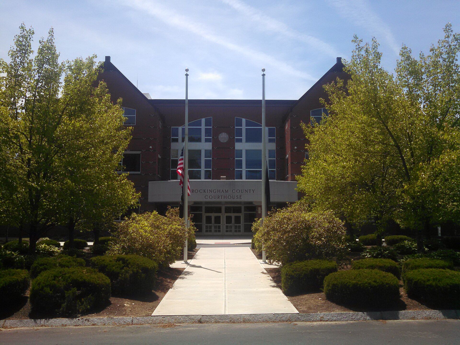
An Abenaki tribe called the Pennacook farmed, fished and hunted in what is now Brentwood. Landmarks include Rockingham County, New England Dragway and Rockingham County Botanical Garden. Brentwood is the birthplace of Francis Ormand Jonathan Smith, politician.
Every piece is drawn from Brentwood's own map data and historic archives, then printed and shipped from the USA when you order. No two towns look alike.
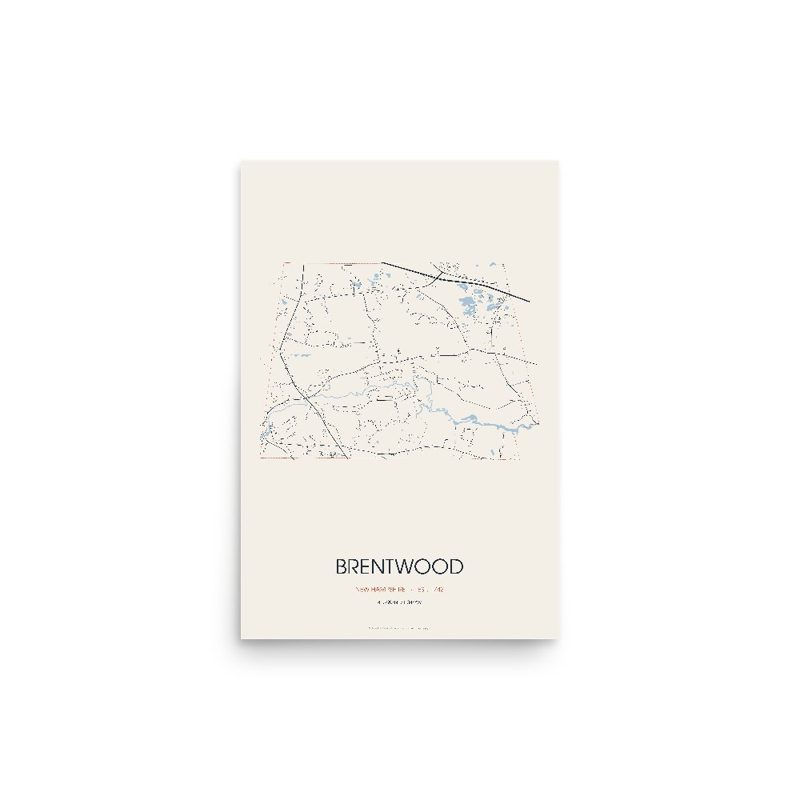
Every road in town, on archival matte paper
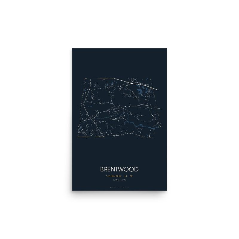
The same map, in navy and silver
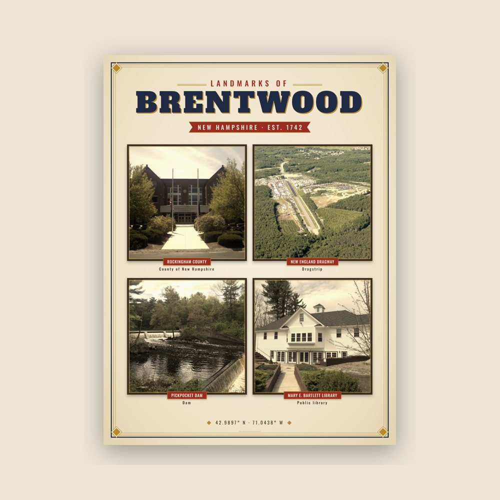
Nine local landmarks, archival matte
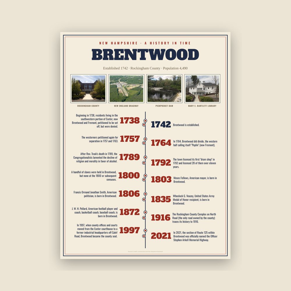
The town's story in dates, from its own records, for home or classroom
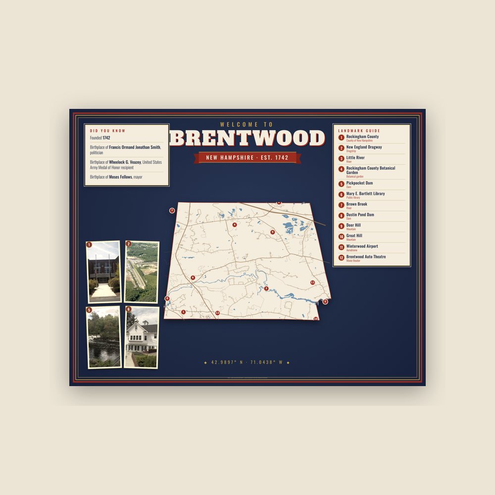
Map of local landmarks, washable fabric
Heavy-blend fleece, street map printed on the back
Soft Bella+Canvas jersey
Glossy ceramic, dishwasher safe
Ceramic keepsake, gold ribbon
Weatherproof, for the front walk
24″×16″, printed coir-look fibers, rubber back
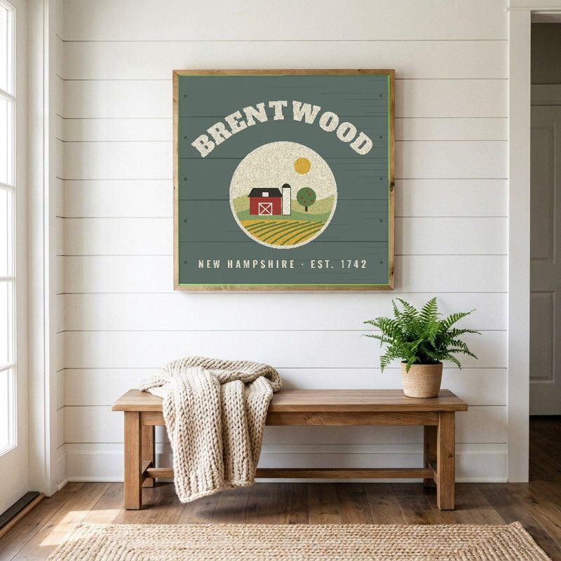
12″×12″ printed wood, ready to hang
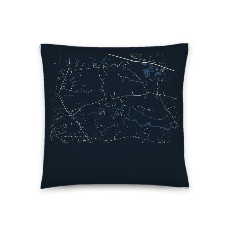
Soft-touch, zip cover
Sturdy all-over-print tote
Glossy top, cork back
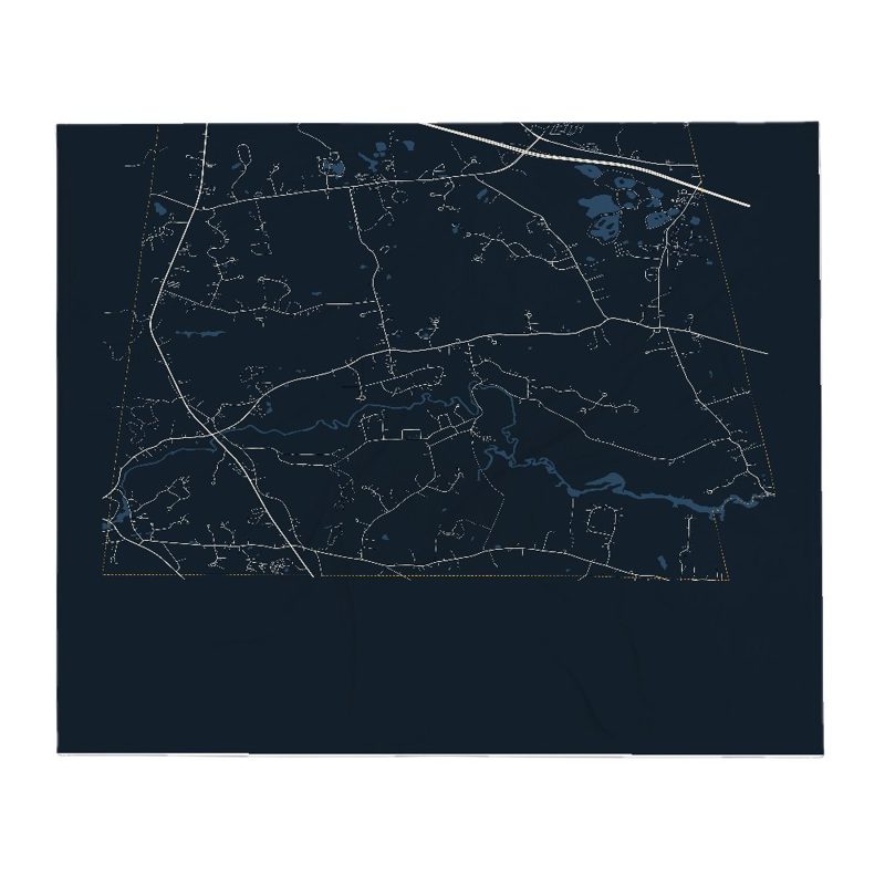
Soft fleece, 50″×60″
20 oz, double-wall stainless
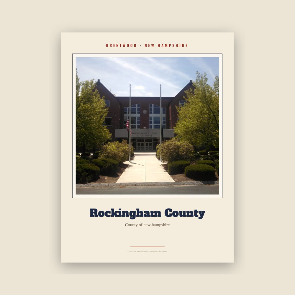
Archival matte print of a local landmark, credited to its photographer
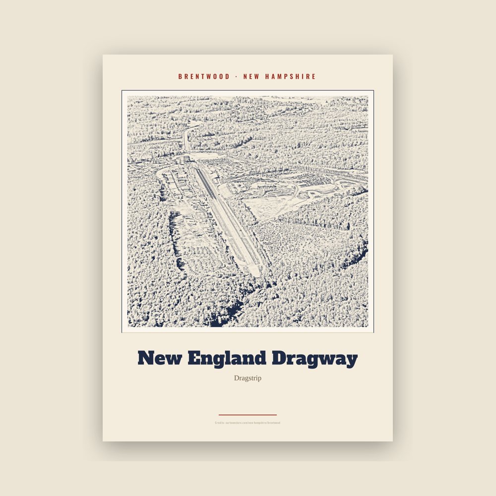
Archival matte print of a local landmark, credited to its photographer

Archival matte print of a local landmark, credited to its photographer
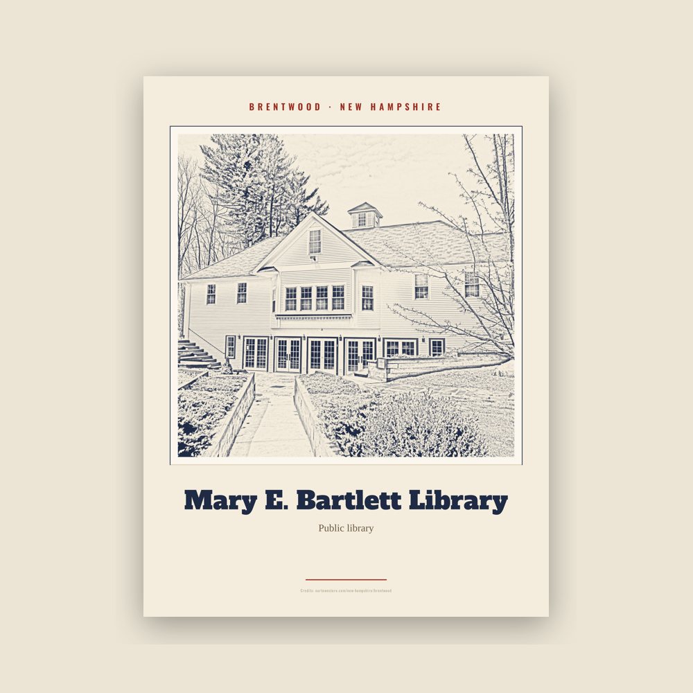
Archival matte print of a local landmark, credited to its photographer
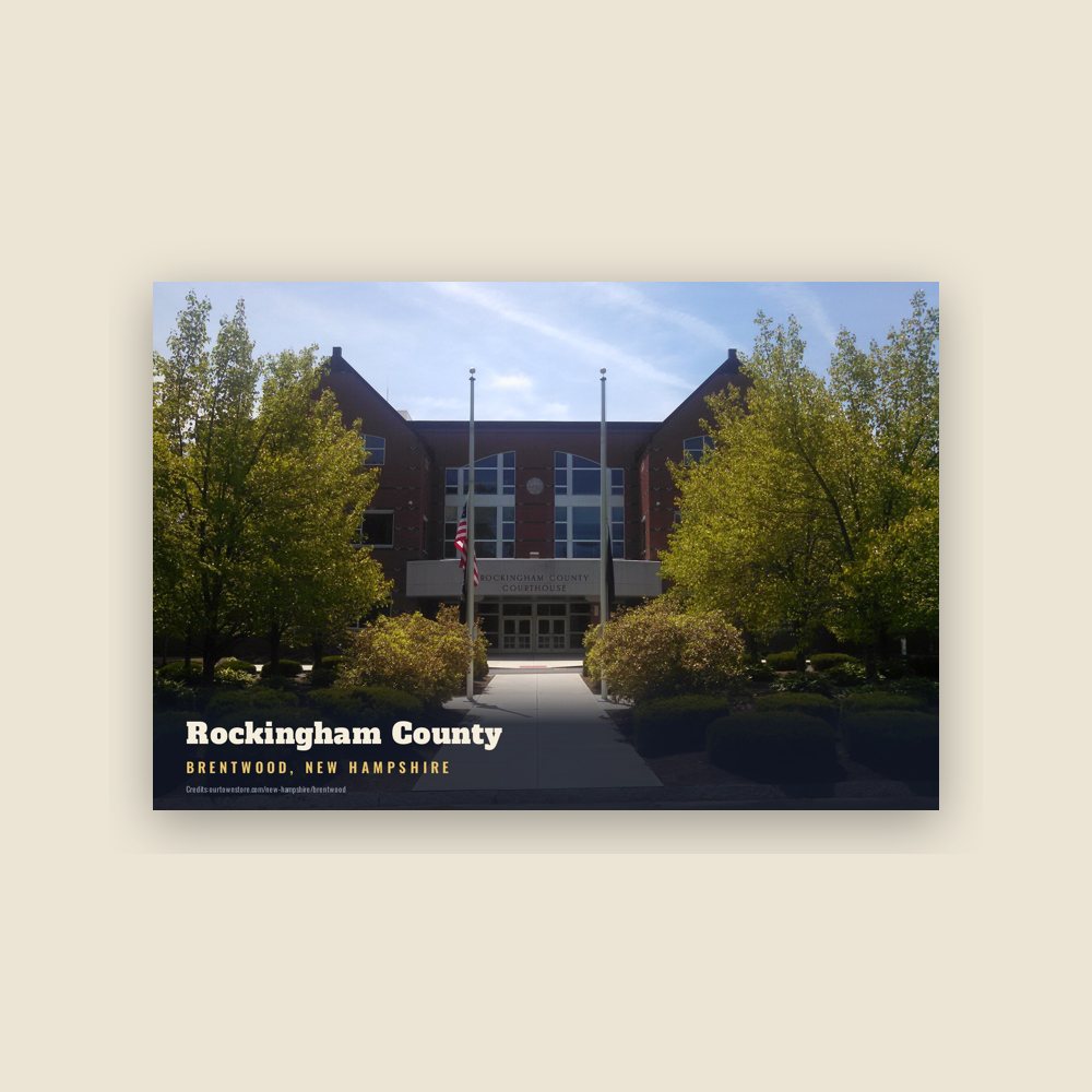
6″×4″ postcard, glossy front
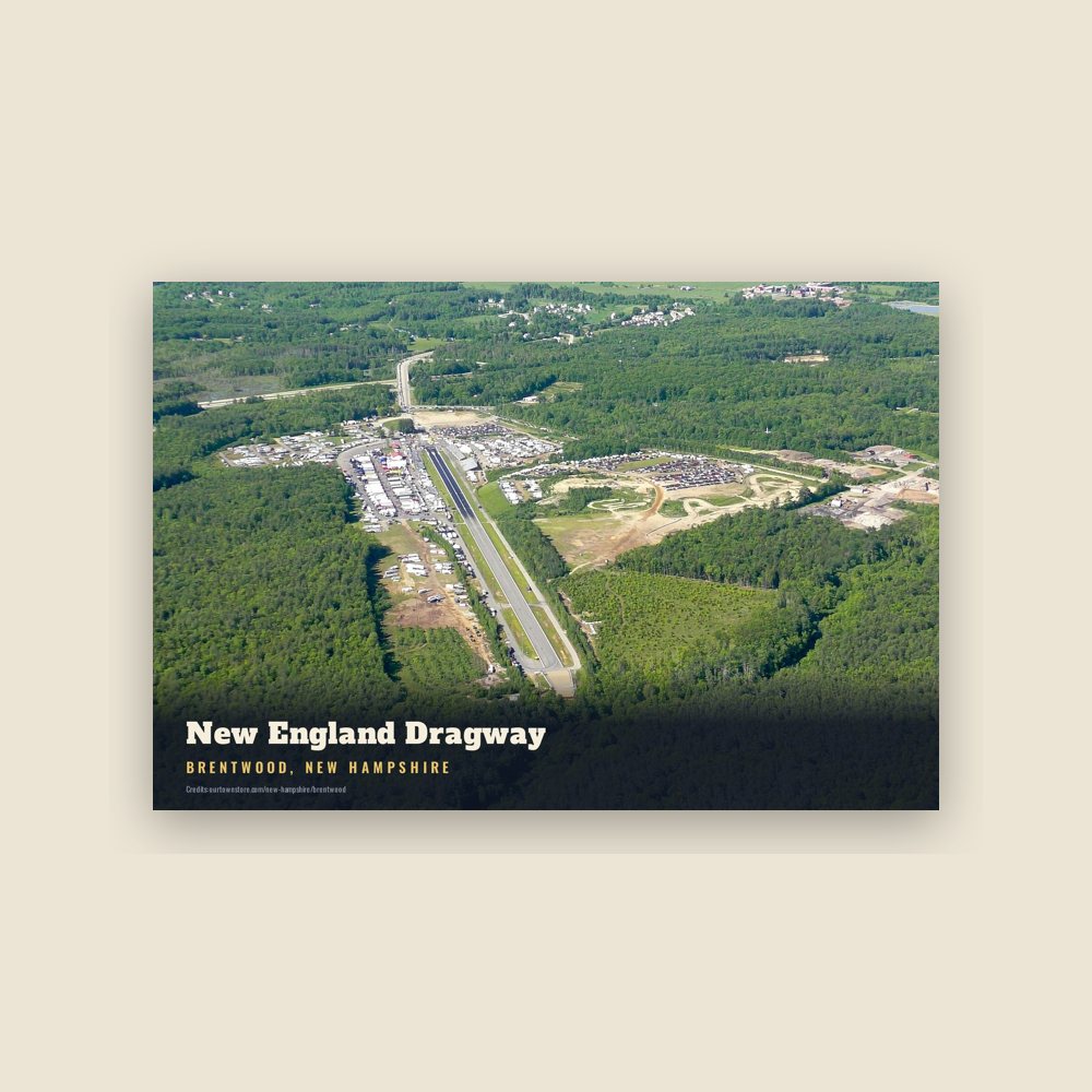
6″×4″ postcard, glossy front
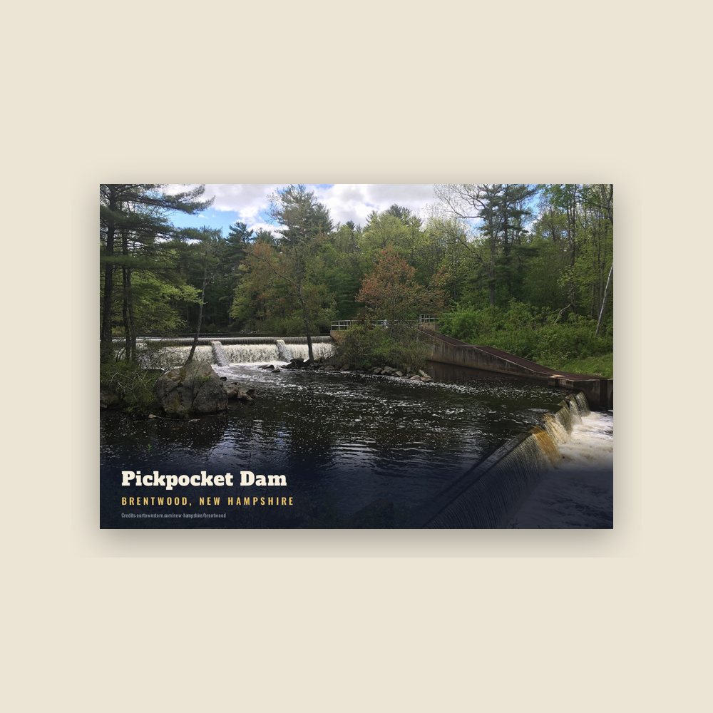
6″×4″ postcard, glossy front
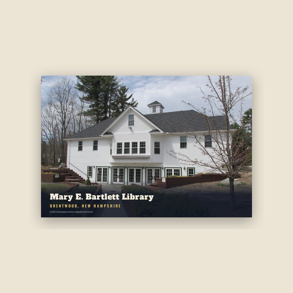
6″×4″ postcard, glossy front
Population 2010: 4,486 → 2019: 4,518 → 2020: 4,490
From Wikidata (CC0).
An Abenaki tribe called the Pennacook farmed, fished and hunted in what is now Brentwood. Two main foot trails ran through the town, one along the Exeter River, where arrowheads and other stone and wooden artifacts have been found. At Pickpocket Dam, this pathway joined with the Pentucket Trail leading south to Pentucket (now Haverhill, Massachusetts) and north further into Pennacook territory.
The town was once a part of Exeter known as Brentwood (or Brintwood) Parish. It was named after Brentwood, Essex, originally called "Burnt Wood", where, in 1177, King Henry II granted permission for 40 acres (160,000 m2) of the king's forest to be cut, burned and cultivated.
Beginning in 1738, residents living in the southwestern portion of Exeter, now Brentwood and Fremont, petitioned to be set off, but were denied. They cited difficulty of getting to the Exeter church/meetinghouse, where weekly attendance was obligatory, and the requirement to pay Exeter taxes. Eighteen people wrote in dissent, saying that even the proposed new town would require travel more than two miles to a new meetinghouse. On June 26, 1742, colonial governor Benning Wentworth set Brentwood off from Exeter and incorporated it.
The meetinghouse was planned at "the west side of the 'Gully'", but those living south of the Exeter River said it was hard to reach in spring and fall. For a while, church was held at two venues, north and south of the river.
Residents petitioned for a dividing line between the midpoints of the northern and southern boundaries. In 1744, Gov. Wentworth issued a King's Patent to establish a new town called "Keeneborough Parish", named after his friend, Sir Benjamin Keene (1697–1757), English minister to Spain. Brentwood continued to tax the residents of Keeneborough; one resident was imprisoned for failing to pay, and the General Assembly called Wentworth's action a "usurpation." Minister Nathaniel Trask reconciled the factions and Keeneborough reunited with Brentwood in 1750. The westerners petitioned again for separation in 1757 and 1763. In 1764, Brentwood did divide, the western half calling itself "Poplin" (now Fremont).
After Rev. Trask's death in 1789, the Congregationalists lamented the decline of religion and morality in favor of alcohol. The town licensed its first "dram shop" in 1792 and licensed 28 of them over eleven years. A handful of slaves were held in Brentwood, but none at the 1800 or subsequent censuses.
Mills along the rivers produced lumber and manufactured goods in the early days. The economy later shifted towards agriculture. The town is now predominantly residential.
The Rockingham County Complex on North Road (the only road owned by the county) traces its history to 1916. It was called the "poor farm" or the "county farm", but the only current farming is hay. It has administrative offices, a nursing home, and the county jail. In 1997, when county offices and courts moved from the Exeter courthouse to a former industrial headquarters off Calef Road, Brentwood became the county seat.
Retail development is focused along Calef Road, though home businesses exist elsewhere for historical reasons. There is an industrial zone in the northeast, along Pine Road, which spans Brentwood and Exeter. In 2012, Exeter, resenting the wear on its part of the road from heavy vehicles from the businesses in Brentwood, posted a weight limit on its part, which led to lengthy detours and a lawsuit and counter-suit. These were settled in 2014, as the judge ruled that Exeter's posting was illegal. Brentwood had to reimburse Exeter, but only the amounts for upgrading Pine Road to handle the heavy vehicles.
The 2014 fatal shooting of police officer Stephen Arkell, who arrived at a condominium to investigate a domestic disturbance, led to many memorials and continuing events in his name, such as an annual 5K run. In 2021, the section of Route 125 within Brentwood was officially named the Officer Stephen Arkell Memorial Highway.
Adapted (trimmed) from the Wikipedia article Brentwood, New Hampshire, revision 1377125714 by its contributors, licensed CC BY-SA 4.0.
We share a part of every Brentwood sale with local partners, and we'd love to print from your collection. Old photographs, maps and postcards make the best keepsakes.
Partner with us