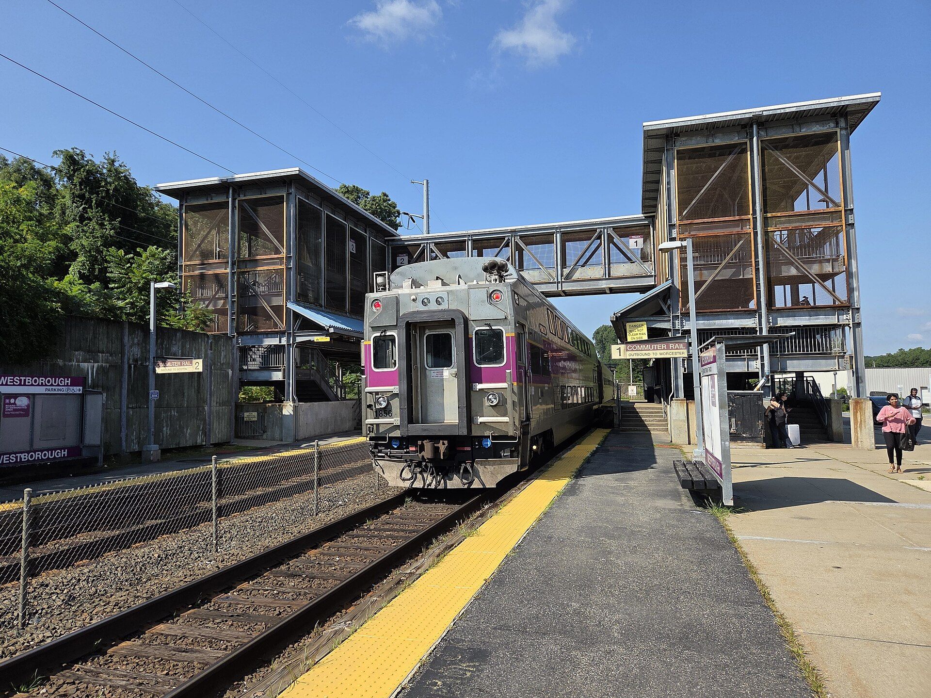
Before recorded time, the area now known as Westborough was a well-travelled crossroads. Landmarks include Westborough station, Lyman School for Boys and Westborough State Hospital. Westborough is the birthplace of Eli Whitney, inventor.
Every piece is drawn from Westborough's own map data and historic archives, then printed and shipped from the USA when you order. No two towns look alike.
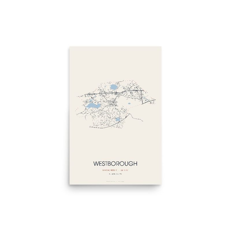
Every road in town, on archival matte paper
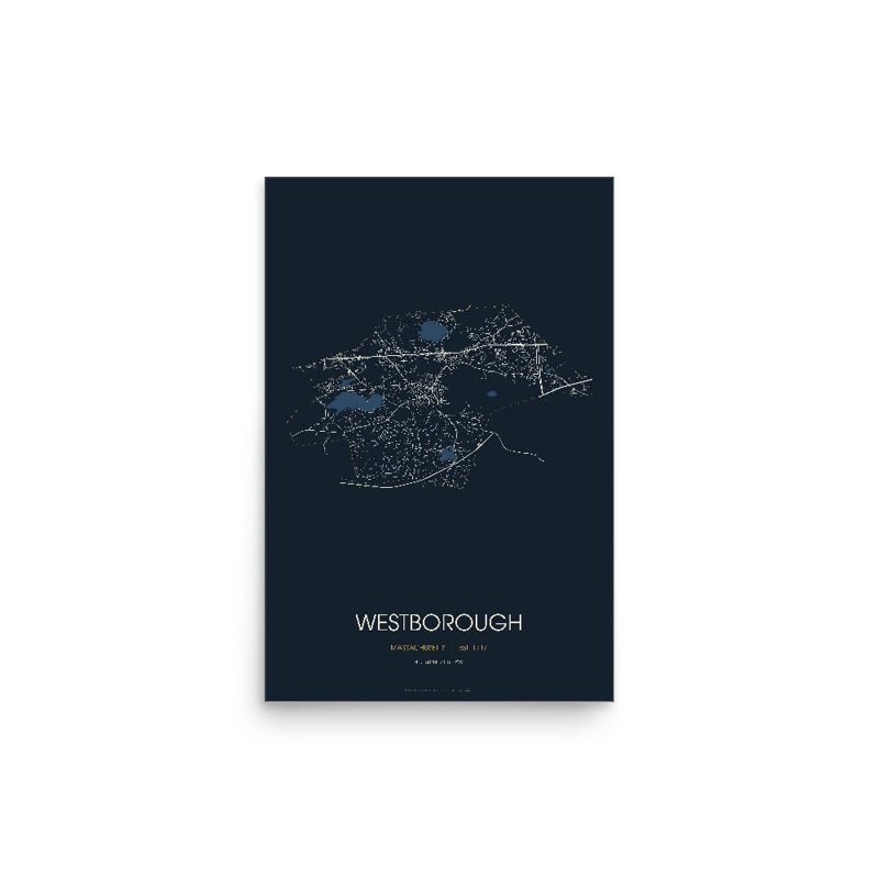
The same map, in navy and silver
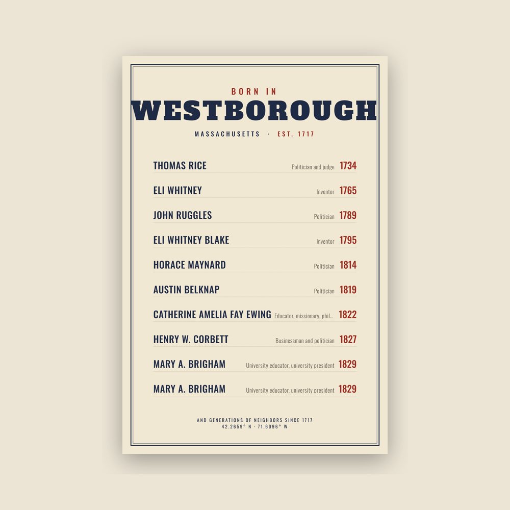
Famous natives, by birth year
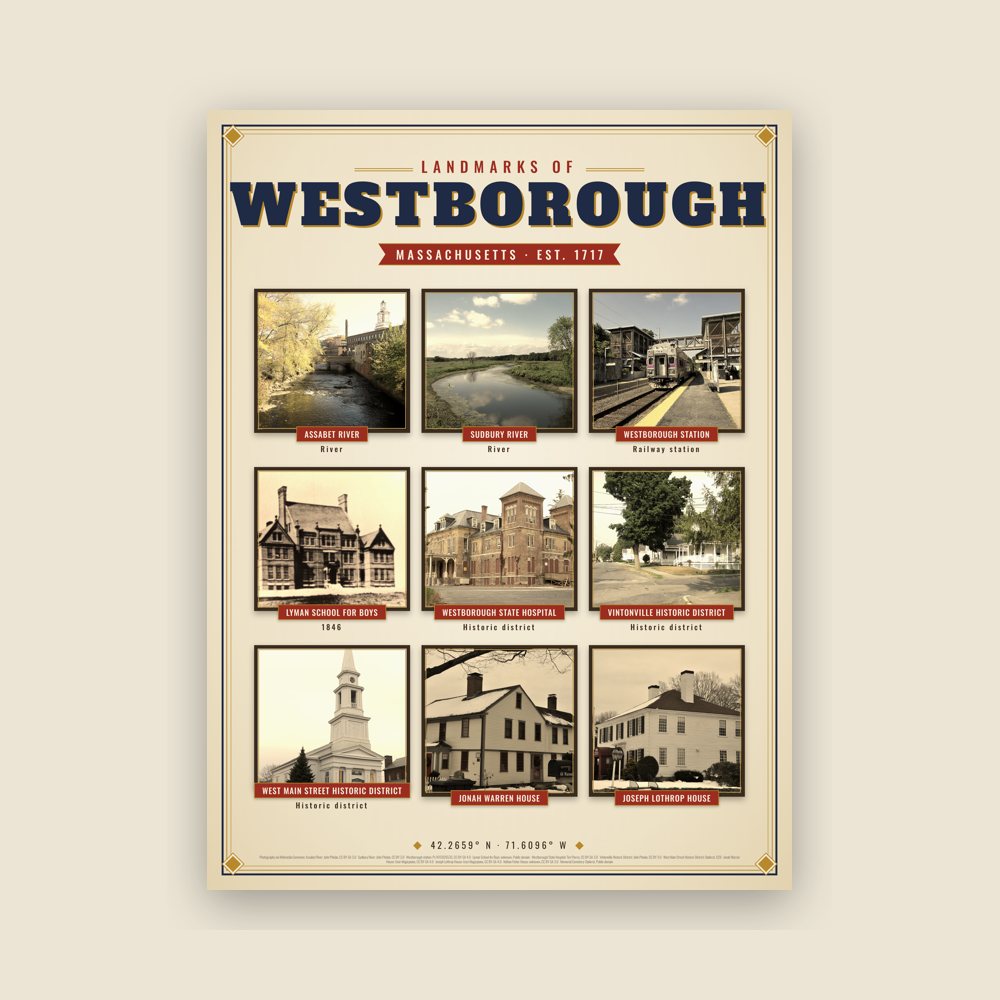
Nine local landmarks, archival matte
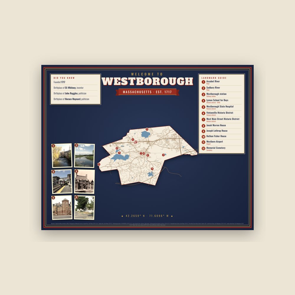
Map of local landmarks, washable fabric
Heavy-blend fleece, street map printed on the back
Soft Bella+Canvas jersey
Glossy ceramic, dishwasher safe
Ceramic keepsake, gold ribbon
Weatherproof, for the front walk
24″×16″, printed coir-look fibers, rubber back
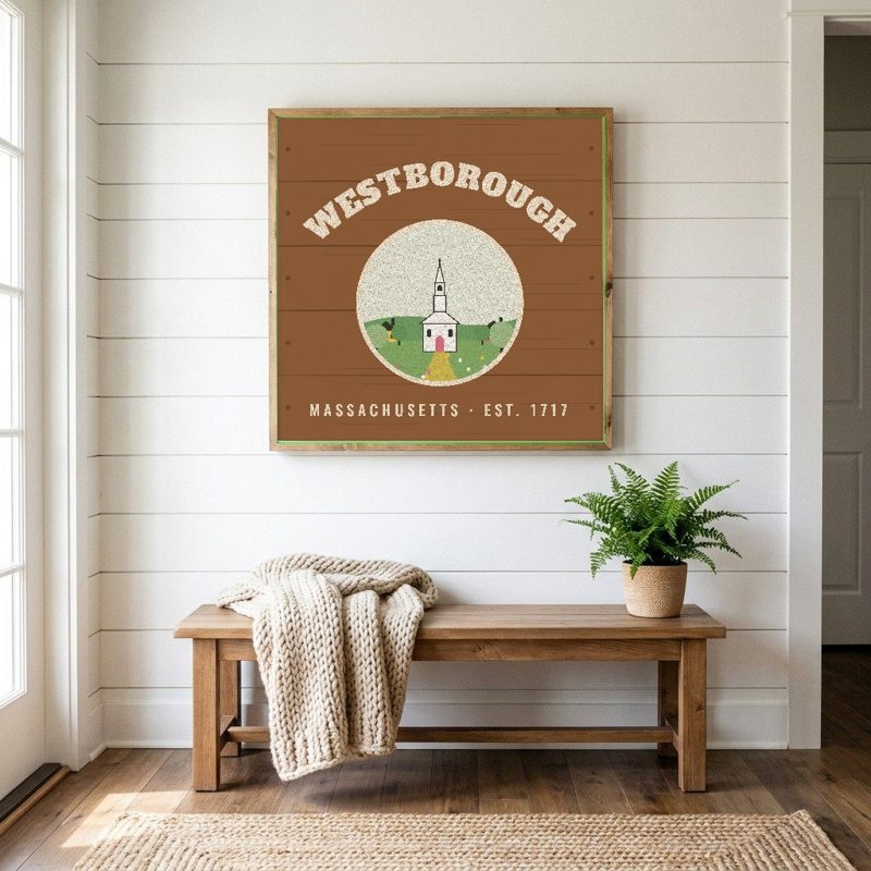
12″×12″ printed wood, ready to hang
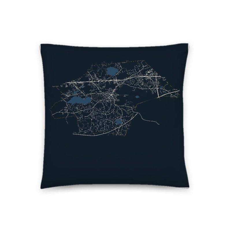
Soft-touch, zip cover
Sturdy all-over-print tote
Glossy top, cork back
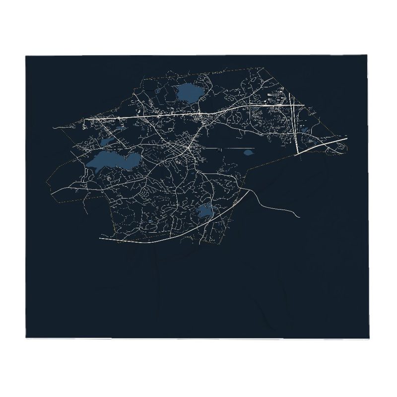
Soft fleece, 50″×60″
20 oz, double-wall stainless
Population 2010: 18,272 → 2020: 21,567
From Wikidata (CC0).
Before recorded time, the area now known as Westborough was a well-travelled crossroads. As early as 7,000 BCE, prehistoric people in dugout canoes followed the Sudbury and Assabet Rivers to their headwaters in search of quartzite for tools and weapons.
From 1200 to 1600 CE, seasonal migrations brought Nipmuc Indians to hunt and fish near Cedar Swamp and Lake Hoccomocco. Using Fay Mountain as a landmark, Indians crisscrossed Westborough on well-worn paths: the old Connecticut Path leading west from Massachusetts Bay; the Narragansett Trail leading south, and the trail (along the present Milk Street) leading to Canada.
The early English explorer John Oldham followed these trails through Westborough in 1633, and settlers in search of fertile farmlands followed not long after. By late 1675, a few families had settled near Lake Chauncy, in the "west borough" of Marlborough.
On November 18, 1717, Westborough was incorporated as the hundredth town in Massachusetts, populated by twenty-seven families, including Thomas Rice who had represented Marlborough in the Great and General Court. Soon large farms were carved out, mills built along the Assabet River and Jackstraw Brook, and taverns flourished. Westborough's first minister, Reverend Ebenezer Parkman, shepherded the growing town of colonists through the years toward independence from Great Britain. Forty-six minutemen from Westborough fought under Captain Edmund Brigham in the Revolutionary War.
In 1775, Northborough split off as the "north borough" of Westborough, much as Westborough split off from Marlborough some 58 years before. However, the two towns shared a meetinghouse for some time more.
Westborough's most famous native son, Eli Whitney, contributed to the industrial progress of the country. Born in 1765, he invented the cotton gin in 1795 after graduating from Yale. In 1798, he introduced mass production to the United States at his Whitney Arms Company in New Haven, Connecticut.
In 1810, the route from Boston to Worcester was straightened and improved into an official turnpike (the present Route 9), and along its Westborough route, the Wesson Tavern Common, Forbush Tavern and Nathan Fisher's store prospered. The center of commerce shifted downtown in 1824 with the arrival of the steam train through Westborough's center. The railroad brought a new era to the town industry: over the next century, local factories shipped boots and shoes, straw hats, sleighs, textiles, bicycles, and eventually abrasive products, across the nation. Westborough dairies supplied cities with milk and local greenhouses shipped out carnations, while the eight orchards found ready markets for their produce.
In 1848, the State Reform School for Boys, the first publicly funded reform school in the United States, was opened on Lake Chauncy. It operated as a State reform school until 1884 at which time the newly established Westborough State Hospital took over the property. In the same year, the reform school was relocated nearby on Chauncy Street and renamed The Lyman School for Boys.
The town's official name was originally "Westborough" but was changed to "Westboro" in 1894, then reverted to "Westborough" in 1971. While "Westborough" is the official spelling, the Massachusetts Department of Transportation and some individuals and entities use the shorter "Westboro" for clarity and brevity.
Vintonville Historic District: Roughly bounded by Cottage, Green, Pine, Brigham, Beach Streets, and rear of properties along the east side of South Street (added August 23, 2006)
Westborough State Hospital: Along Lyman St. North of Chauncy Lake and junction of Milk St. and MA 9 (added February 21, 1994)
Adapted (trimmed) from the Wikipedia article Westborough, Massachusetts, revision 1373302289 by its contributors, licensed CC BY-SA 4.0.
We share a part of every Westborough sale with local partners, and we'd love to print from your collection. Old photographs, maps and postcards make the best keepsakes.
Partner with us