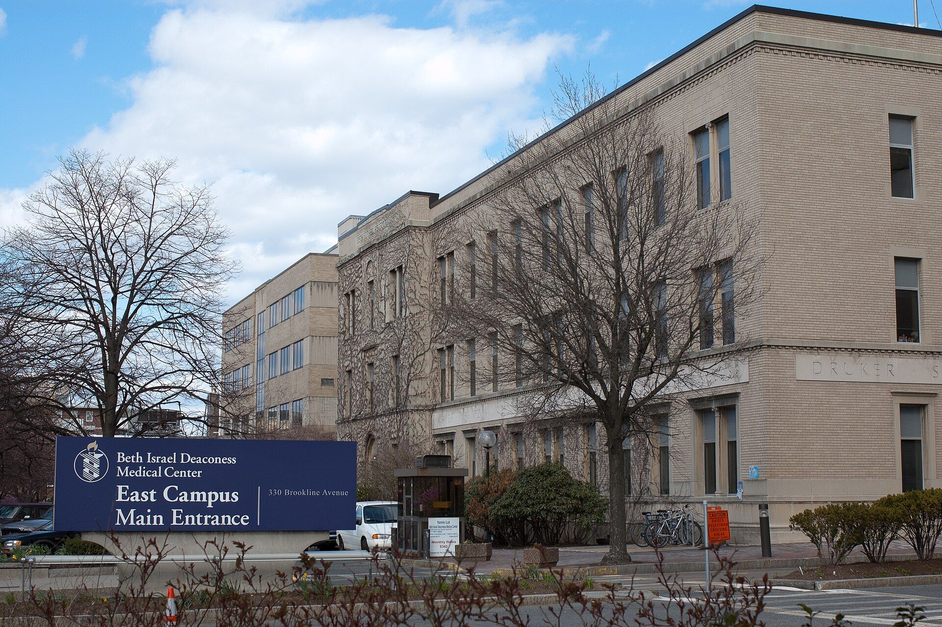
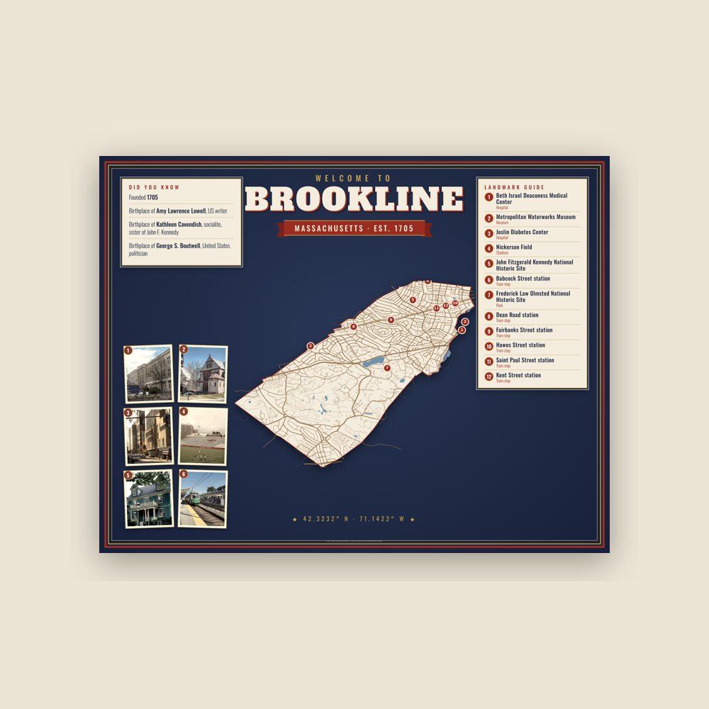
An exclave of Norfolk County, Brookline borders six of the City of Boston's neighborhoods: Brighton, Allston, Fenway–Kenmore, Mission Hill, Jamaica Plain, and West Roxbury. Landmarks include Beth Israel Deaconess Medical Center, Metropolitan Waterworks Museum and Joslin Diabetes Center. Brookline is the birthplace of Robert F. Kennedy, politician and lawyer.
Every piece is drawn from Brookline's own map data and historic archives, then printed and shipped from the USA when you order. No two towns look alike.
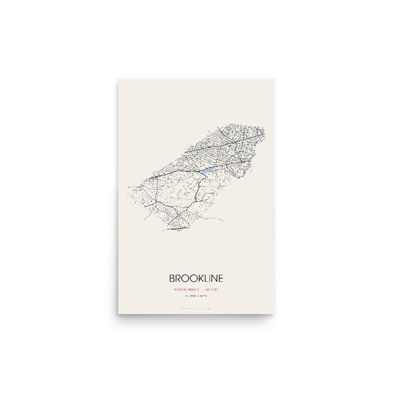
Every road in town, on archival matte paper
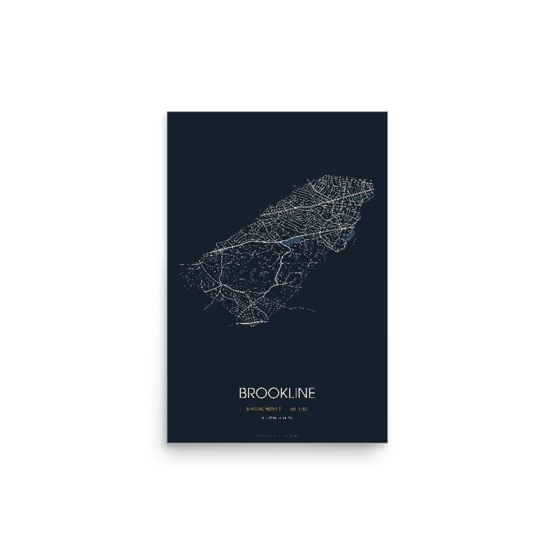
The same map, in navy and silver
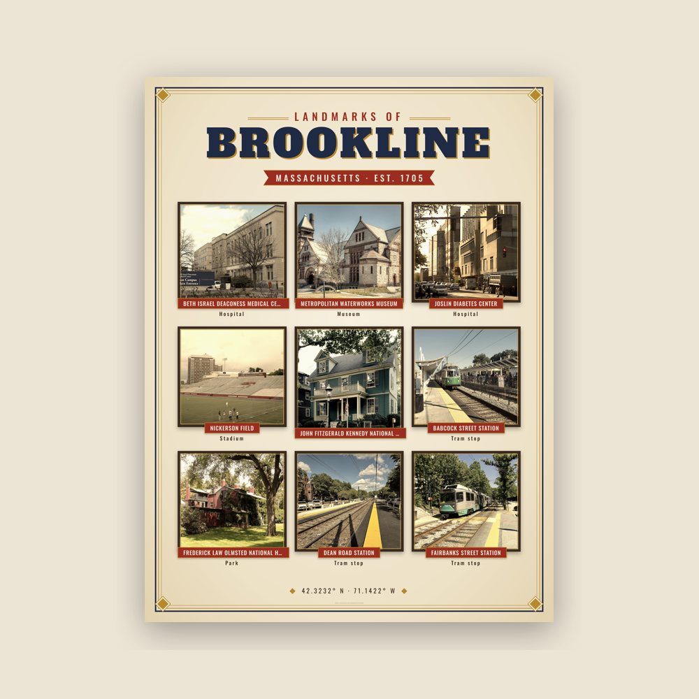
Nine local landmarks, archival matte
Map of local landmarks, washable fabric
Heavy-blend fleece, street map printed on the back
Soft Bella+Canvas jersey
Glossy ceramic, dishwasher safe
Ceramic keepsake, gold ribbon
Weatherproof, for the front walk
24″×16″, printed coir-look fibers, rubber back
12″×12″ printed wood, ready to hang
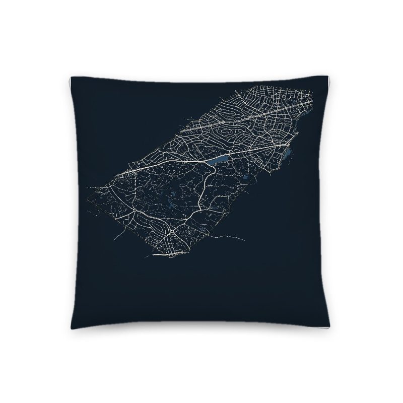
Soft-touch, zip cover
Sturdy all-over-print tote
Glossy top, cork back
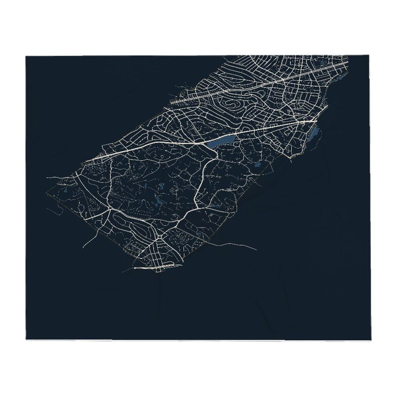
Soft fleece, 50″×60″
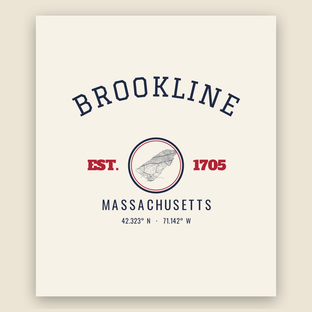
20 oz, double-wall stainless
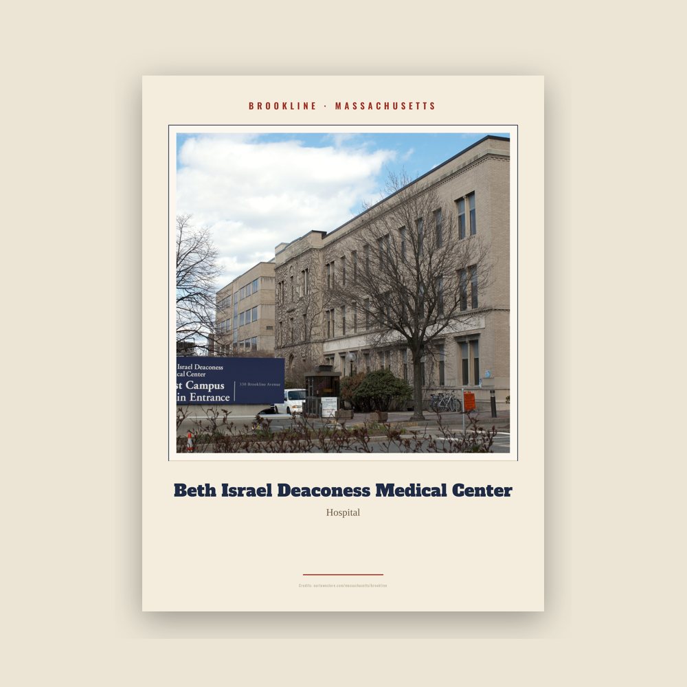
Archival matte print of a local landmark, credited to its photographer
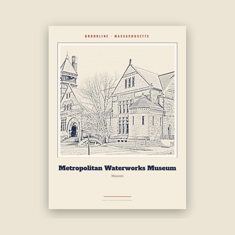
Archival matte print of a local landmark, credited to its photographer
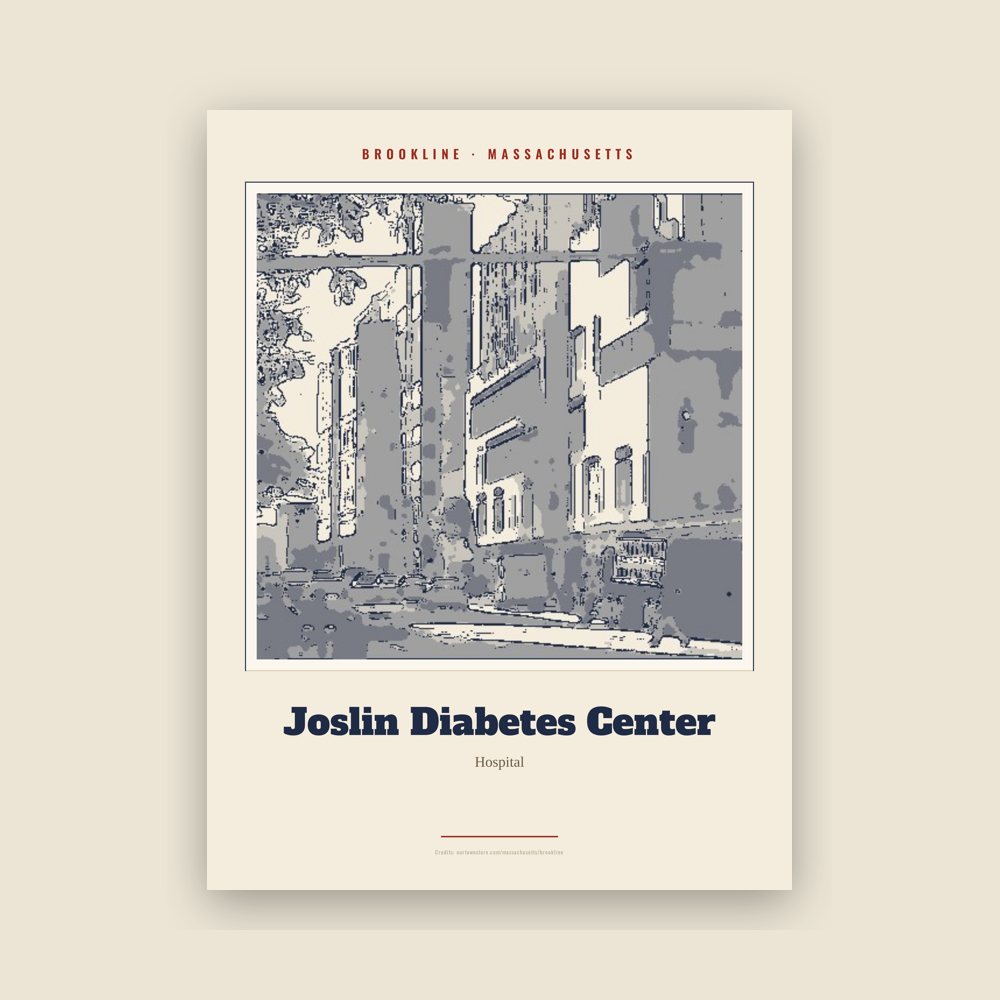
Archival matte print of a local landmark, credited to its photographer
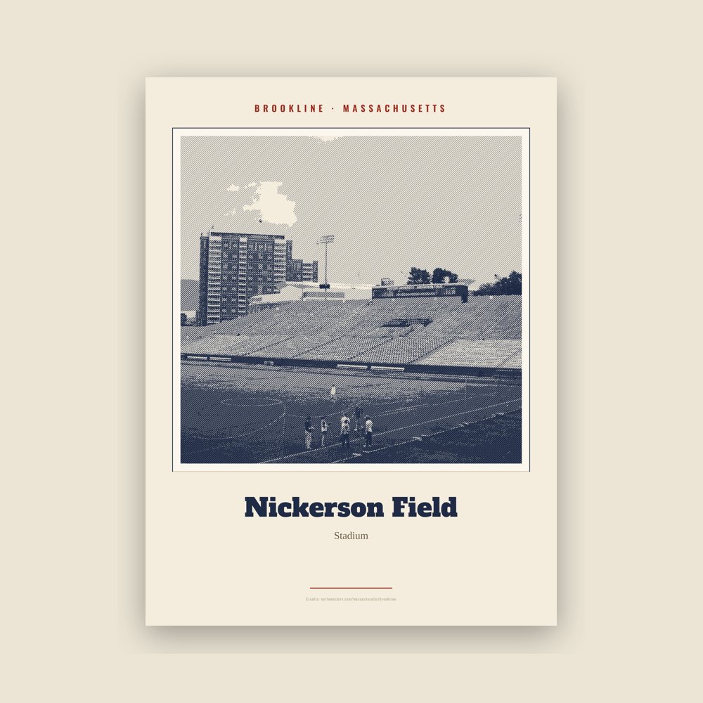
Archival matte print of a local landmark, credited to its photographer
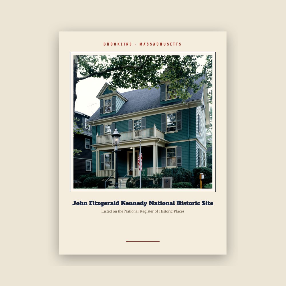
Archival matte print of a local landmark, credited to its photographer
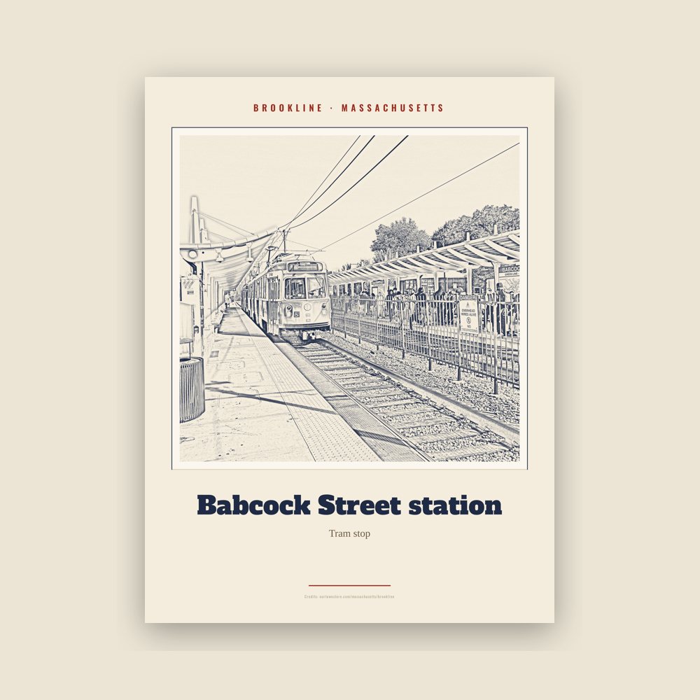
Archival matte print of a local landmark, credited to its photographer
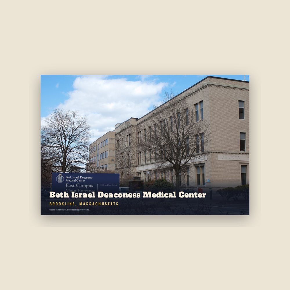
6″×4″ postcard, glossy front
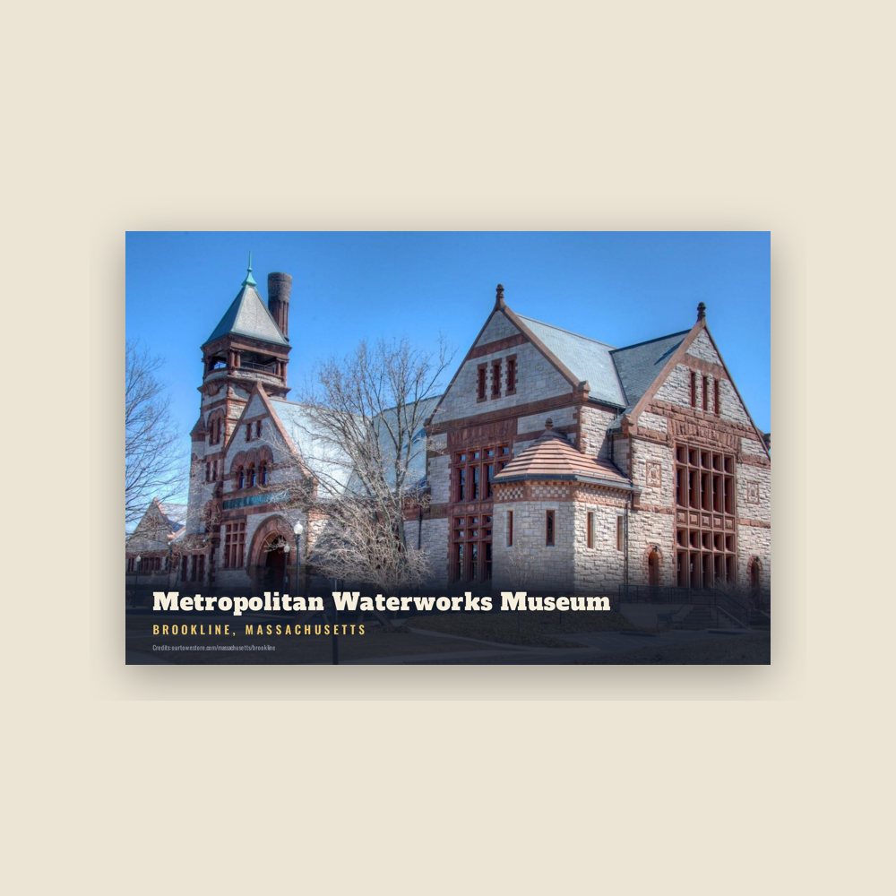
6″×4″ postcard, glossy front
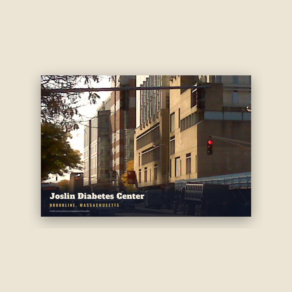
6″×4″ postcard, glossy front
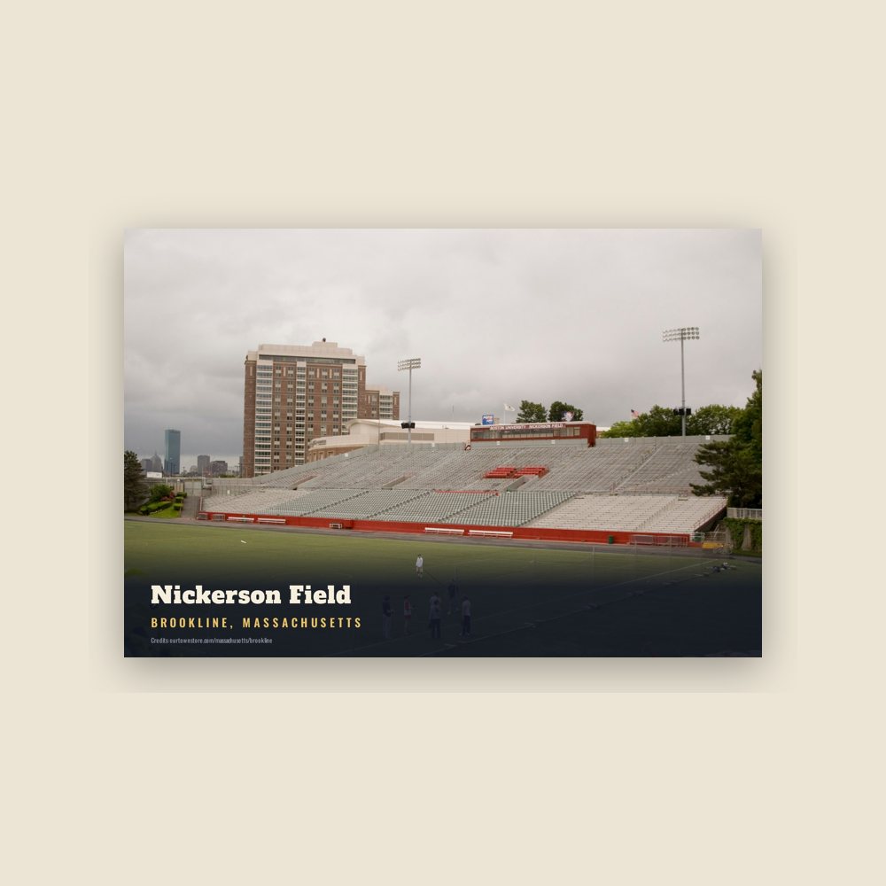
6″×4″ postcard, glossy front
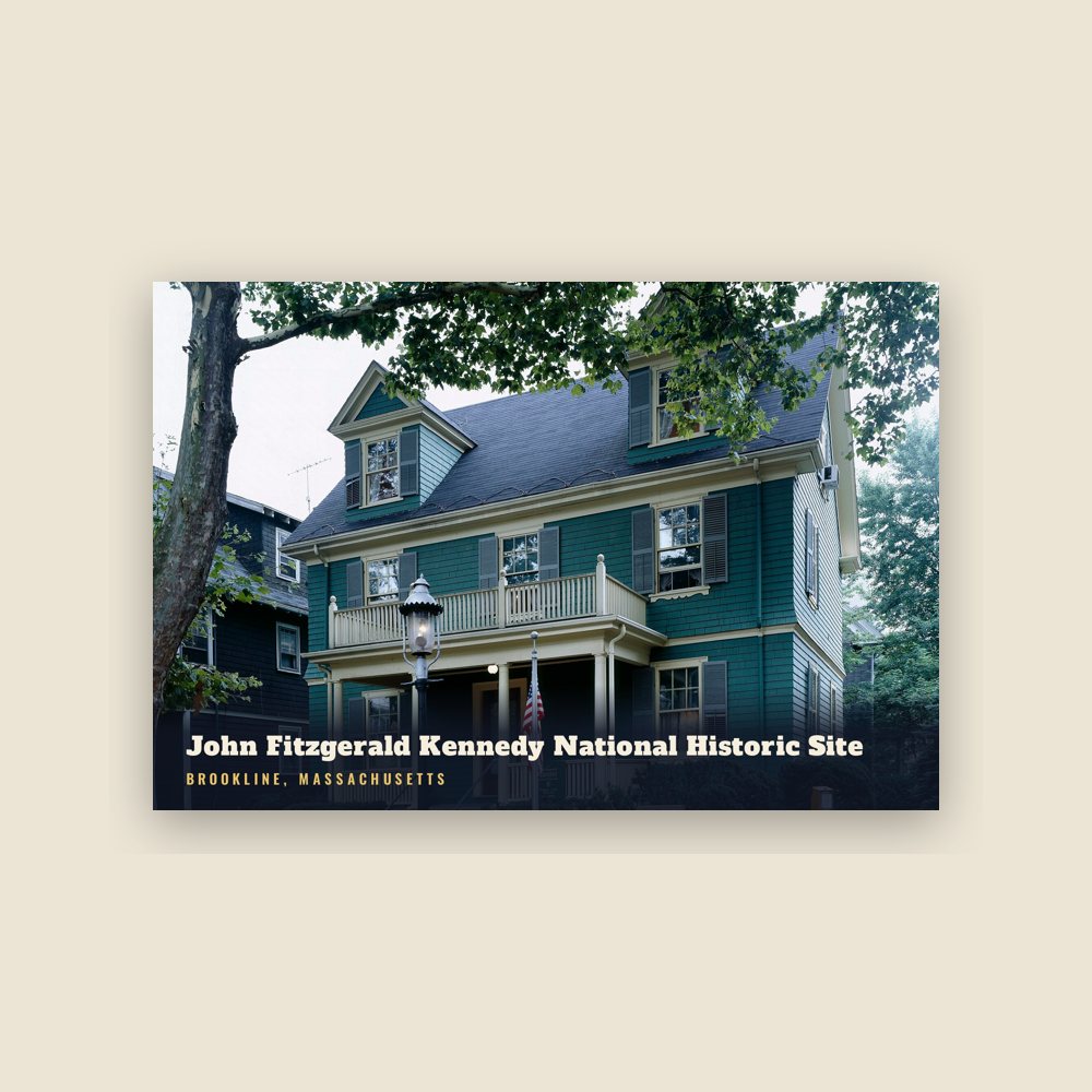
6″×4″ postcard, glossy front
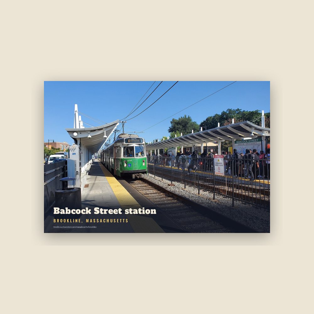
6″×4″ postcard, glossy front
Population 1790: 484 → 2010: 58,732 → 2019: 59,180 → 2020: 63,191
From Wikidata (CC0).
Once part of Algonquian territory, Brookline was first settled by European colonists in the early 17th century. The area was an outlying part of the colonial settlement of Boston and known as the hamlet of Muddy River. In 1705, it was incorporated as the independent town of Brookline. It was bounded by a section of the Charles River between the now covered Smelt Brook in the west and the Muddy River in the east.
In 1843, the town had a history of racial discrimination in zoning and a Black population of 2.5%. A typical racially restrictive covenant was formulated to forbade resale of a given property to "any negro or native of Ireland."
The Town of Brighton was merged with Boston in 1874, and the Boston-Brookline border was redrawn to connect the new Back Bay neighborhood with Allston-Brighton. Boston annexed the strip of land along the Charles River, cutting Brookline off from the shoreline. The current northern border follows Commonwealth Avenue, and on the northeast, St. Mary's Street. When Frederick Law Olmsted designed the Emerald Necklace of parks and parkways for Boston in the 1890s, the Muddy River was integrated into the Riverway and Olmsted Park, creating parkland accessible by both Boston and Brookline residents.
In 1873, Brookline had a contentious referendum in which it voted to remain independent from Boston. The later annexations of Brighton and West Roxbury, both in 1874, and that of Hyde Park in 1912, eventually made Brookline into an exclave of Norfolk County.
The whole of this neighborhood of Brookline is a kind of landscape garden, and there is nothing in America of the sort, so inexpressibly charming as the lanes which lead from one cottage, or villa, to another. No animals are allowed to run at large, and the open gates, with tempting vistas and glimpses under the pendent boughs, give it quite an Arcadian air of rural freedom and enjoyment. These lanes are clothed with a profusion of trees and wild shrubbery, often almost to the carriage tracks, and curve and wind about, in a manner quite bewildering to the stranger who attempts to thread them alone; and there are more hints here for the lover of the picturesque in lanes than we ever saw assembled together in so small a compass.
Brookline residents were among the first in the country to propose extending the vote to women. Benjamin F. Butler, in his 1882 campaign for governor, advocated the idea.
Two branches of upper Boston Post Road, established in the 1670s, passed through Brookline. Brookline Village was the original center of retail activity. In 1810, the Boston and Worcester Turnpike, now Massachusetts Route 9, was laid out, starting on Huntington Avenue in Boston and passing through the village center on its way west.
Steam railroads came to Brookline in the middle of the 19th century. The Boston and Worcester Railroad was constructed in the early 1830s, and passed through Brookline near the Charles River. The rail line is still in active use, now paralleled by the Massachusetts Turnpike. The Highland branch of the Boston and Albany Railroad was built from Kenmore Square to Brookline Village in 1847, and was extended into Newton in 1852. In the late 1950s, this became the Green Line D branch.
The portion of Beacon Street west of Kenmore Square was laid out in 1850. Streetcar tracks were laid above ground on Beacon Street in 1888, from Coolidge Corner to Massachusetts Avenue in Boston, via Kenmore Square. In 1889, they were electrified and extended over the Brighton border at Cleveland Circle. They would eventually become the Green Line C branch.
Due to the Boston Elevated Railway system, this upgrade from horse-drawn carriage to electric trolleys occurred on many major streets all over the region, and made transportation into downtown Boston faster and cheaper. Much of Brookline was developed into a streetcar suburb, with large, brick apartment buildings sprouting up along the new streetcar lines.
Brookline has a history of racial covenants that blocked racial minorities and some ethnic minorities to own housing there. In the early 20th century, Brookline banned the construction of triple-decker housing, which was a form of housing popular with poor immigrant communities in the United States. Advocates for the ban justified the ban with anti-immigrant rhetoric.
In 1922, Prescott F. Hall, a Brookline resident who co-founded the Immigration Restriction League, petitioned the Brookline government to exclusively allow single-family housing. In 1924, the Brookline government enacted a zoning change to only permit single-family housing in most of Brookline. Many of the present-day apartment buildings in Brookline were constructed prior to this zoning change.
In 1970, the state authorized rent control in municipalities with more than 50,000 residents. Brookline, Lynn, Somerville, and Cambridge subsequently adopted rent control. Brookline began decontrolling units in 1991. In 1987, a group of South Brookline residents petitioned to have Precinct 15 removed from Brookline and annexed to Newton. "The homeowner, the major source of property tax revenue is functionally disenfranchised in Brookline; politics is completely dominated by the tenants and the rent control interest," one organizer said of the reason they wanted to move.
Brookline has a recent history of blocking multifamily housing construction. Since the 1970s, new housing construction has plunged in Brookline. It has enacted zoning changes that ban multifamily apartment buildings and limit the height of buildings. Proposals for new development frequently face onerous lawsuits. These restrictions on housing supply have led housing prices in Brookline to skyrocket in recent decades. In 2023, the median sale price for a single-family home in Brookline was $2.51 million, and the median condo price was $927,500.
As a consequence of restrictions on housing supply, Brookline is overwhelmingly wealthy. Only 2.5% of its population is Black, which is the second-lowest share of Black people in any community in the Boston area. Only 14% of Brookline teachers, 21% of Brookline police, and 22% of Brookline firefighters live in Brookline, as median salaries for these kinds of jobs make housing in Brookline largely unaffordable.
Brookline was known as the hamlet of Muddy River and was considered part of Boston until the Town of Brookline was independently incorporated in 1705. (The Muddy River was used as the Brookline–Boston border at incorporation.) The name is said to derive from a farm therein once owned by Judge Samuel Sewall.
Originally, the property of Cpt John Hull and Judith Quincy Hull, Judge Sewall came into possession of this tract, which embraced more than 350 acres, through Hannah Quincy Hull (Sewall) who was the Hulls' only daughter. John Hull in his youth lived in Muddy River Hamlet, in a little house which stood near the Sears Memorial Church. Hull removed to Boston, where he amassed a large fortune for those days. Judge Sewall probably never lived on his Brookline estate.
Adapted (trimmed) from the Wikipedia article Brookline, Massachusetts, revision 1380381958 by its contributors, licensed CC BY-SA 4.0.
We share a part of every Brookline sale with local partners, and we'd love to print from your collection. Old photographs, maps and postcards make the best keepsakes.
Partner with us