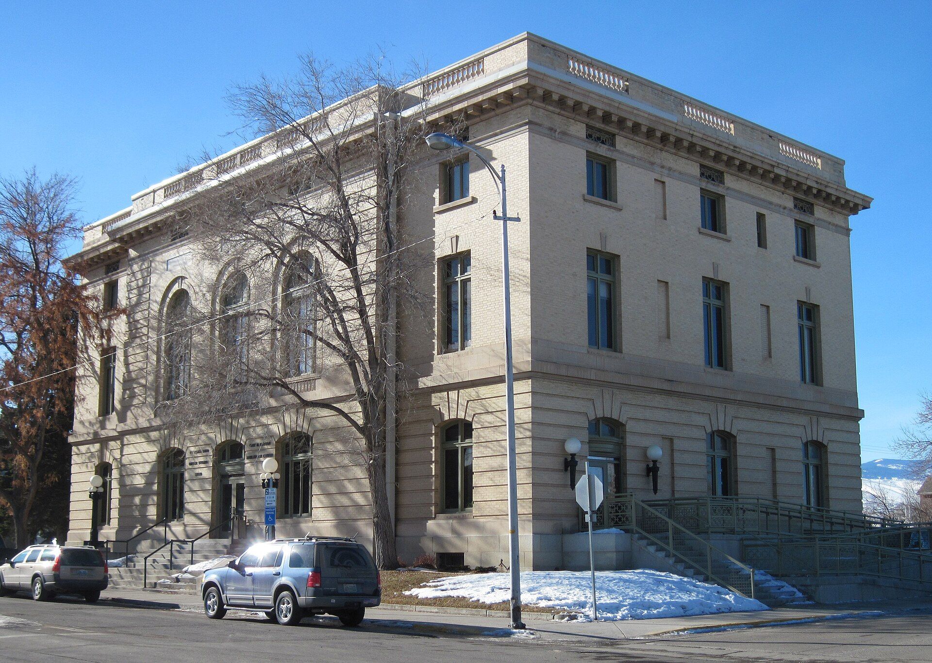
Lander was previously known as Pushroot, Old Camp Brown and Fort Augur. Landmarks include Sinks Canyon State Park, United States Post Office and Courthouse and Jackson Park Town Site Addition Brick Row. Lander is the birthplace of Nate Marquardt, mixed martial artist.
Every piece is drawn from Lander's own map data and historic archives, then printed and shipped from the USA when you order. No two towns look alike.
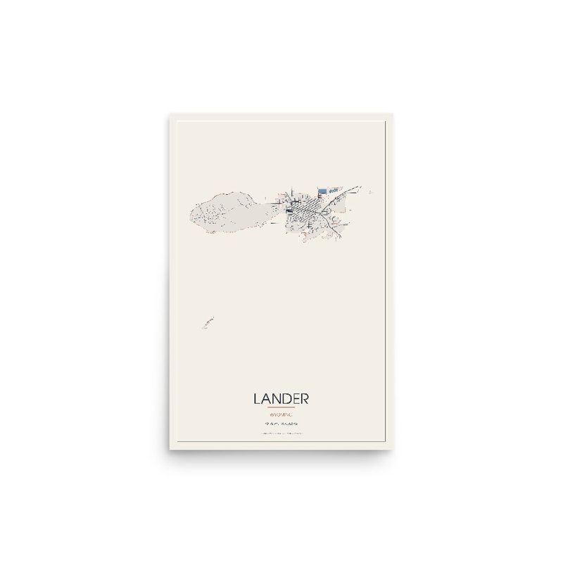
Every road in town, on archival matte paper
The same map, in navy and silver
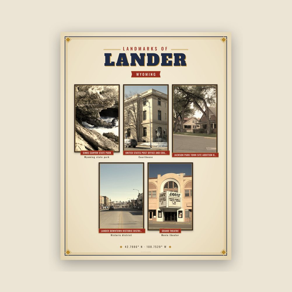
Nine local landmarks, archival matte
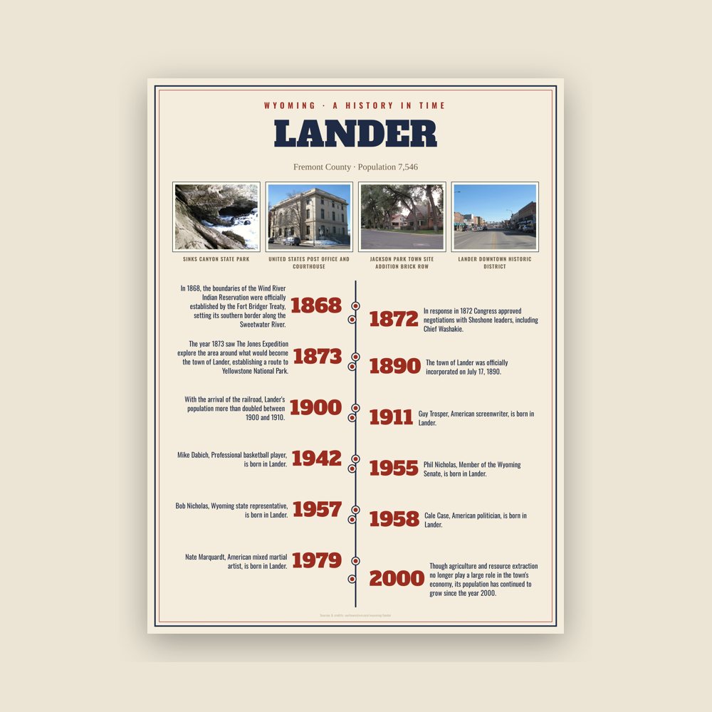
The town's story in dates, from its own records, for home or classroom
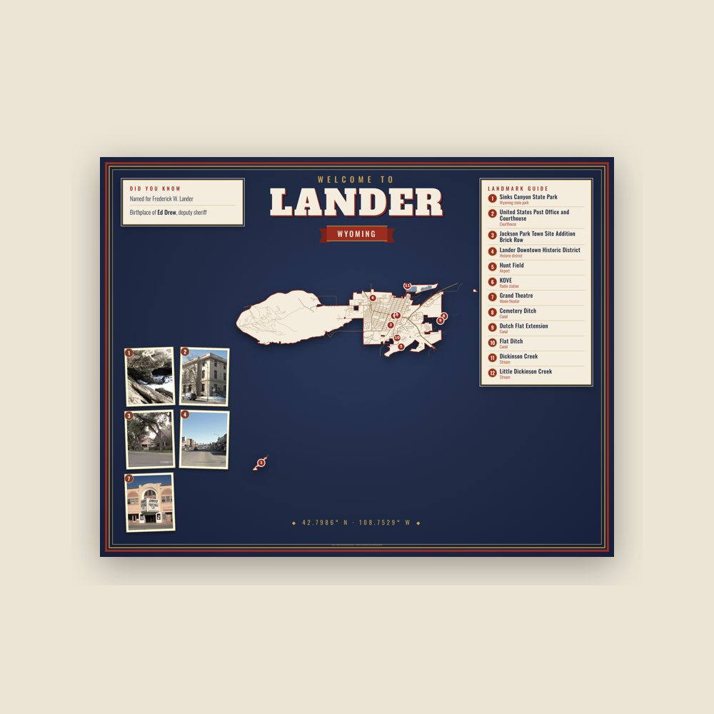
Map of local landmarks, washable fabric
Heavy-blend fleece, street map printed on the back
Soft Bella+Canvas jersey
Glossy ceramic, dishwasher safe
Ceramic keepsake, gold ribbon
Weatherproof, for the front walk
24″×16″, printed coir-look fibers, rubber back
12″×12″ printed wood, ready to hang
Soft-touch, zip cover
Sturdy all-over-print tote
Glossy top, cork back
Soft fleece, 50″×60″
20 oz, double-wall stainless
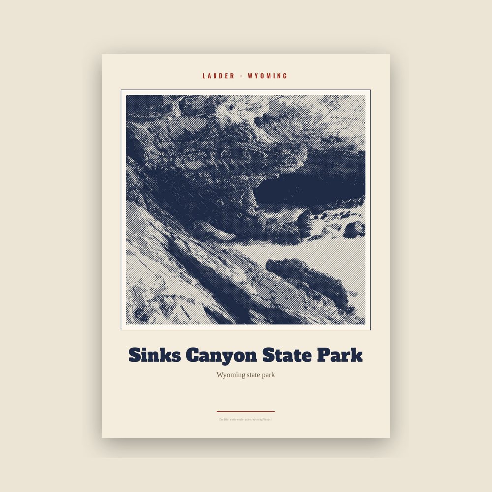
Archival matte print of a local landmark, credited to its photographer
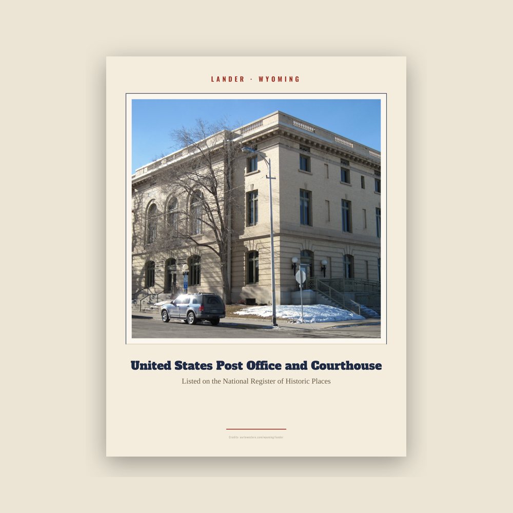
Archival matte print of a local landmark, credited to its photographer
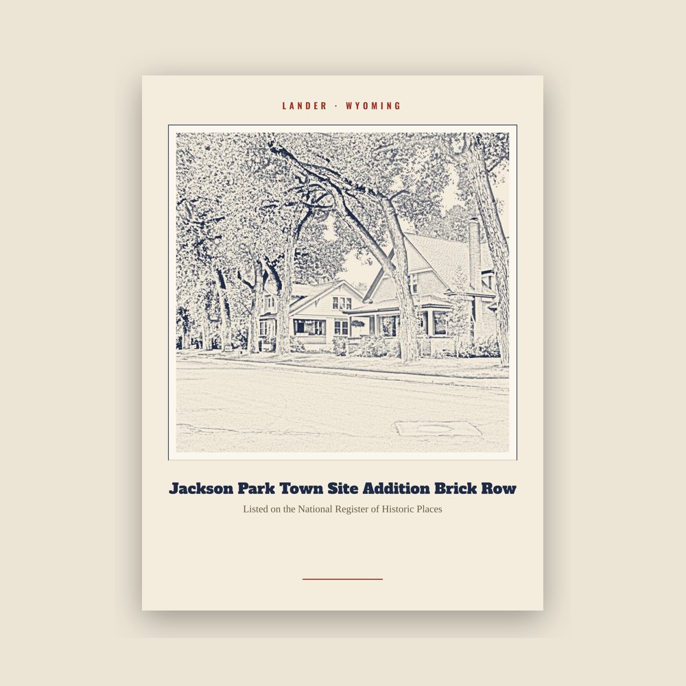
Archival matte print of a local landmark, credited to its photographer
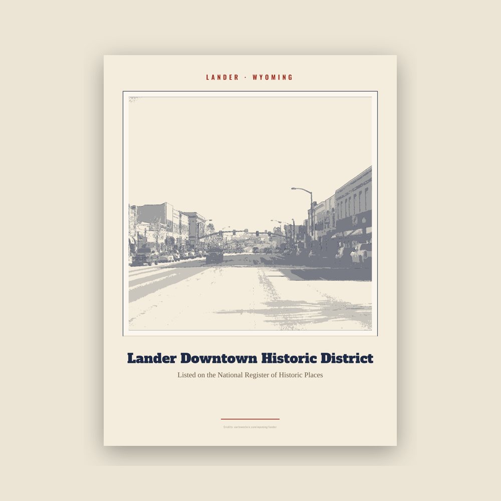
Archival matte print of a local landmark, credited to its photographer
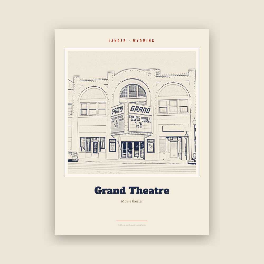
Archival matte print of a local landmark, credited to its photographer
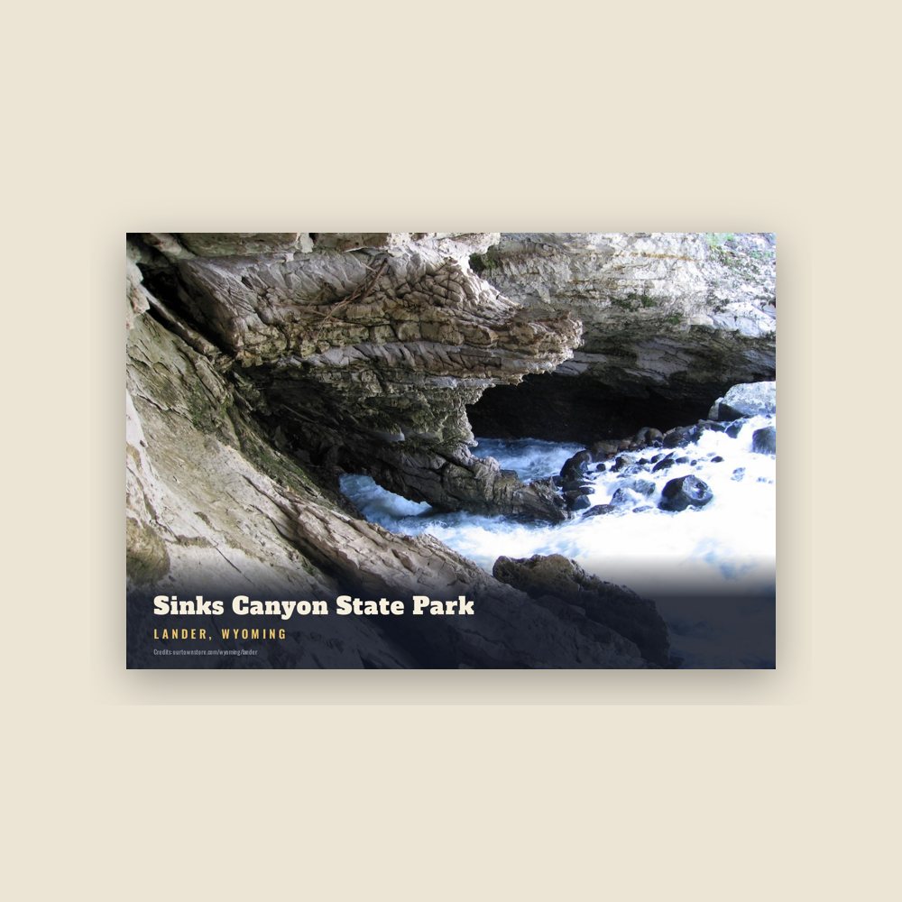
6″×4″ postcard, glossy front
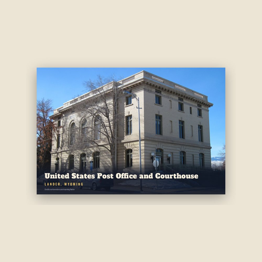
6″×4″ postcard, glossy front
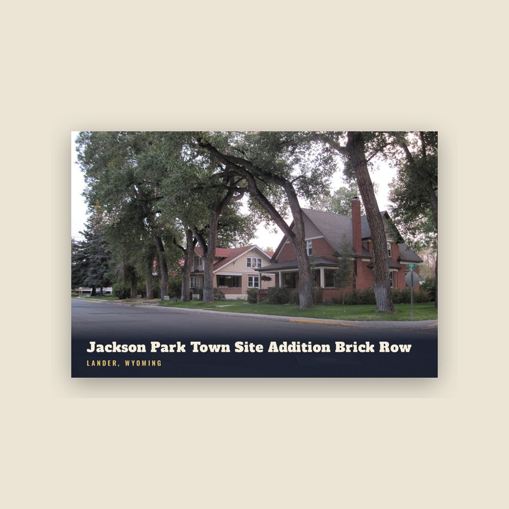
6″×4″ postcard, glossy front
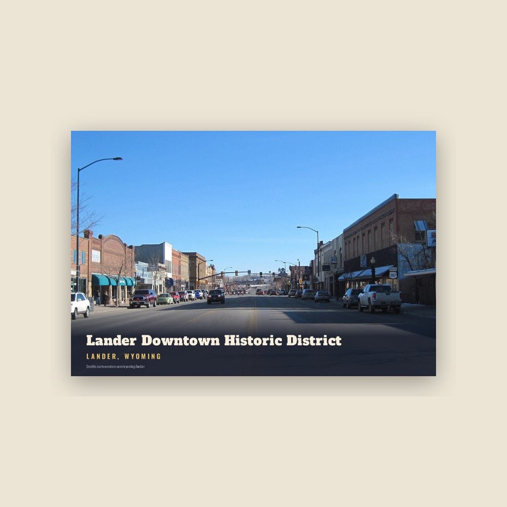
6″×4″ postcard, glossy front
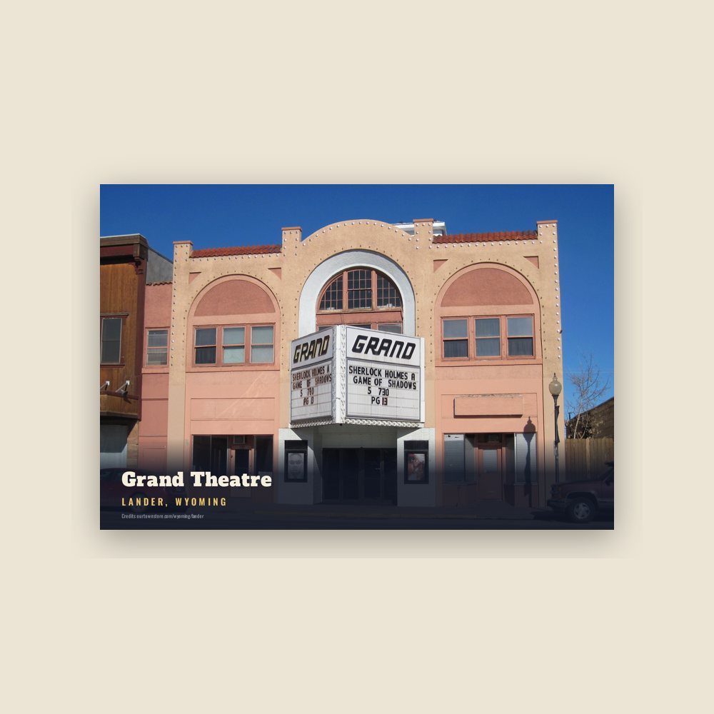
6″×4″ postcard, glossy front
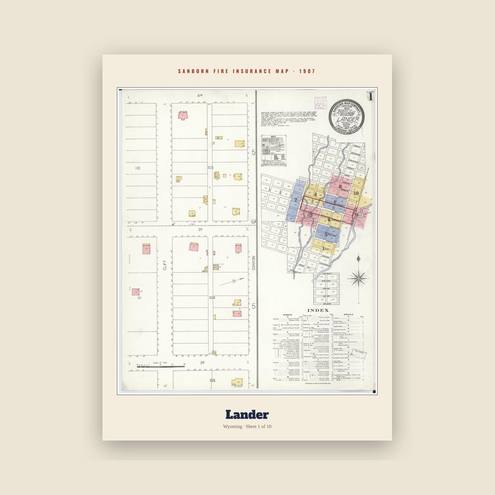
The town's earliest Sanborn fire-insurance map, drawn building by building and hand-coloured, from the Library of Congress
Named for Frederick W. Lander (Union Army general (1821–1862)).
Population 2010: 7,487 → 2020: 7,546
From Wikidata (CC0).
Lander was previously known as Pushroot, Old Camp Brown and Fort Augur. Its present name was chosen in 1875 in reference to General Frederick W. Lander, a transcontinental explorer who surveyed the Oregon Trail's Lander Cutoff.
In 1868, the boundaries of the Wind River Indian Reservation were officially established by the Fort Bridger Treaty, setting its southern border along the Sweetwater River. This marked the beginning of increased conflicts between the Shoshone tribe and white settlers, who were illegally encroaching on reservation lands. Additionally, it became evident to the U.S. Government that much of the land east of the Wind River Range on the reservation was considered desirable.
In response in 1872 Congress approved negotiations with Shoshone leaders, including Chief Washakie. These negotiations took place at Camp Stambaugh during the summer of 1872 and culminated in the Shoshone's agreement to cede the southern part of their reservation. The agreement provided the tribe with $25,000, $5,000 in stock cattle, and an annual salary of $500 for Chief Washakie over five years.
The year 1873 saw The Jones Expedition explore the area around what would become the town of Lander, establishing a route to Yellowstone National Park. This exploration resulted in extensive documentation of natural features, including hot springs, oil reserves, and hieroglyphs. Notably, the Dallas Dome area, situated several miles southeast of the future town-site near today's U.S. Route 287, was identified as the site of Wyoming's first oil well, completed in 1883. The town of Lander was officially incorporated on July 17, 1890.
On October 1, 1906, Lander became the westward terminus of the "Cowboy Line" of the Chicago and North Western Railway, thus originating the slogan "where rails end and trails begin." Originally intended to be a transcontinental mainline to Coos Bay, Oregon, or Eureka, California, the line never went further west, and service to Lander was abandoned in 1972. With the arrival of the railroad, Lander's population more than doubled between 1900 and 1910. At the turn of the century the town and surrounding valley were promising places for agricultural development due to the area's climate and potential for irrigation. At the time there were several new ventures around the town producing wool, wheat, oats, alfalfa, hay, vegetables, small fruit and in some cases orchards. However, a report from the State of Wyoming published in 1907 says agriculture around Lander only supplies local demand.
In 1962 U.S. Steel opened the Atlantic City iron ore and mill, 35 miles (56 km) south of Lander near Atlantic City The mine was a significant employer in Lander, but by 1983 it ceased operations.
Lander continues to evolve and faces similar issues as many small towns in the Western United States. Education and outdoor recreation play a large role in the town's economy with the Wyoming Catholic College and National Outdoor Leadership School both based in Lander. Though agriculture and resource extraction no longer play a large role in the town's economy, its population has continued to grow since the year 2000.
Adapted (trimmed) from the Wikipedia article Lander, Wyoming, revision 1379461047 by its contributors, licensed CC BY-SA 4.0.
We share a part of every Lander sale with local partners, and we'd love to print from your collection. Old photographs, maps and postcards make the best keepsakes.
Partner with us