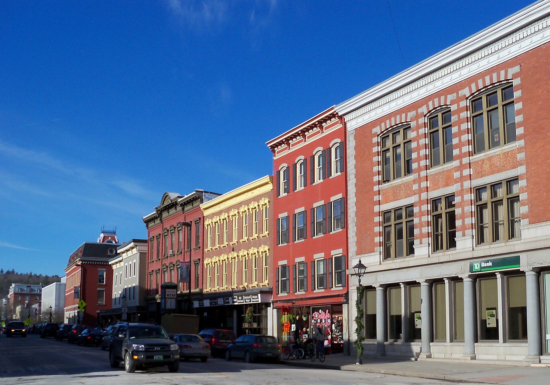
Montpelier is the capital city of the U.S. state of Vermont and the county seat of Washington County. Landmarks include Washington County, Vermont State House and Vermont Supreme Court. Montpelier is the birthplace of Patrick Leahy, politician and lawyer.
Every piece is drawn from Montpelier's own map data and historic archives, then printed and shipped from the USA when you order. No two towns look alike.
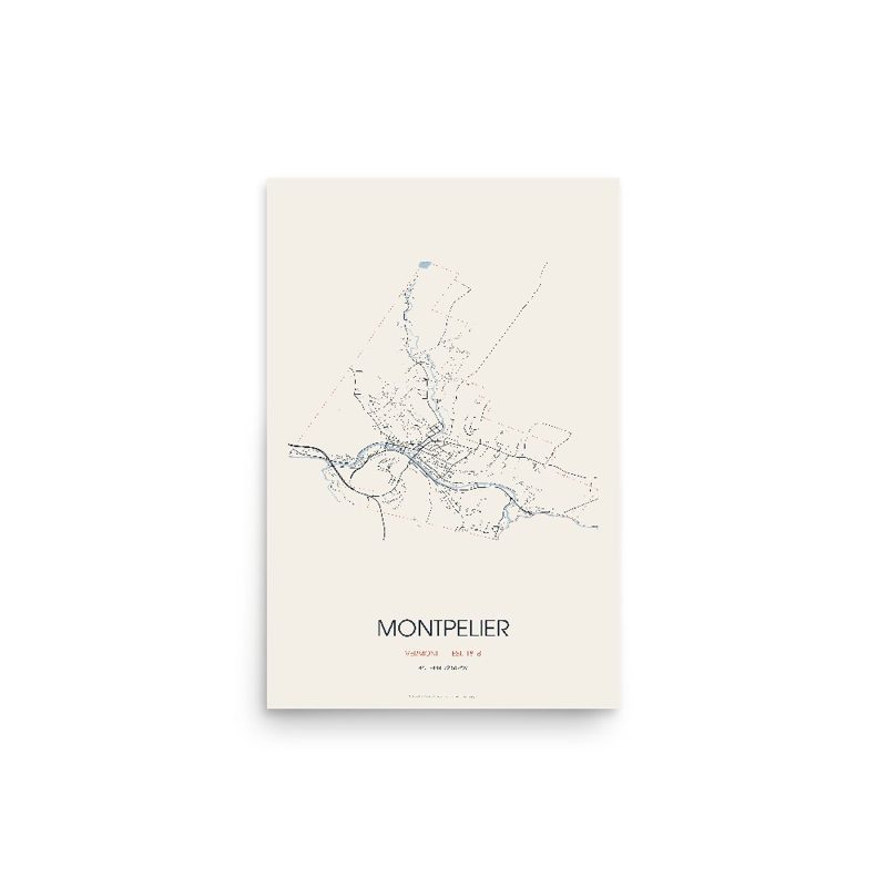
Every road in town, on archival matte paper
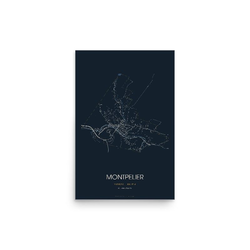
The same map, in navy and silver
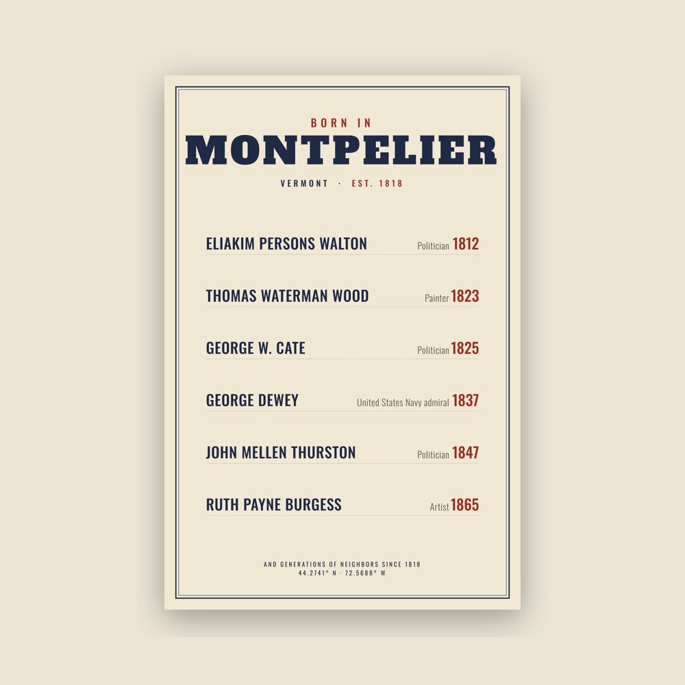
Famous natives, by birth year
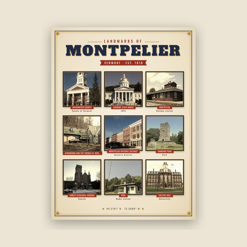
Nine local landmarks, archival matte
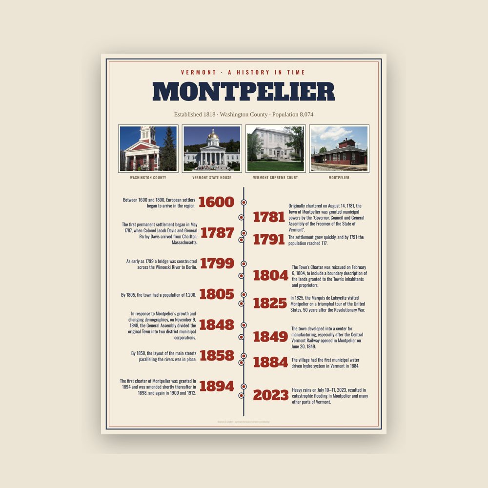
The town's story in dates, from its own records, for home or classroom
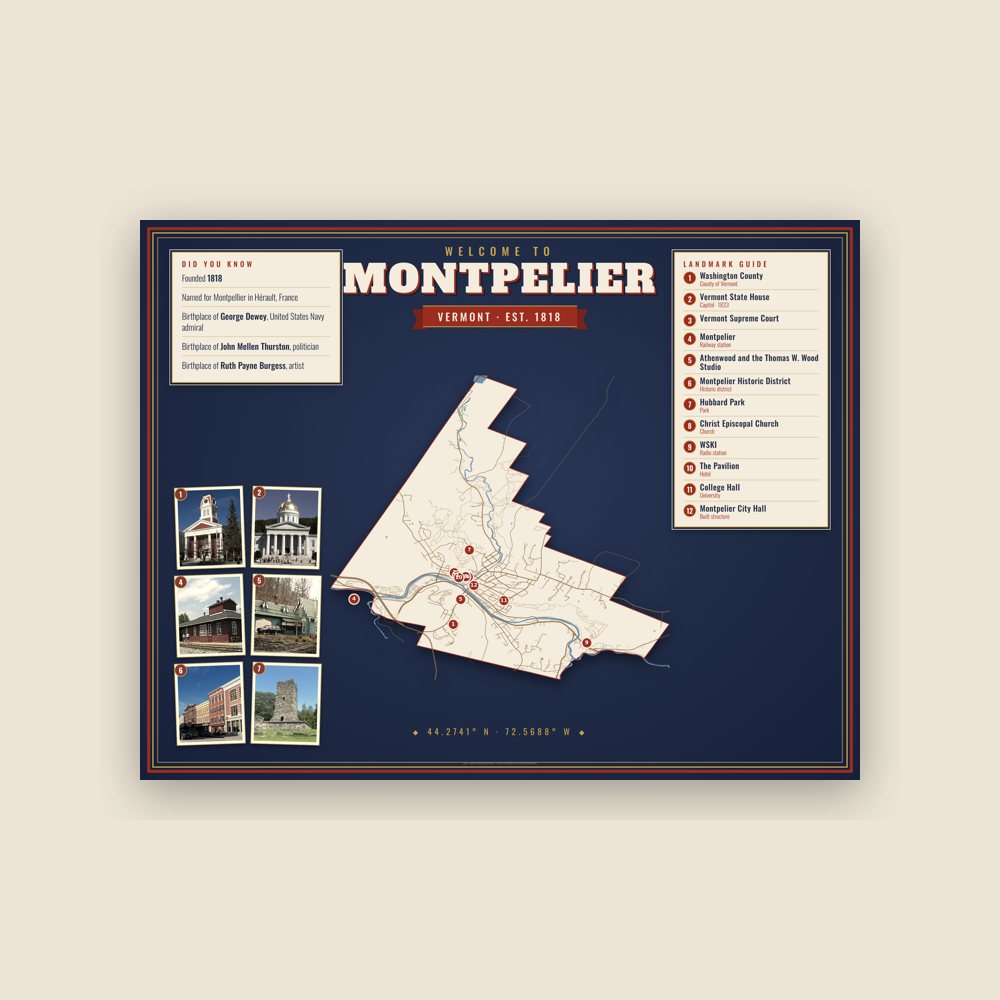
Map of local landmarks, washable fabric
Heavy-blend fleece, street map printed on the back
Soft Bella+Canvas jersey
Glossy ceramic, dishwasher safe
Ceramic keepsake, gold ribbon
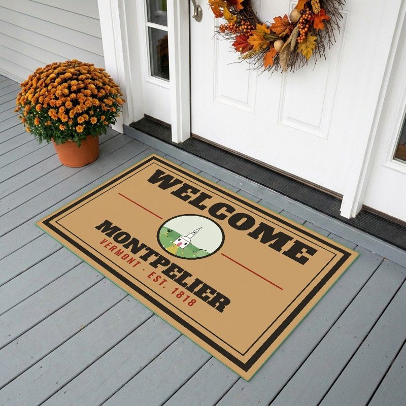
Weatherproof, for the front walk
24″×16″, printed coir-look fibers, rubber back
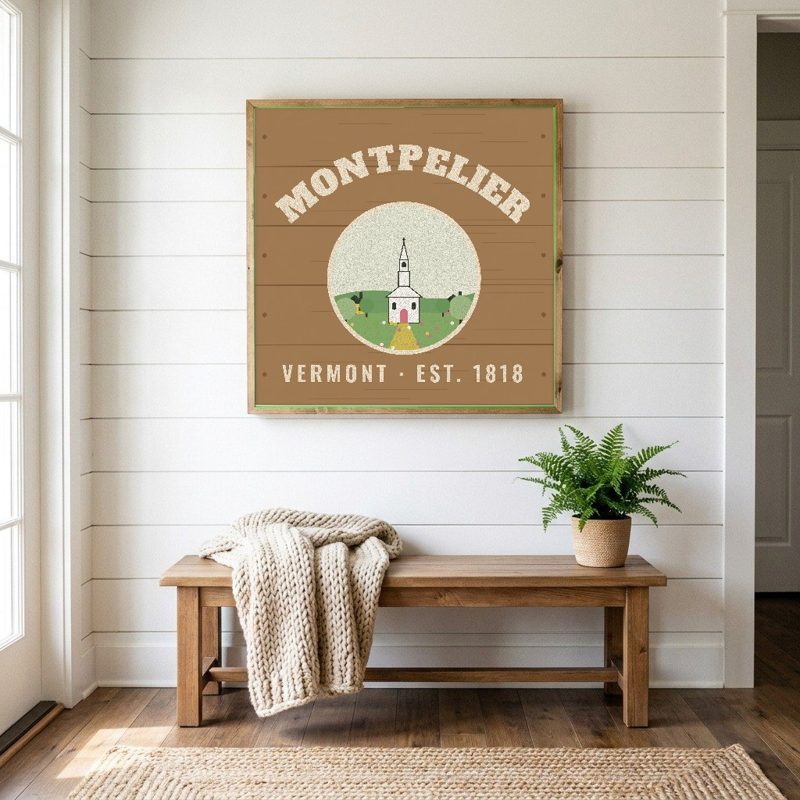
12″×12″ printed wood, ready to hang
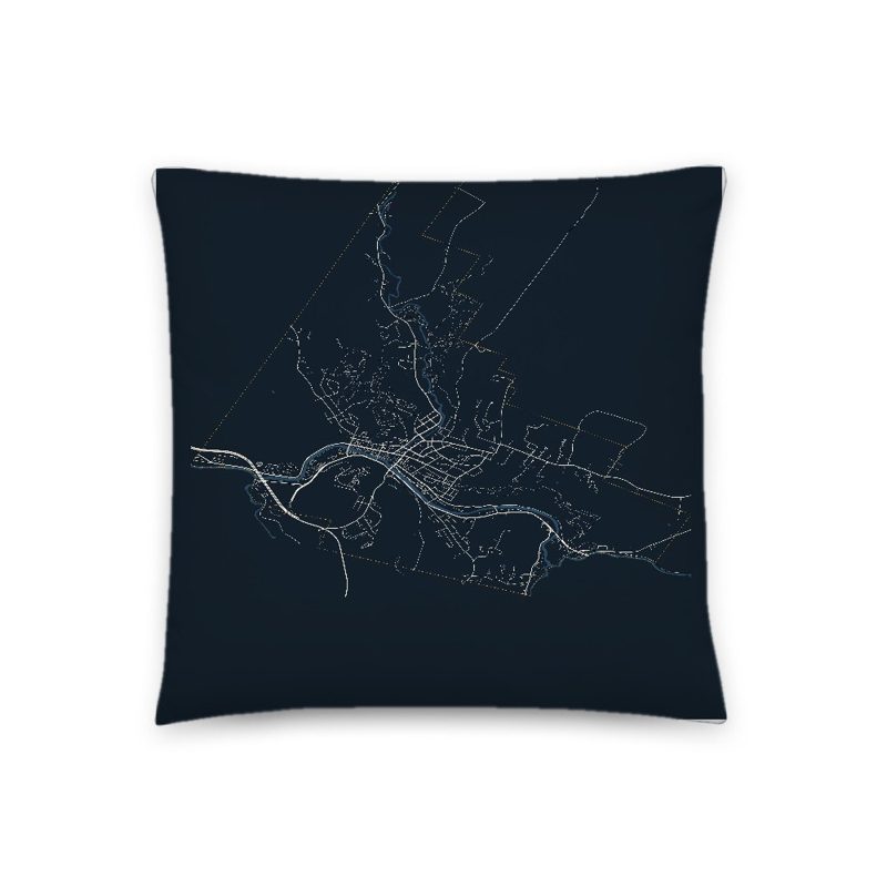
Soft-touch, zip cover
Sturdy all-over-print tote
Glossy top, cork back
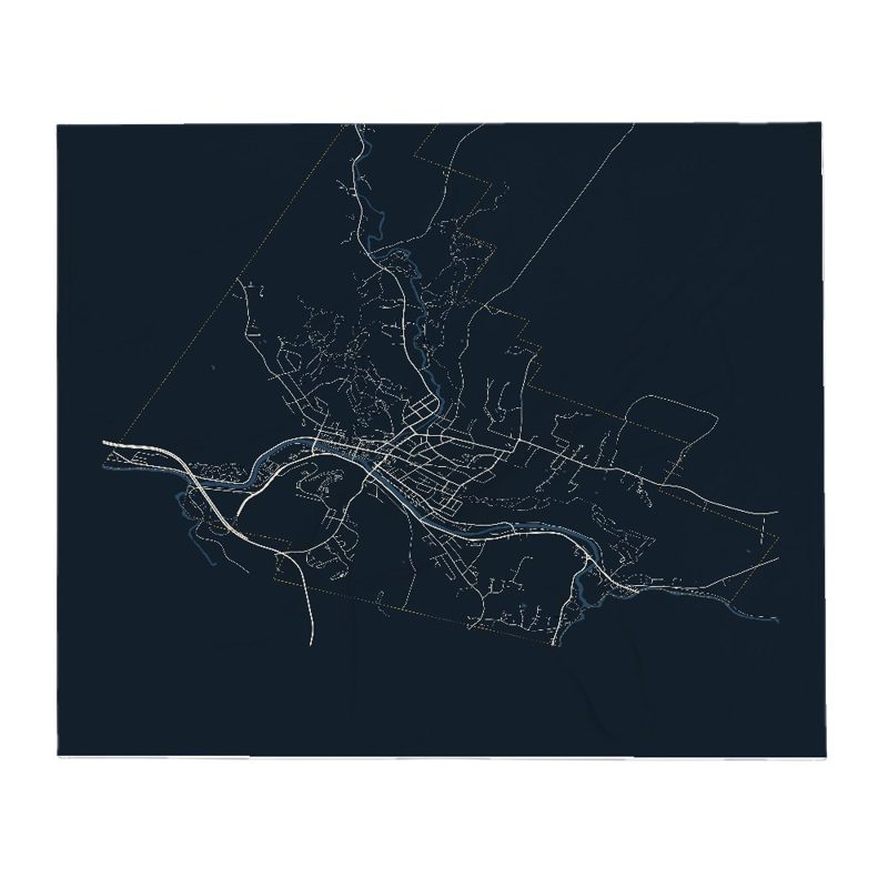
Soft fleece, 50″×60″
20 oz, double-wall stainless
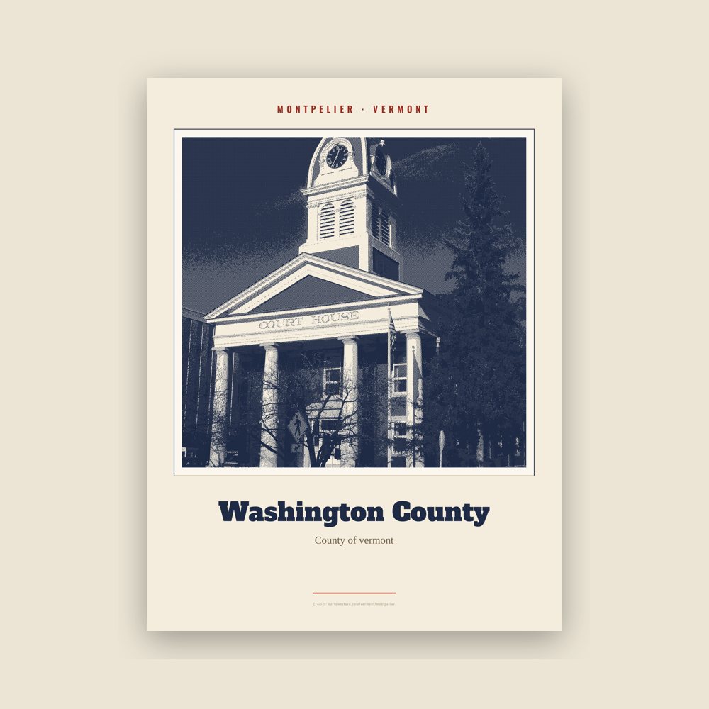
Archival matte print of a local landmark, credited to its photographer
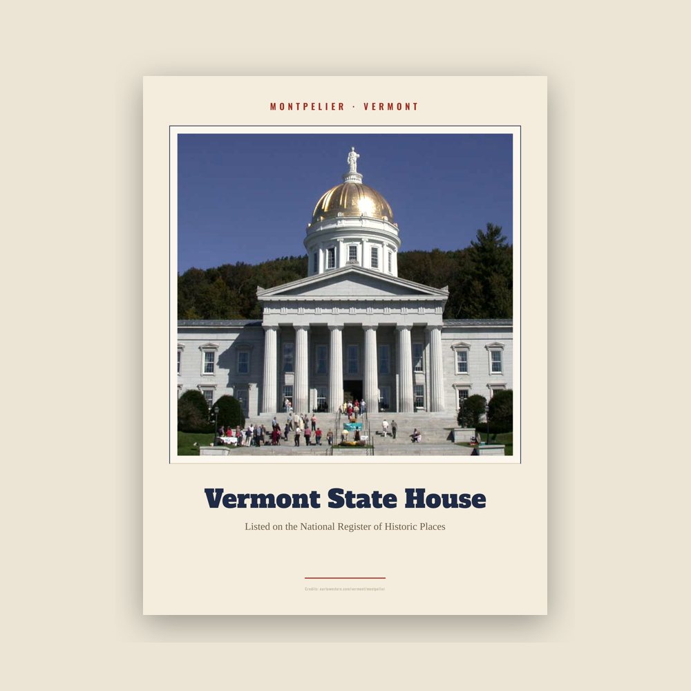
Archival matte print of a local landmark, credited to its photographer
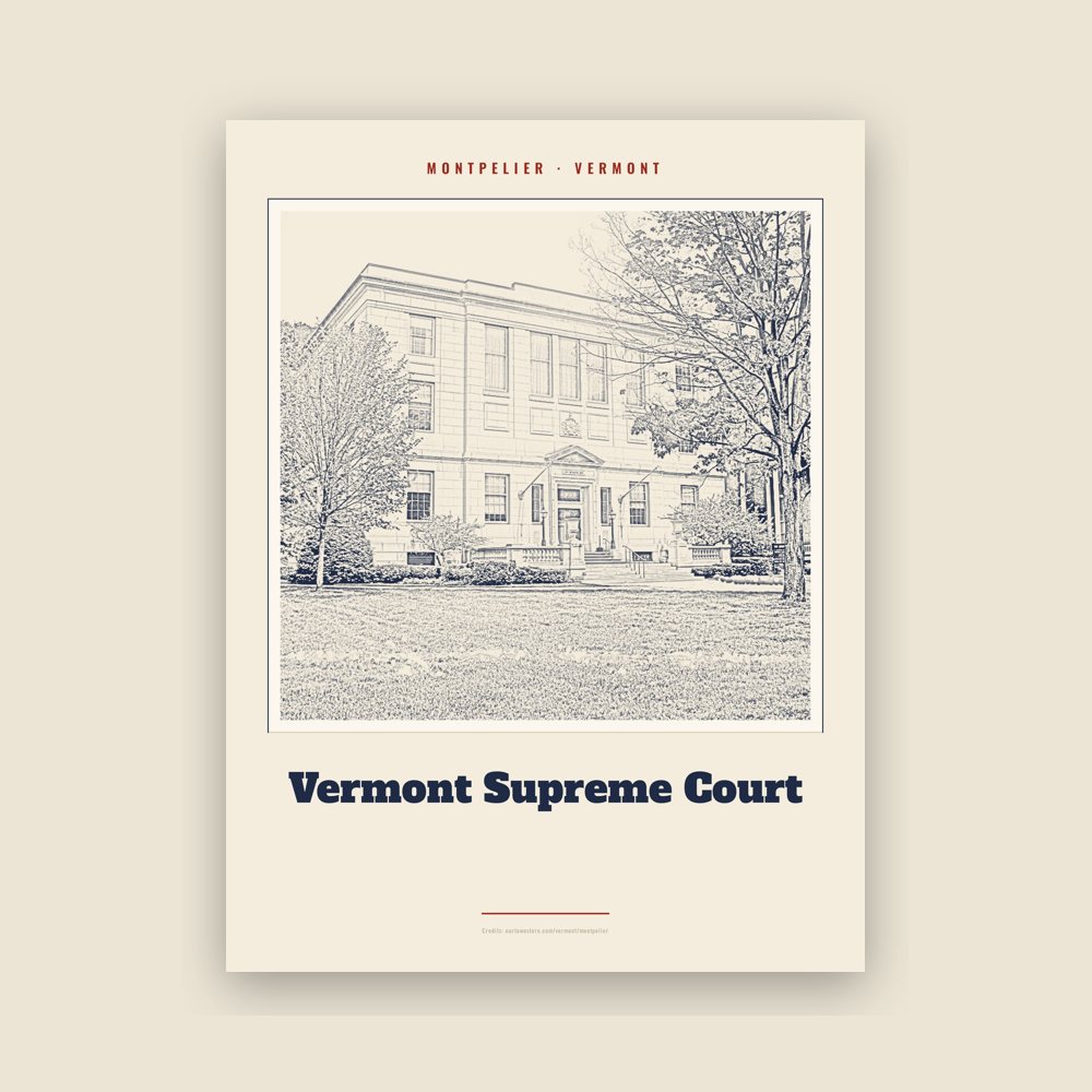
Archival matte print of a local landmark, credited to its photographer
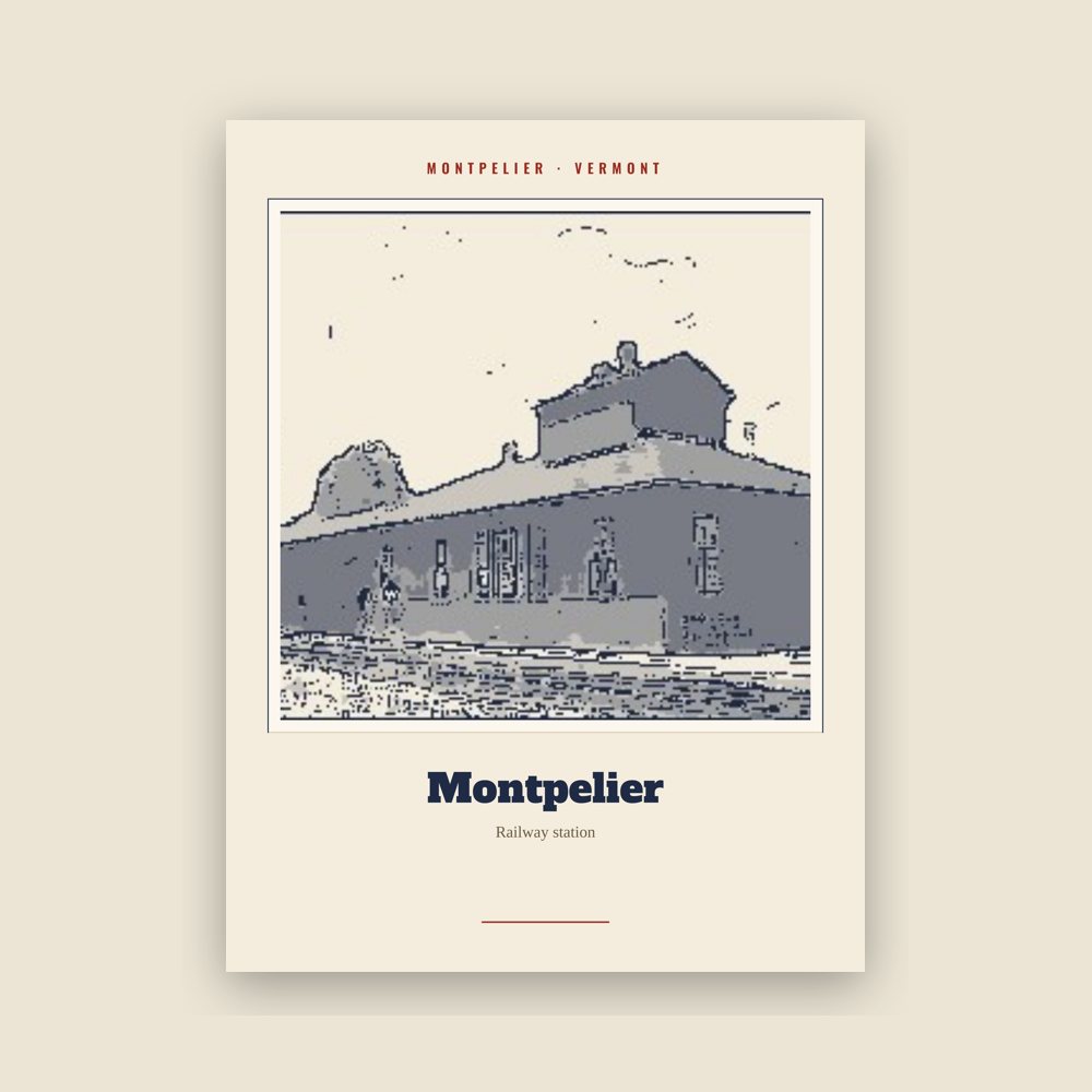
Archival matte print of a local landmark, credited to its photographer
Archival matte print of a local landmark, credited to its photographer
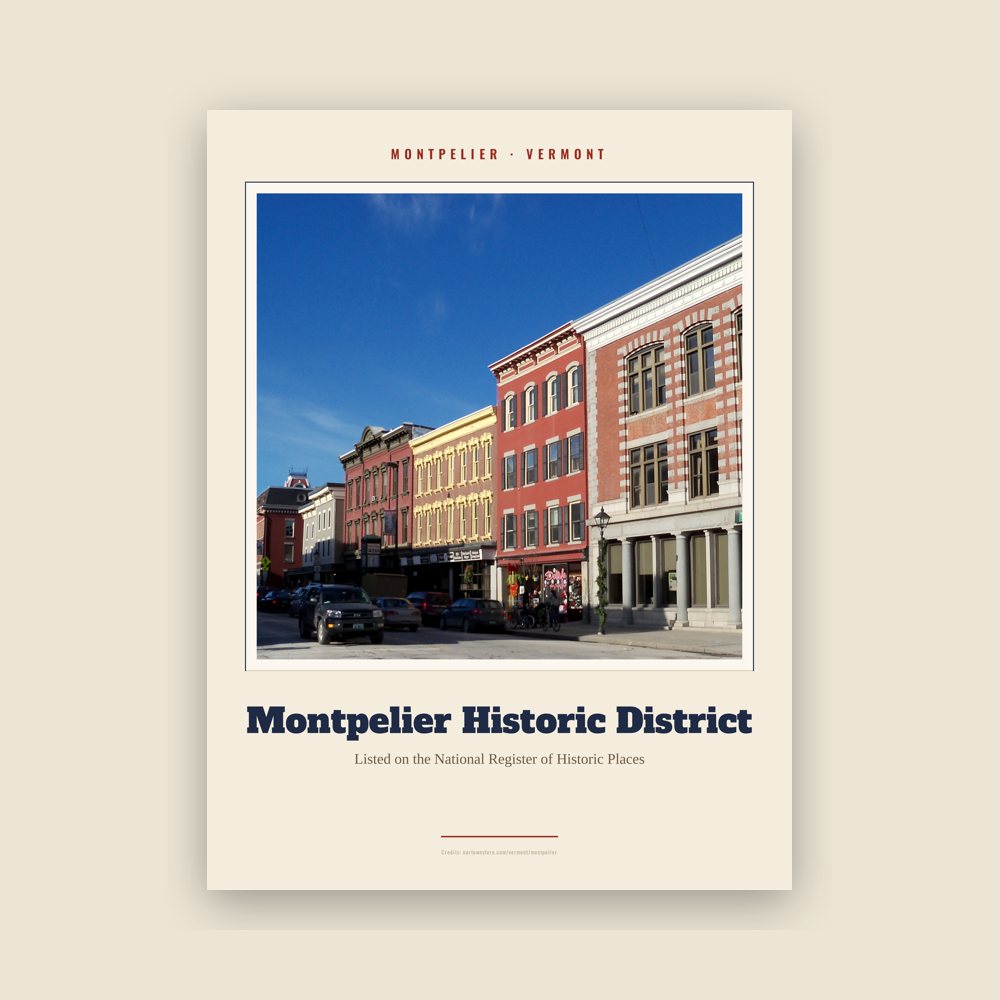
Archival matte print of a local landmark, credited to its photographer
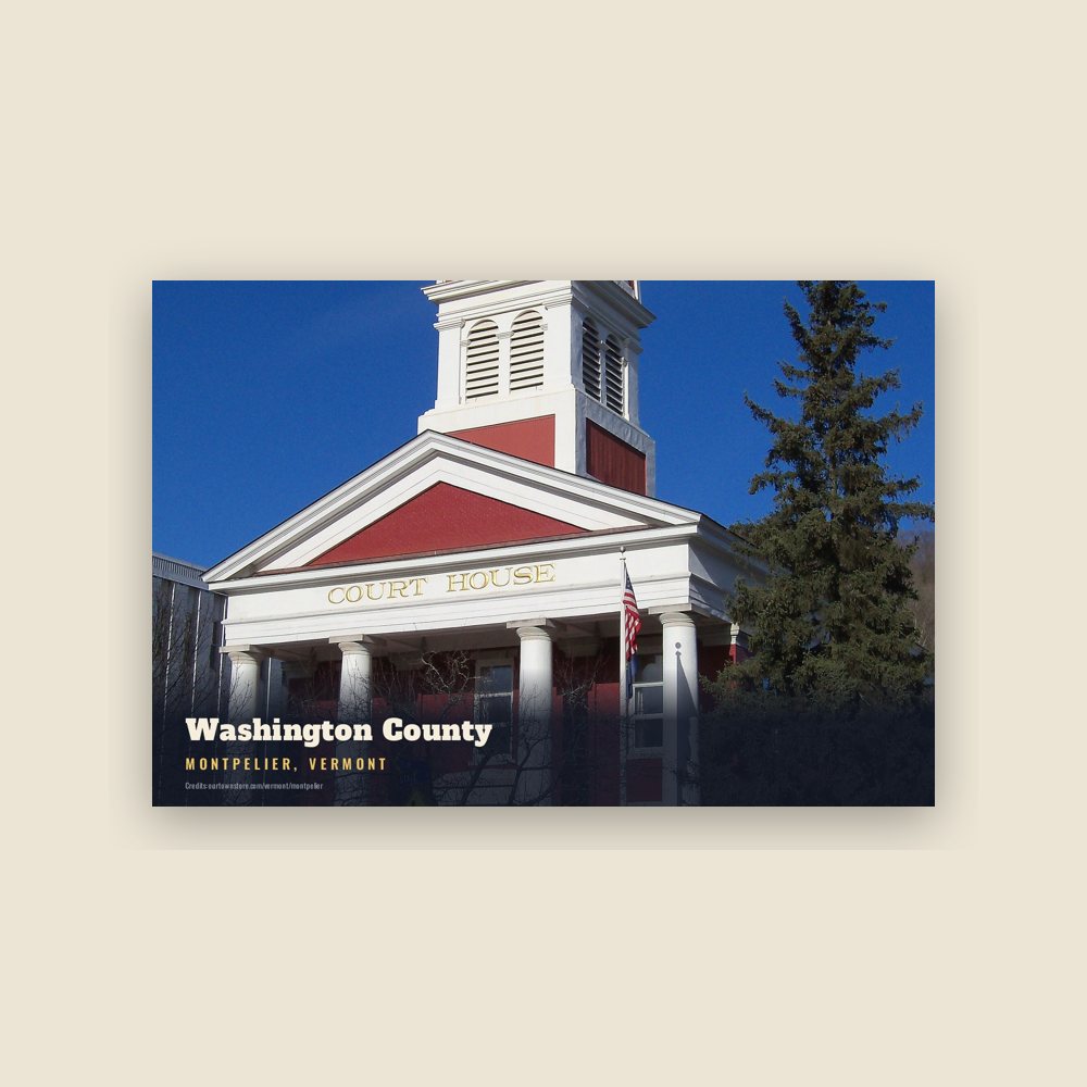
6″×4″ postcard, glossy front
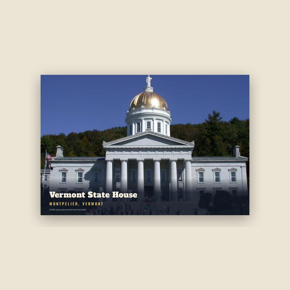
6″×4″ postcard, glossy front
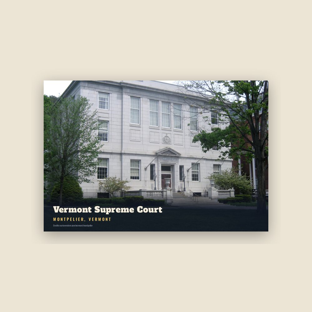
6″×4″ postcard, glossy front
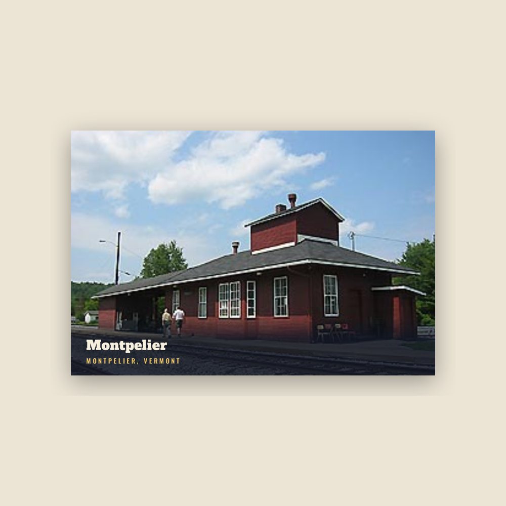
6″×4″ postcard, glossy front
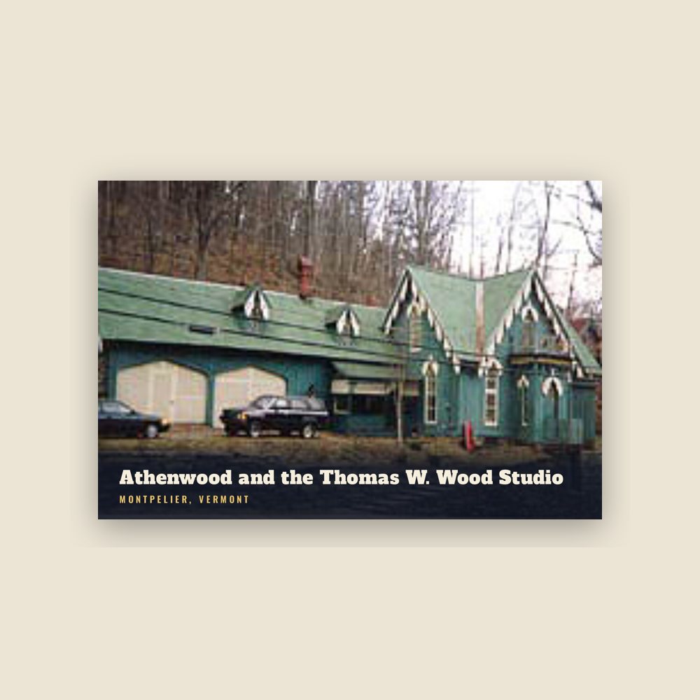
6″×4″ postcard, glossy front
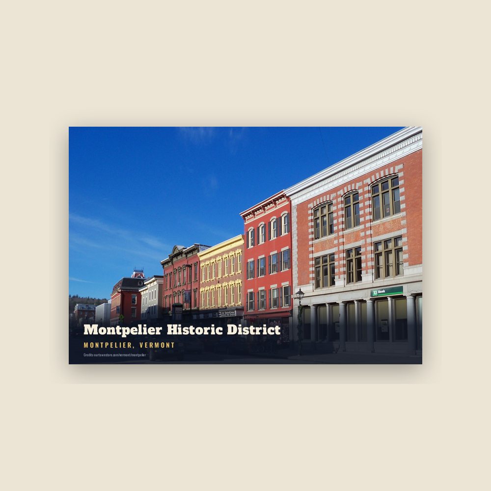
6″×4″ postcard, glossy front
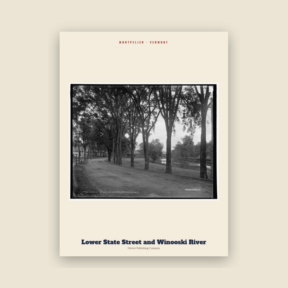
From the Library of Congress collections: a historic survey drawing or photograph of the town
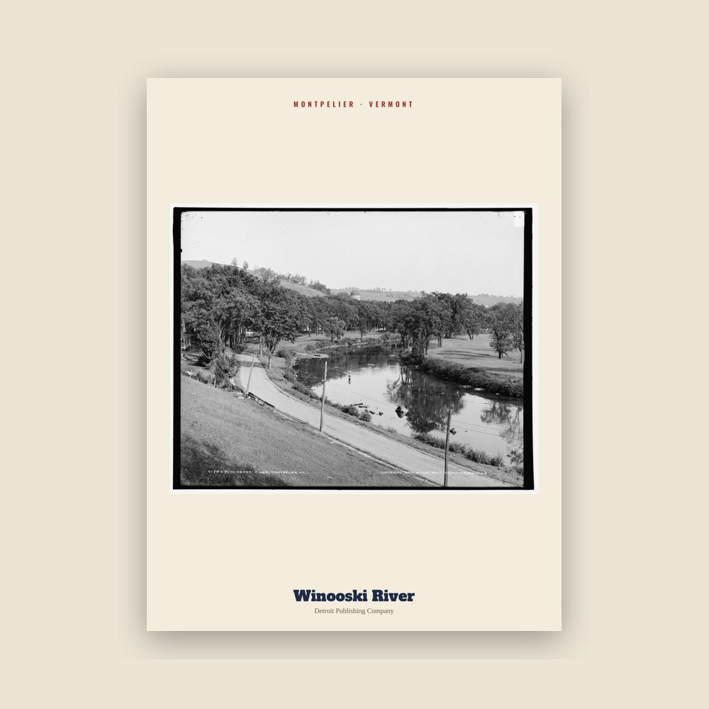
From the Library of Congress collections: a historic survey drawing or photograph of the town
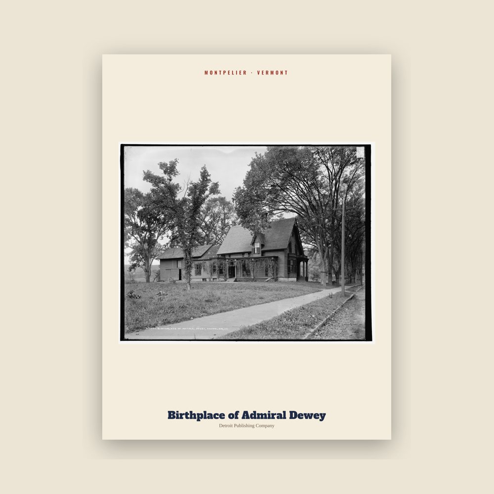
From the Library of Congress collections: a historic survey drawing or photograph of the town
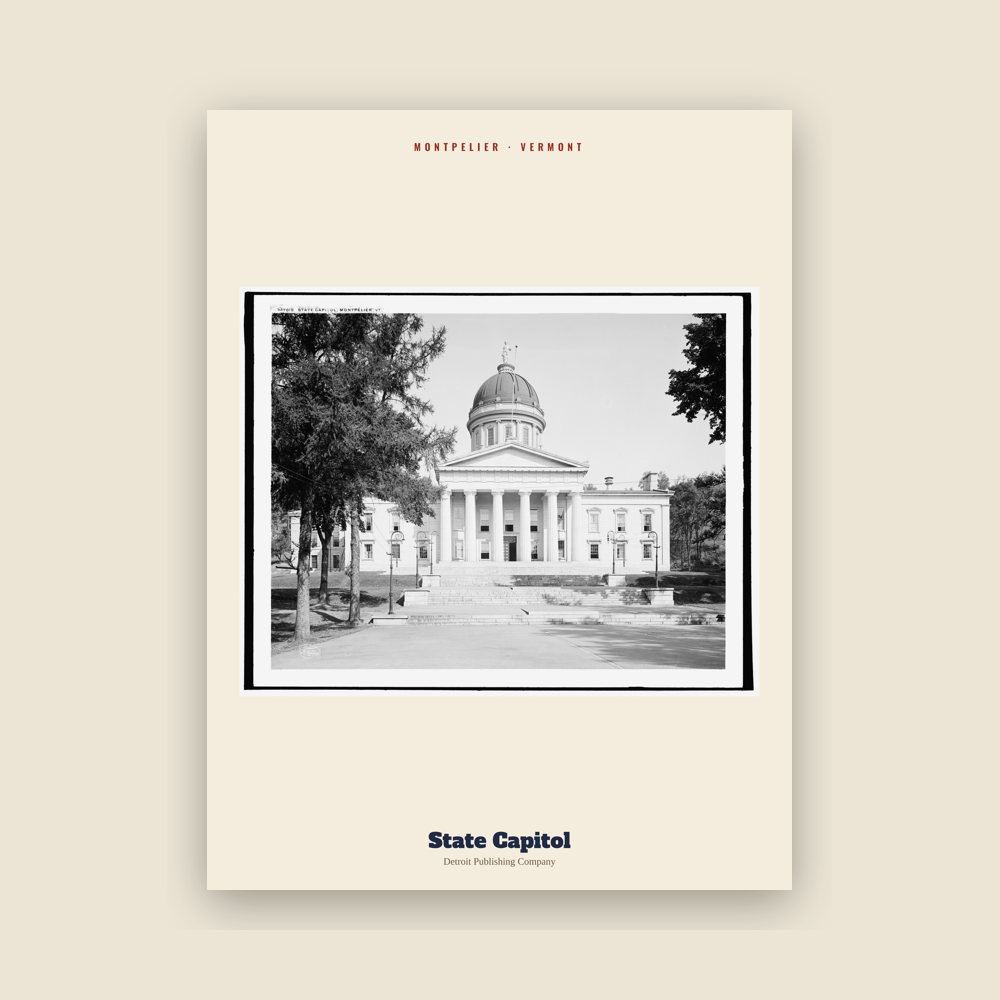
From the Library of Congress collections: a historic survey drawing or photograph of the town
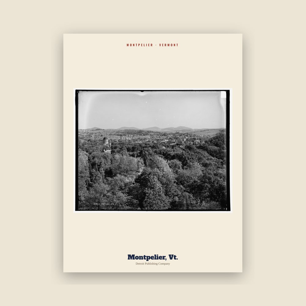
From the Library of Congress collections: a historic survey drawing or photograph of the town
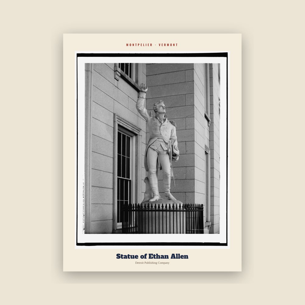
From the Library of Congress collections: a historic survey drawing or photograph of the town
Named for Montpellier (city in Hérault, France).
Population 2000: 8,035 → 2010: 7,855 → 2020: 8,074
From Wikidata (CC0).
The meadows and flats of the Winooski River were well known among natives for their corn-raising capacities. The natural site of Montpelier made it a favorite residence for the natives who first inhabited the land. The level plain of nearly two hundred acres of the rich farmland, sheltered from winds by the surrounding valley made the area comparatively warm and comfortable. Its position near the confluence of many streams allowed for favorable hunting, fishing, and trading. Native mounds, tombstones, and other memorials of aboriginal life and death were found in Montpelier, or in the vicinity, by the first settlers, and traces of some of them still remain.
Between 1600 and 1800, European settlers began to arrive in the region. Soon after, war, disease, and dispersal virtually destroyed the Native American settlements. However, evidence suggests some Native Americans remained in the area as late as the mid-1800s.
Originally chartered on August 14, 1781, the Town of Montpelier was granted municipal powers by the "Governor, Council and General Assembly of the Freemen of the State of Vermont". The first permanent settlement began in May 1787, when Colonel Jacob Davis and General Parley Davis arrived from Charlton, Massachusetts. General Davis surveyed the land, while Colonel Davis cleared forest and erected a large log house on the west side of the North Branch of the Winooski River. His family moved in the following winter.
Colonel Davis selected the name "Montpelier" after the French city of Montpellier, capital of the department of Hérault. There was a general enthusiasm for things French as a result of the country's aid to the American colonies during the Revolutionary War. The settlement grew quickly, and by 1791 the population reached 117.
The configuration of the early village was strongly influenced by geography. As early as 1799 a bridge was constructed across the Winooski River to Berlin.
The Town's Charter was reissued on February 6, 1804, to include a boundary description of the lands granted to the Town's inhabitants and proprietors. The confluence of the Winooski, North Branch and Dog Rivers provided a central point for the local population and commerce.
By 1805, the town had a population of 1,200. In that year, the state legislature sought a permanent home. Montpelier was selected because of its central location and accessibility, and because local residents provided land and money. A humble State House was soon constructed on State Street.
In 1825, the Marquis de Lafayette visited Montpelier on a triumphal tour of the United States, 50 years after the Revolutionary War.
The town developed into a center for manufacturing, especially after the Central Vermont Railway opened in Montpelier on June 20, 1849. In response to Montpelier's growth and changing demographics, on November 9, 1848, the General Assembly divided the original Town into two district municipal corporations. The towns of East Montpelier and Montpelier were created. Later, in an attempt to modernize its form of government, the town was reconstituted as the Village of Montpelier.
By 1858, the layout of the main streets paralleling the rivers was in place. The downtown street pattern has changed little since that time.
Ten thousand people turned out to greet Major General Philip Sheridan in 1867 when he visited to address the fourth annual meeting of Vermont former Union officers. He particularly thanked Vermont veterans of the Civil War for their performance at the Battle of Cedar Creek.
The village had the first municipal water driven hydro system in Vermont in 1884. Water pressure generated sufficient electricity for streetlights.
The first charter of Montpelier was granted in 1894 and was amended shortly thereafter in 1898, and again in 1900 and 1912. The first amendment permitted the city to annex a part of the Town of Berlin; the latter enactments amended the 1898 charter to deal with such matters as water works, the relationship between the city and the Washington County Grammar School, and composition of the City Council.
The state proclaimed October 12, 1899, as "Dewey Day" to honor native son George Dewey, the hero of Battle of Manila Bay in the Spanish–American War. Thousands turned out from the state to his hometown of Montpelier for the celebration. In 1899, Hubbard Park was established with a donation of land, known as "Hubbard Hill", bequeathed to the City of Montpelier by John Erastus Hubbard (1847–1899) with the intent to "preserve wilderness" for future generations. In 1911, additional land was donated and from 1915 to 1930 an observation tower was constructed on this donated land.
In 1927, after a particularly wet summer and fall, heavy rains began on the evening of November 2 that continued until the morning of November 4. The heaviest rain fell on November 3, when more than seven inches fell in a six-hour period. The prolonged heavy rains on top of the already saturated soil from the summer and fall proved to be more than the watercourses could handle. Brooks and rivers overflowed, carrying trees and logs in their wake. Dams, bridges and embankments were destroyed. Buildings were submerged, farm animals drowned, and homes and barns were swept away. Rivers reached 13 feet or more above their normal depths. Flood waters gradually receded, leaving behind silt, gravel and debris. At least a foot of mud was left on the floors of downtown stores.
At the time, only two stores in Montpelier carried flood insurance. The staggering loss represented an average of $400 for every man, woman, and child in town—equivalent to roughly $5,760 in 2018 dollars. In the days following the flood, Vermont was widely praised for its recovery efforts. President Calvin Coolidge, in particular, hailed the “indomitable spirit” of Vermonters, of whom he was one.
In response to the damage suffered by Montpelier and surrounding communities in the Great Flood of 1927, the Civilian Conservation Corps built the Wrightsville Dam during a period from 1933 to 1935. The resulting reservoir, Wrightsville Reservoir, required the disbandment and flooding of the village of Wrightsville, which contained at least 30 built structures at the time.
The City of Montpelier grew slowly in the late 19th and early 20th centuries during the period of intensive out-migration from the state to new lands in the West, or to industrial centers elsewhere in New England. Montpelier was already established as a government, market, service and industrial center in the region. When the automobile arrived, new state highways were routed to the city limits, and traffic then circulated through the original streets of the city. In 1954, a new bridge was constructed at Bailey Avenue which linked to an extension of Winooski Avenue, now Memorial Drive, and diverted some of the traffic from the downtown area.
An early spring thaw in March 1992 caused an ice jam to form in the Winooski River downstream of the Bailey Avenue bridge in Montpelier. In less than an hour, water levels in the Winooski and North Branch rivers rose upstream of the ice jam and flooded downtown Montpelier. The damage shut down 120 businesses, left 50 residents without homes, disrupted the operations of state government, and caused upwards of $5 million in damage.
Heavy rains on July 10–11, 2023, resulted in catastrophic flooding in Montpelier and many other parts of Vermont. In addition to many residences, the waters severely affected multiple downtown businesses as well as the city's fire department, police department, and City Hall.
Adapted (trimmed) from the Wikipedia article Montpelier, Vermont, revision 1378715162 by its contributors, licensed CC BY-SA 4.0.
We share a part of every Montpelier sale with local partners, and we'd love to print from your collection. Old photographs, maps and postcards make the best keepsakes.
Partner with us