Evidence of humans living in the area which would become Moretown goes back about 11,000 years. Moretown is the birthplace of Matthew H. Carpenter, politician.
Every piece is drawn from Moretown's own map data and historic archives, then printed and shipped from the USA when you order. No two towns look alike.
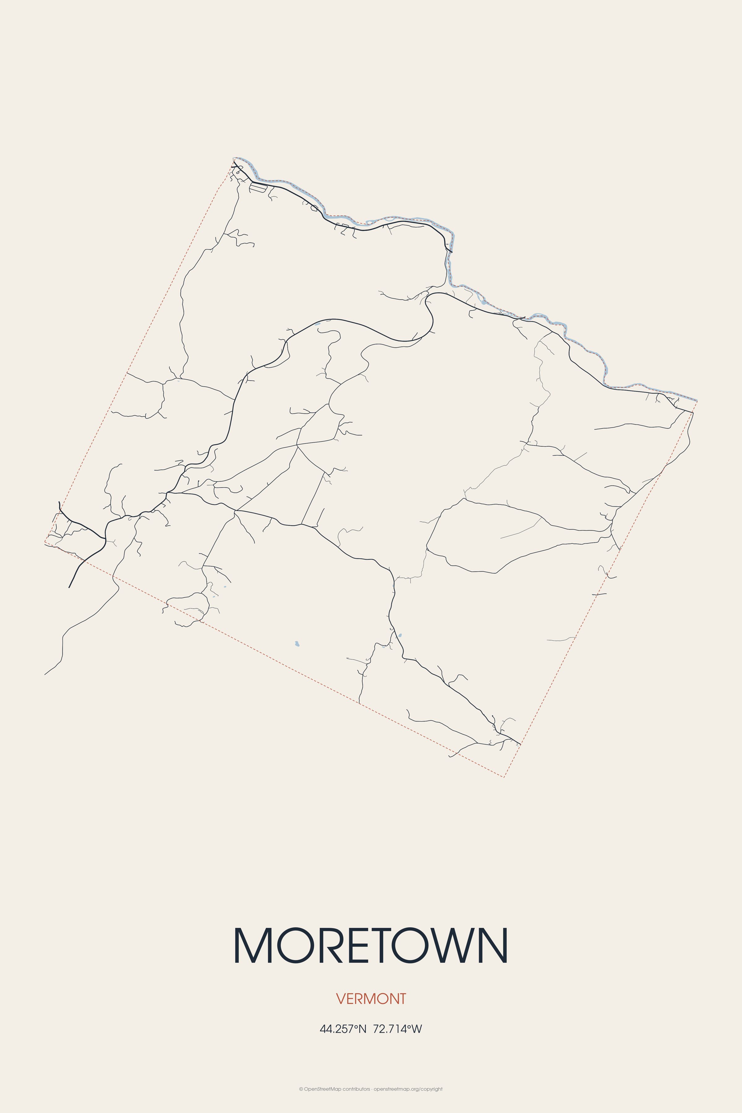
Every road in town, on archival matte paper
The same map, in navy and silver
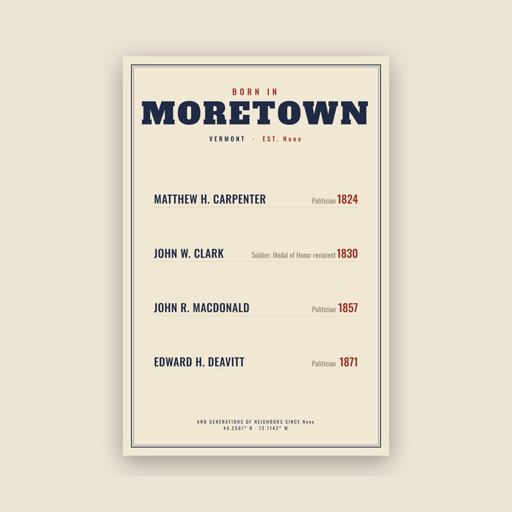
Famous natives, by birth year
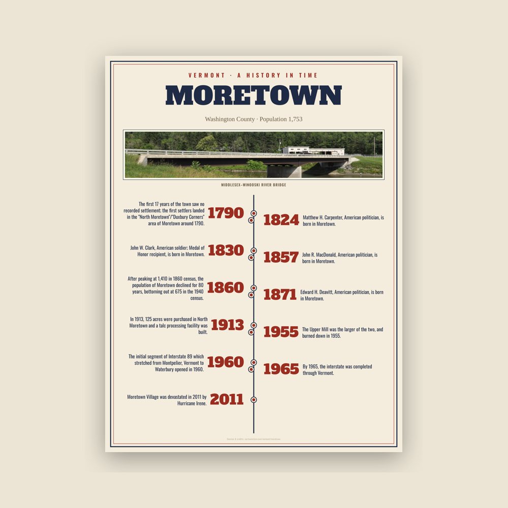
The town's story in dates, from its own records, for home or classroom
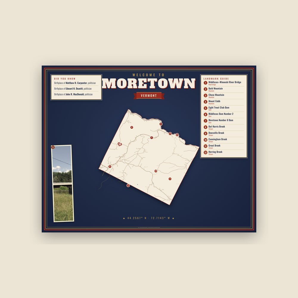
Map of local landmarks, washable fabric
Heavy-blend fleece, street map printed on the back
Soft Bella+Canvas jersey
Glossy ceramic, dishwasher safe
Ceramic keepsake, gold ribbon
Weatherproof, for the front walk
24″×16″, printed coir-look fibers, rubber back
12″×12″ printed wood, ready to hang
Soft-touch, zip cover
Sturdy all-over-print tote
Glossy top, cork back
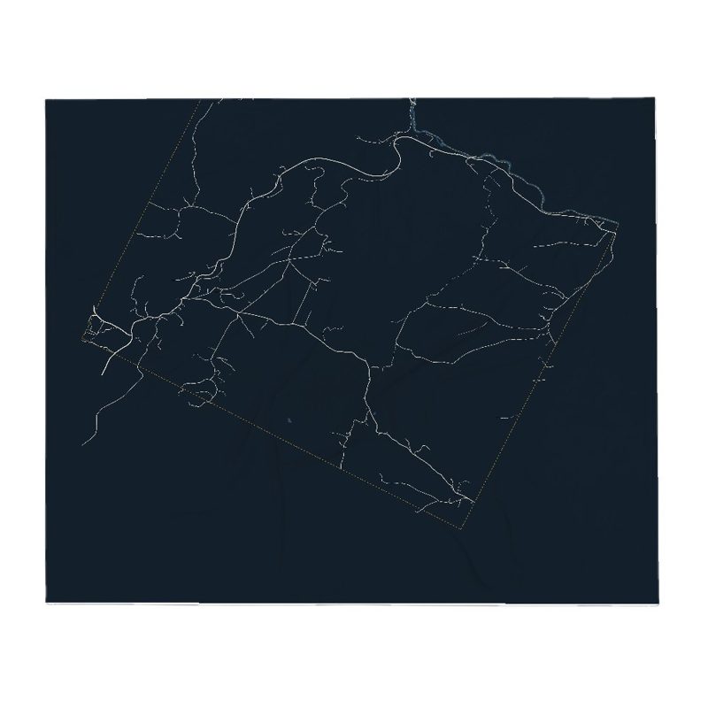
Soft fleece, 50″×60″
20 oz, double-wall stainless
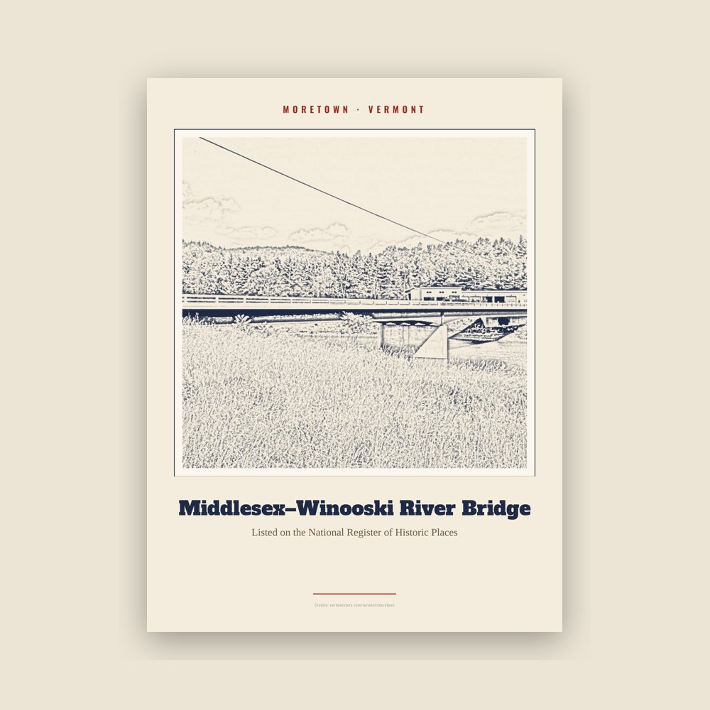
Archival matte print of a local landmark, credited to its photographer
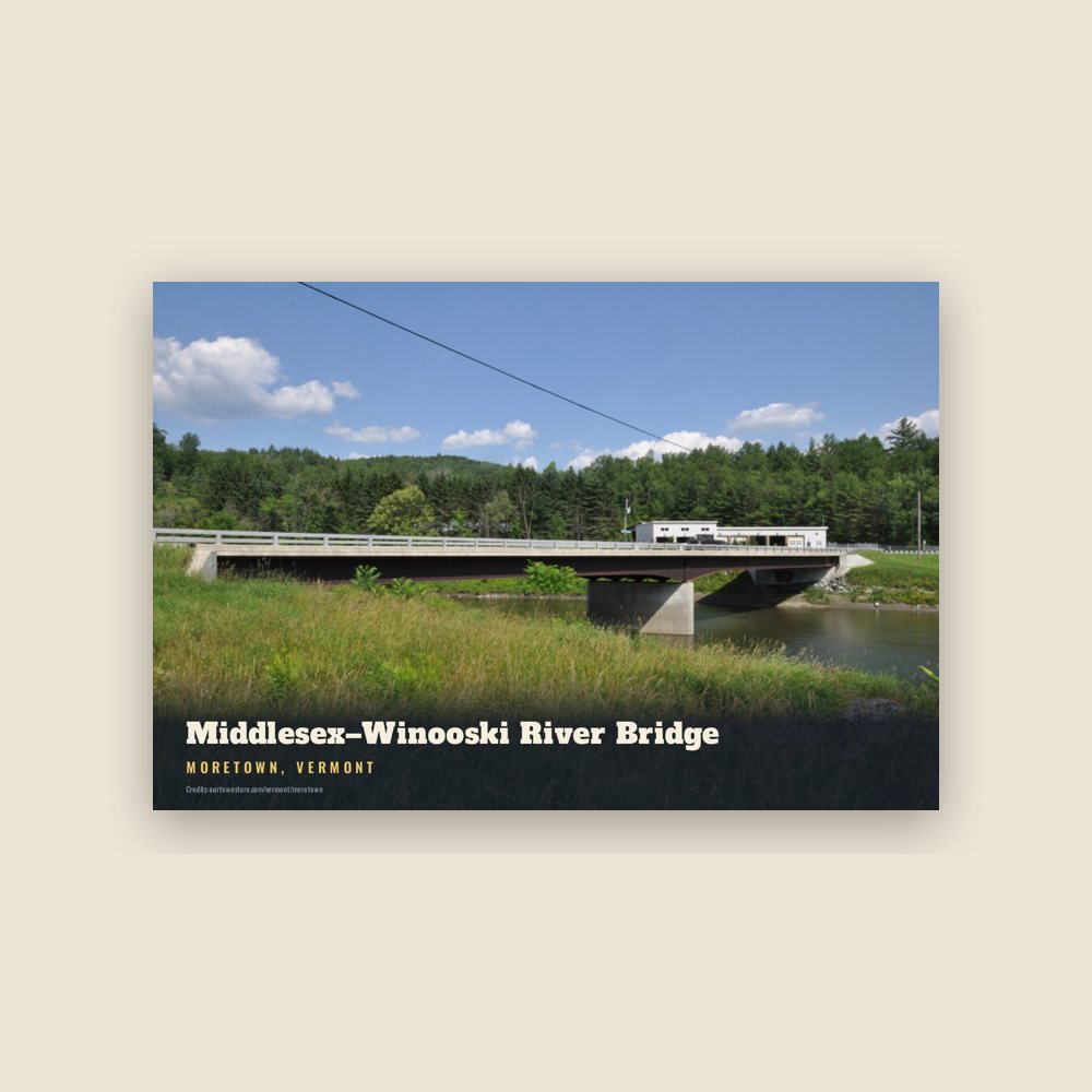
6″×4″ postcard, glossy front
Population 2010: 1,658 → 2020: 1,753
From Wikidata (CC0).
Evidence of humans living in the area which would become Moretown goes back about 11,000 years. Evidenced by a human-made fluted projectile point, which was located in Moretown near South Hill Road, dating to about 9,000 BCE.
Due to the sight-unseen nature of these charters, the town's borders cut directly across mountains, valleys, and rivers. This has the effect of creating several isolated villages and neighborhoods in Moretown, rather than a cohesive center like the nearby towns of Waitsfield, Vermont or Waterbury, Vermont.
The first 17 years of the town saw no recorded settlement; the first settlers landed in the "North Moretown"/"Duxbury Corners" area of Moretown around 1790.
The lumber industry greatly contributed to Moretown’s early growth, aided by the power and transportation provided by the Mad River (Vermont) and the Winooski River.
The landscape in the mid-1800s was starkly different to the landscape of the modern era. Almost 50 years of logging and sheep farming cleared away massive tracts of native forest. Hill farming was a common practice in this era, with remnants of their stone walls still scattered throughout the forested hills of Moretown.
By the 1860s, Moretown had transformed into town dotted with commerce: including 2 general stores, 3 blacksmith shops, a hotel, harness shop, a door and window maker, a box factory, 2 carriage and sleigh shops, a dressmaker, 2 milliners, a goldsmith and a tinsmith.
After peaking at 1,410 in 1860 census, the population of Moretown declined for 80 years, bottoming out at 675 in the 1940 census.
After the conclusion of the Civil War, dairy farming became more central to the economy of Moretown. This led to many hill farmers to move westward in search of more productive land. Others still left in search of cities where industry was booming.
The exodus was further exacerbated with the completion of the railroad and telegraph lines in the 1860s and 1870s. This made learning of and reaching opportunities out in the west much easier.
The Ward family established a lumber and milling business in the 1870s that became the primary employer in Moretown for many decades. They mainly constructed boxes, clapboards, and furniture components at two separate facilities. The "Upper Mill" and the "Lower Mill". The Upper Mill was the larger of the two, and burned down in 1955.
However, many residents were not able to purchase or make use of electricity for decades, and it was instead transmitted to larger cities like New York City or Boston.
In 1913, 125 acres were purchased in North Moretown and a talc processing facility was built. To this day, the old structure remains a town landmark in disrepair.
The initial segment of Interstate 89 which stretched from Montpelier, Vermont to Waterbury opened in 1960. By 1965, the interstate was completed through Vermont. Interstate highways made a visit to Vermont a day trip for millions of people living in southern New England and New York, greatly expanding the role of tourism in the state’s economy.
Moretown Village was devastated in 2011 by Hurricane Irene. More than 60 homes and buildings flooded, including the post office, the town offices, the church, the school and the fire station.
Adapted (trimmed) from the Wikipedia article Moretown, Vermont, revision 1371634498 by its contributors, licensed CC BY-SA 4.0.
We share a part of every Moretown sale with local partners, and we'd love to print from your collection. Old photographs, maps and postcards make the best keepsakes.
Partner with us