Cart 0
Umatilla County, Umatilla, Oregon

UMATILLA

Oregon
Shop the collection

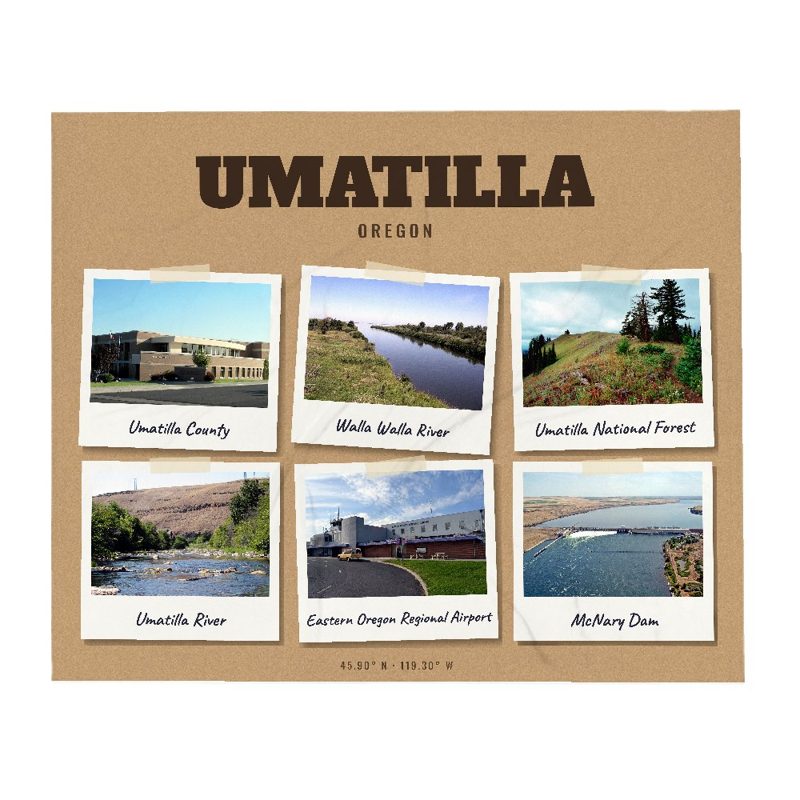
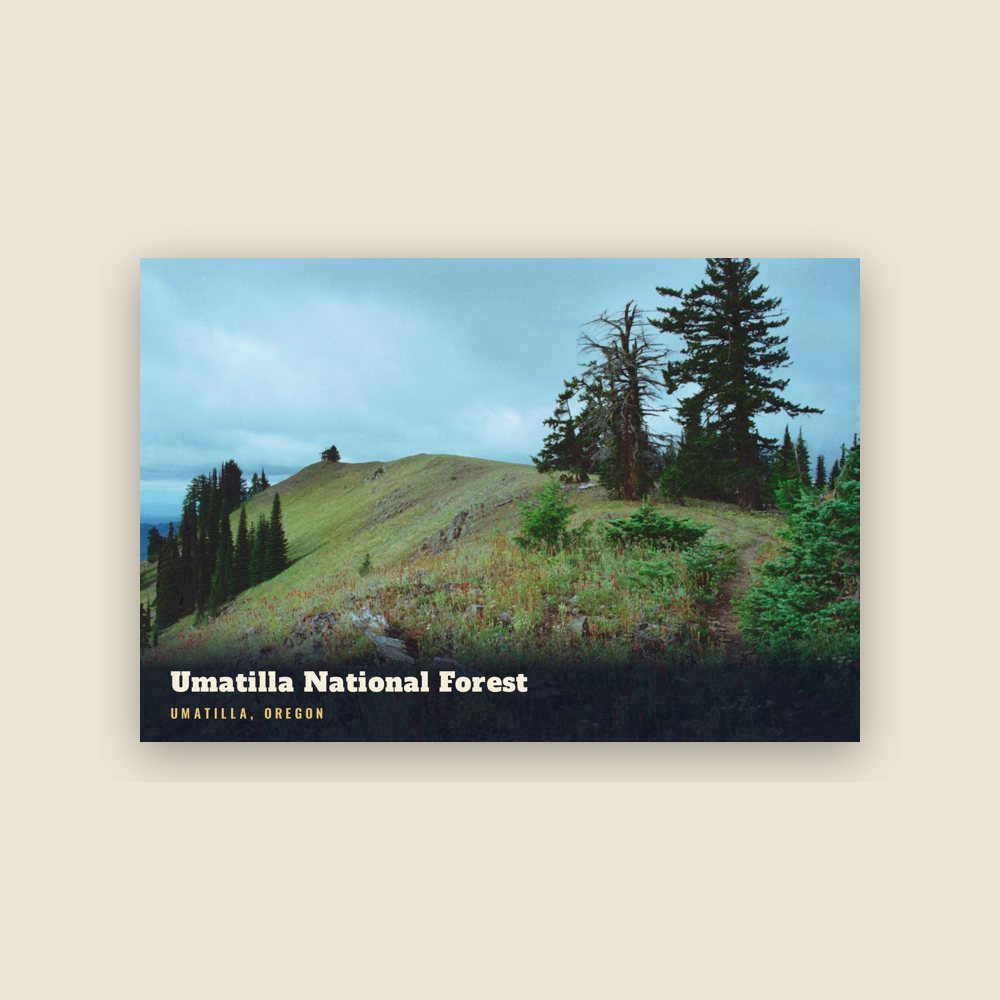
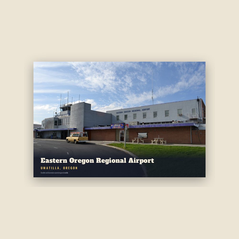
The first Umatilla post office was established in September 1851 at the Umatilla Indian Agency about 5 miles (8 km) east of Pendleton, but was discontinued in January 1852. Landmarks include Umatilla County, Umatilla National Forest and Eastern Oregon Regional Airport. Umatilla is the birthplace of Shoni Schimmel, basketball player.

The Umatilla Collection

Made for Umatilla. Printed to order.

Umatilla, Oregon gifts and souvenirs: 37 designs made from Umatilla's own map, landmarks and history, from $10 to $99. Printed to order and shipped free in the USA.

PopularPrice
Umatilla Hometown Ornament$23
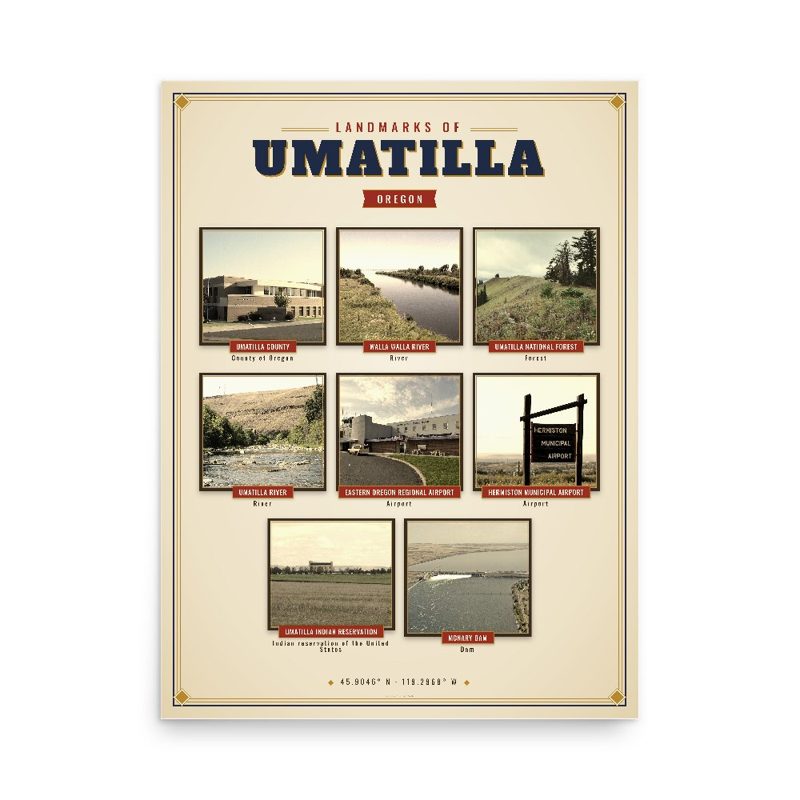
Umatilla Landmarks Photo Posterfrom $40
Umatilla Vintage Travel Posterfrom $40
Umatilla Varsity Crewneckfrom $57
Umatilla Est. Teefrom $33
Umatilla Town Line Mugfrom $26
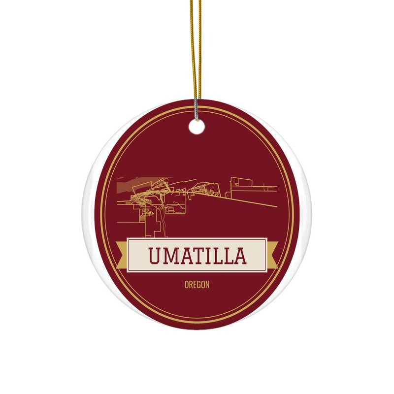
Umatilla Hometown Ornament

Umatilla Hometown Ornament

Ceramic keepsake, gold ribbon

$23
Umatilla Landmarks Photo Poster

Umatilla Landmarks Photo Poster

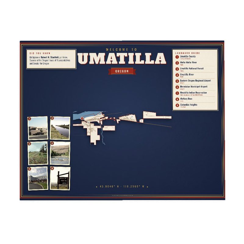
Nine local landmarks, archival matte

from $40
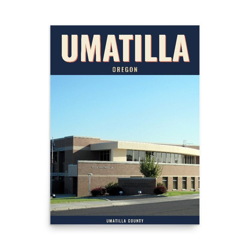
Umatilla Vintage Travel Poster

Umatilla Vintage Travel Poster

Its landmark photo in a classic travel-poster layout

from $40
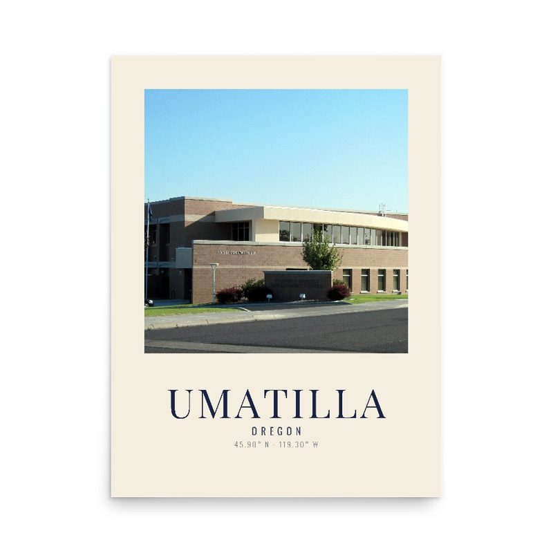
Umatilla Photo Art Print

Umatilla Photo Art Print

A local landmark photo as a gallery print

from $40
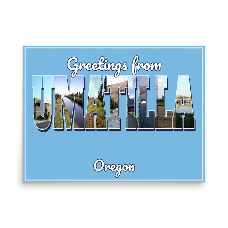
Umatilla “Greetings From” Poster

Umatilla “Greetings From” Poster

Classic large-letter postcard art, filled with local photos

from $40
Umatilla Snapshot Collage Poster

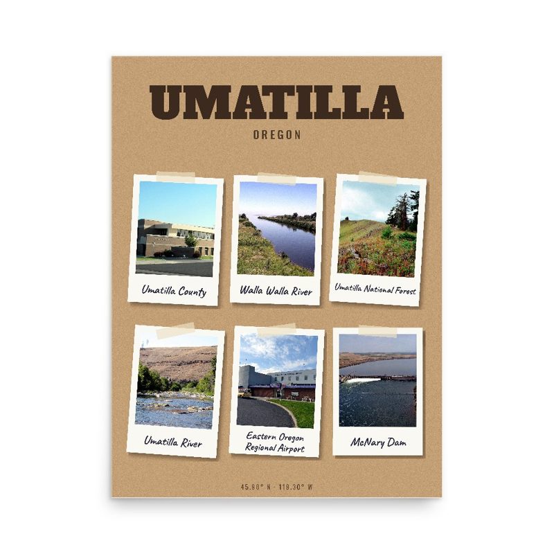
Umatilla Snapshot Collage Poster

Six local landmarks as instant photos on kraft paper

from $40
Umatilla History Timeline Poster

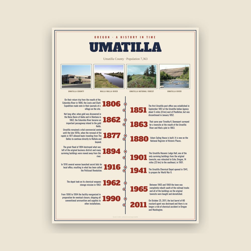
Umatilla History Timeline Poster

The town's story in dates, from its own records, for home or classroom

from $44
Umatilla Map Placemat

Umatilla Map Placemat

Map of local landmarks, washable fabric

$31
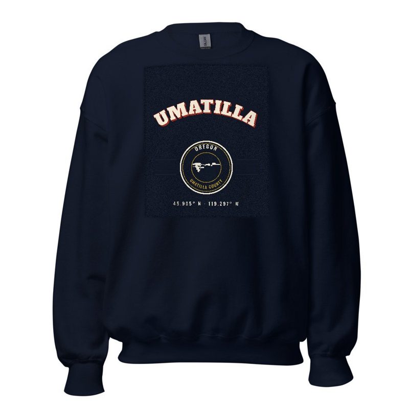
Umatilla Varsity Crewneck

Umatilla Varsity Crewneck

Heavy-blend fleece, street map printed on the back

from $57
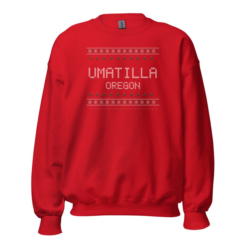
Umatilla Hometown Knit Sweater

Umatilla Hometown Knit Sweater

Red heavy-blend crewneck, knit-stitch town print

from $57
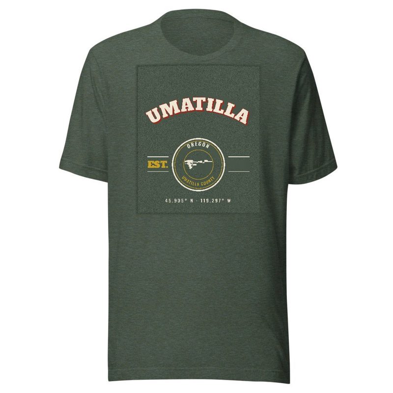
Umatilla Est. Tee

Umatilla Est. Tee

Soft Bella+Canvas jersey

from $33
Umatilla Est. Youth Tee

Umatilla Est. Youth Tee

Kids' Bella+Canvas jersey, youth sizes

$30
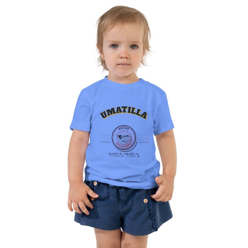
Umatilla Est. Toddler Tee

Umatilla Est. Toddler Tee

Bella+Canvas toddler jersey

$29
Umatilla Est. Baby One Piece

Umatilla Est. Baby One Piece

Bella+Canvas baby bodysuit

$30
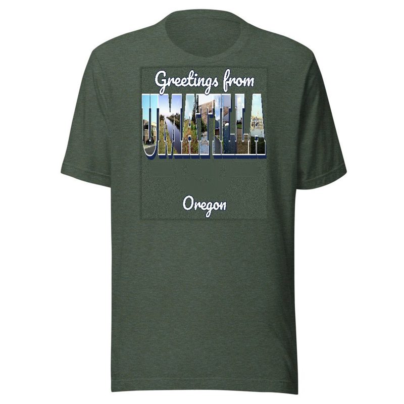
Umatilla “Greetings From” Tee

Umatilla “Greetings From” Tee

Large-letter postcard art filled with local photos

from $35
Umatilla Town Line Mug

Umatilla Town Line Mug

Glossy ceramic, dishwasher safe

from $26
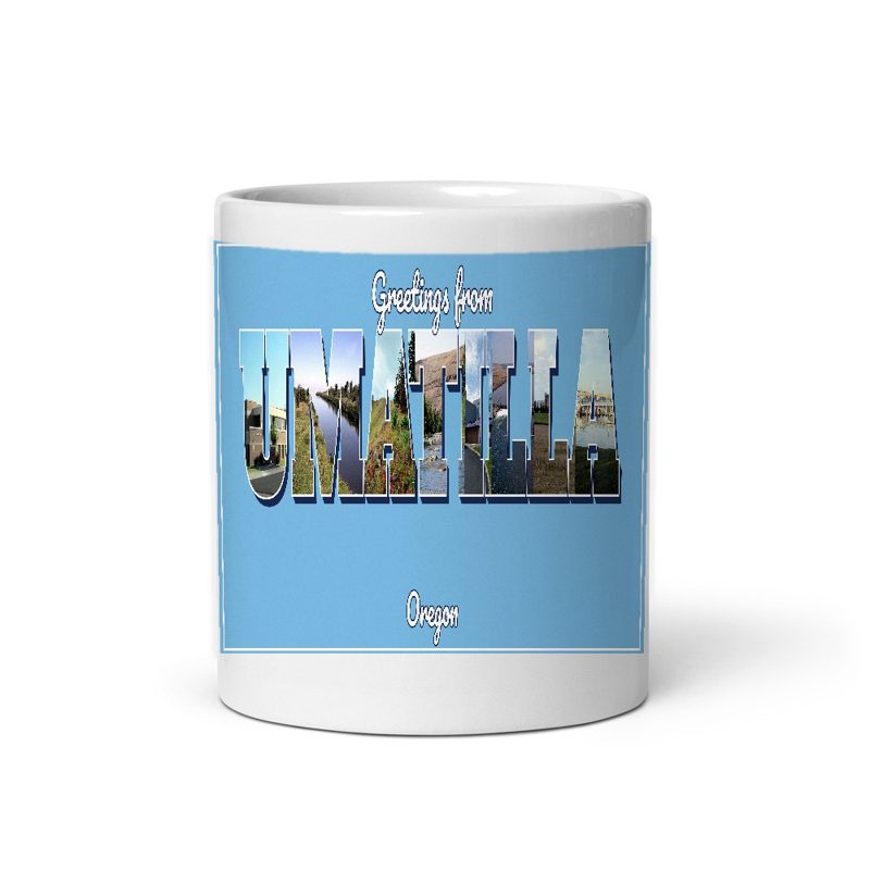
Umatilla “Greetings From” Mug

Umatilla “Greetings From” Mug

Large-letter postcard art filled with local photos, 11 oz ceramic

from $29
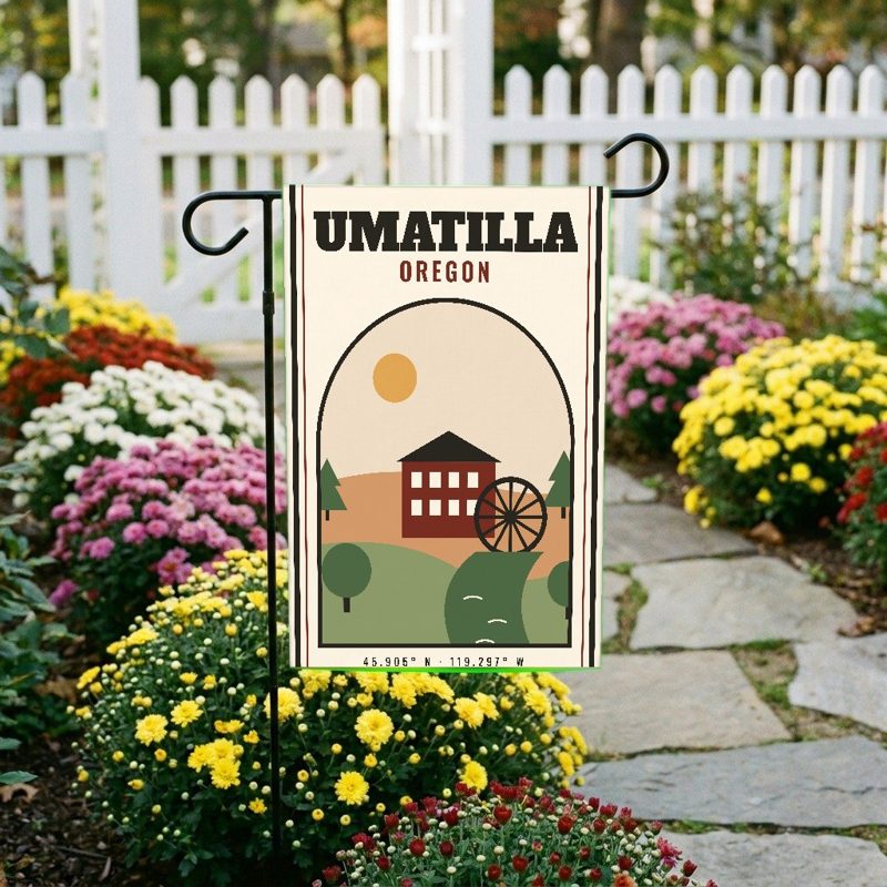
Umatilla Garden Flag

Umatilla Garden Flag

Weatherproof, for the front walk

$31
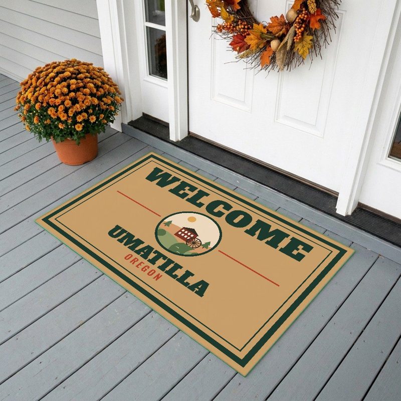
Umatilla Welcome Doormat

Umatilla Welcome Doormat

24″×16″, printed coir-look fibers, rubber back

$66
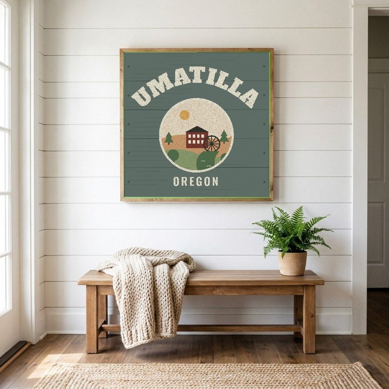
Umatilla Hometown Wood Sign

Umatilla Hometown Wood Sign

12″×12″ printed wood, ready to hang

$48
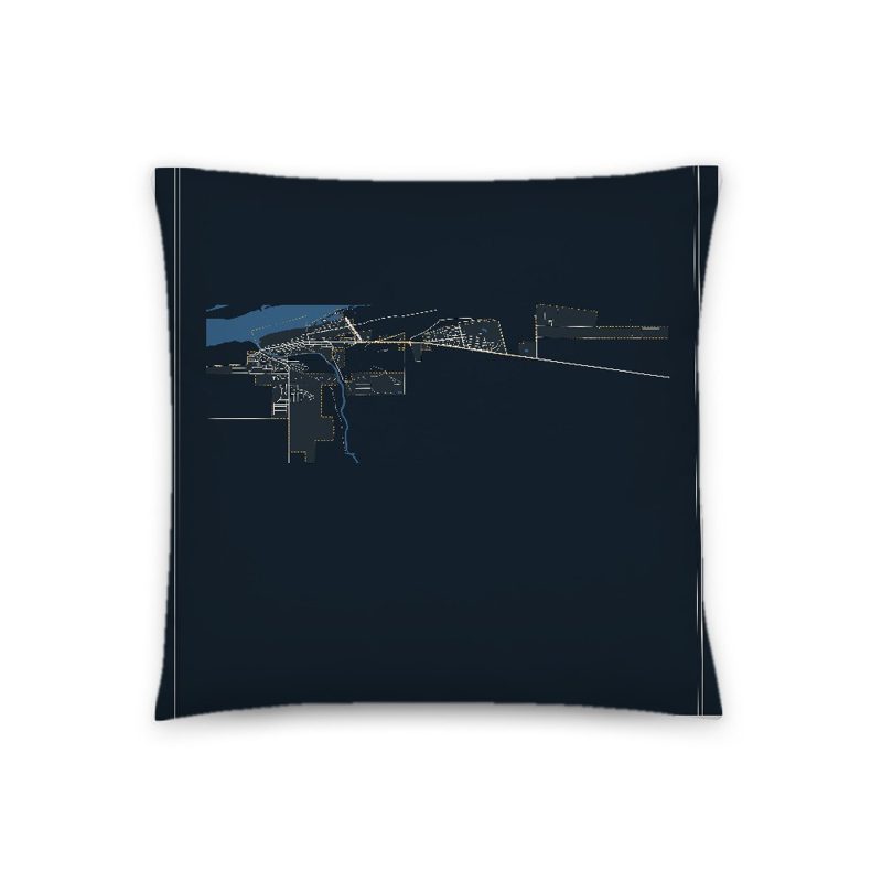
Umatilla Map Throw Pillow

Umatilla Map Throw Pillow

Soft-touch, zip cover

$47
Umatilla Landmark Photo Pillow

Umatilla Landmark Photo Pillow

A local landmark photo with the town name, 18″×18″

$49
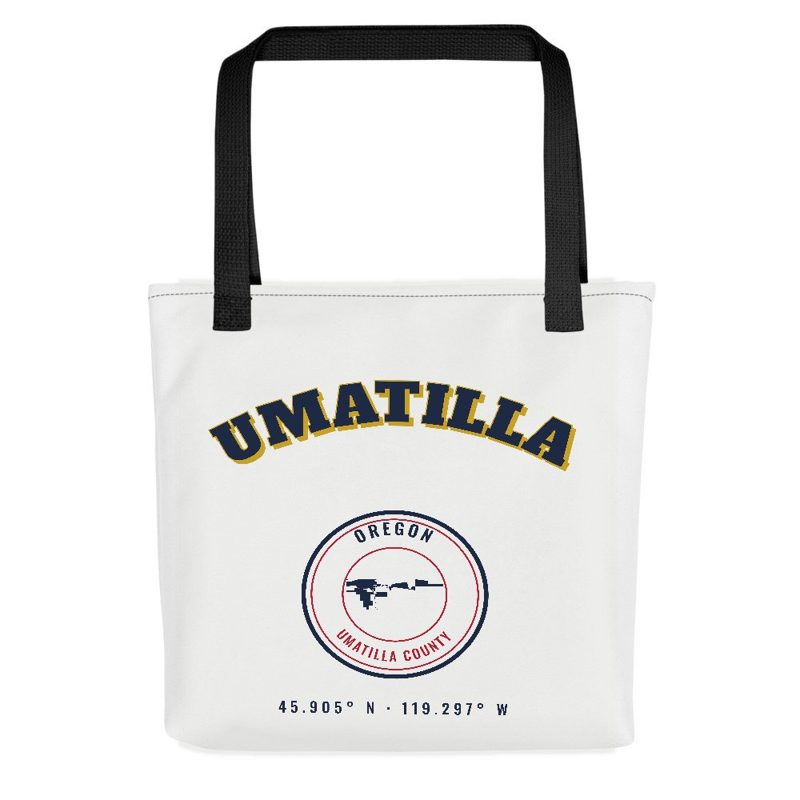
Umatilla Market Tote

Umatilla Market Tote

Sturdy all-over-print tote

$37
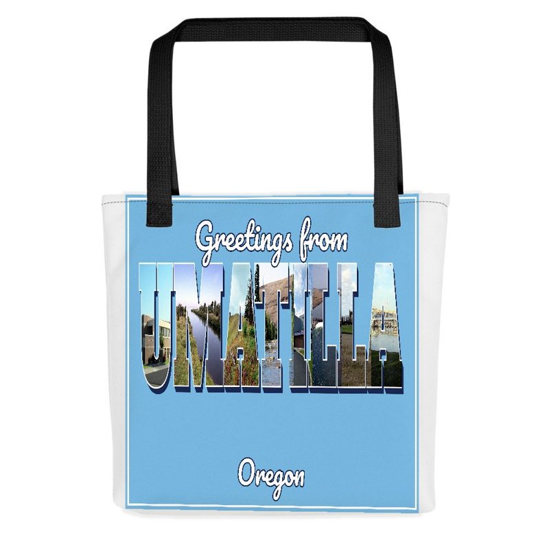
Umatilla “Greetings From” Tote

Umatilla “Greetings From” Tote

Large-letter postcard art on a sturdy tote

$37
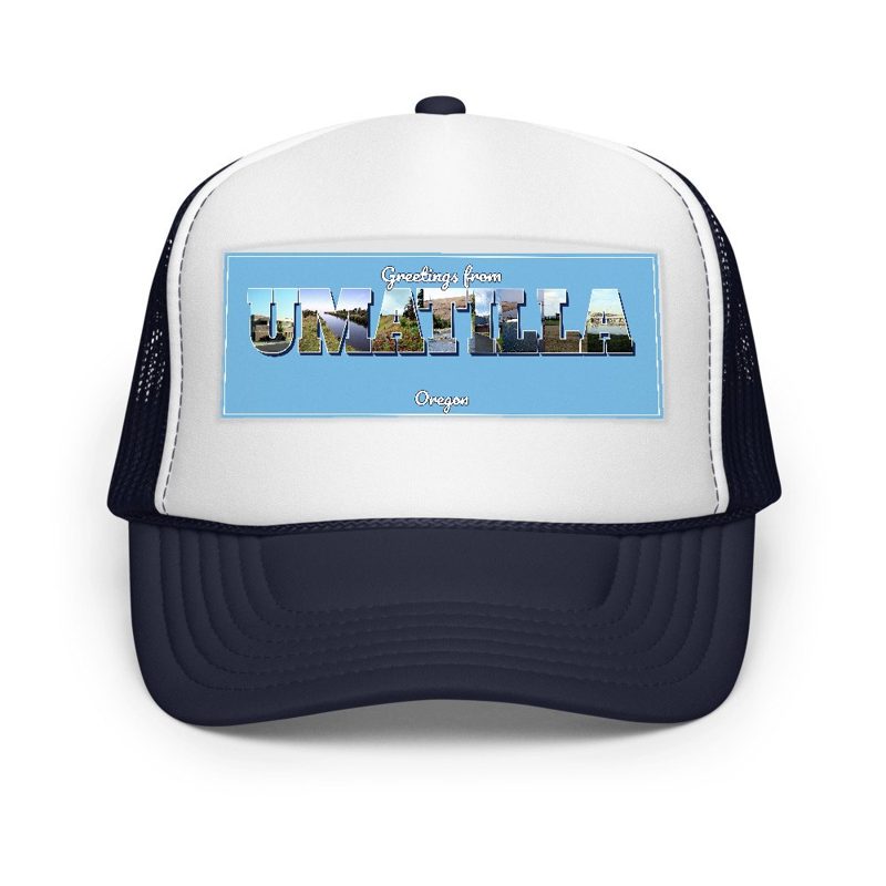
Umatilla “Greetings From” Trucker Cap

Umatilla “Greetings From” Trucker Cap

Foam-front trucker, printed (not embroidered) with local photos

$33
Umatilla Cork Coaster

Umatilla Cork Coaster

Glossy top, cork back

$16
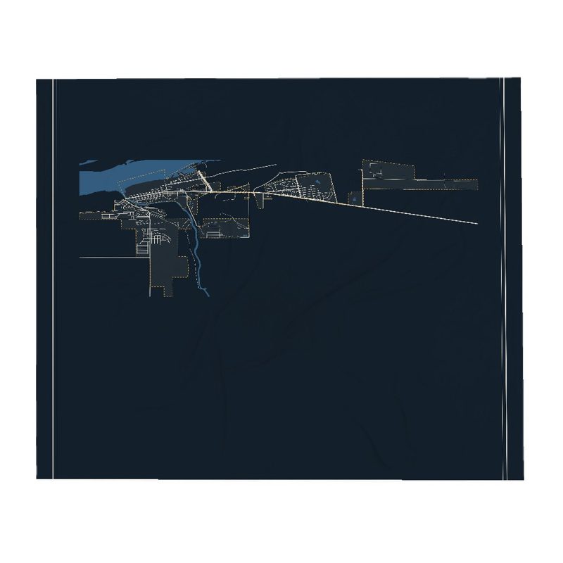
Umatilla Street Map Throw Blanket

Umatilla Street Map Throw Blanket

Soft fleece, 50″×60″

from $72
Umatilla Snapshot Collage Blanket

Umatilla Snapshot Collage Blanket

Six local landmarks as instant photos, soft fleece 50″×60″

from $76
Umatilla Est. Tumbler

Umatilla Est. Tumbler

20 oz, double-wall stainless

$51
Umatilla Umatilla County Postcard

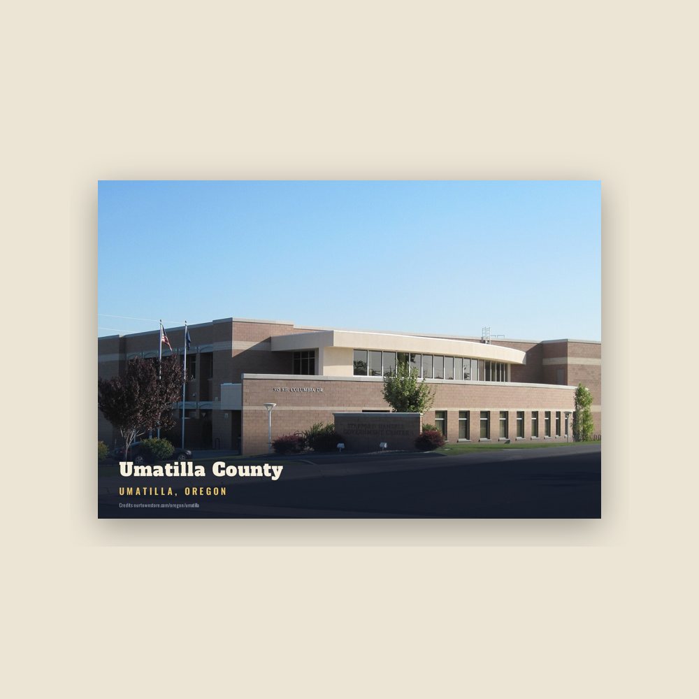
Umatilla Umatilla County Postcard

6″×4″ postcard, glossy front

$10
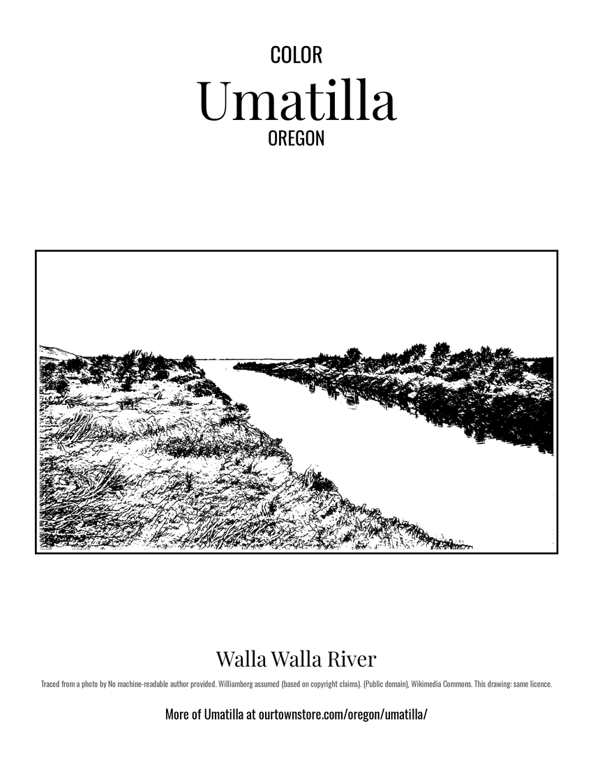
Umatilla Walla Walla River Postcard

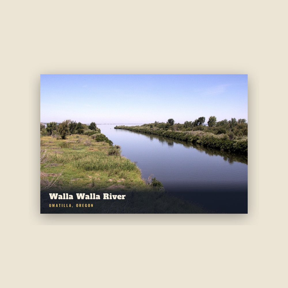
Umatilla Walla Walla River Postcard

6″×4″ postcard, glossy front

$10
Umatilla Umatilla National Forest Postcard

Umatilla Umatilla National Forest Postcard

6″×4″ postcard, glossy front

$10
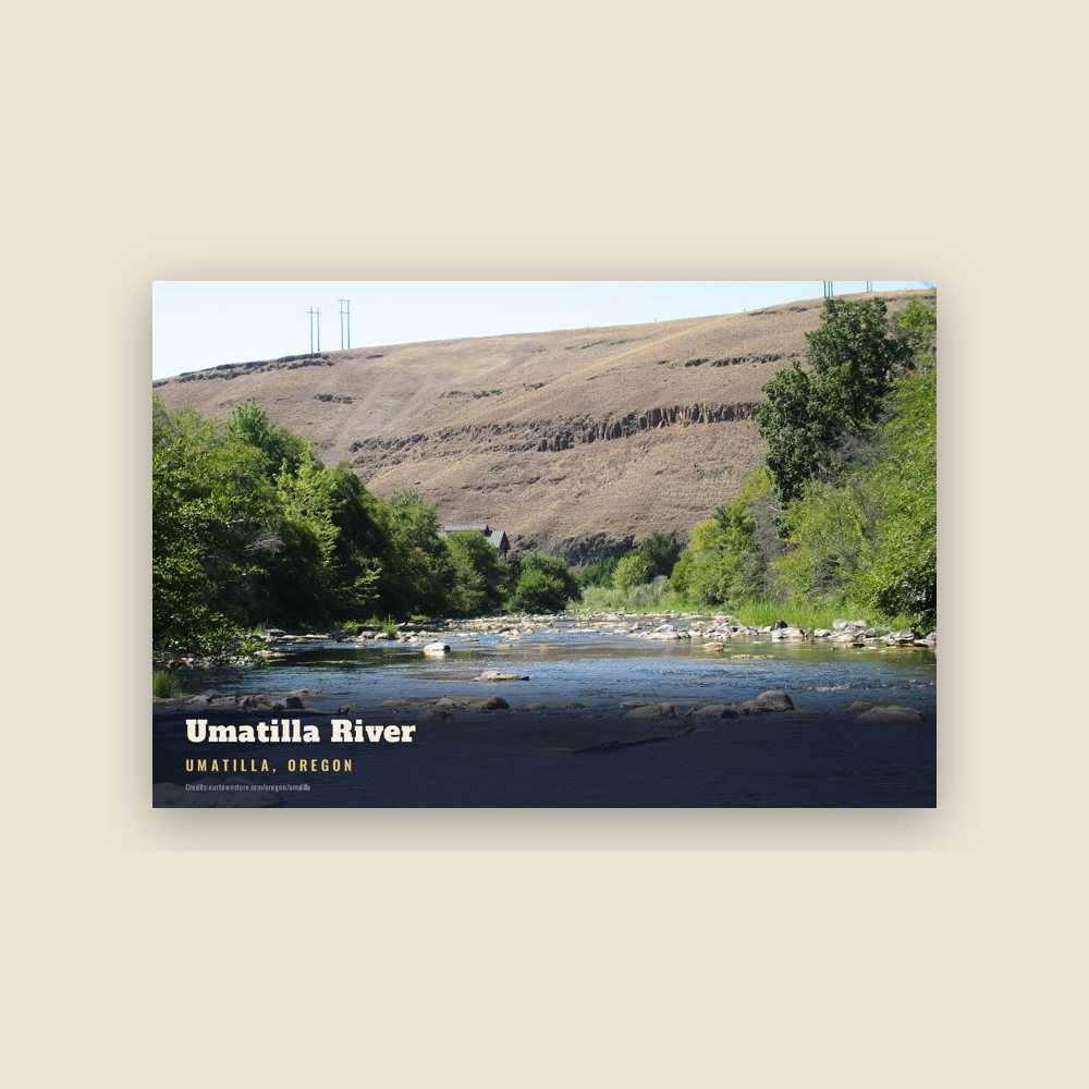
Umatilla Umatilla River Postcard

Umatilla Umatilla River Postcard

6″×4″ postcard, glossy front

$10
Umatilla Eastern Oregon Regional Airport Postcard

Umatilla Eastern Oregon Regional Airport Postcard

6″×4″ postcard, glossy front

$10
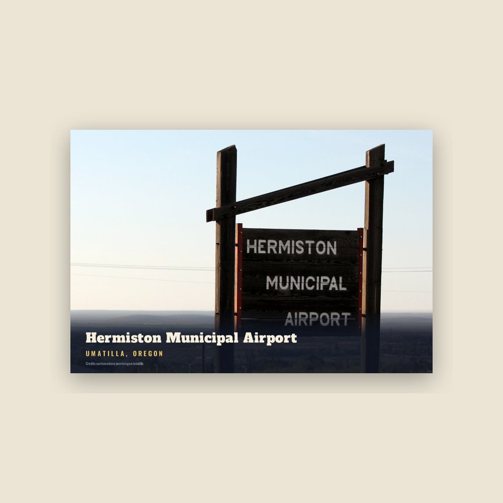
Umatilla Hermiston Municipal Airport Postcard

Umatilla Hermiston Municipal Airport Postcard

6″×4″ postcard, glossy front

$10
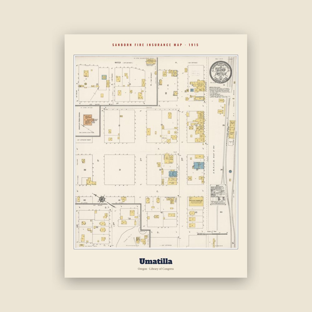
Umatilla Sanborn Map Print

Umatilla Sanborn Map Print

The town's earliest Sanborn fire-insurance map, drawn building by building and hand-coloured, from the Library of Congress

from $44
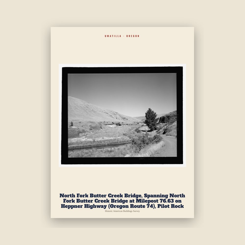
Umatilla North Fork Butter Creek Bridge, Spanning North Fork Butter Creek Bridge at Milepost 76.63 on Heppner Highway (Oregon Route 74), Pilot Rock Archive Print

Umatilla North Fork Butter Creek Bridge, Spanning North Fork Butter Creek Bridge at Milepost 76.63 on Heppner Highway (Oregon Route 74), Pilot Rock Archive Print

From the Library of Congress collections: a historic survey drawing or photograph of the town

from $44
Hometown roll

Born in Umatilla

On the National Register

Historic places

Population 1990: 3,046 → 2000: 4,978 → 2010: 6,906 → 2020: 7,363

From Wikidata (CC0).

A short history of Umatilla

Before European settlement, the peninsula formed by the convergence of the Umatilla and Columbia rivers had been occupied by the indigenous Umatilla people for at least 10,000 years, being the site of temporary and seasonal villages, fishing and later horse breeding. On their return trip from the mouth of the Columbia River in 1806, the Lewis and Clark Expedition made note in their journals of a village on the site.

The first Umatilla post office was established in September 1851 at the Umatilla Indian Agency about 5 miles (8 km) east of Pendleton, but was discontinued in January 1852. The Umatilla Indian Reservation was created in 1855 after the Walla Walla Council treaty and many of the Umatilla, Cayuse and Walla Walla tribes relocated there, with the vast majority of their lands being given over to the US government. Not long after, when gold was discovered in the Boise Basin of Idaho and in Montana in 1862, the Columbia River became an important passageway inland to the gold fields. That same year Timothy K. Davenport surveyed for a townsite at the mouth of the Umatilla River and filed a plat in 1863. The site was chosen for its location just below the Umatilla Rapids, which formed a navigational headwater on the Columbia and prevented boats from traveling further upstream without needing to be portaged or needing their cargo transferred to a new boat above the rapids. The site was first known as Umatilla Landing, then Umatilla City, then Columbia, reverting to Umatilla City once again over the next year or so. Its post office was established in 1863 with Z. F. Moody as postmaster.

Umatilla quickly became an important trade and distribution center not just for gold rush travelers but for the growing population of farmers and ranchers in the surrounding region. A business district developed along Water Street at the river's edge and at the town's peak it had 3 hotels, 22 saloons, 6 mercantiles and 3 grocery stores, among others. It won the county seat of Umatilla County by a small margin on March 6, 1865, but would only remain so until 1868 when it was moved to the burgeoning village of Pendleton. That same year the first newspaper (a tri-weekly) was established. For a brief time during the gold rush in the 1860s, there was competition between Umatilla and Wallula, Washington, to become the "Sacramento of the Upper Columbia" but the gold rush wouldn't last long enough to support either town's growth beyond frontier villages.

Umatilla remained a vital commercial center until the late 1870s, when the removal of the rapids in 1877 allowed boats traveling from The Dalles to continue directly to Wallula and beyond. The following year the Oregon Steam Navigation Company began construction of a narrow gauge railroad that would connect Umatilla to the agricultural inland, passing from Pendleton to Weston. The great flood of 1894 destroyed what was left of the original business district and many surviving buildings were moved away from the river. The Umatilla Masonic Lodge Hall, one of the only surviving buildings from the original townsite, was relocated to Echo, Oregon, 14 miles (23 km) to the southeast, in 1901. By the early 1910s, Umatilla was making a resurgence as an agricultural center and distribution point and a new business district was established along 3rd and 4th streets, facing away from the river and towards the railroad tracks. Once again the town would gain several hotels and even a bank. In 1916 several women launched secret bids for local office, resulting in what has been called the Petticoat Revolution.

The Umatilla Chemical Depot opened in 1941, to prepare for World War II. The depot's mission was to store and maintain a variety of military items, from blankets to ammunition. The depot took on its chemical weapons storage mission in 1962. From 1990 to 1994 the facility reorganized in preparation for eventual closure, shipping all conventional ammunition and supplies to other installations. On October 25, 2011, the last barrel of HD mustard agent was destroyed and there is no longer a risk of chemical accident in Oregon and Washington.

The original townsite of Umatilla was abandoned completely when the United States Corps of Engineers determined that it would likely be inundated by the construction of the John Day Dam. Between 1965 and 1968 the town was completely rebuilt south of the railroad tracks and all of the buildings on the original townsite were bought and demolished. The relocation would turn out to be for naught as the water level at this point in the river was not affected by the dam's reservoir. Umatilla's original street grid can still be seen north of the railroad tracks and is now a nature preserve and protected archaeological site. It is still owned by the Corps of Engineers and is not accessible to the public.

Adapted (trimmed) from the Wikipedia article Umatilla, Oregon, revision 1377144594 by its contributors, licensed CC BY-SA 4.0.
For local organizations

Are you with a Umatilla historical society?

We share a part of every Umatilla sale with local partners, and we'd love to print from your collection. Old photographs, maps and postcards make the best keepsakes.

Partner with us
Custom orders

Want something Umatilla we don't make yet?

A favorite landmark, your street, a school or team, an anniversary gift, a different product. Tell us and we'll get back to you by email.

Free printables

Color Umatilla

9 free coloring pages of Umatilla, each traced from a photo of a local landmark. Print them at home, at school or for story hour.

Nearby

Neighboring towns

Sources

Umatilla's population was 7,363 in the 2020 U.S. Census, up from 150 in 1870.