Cart 0
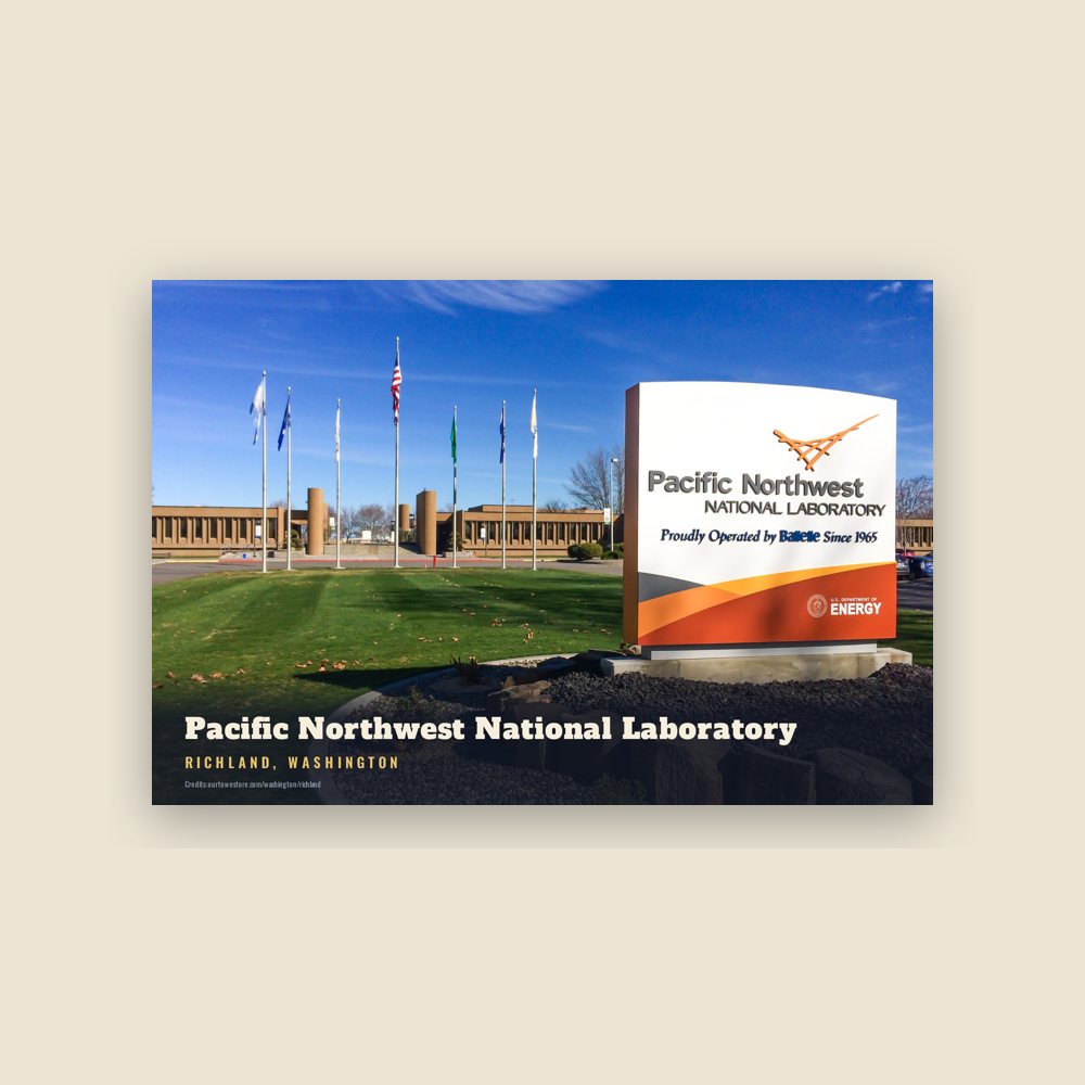
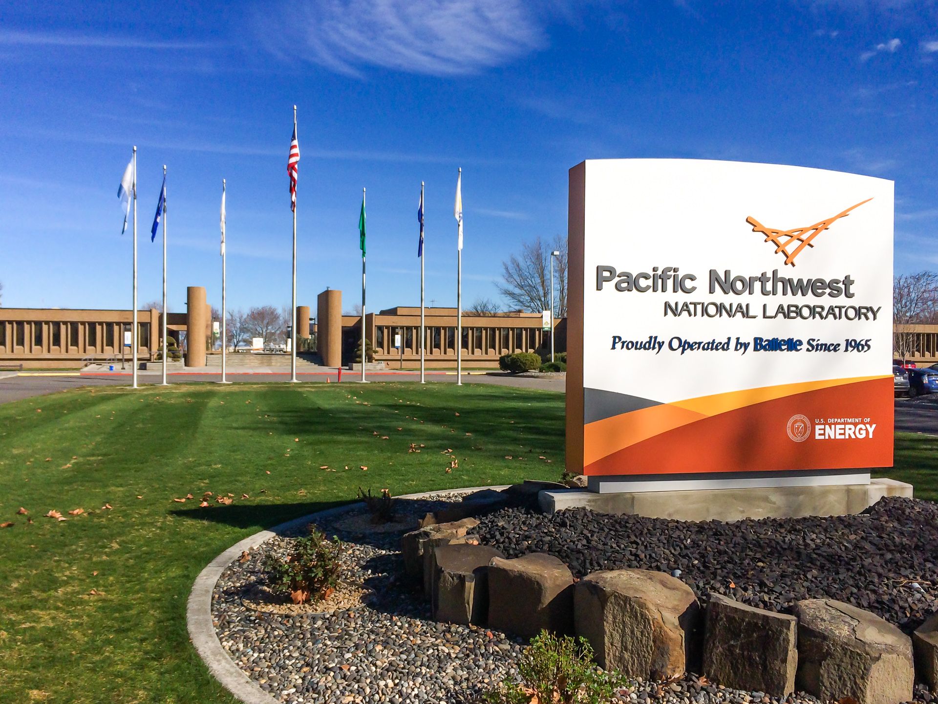
Pacific Northwest National Laboratory, Richland, Washington

RICHLAND

Washington · Est. 1910
Shop the collection

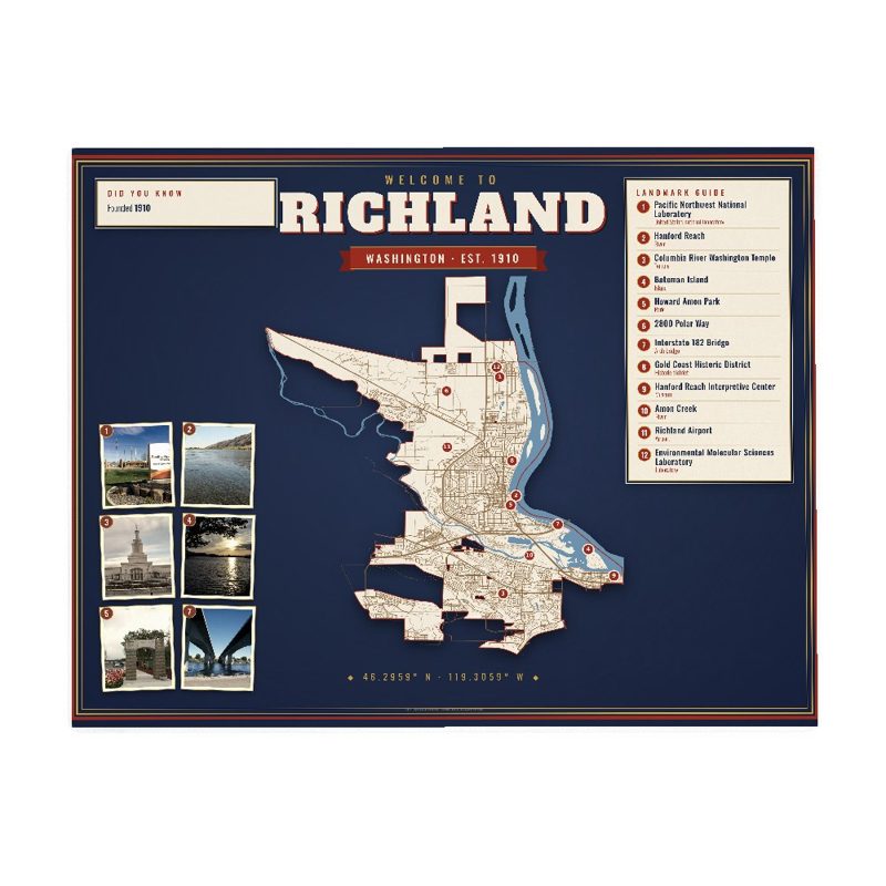
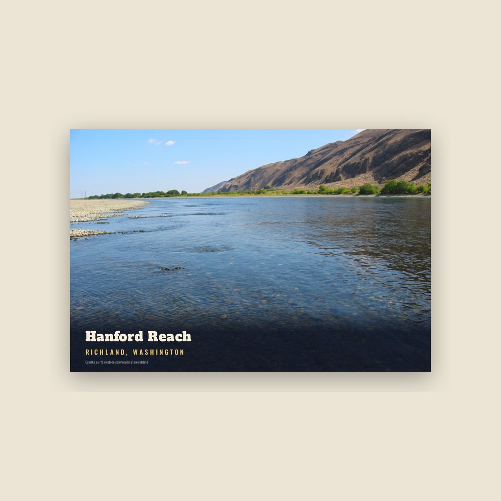
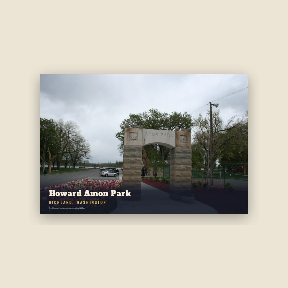
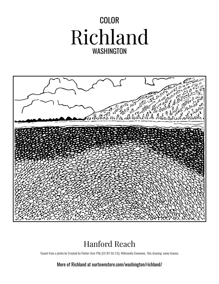
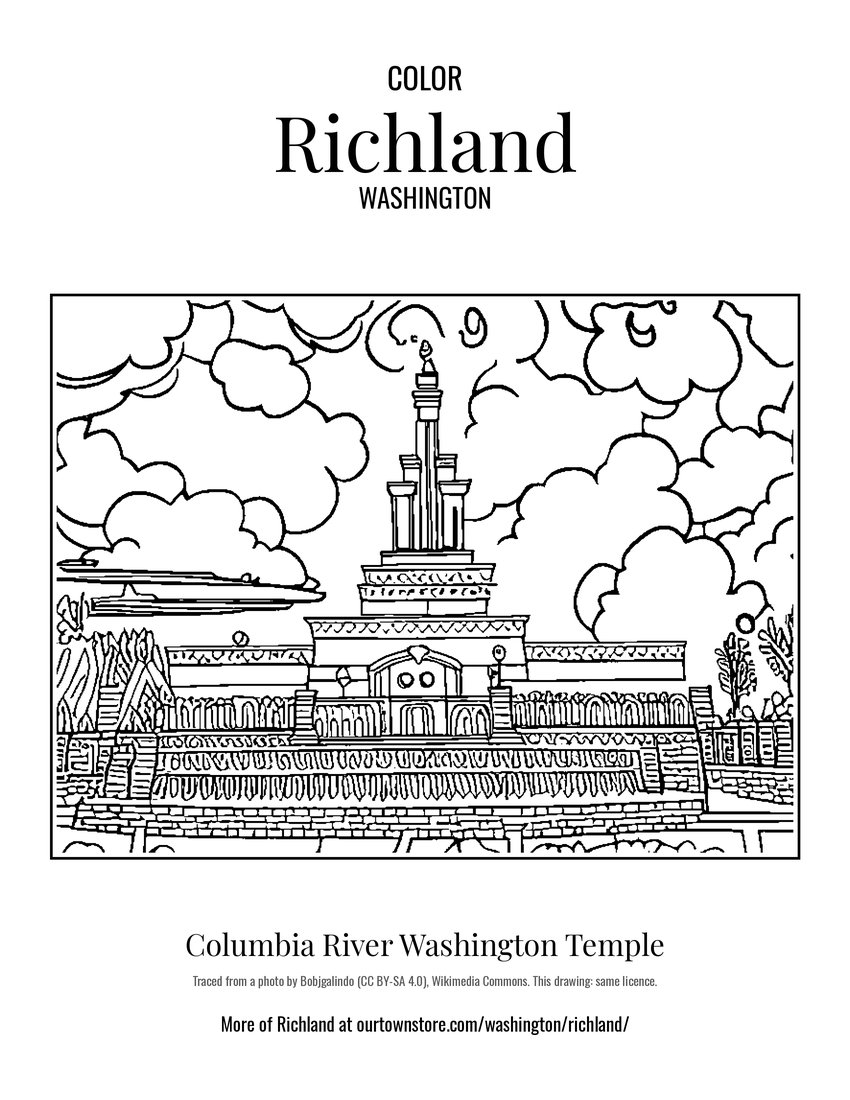
Postal authorities approved the designation of this town site as Richland in 1905, naming it for Nelson Rich, a state legislator and land developer. Landmarks include Pacific Northwest National Laboratory, Hanford Reach and Howard Amon Park. Richland is the birthplace of Orson Scott Card, science fiction novelist.

The Richland Collection

Made for Richland. Printed to order.

Richland, Washington gifts and souvenirs: 42 designs made from Richland's own map, landmarks and history, from $10 to $99. Printed to order and shipped free in the USA.

PopularPrice
Richland Hometown Ornament$23
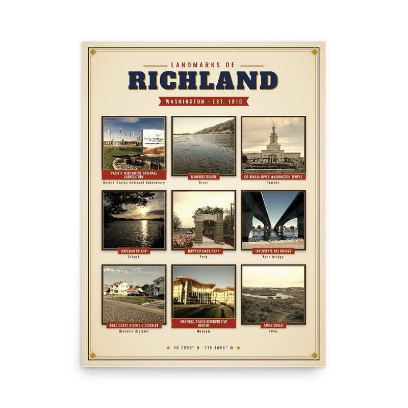
Richland Landmarks Photo Posterfrom $40
Richland Vintage Travel Posterfrom $40
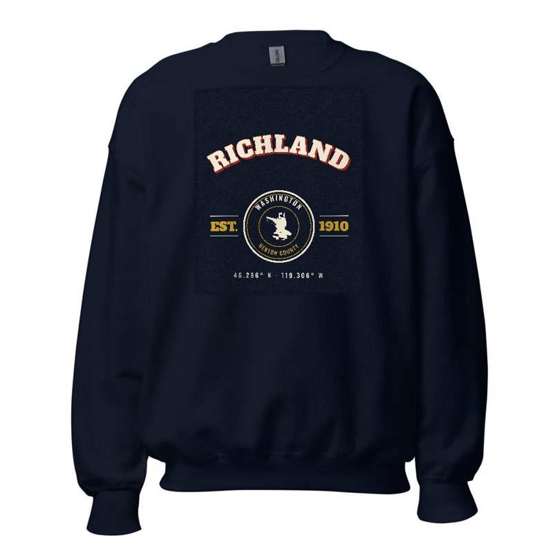
Richland Varsity Crewneckfrom $57
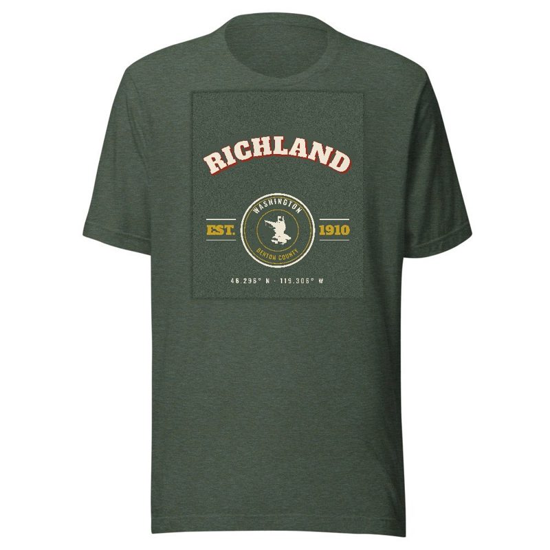
Richland Est. Teefrom $33
Richland Town Line Mugfrom $26
Richland Hometown Ornament

Richland Hometown Ornament

Ceramic keepsake, gold ribbon, in 4 styles

$23
Richland Landmarks Photo Poster

Richland Landmarks Photo Poster

Nine local landmarks, archival matte

from $40
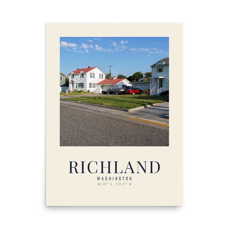
Richland Vintage Travel Poster

Richland Vintage Travel Poster

Its landmark photo in a classic travel-poster layout

from $40
Richland Photo Art Print

Richland Photo Art Print

A local landmark photo as a gallery print

from $40
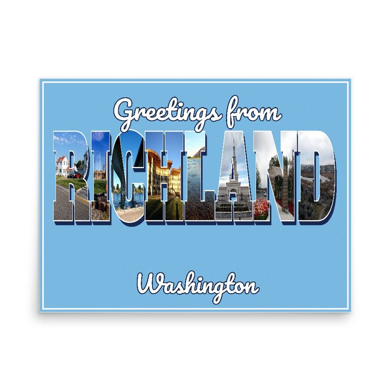
Richland “Greetings From” Poster

Richland “Greetings From” Poster

Classic large-letter postcard art, filled with local photos

from $40
Richland Snapshot Collage Poster

Richland Snapshot Collage Poster

Six local landmarks as instant photos on kraft paper

from $40
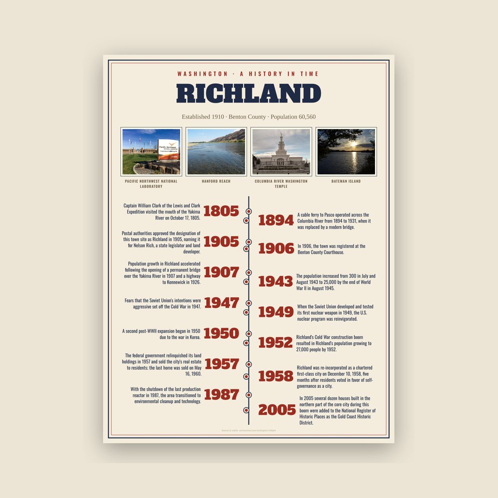
Richland History Timeline Poster

Richland History Timeline Poster

The town's story in dates, from its own records, for home or classroom

from $44
Richland Map Placemat

Richland Map Placemat

Map of local landmarks, washable fabric

$31
Richland Varsity Crewneck

Richland Varsity Crewneck

Heavy-blend fleece, street map printed on the back

from $57
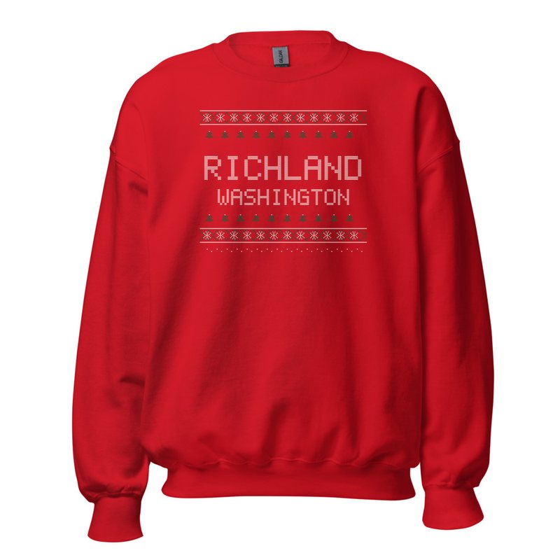
Richland Hometown Knit Sweater

Richland Hometown Knit Sweater

Red heavy-blend crewneck, knit-stitch town print

from $57
Richland Est. Tee

Richland Est. Tee

Soft Bella+Canvas jersey

from $33
Richland Est. Youth Tee

Richland Est. Youth Tee

Kids' Bella+Canvas jersey, youth sizes

$30
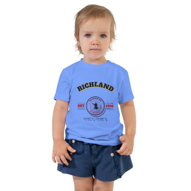
Richland Est. Toddler Tee

Richland Est. Toddler Tee

Bella+Canvas toddler jersey

$29
Richland Est. Baby One Piece

Richland Est. Baby One Piece

Bella+Canvas baby bodysuit

$30
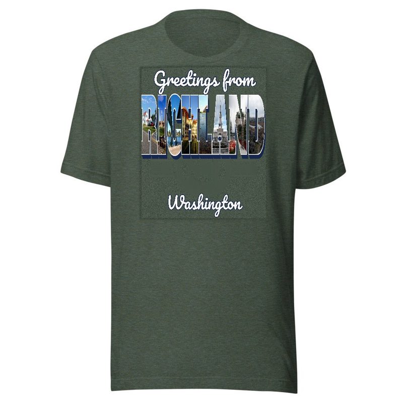
Richland “Greetings From” Tee

Richland “Greetings From” Tee

Large-letter postcard art filled with local photos

from $35
Richland Town Line Mug

Richland Town Line Mug

Glossy ceramic, dishwasher safe

from $26
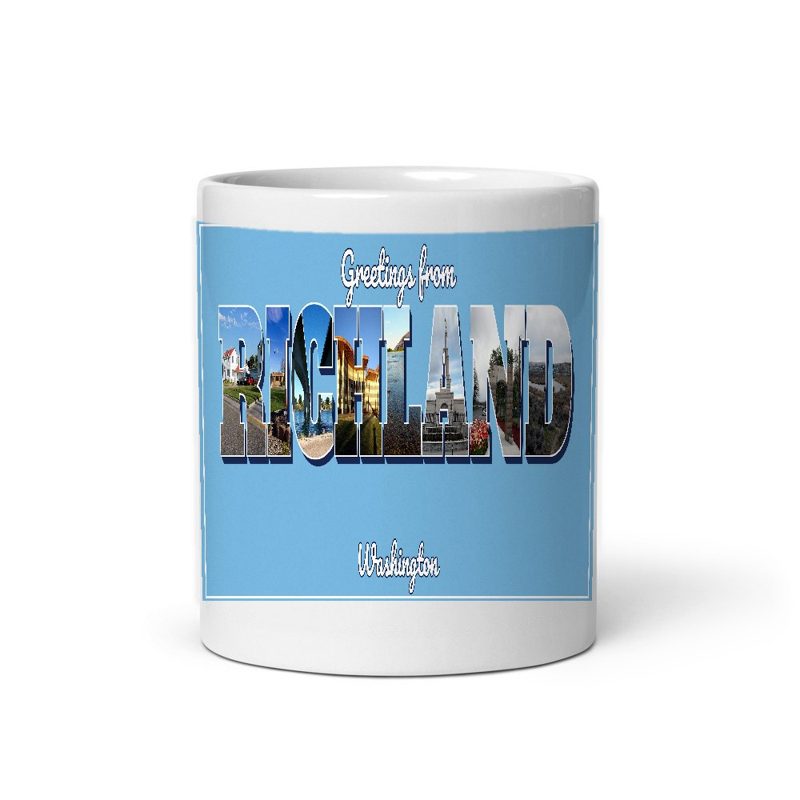
Richland “Greetings From” Mug

Richland “Greetings From” Mug

Large-letter postcard art filled with local photos, 11 oz ceramic

from $29
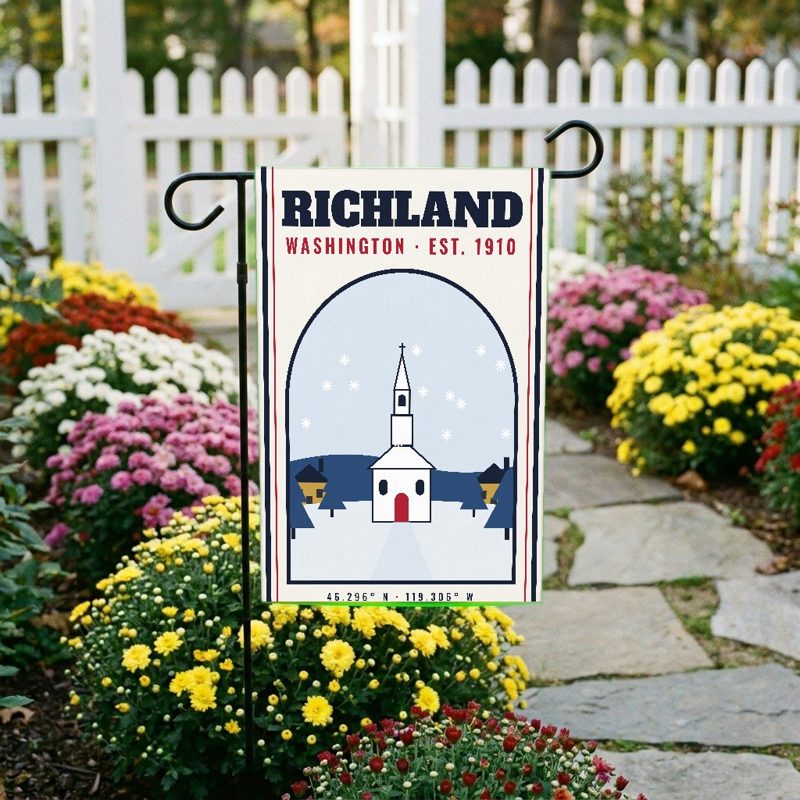
Richland Garden Flag

Richland Garden Flag

Weatherproof, for the front walk

$31
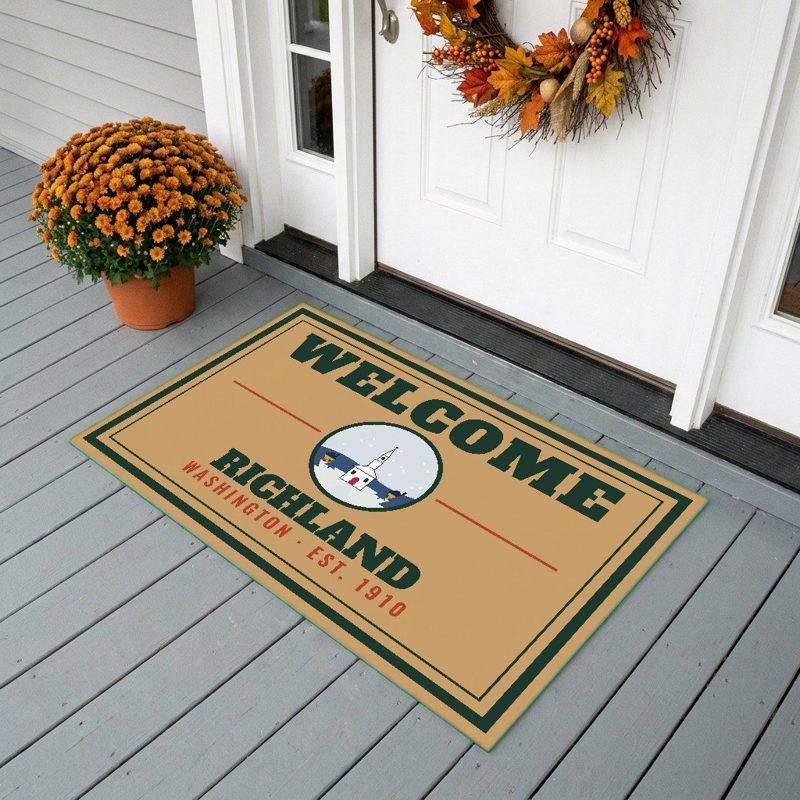
Richland Welcome Doormat

Richland Welcome Doormat

24″×16″, printed coir-look fibers, rubber back

$66
Richland Hometown Wood Sign

Richland Hometown Wood Sign

12″×12″ printed wood, ready to hang

$48
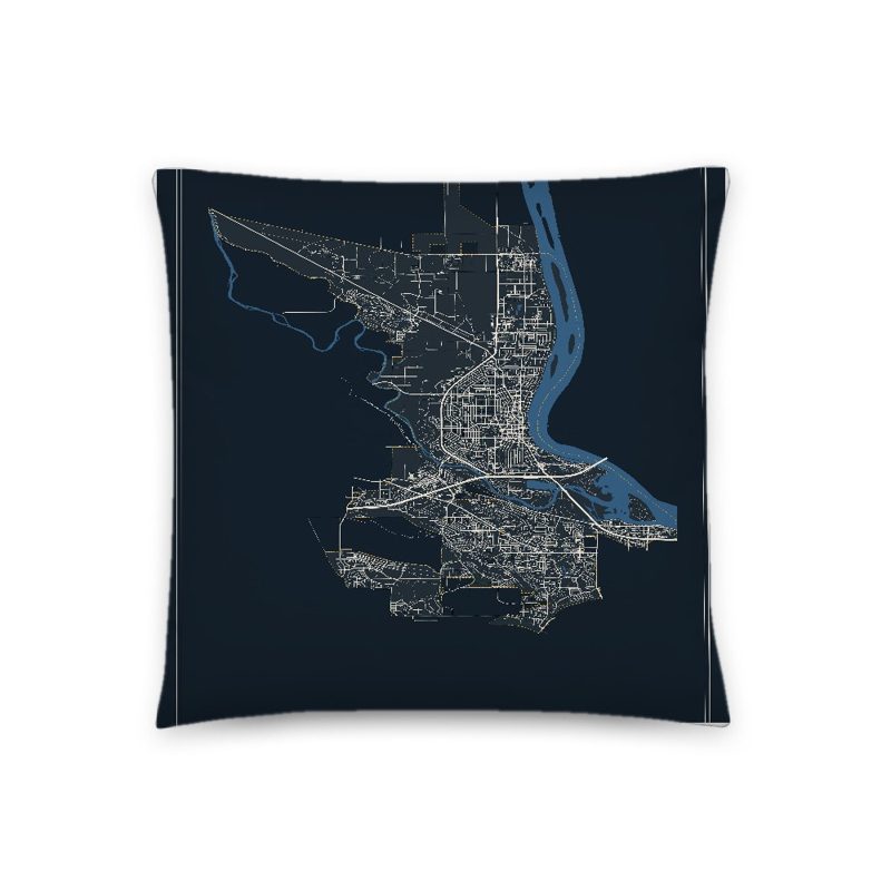
Richland Map Throw Pillow

Richland Map Throw Pillow

Soft-touch, zip cover

$47
Richland Landmark Photo Pillow

Richland Landmark Photo Pillow

A local landmark photo with the town name, 18″×18″

$49
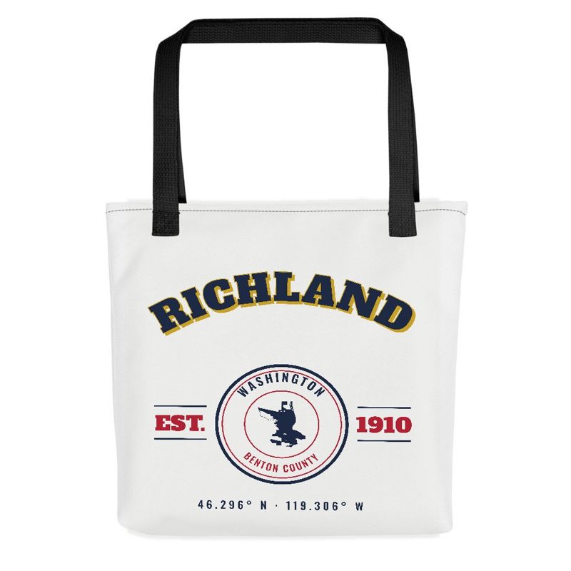
Richland Market Tote

Richland Market Tote

Sturdy all-over-print tote

$37
Richland “Greetings From” Tote

Richland “Greetings From” Tote

Large-letter postcard art on a sturdy tote

$37
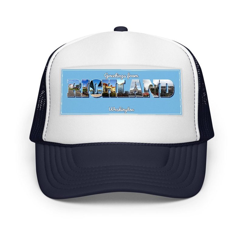
Richland “Greetings From” Trucker Cap

Richland “Greetings From” Trucker Cap

Foam-front trucker, printed (not embroidered) with local photos

$33
Richland Cork Coaster

Richland Cork Coaster

Glossy top, cork back

$16
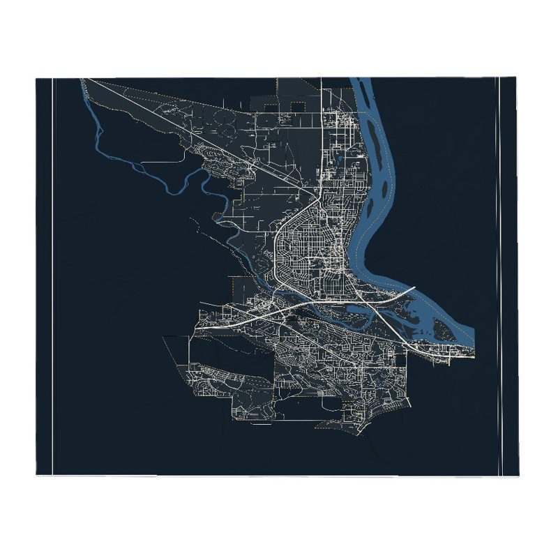
Richland Street Map Throw Blanket

Richland Street Map Throw Blanket

Soft fleece, 50″×60″

from $72
Richland Snapshot Collage Blanket

Richland Snapshot Collage Blanket

Six local landmarks as instant photos, soft fleece 50″×60″

from $76
Richland Est. Tumbler

Richland Est. Tumbler

20 oz, double-wall stainless

$51
Richland Pacific Northwest National Laboratory Postcard

Richland Pacific Northwest National Laboratory Postcard

6″×4″ postcard, glossy front

$10
Richland Hanford Reach Postcard

Richland Hanford Reach Postcard

6″×4″ postcard, glossy front

$10
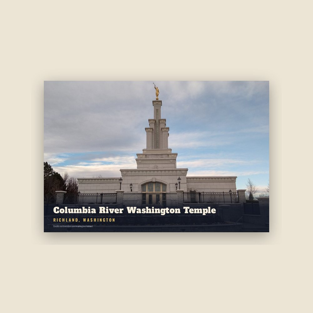
Richland Columbia River Washington Temple Postcard

Richland Columbia River Washington Temple Postcard

6″×4″ postcard, glossy front

$10
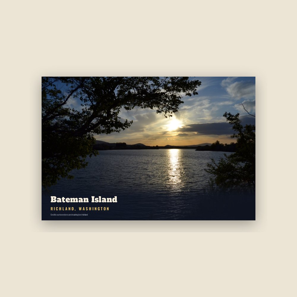
Richland Bateman Island Postcard

Richland Bateman Island Postcard

6″×4″ postcard, glossy front

$10
Richland Howard Amon Park Postcard

Richland Howard Amon Park Postcard

6″×4″ postcard, glossy front

$10
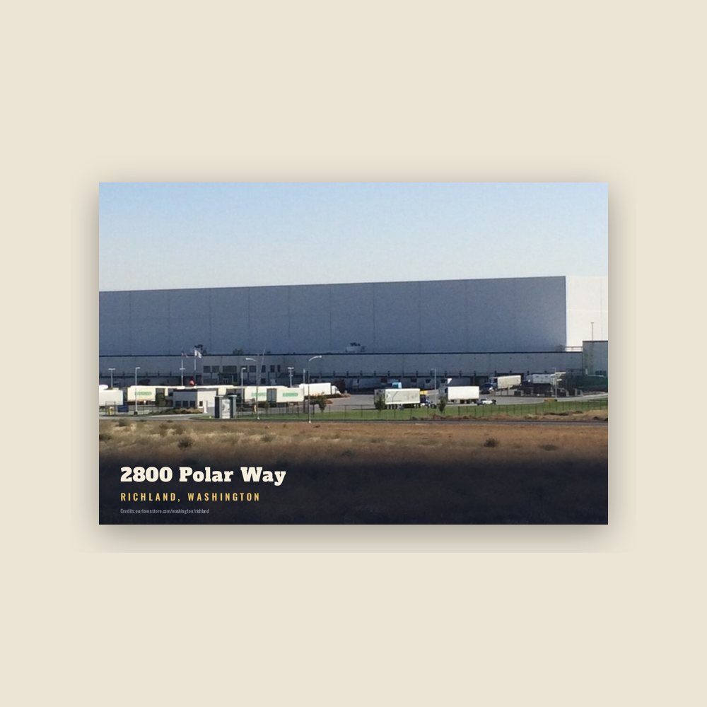
Richland 2800 Polar Way Postcard

Richland 2800 Polar Way Postcard

6″×4″ postcard, glossy front

$10
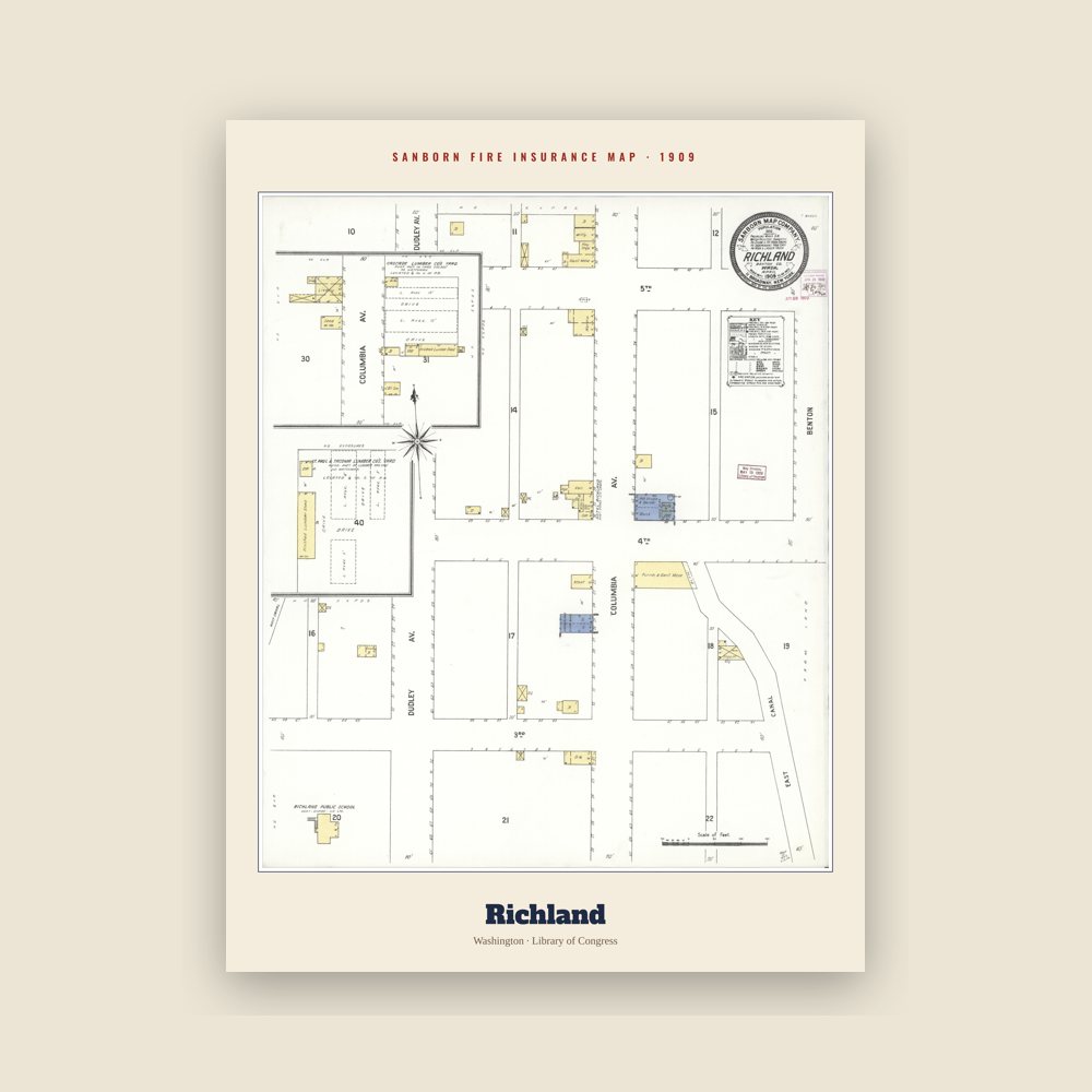
Richland Sanborn Map Print

Richland Sanborn Map Print

The town's earliest Sanborn fire-insurance map, drawn building by building and hand-coloured, from the Library of Congress

from $44
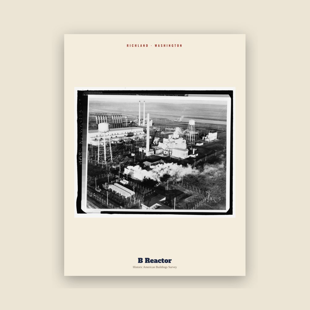
Richland B Reactor Archive Print

Richland B Reactor Archive Print

From the Library of Congress collections: a historic survey drawing or photograph of the town

from $44
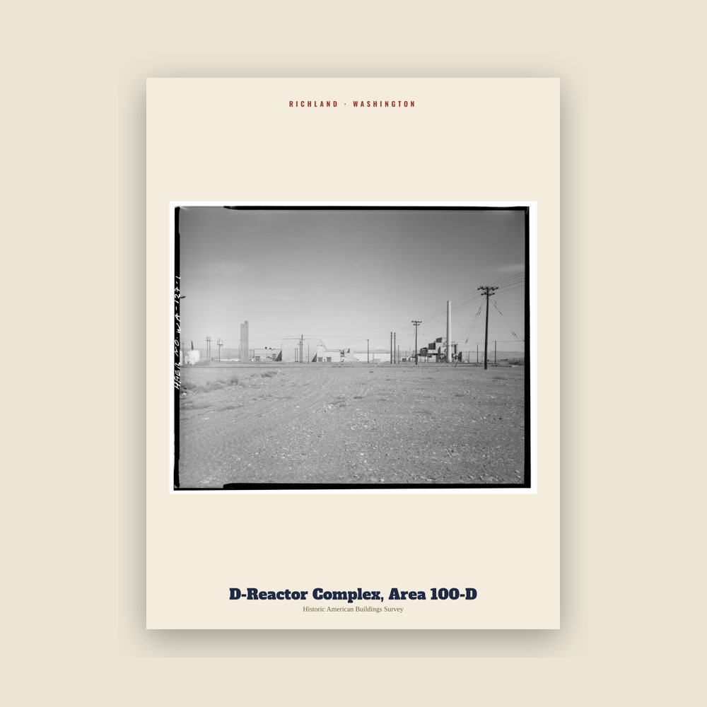
Richland D-Reactor Complex, Area 100-D Archive Print

Richland D-Reactor Complex, Area 100-D Archive Print

From the Library of Congress collections: a historic survey drawing or photograph of the town

from $44
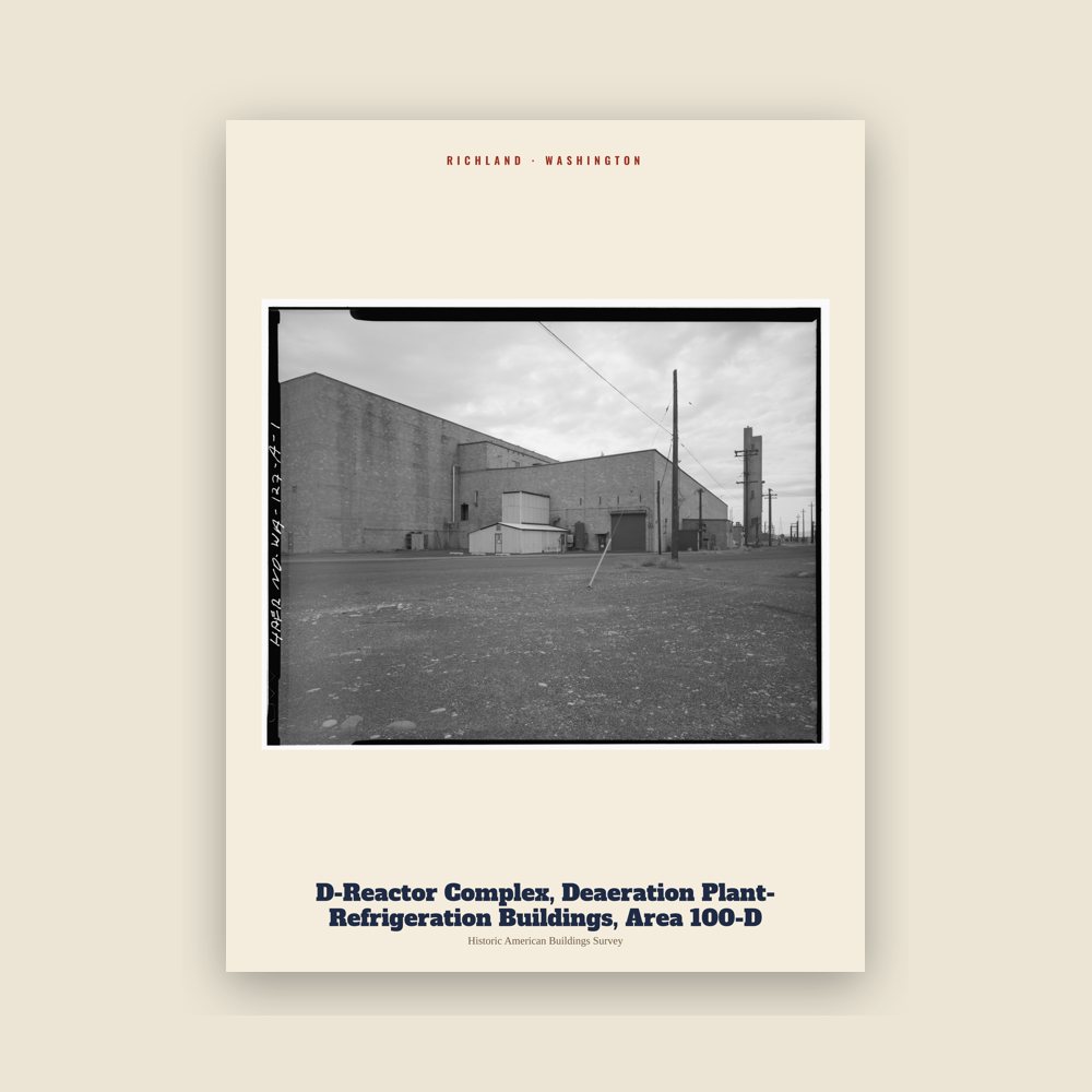
Richland D-Reactor Complex, Deaeration Plant-Refrigeration Buildings, Area 100-D Archive Print

Richland D-Reactor Complex, Deaeration Plant-Refrigeration Buildings, Area 100-D Archive Print

From the Library of Congress collections: a historic survey drawing or photograph of the town

from $44
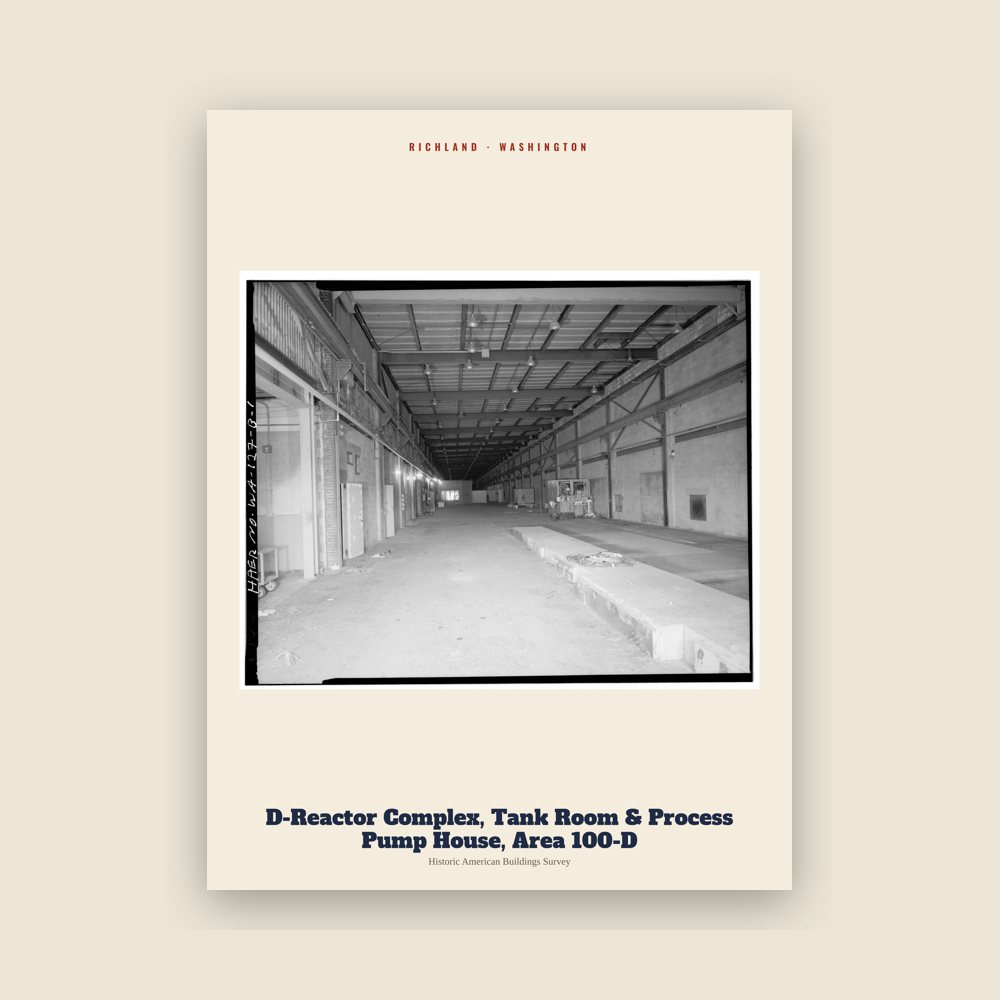
Richland D-Reactor Complex, Tank Room & Process Pump House, Area 100-D Archive Print

Richland D-Reactor Complex, Tank Room & Process Pump House, Area 100-D Archive Print

From the Library of Congress collections: a historic survey drawing or photograph of the town

from $44
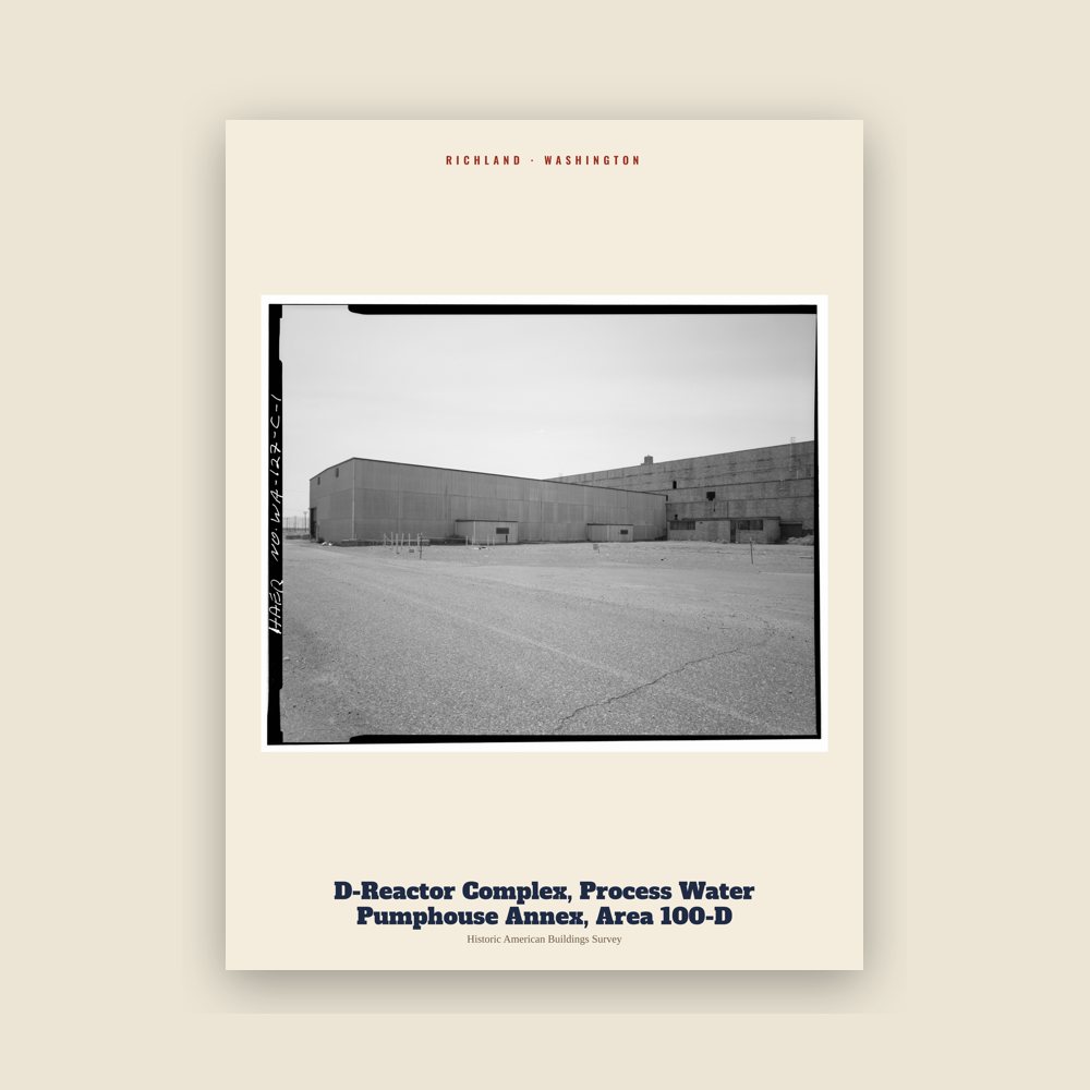
Richland D-Reactor Complex, Process Water Pumphouse Annex, Area 100-D Archive Print

Richland D-Reactor Complex, Process Water Pumphouse Annex, Area 100-D Archive Print

From the Library of Congress collections: a historic survey drawing or photograph of the town

from $44
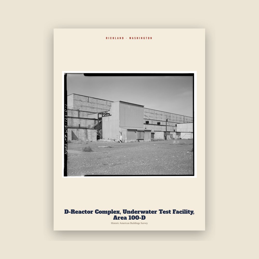
Richland D-Reactor Complex, Underwater Test Facility, Area 100-D Archive Print

Richland D-Reactor Complex, Underwater Test Facility, Area 100-D Archive Print

From the Library of Congress collections: a historic survey drawing or photograph of the town

from $44
Hometown roll

Born in Richland

On the National Register

Historic places

Population 1910: 350 → 2010: 48,058 → 2020: 60,560

From Wikidata (CC0).

Since 1910

A short history of Richland

For centuries, the village of Chemna was at the mouth of the Yakima River. Today the village site is called Columbia Point. From the village, the indigenous Wanapum, Yakama, and Walla Walla people harvested salmon runs entering the Yakima River. Captain William Clark of the Lewis and Clark Expedition visited the mouth of the Yakima River on October 17, 1805.

Read the full history

Formative years

In 1904–1905, W.R. Amon and his son Howard purchased 2,300 acres (9.3 km2) and proposed a town site on the north bank of the Yakima River. Postal authorities approved the designation of this town site as Richland in 1905, naming it for Nelson Rich, a state legislator and land developer. In 1906, the town was registered at the Benton County Courthouse. It was incorporated on April 28, 1910, as a fourth-class city.

Population growth in Richland accelerated following the opening of a permanent bridge over the Yakima River in 1907 and a highway to Kennewick in 1926. A cable ferry to Pasco operated across the Columbia River from 1894 to 1931, when it was replaced by a modern bridge.

World War II

Richland was a small farm town until the U.S. Army purchased 640 sq mi (1,660 km2) of land – over half the size of Rhode Island – along the Columbia River during World War II for the Manhattan Project. On March 6, 1943, over 300 residents of Richland as well as those of the now vanished towns of White Bluffs and Hanford just upriver were evicted after a federal court order had condemned their properties for wartime use.

The army transformed Richland into a bedroom community for the workers on its Manhattan Project facility at the nearby Hanford Engineering Works (now the Hanford site). The population increased from 300 in July and August 1943 to 25,000 by the end of World War II in August 1945. All land and buildings were owned by the government. Housing was assigned to residents, and token rent was collected; families were assigned to houses or duplexes; single people were placed in apartments or barracks. Everything necessary was provided, from free bus service to light bulbs, and trees were planted in people's yards by the government. Much of the city was planned by Spokane architect Gustav Albin Pehrson and overseen by the Army Corps of Engineers. While dormitories and barracks were being built at the time, prefabricated duplexes and single-family homes are all that survive today. Because homes were allocated based on family size and need, there were a number of floorplans available. These were each identified by a letter of the alphabet, and so came to be known as alphabet houses.

Richland's link to the Army Engineers is suggested by its street nomenclature; many of the streets are named after famous engineers. The main street (George Washington Way) is named after the first president, who was a surveyor; Stevens Drive is named after John Frank Stevens, chief engineer of the Panama Canal and Stevens Pass; Goethals Drive is named after George W. Goethals, designer of the Panama Canal; and Thayer Drive is named after Sylvanus Thayer, superintendent of West Point and later founder of the Thayer School of Engineering at Dartmouth College. The rule is that if alphabet houses reside on a given street, they are named after an engineer or a type of tree.

Cold War era

With the end of the war, the Hanford workers' camp, originally located 15 miles (24 km) north of Richland at the old Hanford town site, was closed down. Although many of the workers moved away as the war effort wound down, some of them moved to Richland, offsetting the depopulation that might otherwise have occurred. Management of the Hanford site and Richland itself was transferred to General Electric.

Fears that the Soviet Union's intentions were aggressive set off the Cold War in 1947. The capacity to produce plutonium was increased beginning in 1947. When the Soviet Union developed and tested its first nuclear weapon in 1949, the U.S. nuclear program was reinvigorated. A second post-WWII expansion began in 1950 due to the war in Korea. Richland's Cold War construction boom resulted in Richland's population growing to 27,000 people by 1952. Many of these people lived in a construction camp of trailers located in what is now north Richland. With time, these trailers were vacated and the core city grew. Others lived at Camp Columbia near Horn Rapids until the camp was closed in 1950. In 2005 several dozen houses built in the northern part of the core city during this boom were added to the National Register of Historic Places as the Gold Coast Historic District.

Transition to private property

In 1954, Harold Orlando Monson was elected the first mayor of Richland and traveled to Washington, D.C., to negotiate increased rights (such as private home ownership) for citizens in military cities across the country. The U.S. Congress passed a law the following year to mandate the transfer of Richland and Oak Ridge to local control within five years, spurring a new incorporation attempt. The federal government relinquished its land holdings in 1957 and sold the city's real estate to residents; the last home was sold on May 16, 1960. Most of the people lived in duplexes; senior tenants were given the option to purchase the building; junior tenants were given the option to purchase lots in a newly platted area of north Richland.

Richland was re-incorporated as a chartered first-class city on December 10, 1958, five months after residents voted in favor of self-governance as a city. Among the first additions to the new city was an expanded public library, which had been built by General Electric out of a Quonset hut. As part of the transition, large areas of undeveloped land became city property. Richland's financial dependency on the federal Hanford facility changed little at this time because Hanford's mission as a weapons materials production site continued during the Cold War years.

After the production boom

With the shutdown of the last production reactor in 1987, the area transitioned to environmental cleanup and technology. Now, many Richland residents are employed at the Hanford site in its environmental cleanup mission.

Washington State University, Tri-Cities was founded in northern Richland in 1989, growing out of a former Joint Graduate Center which had been affiliated with the University of Washington, Oregon State University, and Washington State University. Richland is also home to Kadlec Regional Medical Center. Columbia Basin College's Medical Training Center is near Kadlec Regional Medical Center.

Adapted (trimmed) from the Wikipedia article Richland, Washington, revision 1376598009 by its contributors, licensed CC BY-SA 4.0.

For local organizations

Are you with a Richland historical society?

We share a part of every Richland sale with local partners, and we'd love to print from your collection. Old photographs, maps and postcards make the best keepsakes.

Partner with us
Custom orders

Want something Richland we don't make yet?

A favorite landmark, your street, a school or team, an anniversary gift, a different product. Tell us and we'll get back to you by email.

Free printables

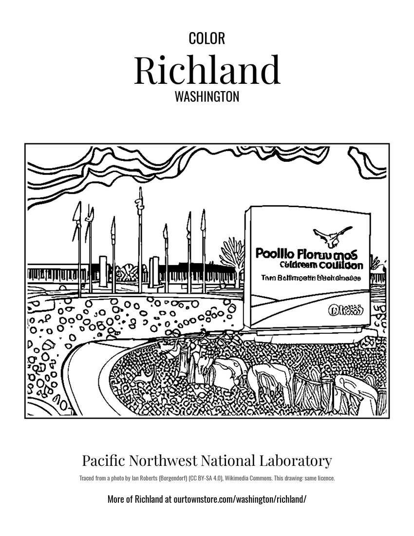
Color Richland

10 free coloring pages of Richland, each traced from a photo of a local landmark. Print them at home, at school or for story hour.
Nearby

Neighboring towns

Sources

Richland's population was 60,560 in the 2020 U.S. Census, up from 350 in 1910.