Cart 0
Hancock-Greenfield Bridge, Hancock, New Hampshire

HANCOCK

New Hampshire · Est. 1779
Shop the collection

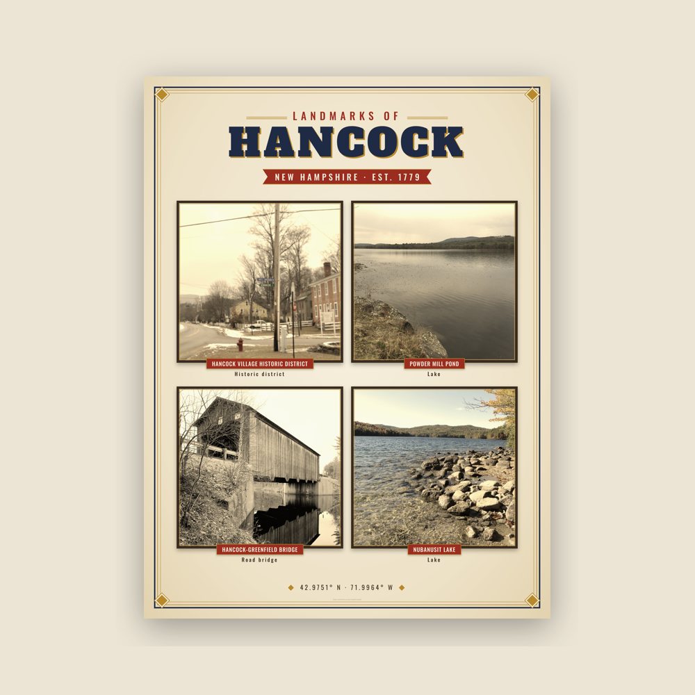
Hancock is home to the Welch Family Farm Forest. Landmarks include Hancock Village Historic District and Hancock-Greenfield Bridge. Hancock is the birthplace of Eli Bremer, modern pentathlete.

The Hancock Collection

Made for Hancock. Printed to order.

Every piece is drawn from Hancock's own map data and historic archives, then printed and shipped from the USA when you order. No two towns look alike.
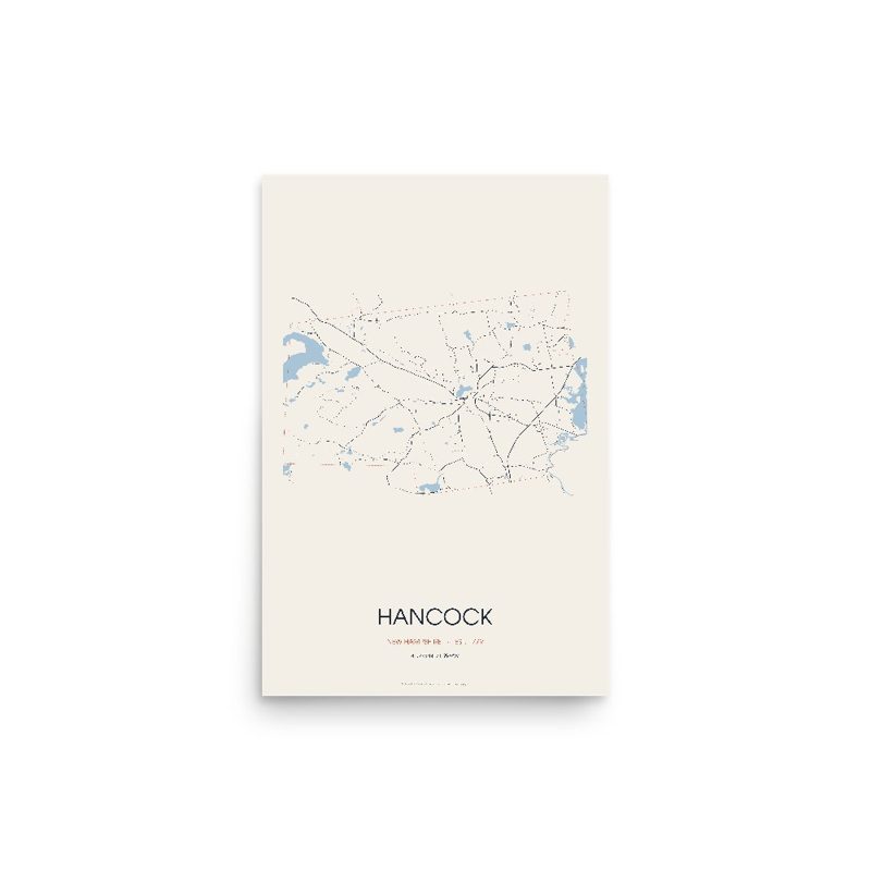
Hancock Street Map Poster · Linen

Hancock Street Map Poster · Linen

Every road in town, on archival matte paper

from $34
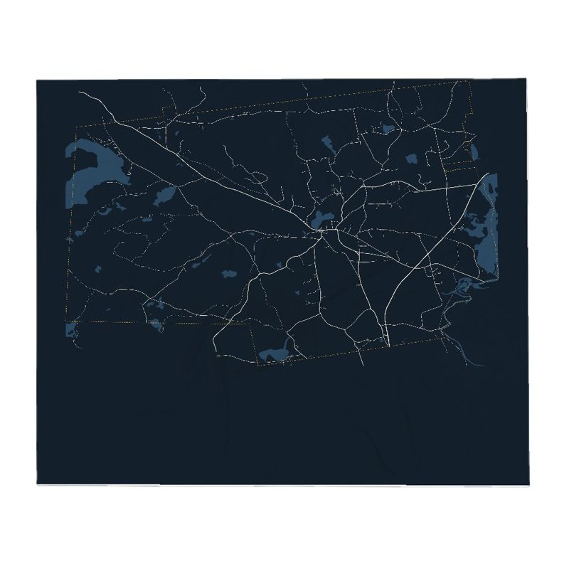
Hancock Street Map Poster · Midnight

Hancock Street Map Poster · Midnight

The same map, in navy and silver

from $34
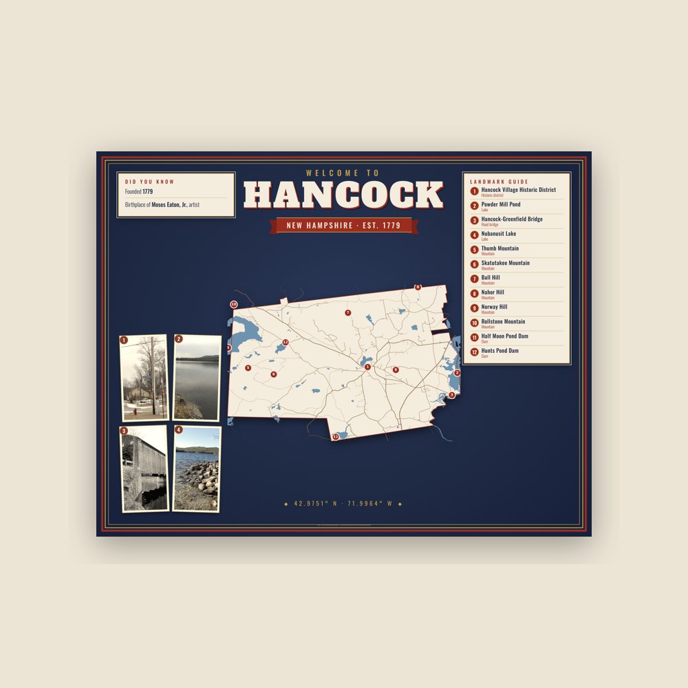
Hancock Landmarks Photo Poster

Hancock Landmarks Photo Poster

Nine local landmarks, archival matte
from $35
Hancock Map Placemat

Hancock Map Placemat

Map of local landmarks, washable fabric

$25
Hancock Varsity Crewneck

Hancock Varsity Crewneck

Heavy-blend fleece, street map printed on the back

from $48
Hancock Est. Tee

Hancock Est. Tee

Soft Bella+Canvas jersey

from $28
Hancock Town Line Mug

Hancock Town Line Mug

Glossy ceramic, dishwasher safe

from $19
Hancock Hometown Ornament

Hancock Hometown Ornament

Ceramic keepsake, gold ribbon

$18
Hancock Garden Flag

Hancock Garden Flag

Weatherproof, for the front walk

$26
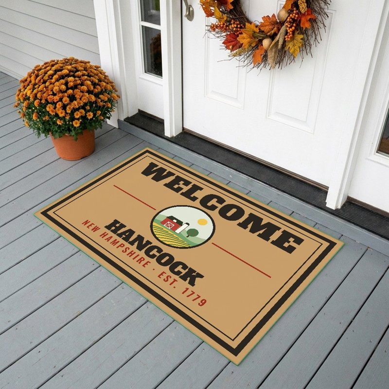
Hancock Welcome Doormat

Hancock Welcome Doormat

24″×16″, printed coir-look fibers, rubber back

$45
Hancock Hometown Wood Sign

Hancock Hometown Wood Sign

12″×12″ printed wood, ready to hang

$39
Hancock Map Throw Pillow

Hancock Map Throw Pillow

Soft-touch, zip cover

$36
Hancock Market Tote

Hancock Market Tote

Sturdy all-over-print tote

$32
Hancock Cork Coaster

Hancock Cork Coaster

Glossy top, cork back

$12
Hancock Street Map Throw Blanket

Hancock Street Map Throw Blanket

Soft fleece, 50″×60″

from $64
Hancock Est. Tumbler

Hancock Est. Tumbler

20 oz, double-wall stainless

$40
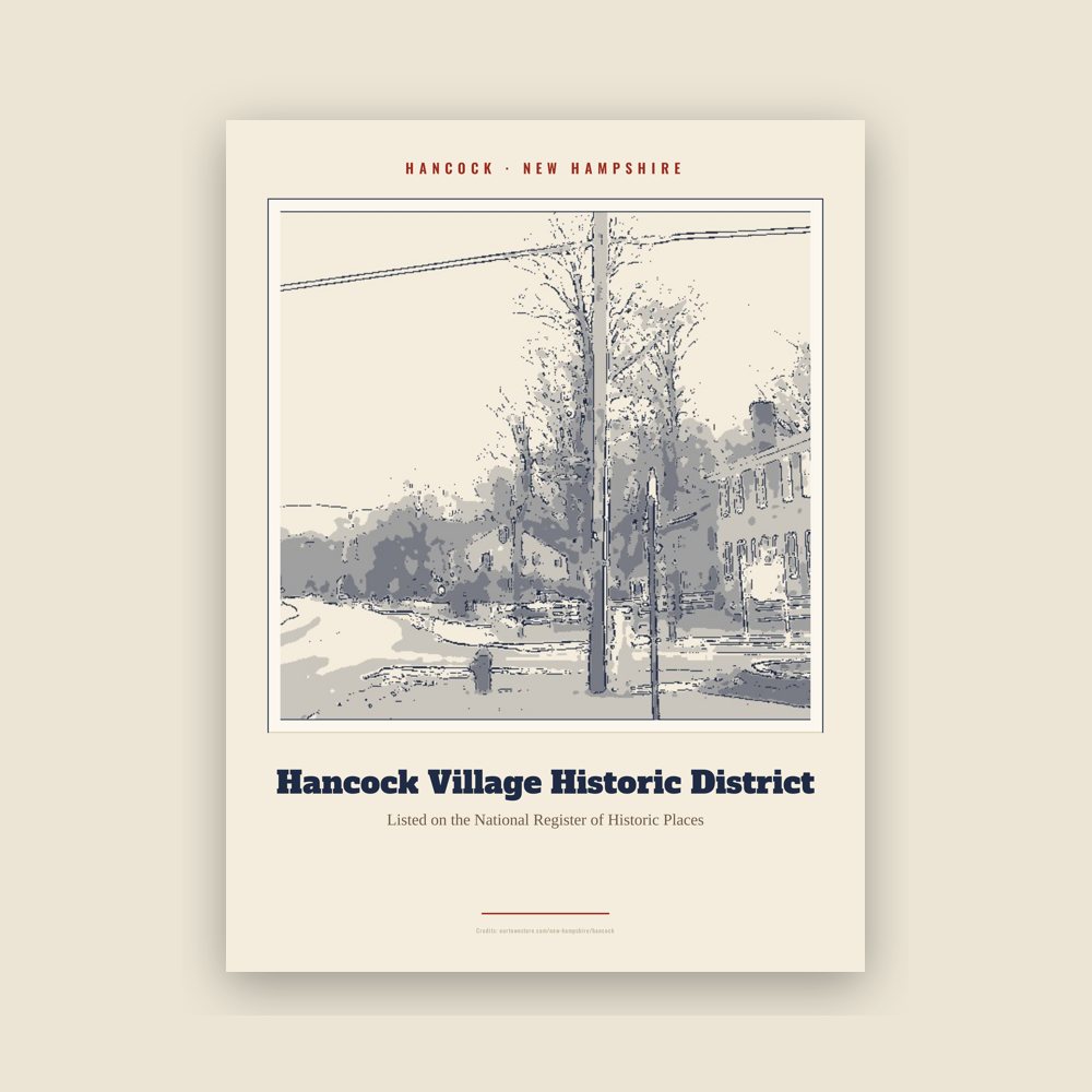
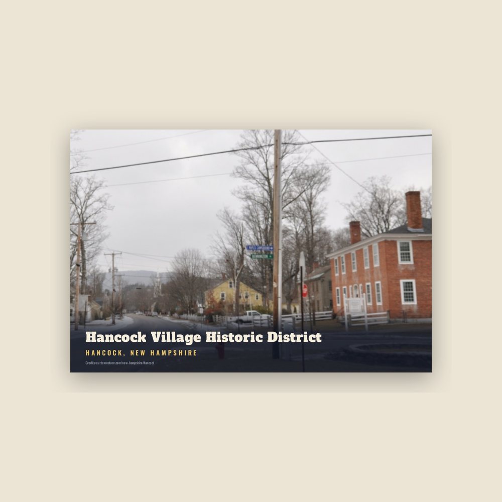
Hancock Hancock Village Historic District Landmark Print

Hancock Hancock Village Historic District Landmark Print

Archival matte print of a local landmark, credited to its photographer

from $29
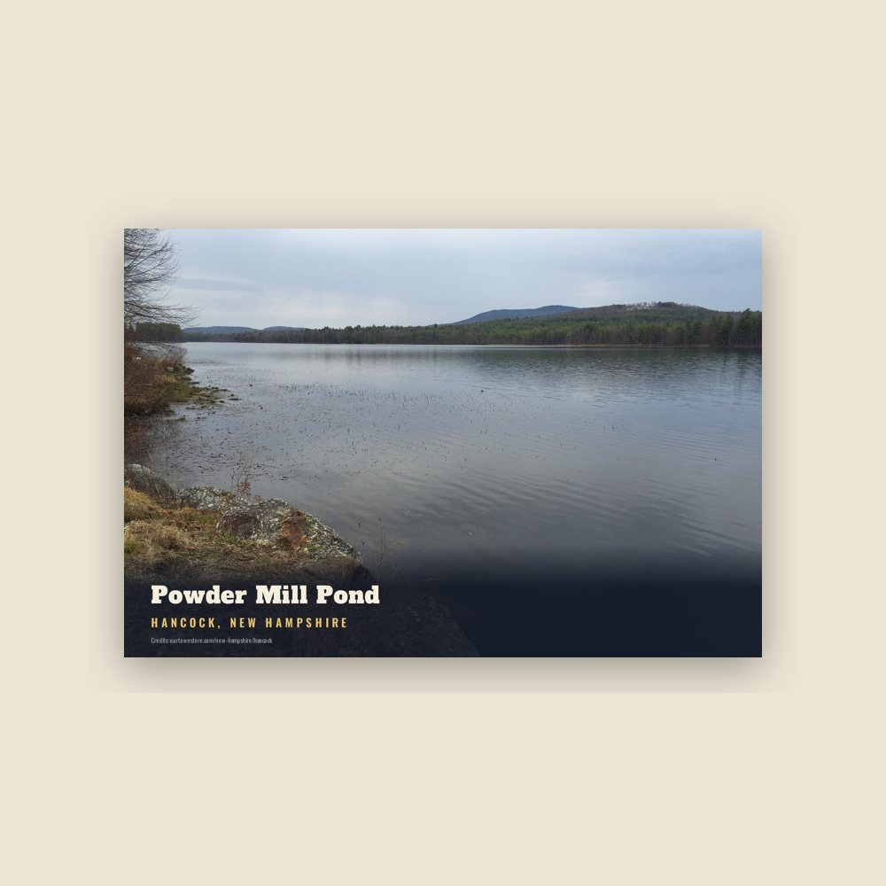
Hancock Powder Mill Pond Landmark Print

Hancock Powder Mill Pond Landmark Print

Archival matte print of a local landmark, credited to its photographer
from $29
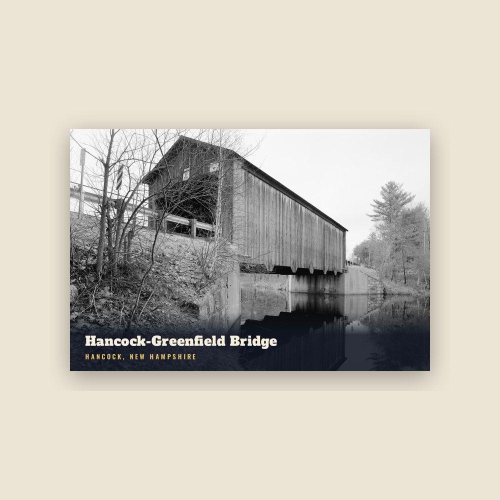
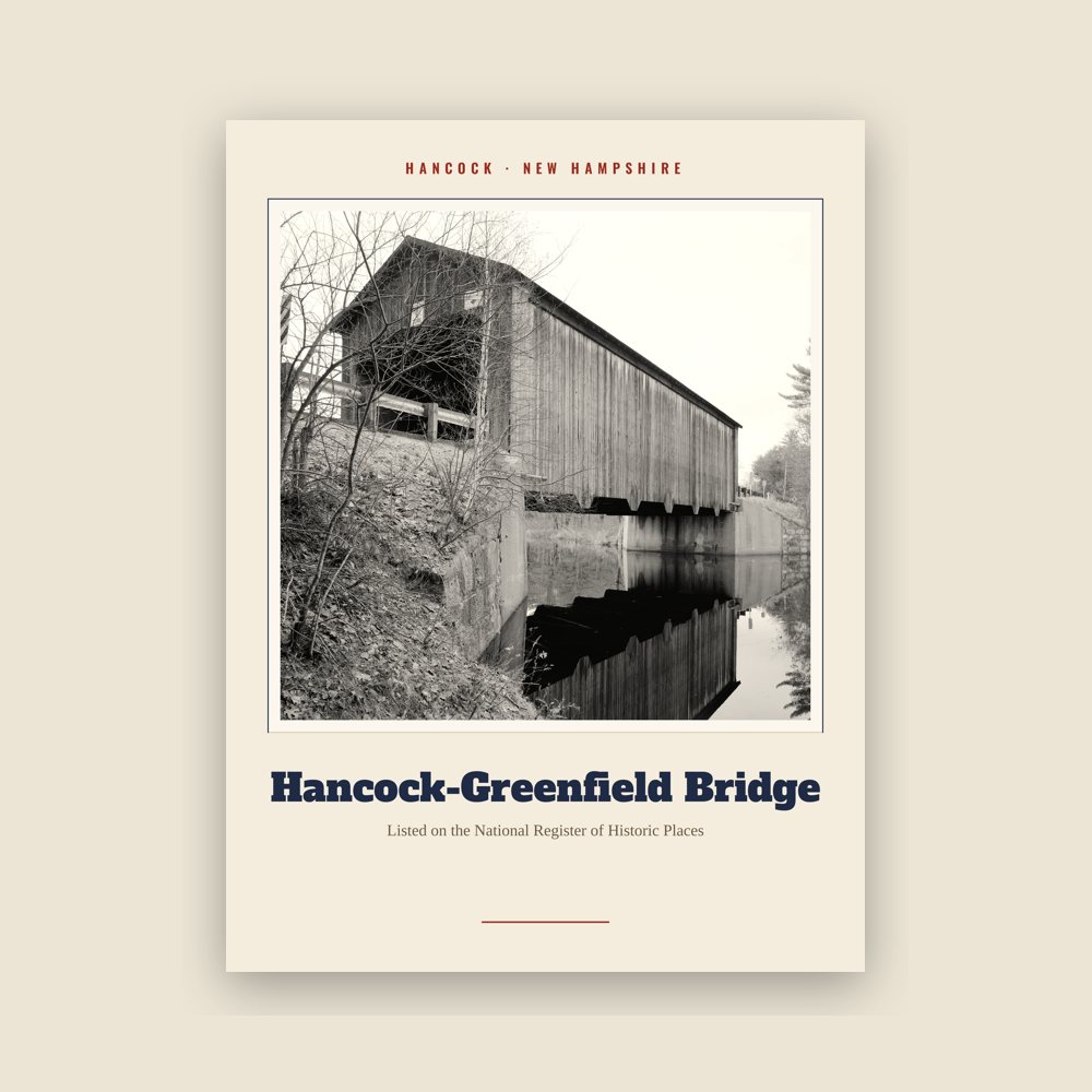
Hancock Hancock-Greenfield Bridge Landmark Print

Hancock Hancock-Greenfield Bridge Landmark Print

Archival matte print of a local landmark, credited to its photographer
from $29
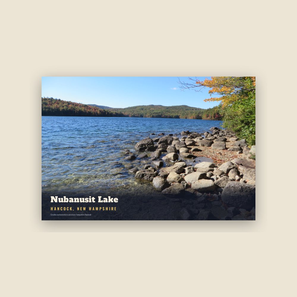
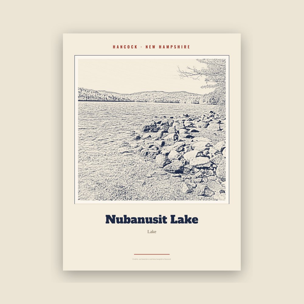
Hancock Nubanusit Lake Landmark Print

Hancock Nubanusit Lake Landmark Print

Archival matte print of a local landmark, credited to its photographer
from $29
Hancock Hancock Village Historic District Postcard

Hancock Hancock Village Historic District Postcard

6″×4″ postcard, glossy front

$6
Hancock Powder Mill Pond Postcard

Hancock Powder Mill Pond Postcard

6″×4″ postcard, glossy front

$6
Hancock Hancock-Greenfield Bridge Postcard

Hancock Hancock-Greenfield Bridge Postcard

6″×4″ postcard, glossy front

$6
Hancock Nubanusit Lake Postcard

Hancock Nubanusit Lake Postcard

6″×4″ postcard, glossy front

$6
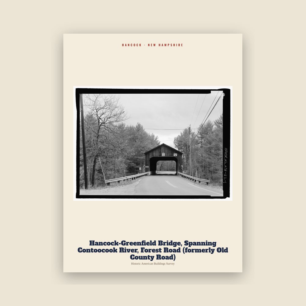
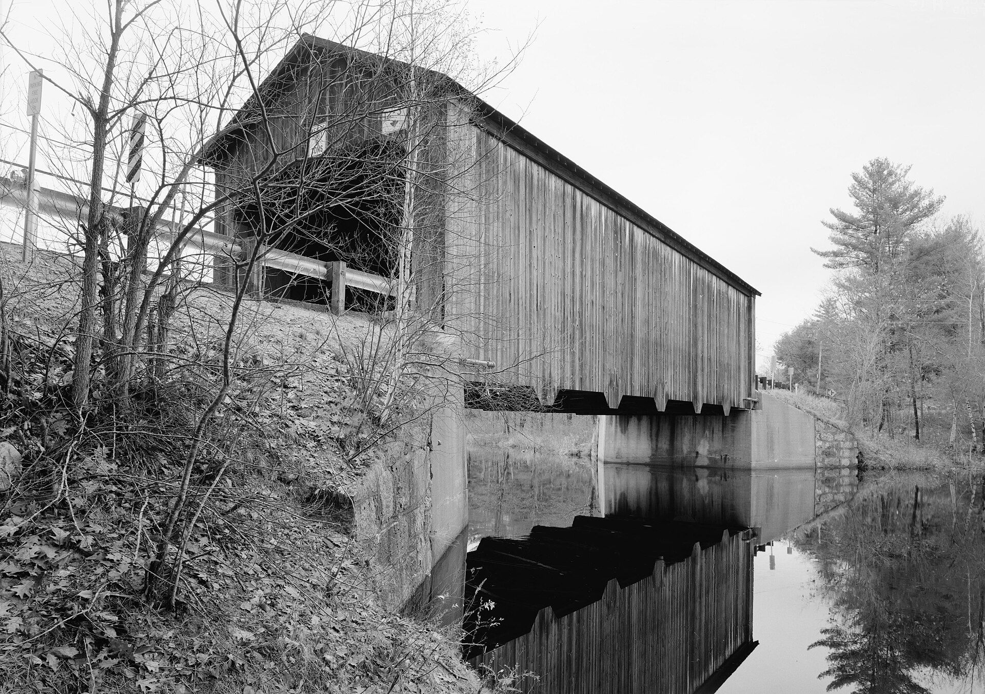
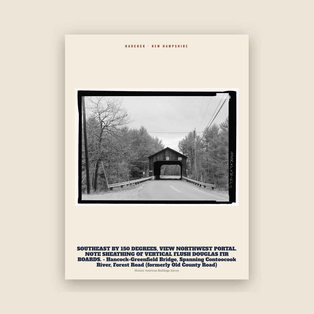
Hancock Hancock-Greenfield Bridge, Spanning Contoocook River, Forest Road (formerly Old County Road) Archive Print

Hancock Hancock-Greenfield Bridge, Spanning Contoocook River, Forest Road (formerly Old County Road) Archive Print

From the Library of Congress collections: a historic survey drawing or photograph of the town
from $39
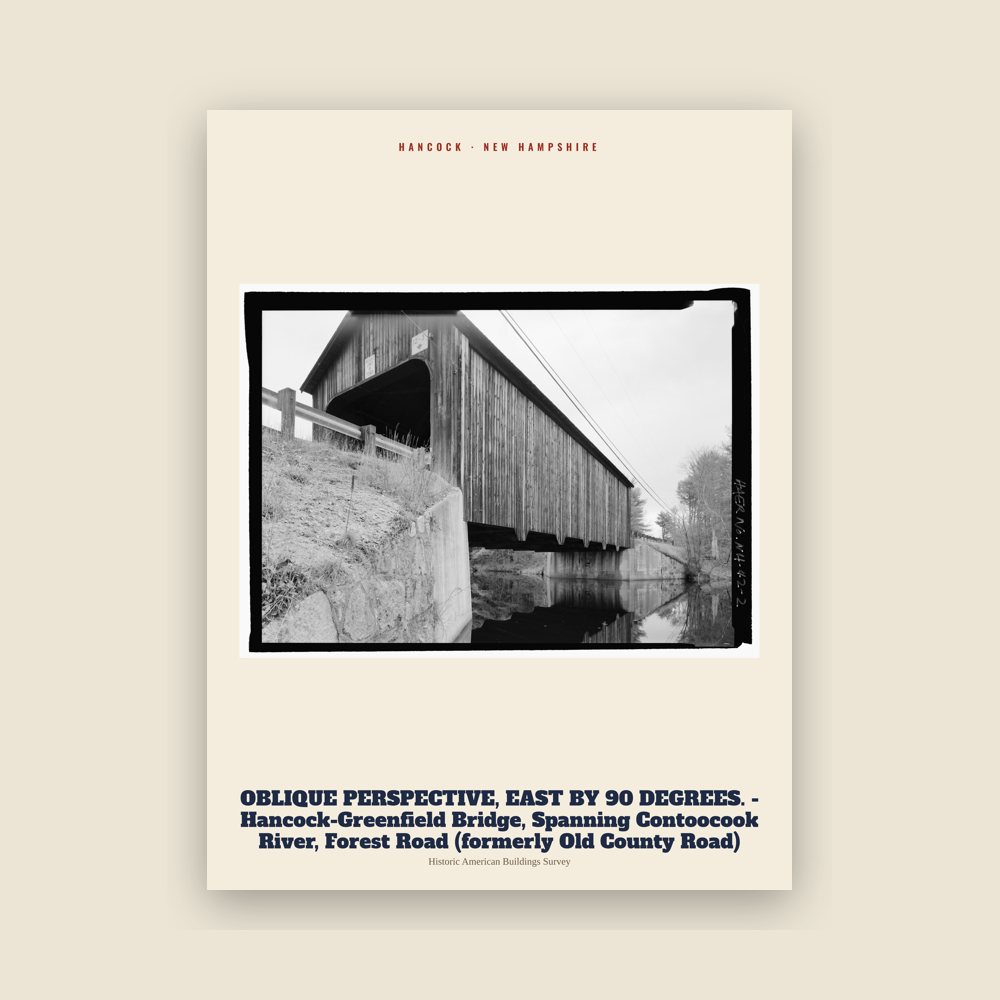
Hancock SOUTHEAST BY 150 DEGREES, VIEW NORTHWEST PORTAL. NOTE SHEATHING OF VERTICAL FLUSH DOUGLAS FIR BOARDS.  - Hancock-Greenfield Bridge, Spanning Contoocook River, Forest Road (formerly Old County Road) Archive Print

Hancock SOUTHEAST BY 150 DEGREES, VIEW NORTHWEST PORTAL. NOTE SHEATHING OF VERTICAL FLUSH DOUGLAS FIR BOARDS. - Hancock-Greenfield Bridge, Spanning Contoocook River, Forest Road (formerly Old County Road) Archive Print

From the Library of Congress collections: a historic survey drawing or photograph of the town
from $39
Hancock OBLIQUE PERSPECTIVE, EAST BY 90 DEGREES. - Hancock-Greenfield Bridge, Spanning Contoocook River, Forest Road (formerly Old County Road) Archive Print

Hancock OBLIQUE PERSPECTIVE, EAST BY 90 DEGREES. - Hancock-Greenfield Bridge, Spanning Contoocook River, Forest Road (formerly Old County Road) Archive Print

From the Library of Congress collections: a historic survey drawing or photograph of the town
from $39
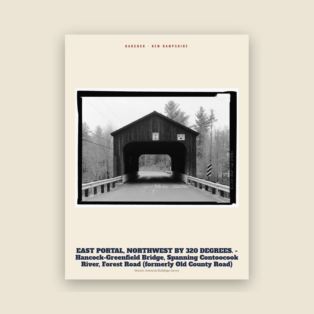
Hancock EAST PORTAL, NORTHWEST BY 320 DEGREES. - Hancock-Greenfield Bridge, Spanning Contoocook River, Forest Road (formerly Old County Road) Archive Print

Hancock EAST PORTAL, NORTHWEST BY 320 DEGREES. - Hancock-Greenfield Bridge, Spanning Contoocook River, Forest Road (formerly Old County Road) Archive Print

From the Library of Congress collections: a historic survey drawing or photograph of the town
from $39
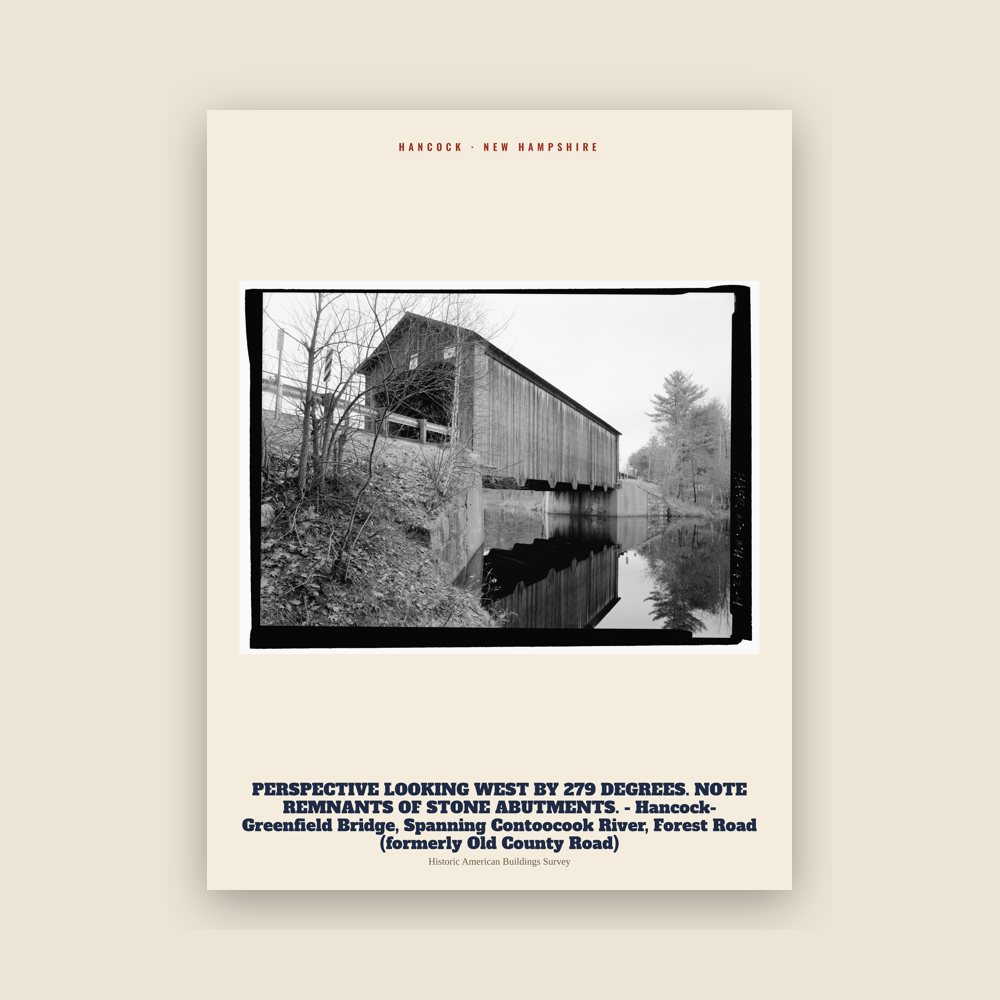
Hancock PERSPECTIVE LOOKING WEST BY 279 DEGREES. NOTE REMNANTS OF STONE ABUTMENTS. - Hancock-Greenfield Bridge, Spanning Contoocook River, Forest Road (formerly Old County Road) Archive Print

Hancock PERSPECTIVE LOOKING WEST BY 279 DEGREES. NOTE REMNANTS OF STONE ABUTMENTS. - Hancock-Greenfield Bridge, Spanning Contoocook River, Forest Road (formerly Old County Road) Archive Print

From the Library of Congress collections: a historic survey drawing or photograph of the town
from $39
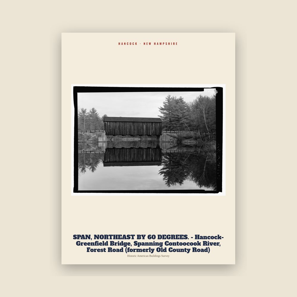
Hancock SPAN, NORTHEAST BY 60 DEGREES. - Hancock-Greenfield Bridge, Spanning Contoocook River, Forest Road (formerly Old County Road) Archive Print

Hancock SPAN, NORTHEAST BY 60 DEGREES. - Hancock-Greenfield Bridge, Spanning Contoocook River, Forest Road (formerly Old County Road) Archive Print

From the Library of Congress collections: a historic survey drawing or photograph of the town

from $39
Hometown roll

Born in Hancock

On the National Register

Historic places

Population 2010: 1,654 → 2020: 1,731

From Wikidata (CC0).

Since 1779

A short history of Hancock

Hancock started as an unidentified settlement on the Contoocook River, in lands known as "Society Land" or "Cumberland", which had been reserved for the proprietors of the lands which became New Hampshire. First settled in 1764, the town was set off from Peterborough and incorporated in 1779, named "Hancock" in honor of John Hancock. A landowner of 1,875 acres (8 km2) in the community, Hancock was the first governor of the state of Massachusetts, president of the Continental Congress, and signer of the Declaration of Independence.

Almost every building on Main Street in downtown Hancock is listed on the National Register of Historic Places as part of the Hancock Village Historic District. Hancock's Meetinghouse is home to Paul Revere's #236 bell, which chimes on the hour, day and night. The town does not have paved sidewalks, but gravel paths leading from home to home.

Adapted (trimmed) from the Wikipedia article Hancock, New Hampshire, revision 1378973477 by its contributors, licensed CC BY-SA 4.0.

For local organizations

Are you with a Hancock historical society?

We share a part of every Hancock sale with local partners, and we'd love to print from your collection. Old photographs, maps and postcards make the best keepsakes.

Partner with us
Nearby

Neighboring towns