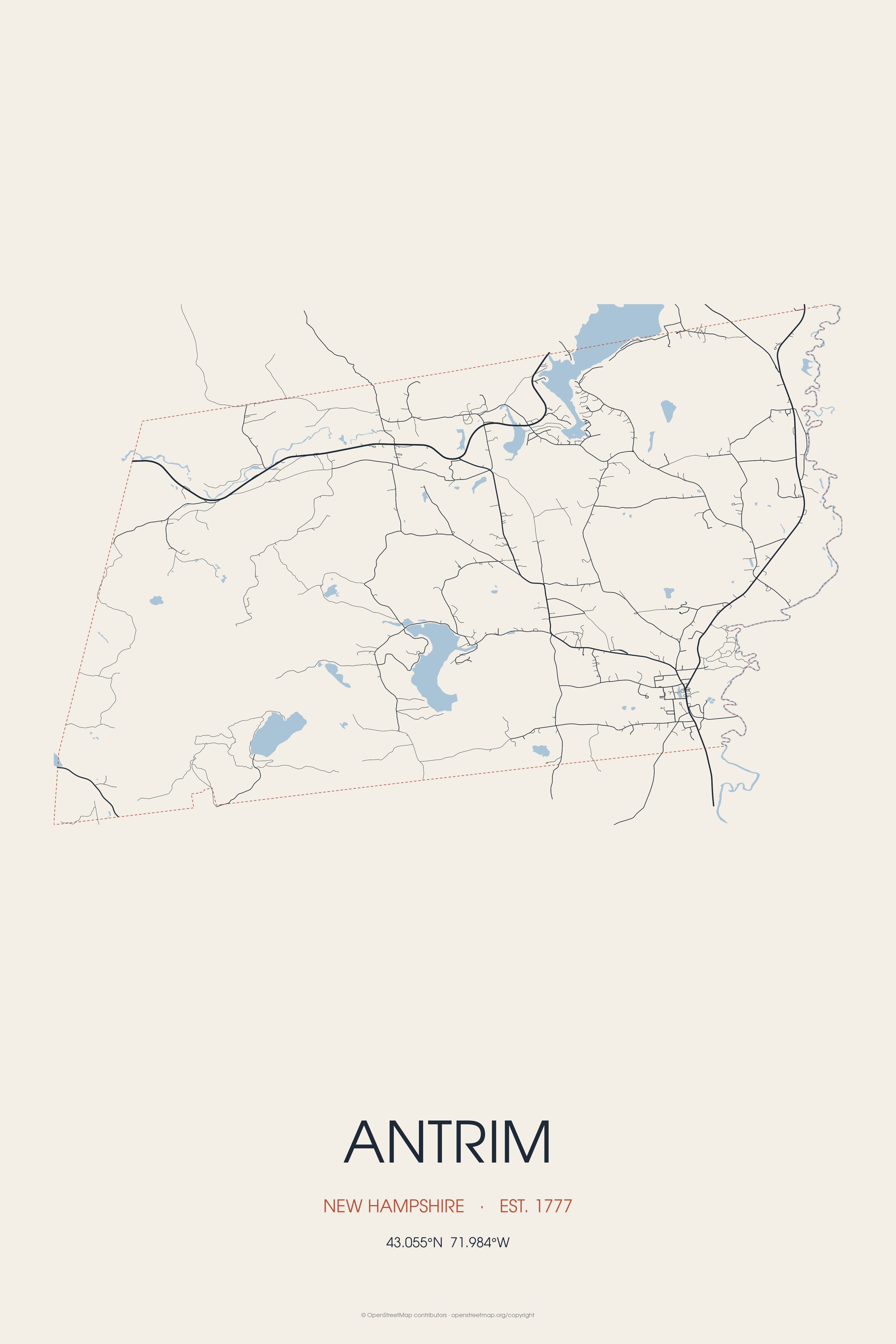
The town of Antrim also includes the villages of Antrim Center, North Branch, and Clinton Village. Landmarks include Flint Estate.
Every piece is drawn from Antrim's own map data and historic archives, then printed and shipped from the USA when you order. No two towns look alike.
Every road in town, on archival matte paper
The same map, in navy and silver
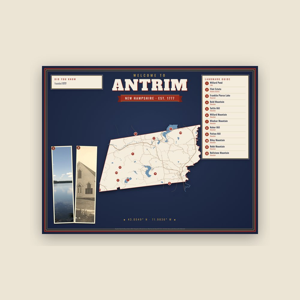
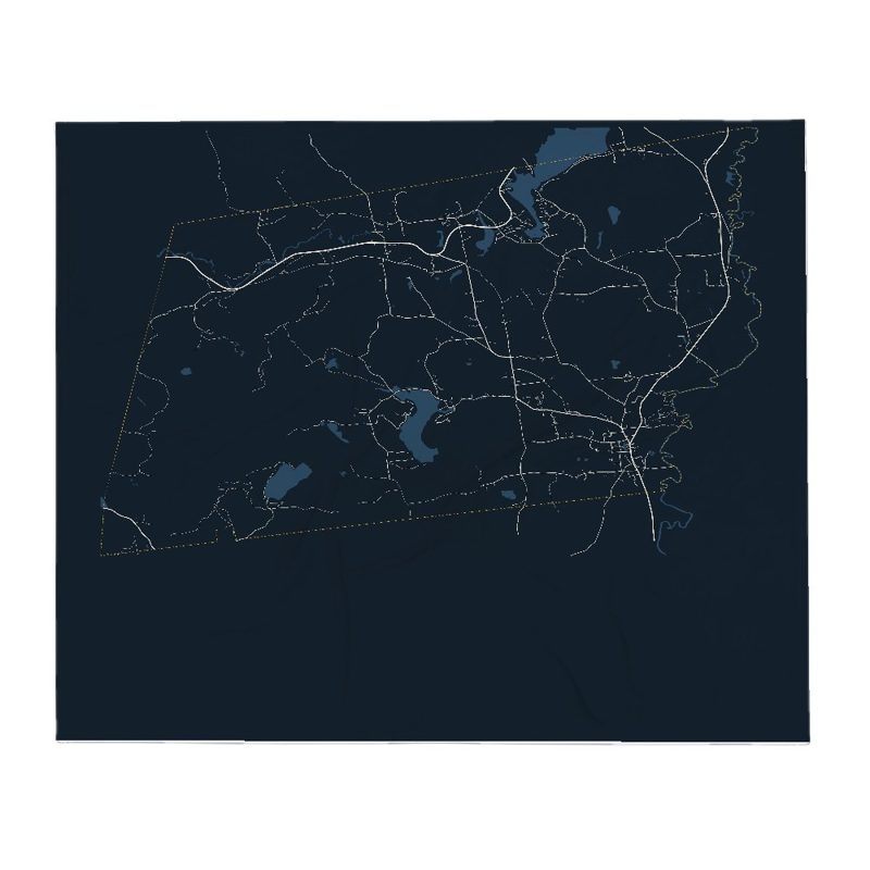
Map of local landmarks, washable fabric
Heavy-blend fleece, street map printed on the back
Soft Bella+Canvas jersey
Glossy ceramic, dishwasher safe
Ceramic keepsake, gold ribbon
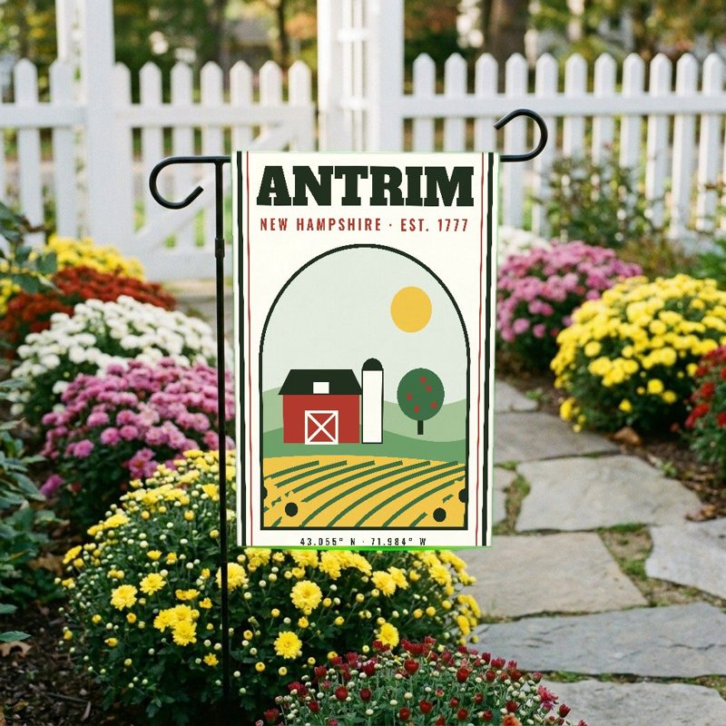
Weatherproof, for the front walk
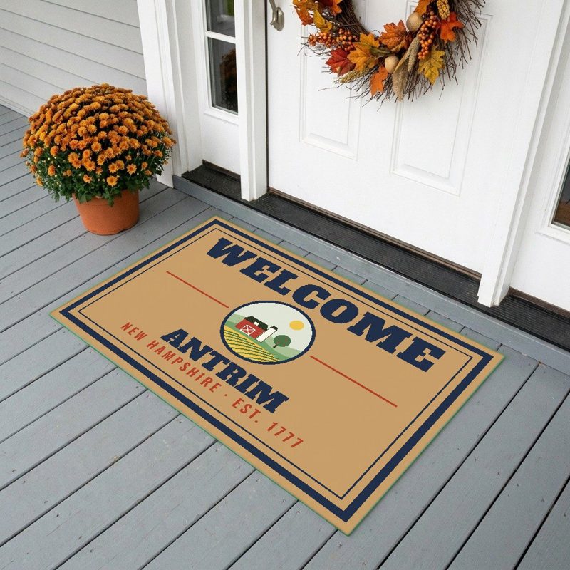
24″×16″, printed coir-look fibers, rubber back
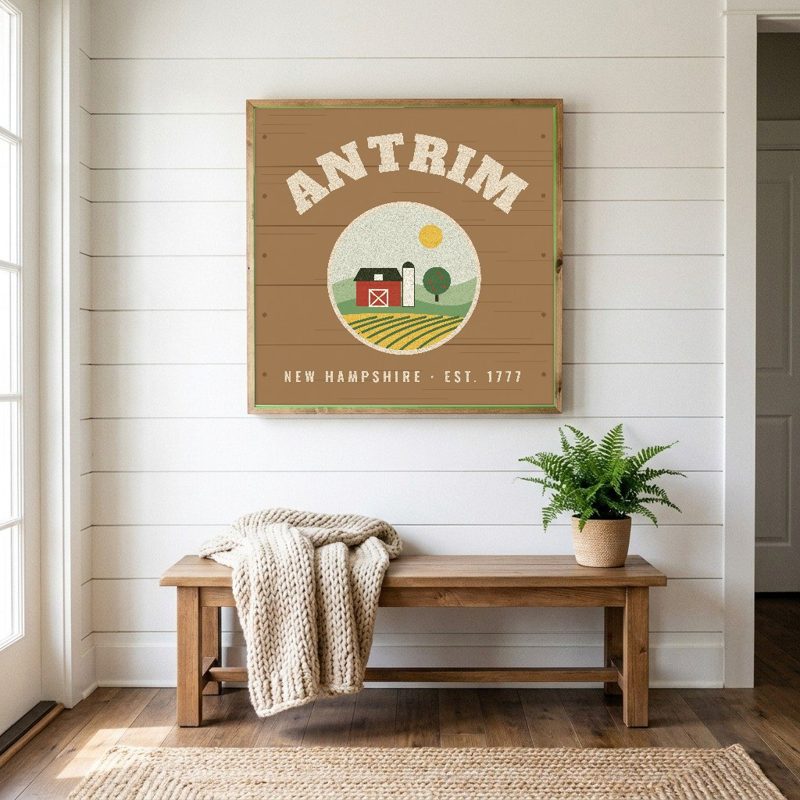
12″×12″ printed wood, ready to hang
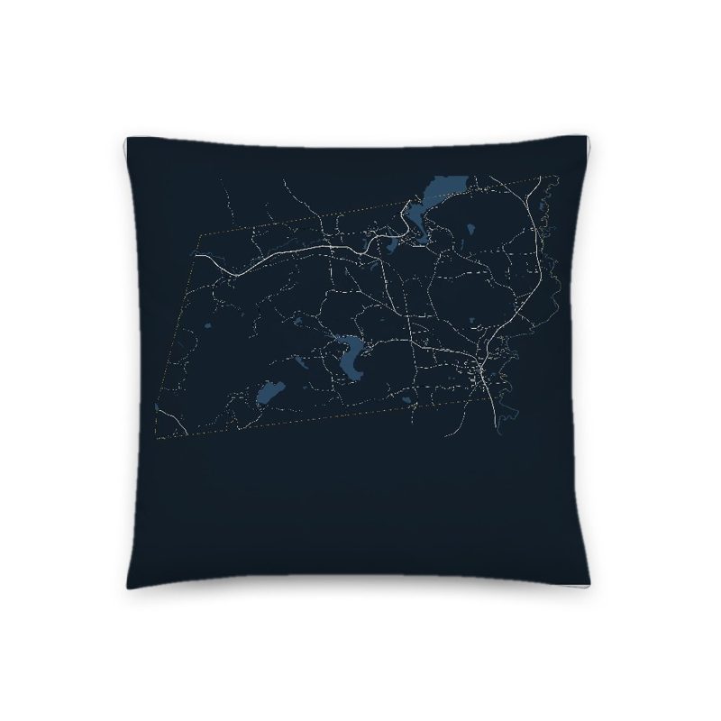
Soft-touch, zip cover
Sturdy all-over-print tote
Glossy top, cork back
Soft fleece, 50″×60″
20 oz, double-wall stainless
Population 2010: 2,637 → 2020: 2,651
From Wikidata (CC0).
Settled in 1744 and incorporated on March 22, 1777, this town did not receive its incorporated name until 1778. It was named for County Antrim in the north of Ireland, now part of Northern Ireland, which was the native home of the land's owner, Philip Riley. Scots-Irish settlers established a Presbyterian church in Antrim in 1788.
With falls providing water power, Great Brook was once lined with over twenty mills along its course from Gregg Lake to the Contoocook River. Commercial development centered on South Antrim, now the main village of Antrim. Cutlery was the major industry in this town, beginning with the manufacturing of apple-paring machines in 1864. The manufacture of cutlery continued in Antrim through 1989. The town is now largely a bedroom community for Peterborough and Hillsborough. The now-defunct Nathaniel Hawthorne College was in the area of town known as North Branch. The former college campus is now home to Hawthorne Academy.
Adapted (trimmed) from the Wikipedia article Antrim, New Hampshire, revision 1378462179 by its contributors, licensed CC BY-SA 4.0.
We share a part of every Antrim sale with local partners, and we'd love to print from your collection. Old photographs, maps and postcards make the best keepsakes.
Partner with us