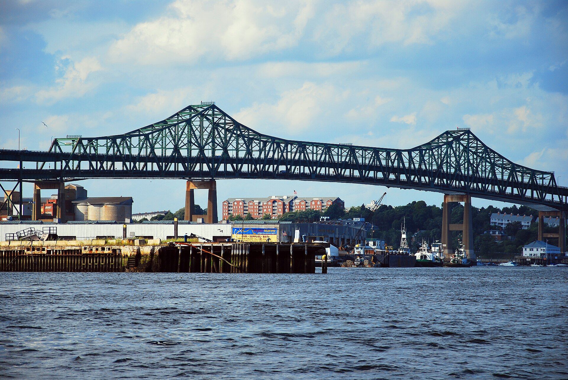
As of 2026, Chelsea has a population of 40,245 and a total area of 2.2 square miles. Landmarks include Tobin Bridge, Revere Beach Parkway and Bellingham Square station. Chelsea is the birthplace of Chick Corea, jazz and fusion pianist, keyboardist, and composer.
Every piece is drawn from Chelsea's own map data and historic archives, then printed and shipped from the USA when you order. No two towns look alike.
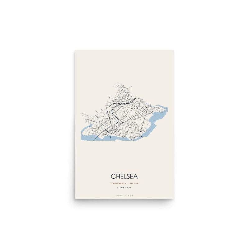
Every road in town, on archival matte paper
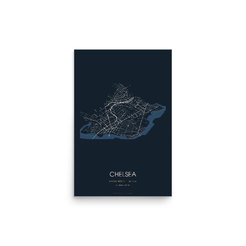
The same map, in navy and silver
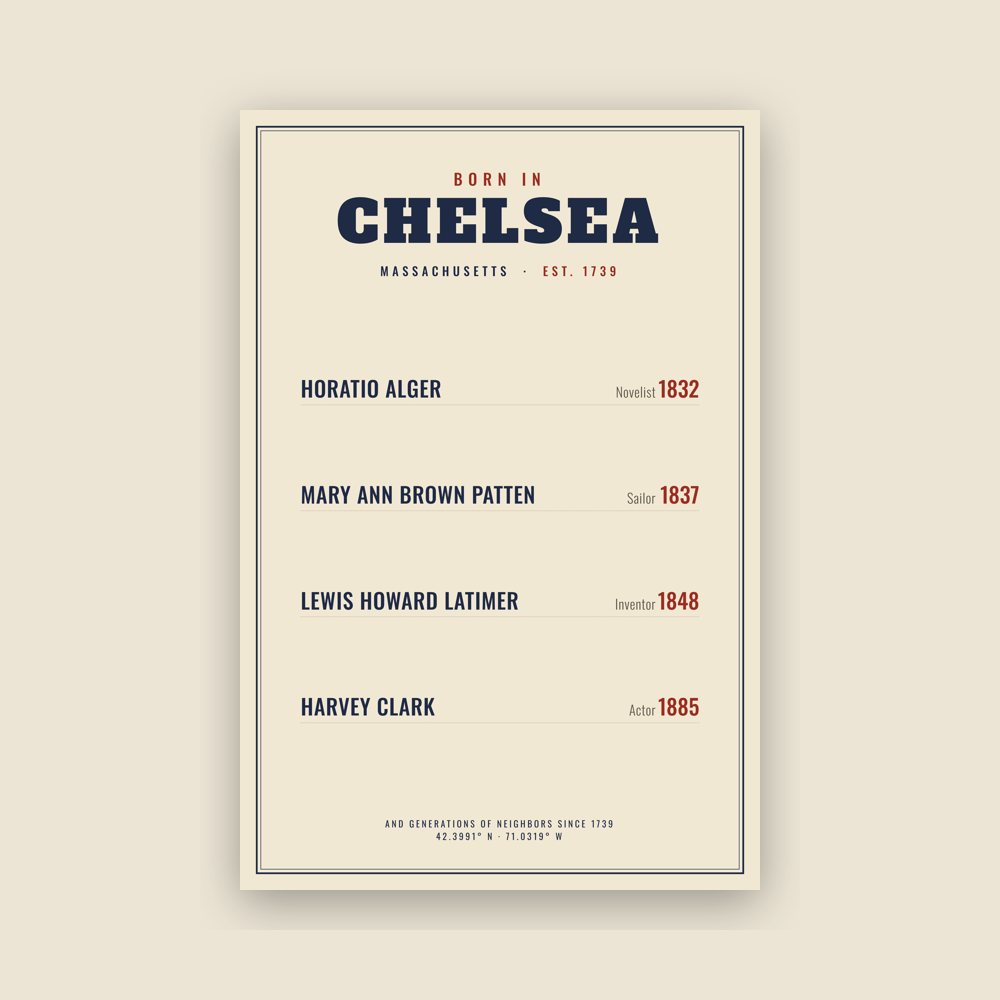
Famous natives, by birth year
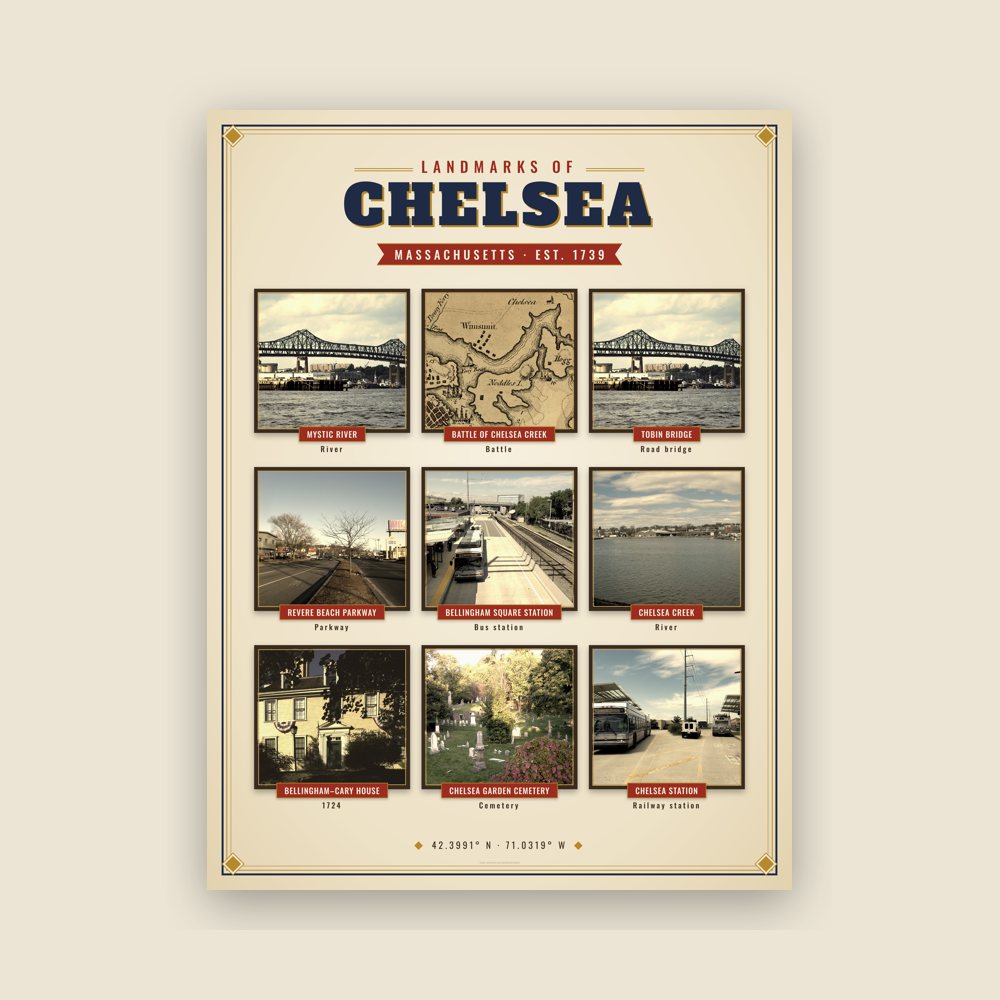
Nine local landmarks, archival matte
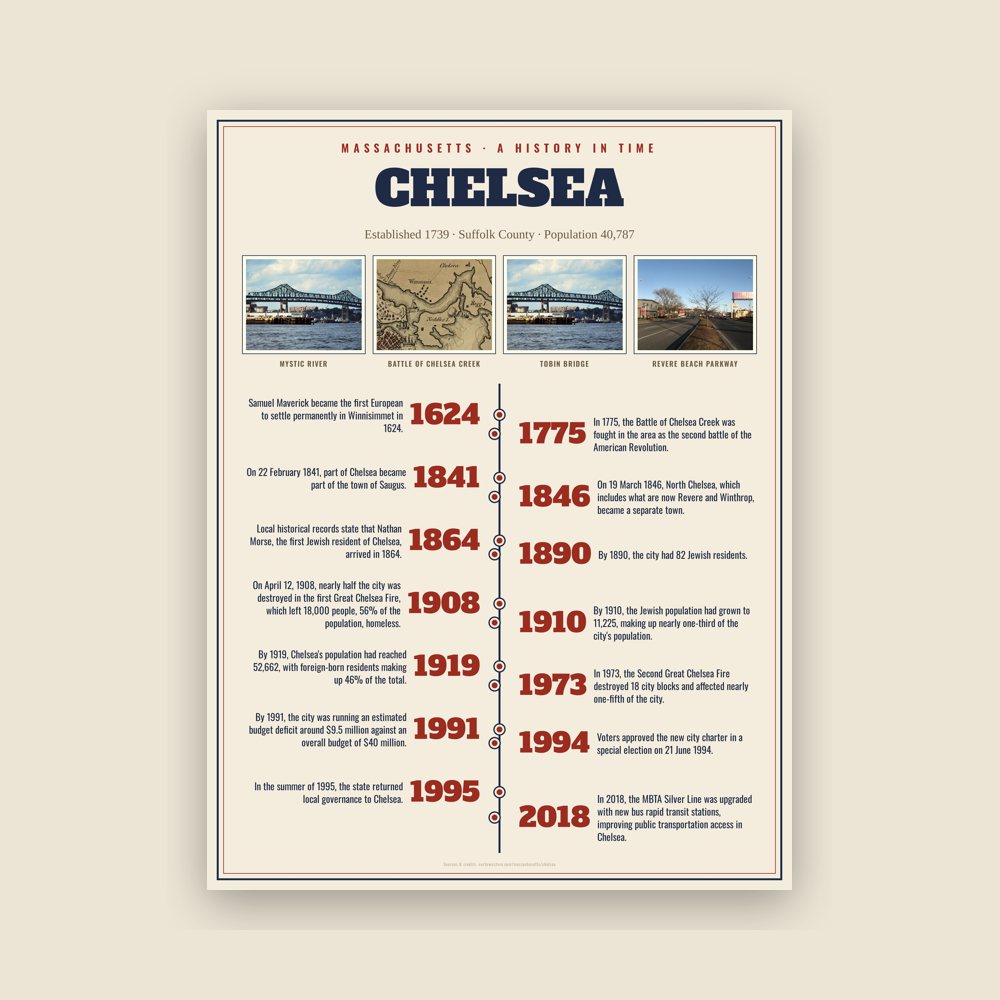
The town's story in dates, from its own records, for home or classroom
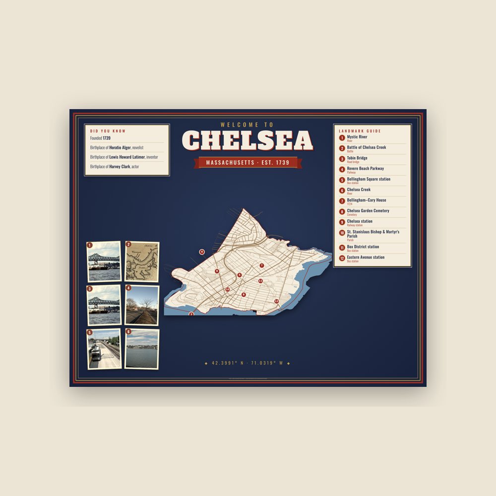
Map of local landmarks, washable fabric
Heavy-blend fleece, street map printed on the back
Soft Bella+Canvas jersey
Glossy ceramic, dishwasher safe
Ceramic keepsake, gold ribbon
Weatherproof, for the front walk
24″×16″, printed coir-look fibers, rubber back
12″×12″ printed wood, ready to hang
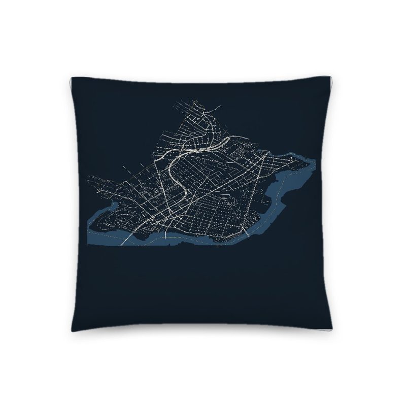
Soft-touch, zip cover
Sturdy all-over-print tote
Glossy top, cork back
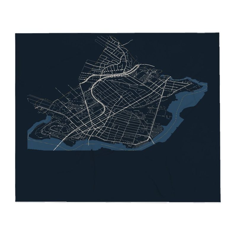
Soft fleece, 50″×60″
20 oz, double-wall stainless
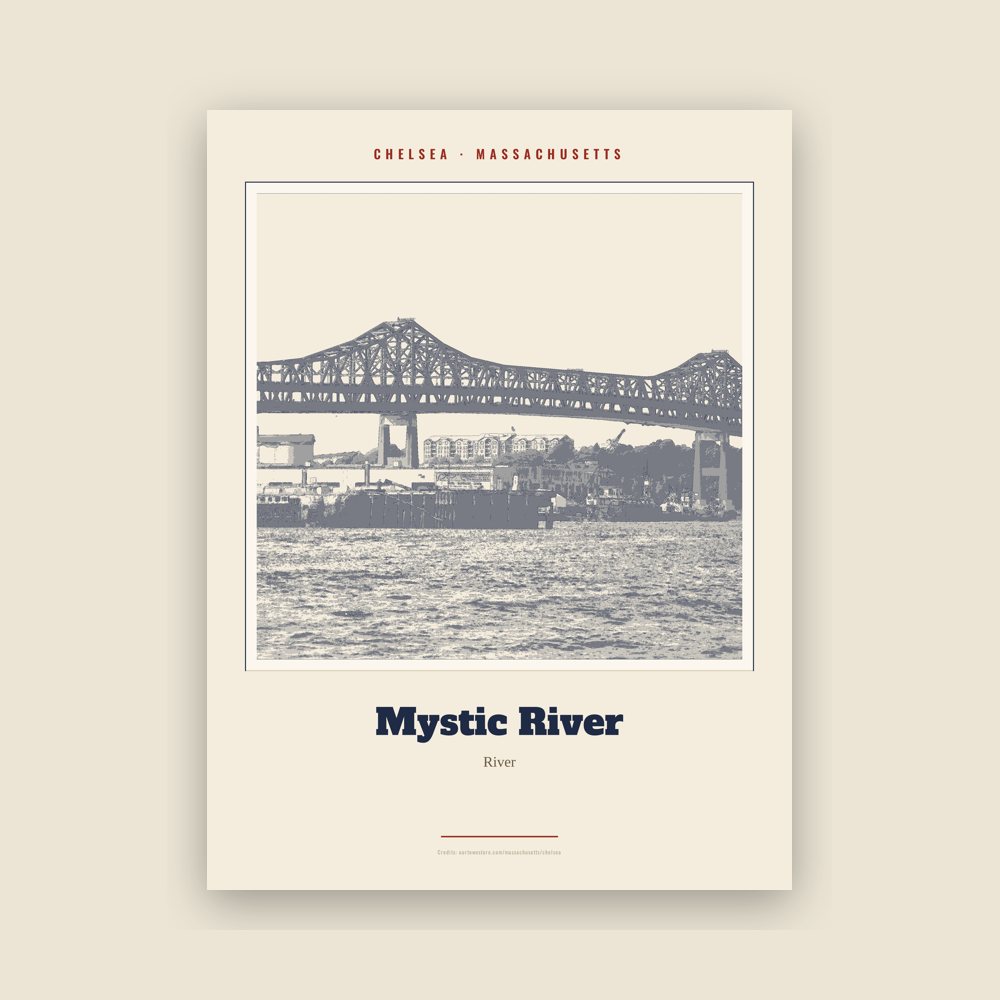
Archival matte print of a local landmark, credited to its photographer
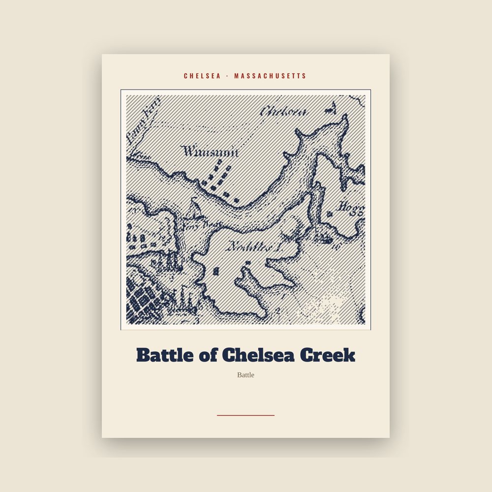
Archival matte print of a local landmark, credited to its photographer
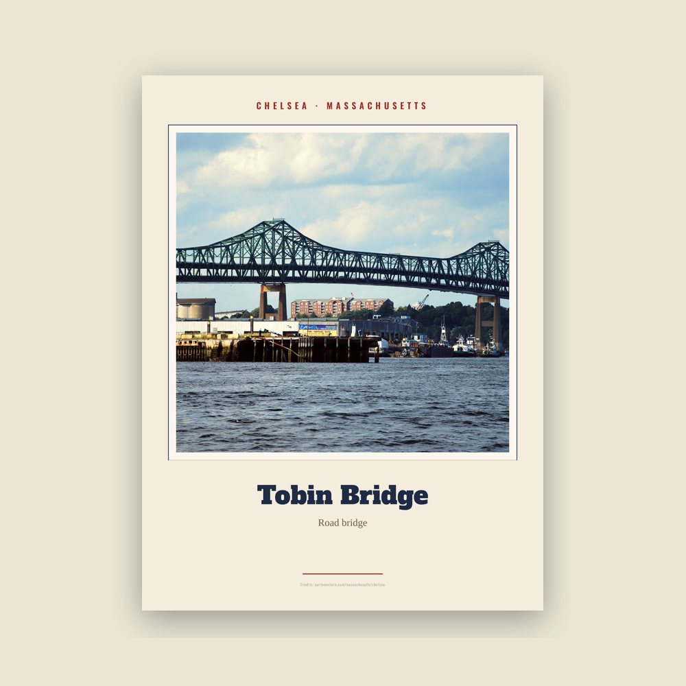
Archival matte print of a local landmark, credited to its photographer
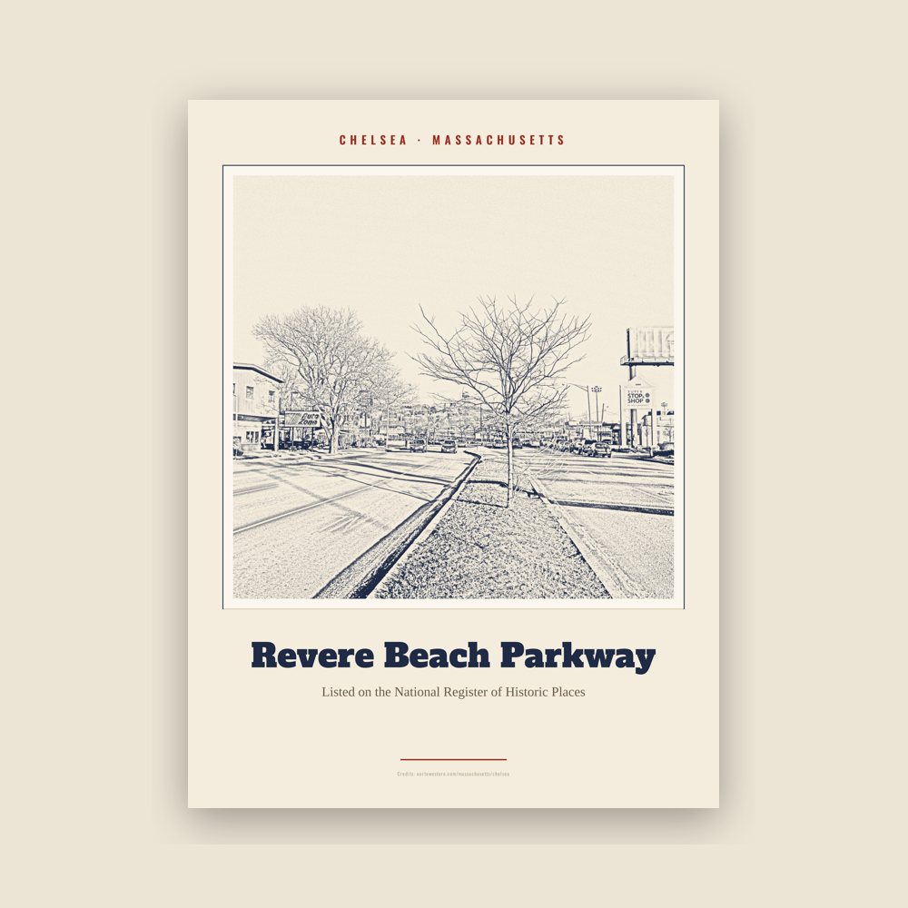
Archival matte print of a local landmark, credited to its photographer
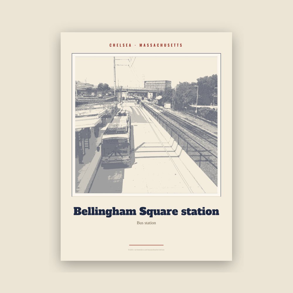
Archival matte print of a local landmark, credited to its photographer

Archival matte print of a local landmark, credited to its photographer
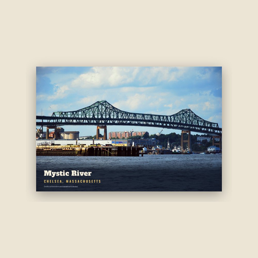
6″×4″ postcard, glossy front
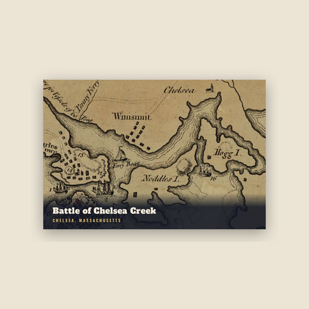
6″×4″ postcard, glossy front
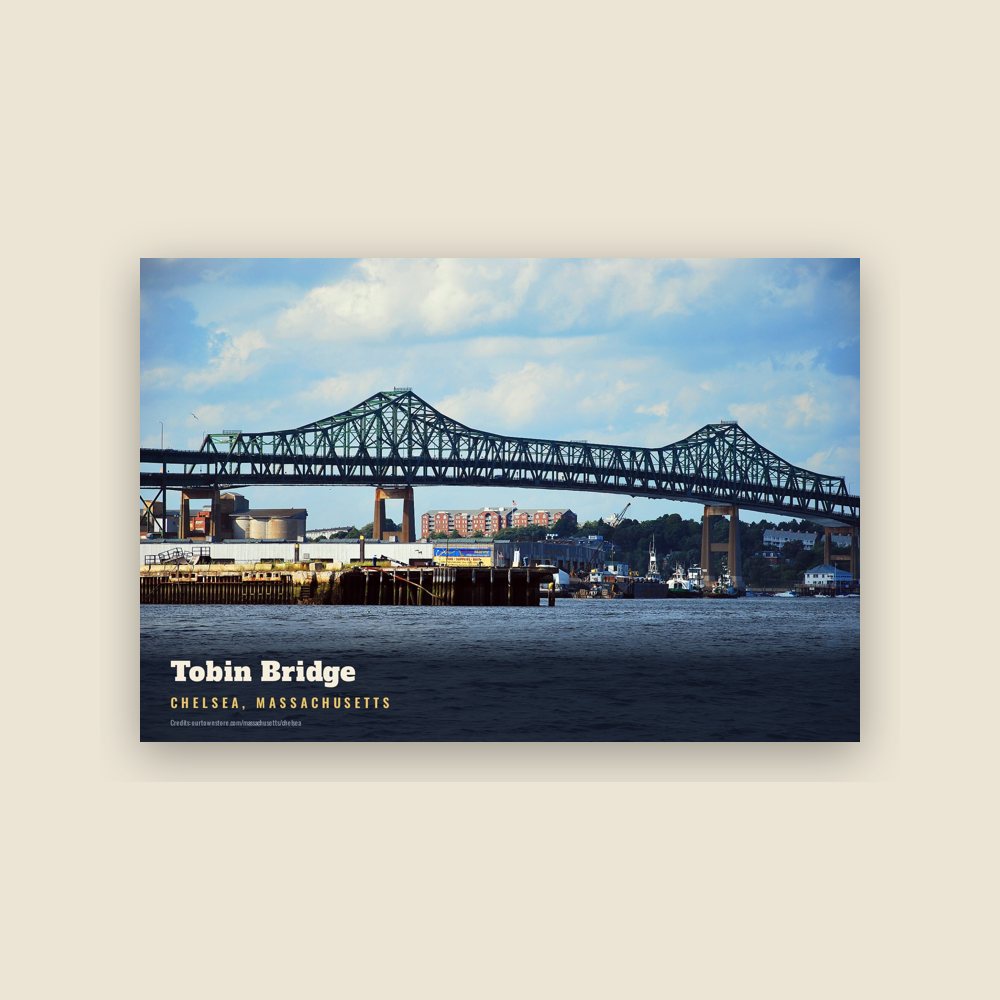
6″×4″ postcard, glossy front
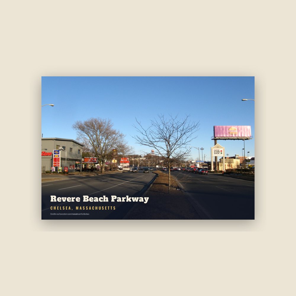
6″×4″ postcard, glossy front
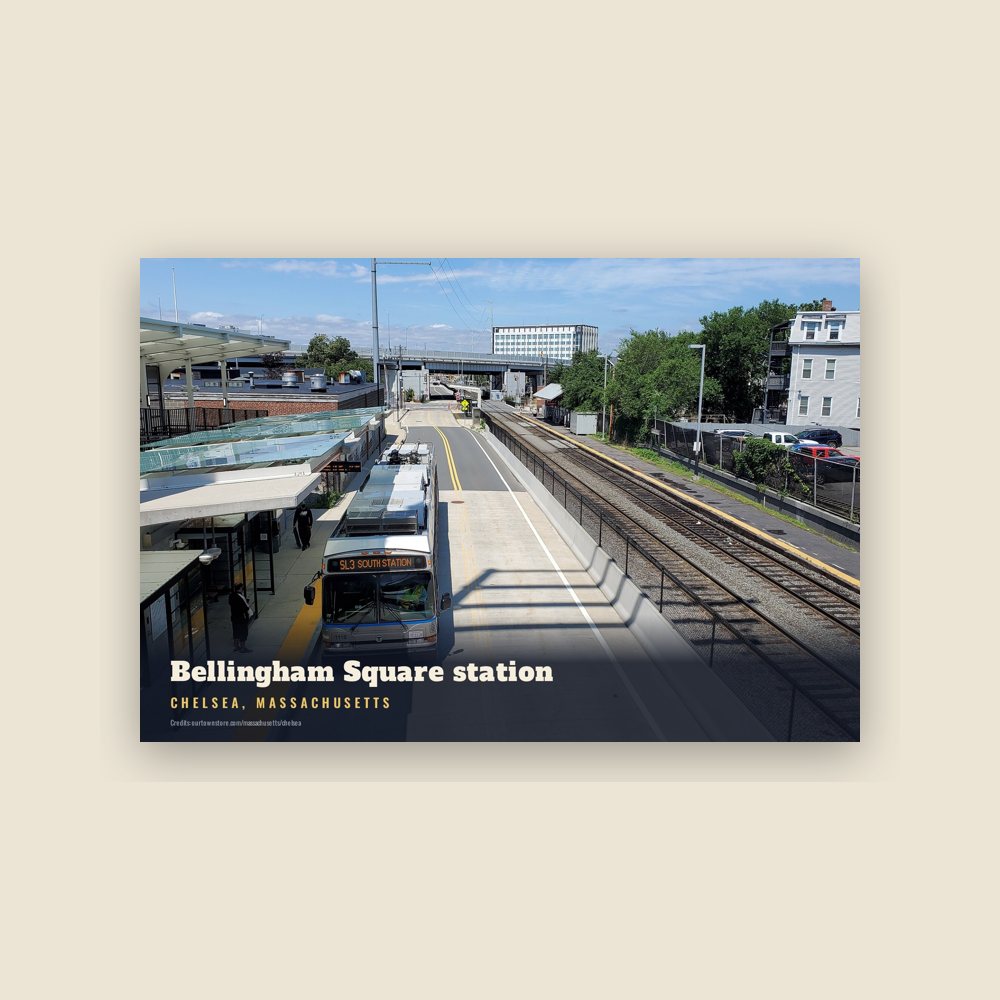
6″×4″ postcard, glossy front
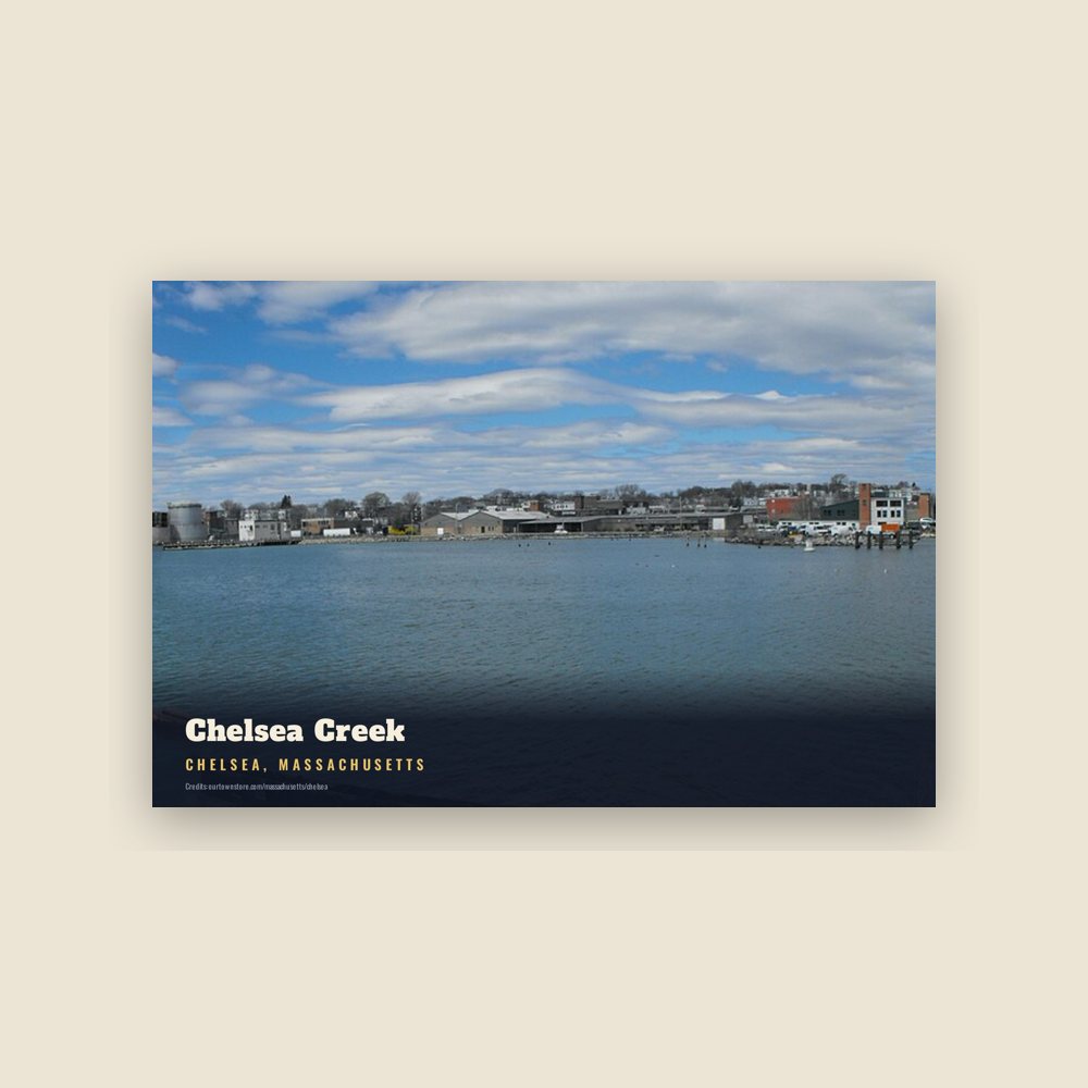
6″×4″ postcard, glossy front
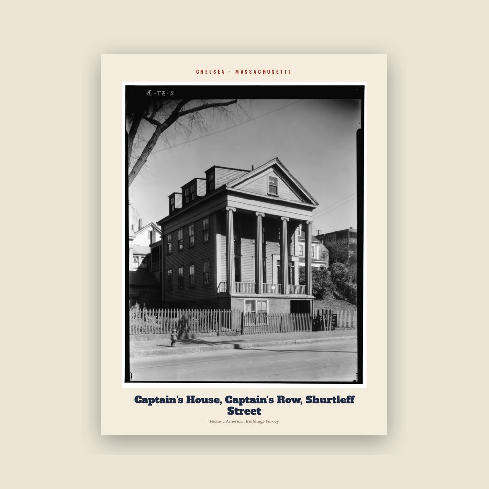
From the Library of Congress collections: a historic survey drawing or photograph of the town
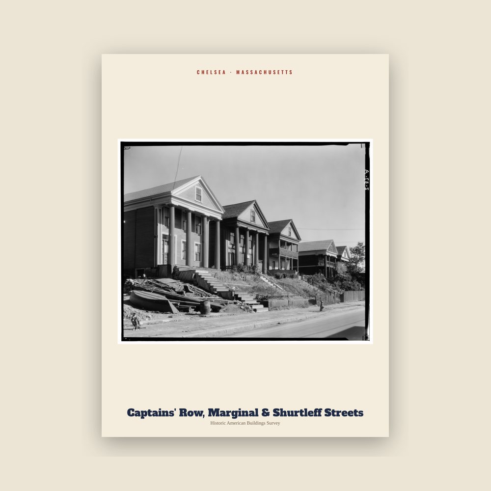
From the Library of Congress collections: a historic survey drawing or photograph of the town
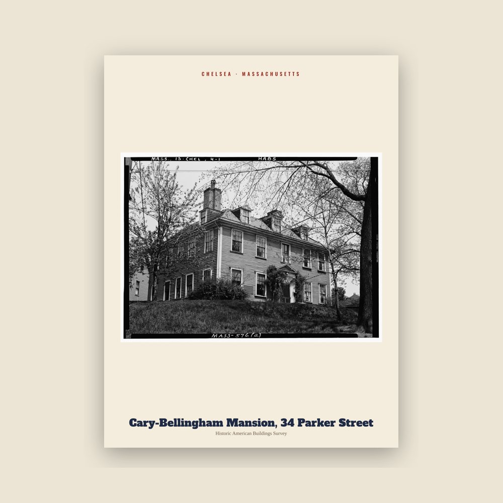
From the Library of Congress collections: a historic survey drawing or photograph of the town
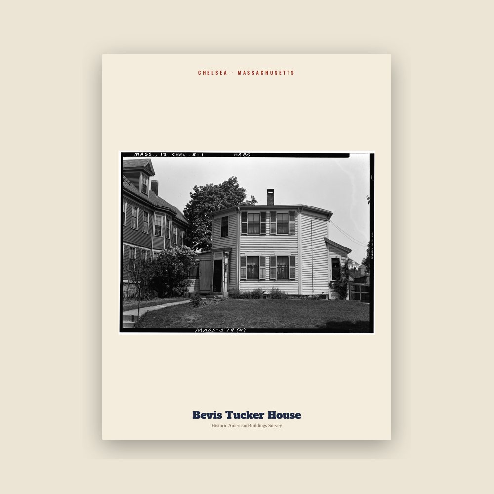
From the Library of Congress collections: a historic survey drawing or photograph of the town
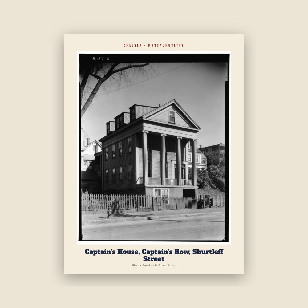
From the Library of Congress collections: a historic survey drawing or photograph of the town
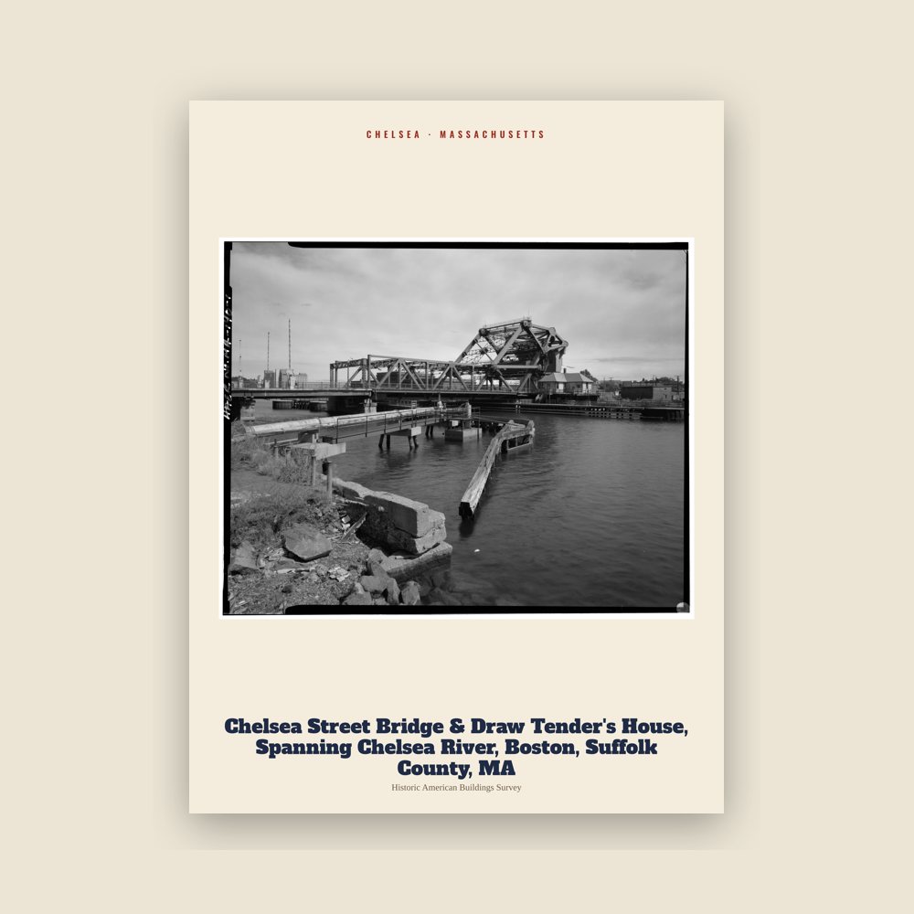
From the Library of Congress collections: a historic survey drawing or photograph of the town
Population 1930: 45,820 → 2010: 35,177 → 2014: 38,861 → 2020: 40,787
From Wikidata (CC0).
The area of Chelsea was first called Winnisimmet, meaning "swamp hill", by the Naumkeag tribe, which had lived there for thousands of years.
Samuel Maverick became the first European to settle permanently in Winnisimmet in 1624. His palisaded trading post is considered the first permanent settlement in Boston Harbor. In 1635, Maverick sold all of Winnisimmet except for his house and farm, to Richard Bellingham. The community remained part of Boston until it was incorporated in 1739 and named after Chelsea, a neighborhood in London, England.
In 1775, the Battle of Chelsea Creek was fought in the area as the second battle of the American Revolution. During the battle, American forces captured the armed schooner Diana. Part of George Washington's army was stationed in Chelsea during the Siege of Boston.
On 22 February 1841, part of Chelsea became part of the town of Saugus. On 19 March 1846, North Chelsea, which includes what are now Revere and Winthrop, became a separate town. Chelsea became a city in 1857.
By the middle of the 19th century, Chelsea had evolved into an industrial city and had become an essential center for the construction of wooden sailing ships.
As steam power became more common, local industry shifted toward factory production. New factories made rubber and elastic goods, boots and shoes, stoves, and adhesives. Many of these factories were located along Boston Harbor.
The Chelsea Naval Hospital was built during this period. Designed in 1836 by Alexander Parris, it became a local landmark.
Local historical records state that Nathan Morse, the first Jewish resident of Chelsea, arrived in 1864. By 1890, the city had 82 Jewish residents.
After 1890, Chelsea became a major destination for immigrants from Russia and Eastern Europe, particularly Jewish immigrants. By 1910, the Jewish population had grown to 11,225, making up nearly one-third of the city's population.
By the 1930s, Chelsea had about 20,000 Jewish residents from a total population of nearly 46,000. Because Chelsea covers a small area, it may have had more Jewish residents per square mile than any U.S. city outside New York City.
On April 12, 1908, nearly half the city was destroyed in the first Great Chelsea Fire, which left 18,000 people, 56% of the population, homeless. Many residents were taken in by those whose homes had survived, while others sought refuge in nearby Revere. The city took about two and a half years to rebuild and five years to surpass the scale of its pre-1908 infrastructure. Following the fire, the city was redesigned with wider streets and better access for emergency vehicles.
By 1919, Chelsea's population had reached 52,662, with foreign-born residents making up 46% of the total. The transition from a suburb to an industrial city saw the expansion of the local industrial sector, with shipbuilding, lumberyards, metalworks, and paint manufacturers operating along the waterfront. However, between 1940 and 1980, the population declined by 38%. Chelsea lost more residents after the 1950s due to the construction of the elevated Northeast Expressway, built to connect the North Shore suburbs to Boston via the Mystic River Bridge (later renamed for Boston Mayor Maurice J. Tobin).
In 1973, the Second Great Chelsea Fire destroyed 18 city blocks and affected nearly one-fifth of the city. The fire originated in Chelsea's "rag shop district", an area where streets contained many small businesses dealing in scrap materials and metal goods. Similar to the city's earlier major fire, the presence of flammable materials in this area contributed to the severity of the blaze. The fire spread rapidly through nearby areas with a high concentration of wood-frame buildings and closely spaced multifamily housing.
The following decades saw a decline in the city's economic and fiscal health, accompanied by a developing reputation for corruption, crime, and poverty. Chelsea's bond rating became so poor that it was unable to borrow money, forcing it to rely on state grants to stay afloat. By 1991, the city was running an estimated budget deficit around $9.5 million against an overall budget of $40 million.
In 1991, the Massachusetts state government declined to provide further financial assistance to Chelsea. In response, then-Mayor John "Butchie" Brennan asked the state to step in. The state passed a law that placed Chelsea under receivership. Local elected officials no longer had decision-making authority, and a state-appointed official took responsibility for running the city. This was the first time since the Great Depression that a city in Massachusetts had been placed under state control.
Governor William Weld appointed James Carlin as the first receiver. Lewis "Harry" Spence later followed him. Under their leadership, 14 of the city's 17 department heads were dismissed, and steps were taken to reduce corruption within city offices. During the same period, Brennan and two former mayors were convicted of federal crimes.
The receiver appointed Susan Podziba to facilitate the development of a new city charter, a process that included public meetings and an 18-member committee tasked with drafting the document.
Voters approved the new city charter in a special election on 21 June 1994. The new charter eliminated the position of mayor, changing the city's management from a mayor–alderman to a council–manager system, where a city manager is selected by city council members.
In the summer of 1995, the state returned local governance to Chelsea. The receivership concluded in 1995 after the city's budget deficit was eliminated and its bond rating reached triple-A.
In the early 2000s, Chelsea began a period of urban redevelopment. Several unused or underused areas were rebuilt as housing and mixed-use neighborhoods. One example is the Forbes Site along the Chelsea River, which was to be redeveloped into Forbes Park, covering about 17 acres (6.9 ha), including housing and small commercial spaces.
In 2018, the MBTA Silver Line was upgraded with new bus rapid transit stations, improving public transportation access in Chelsea.
Adapted (trimmed) from the Wikipedia article Chelsea, Massachusetts, revision 1378533947 by its contributors, licensed CC BY-SA 4.0.
We share a part of every Chelsea sale with local partners, and we'd love to print from your collection. Old photographs, maps and postcards make the best keepsakes.
Partner with us