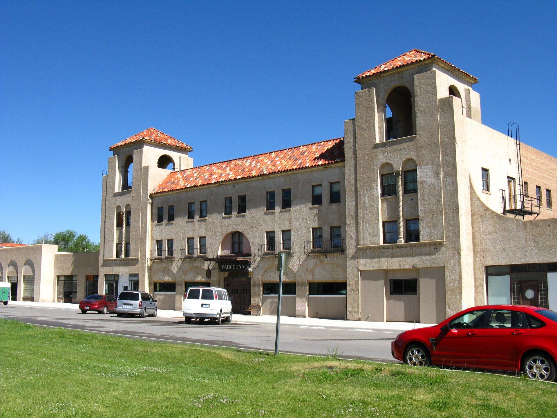
It was renamed Sinclair after PARCO was acquired during the Great Depression by Sinclair Consolidated Oil Corporation. Landmarks include Parco Historic District.
Every piece is drawn from Sinclair's own map data and historic archives, then printed and shipped from the USA when you order. No two towns look alike.
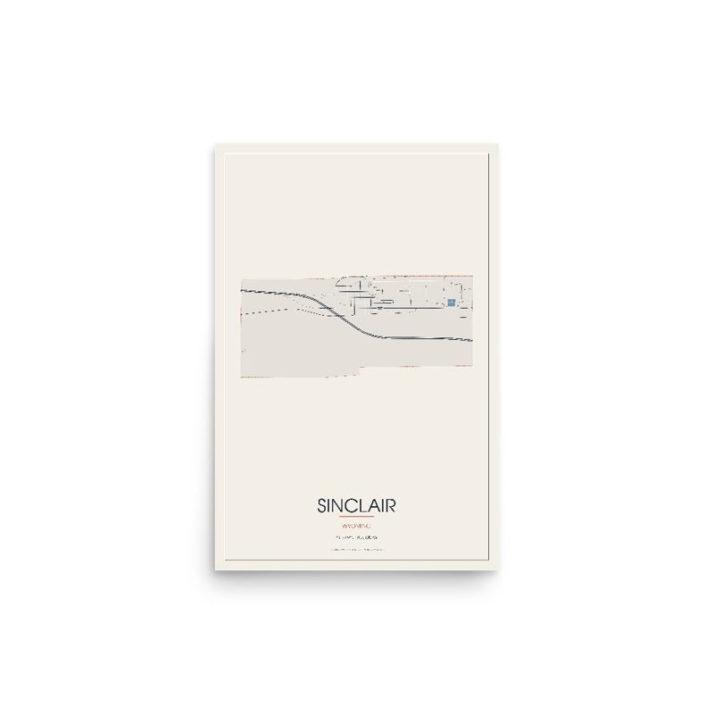
Every road in town, on archival matte paper
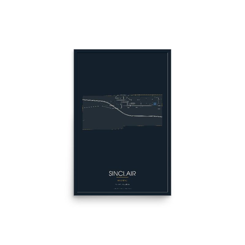
The same map, in navy and silver
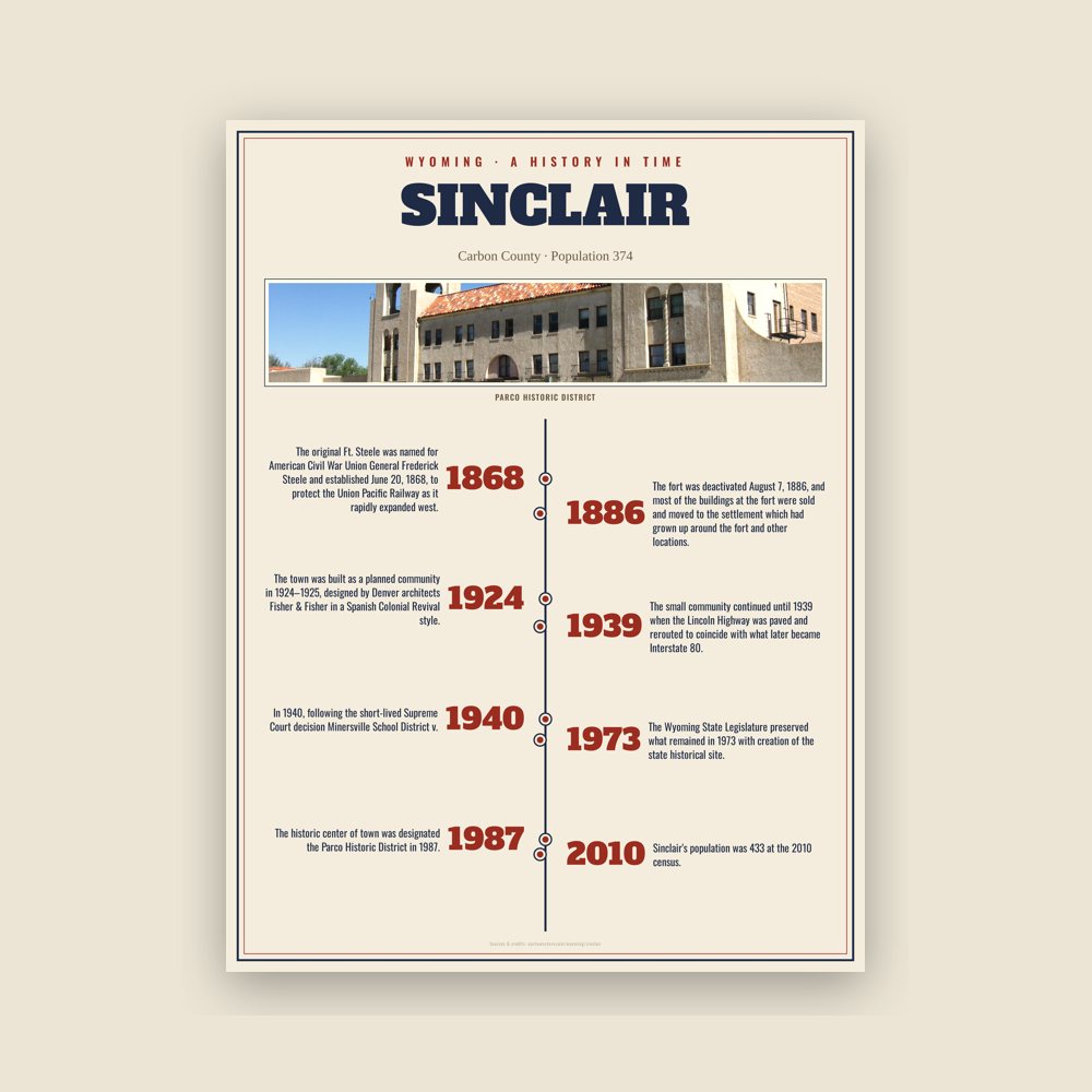
The town's story in dates, from its own records, for home or classroom
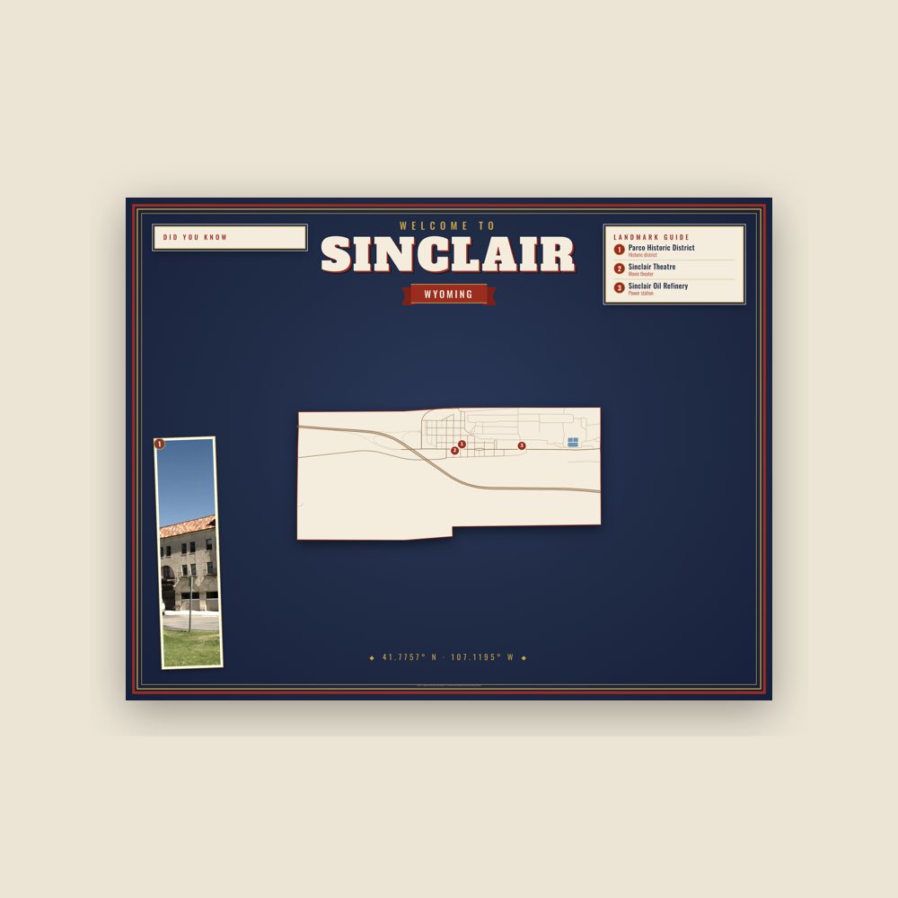
Map of local landmarks, washable fabric
Heavy-blend fleece, street map printed on the back
Soft Bella+Canvas jersey
Glossy ceramic, dishwasher safe
Ceramic keepsake, gold ribbon

Weatherproof, for the front walk
24″×16″, printed coir-look fibers, rubber back
12″×12″ printed wood, ready to hang
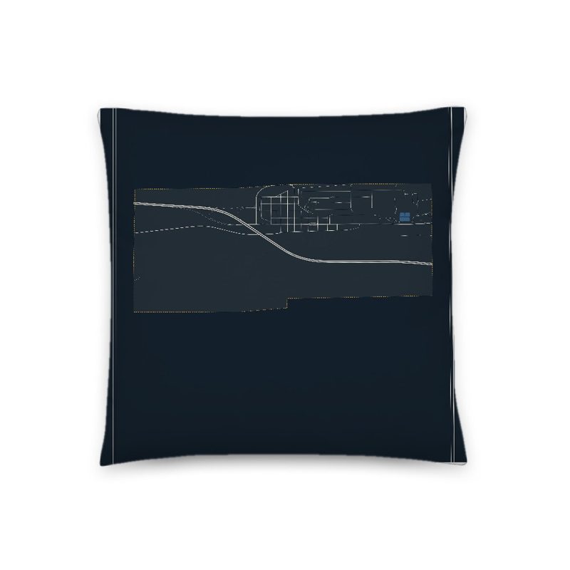
Soft-touch, zip cover
Sturdy all-over-print tote
Glossy top, cork back
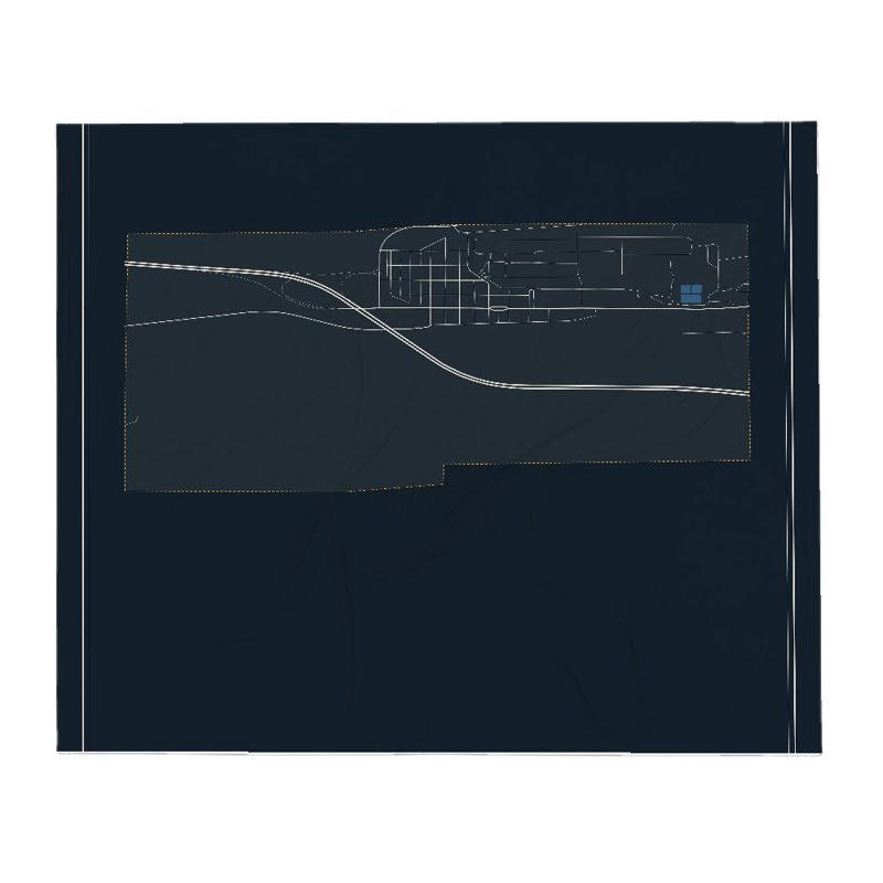
Soft fleece, 50″×60″
20 oz, double-wall stainless
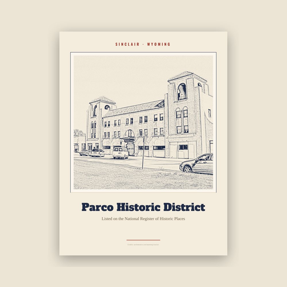
Archival matte print of a local landmark, credited to its photographer
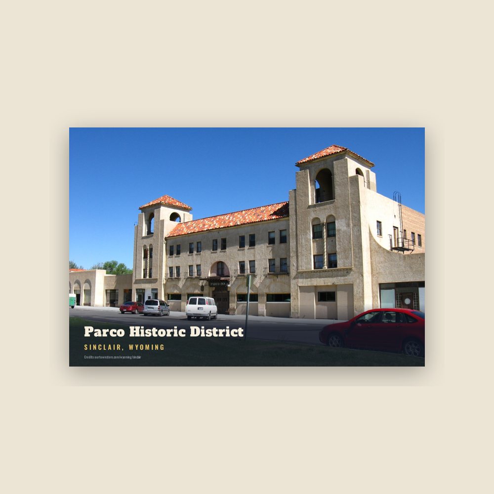
6″×4″ postcard, glossy front
Population 2010: 433 → 2020: 374
From Wikidata (CC0).
The town was originally called Parco, after the Producers & Refiners Corporation (or PARCO), which founded the refinery and the company town. It was renamed Sinclair after PARCO was acquired during the Great Depression by Sinclair Consolidated Oil Corporation. The original refinery, located just east of town, remains in use to this day. Sinclair's population was 433 at the 2010 census.
The town was built as a planned community in 1924–1925, designed by Denver architects Fisher & Fisher in a Spanish Colonial Revival style. The historic center of town was designated the Parco Historic District in 1987.
Just six miles east of Sinclair is the ghost town site of Benton, Wyoming at milepost 672.1 of the Union Pacific Railroad. As the terminal of the railroad at the time, Benton had a colorful three-month history which ended in September 1868 with a visit from Republican presidential candidate Ulysses S. Grant and the departure of the final overland wagon trains on the Mormon Trail headed for the Salt Lake Valley before completion of the railroad the following year.
Three miles east of the Benton site is Fort Fred Steele State Historic Site. The original Ft. Steele was named for American Civil War Union General Frederick Steele and established June 20, 1868, to protect the Union Pacific Railway as it rapidly expanded west. The fort was deactivated August 7, 1886, and most of the buildings at the fort were sold and moved to the settlement which had grown up around the fort and other locations. The small community continued until 1939 when the Lincoln Highway was paved and rerouted to coincide with what later became Interstate 80. In 1940, following the short-lived Supreme Court decision Minersville School District v. Gobitis, residents tarred and feathered the town's Jehovah's Witnesses. The Wyoming State Legislature preserved what remained in 1973 with creation of the state historical site.
Adapted (trimmed) from the Wikipedia article Sinclair, Wyoming, revision 1377590146 by its contributors, licensed CC BY-SA 4.0.
We share a part of every Sinclair sale with local partners, and we'd love to print from your collection. Old photographs, maps and postcards make the best keepsakes.
Partner with us