Cart 0
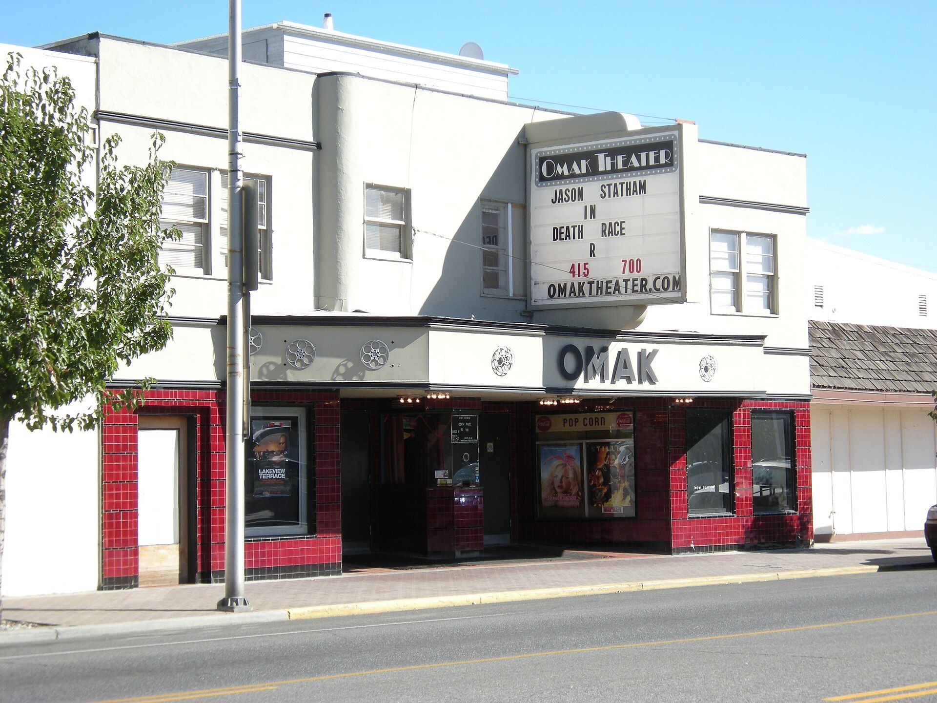
Omak Theater, Omak, Washington

OMAK

Washington · Est. 1911
Shop the collection

With a population of 4,860 as of 2020, distributed over a land area of 3.43 square miles, Omak is the largest municipality of Okanogan County and the largest municipality in Central Washington north of Wenatchee. Landmarks include Omak Airport, Mid-Valley Hospital and Suicide Race. Omak is the birthplace of Sadie Maubet Bjornsen, cross-country skier.

The Omak Collection

Made for Omak. Printed to order.

Omak, Washington gifts and souvenirs: 37 designs made from Omak's own map, landmarks and history, from $10 to $99. Printed to order and shipped free in the USA.

PopularPrice
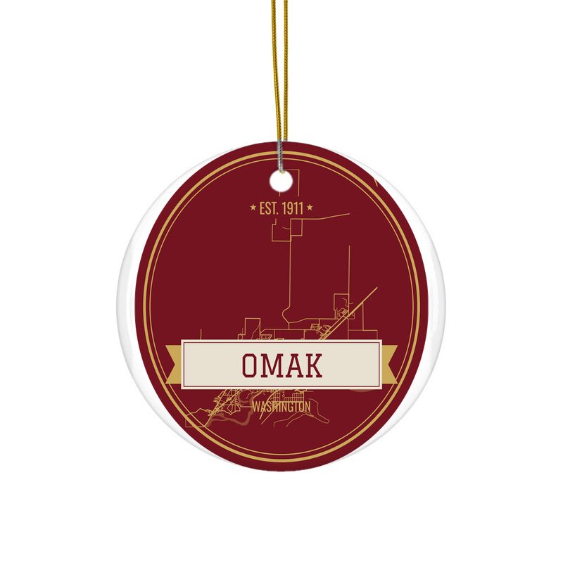
Omak Hometown Ornament$23
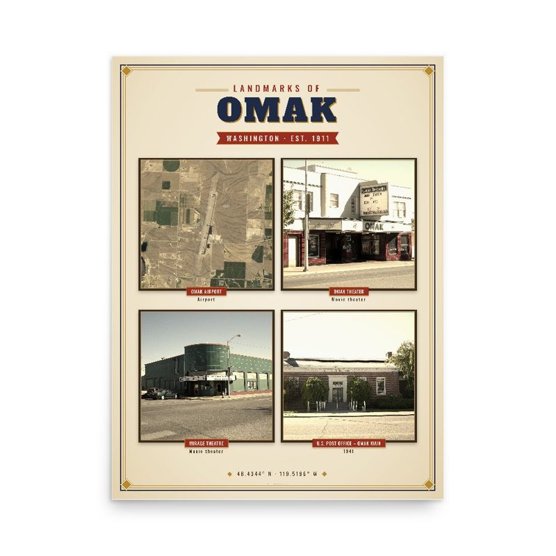
Omak Landmarks Photo Posterfrom $40
Omak Vintage Travel Posterfrom $40
Omak Varsity Crewneckfrom $57
Omak Est. Teefrom $33
Omak Town Line Mugfrom $26
Omak Hometown Ornament

Omak Hometown Ornament

Ceramic keepsake, gold ribbon, in 4 styles

$23
Omak Landmarks Photo Poster

Omak Landmarks Photo Poster

Nine local landmarks, archival matte

from $40
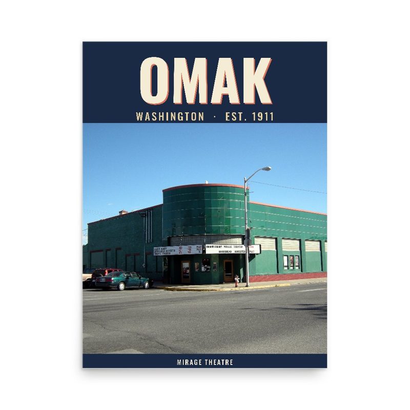
Omak Vintage Travel Poster

Omak Vintage Travel Poster

Its landmark photo in a classic travel-poster layout

from $40
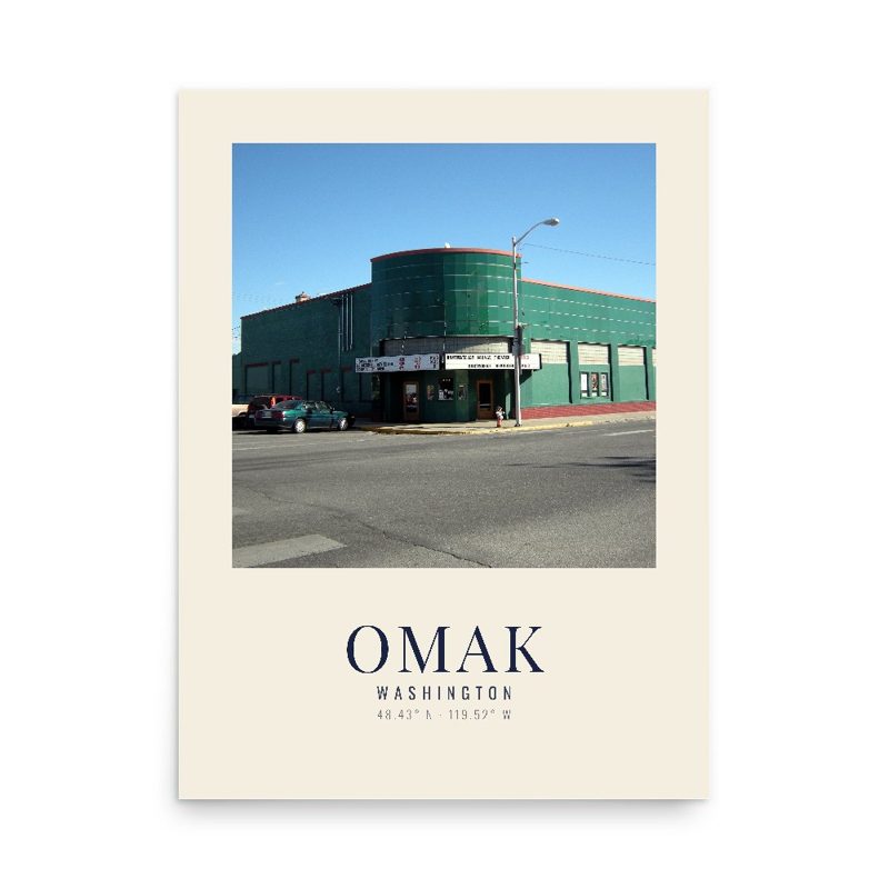
Omak Photo Art Print

Omak Photo Art Print

A local landmark photo as a gallery print

from $40
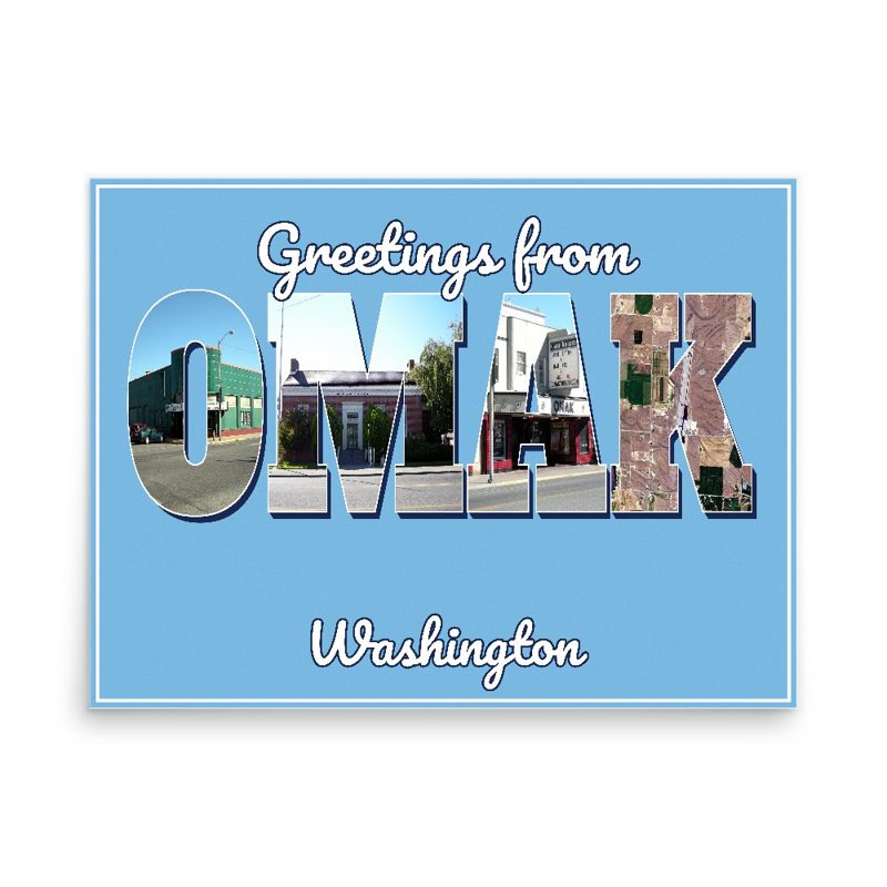
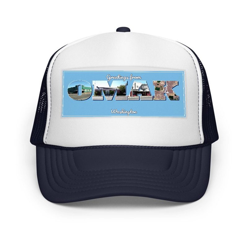
Omak “Greetings From” Poster

Omak “Greetings From” Poster

Classic large-letter postcard art, filled with local photos

from $40
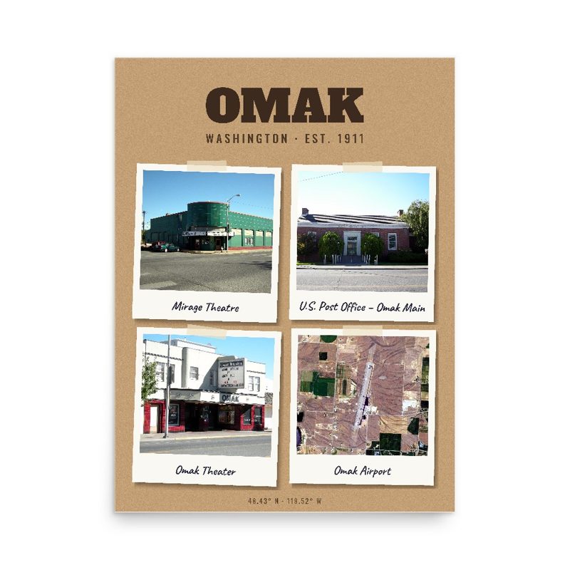
Omak Snapshot Collage Poster

Omak Snapshot Collage Poster

Six local landmarks as instant photos on kraft paper

from $40
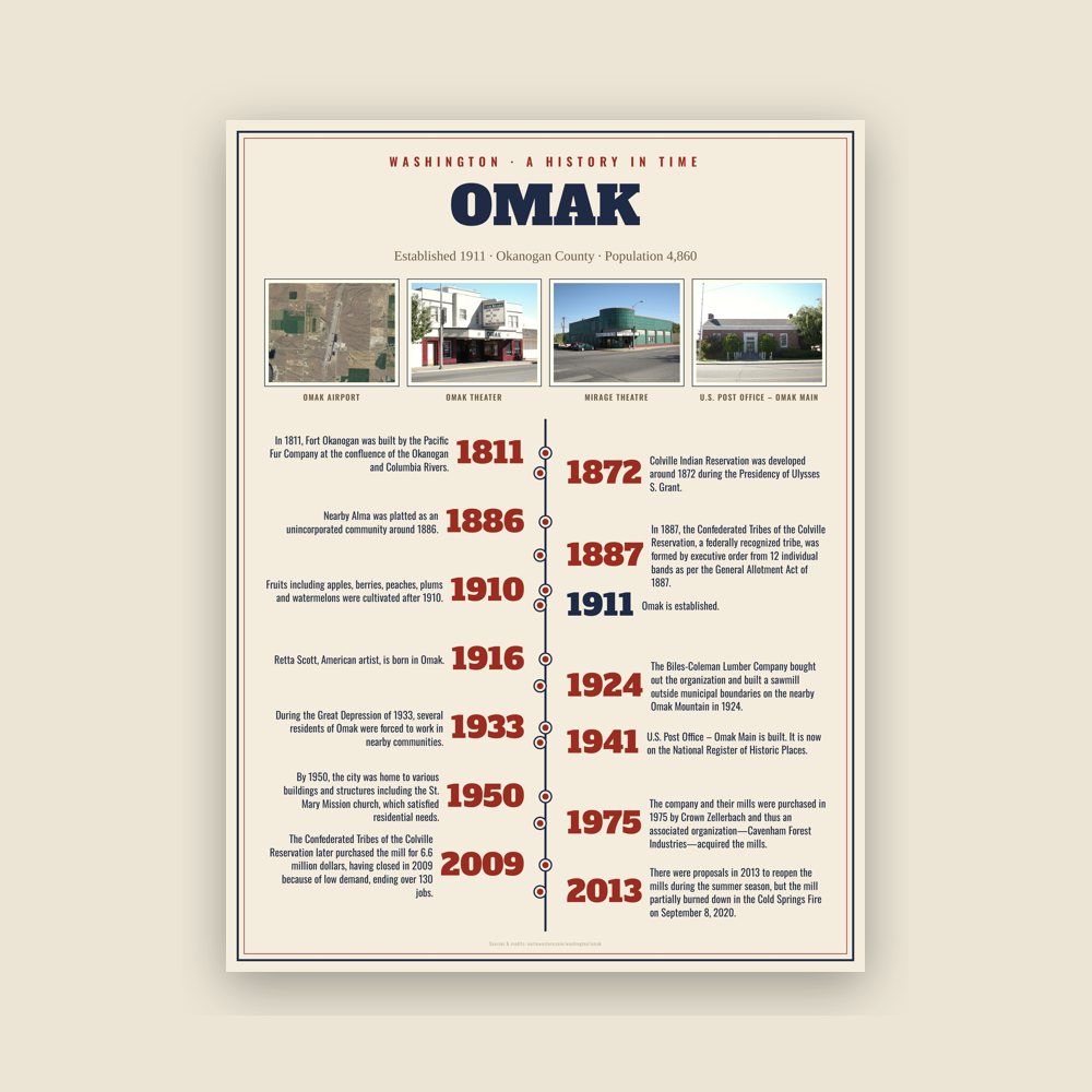
Omak History Timeline Poster

Omak History Timeline Poster

The town's story in dates, from its own records, for home or classroom

from $44
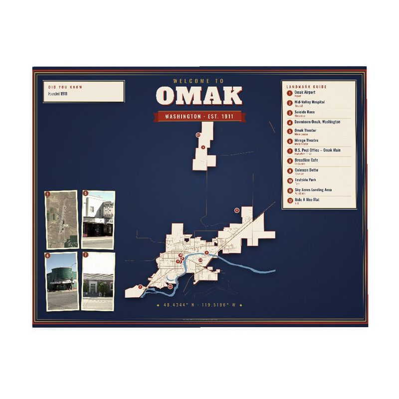
Omak Map Placemat

Omak Map Placemat

Map of local landmarks, washable fabric

$31
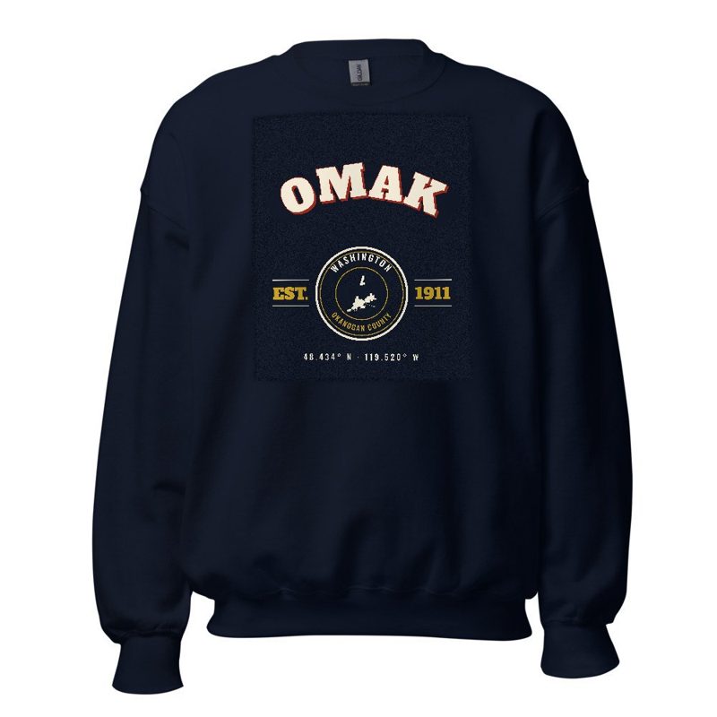
Omak Varsity Crewneck

Omak Varsity Crewneck

Heavy-blend fleece, street map printed on the back

from $57
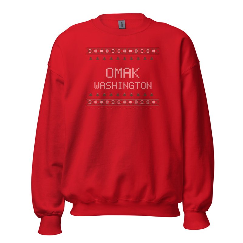
Omak Hometown Knit Sweater

Omak Hometown Knit Sweater

Red heavy-blend crewneck, knit-stitch town print

from $57
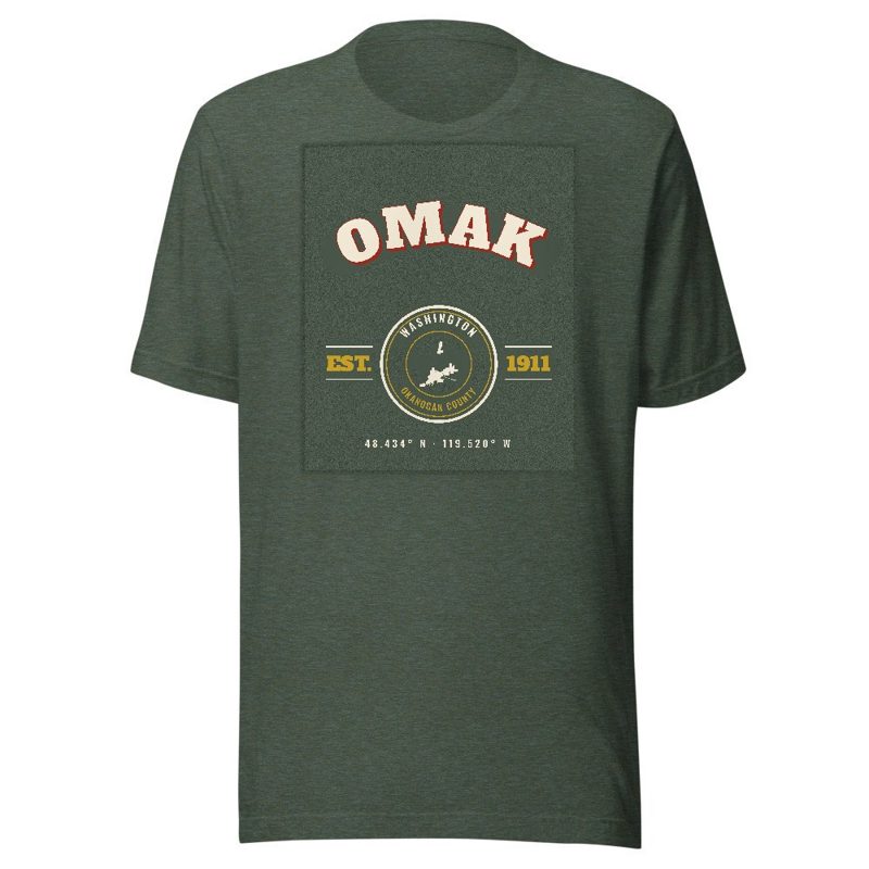
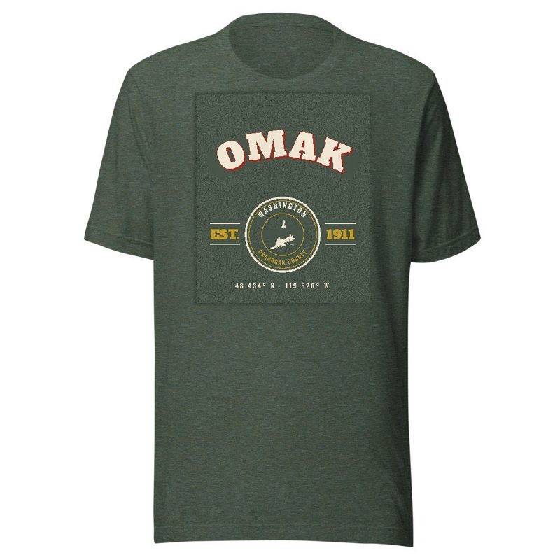
Omak Est. Tee

Omak Est. Tee

Soft Bella+Canvas jersey

from $33
Omak Est. Youth Tee

Omak Est. Youth Tee

Kids' Bella+Canvas jersey, youth sizes

$30
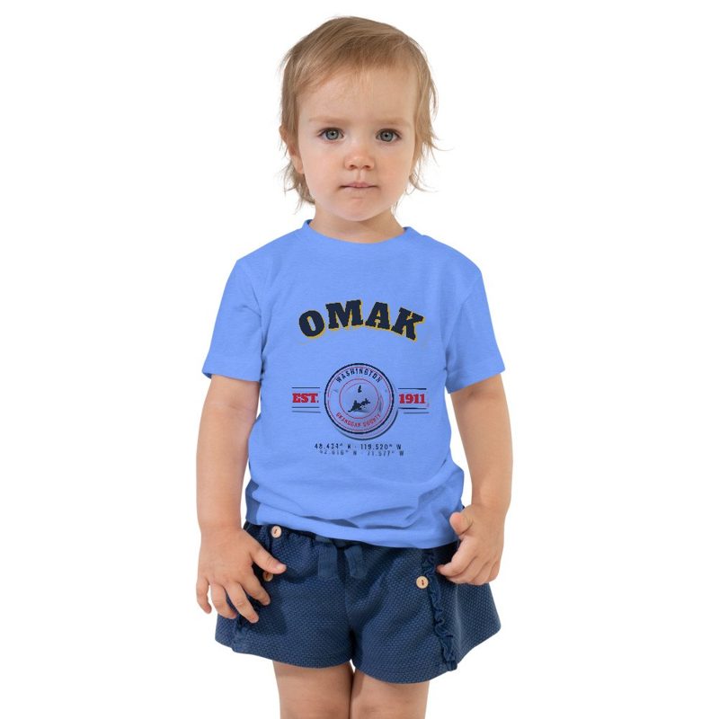
Omak Est. Toddler Tee

Omak Est. Toddler Tee

Bella+Canvas toddler jersey

$29
Omak Est. Baby One Piece

Omak Est. Baby One Piece

Bella+Canvas baby bodysuit

$30
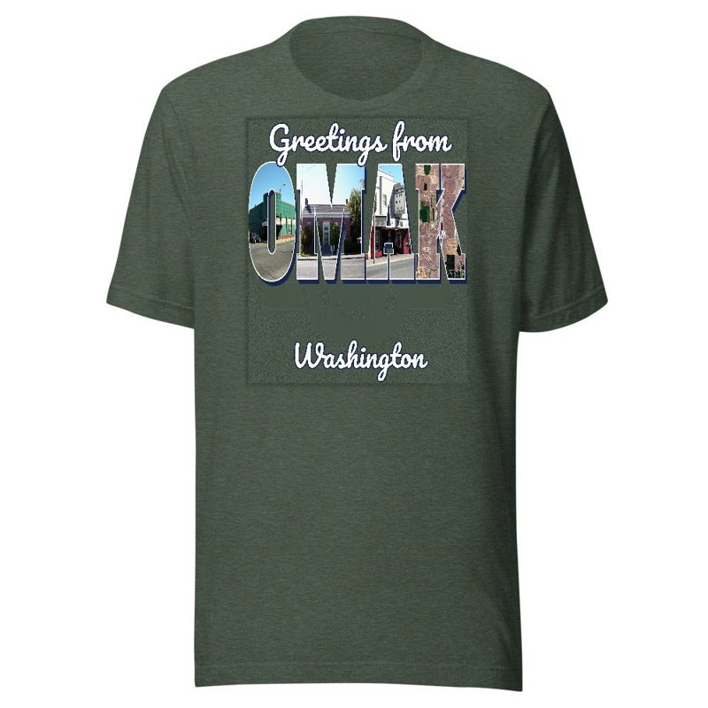
Omak “Greetings From” Tee

Omak “Greetings From” Tee

Large-letter postcard art filled with local photos

from $35
Omak Town Line Mug

Omak Town Line Mug

Glossy ceramic, dishwasher safe

from $26
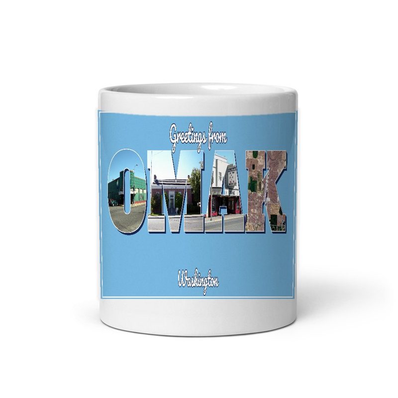
Omak “Greetings From” Mug

Omak “Greetings From” Mug

Large-letter postcard art filled with local photos, 11 oz ceramic

from $29
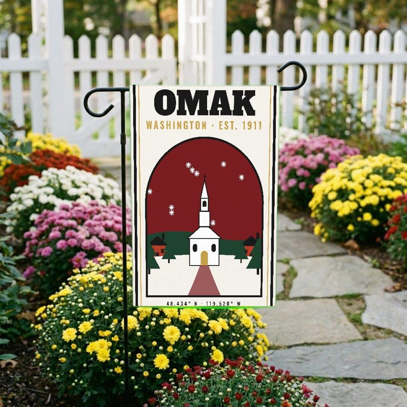
Omak Garden Flag

Omak Garden Flag

Weatherproof, for the front walk

$31
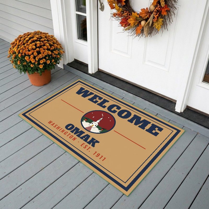
Omak Welcome Doormat

Omak Welcome Doormat

24″×16″, printed coir-look fibers, rubber back

$66
Omak Hometown Wood Sign

Omak Hometown Wood Sign

12″×12″ printed wood, ready to hang

$48
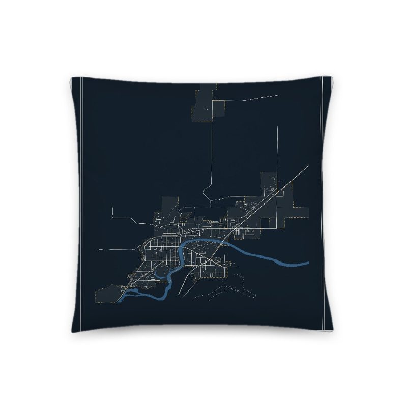
Omak Map Throw Pillow

Omak Map Throw Pillow

Soft-touch, zip cover

$47
Omak Landmark Photo Pillow

Omak Landmark Photo Pillow

A local landmark photo with the town name, 18″×18″

$49
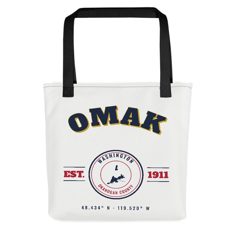
Omak Market Tote

Omak Market Tote

Sturdy all-over-print tote

$37
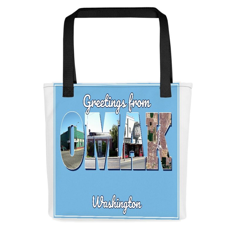
Omak “Greetings From” Tote

Omak “Greetings From” Tote

Large-letter postcard art on a sturdy tote

$37
Omak “Greetings From” Trucker Cap

Omak “Greetings From” Trucker Cap

Foam-front trucker, printed (not embroidered) with local photos

$33
Omak Cork Coaster

Omak Cork Coaster

Glossy top, cork back

$16
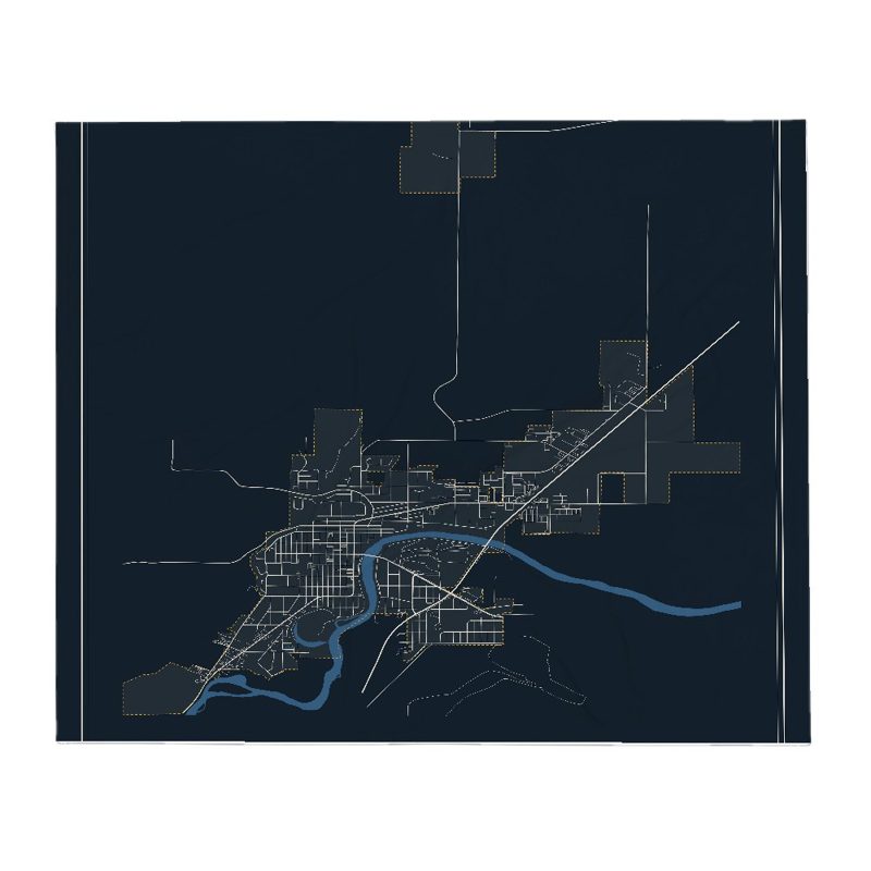
Omak Street Map Throw Blanket

Omak Street Map Throw Blanket

Soft fleece, 50″×60″

from $72
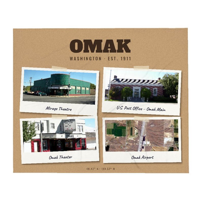
Omak Snapshot Collage Blanket

Omak Snapshot Collage Blanket

Six local landmarks as instant photos, soft fleece 50″×60″

from $76
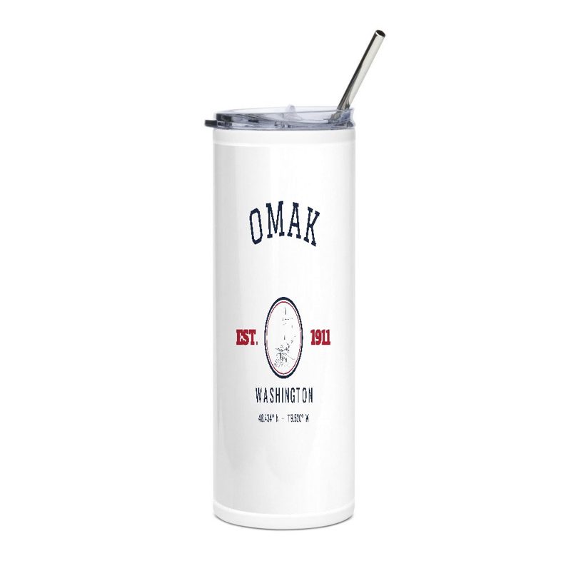
Omak Est. Tumbler

Omak Est. Tumbler

20 oz, double-wall stainless

$51
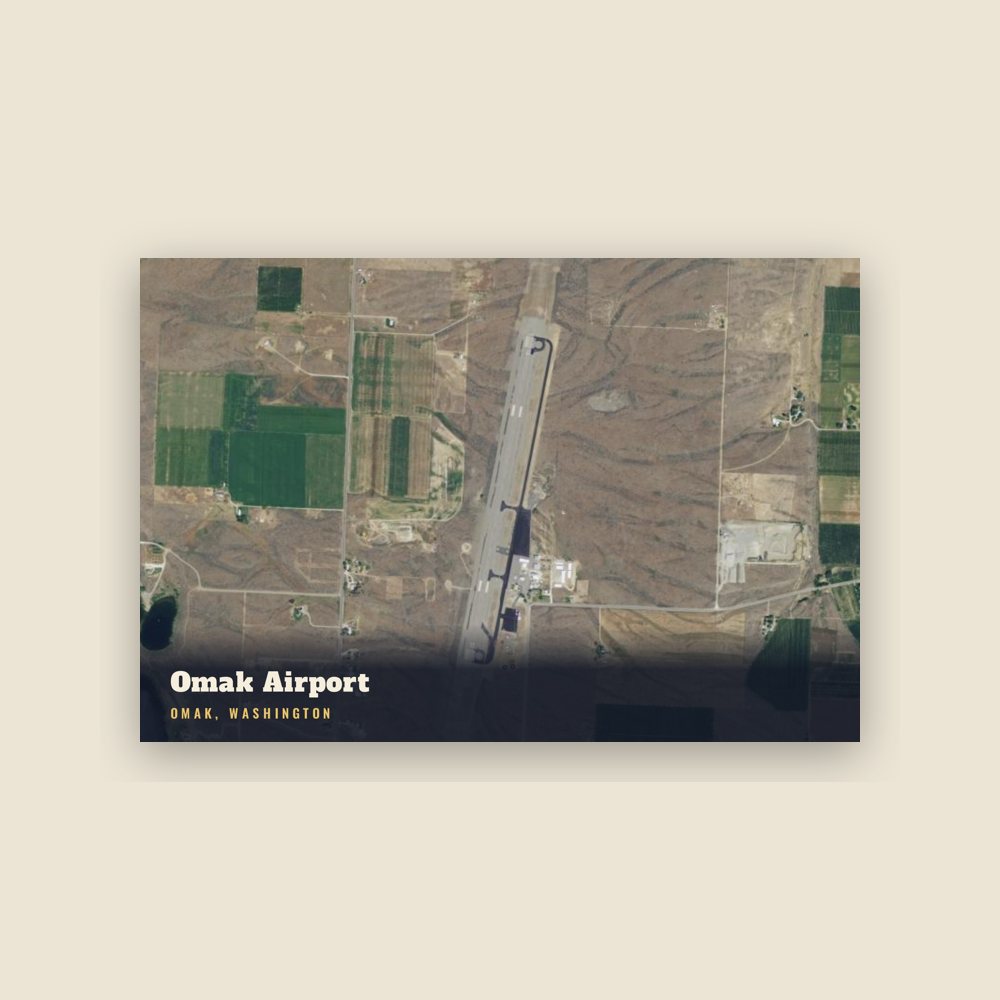
Omak Omak Airport Postcard

Omak Omak Airport Postcard

6″×4″ postcard, glossy front

$10
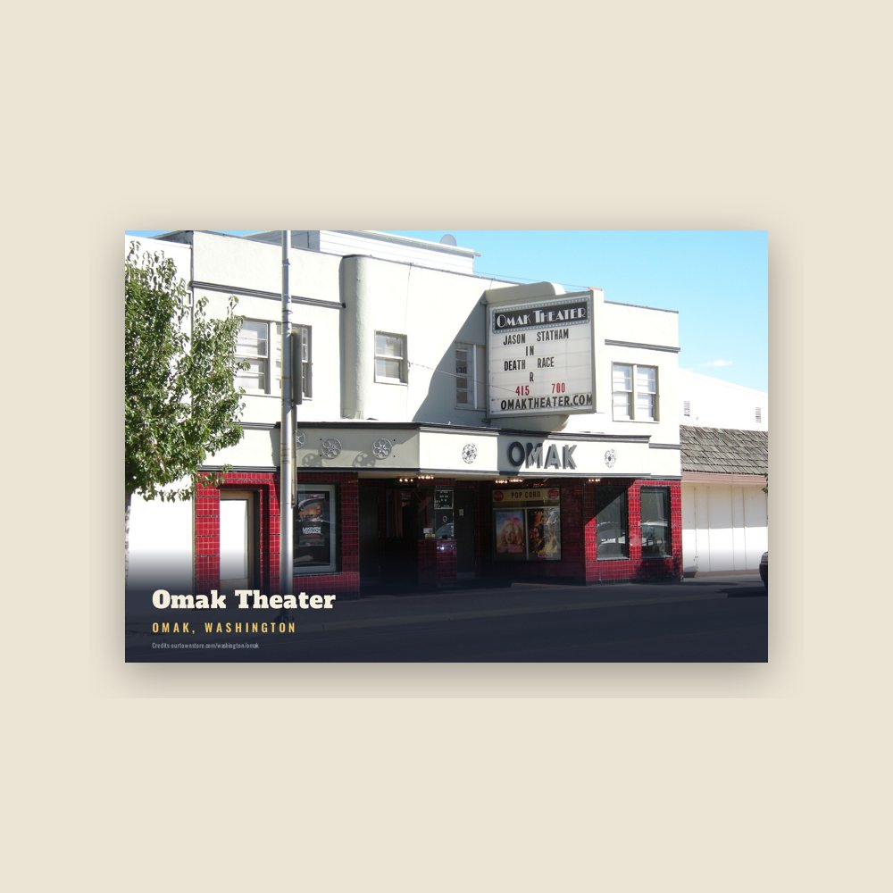
Omak Omak Theater Postcard

Omak Omak Theater Postcard

6″×4″ postcard, glossy front

$10
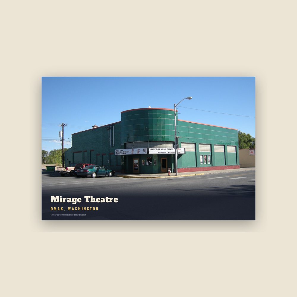
Omak Mirage Theatre Postcard

Omak Mirage Theatre Postcard

6″×4″ postcard, glossy front

$10
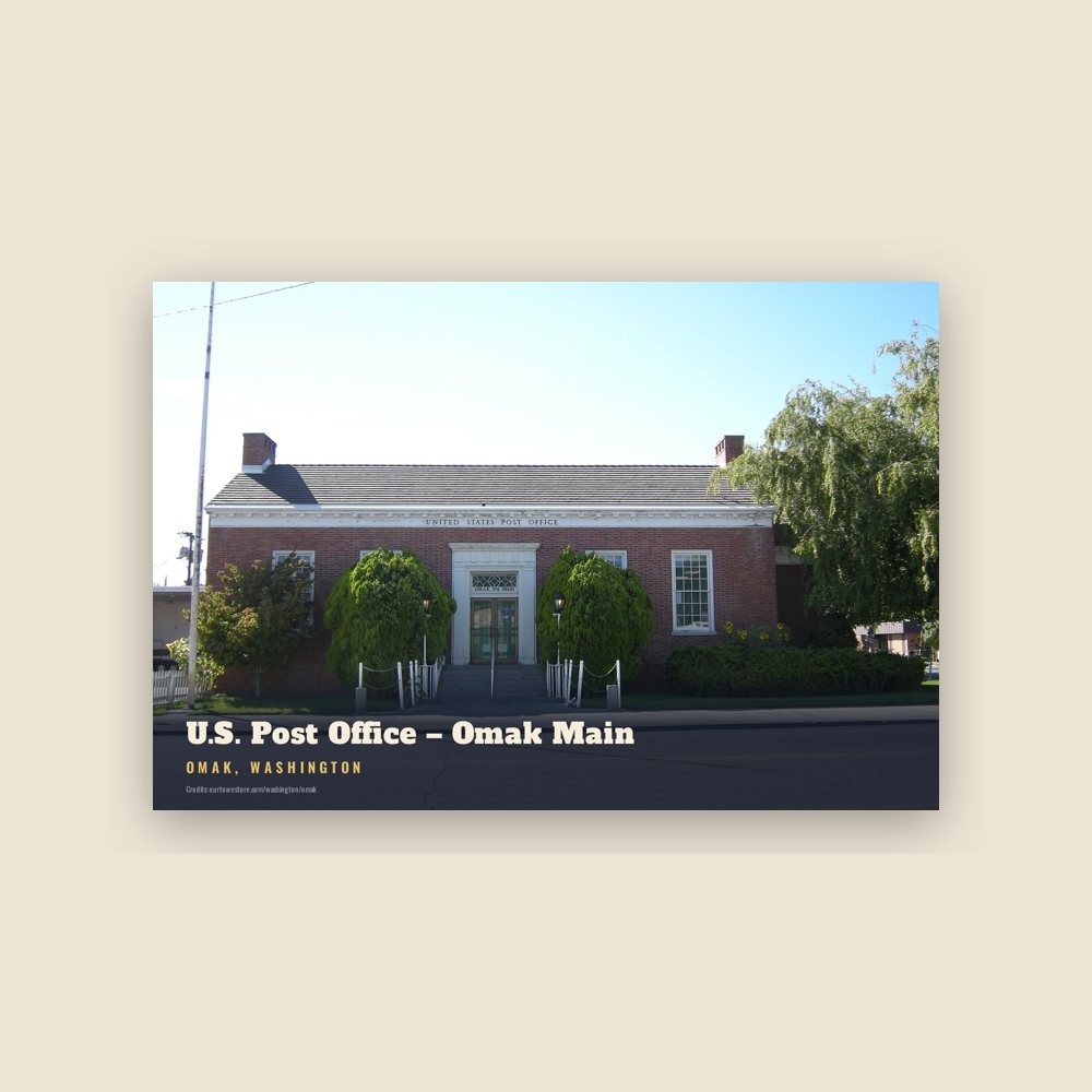
Omak U.S. Post Office – Omak Main Postcard

Omak U.S. Post Office – Omak Main Postcard

6″×4″ postcard, glossy front

$10
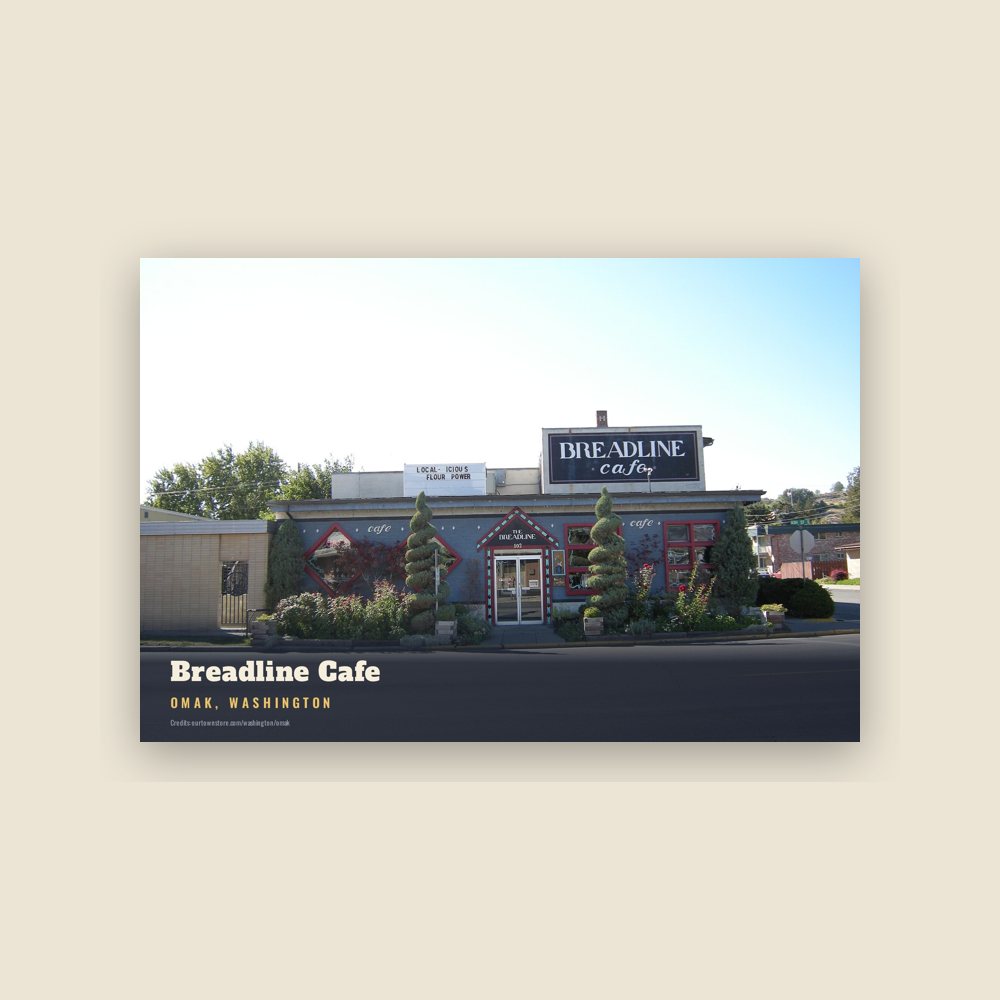
Omak Breadline Cafe Postcard

Omak Breadline Cafe Postcard

6″×4″ postcard, glossy front

$10
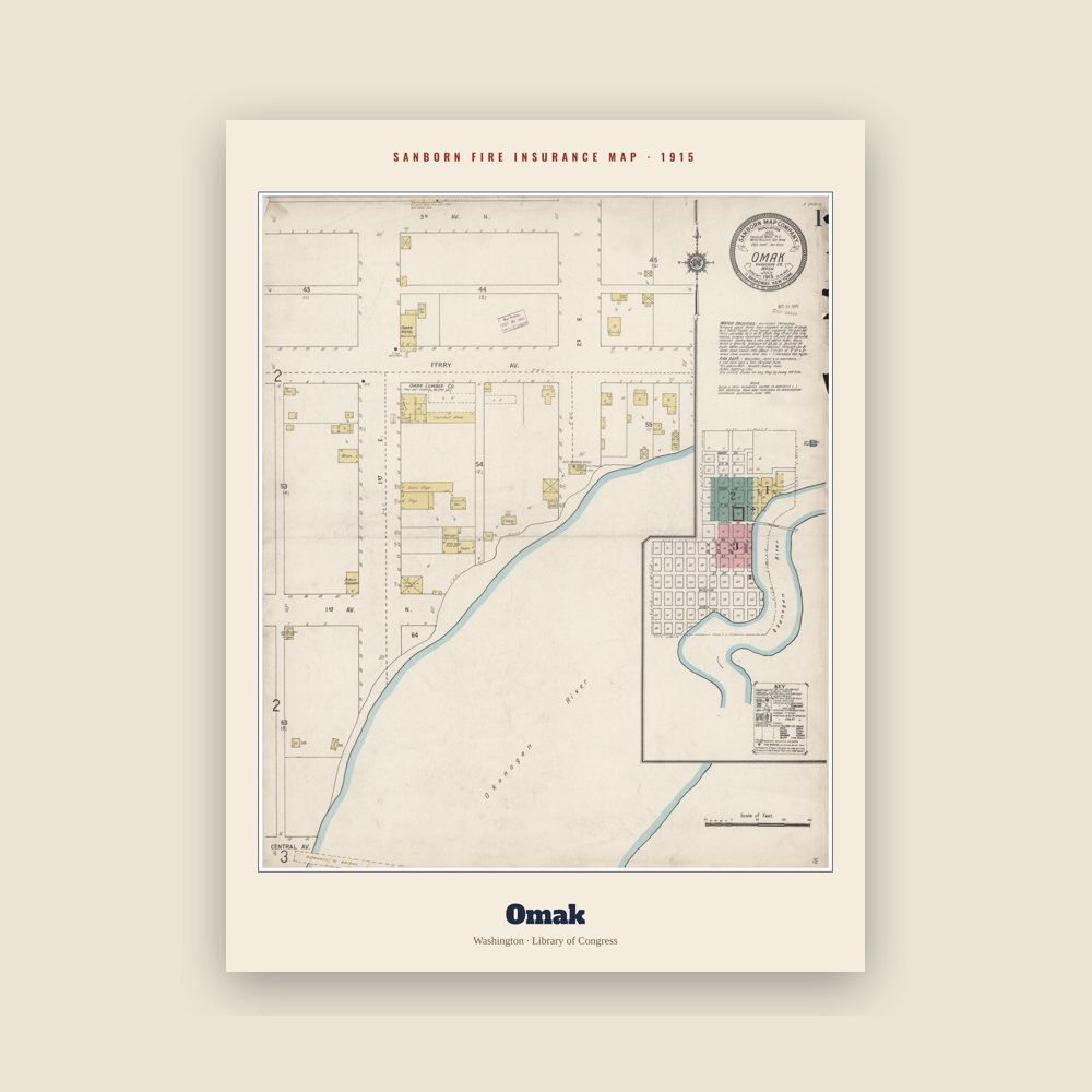
Omak Sanborn Map Print

Omak Sanborn Map Print

The town's earliest Sanborn fire-insurance map, drawn building by building and hand-coloured, from the Library of Congress

from $44
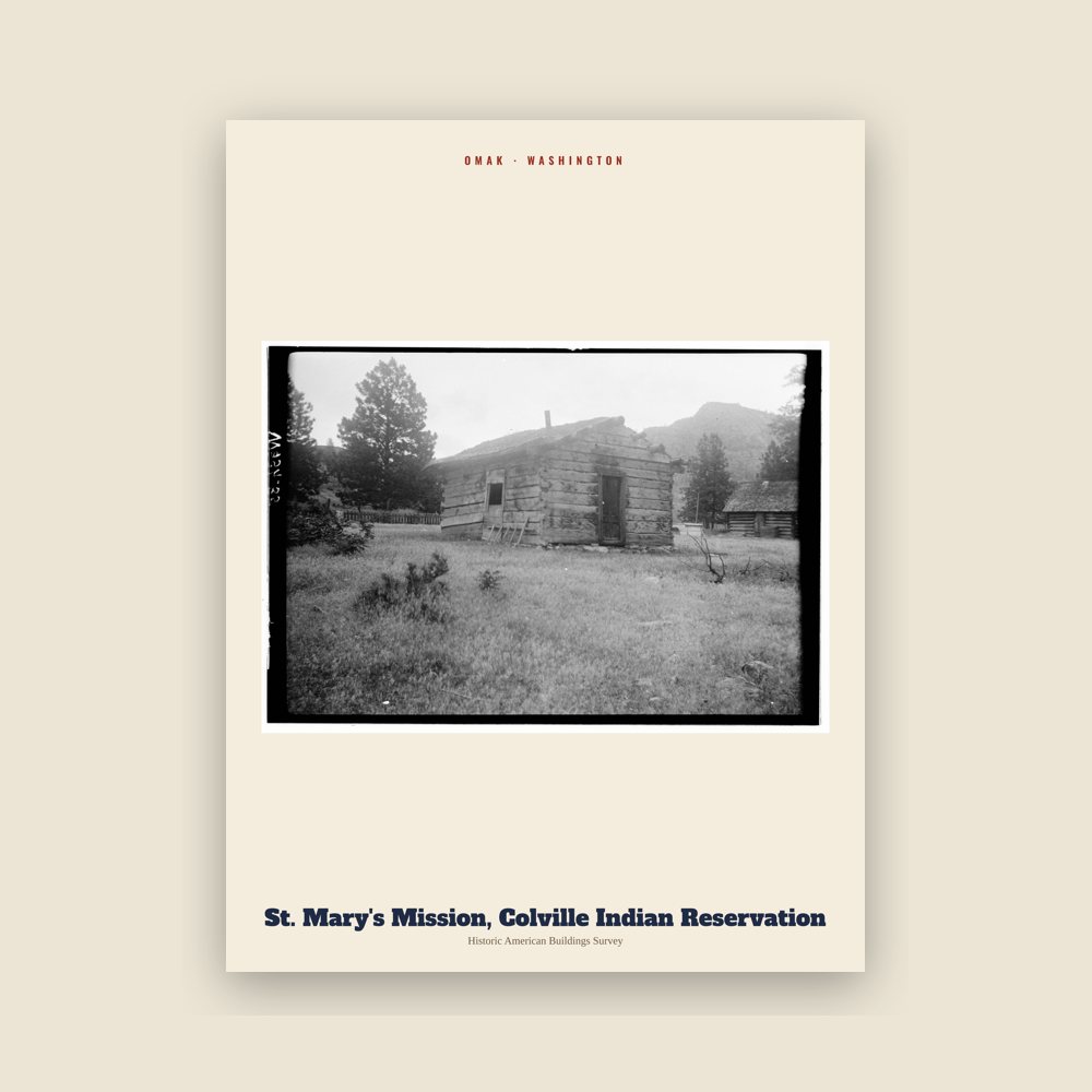
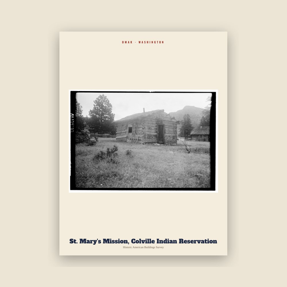
Omak St. Mary's Mission, Colville Indian Reservation Archive Print

Omak St. Mary's Mission, Colville Indian Reservation Archive Print

From the Library of Congress collections: a historic survey drawing or photograph of the town

from $44
Omak St. Mary's Mission, Colville Indian Reservation Archive Print

Omak St. Mary's Mission, Colville Indian Reservation Archive Print

From the Library of Congress collections: a historic survey drawing or photograph of the town

from $44
Hometown roll

Born in Omak

On the National Register

Historic places

Population 2010: 4,845 → 2020: 4,860

From Wikidata (CC0).

Since 1911

A short history of Omak

Origin

The Okanogan Valley was the traditional homeland of the Syilx (also called Okanogan) Native Americans, whose territory extended north into what is now British Columbia. The Syilx acquired horses in the mid-18th century, which helped them expand northward. They first met non-native traders and missionaries in the early 19th century. The Syilx participated in trade fairs held at Kettle Falls and at the mouth of the Fraser River. Trading networks strengthened after the acquisition of horses in the mid-18th century.

In 1811, Fort Okanogan was built by the Pacific Fur Company at the confluence of the Okanogan and Columbia Rivers. The fort's ownership passed to the North West Company, then the Hudson's Bay Company. Fort Colvile, near Kettle Falls, was another important fur trading outpost. The Okanogan River was used by fur brigades traveling between Fort Okanogan and Kamloops. In the late 1850s this route became known as the Okanagan Trail and was widely used as an inland route to the Fraser Canyon Gold Rush.

In the 1850s, European-Americans settled in the area that is now Omak and built houses and inaugurated mining, logging and agricultural activities. As more white settlers arrived, a dispute about land ownership arose between them and the Native Americans.

In response, a treaty stating that an Indian reservation would be formed on some of the disputed land while the European-Americans would own the remaining land was signed. The Indian land was later reduced to about 5,000,000 acres (2,000,000 ha). Colville Indian Reservation was developed around 1872 during the Presidency of Ulysses S. Grant. In 1887, the Confederated Tribes of the Colville Reservation, a federally recognized tribe, was formed by executive order from 12 individual bands as per the General Allotment Act of 1887. The federal government decided to move Colville Indian Reservation's location west of Columbia River, reducing its area to 2,800,000 acres (1,100,000 ha). It would continue to be reduced for the next 60 years.

Nearby Alma was platted as an unincorporated community around 1886. Alma was renamed Pogue in honor of orchardist J.I. Pogue, and was later renamed Okanogan—the present name. J.I. Pogue was upset that his name was replaced, and requested that surveyor, civil engineer and settler Ben Ross establish another town 4 miles (6.4 km) to the north. Born in Bureau County, Illinois, Ross worked for the Great Northern Railroad shortly before moving to Okanogan County. He decided to found a new community at Pogue's proposed location during 1907. It was named Omak, supposedly for the Salishan word Omache—said to mean "good medicine" or "plenty"—and referring to the town's favorable climate; although according to William Bright the name comes from the Okanagan placename [umák]. Ross sold various items on the present townsite, trying to have his town recognized, and built a cabin in 1907 to provide shelter for his daughter, son and grandchildren—becoming one of the first white men to settle the area.

Read the full history

Growth

The town began to develop after the completion of the Okanogan Irrigation Project, which was designed to facilitate farming. At this time, many farmers came to Omak looking for homes. Fruits including apples, berries, peaches, plums and watermelons were cultivated after 1910. Omak served as a census-designated place (CDP) in 1910, and incorporated as a city on February 11, 1911. Omak and Okanogan have shared a rivalry in high school sports. During the Great Depression of 1933, several residents of Omak were forced to work in nearby communities. As a result, the United States Bureau of Reclamation promoted work which was available as part of an improvement project at Grand Coulee Dam in nearby Coulee Dam, which employed approximately 5,000 people between 1933 and 1951 when the megaproject ended. By 1950, the city was home to various buildings and structures including the St. Mary Mission church, which satisfied residential needs.

In the 1910s, Omak was chosen as the location for a sawmill to expand economic growth. Omak Fruit Growers controlled the mill and a nearby orchard processing factory. The Biles-Coleman Lumber Company bought out the organization and built a sawmill outside municipal boundaries on the nearby Omak Mountain in 1924. A secondary sawmill was constructed in the Omak area. The company and their mills were purchased in 1975 by Crown Zellerbach and thus an associated organization—Cavenham Forest Industries—acquired the mills. The company ultimately went bankrupt, and in response, employees purchased the mill for 45 million dollars and renamed it Omak Wood Products in an attempt to save their jobs. Omak Woods Products' payroll decreased to 480 in the early 1990s and later went bankrupt themselves, along with Quality Veneer, who later owned the property for 19 million dollars until 2000. The Confederated Tribes of the Colville Reservation later purchased the mill for 6.6 million dollars, having closed in 2009 because of low demand, ending over 130 jobs. There were proposals in 2013 to reopen the mills during the summer season, but the mill partially burned down in the Cold Springs Fire on September 8, 2020.

Adapted (trimmed) from the Wikipedia article Omak, Washington, revision 1378451191 by its contributors, licensed CC BY-SA 4.0.
For local organizations

Are you with a Omak historical society?

We share a part of every Omak sale with local partners, and we'd love to print from your collection. Old photographs, maps and postcards make the best keepsakes.

Partner with us
Custom orders

Want something Omak we don't make yet?

A favorite landmark, your street, a school or team, an anniversary gift, a different product. Tell us and we'll get back to you by email.

Free printables

Color Omak

5 free coloring pages of Omak, each traced from a photo of a local landmark. Print them at home, at school or for story hour.

Nearby

Neighboring towns

Sources

Omak's population was 4,860 in the 2020 U.S. Census, up from 4,845 in 2010.