The upper Stillaguamish and Sauk valleys on the Sauk, Suiattle, and White Chuck rivers were historically inhabited by various Native American Coast Salish groups, including the Stillaguamish, the Sauk-Suiattle, and the Upper Skagit. The Sauk-Suiattle maintained a village site and burial ground near modern-day Darrington, while the Skagit used the plain between the Stillaguamish and Sauk rivers as a portage for overland transport of canoes. The portage, Anglicized as Kudsl Kudsl or Kuds-al-kaid, was also used as a transiting point for travelers from Eastern Washington on their way to and from the Puget Sound coast.
The area was known as Burn or Sauk Portage to early surveyors and visitors from towns along the Puget Sound coastline. A group of railroad surveyors for the Northern Pacific Railway arrived in modern-day Darrington in 1870 while plotting the potential route for a railroad crossing the Cascades to Lake Chelan, but ultimately chose Stampede Pass to the south. The North Stillaguamish Valley was nicknamed "Starve Out" by early settlers, who arrived alone and underprepared for the area's conditions, leading to several difficult winters. Soldiers sent to the area by the valley settlers threatened to evict the Sauk-Suiattles; this did not occur as the settlers' claim that the Sauk-Suiattle were hostile and had attacked them was determined to be unfounded. The tribe later hired surveyors to record their claims to the eastern side of the Sauk River, lands that currently comprise their Indian reservation.
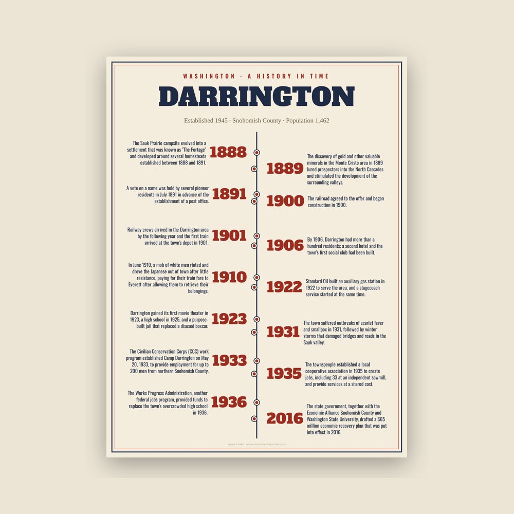
The discovery of gold and other valuable minerals in the Monte Cristo area in 1889 lured prospectors into the North Cascades and stimulated the development of the surrounding valleys. A 45-mile (72 km) wagon road along the Sauk River connecting Monte Cristo to Sauk Prairie and the settlement of Sauk City on the Skagit River was built in 1891, later forming part of the modern Mountain Loop Highway. It was only used for three years before being replaced by the Everett and Monte Cristo Railway to the south; until that time, the Sauk Prairie at the modern site of Darrington was an overnight camping spot for prospectors. Nearby areas were explored by prospectors who made over a hundred claims to tracts of land in the highlands around the valley, including Gold Hill.
Read the full history
Establishment and early development
The Sauk Prairie campsite evolved into a settlement that was known as "The Portage" and developed around several homesteads established between 1888 and 1891. A vote on a name was held by several pioneer residents in July 1891 in advance of the establishment of a post office. The vote was tied between two options, Portage (in some accounts, Norma) and Darrington, the maiden name of settler W. W. Cristopher's mother. According to some reports, the name was originally to be "Barrington" but was changed due to a mistake from the Postal Department or by the townspeople to resemble the word "dare". By the end of the decade, the town had gained a schoolhouse, a general store, a hotel, and a postmaster, Fred Olds, whose horse inspired the naming of Whitehorse Mountain.
Darrington's residents lobbied the Seattle and International Railway for the construction of a branch line from Arlington to the town as early as 1895, offering a 15-year contract to ship 75 percent of the area's extracted ores. The railroad agreed to the offer and began construction in 1900. It later merged with the Northern Pacific Railway, outpacing Great Northern and their plans to build a railroad to their timber holdings in the Sauk River valley. Railway crews arrived in the Darrington area by the following year and the first train arrived at the town's depot in 1901.
Several sawmills and other timber industries began in the years following the railroad's completion, as mining fortunes in the surrounding area dwindled. Most of the original prospectors had left the Darrington area during the Klondike gold rush of the late 1890s, while those who remained established a single smelter in the mountains. A Bornite mine was later developed at Long Mountain in hopes of reviving mining in the area, but was abandoned after its mineral deposits were found to be smaller than expected. By 1906, Darrington had more than a hundred residents; a second hotel and the town's first social club had been built. The U.S. Lumber Company, which began in 1901 as the Allen Mill, was the largest employer in Darrington during the early 1910s, producing 23,000 board feet (54.28 m3) of wood per day.
U.S. Lumber angered the townspeople by hiring 21 Japanese laborers at similar wages to their white counterparts. In June 1910, a mob of white men rioted and drove the Japanese out of town after little resistance, paying for their train fare to Everett after allowing them to retrieve their belongings. A report by Seattle-based vice-consul Kinjiro Hayashi was forwarded to the Japanese ambassador and state government. The company filed for an injunction after rioters had threatened to burn its Darrington mill and other properties should it attempt to return the Japanese laborers. The injunction was denied, but the townspeople relented and allowed 20 Japanese laborers to return to the mill a week later following Prince Fushimi Hiroyasu's visit to Seattle.
Early 20th century
Darrington's residents resisted the county government's dry plan to prohibit the sale of alcohol and close the town's saloons. They circulated a petition to incorporate Darrington as a fourth-class city in order to continue alcohol sales, but the attempt was thwarted after protests by U.S. Lumber and several civic leaders. On July 5, 1910, the town voted 46–35 in favor of remaining a "wet" settlement, but the countywide plebiscite the same day passed in favor of prohibition.
The town grew substantially in the early 1920s, with new sawmills attracting more residents and businesses. The wagon road along the North Fork Stillaguamish River (now part of State Route 530) was improved. A local improvement club established a fire department, a municipal water supply, and electrical service. Standard Oil built an auxiliary gas station in 1922 to serve the area, and a stagecoach service started at the same time. Darrington gained its first movie theater in 1923, a high school in 1925, and a purpose-built jail that replaced a disused boxcar.
Falling lumber prices during the Great Depression led several small sawmills in the Darrington area to suspend operations for a full year and laying off most of the town's workforce in late 1930. The town suffered outbreaks of scarlet fever and smallpox in 1931, followed by winter storms that damaged bridges and roads in the Sauk valley. The Civilian Conservation Corps (CCC) work program established Camp Darrington on May 20, 1933, to provide employment for up to 200 men from northern Snohomish County. The townspeople established a local cooperative association in 1935 to create jobs, including 33 at an independent sawmill, and provide services at a shared cost.
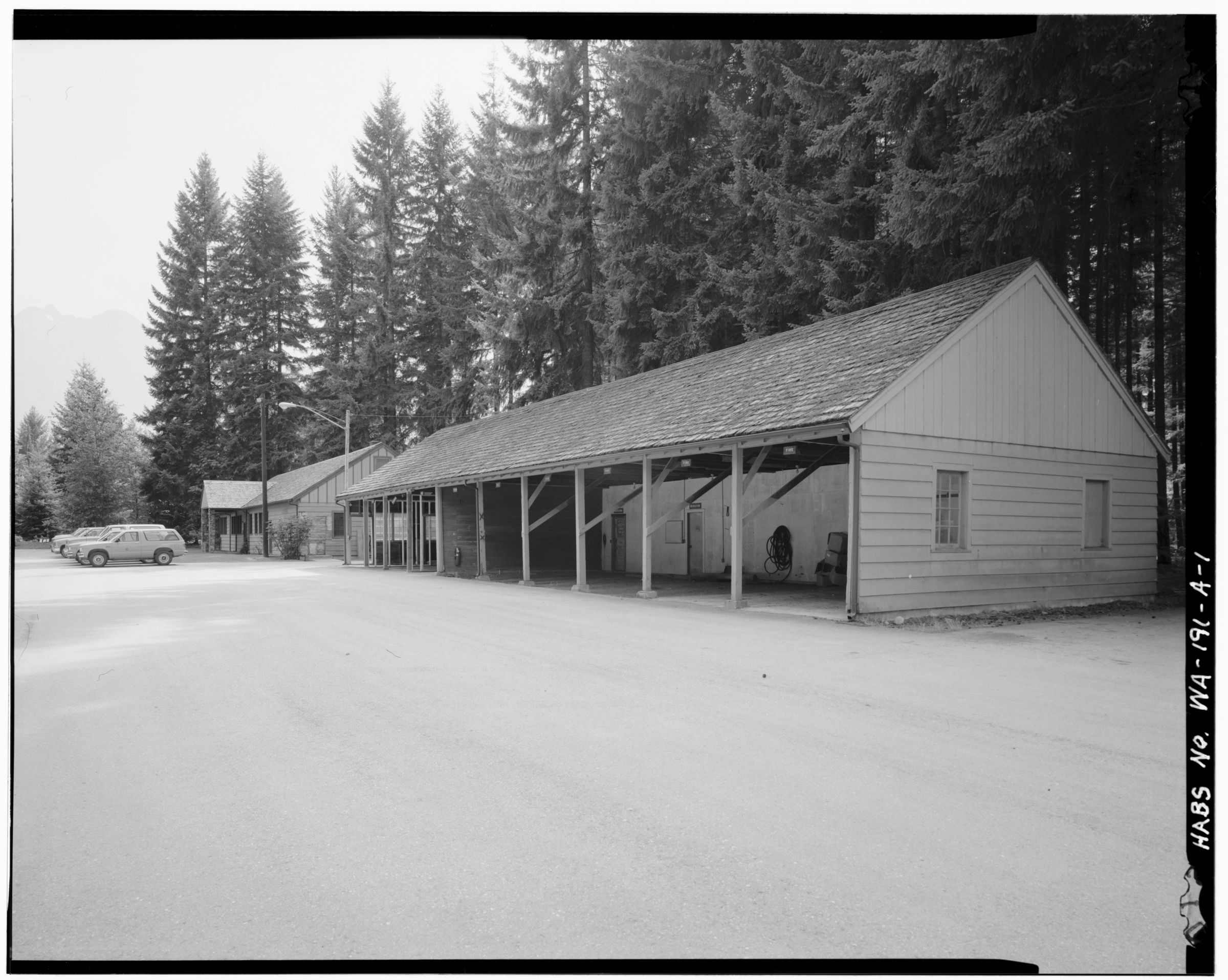
Camp Darrington was primarily used to fight wildfires and develop infrastructure in the Darrington district of the Mount Baker National Forest, including roads, trails, and a series of fire lookout towers atop nearby mountains. Among its projects was the Mountain Loop Highway, which provided connections between ranger stations in Darrington and Granite Falls and also opened up the Cascades backcountry to logging and recreation. The camp employed the first wave of Appalachian emigrants from North Carolina, who would eventually form a majority of the town's population. Camp Darrington workers also assisted in the creation of two winter sports areas that were equipped with ski runs, toboggan trails, and a ski jump. The Works Progress Administration, another federal jobs program, provided funds to replace the town's overcrowded high school in 1936.
Incorporation and decline of lumber
Darrington reached a population of 600 residents in 1945 and was officially incorporated as a fourth-class town on October 15, 1945, following a 96–60 vote in favor. The townspeople celebrated by establishing an annual summer festival, the Timberbowl, which ran until 1967 and was initially used to raise funds for a fire engine and other equipment. A two-story town hall was built in 1947, housing the town council chambers, offices for town officials, the police department, the fire department, and a public library. In 1952, the town built a dedicated community center to serve as a venue for various social functions and a general gymnasium with seating for 1,200 people. A new high school and municipal airport opened in 1958 at opposite ends of the town.
Railroad companies with large timber holdings in the area began to leave in the 1960s, leading to the rise of independent "gyppo" loggers who salvaged discarded timber while under contract to regional paper mills. A large open-pit mine on Miners Ridge planned by Kennecott in the late 1960s was halted after intervention from environmental activists and local politicians. Northern Pacific ended passenger rail service to the Darrington area in the 1960s, and the passenger depot was demolished in 1967. The railroad was eventually abandoned in 1990 and its right-of-way was acquired by the county for conversion into a rail trail.
The gyppo operations gave way to a small local timber company, Summit Timber, which acquired the largest sawmill in Darrington, now the Hampton mill. Several smaller mills in Darrington and surrounding communities, including four for cedar shakes, closed during the 1960s, leading to further population decline. The area's timber industry was also adversely affected by tighter logging restrictions on federal lands during the 1980s and 1990s meant to protect the mountain habitats of threatened and endangered species, including the northern spotted owl. In response, Summit transitioned to processing private forests and lands managed by the Washington State Department of Natural Resources, maintaining its position as the town's largest employer. The loss of timber-industry jobs led to local protests, part of the "timber wars" that erupted across logging communities in the Pacific Northwest during the 1990s.
Tourism economy and modern Darrington
The town government sought to diversify Darrington's economy and focus on tourism as an alternate industry, creating new festivals and promoting its existing bluegrass festival and rodeo. It adopted strong land use controls to preserve its rural character in the 1970s, which prevented new development until 2002. Darrington subsequently developed into a bedroom community for commuters working in Everett and Marysville. Opposition from residents forced the town government to drop plans for a 400-bed minimum-security prison work camp in 1990.
The town government unsuccessfully campaigned for a NASCAR racetrack and regional swimming center in the early 2000s, aiming to become an all-year destination for the county. Several major floods in the late 1990s and early 2000s damaged properties along the rivers; in 2003, a flood washed out part of the Mountain Loop Highway. The highway was not restored until 2008, costing Darrington approximately $750,000 in tourist revenue and forcing several businesses to close. Darrington's main lumber mill laid off 67 workers in 2011, citing the effects of the Great Recession and declining demand. The town government, running on a small budget of $1.6 million, accepted several grants from the state to upgrade its water system and repair streets during the recession.
On March 22, 2014, a major mudslide on a hillside near Oso, 12 miles (19 km) west of Darrington, destroyed dozens of homes and a section of State Route 530, cutting off direct road access between Arlington and Darrington for two months. It killed 43 people, becoming the deadliest landslide in U.S. history and the deadliest natural disaster in state history since the 1980 eruption of Mount St. Helens. Darrington was one of the main staging areas for disaster response workers and supplies; the community center was used as an emergency shelter for victims and the rodeo grounds became an animal shelter and housing for workers.
State Route 530 was partially reopened by early June and a permanent replacement was opened in September. The increased costs to local businesses resulting from the long detour via State Route 20 were mitigated with low-interest loans from the Small Business Administration and recovery funds, including $9.5 million in private donations. The tourism industry in Darrington also received a state-funded advertising campaign, keeping revenue and visitation for local events at pre-slide levels. The state government, together with the Economic Alliance Snohomish County and Washington State University, drafted a $65 million economic recovery plan that was put into effect in 2016.

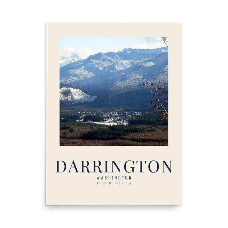










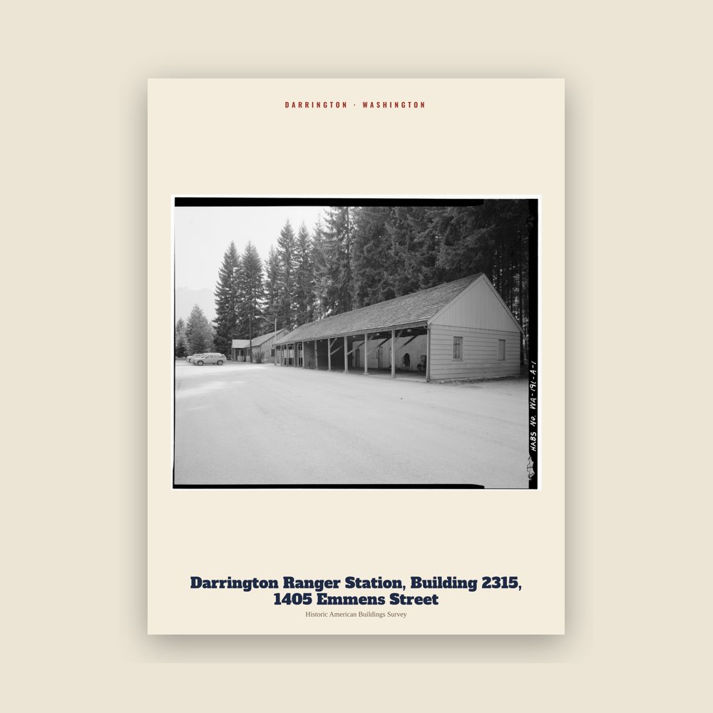
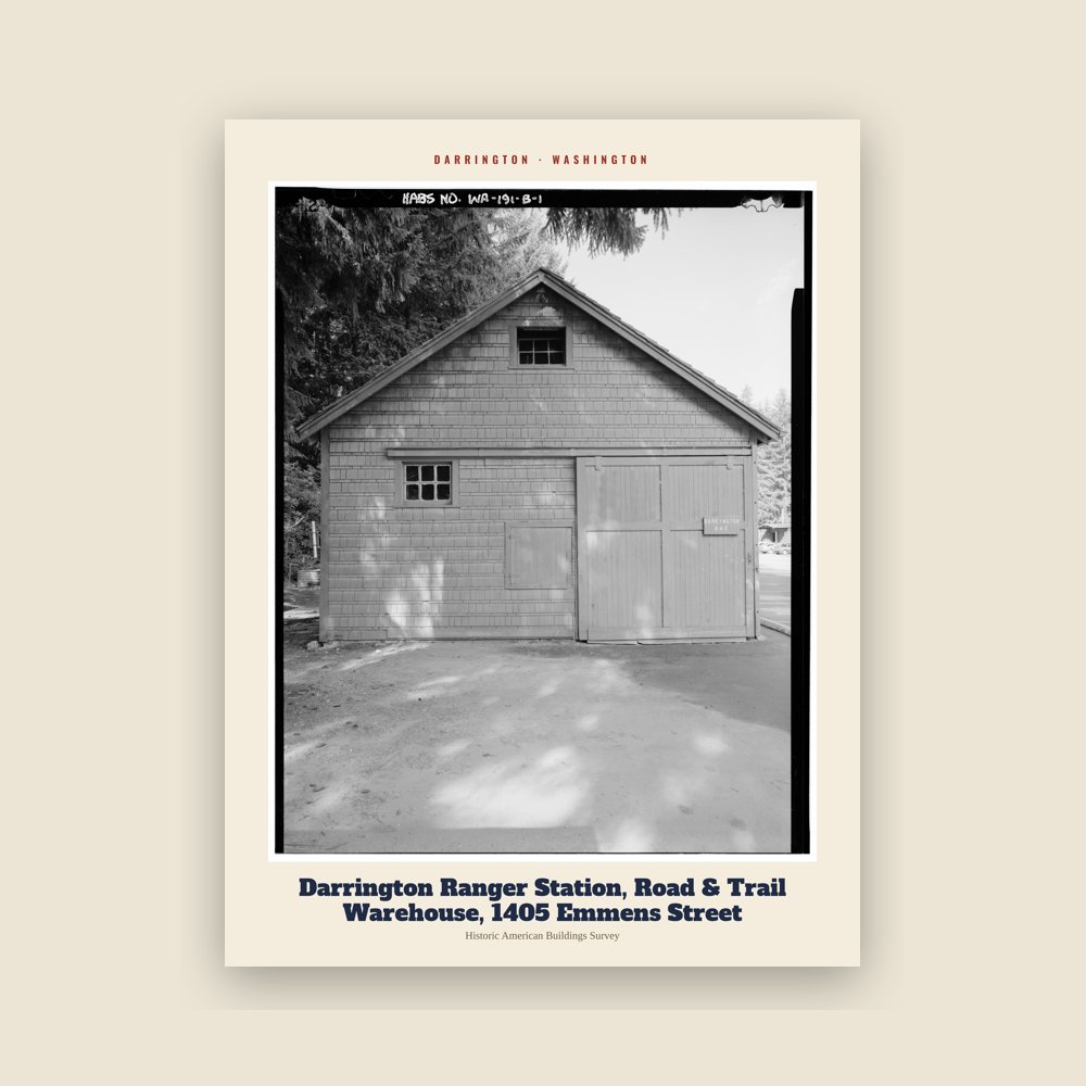
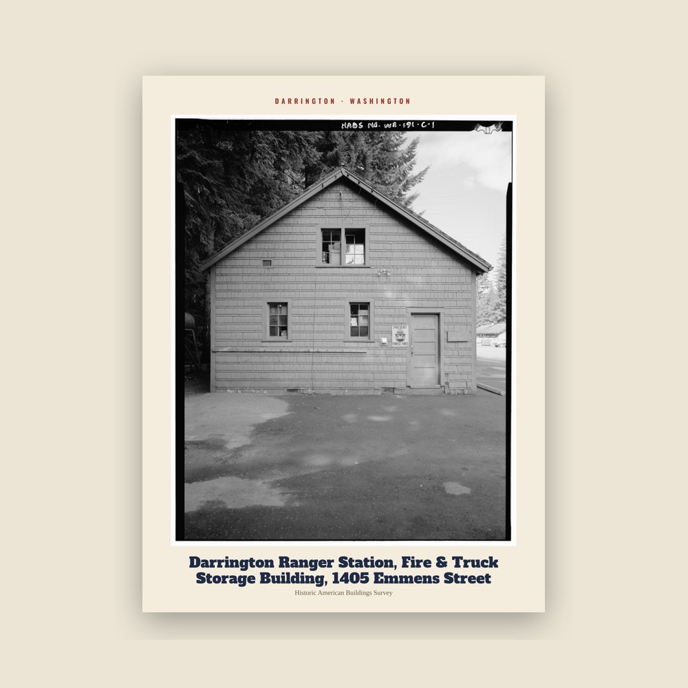
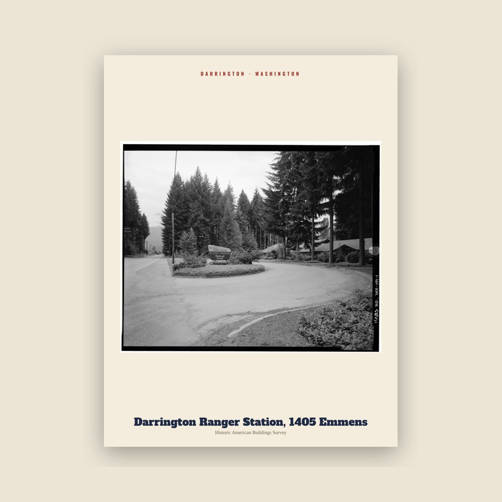
 A view of Darrington
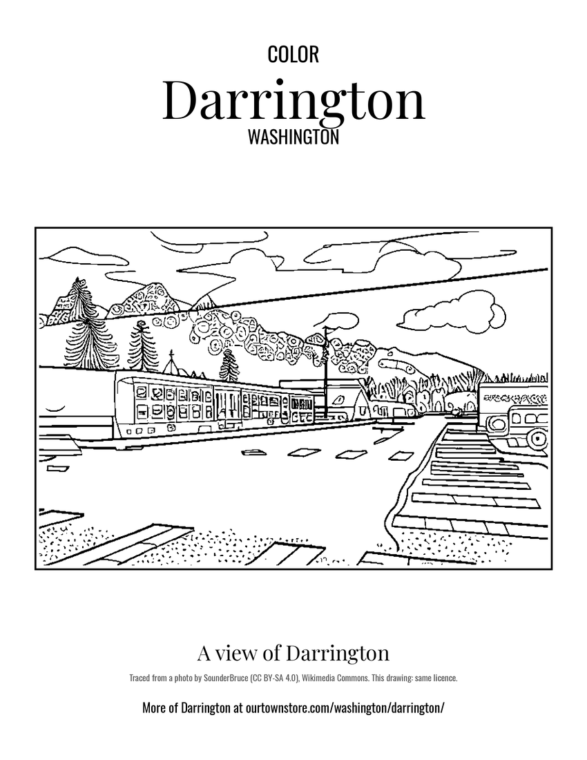 A view of Darrington
 A view of Darrington