A short history of Arlington
Pre-incorporation
The indigenous Coast Salish peoples have inhabited the Puget Sound region since the retreat of the Vashon Glacier approximately 12,000 years ago. Several archeological sites along the Stillaguamish River contain artifacts that are dated to the Olcott Phase, approximately 9,000 years before present. The traditional territory of the Stillaguamish people includes modern-day Arlington and much of the Stillaguamish River basin; they had at least ten known villages along the river and its tributaries, including two in the Arlington area. Among them was sq̓ʷuʔalqʷuʔ (meaning "confluence"; variously anglicized as Skabalko or Skabalco), a settlement with winter longhouses and 200–300 people at the confluence of the two forks of the Stillaguamish River. Other Coast Salish peoples who were intermarried with the Stillaguamish would travel to this village in the summer to follow fish runs. The neighborhood of Kent Prairie (Lushootseed: xʷbaqʷab) was once a prairie where the Stillaguamish, Sauk, and Snohomish would gather wild crops. In modern Lushootseed, Arlington and the surrounding area is named stiqayuʔ, meaning "wolf".
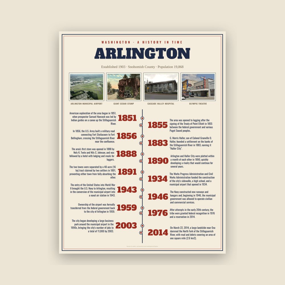
American exploration of the area began in 1851, when prospector Samuel Hancock was led by Indian guides on a canoe up the Stillaguamish River. The area was opened to logging after the signing of the Treaty of Point Elliott in 1855 between the federal government and various Puget Sound peoples. The Stillaguamish, one of the signatory tribes, were ordered to travel to the Tulalip Indian Reservation, but many members refused and remained in their ancestral lands. After attempts in the early 20th century, the tribe were granted federal recognition in 1976 and a reservation in 2014.
In 1856, the U.S. Army built a military road connecting Fort Steilacoom to Fort Bellingham, crossing the Stillaguamish River near the confluence. In the 1880s, wagon roads were constructed to this area from the towns of Marysville to the south and Silvana to the west, bringing entrepreneurs to the logging camps, informally named "The Forks". The area's first store was opened in 1888 by Nels K. Tvete and Nils C. Johnson, and was followed by a hotel with lodging and meals for loggers.
Two settlements were established on the south side of the confluence in anticipation of the Seattle, Lake Shore and Eastern Railway building a track through the area. G. Morris Haller, son of Colonel Granville O. Haller, founded a settlement on the banks of the Stillaguamish River in 1883, naming it "Haller City".
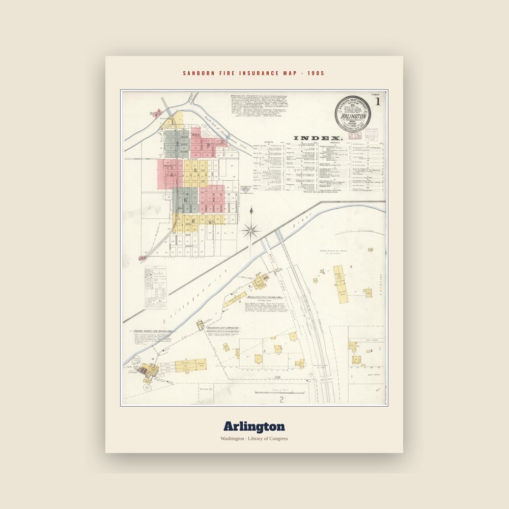
The Seattle, Lake Shore & Eastern Railroad chose to build its depot on higher ground to the south of Haller City, leading contractors Earl & McLeod to establish a new town at the depot on March 15, 1890. The new town was named "Arlington" after Lord Henry Arlington, member of the cabinet of King Charles II of England. Arlington and Haller City were platted within a month of each other in 1890, quickly developing a rivalry that would continue for several years.
Arlington and Haller City grew rapidly in their first years, reaching a combined population of 500 by 1893, relying on agriculture, dairy farming and the manufacturing of wood shingles as their main sources of income. Both towns established their own schools, post offices, saloons, general stores, churches, social clubs, and hotels. The two towns were separated by a 40-acre (16 ha) tract claimed by two settlers in 1891, preventing either town from fully absorbing the other. During the late 1890s, the claim dispute was settled and merchants began moving to the larger, more prosperous Arlington, signalling the end for Haller City. Today, Haller City is memorialized in the name of a park in downtown Arlington, as well as a middle school operated by the Arlington School District.
Read the full history
Incorporation and early 20th century
Arlington was incorporated as a fourth-class city on May 20, 1903, including the remnants of Haller City (located north of modern-day Division Street). The incorporation came after a referendum on May 5, in which 134 of 173 voters approved the city's incorporation. The new city elected shingle mill owner John M. Smith as its first mayor. In the years following incorporation, Arlington gained a local bank, a cooperative creamery, a city park, a library, electricity, and telephone service.
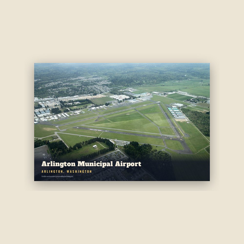
During the early 20th century, Arlington's largest employers remained its shingle mills and saw mills. Other industries, including dairy processing, mechanical shops, stores, and factories, became prominent after World War I, during a period of growth for the city. The Great Depression of the 1930s forced all but one of the mills to close, causing unemployment to rise in Arlington and neighboring cities. The federal government established a Civilian Conservation Corps (CCC) camp near Darrington to create temporary jobs; the young men built structures and conducted firefighting in the Mount Baker National Forest. The Works Progress Administration and Civil Works Administration funded the construction of the city's sidewalks, a high school, and a municipal airport that opened in 1934.
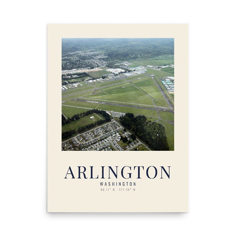
The entry of the United States into World War II brought the U.S. Navy to Arlington, resulting in the conversion of the municipal airport into a naval air station in 1943. The Navy constructed new runways and hangars and, beginning in 1946, the municipal government was allowed to operate civilian and commercial services. Ownership of the airport was formally transferred from the federal government back to the city of Arlington in 1959.
On October 19, 1959, a Boeing 707-227 crashed on the banks of the Stillaguamish River's North Fork during a test flight, killing four of eight occupants. The plane, being flown by Boeing test pilots instructing personnel from Braniff International Airways, lost three engines and suffered a fire in the fourth after a dutch roll had been executed beyond maximum bank restrictions. The plane made an emergency landing in the riverbed while unsuccessfully trying to reach a nearby open field.
Suburbanization and present day
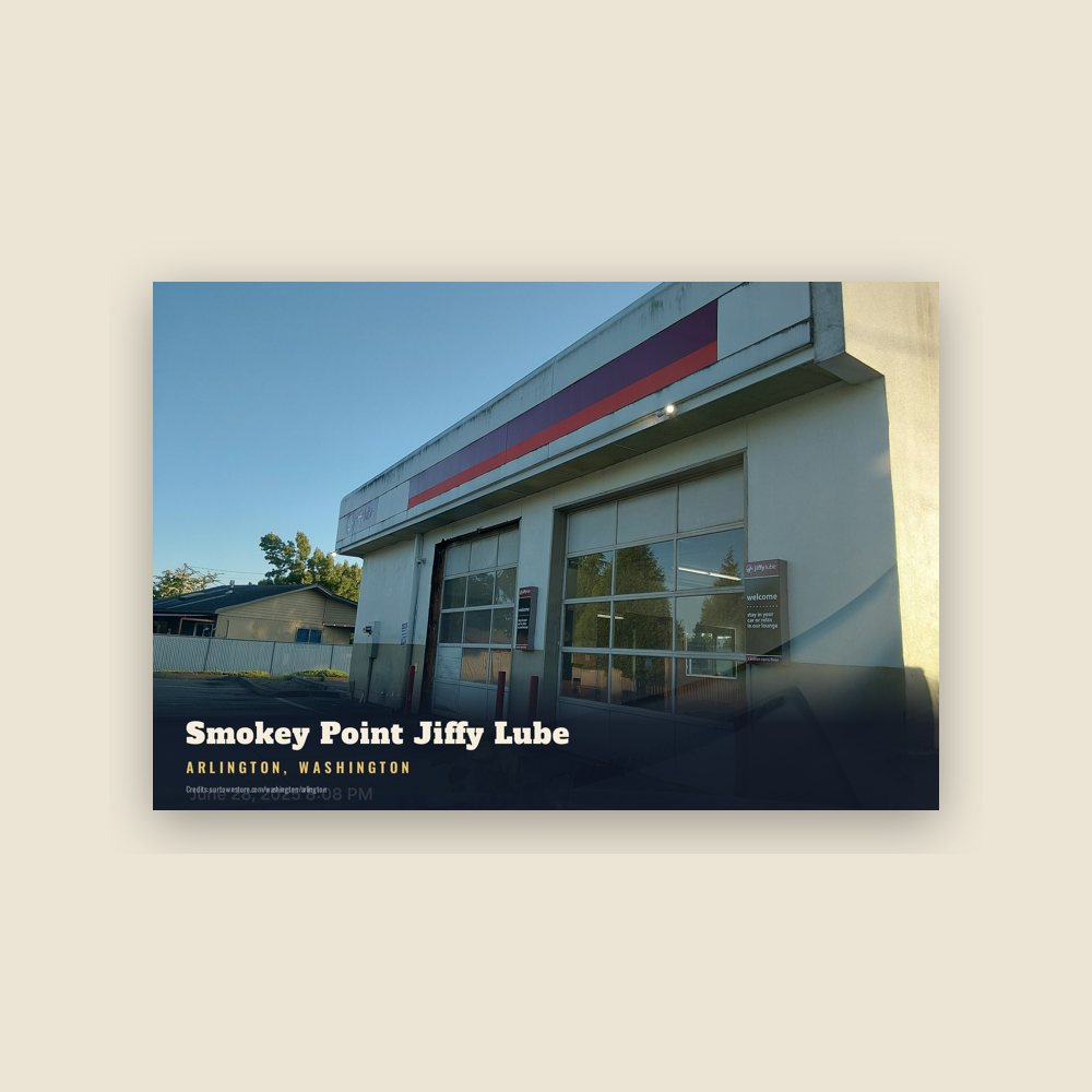
The completion of Interstate 5 and State Route 9 in the late 1960s brought increased residential development in Arlington, forming a bedroom community for commuters who worked in Everett and Seattle. Despite the influx of commuting residents, Arlington retained its small-town image while unsuccessfully attempting to lure new industries and a state college. Suburban housing developments began construction in the 1980s and 1990s, driving a 450 percent increase in Arlington's population to 15,000 by 2007. In 1999, Arlington annexed the community of Smokey Point, located along Interstate 5 to the southwest of the city, after a lengthy court battle with Marysville, which instead was permitted to annex Lakewood to the west. The city began developing a large business park around the municipal airport in the 1990s, bringing the city's number of jobs to a total of 11,000 by 2003.
The city of Arlington celebrated its centennial in 2003 with a parade, a festival honoring the city's history, sporting events, and musical and theatrical performances. The centennial celebrations culminated in the dedication of the $44 million Arlington High School campus, attended by an all-class reunion of the old school. In 2007, the city of Arlington renovated six blocks of downtown's Olympic Avenue at a cost of $4.4 million, widening sidewalks, improving street foliage, and adding new street lights. The project was credited with helping revitalize the city's downtown, turning Olympic Avenue into a gathering place for residents and a venue for festivals.
On March 22, 2014, a large landslide near Oso dammed the North Fork of the Stillaguamish River, with mud and debris covering an area of one square mile (2.6 km2). A total of 43 people were killed and nearly 50 structures destroyed. The landslide closed State Route 530 to Darrington, cutting the town off, leaving Arlington as the center of the coordinated emergency response to the disaster. Arlington was recognized for its role in aiding victims of the disaster and hosted U.S. President Barack Obama during his visit to the site in April.
The city has continued to grow in the late 2010s, with new apartment buildings constructed in Smokey Point, including those designed as retirement communities. The Cascade Industrial Center, located on 4,000 acres (1,600 ha) between Arlington and Marysville, was designated by the Puget Sound Regional Council in 2019 and is planned to house manufacturing and other industrial uses.
Adapted (trimmed) from the Wikipedia article Arlington, Washington, revision 1380608057 by its contributors, licensed CC BY-SA 4.0.
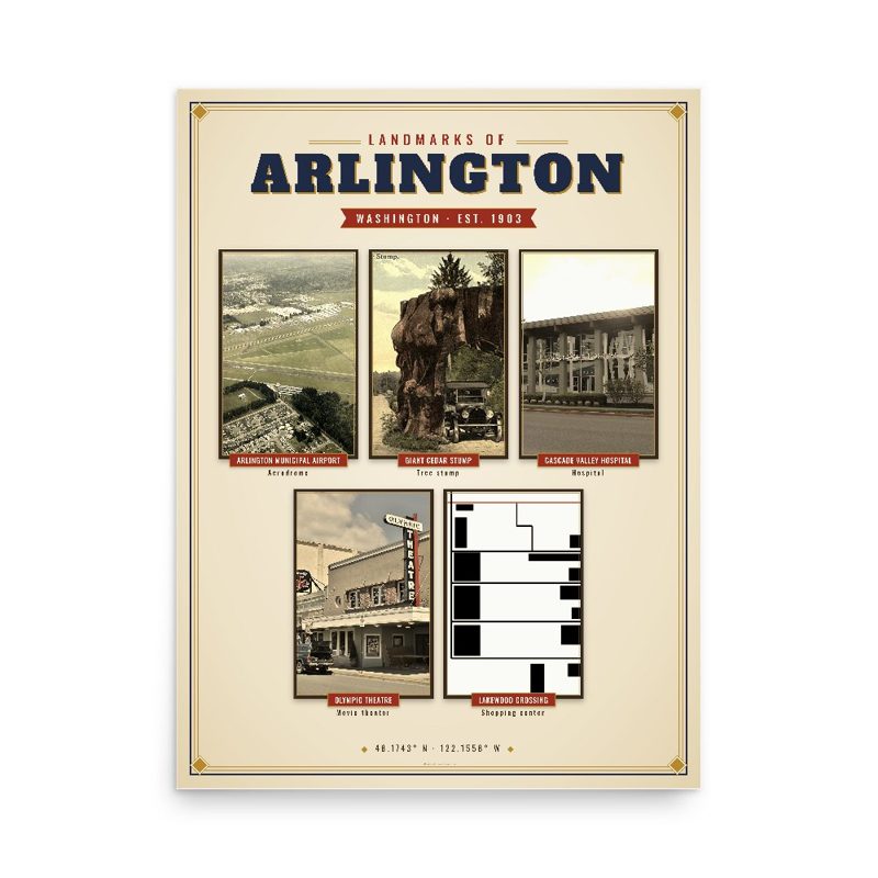

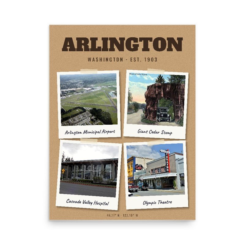
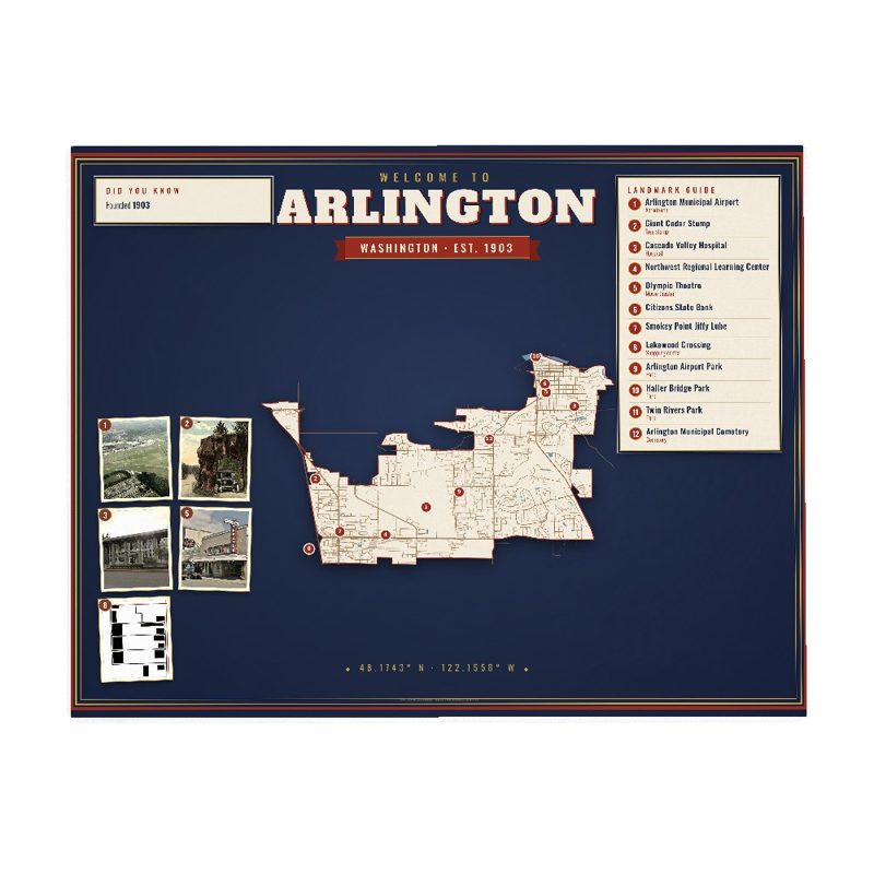




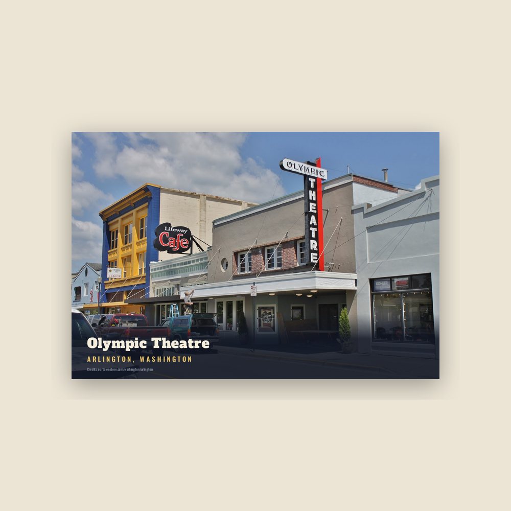
 Olympic Theatre
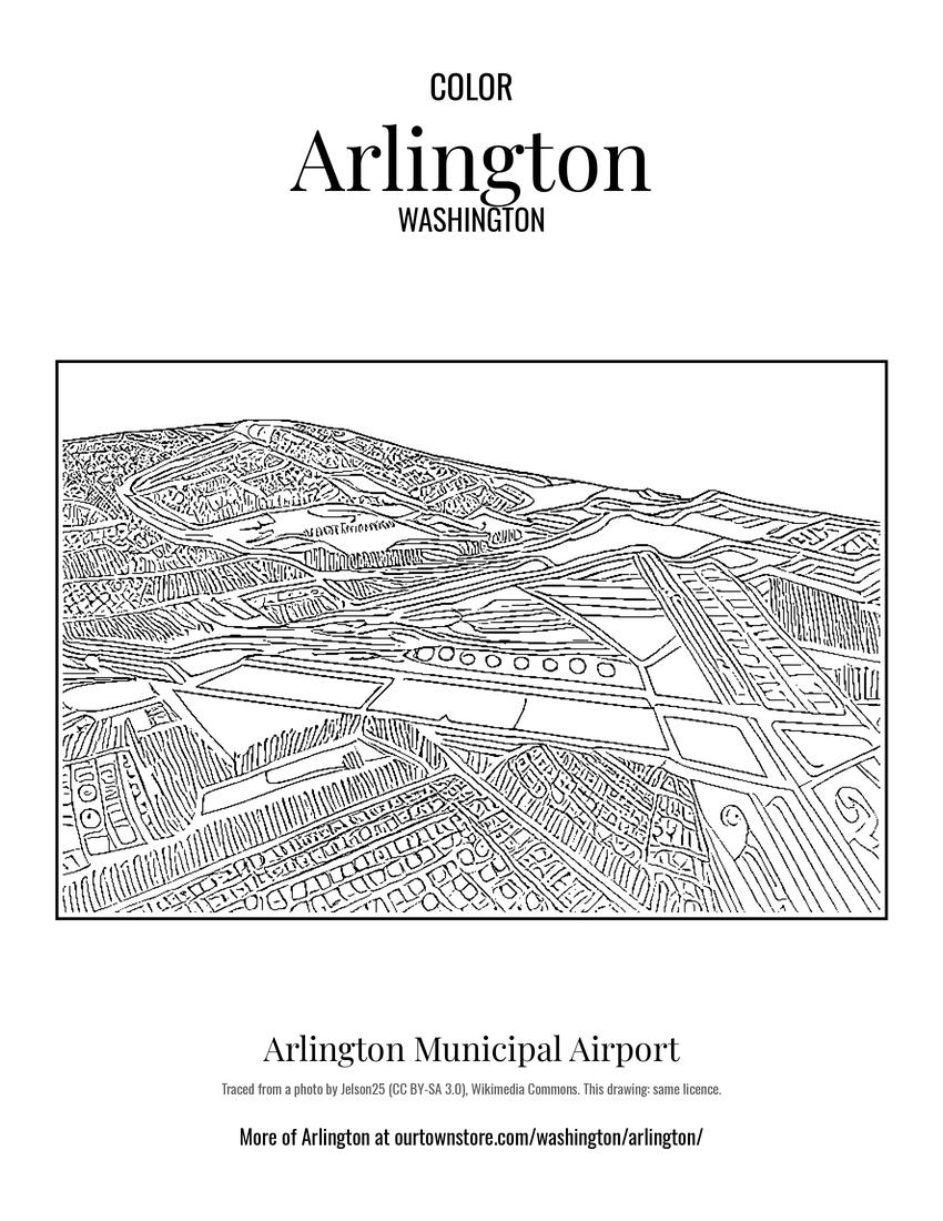 Arlington Municipal Airport
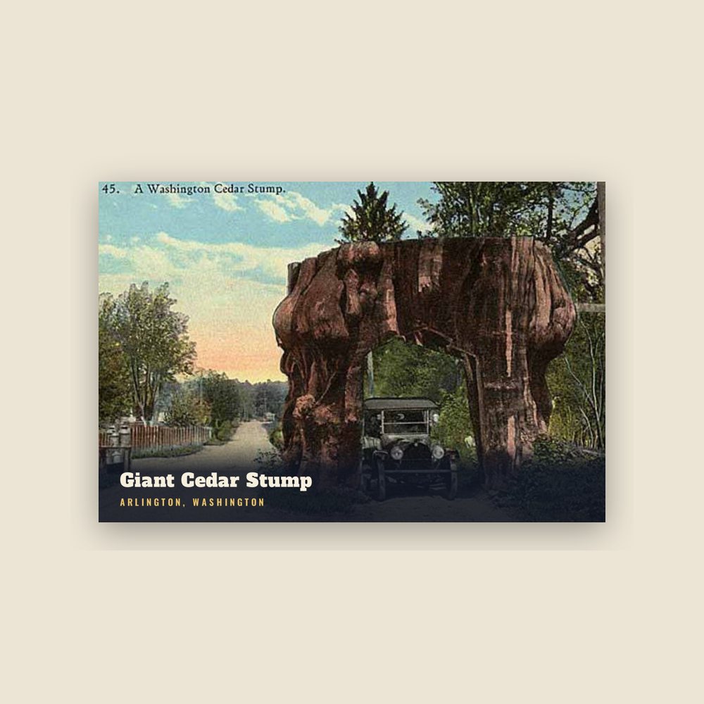
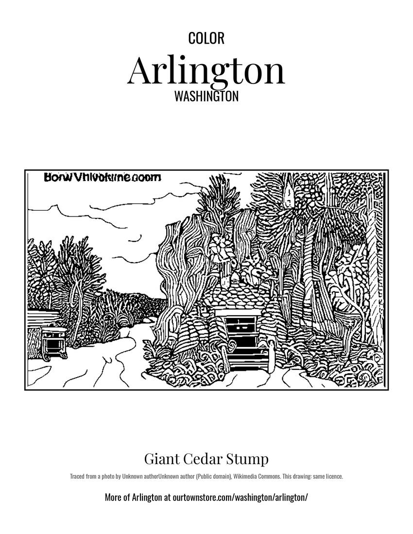 Giant Cedar Stump
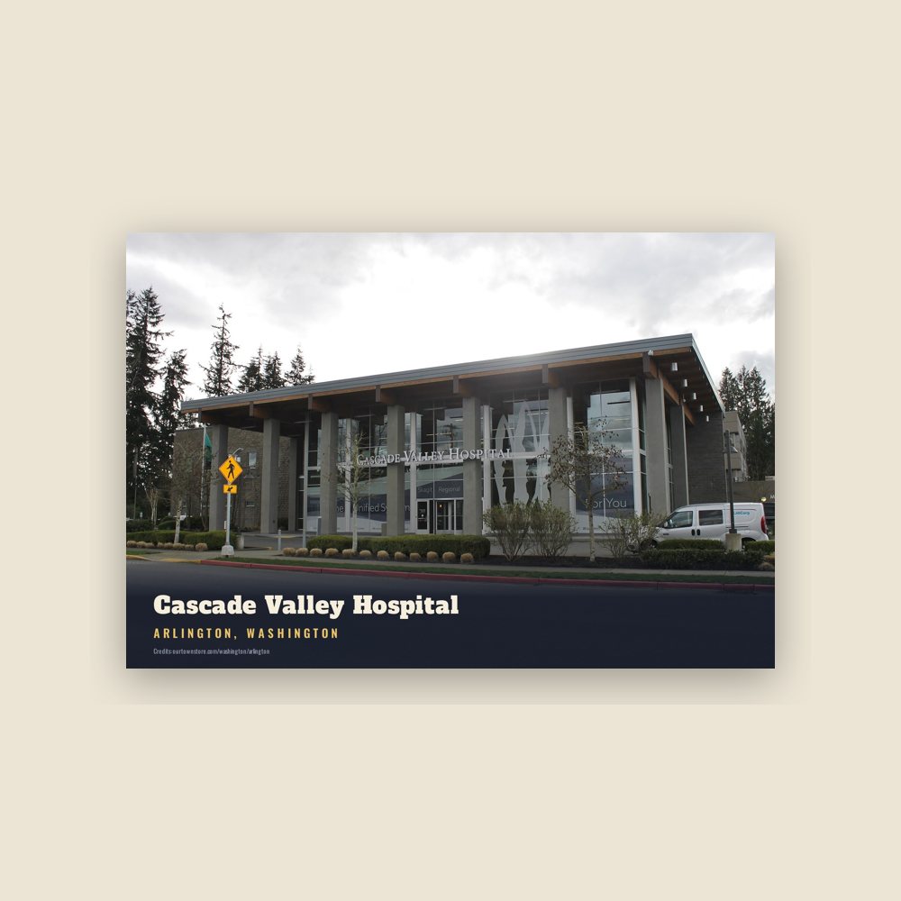
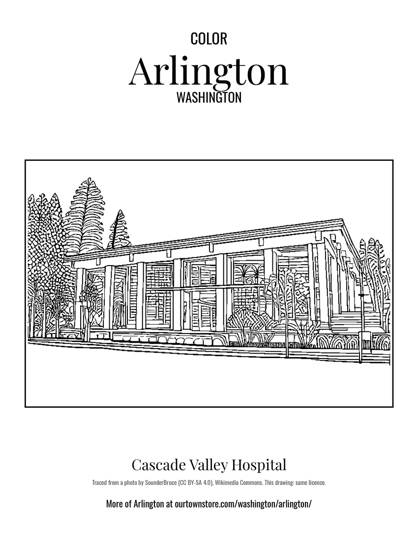 Cascade Valley Hospital