Read the full history
Early European settlement
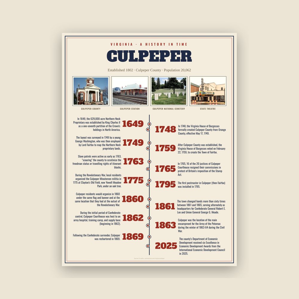
In 1649, the 629,000-acre Northern Neck Proprietary was established by King Charles II as a one-seventh partition of the Crown's holdings in North America. The original recipient of this territory was John Colepeper, 1st Baron Colepeper of Thoresway. Upon his passing, control of the territory was transferred to his son, Thomas Colepeper, the 2nd Baron; in 1688 he received a new patent from King James verifying his claim to the territory, but died the following year. 5/6th of his share of the colony was inherited by his daughter, Catherine Culpeper, and her husband Thomas Fairfax, 5th Lord Fairfax of Cameron. Upon his death in 1710, control of the territory passed on to his son Thomas, the 6th Lord. The death of his grandmother in May of that year left him the remaining sixth share. Given that he was only 16 at the time, administrative authority fell to his mother, who would maintain it until her death in 1719, when the whole of the proprietary was passed on to Thomas.
By the early 18th century, settlers from the Tidewater and Northern Neck regions began pushing westward into the Piedmont. German, English, and Scots-Irish colonists established farms along the Rapidan and Crooked Run valleys between 1714 and 1720 as part of the Germanna Colony settlement founded by Governor Alexander Spotswood. At the time of its founding, it was colonial Virginia's westernmost settlement. These settlers built homesteads, mills, and trading routes that later became part of Culpeper County. The region’s fertile soil supported wheat, corn, and tobacco cultivation, while trade developed along wagon roads connecting Fredericksburg to the Shenandoah Valley.
Founding and colonial period
In 1748, the Virginia House of Burgesses formally created Culpeper County from Orange County, effective May 17, 1749. It originally included what are now Madison and Rappahannock counties (split off in 1792 and 1831 respectively). Former Governor Thomas Colepeper is often cited as the namesake for the county, but the county may also have been named to honor Catherine Culpeper and the landowning Culpeper family.
After Culpeper County was established, the Virginia House of Burgesses voted on February 22, 1759, to create the Town of Fairfax. The name honored Thomas Fairfax, the 6th Lord.
The original plan for the town included ten square blocks forming the present downtown grid. The layout was surveyed in 1749 by a young George Washington, who was then employed by Lord Fairfax to map the Northern Neck proprietary lands.
During the colonial period, Culpeper became a small market town centered around tobacco warehouses, taverns, and blacksmith shops. Roads linking Fredericksburg to the Shenandoah Valley increased its commercial importance. Slave patrols were active as early as 1763, "scouring" the county to scrutinize the freedman status or travelling rights of itinerant blacks.
In 1765, 16 of the 20 justices of Culpeper Courthouse resigned their commissions in protest of Britain's imposition of the Stamp Act. During the Revolutionary War, local residents organized the Culpeper Minutemen militia in 1775 at Clayton’s Old Field, now Yowell Meadow Park, under an oak tree. Their green hunting shirts, emblazoned with “Liberty or Death” and a coiled rattlesnake, was used as a symbol of Virginia’s independence movement. The unit fought at the Battle of Great Bridge and later joined the 3rd Virginia Regiment.
American independence and the Antebellum Period
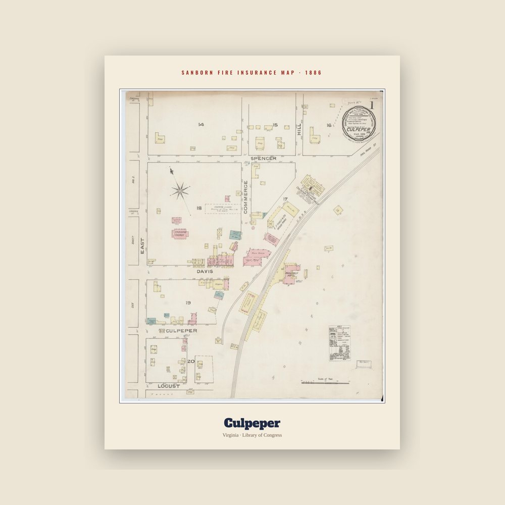
The first postmaster in Culpeper (then Fairfax) was installed in 1795. Mail was regularly erroneously sent to Fairfax County on account of their shared name. The first state-chartered educational institution was established in the county in 1802, its first newspaper, The Culpeper Gazette, was founded in 1827. Culpeper’s central location in the Piedmont made it a crossroad for commerce and transportation in the early 1800s. Taverns, blacksmith shops, and wagon yards surrounded the courthouse square, and by the 1850s the arrival of the Orange and Alexandria Railroad connected the town with Alexandria and Gordonsville.
In the leadup to the secession of the Confederacy, Culpeper County would endorse John Bell of the Constitutional Union Party over John C. Breckinridge of the Southern Democrats by a single vote, but would ultimately endorse secession at the Virginia Convention in 1861. Culpeper residents would organize in 1860 under the same flag and banner and at the same location that they had at the outset of the Revolutionary War. More than half the county's population was African-American at that time.
During the American Civil War, Culpeper and the surrounding county became strategically important for both Union and Confederate forces. The narrowing of the Rappahannock River along Culpeper County's northern border made the county one of the most ideal locations for an invasion of Virginia by Union forces. During the initial period of Confederate control, Culpeper Courthouse was host to an army hospital, training camp, and supply base (beginning in 1862). The town changed hands more than sixty times between 1861 and 1865, serving alternately as headquarters for Confederate General Robert E. Lee and Union General George G. Meade.
The nearby Battle of Brandy Station on June 9, 1863, remains the largest cavalry engagement of the war, while the Battle of Cedar Mountain (August 1862) and the Battle of Kelly's Ford (March 1863) further established Culpeper’s wartime importance. After Brandy Station, Culpeper served as the launching point for Lee's forces into the Gettysburg Campaign. Later that year, the Confederates were pushed out of the county by the Army of the Potomac in two successive stages. The first occurred in September, when Union forces under Brig. Generals Kilpatrick and Custer captured Culpeper's train depot and pushed the forces of Maj. Gen. J.E.B. Stuart south of the Rapidan River in the Battle of Culpeper Courthouse. Thereafter, Lee's forces engaged in a flanking maneuver against Gen. Meade along the mountainous western edge of the county, leading to a Union retreat towards Centreville; Union forces would rout the offensive, leading Lee to slowly withdraw south towards the Rappahannock. On the night of November 7, Union forces carried out a shock offensive against Lee's fortified positions on the north bank of the river, overwhelming Confederate forces, forcing them to once again retreat south of the Rapidan, and leading to the recapture of Culpeper Count by the Union. Their winter occupation of Culpeper, immediately followed by the Overland Campaign, is considered to have been the largest occupation by either side over the course of the entire war.
President Abraham Lincoln visited Culpeper twice during the war, inspecting Union camps in 1862 and again in 1864. Confederate scout networks operated in the area, including the Brandy Station Signal Corps, which gathered intelligence for Lee’s army.
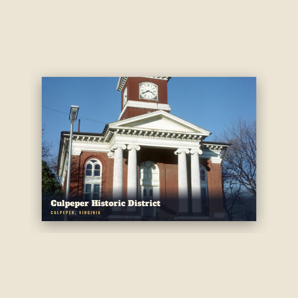
The courthouse and much of the town suffered extensive damage during repeated occupations. Following the Confederate surrender, Culpeper was rechartered in 1869. The Reconstruction era saw the rise of new civic and religious institutions established by formerly enslaved residents, including churches, the Culpeper Colored School (1903), and St. Stephen’s Industrial School for vocational training.
Post-Civil War and twentieth century modernization
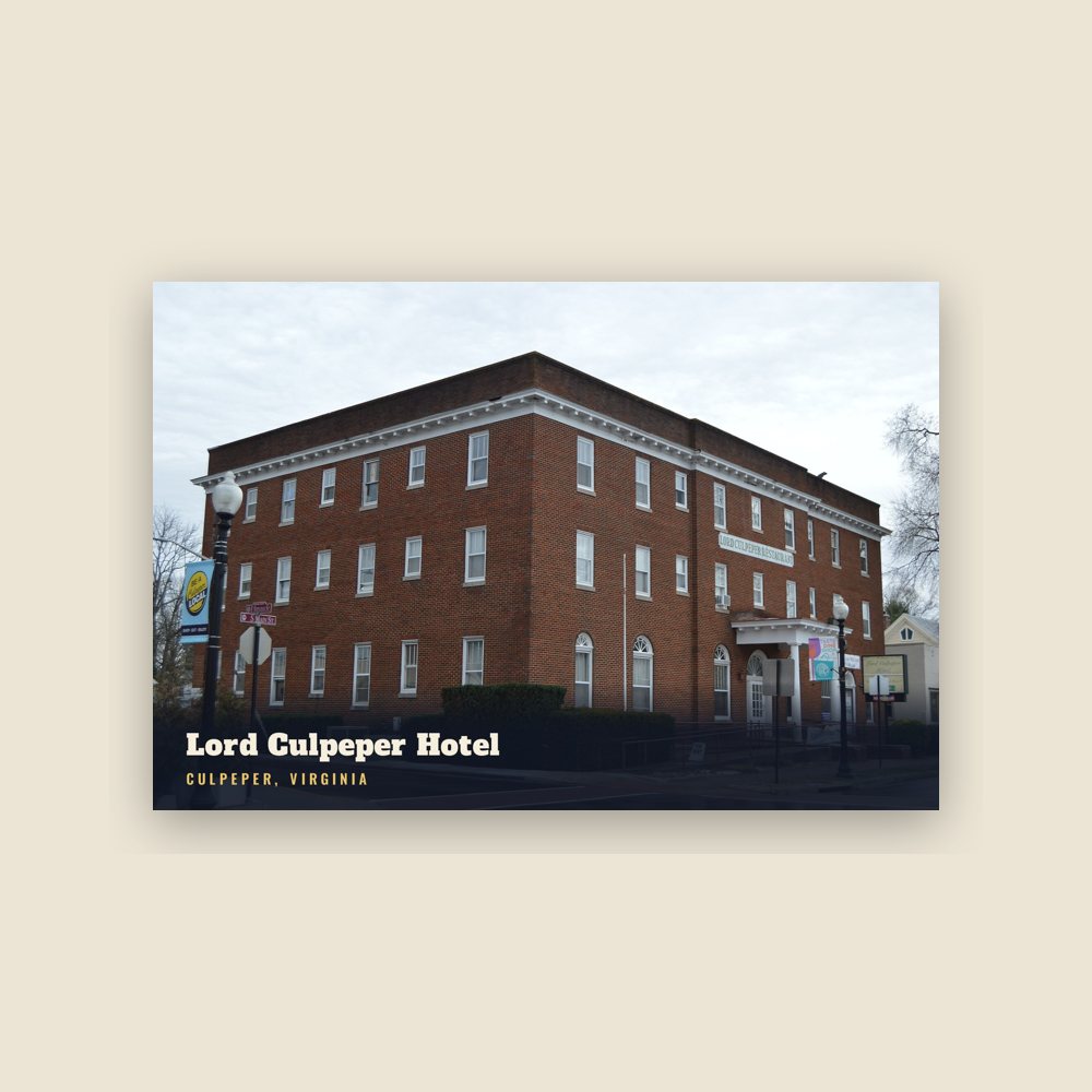
In 1870, a fire destroyed the courthouse and several surrounding structures, prompting a wave of rebuilding that shaped the modern downtown’s brick architecture. By the early 1900s, Culpeper featured hotels, banks, a trolley line, and telegraph offices. The agricultural economy remained dominant through the Great Depression, but the town also supported canneries, lumber operations, and small textile mills.
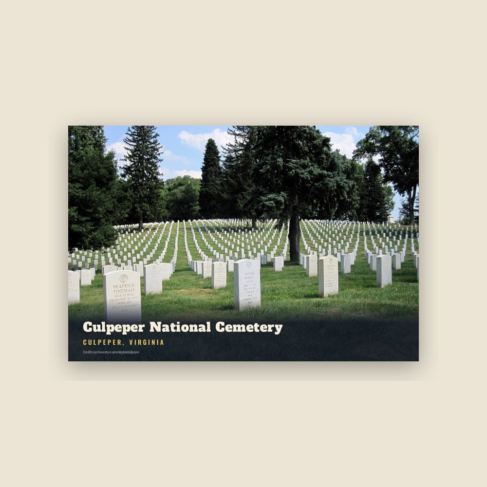
During the 1930s, New Deal programs such as the WPA constructed sidewalks, bridges, and schools still in use today. World War II brought further change, with the nearby Culpeper National Cemetery expanded and military training grounds created in surrounding counties. After the war, population growth and automobile travel shifted commerce toward the U.S. Route 29 and U.S. Route 15 corridors.
During the mid-20th century, Culpeper modernized municipal services, built new schools, and participated in regional planning initiatives. In the 1950s, local residents took part in early desegregation efforts at Culpeper High School, covered by the *Charlottesville-Albemarle Tribune* and *Free Lance Star* newspapers. The 1970s saw downtown revitalization and historic preservation programs led by the Choral Society and American Legion, preserving many 19th-century structures.
Cold War and recent history
During the Cold War, the U.S. Federal Reserve built an underground bunker southeast of town in 1969 as a continuity-of-government site. In 1997, the Library of Congress converted the facility into the National Audiovisual Conservation Center, known as the Packard Campus.
On August 23, 2011, Culpeper was impacted by the 2011 Virginia earthquake, which damaged several historic buildings along Main and East Davis streets. The Museum of Culpeper History relocated in 2014 to the town’s historic depot building, expanding exhibits on local archaeology and wartime heritage.
The early 21st century brought a combination of growth and preservation. The American Planning Association recognized East Davis Street in 2011 as one of "America’s Great Places" for its preserved architecture and active local economy.
In 2024, the state opened Culpeper Battlefields State Park, protecting portions of the Brandy Station and Cedar Mountain battlefields for public use.
Economic diversification has continued with technology and tourism sectors growing in importance. The county’s Department of Economic Development received six Excellence in Economic Development Awards from the International Economic Development Council in 2025. Preservation groups have also continued advocating for balance between new development, including proposed data centers and solar installations, and the protection of historic landscapes.
Notable events
Culpeper was the location of the main encampment for the Army of the Potomac during the winter of 1863-64 during the Civil War. It was from Culpeper that General Ulysses S. Grant began the Overland Campaign against General Robert E. Lee's Army of Northern Virginia.
During the presidential election campaign of 1960, vice presidential nominee Lyndon B. Johnson began his whistle-stop campaign of the South by giving a speech at Culpeper. As the train was pulling away from the station, Johnson yelled out a phrase that would become a battle cry of the campaign: "What did Dick Nixon ever do for Culpeper?!"
In 1967, it was the site of a one-day standoff between members of the American Nazi Party and police and military personnel over the group's attempt to bury their leader George Lincoln Rockwell in the local National Cemetery.
In 1995, former Superman star Christopher Reeve lost his balance during a horse competition and fell, resulting in severe spinal injury and permanent quadriplegic paralysis.
On June 14, 2025, during a No Kings protest in Culpeper, a motorist drove into a crowd of demonstrators. According to police reports, at least one person was struck by the vehicle; however, no serious injuries were confirmed at the time, and the individual was not immediately located. The incident led to the arrest of the driver and drew local attention to tensions surrounding the protest movement.

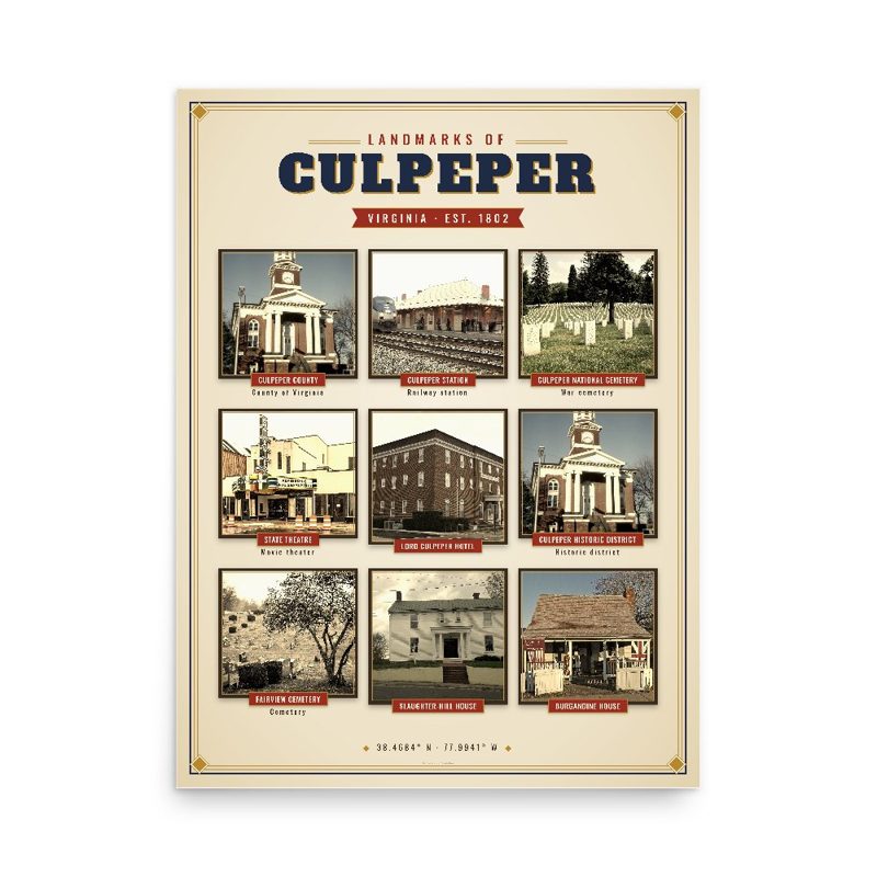
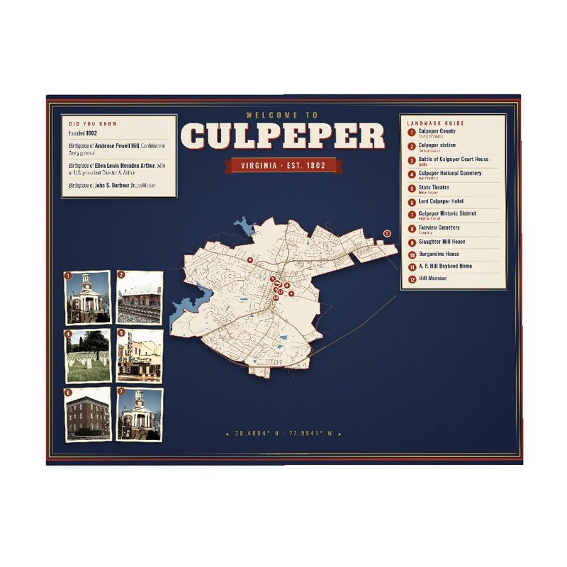





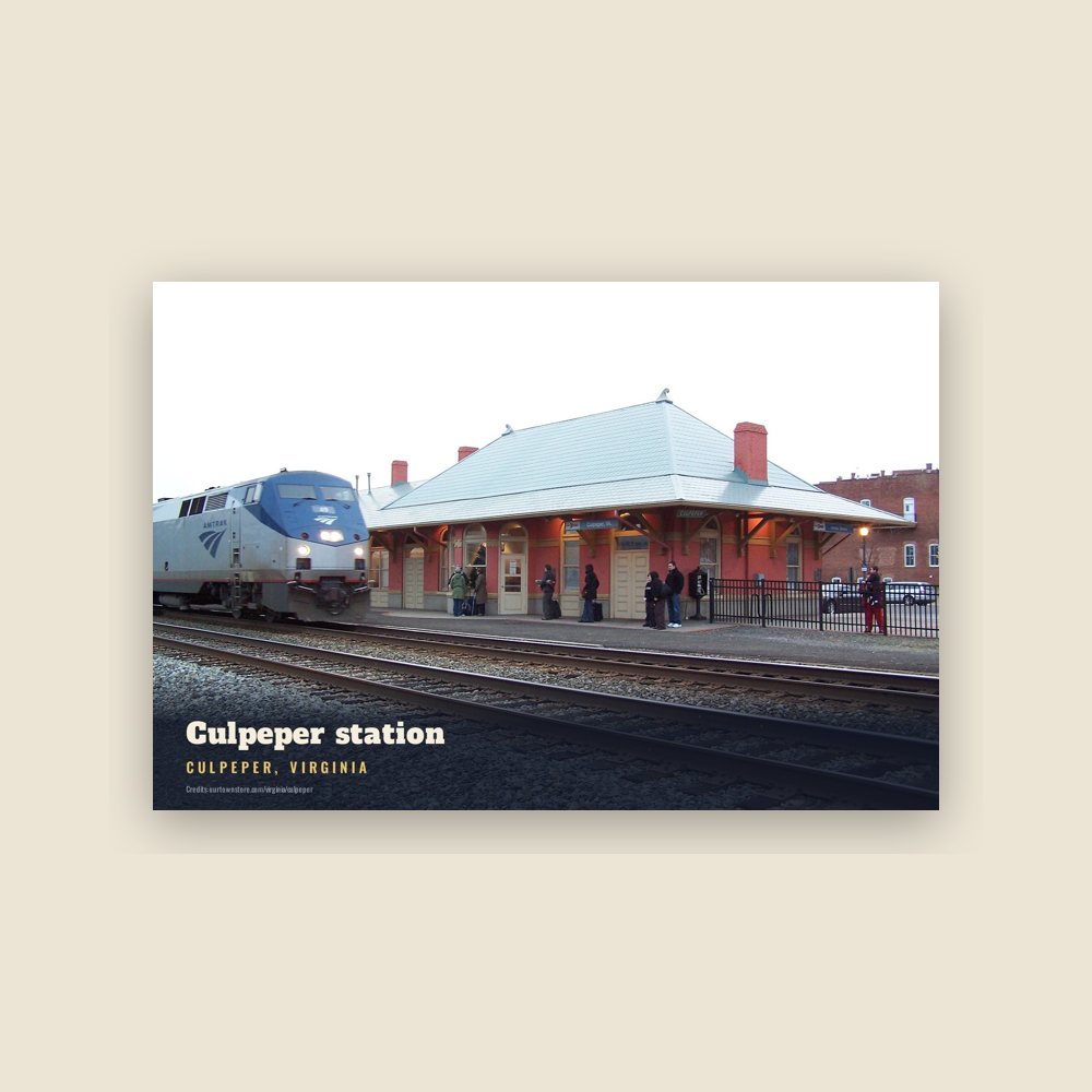





 Culpeper station
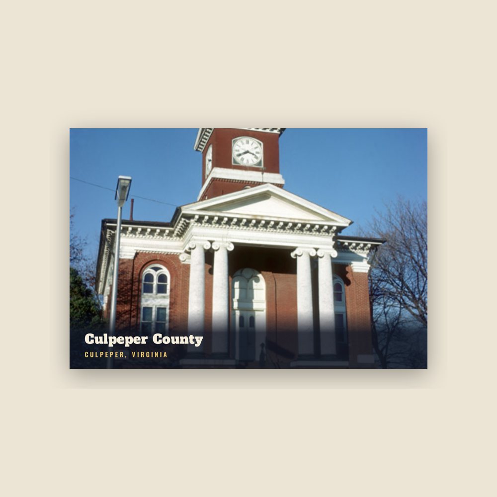
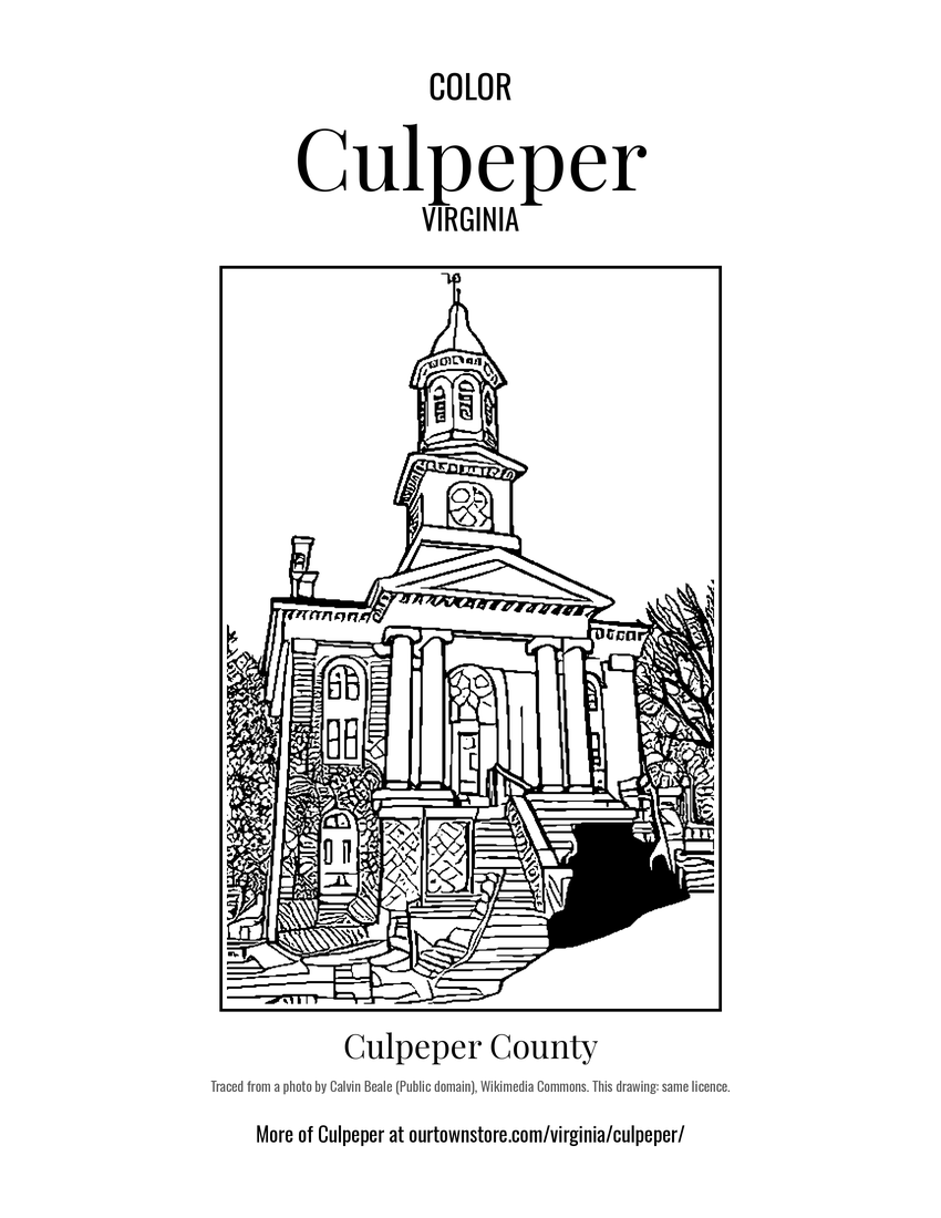 Culpeper County
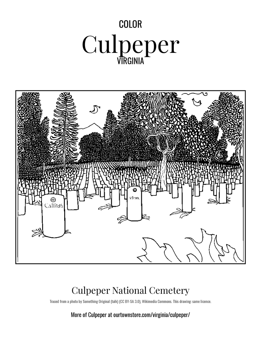 Culpeper National Cemetery
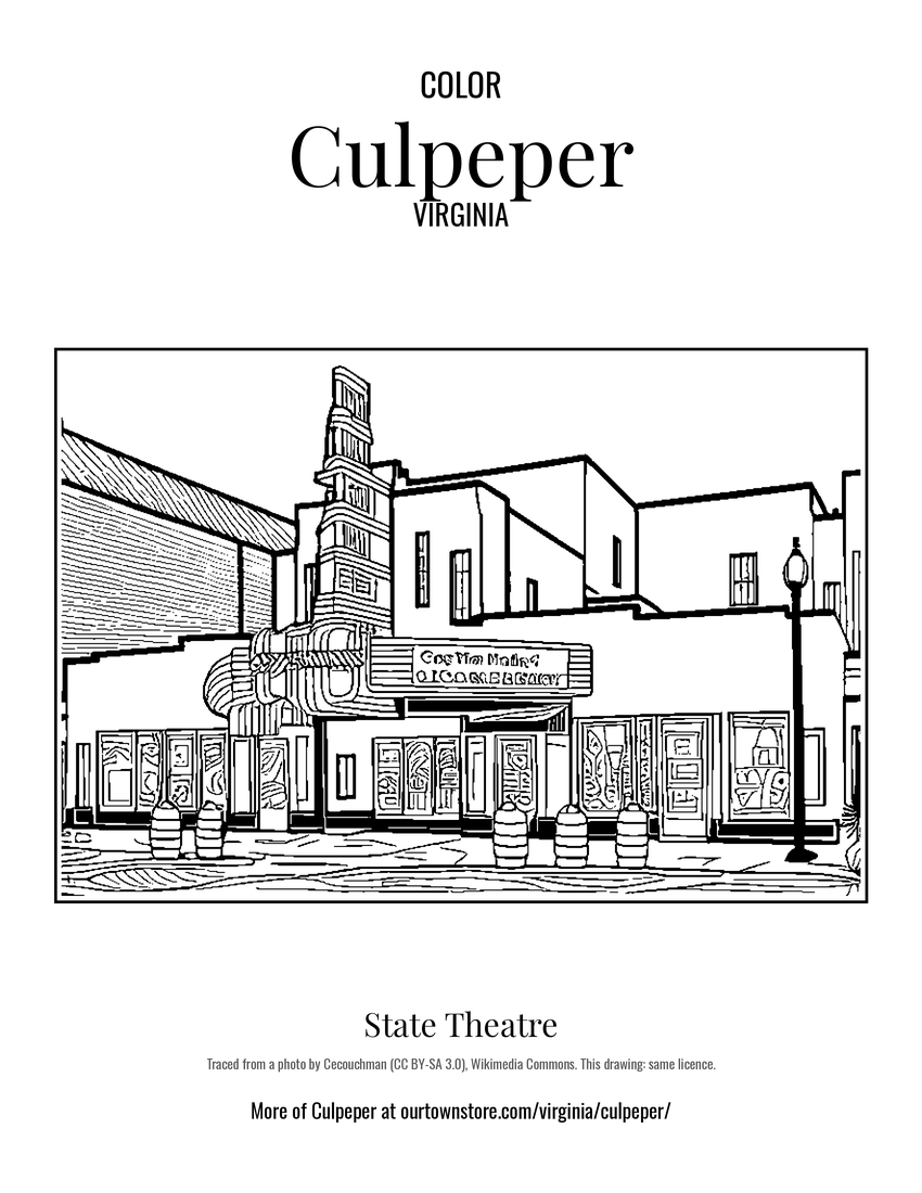 State Theatre