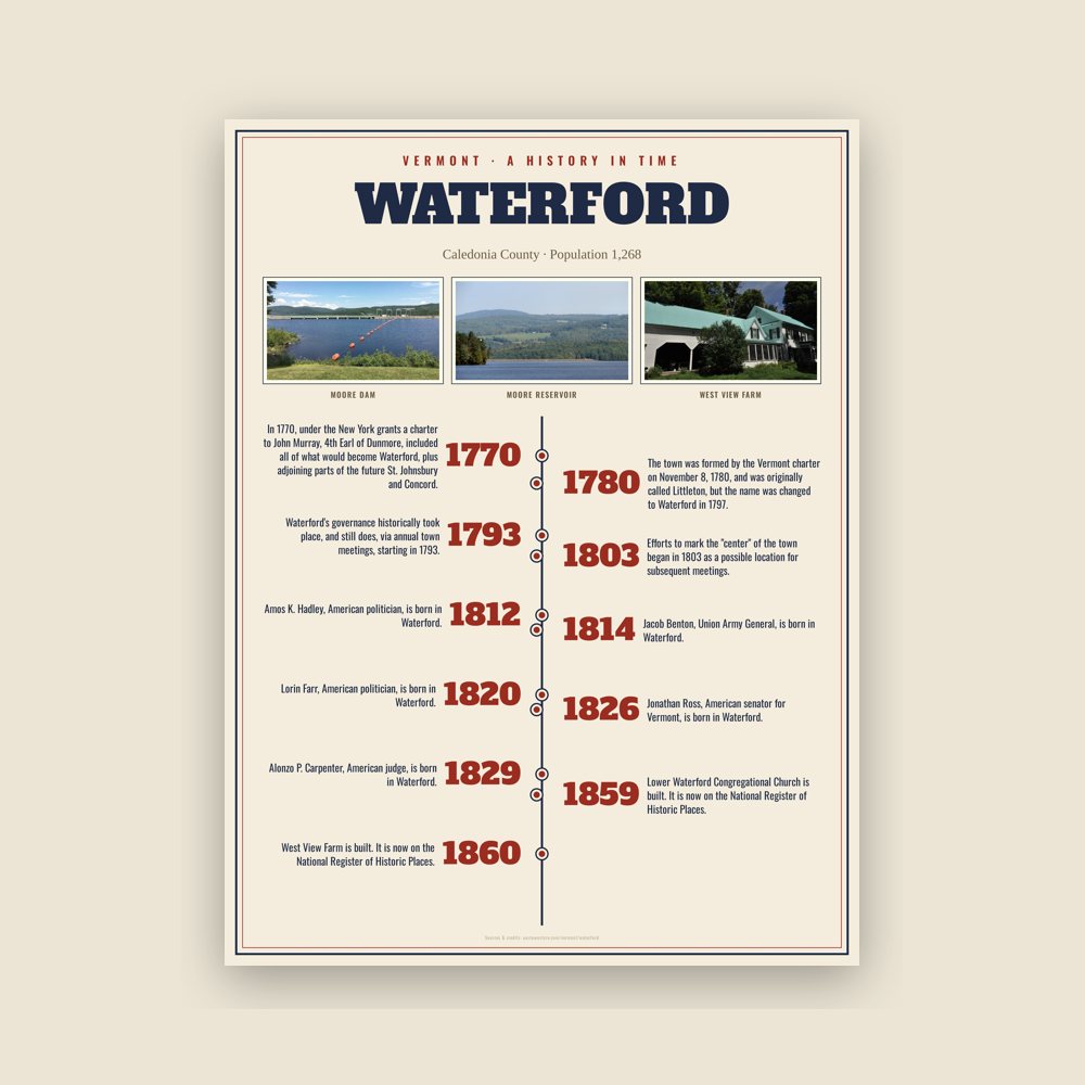
The town was formed by the Vermont charter on November 8, 1780, and was originally called Littleton, but the name was changed to Waterford in 1797. The change prevented confusion with the much larger town of Littleton, New Hampshire, Waterford's neighbor across the Connecticut River. One source suggests town may have been named after Waterford, Ireland, but most refer to the two usable fords that ran across the Connecticut River in that area.
Read the full history
Native Americans
Waterford's location in the Connecticut River Valley indicates that during the Woodland period, Native Americans occupying and tending the area were Western Abenaki. Archaeological reports emphasize the area's role geographically in connecting to the rest of today's New England, and extensive corn farming by pre-Contact people in the intervale meadows along the river's flood plain. By the time written history of Waterford began in the 1780s, few indications of Native American presence remained, other than the name "Indian Hills" for an area along the Waterford–Barnet line.
Charters and grants
Like many Vermont towns, Waterford's origins before the American Revolution involve the conflicting colonial New York and New Hampshire grants. In 1770, under the New York grants a charter to John Murray, 4th Earl of Dunmore, included all of what would become Waterford, plus adjoining parts of the future St. Johnsbury and Concord. Hence "Dunmore" is shown as the "town" name on maps from that period. Narrowing this to the area making up the eventual town of Waterford was a charter granted on November 9, 1780, to Benjamin Whipple and 65 others as proprietors of the town of "Littleton," named for investor Moses Little.
Early settlers
Early settlers are not documented until after this time, and the men's names include James Adams (1783), John and James Wood (1782 or 1785, southwest side of town), Daniel and Nathan Pike ("Upper Waterford"), and Jonathan Hutchinson and Luther Knight (eastern part of town), and Amasa Hastings (West Waterford). One history of the region says that James Adams and his wife Submit won rights to land in Waterford in a singing contest, which James won with a song written by his son Jonathan, called "Brave Wolfe."
Town meetinghouses and government
Waterford's governance historically took place, and still does, via annual town meetings, starting in 1793. However, a gathering of the 65 proprietors took place at the home of Joseph Woods in 1787, accepting by vote a lot survey and map of the town by surveyor William Chamberlain, which in turn was based on the 1784 boundary survey by Scottish-born surveyor James Whitelaw. The first town meeting after that, in 1793, was at the home of Nehemiah Hadley (located near the Connecticut River where the 1875 Beers map shows H.C. Davison). Five more meetings followed in the same Davison farm area, with subsequent gatherings at other farmhouses, including that of Asa Grow. Efforts to mark the "center" of the town began in 1803 as a possible location for subsequent meetings. In 1818, three structures were built specifically as meetinghouses, as the town developed clusters of population in regions then known as "Waterford" (later Upper Waterford), Lower Waterford, Waterford Hollow, and West Waterford ("Snuff Box Meeting House," soon chosen for subsequent meetings). Later annual meetings were regularly held in the vestry (gathering hall) of the Congregational Church at Lower Waterford, a custom that continued for most years until the town built a central school, which opened in 1952.
Governance was via a board of selectmen. In 1793 the first town officers were chosen: Selectmen Nehemiah Hadley, Daniel Pike, and Peter Sylvester; Town Clerk Selah Howe; Constable Samuel Fletcher, Treasurer Abel Goss; and Listers Levi Aldrich, Levi Goss, and Luther Pike.
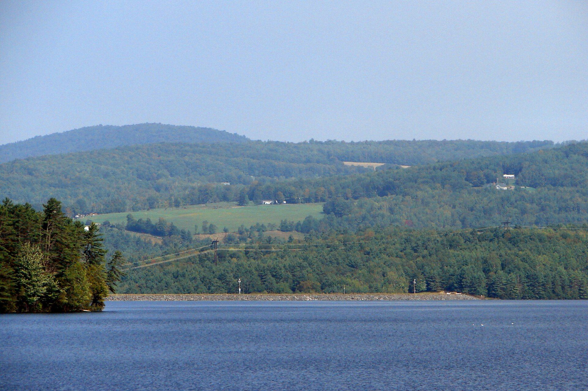
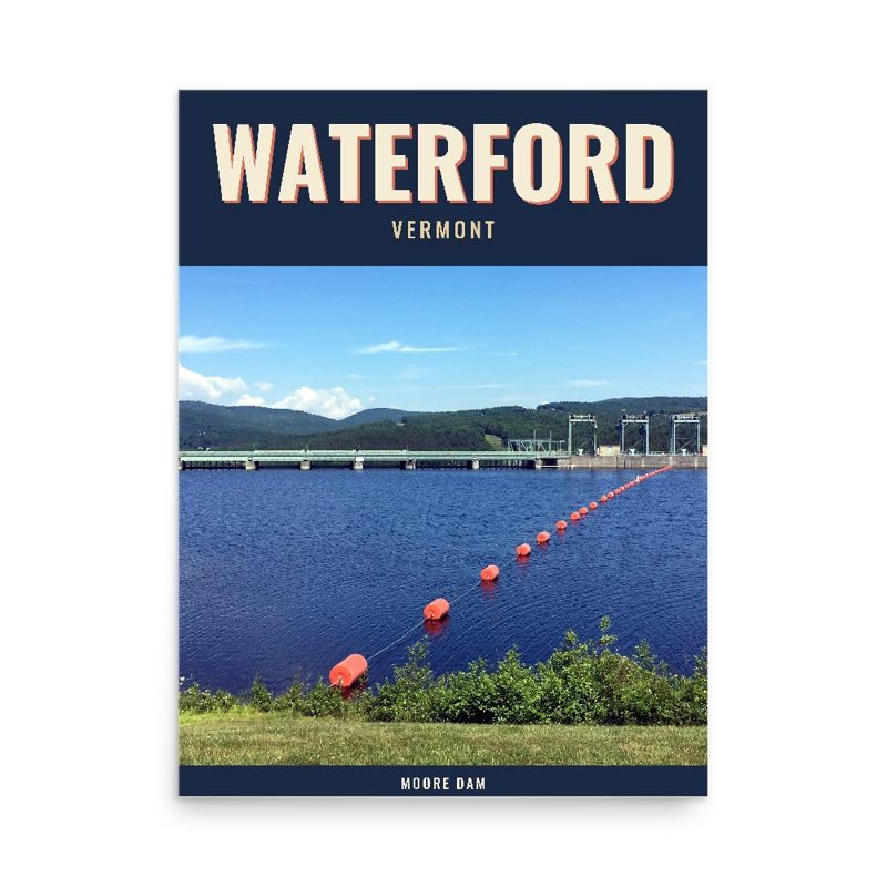
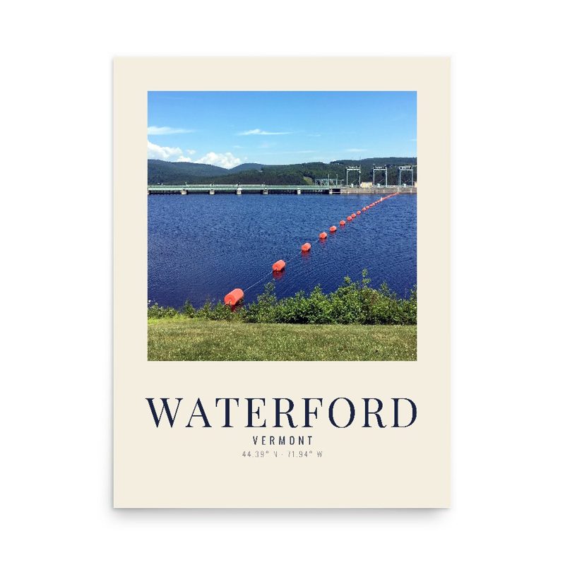
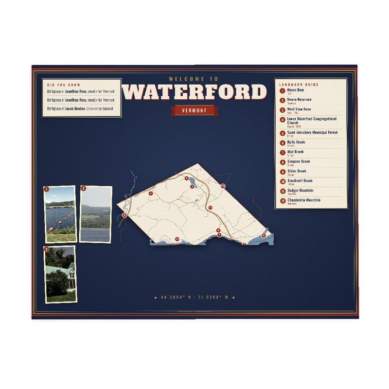

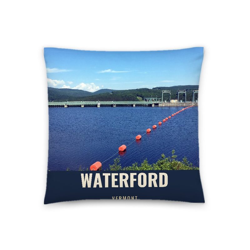


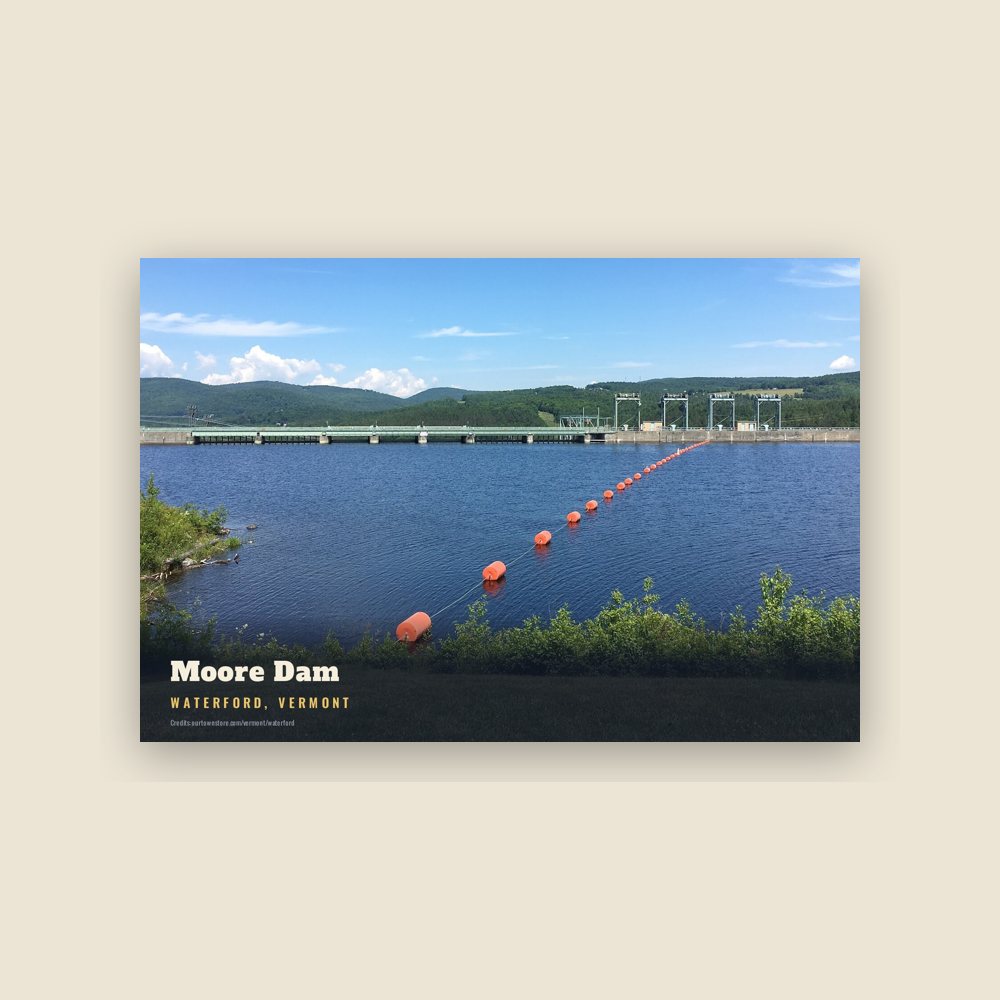
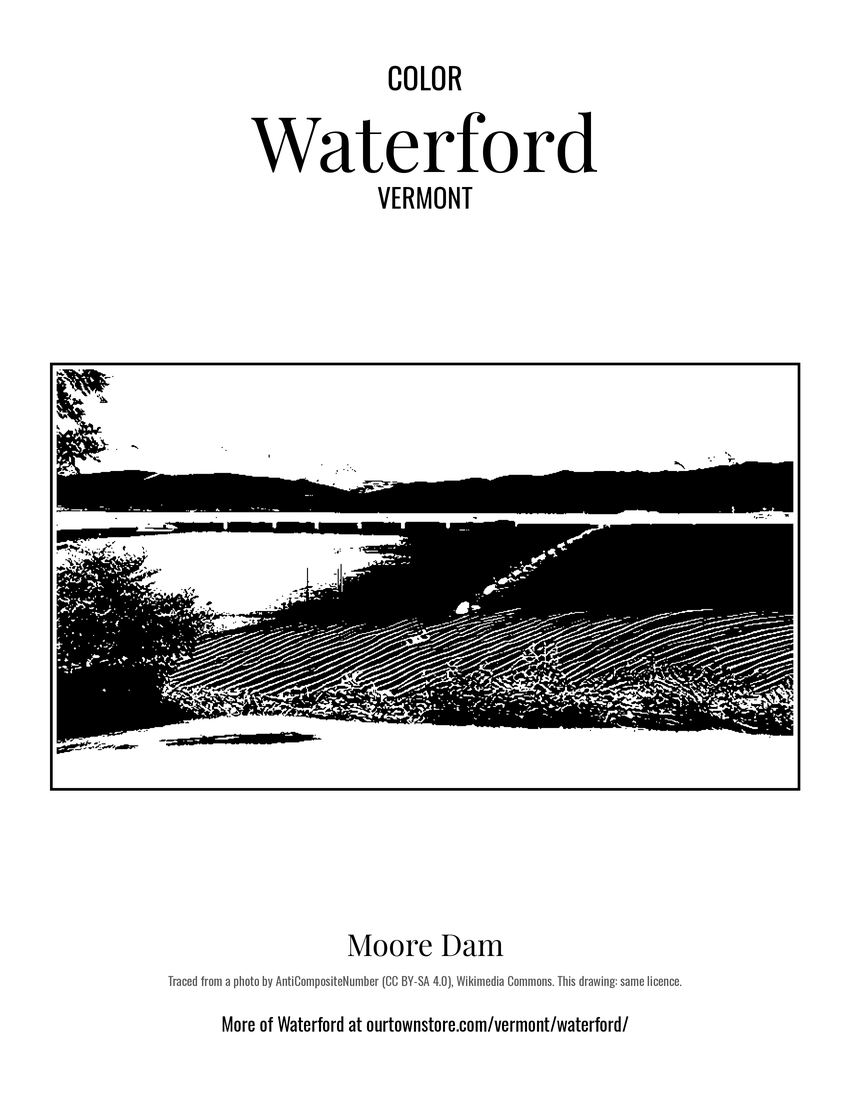 Moore Dam
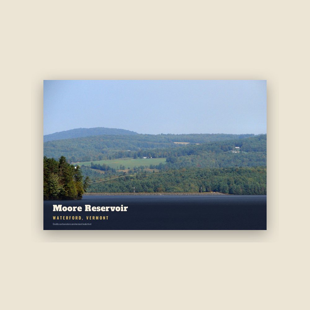
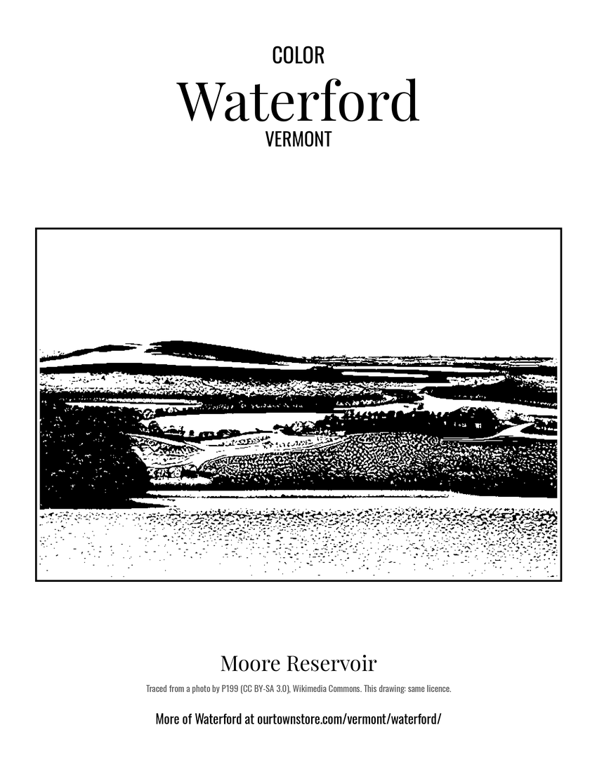 Moore Reservoir
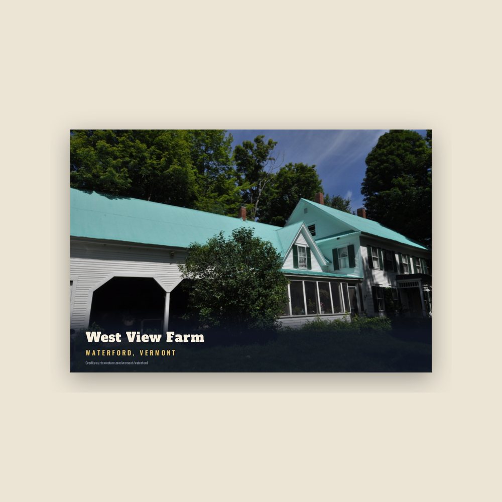
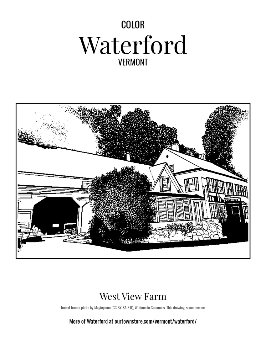 West View Farm