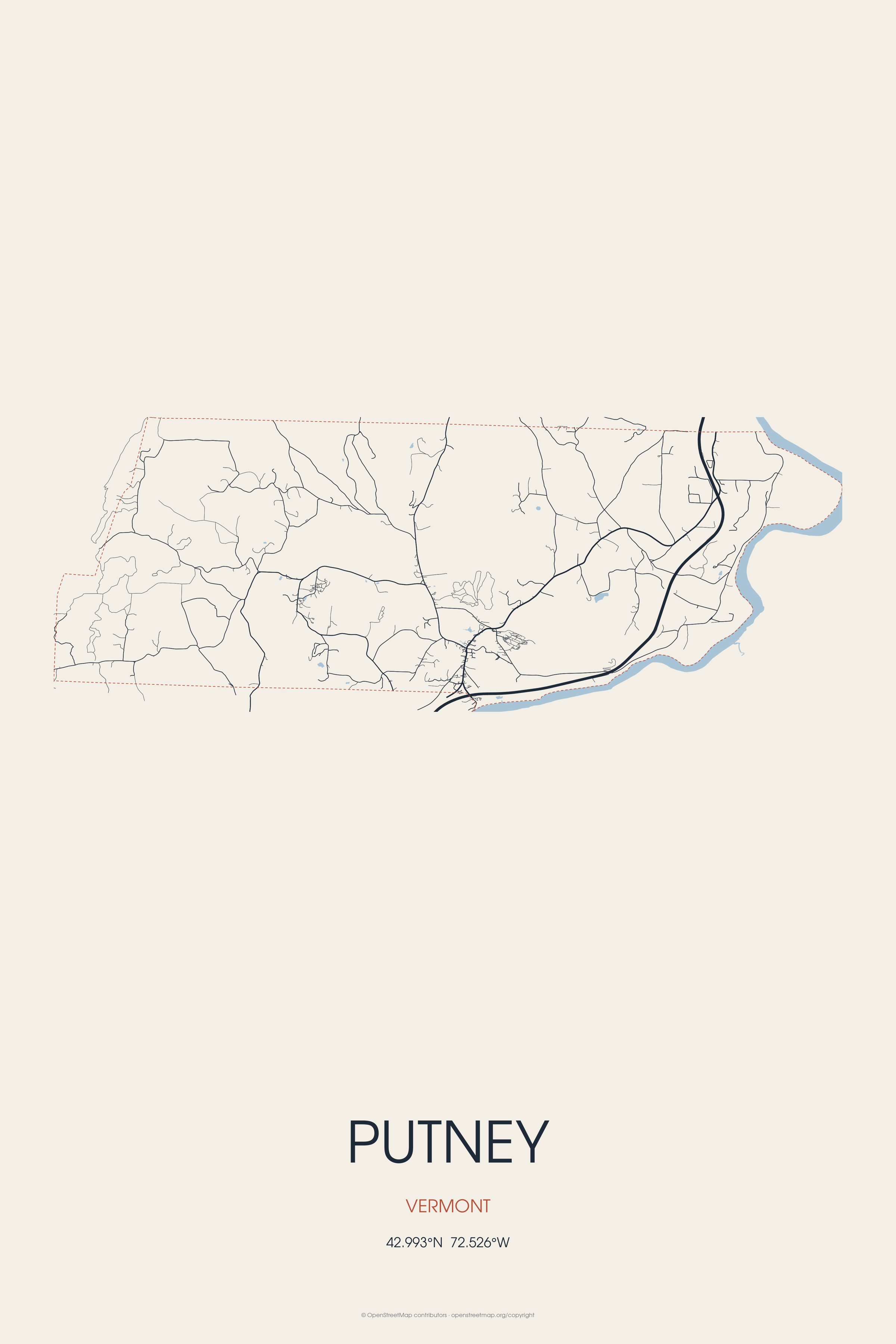
On December 26, 1753, Colonel Josiah Willard led a proprietors' petition for a Putney charter to be established in the Equivalent Lands. Landmarks include Sabin-Wheat Farm, Putney Village Historic District and Theophilus Crawford House. Putney is the birthplace of Samuel Bemis, photographer.
Every piece is drawn from Putney's own map data and historic archives, then printed and shipped from the USA when you order. No two towns look alike.
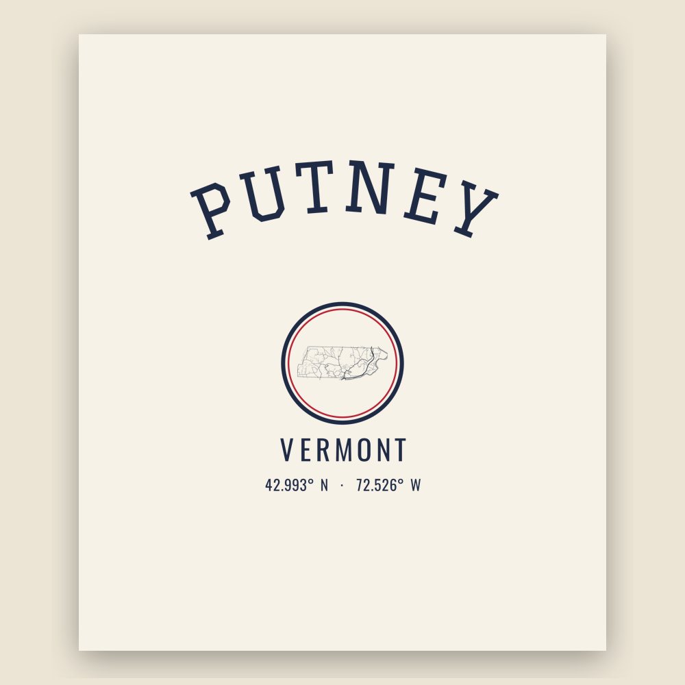
Every road in town, on archival matte paper

The same map, in navy and silver
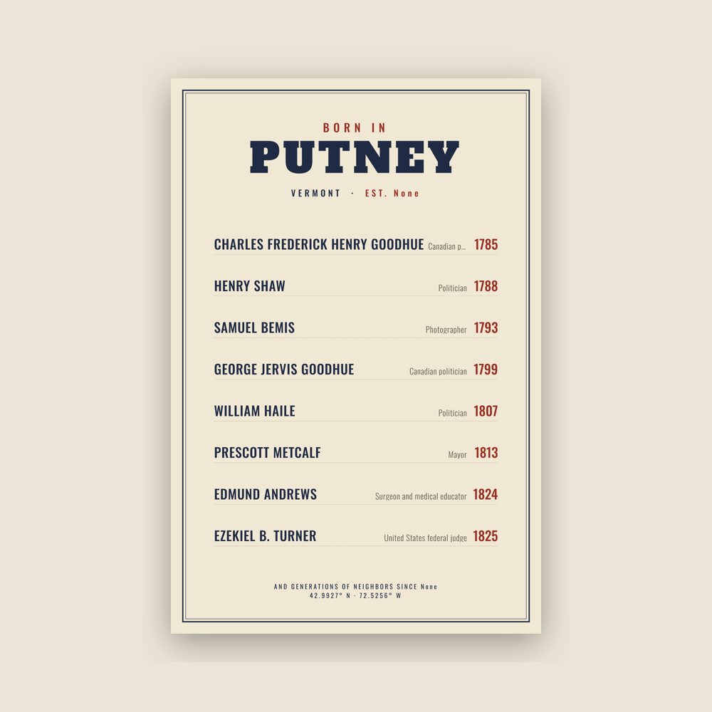
Famous natives, by birth year
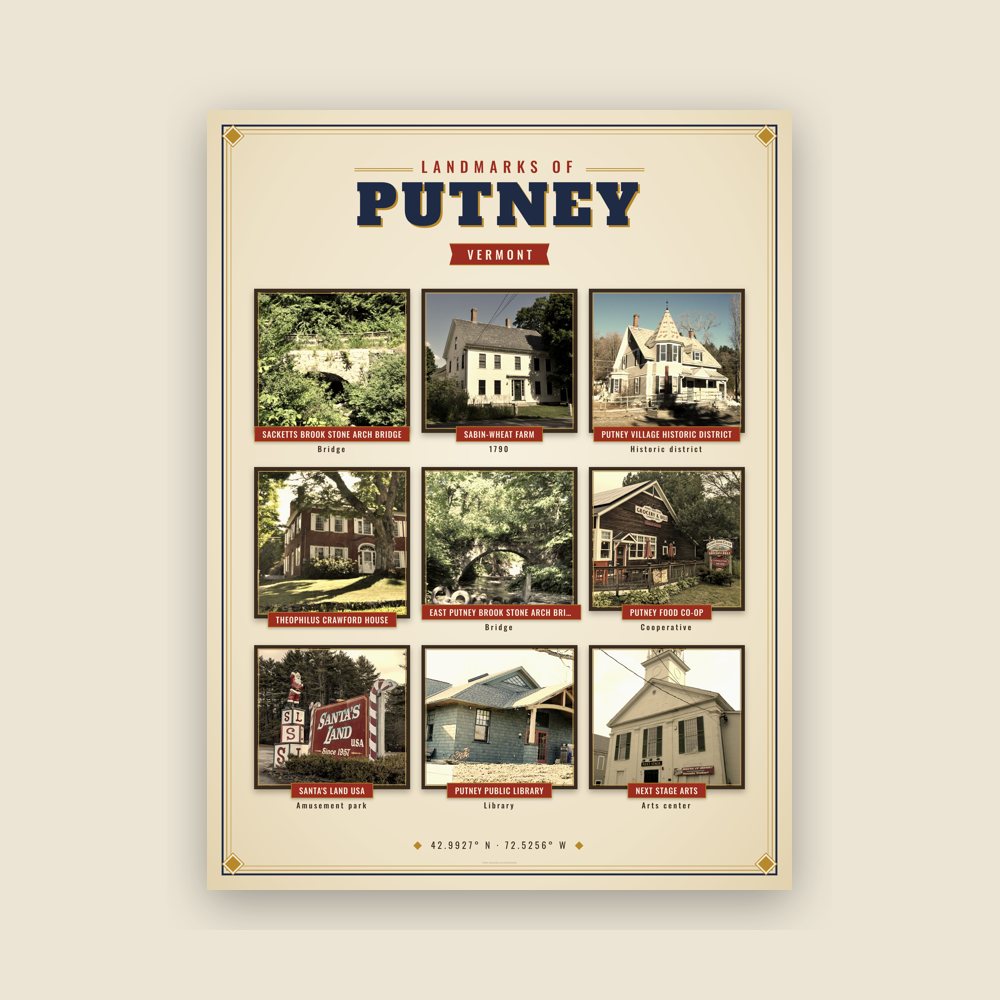
Nine local landmarks, archival matte
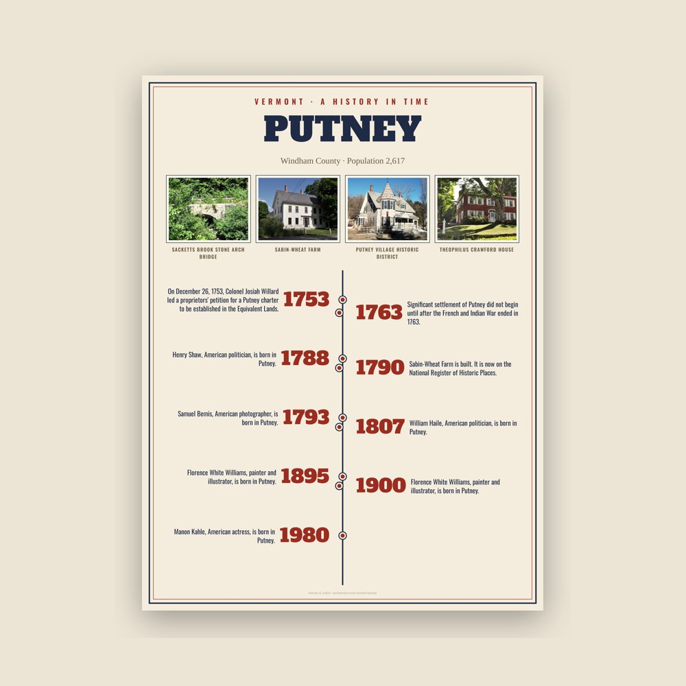
The town's story in dates, from its own records, for home or classroom
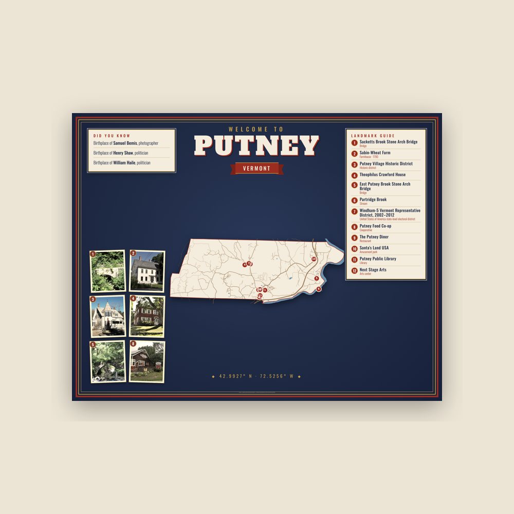
Map of local landmarks, washable fabric

Heavy-blend fleece, street map printed on the back

Soft Bella+Canvas jersey
Glossy ceramic, dishwasher safe
Ceramic keepsake, gold ribbon
Weatherproof, for the front walk

24″×16″, printed coir-look fibers, rubber back
12″×12″ printed wood, ready to hang
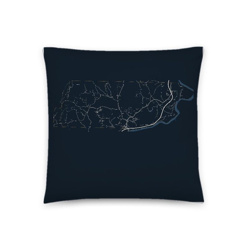
Soft-touch, zip cover

Sturdy all-over-print tote
Glossy top, cork back
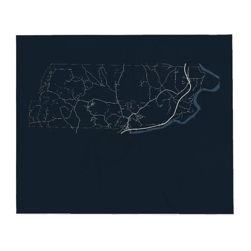
Soft fleece, 50″×60″
20 oz, double-wall stainless
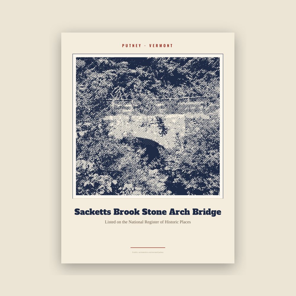
Archival matte print of a local landmark, credited to its photographer
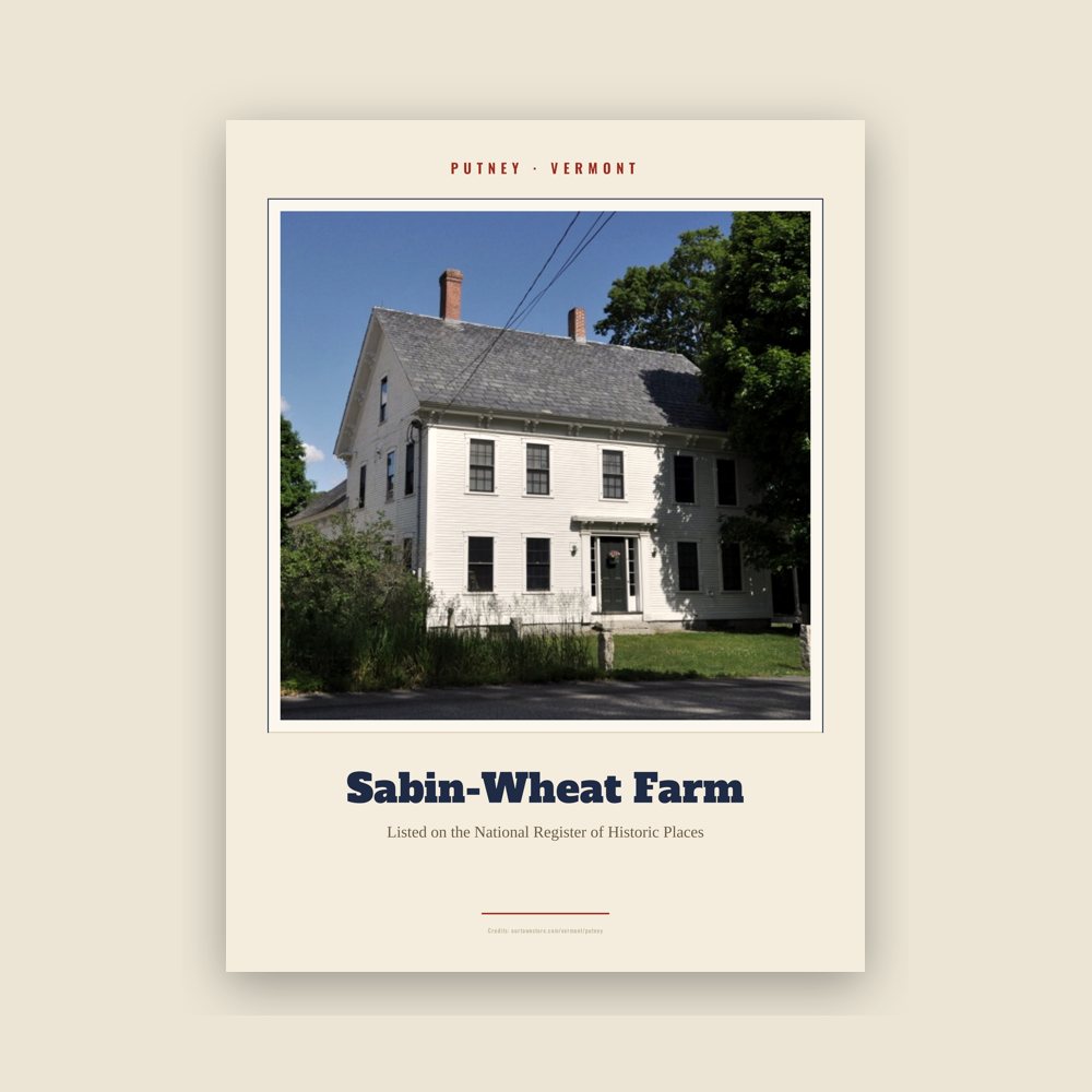
Archival matte print of a local landmark, credited to its photographer
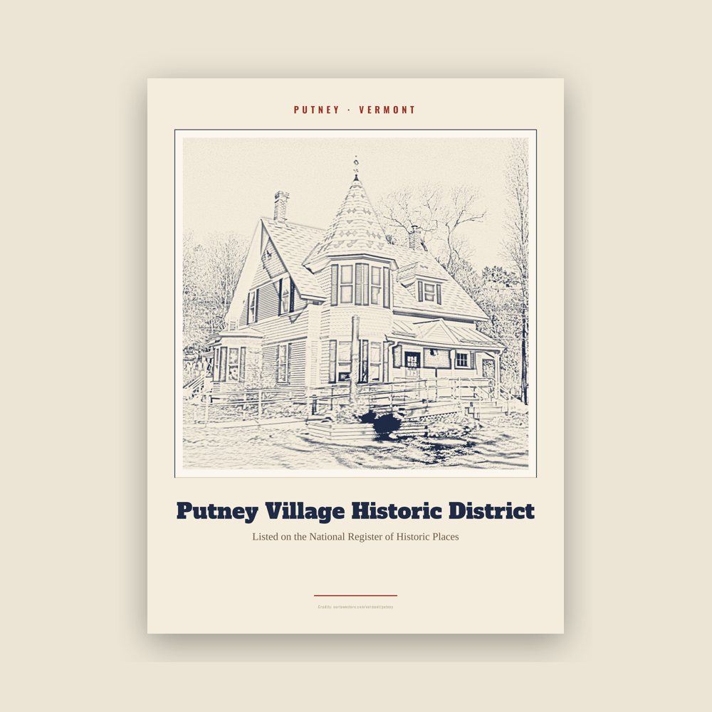
Archival matte print of a local landmark, credited to its photographer
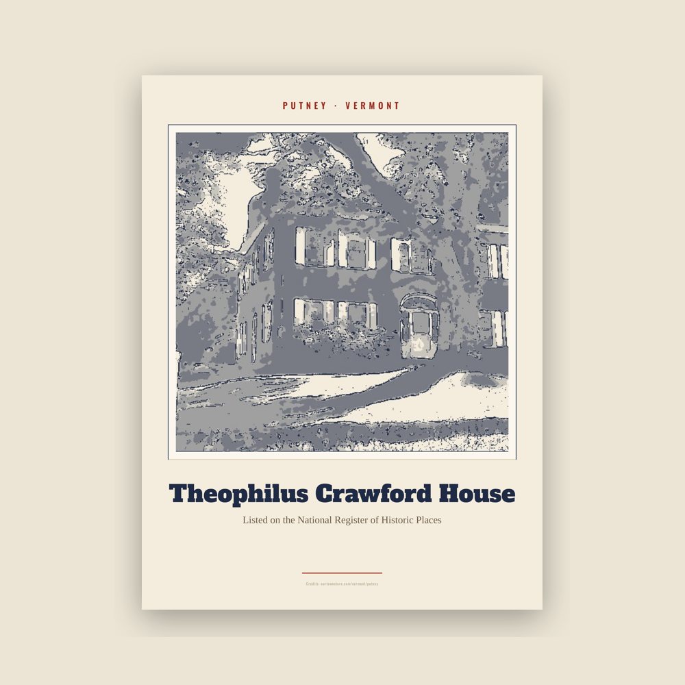
Archival matte print of a local landmark, credited to its photographer
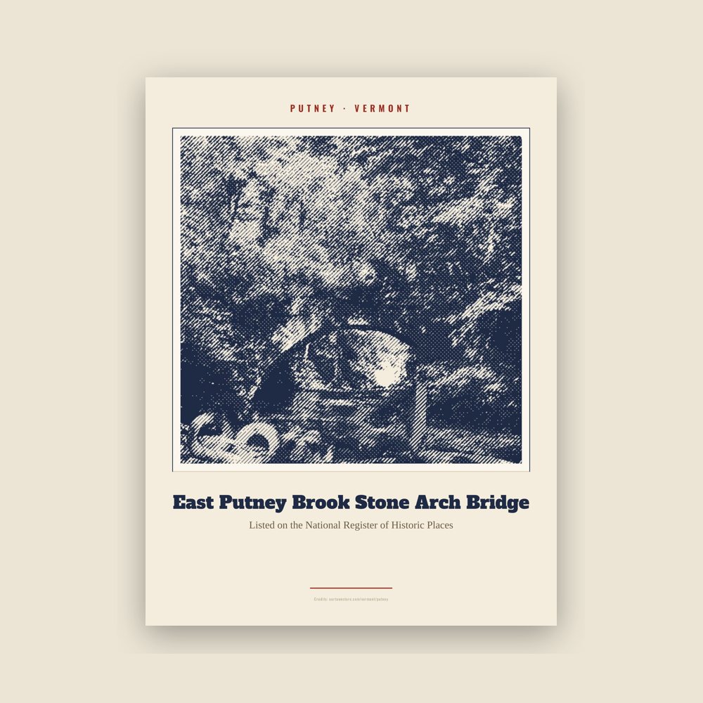
Archival matte print of a local landmark, credited to its photographer
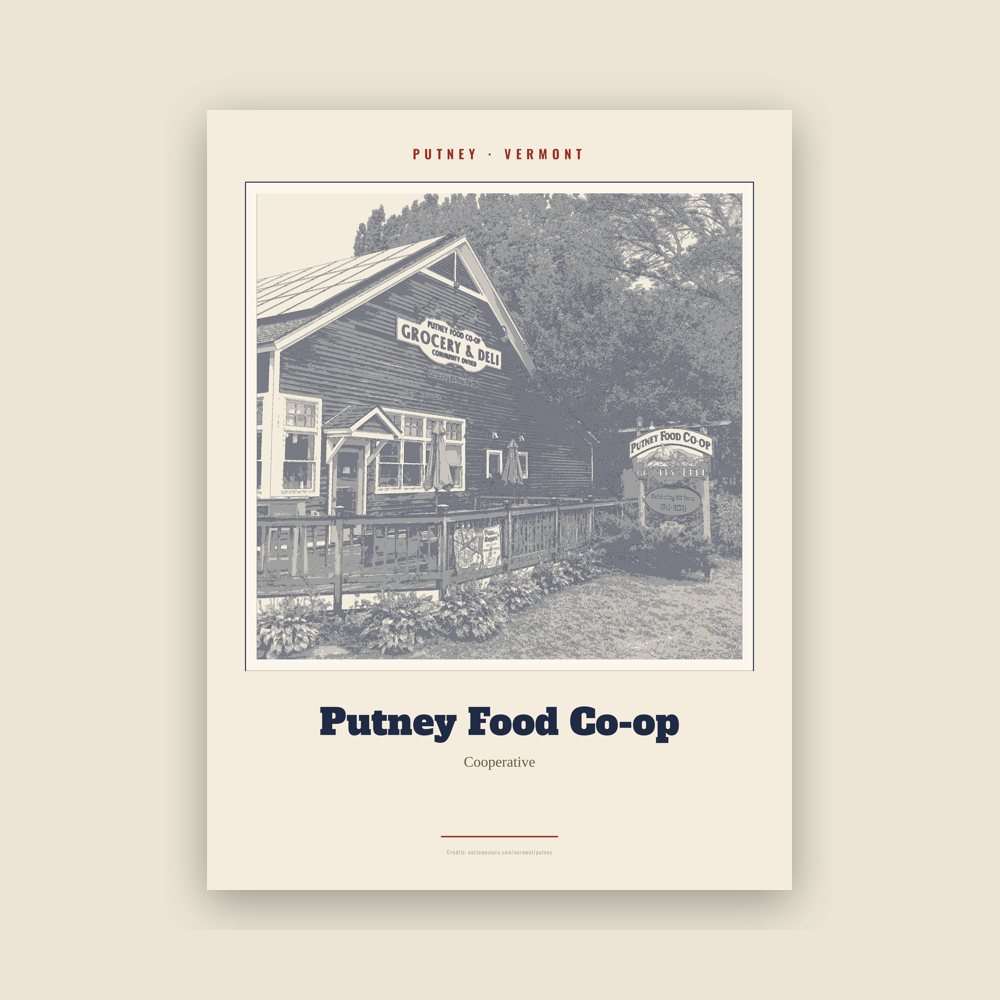
Archival matte print of a local landmark, credited to its photographer
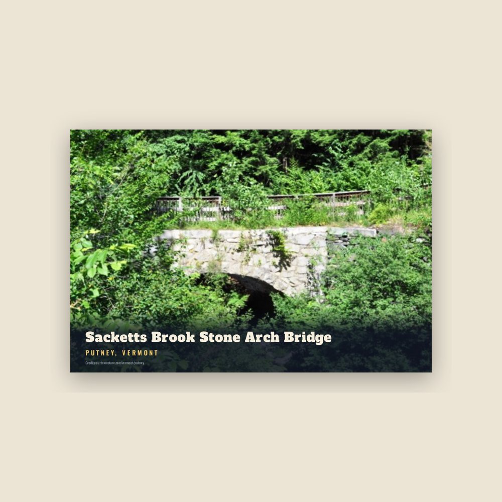
6″×4″ postcard, glossy front
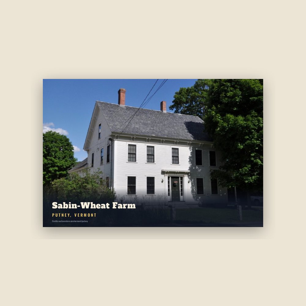
6″×4″ postcard, glossy front
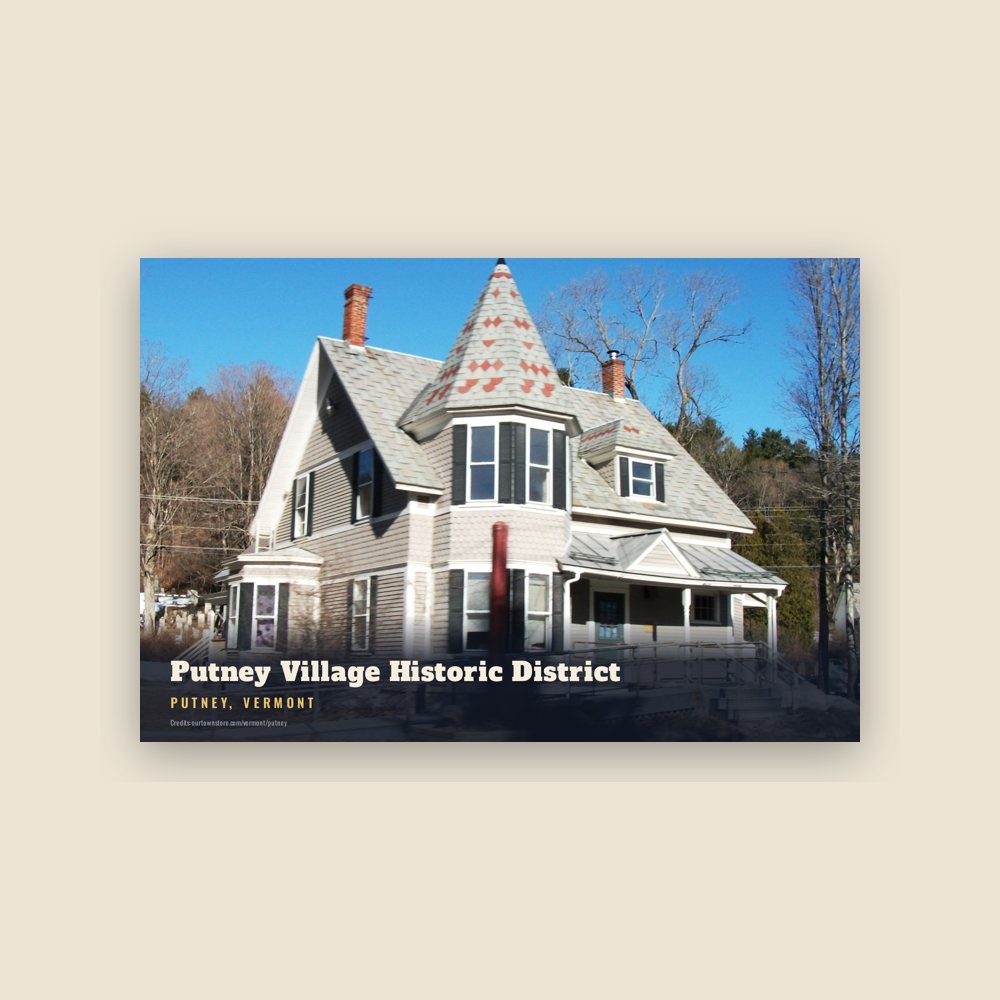
6″×4″ postcard, glossy front
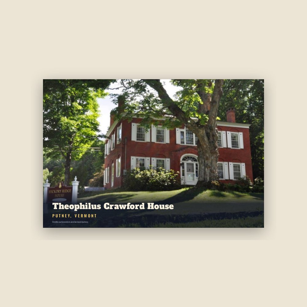
6″×4″ postcard, glossy front
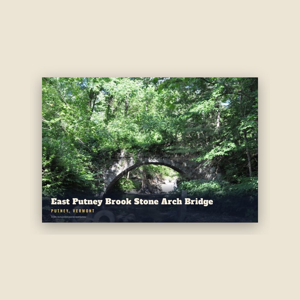
6″×4″ postcard, glossy front

6″×4″ postcard, glossy front
Population 2010: 2,702 → 2020: 2,617
From Wikidata (CC0).
On December 26, 1753, Colonel Josiah Willard led a proprietors' petition for a Putney charter to be established in the Equivalent Lands. The charter was issued that day by Governor Benning Wentworth – issuer of the New Hampshire Grants under the authority of King George II of Great Britain. Significant settlement of Putney did not begin until after the French and Indian War ended in 1763.
The town arose in a large plain on the west side of the Connecticut River, above the mouth of Sacketts Brook. A falls on the brook provided water power for early mills, and it is around that point that the main village was formed. Because the town did not have abundant sources of water power, it was largely bypassed by the Industrial Revolution of the mid-19th century, and remained largely rural in character. The village's character is defined by the Federal and Greek Revival styles popular during its most significant period of growth, the late 18th to mid-19th century.
Adapted (trimmed) from the Wikipedia article Putney, Vermont, revision 1378968718 by its contributors, licensed CC BY-SA 4.0.
We share a part of every Putney sale with local partners, and we'd love to print from your collection. Old photographs, maps and postcards make the best keepsakes.
Partner with us