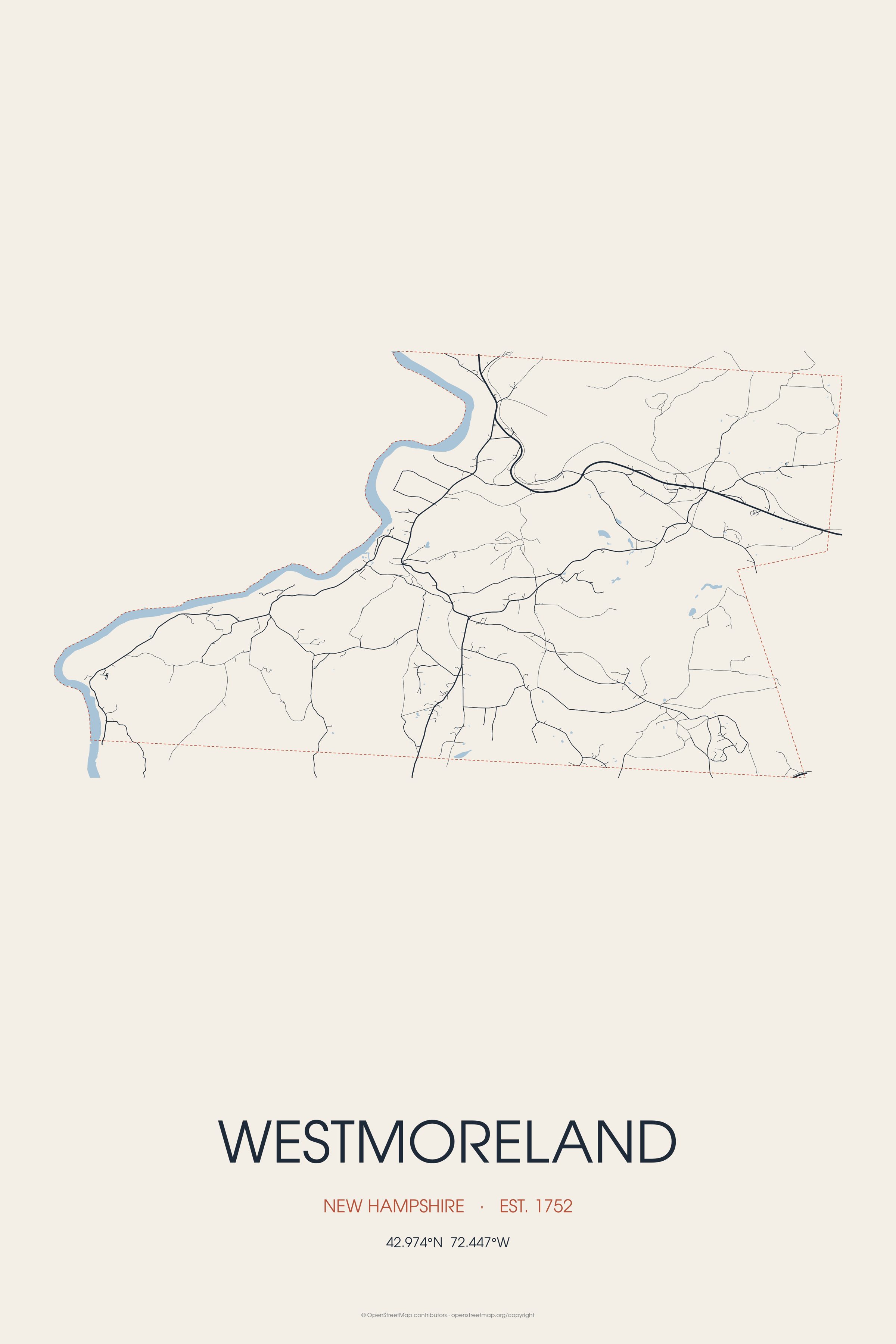
Westmoreland is historically an agricultural town, with much arable farmland. Westmoreland is the birthplace of Davita Prendergast, jamaican sprinter.
Every piece is drawn from Westmoreland's own map data and historic archives, then printed and shipped from the USA when you order. No two towns look alike.
Every road in town, on archival matte paper
The same map, in navy and silver
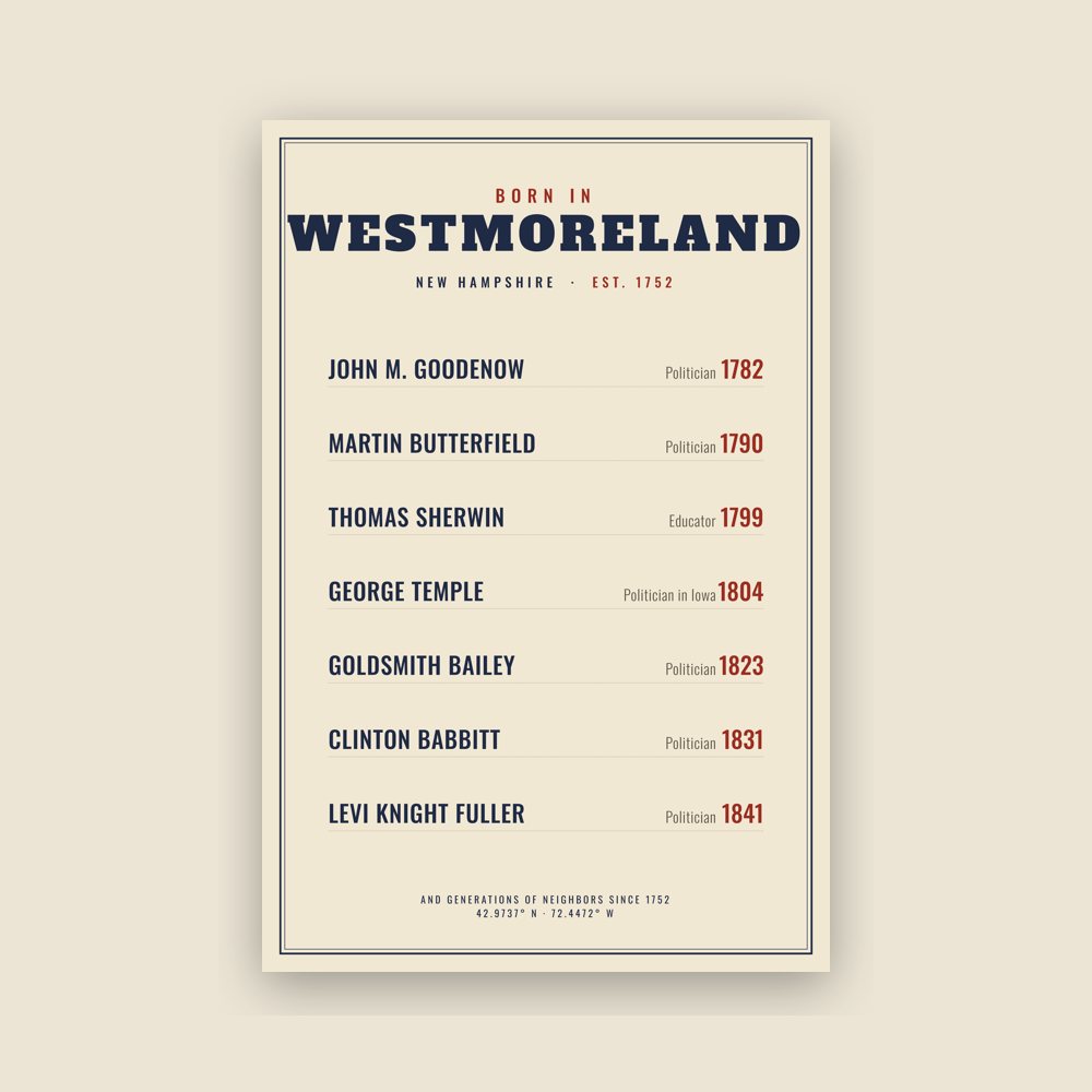
Famous natives, by birth year
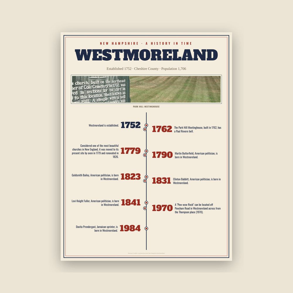
The town's story in dates, from its own records, for home or classroom
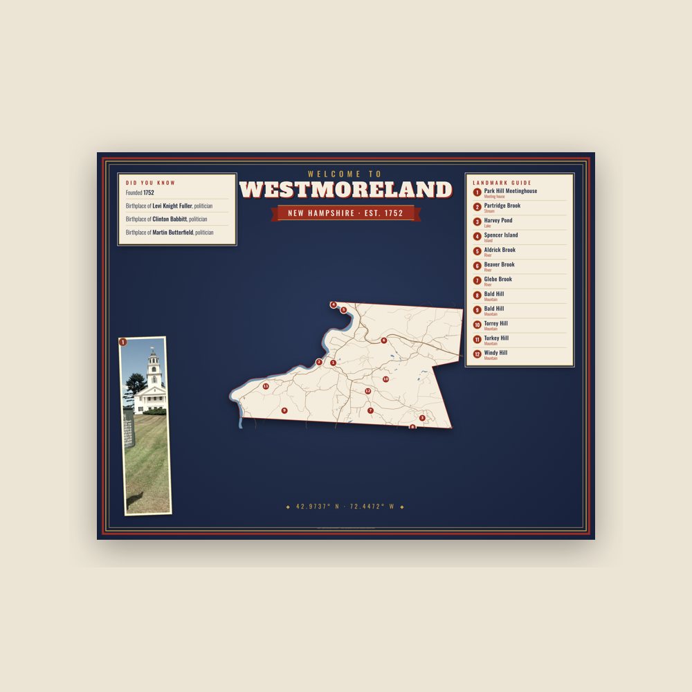
Map of local landmarks, washable fabric
Heavy-blend fleece, street map printed on the back
Soft Bella+Canvas jersey
Glossy ceramic, dishwasher safe
Ceramic keepsake, gold ribbon
Weatherproof, for the front walk
24″×16″, printed coir-look fibers, rubber back
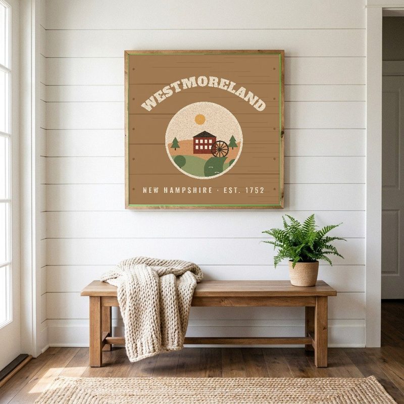
12″×12″ printed wood, ready to hang
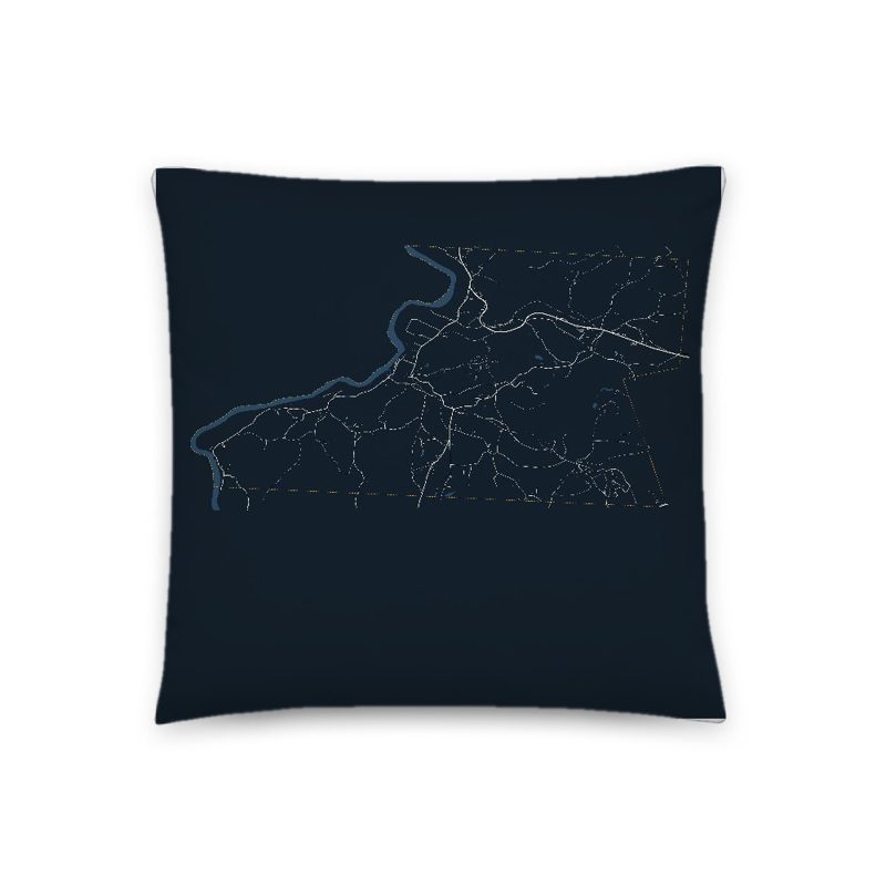
Soft-touch, zip cover
Sturdy all-over-print tote
Glossy top, cork back
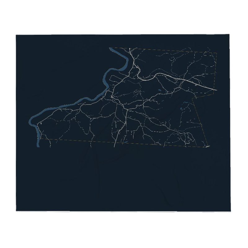
Soft fleece, 50″×60″
20 oz, double-wall stainless
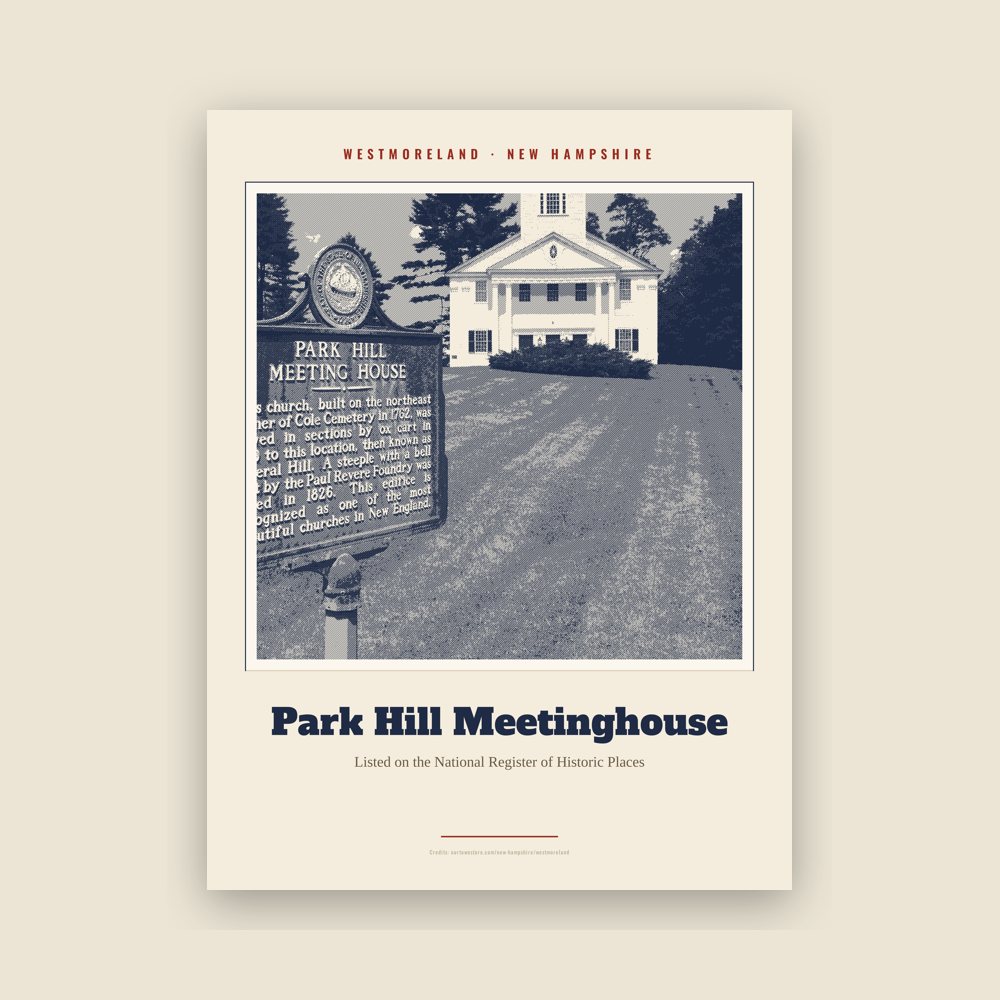
Archival matte print of a local landmark, credited to its photographer
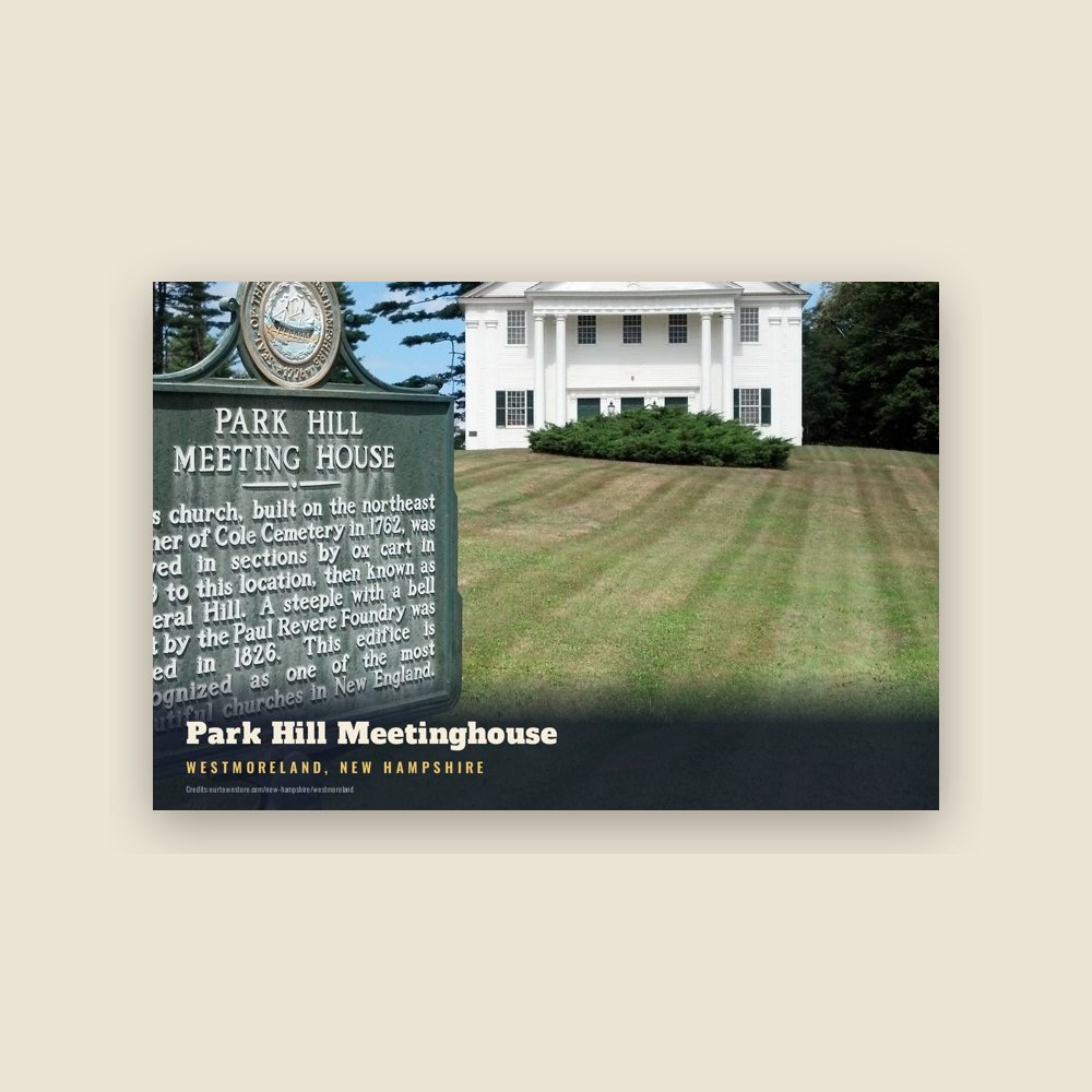
6″×4″ postcard, glossy front
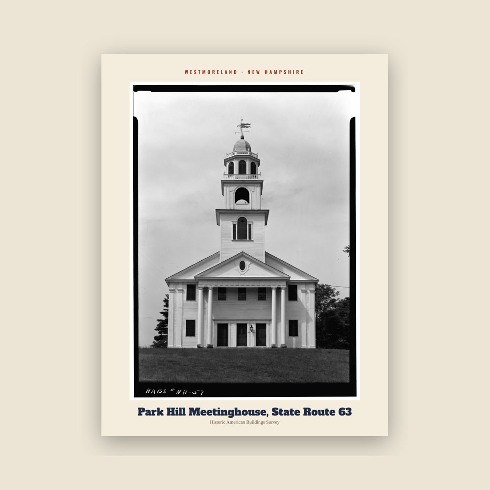
From the Library of Congress collections: a historic survey drawing or photograph of the town
Population 2010: 1,874 → 2020: 1,706
From Wikidata (CC0).
Prior to European colonization, present-day Westmoreland was inhabited by numerous indigenous tribes. The upper Connecticut River valley was a popular region for short-term Indigenous villages mostly used for hunting and fishing. Tribes such as the Pennacook Confederation and the Abenaki were frequent visitors to the area. In the 1670s, King Philip's War led to the migration of most indigenous tribes to Canada. Indigenous peoples did not understand the concept of individual land ownership, which resulted in numerous misunderstandings and conflict between them and English settlers. The English settlers purchase of land and construction of permanent settlements disrupted the hunting and fishing traditions of the indigenous tribes.
While Indigenous activity was common in Westmoreland, not many aboriginal sites have been found. A "Pow-wow Rock" can be located off Poocham Road in Westmoreland across from the Thompson place (1970). The name Poocham is an Abenaki word for "gathering place". The Pow-wow Rock is a large boulder that was deposited by glaciers and is measured at 12 by 14 by 8 feet (3.7 by 4.3 by 2.4 m) in height. At this location, records describe the hosting of Indigenous pow-wows and the exchanging of prisoners.
Once known as "Great Meadow", the town was first granted in 1735 by Governor Jonathan Belcher of Massachusetts as "Number 2", second in a line of Connecticut River fort towns designed to protect the colonies from Indian attack. This part of the river was a favorite Indian campsite, and the settlers who came beginning in 1741 were several times victims of attack. When the border between Massachusetts and the Province of New Hampshire was fixed (with Number 2 on the New Hampshire side), the town was regranted in 1752 by Governor Benning Wentworth as Westmoreland, named for John Fane, 7th Earl of Westmorland.
The Park Hill Meetinghouse, built in 1762, has a Paul Revere bell. Considered one of the most beautiful churches in New England, it was moved to its present site by oxen in 1779 and renovated in 1826.
Adapted (trimmed) from the Wikipedia article Westmoreland, New Hampshire, revision 1379601775 by its contributors, licensed CC BY-SA 4.0.
We share a part of every Westmoreland sale with local partners, and we'd love to print from your collection. Old photographs, maps and postcards make the best keepsakes.
Partner with us