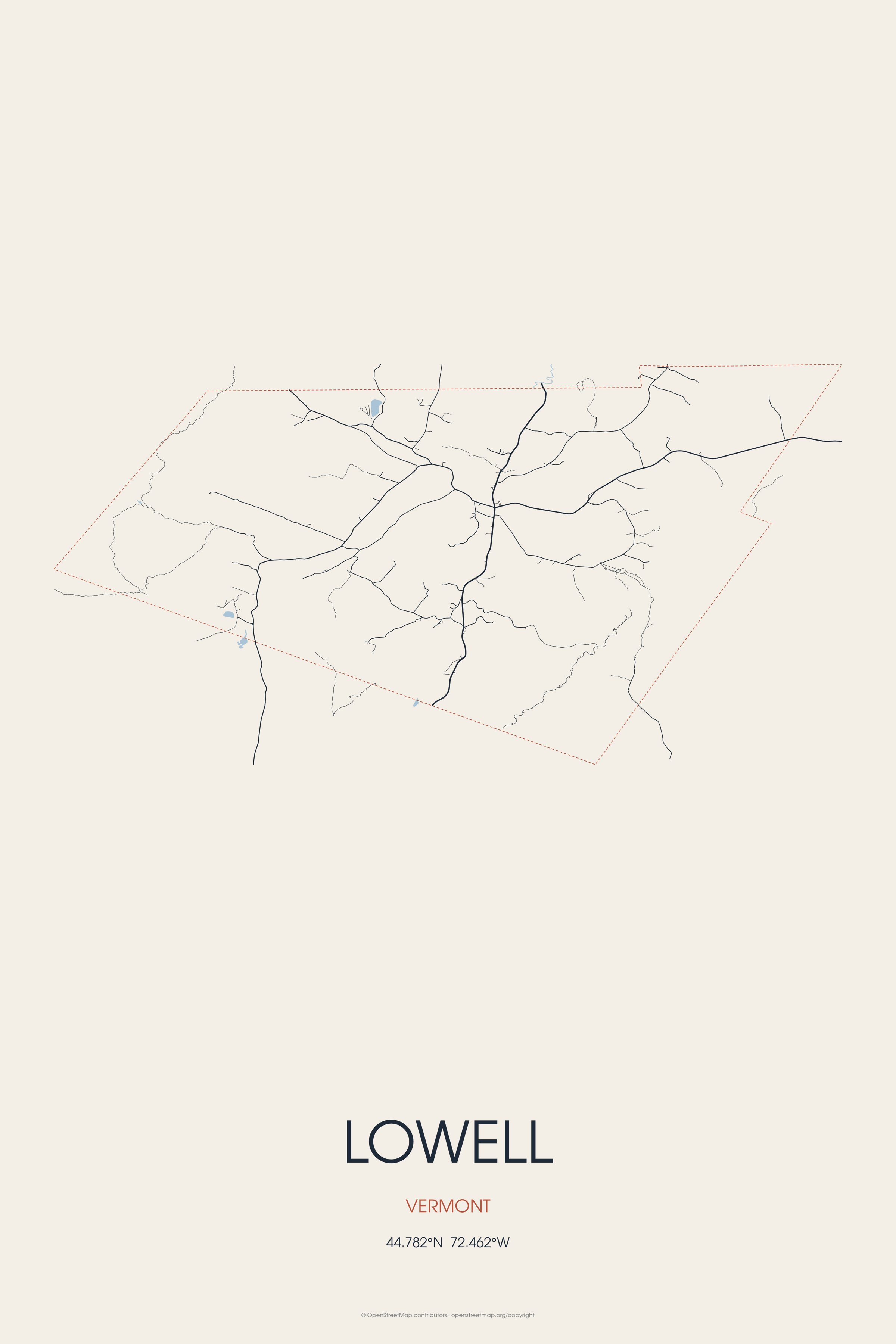
Lowell is the westernmost town in Orleans County, Vermont, United States. Lowell is the birthplace of Martha Ripley, physician.
Every piece is drawn from Lowell's own map data and historic archives, then printed and shipped from the USA when you order. No two towns look alike.
Every road in town, on archival matte paper
The same map, in navy and silver
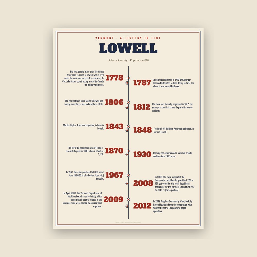
The town's story in dates, from its own records, for home or classroom
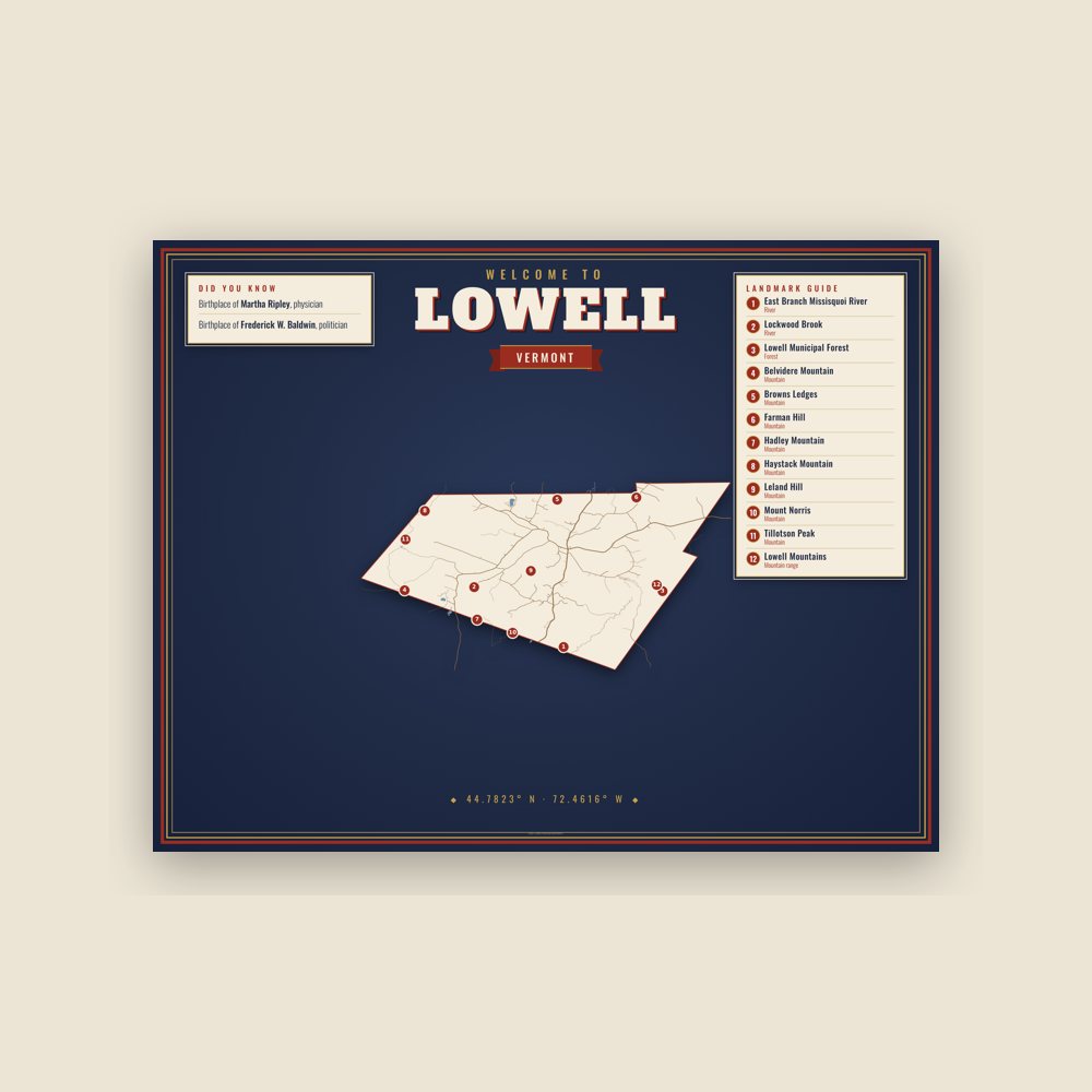
Map of local landmarks, washable fabric
Heavy-blend fleece, street map printed on the back
Soft Bella+Canvas jersey
Glossy ceramic, dishwasher safe
Ceramic keepsake, gold ribbon
Weatherproof, for the front walk
24″×16″, printed coir-look fibers, rubber back
12″×12″ printed wood, ready to hang
Soft-touch, zip cover
Sturdy all-over-print tote
Glossy top, cork back
Soft fleece, 50″×60″
20 oz, double-wall stainless
Lowell was chartered in 1787 by Governor Thomas Chittenden to John Kelley in 1787, for whom it was named Kellyvale. The first people other than the Native Americans to come to Lowell was in 1778 when the area was surveyed, preparatory to Col. John Hazen constructing a road to Canada for military purposes. This road was abandoned at what is now named Hazen’s Notch on Route 58.
The first settlers were Major Caldwell and family from Barre, Massachusetts in 1806. The town was formally organized in 1812, the same year the first school began with twelve students.
During the first half of the nineteenth century, the population inflow was predominantly from other states of the US. In the second half the new arrivals were more often foreign-born - from Ireland and from French-speaking Canada. By 1870 the population was 944 and it reached its peak in 1890 when it stood at 1,178. Farming and lumber were its main economic base. Dairy products and hardwood were both exported to other states. Silsby and Company lumber mill closed in the 1920s. This loss of jobs resulted in a population drop of 40% between 1920 and 1940.
Lumber exports stopped by 1930. Farming has experienced a slow but steady decline since 1930 or so. Consistent with all of Vermont’s Northeast Kingdom, Lowell lost population throughout most of the twentieth century. This trend reversed in the mid-1980s.
The asbestos mine in Lowell was of economic importance from the 1940s to the mid-1980s. In the mid-1940s, the Belvidere mines produced more than 90% of all U.S. asbestos. In 1967, the mine produced 50,000 short tons (45,000 t) of asbestos fiber [sic] annually. It closed in 1992.
In 2008, the town supported the Democratic candidate for president 225 to 151, yet voted for the local Republican challenger for the Vermont Legislature 229 to 79 to 71 (three parties).
In 2008, the state warned residents of the town and nearby towns that there was a "health risk" for people living within a 10-mile (16 km) radius of the asbestos mine on Belvidere Mountain. Above ground mill tailings were estimated at 16,000,000 cubic yards (12,000,000 m3). In April 2009, the Vermont Department of Health released a revised study which found that all deaths related to the asbestos mine were caused by occupational exposure. The report also concluded that people living near the mines had no increased risk of asbestos-related illness than people living anywhere else in Vermont. However, the site will still need to be cleaned up. In 2009, the expected cost of cleanup was $300 million.
In 2012 Kingdom Community Wind, built by Green Mountain Power in cooperation with Vermont Electric Cooperative, began operation. With a nameplate capacity of over 63 MW, the 21 turbines produce enough power to meet the annual needs of over 24,000 average Vermont residences, and is the largest wind farm in the state of Vermont.
Adapted (trimmed) from the Wikipedia article Lowell, Vermont, revision 1374533490 by its contributors, licensed CC BY-SA 4.0.
We share a part of every Lowell sale with local partners, and we'd love to print from your collection. Old photographs, maps and postcards make the best keepsakes.
Partner with us