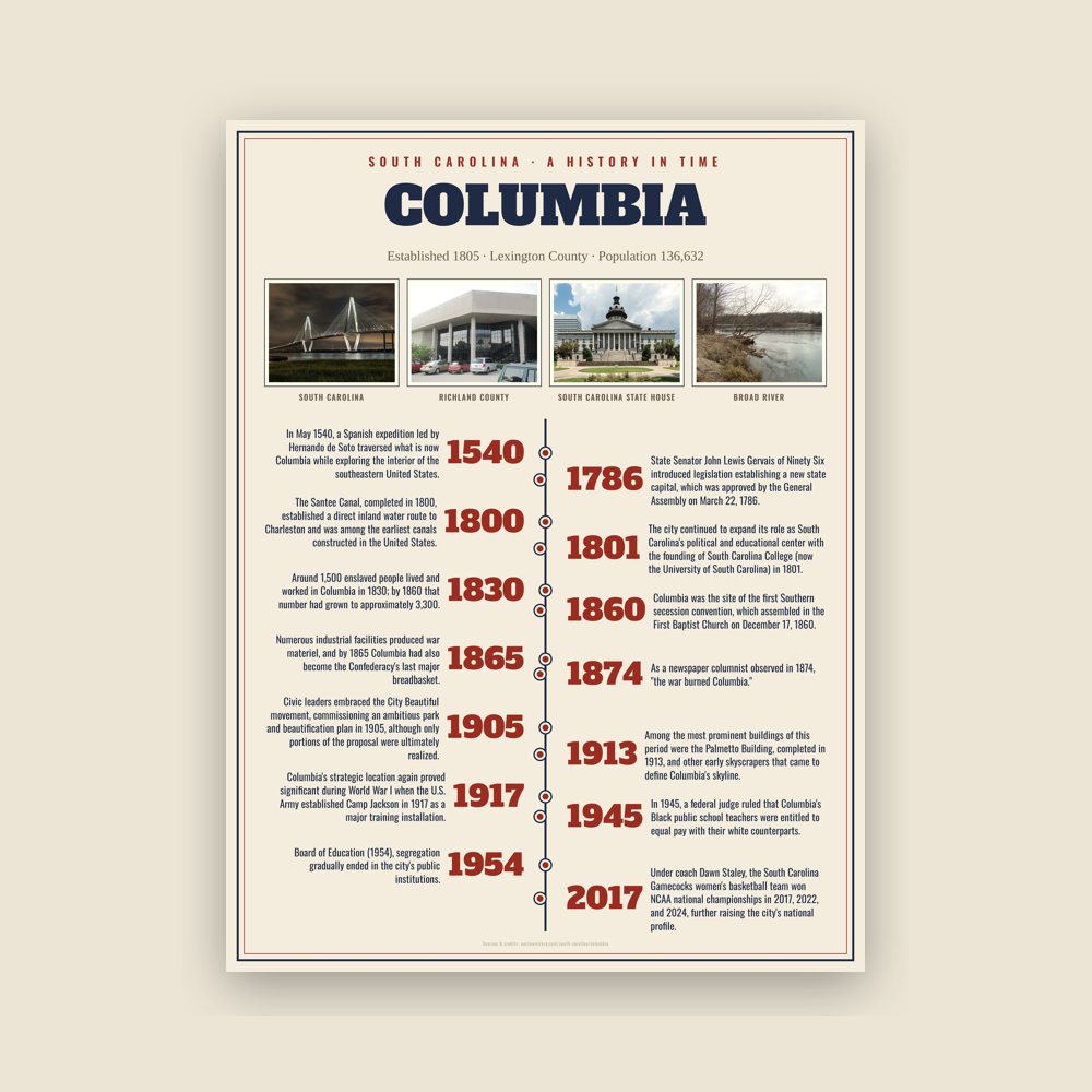
In May 1540, a Spanish expedition led by Hernando de Soto traversed what is now Columbia while exploring the interior of the southeastern United States. The expedition produced the earliest surviving written account of the area, then part of the regional Cofitachequi chiefdom of the Mississippian culture.
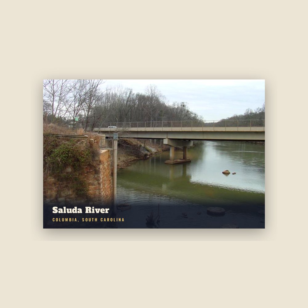
During the colonial era, the Congaree inhabited several villages along the Congaree River, where the Broad and Saluda rivers converge to form the Congaree River. As English settlement expanded into the South Carolina backcountry during the eighteenth century, colonists established Congaree Fort on the river's west bank as a frontier outpost and trading post. In 1754, the colonial government of the Province of South Carolina established a ferry connecting the fort with the growing settlements on the east bank, encouraging further settlement in the surrounding area.
The settlement occupied a strategic location at the fall line, where rivers descending from the Piedmont become difficult to navigate farther upstream. As the head of navigation on the Santee River system and a natural crossing point between South Carolina's coastal and interior regions, the area developed into an important transportation and trading center long before the General Assembly selected the site for the new state capital in 1786.
Read the full history
Founding and early capital
Following the American Revolutionary War, South Carolina leaders sought a more centrally located capital than Charleston. State Senator John Lewis Gervais of Ninety Six introduced legislation establishing a new state capital, which was approved by the General Assembly on March 22, 1786. The site, known as Taylor's Hill, was selected for its central location within the state and its position along the Congaree River at the head of navigation on the Santee River system.
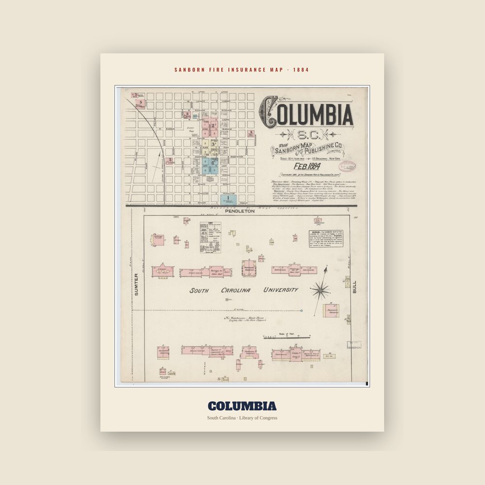
Surveyor John Guignard laid out Columbia as one of the first planned cities in the United States, five years before Pierre Charles L'Enfant's plan for Washington, D.C. The city was organized as a two-mile-square grid of 400 blocks with unusually broad streets and avenues. Assembly and Senate streets were each 150 feet (46 m) wide, while the remaining streets measured 100 feet (30 m). Blocks were divided into half-acre lots that were sold to prospective residents, with commissioners reserving prominent sites for public buildings, including the State House.
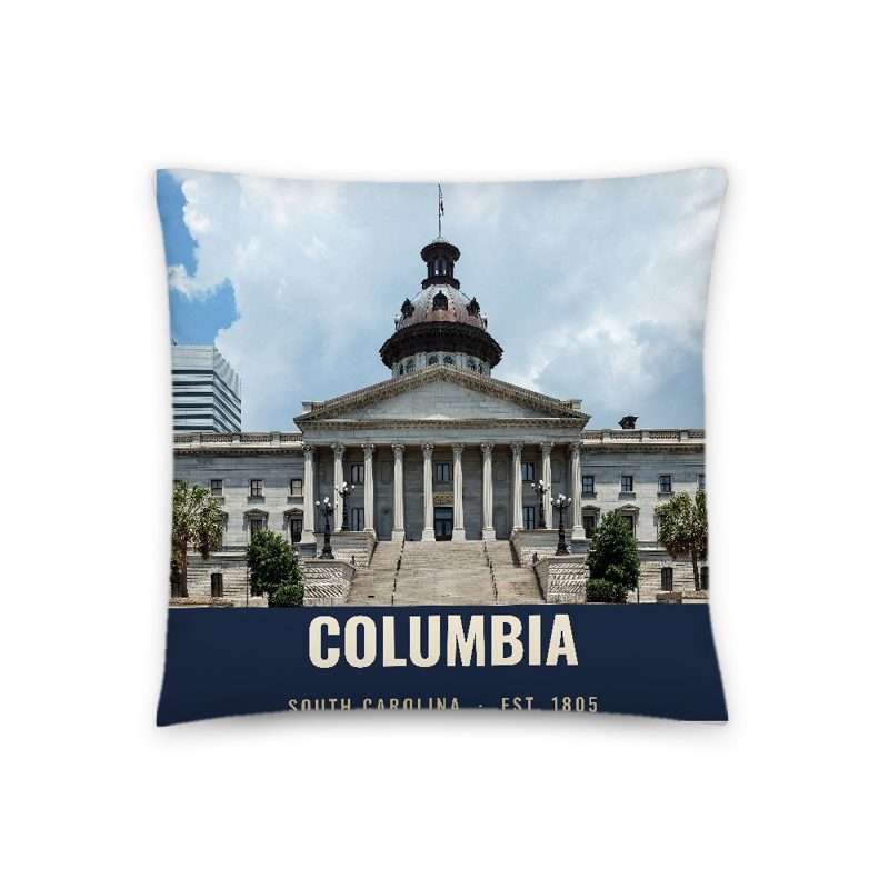
Construction of Columbia's first State House began in 1786, and the General Assembly first met in the new capital in 1790. The city continued to expand its role as South Carolina's political and educational center with the founding of South Carolina College (now the University of South Carolina) in 1801. The college was intended to help unite the state's Upcountry and Lowcountry populations after the Revolution, and for many years its commencement exercises were held while the General Assembly was in session.
Transportation improvements accelerated Columbia's growth during the early nineteenth century. The Santee Canal, completed in 1800, established a direct inland water route to Charleston and was among the earliest canals constructed in the United States. By the 1840s, railroads had largely supplanted canal traffic, transforming Columbia into a transportation hub for central South Carolina and strengthening its commercial connections with regional and national markets.
Columbia was incorporated as a town in 1805, with John Taylor serving as its first elected intendant, and was chartered as a city in 1854. Throughout the antebellum period, Columbia grew steadily as a center of government, commerce, and education. Cotton became the city's principal commodity, with railroads carrying bales to Charleston for export to textile mills in the northeastern United States and Europe. Like much of South Carolina's economy, the city's prosperity depended upon enslaved labor. Around 1,500 enslaved people lived and worked in Columbia in 1830; by 1860 that number had grown to approximately 3,300. Enslaved laborers worked in households, businesses, government institutions, and South Carolina College, where many were hired out by their owners.
Civil War and Reconstruction
Columbia was of considerable importance to the Confederacy during the American Civil War as South Carolina's capital and a center of government, transportation, and military production. Columbia was the site of the first Southern secession convention, which assembled in the First Baptist Church on December 17, 1860. Secession may have been declared in Columbia, were it not for a smallpox outbreak that moved the convention to Charleston, where South Carolina became the first state to secede from the Union on December 20.
A considerable military infrastructure sprang up in Columbia during the war. The state arsenal was located in the city, along with the state military academy, while the University of South Carolina grounds were converted into a military hospital after nearly its entire student body volunteered for the Confederate Army. Numerous industrial facilities produced war materiel, and by 1865 Columbia had also become the Confederacy's last major breadbasket. These factors made it the next target for General William T. Sherman following his successful March to the Sea and capture of Savannah, Georgia.
The Union Army under Sherman captured Columbia on February 17, 1865. Much of the city was destroyed by fire between February 17 and 18. The idea that Sherman deliberately ordered the burning of Columbia has persisted as part of the Lost Cause of the Confederacy narrative; however, modern historians have concluded that no single cause led to the fire and that Sherman did not order the city burned. Rather, retreating Confederates, burning cotton bales, strong winds, and the chaotic conditions following the city's capture combined to create the conditions that allowed the fire to spread. As a newspaper columnist observed in 1874, "the war burned Columbia."
During the Reconstruction era, Columbia became the center of South Carolina's Republican state government. Reporters, journalists, travelers, and tourists flocked to the city to observe a legislature whose members included formerly enslaved African Americans as well as free people of color. The city also began rebuilding from the destruction of 1865; a modest construction boom, together with the repair of railroads serving the city, restored Columbia's commercial district and laid the foundation for its late nineteenth-century industrial growth.
Industrialization and the Progressive Era
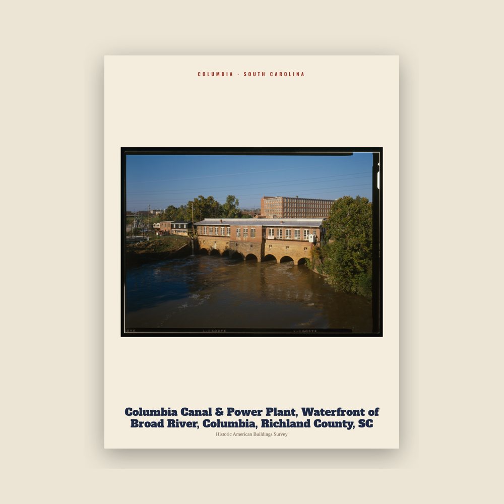
Following Reconstruction, Columbia emerged as the principal commercial and industrial center of the South Carolina Midlands. Completion of the Columbia Canal and expansion of the city's railroad network encouraged the rapid growth of textile manufacturing during the late nineteenth century. By the early twentieth century, mills including Richland, Granby, Olympia, Capital City, Columbia, and Palmetto employed thousands of workers and stimulated the development of surrounding mill villages. Railroads also transformed Columbia into one of the state's principal transportation hubs, linking the city with Charleston and other regional markets.
The city's growth reshaped its built environment. Electric streetcars, introduced in the 1890s, encouraged residential expansion beyond the original city limits while making downtown Columbia the region's commercial center. Civic leaders embraced the City Beautiful movement, commissioning an ambitious park and beautification plan in 1905, although only portions of the proposal were ultimately realized. Revenues generated by manufacturing and trade fueled a construction boom during the early twentieth century, transforming Main Street with new office buildings, hotels, banks, and department stores.
Among the most prominent buildings of this period were the Palmetto Building, completed in 1913, and other early skyscrapers that came to define Columbia's skyline. The city also expanded its civic institutions, including hospitals, schools, and government buildings, reflecting its growing role as South Carolina's political, educational, and commercial center.
Columbia's strategic location again proved significant during World War I when the U.S. Army established Camp Jackson in 1917 as a major training installation. The camp brought thousands of soldiers and civilians to the area and remained an important part of the local economy after its reactivation as Fort Jackson in 1940, shortly before the United States entered World War II. During the war, Lieutenant Colonel Jimmy Doolittle and his crews trained for the Doolittle Raid at what is now Columbia Metropolitan Airport.
Postwar transformation
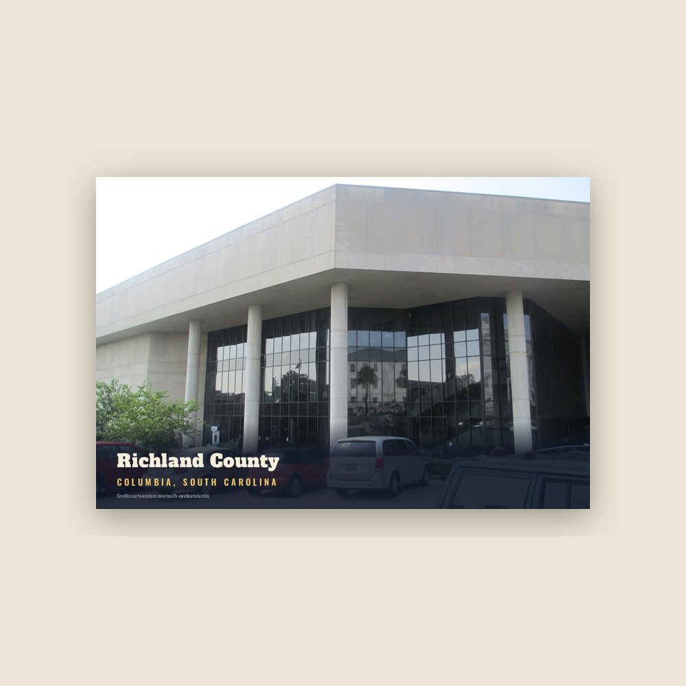
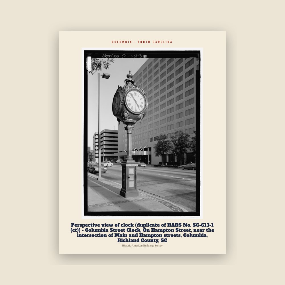
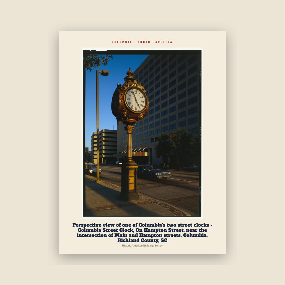
Following World War II, Columbia experienced rapid suburban growth and significant changes to its built environment. New residential neighborhoods, commercial centers, and highways shifted development away from the historic downtown, while urban renewal projects replaced many older commercial and residential buildings with modern office complexes, government facilities, parking structures, and widened streets. Modernist architecture became increasingly prominent throughout the city, particularly around the University of South Carolina, the State House complex, and the central business district.
The postwar period also brought major advances in the Civil rights movement. During the 1940s African Americans increased activism for their civil rights, seeking to reverse Jim Crow laws and racial discrimination that relegated them to second-class status. In 1945, a federal judge ruled that Columbia's Black public school teachers were entitled to equal pay with their white counterparts. Following the U.S. Supreme Court's decision in Brown v. Board of Education (1954), segregation gradually ended in the city's public institutions. On August 21, 1962, eight downtown chain stores served Black customers at their lunch counters for the first time, and the University of South Carolina admitted its first Black students the following year. Around the same time, African Americans gained membership on municipal boards and commissions, and the city adopted nondiscriminatory hiring policies. These developments helped earn Columbia its second All-America City Award in 1964 (the first came in 1951). A 1965 article in Newsweek described Columbia as having "liberated itself from the plague of doctrinal apartheid".
The construction of Interstate 26, Interstate 20, and Interstate 77, together with continued suburban expansion, reinforced Columbia's role as the Midlands' transportation hub while accelerating the decentralization of commerce and population from the historic downtown.
Beginning in the late 1960s, historic preservation became an important civic priority. The restoration of the Robert Mills House in 1967 inspired the preservation of other historic landmarks, including the Hampton-Preston House, the Woodrow Wilson Boyhood Home, and the Mann–Simons Site. During the early 1970s, the University of South Carolina restored the Horseshoe, while institutions including the South Carolina State Museum, which opened in 1988, reflected a growing public interest in preserving and interpreting Columbia's history.
Downtown revitalization and the twenty-first century
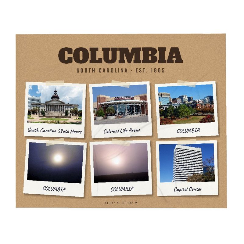
Beginning in the 1980s, Columbia undertook major efforts to reverse decades of suburbanization and revitalize its downtown. Under Mayor Kirkman Finlay Jr., Seaboard Park was redeveloped as Finlay Park, while the $60 million Palmetto Center project introduced new office space, parking facilities, and the Columbia Marriott hotel. New high-rise construction, including Tower at 1301 Gervais (1973), Hub at Columbia (1983), Capitol Center (1987), and Bank of America Plaza (1989), reshaped the city's skyline and marked the beginning of a broader period of downtown reinvestment.
During the 1990s and early 2000s, redevelopment accelerated as the former warehouse district along Gervais Street was transformed into the Congaree Vista, now a center of restaurants, galleries, shops, entertainment, and residential development. New civic projects—including the Colonial Life Arena (2002), EdVenture children's museum (2003), and the Columbia Metropolitan Convention Center (2004)—reinforced downtown as the cultural and convention center of the Midlands. The City Center Partnership, formed to coordinate public and private investment, further encouraged downtown growth, while the completion of the Tower at Main and Gervais in 2009 added the city's first new skyscraper in two decades.
Investment also expanded toward the Congaree River through improvements to Riverfront Park, expansion of trails and public spaces, and continued redevelopment of former industrial areas. Together with the revitalization of the Vista, these projects helped reconnect downtown with the river and encouraged new residential, commercial, and recreational development.
The University of South Carolina remained a major driver of Columbia's identity and economy during the early twenty-first century. Founders Park opened in 2009, while the South Carolina Gamecocks baseball team won consecutive NCAA national championships in 2010 and 2011. Under coach Dawn Staley, the South Carolina Gamecocks women's basketball team won NCAA national championships in 2017, 2022, and 2024, further raising the city's national profile.
In 2010, Stephen K. Benjamin became Columbia's first African American mayor, serving until 2022. Historic flooding in October 2015 caused widespread damage throughout the Columbia metropolitan area and disrupted the University of South Carolina, forcing the Gamecocks football team to relocate a home game. That same year, the Confederate battle flag was permanently removed from the South Carolina State House grounds following the Charleston church shooting.
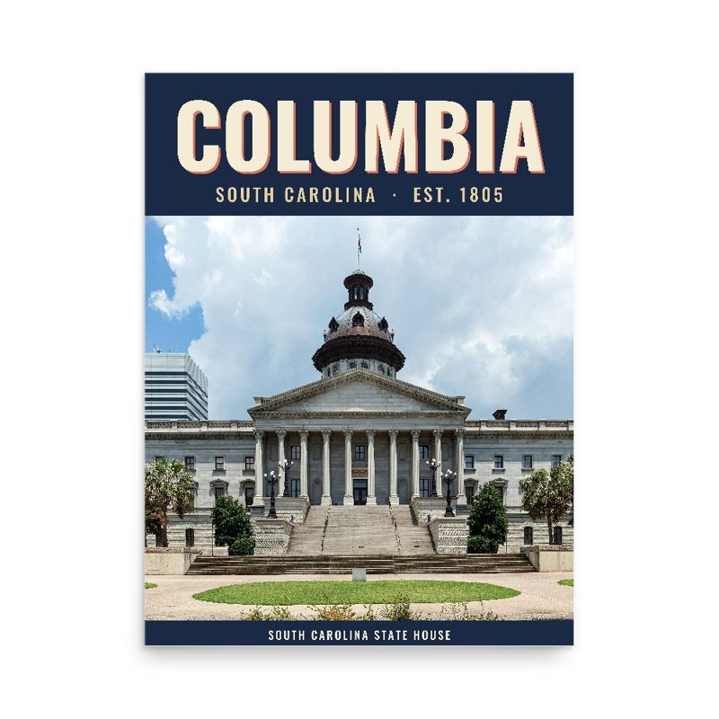
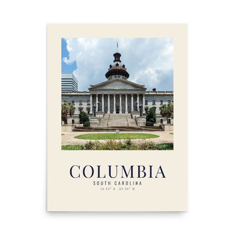
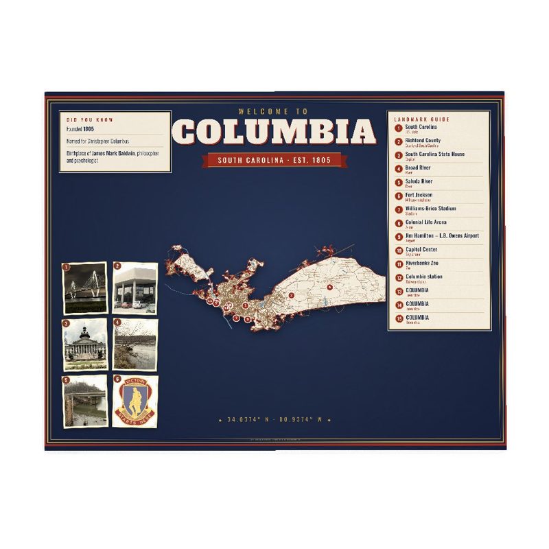










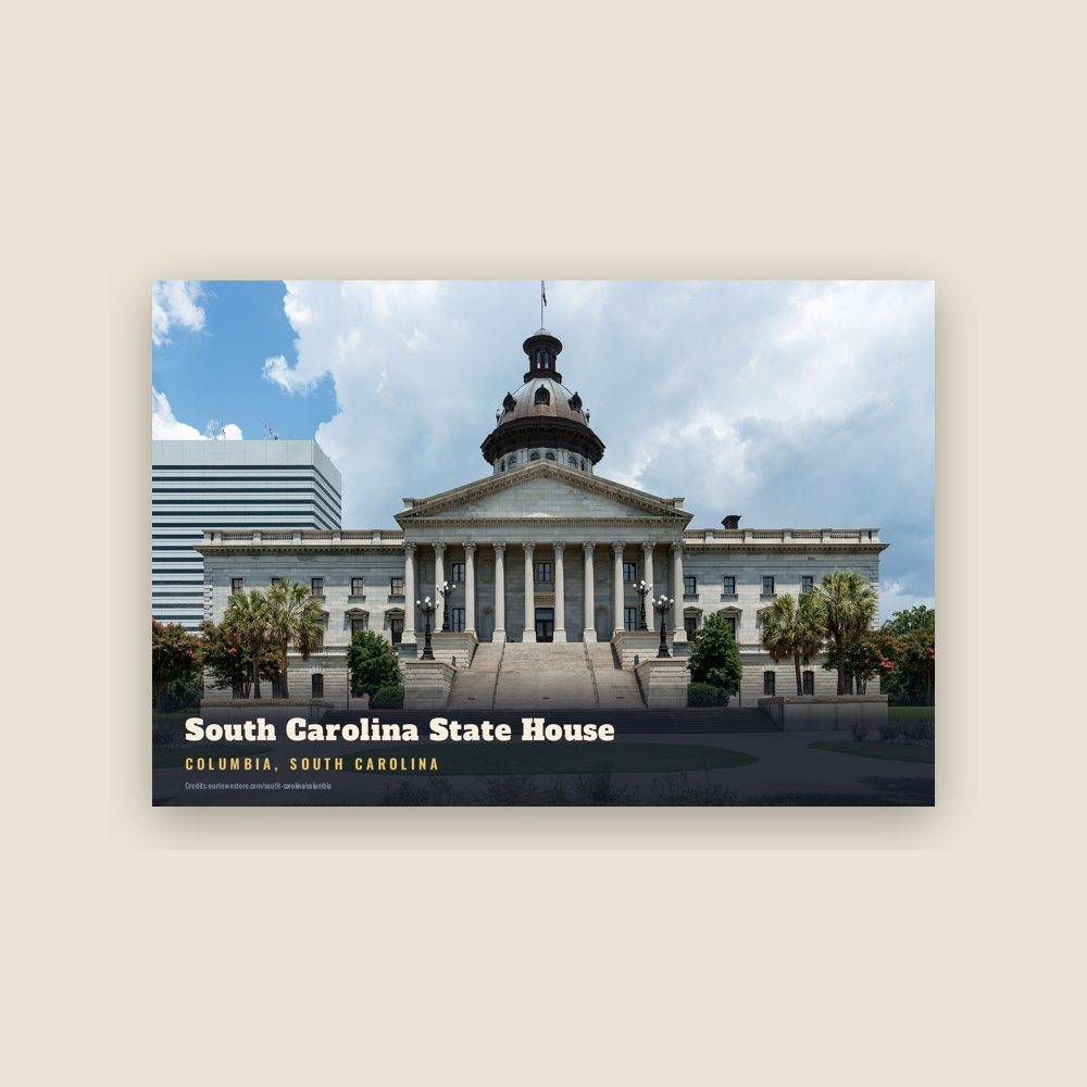

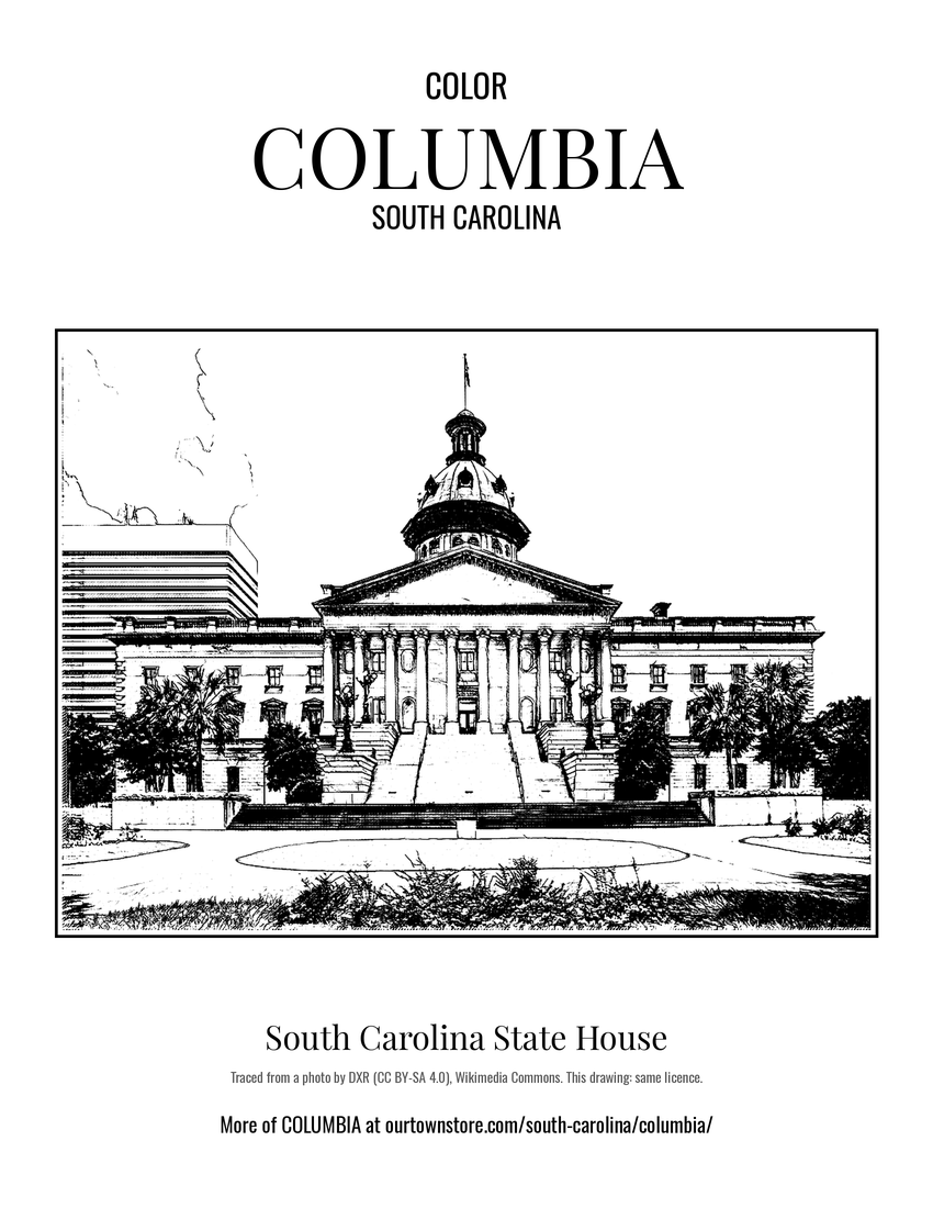 South Carolina State House
 South Carolina
 Richland County
 Broad River