The area known as Marvin today was settled and inhabited by elements of the Waxhaw Indian tribe, who lived near the present day border between North Carolina and South Carolina.
- CountyUnion County
- Population6,358 (2020 U.S. Census)
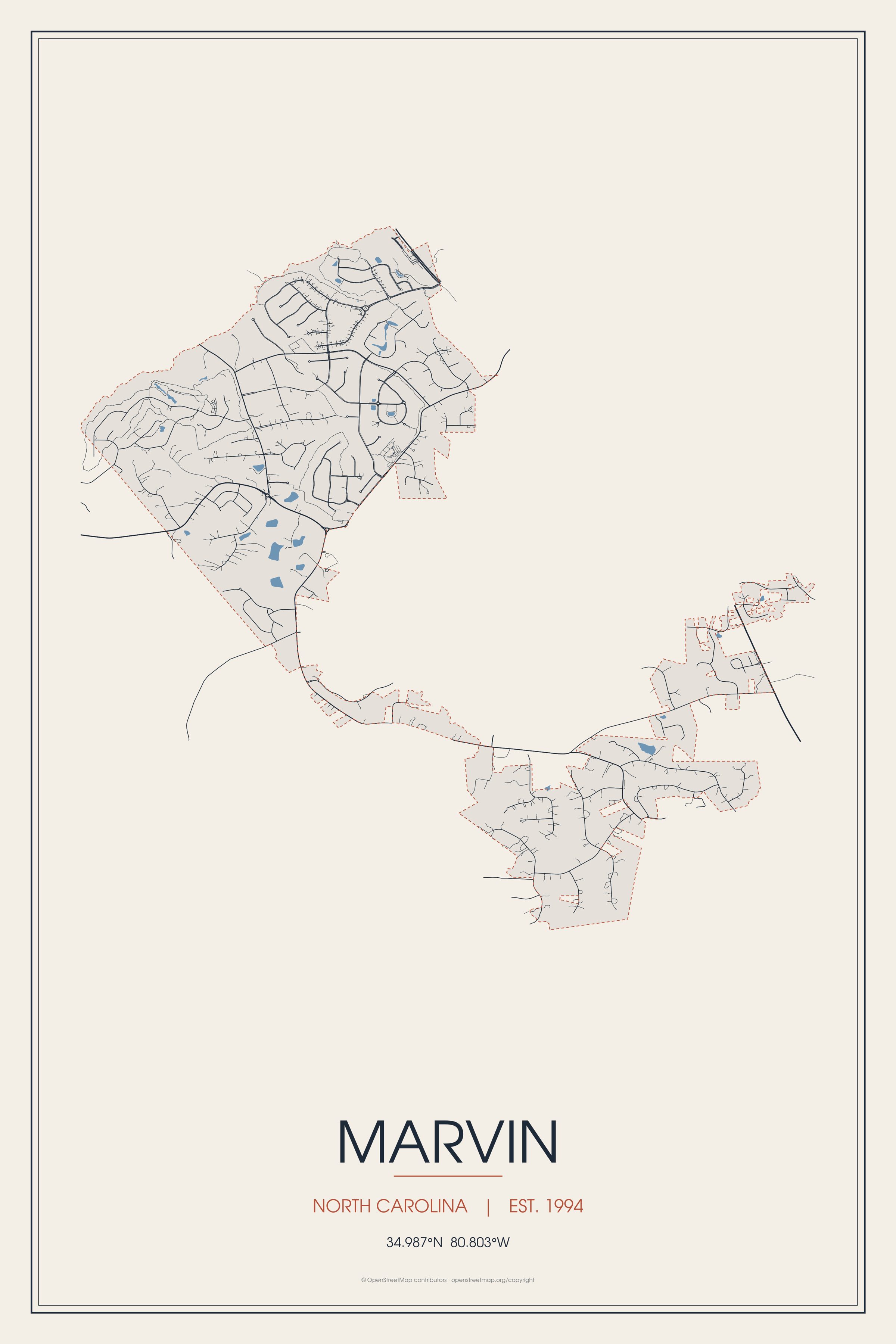
The area known as Marvin today was settled and inhabited by elements of the Waxhaw Indian tribe, who lived near the present day border between North Carolina and South Carolina.
Marvin, North Carolina gifts and souvenirs: 18 designs made from Marvin's own map, landmarks and history, from $16 to $95. Printed to order and shipped free in the USA.
| Popular | Price |
|---|---|
| Marvin Hometown Ornament | $23 |
| Marvin Varsity Crewneck | from $57 |
| Marvin Est. Tee | from $33 |
| Marvin Town Line Mug | from $26 |
| Marvin Market Tote | $37 |

Ceramic keepsake, gold ribbon, in 3 styles

The town's story in dates, from its own records, for home or classroom

Map of local landmarks, washable fabric

Heavy-blend fleece, street map printed on the back

Red heavy-blend crewneck, knit-stitch town print
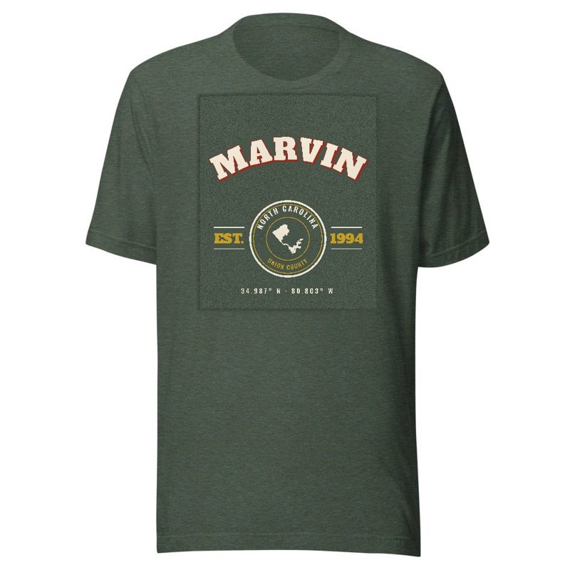
Soft Bella+Canvas jersey

Kids' Bella+Canvas jersey, youth sizes

Bella+Canvas toddler jersey

Bella+Canvas baby bodysuit
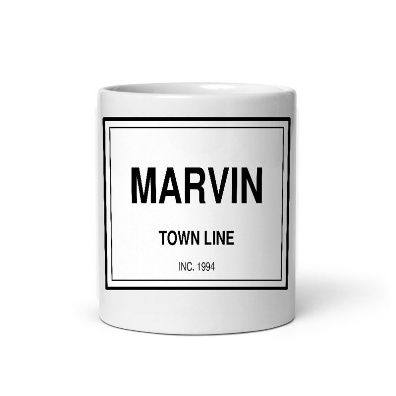
Glossy ceramic, dishwasher safe

Weatherproof, for the front walk

24″×16″, printed coir-look fibers, rubber back

12″×12″ printed wood, ready to hang

Soft-touch, zip cover

Sturdy all-over-print tote
Glossy top, cork back

Soft fleece, 50″×60″

20 oz, double-wall stainless
The area known as Marvin today was settled and inhabited by elements of the Waxhaw Indian tribe, who lived near the present day border between North Carolina and South Carolina. The Waxhaw gained their name from the type of waxy reed which grew near the swamps of the Waxhaw forests.
On October 30, 1629, King Charles I of England granted the establishment of the Colony of Carolina under the governance of Sir Robert Heath. This sparked the development of the Carolina colonies which resulted in several explorations down the Great Trading Path which ran from Augusta through Charlotte and towards Petersburg, Virginia.
In 1700, John Lawson, Surveyor-General of the Colony of North Carolina made first contact with the Waxhaw Indians, and the native land of Marvin. He noted that "the land was being so fertile that no labor of man in one or two ages could make it poor." Lawsons thoughts about the land were confirmed 300 years later with numerous farms scattered around the Marvin area, giving its semi-rural suburban atmosphere. In 1741, an epidemic of smallpox was introduced into the community, and many of the Indians were killed or were forced to abandon the area. Settlers began to exploit the fertile land to grow crops such as soy and tobacco.
German, English, Welch, and Scottish families, some of whom were escaping turmoil in Europe such as the 7 years war and the Jacobite rising of 1745.
Until 1842, Marvin was an unincorporated section of Anson county, until the schism between Mecklenburg - Anson counties, which resulted in the creation of Union county, and thus the incorporation of Marvin. Most settlers of Marvin owned slaves and would pass inheritance to their children. It would not be until the end of the Civil War that slavery was ended in Marvin. Most local slaves were purchased in Charleston, SC. Old Steel Creek road was used as a transport of slaved cotton, which was destroyed by General Cornwallis during the American Revolutionary war, and currently is the site of Highway 521.
Although sources are scarce, it is believed that Henry Downs was one of the original signatories of the "Mecklenburg Declaration of Independence", which was destroyed in a fire in 1800, and published just one month after the events at Lexington and Concord.
In 1777, North Carolina began issuing land grants to those who served in the American revolution. Around 640 acres of land were distributed through this land grant system. It is believed that the Crane road was where Francis Carter, one of the first settlers of the Marvin area, lived and managed the distribution of crown grants. A few of the oldest families in the Carolinas held kings’ grants from those distributed by Francis Carter, but most had come down the Great Trading Path from the North, such as the Polk family, and President James K. Polk, along with the Jackson family, and President Andrew Jackson, born near Marvin.
Maggie Ross, one of the richest women in Union County had a scandal regarding the distribution between her will and her family members. After her sister, Sallie Ross, died in 1909, her estate was bequeathed to Bob Ross, who were African American. This sparked one of the largest civil rights feuds in the county due to racial prejudice in the local Union county municipal courts. Later, this racial tension would culminate in the Kissing Case, taking place in Monroe.
Marvin was founded on July 1, 1994. According to Ruth B. Ezzell, the major Marvin principles for foundation were "the hardships, the sacrifices made by our forefathers, their determination to lay principles as foundations for future generations, how they fought in wars for freedom and liberty, we may be inspired to a greater loyalty and appreciation of our community".
Marvin has experienced numerous demographic changes, such as an increase of Asian-Americans who have migrated to the town during the early 2000's. Marvin is geographically located near Charlotte, and is incorporated as an official suburb of Charlotte, and the major shift in population can be attributed towards the large banking Industry of Charlotte, NC, which has grown due to the introduction of Bank of America which was finalized around 1992.
Adapted (trimmed) from the Wikipedia article Marvin, North Carolina, revision 1378559119 by its contributors, licensed CC BY-SA 4.0.
We share a part of every Marvin sale with local partners, and we'd love to print from your collection. Old photographs, maps and postcards make the best keepsakes.
Partner with usA favorite landmark, your street, a school or team, an anniversary gift, a different product. Tell us and we'll get back to you by email.
Marvin's population was 6,358 in the 2020 U.S. Census, up from 5,579 in 2010.