The city was formed from most of the former Streetsboro Township of the Connecticut Western Reserve. Landmarks include Moran, Ohio. Streetsboro is the birthplace of F. A. Wing, politician.
- CountyPortage County
- Population17,260 (2020 U.S. Census)
The city was formed from most of the former Streetsboro Township of the Connecticut Western Reserve. Landmarks include Moran, Ohio. Streetsboro is the birthplace of F. A. Wing, politician.
Streetsboro, Ohio gifts and souvenirs: 32 designs made from Streetsboro's own map, landmarks and history, from $10 to $99. Printed to order and shipped free in the USA.
| Popular | Price |
|---|---|
| Streetsboro Hometown Ornament | $23 |
| Streetsboro Vintage Travel Poster | from $40 |
| Streetsboro Varsity Crewneck | from $57 |
| Streetsboro Est. Tee | from $33 |
| Streetsboro Town Line Mug | from $26 |
| Streetsboro Market Tote | $37 |
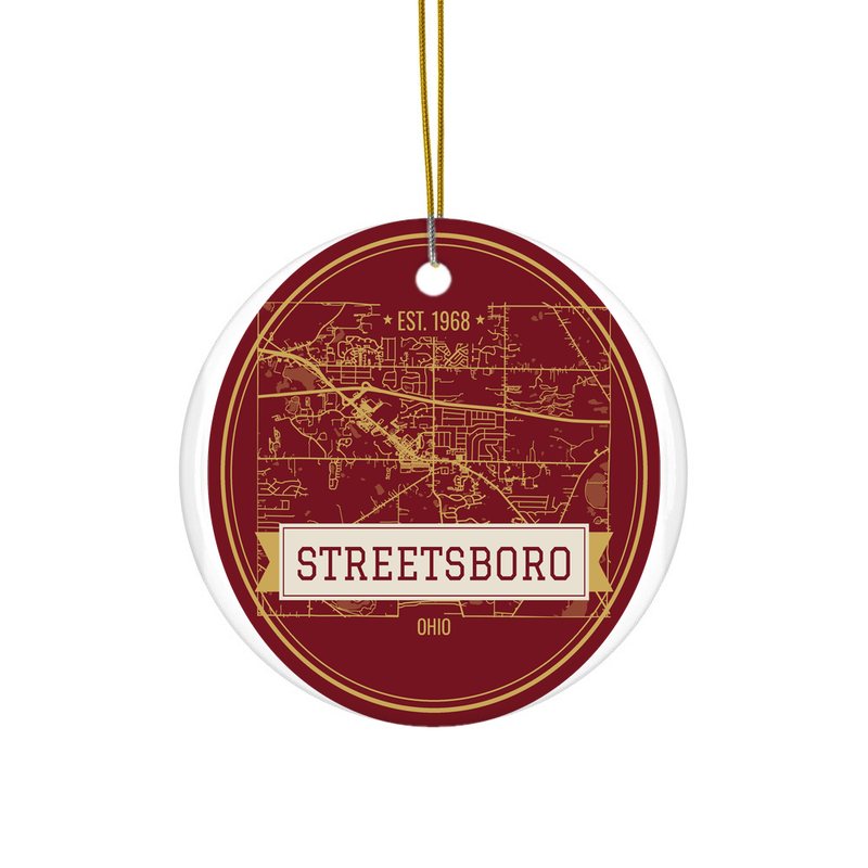
Ceramic keepsake, gold ribbon, in 4 styles

Its landmark photo in a classic travel-poster layout
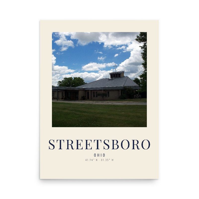
A local landmark photo as a gallery print
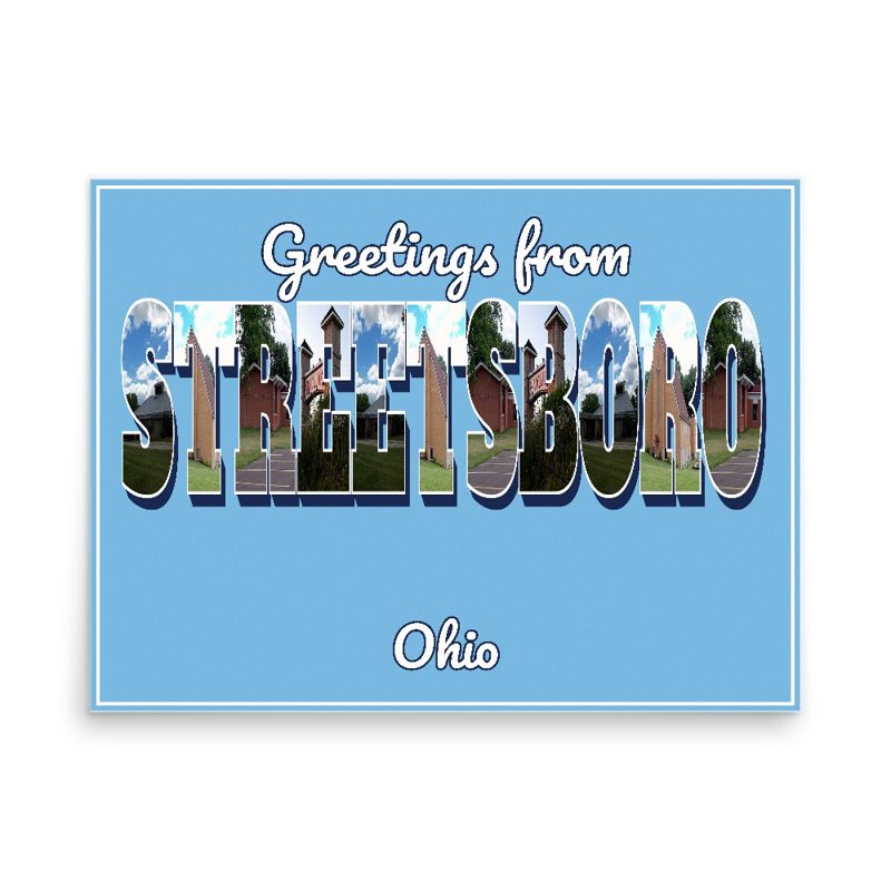
Classic large-letter postcard art, filled with local photos

Six local landmarks as instant photos on kraft paper
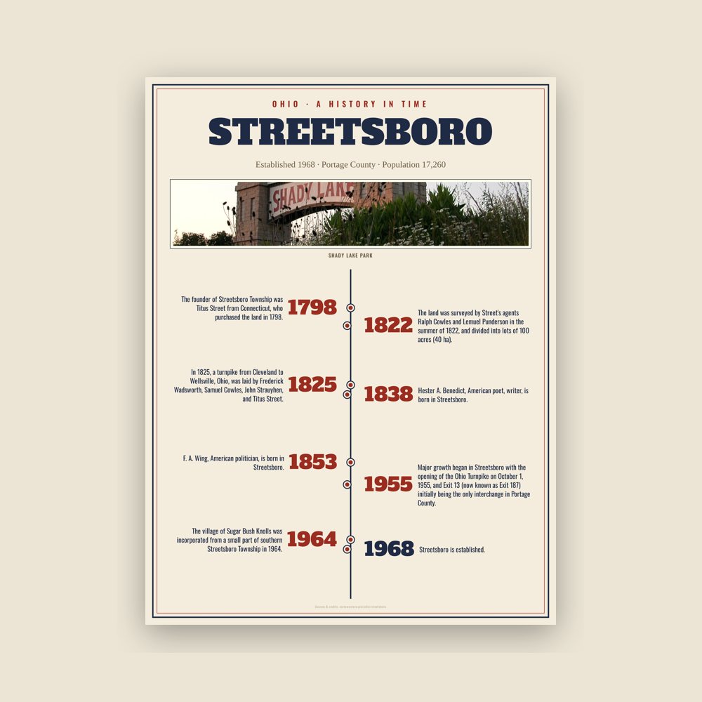
The town's story in dates, from its own records, for home or classroom
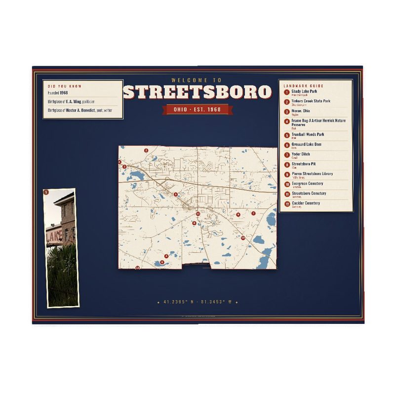
Map of local landmarks, washable fabric
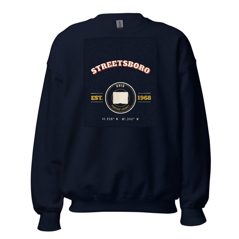
Heavy-blend fleece, street map printed on the back
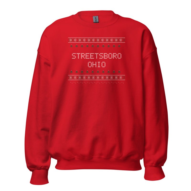
Red heavy-blend crewneck, knit-stitch town print
Soft Bella+Canvas jersey
Kids' Bella+Canvas jersey, youth sizes
Bella+Canvas toddler jersey

Bella+Canvas baby bodysuit
Large-letter postcard art filled with local photos
Glossy ceramic, dishwasher safe
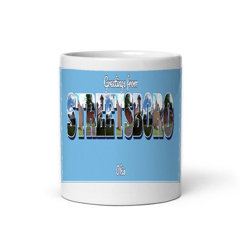
Large-letter postcard art filled with local photos, 11 oz ceramic
Weatherproof, for the front walk
24″×16″, printed coir-look fibers, rubber back

12″×12″ printed wood, ready to hang
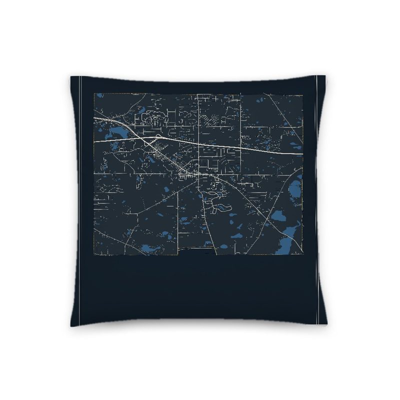
Soft-touch, zip cover

A local landmark photo with the town name, 18″×18″
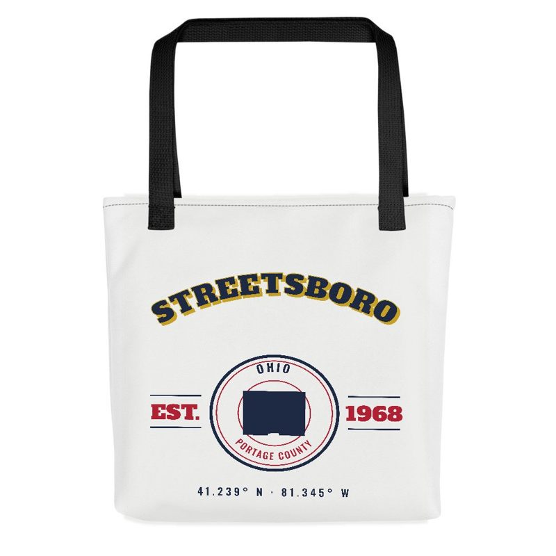
Sturdy all-over-print tote
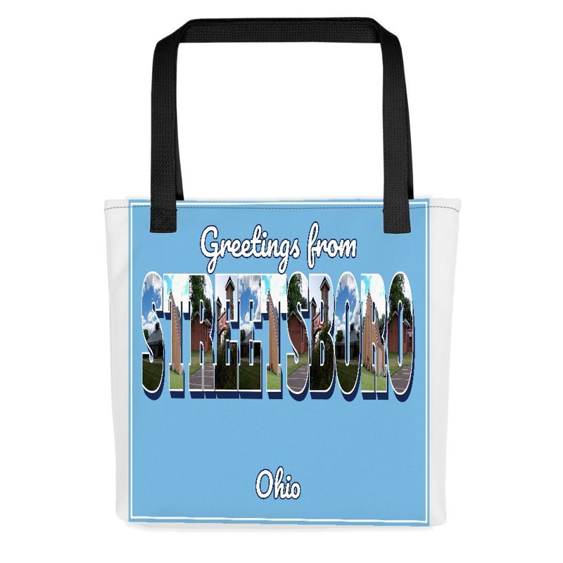
Large-letter postcard art on a sturdy tote

Foam-front trucker, printed (not embroidered) with local photos
Glossy top, cork back
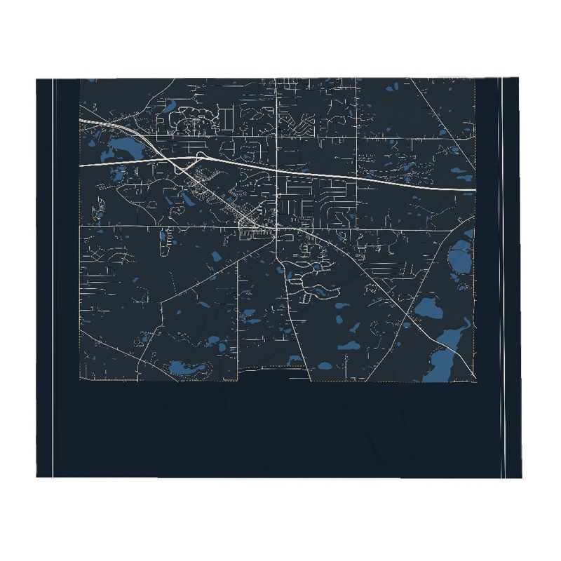
Soft fleece, 50″×60″

Six local landmarks as instant photos, soft fleece 50″×60″

20 oz, double-wall stainless
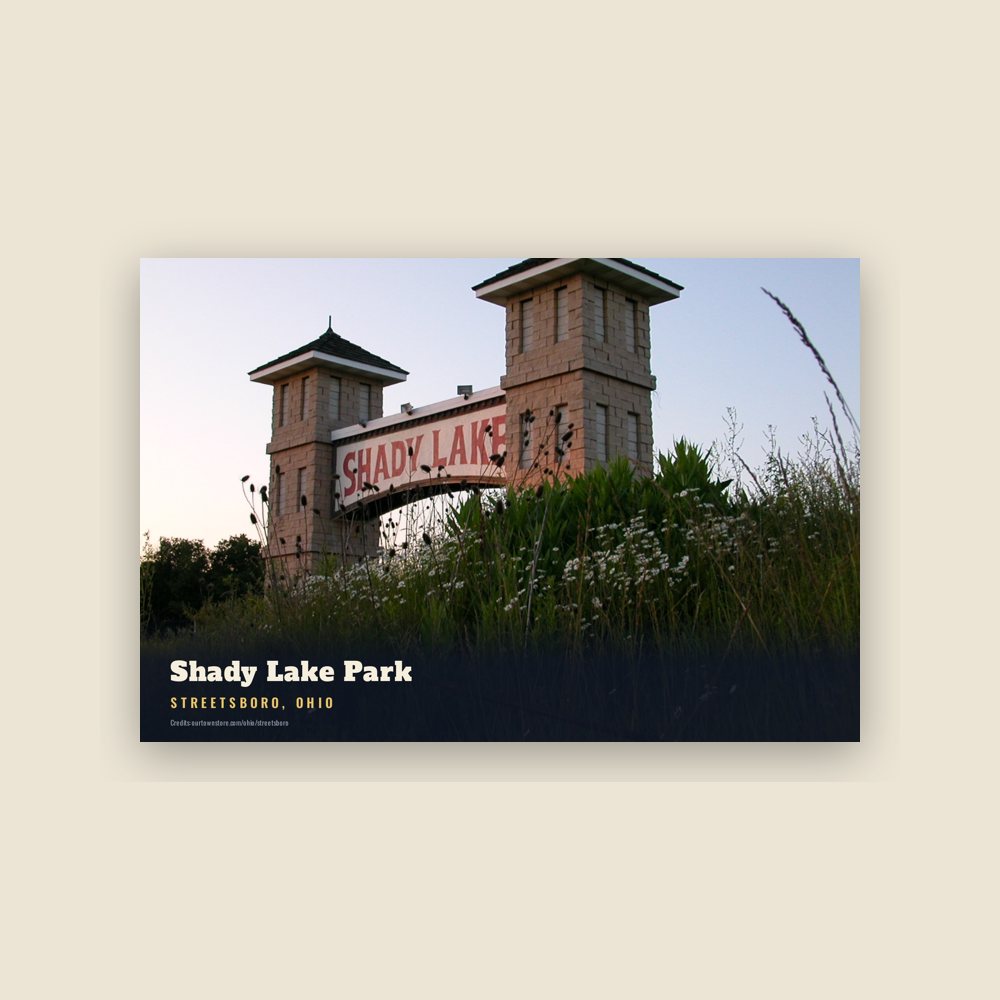
6″×4″ postcard, glossy front
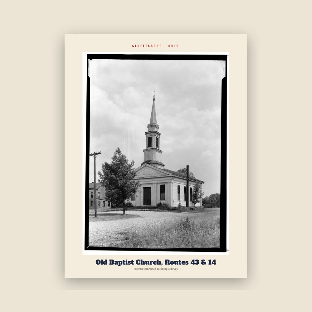
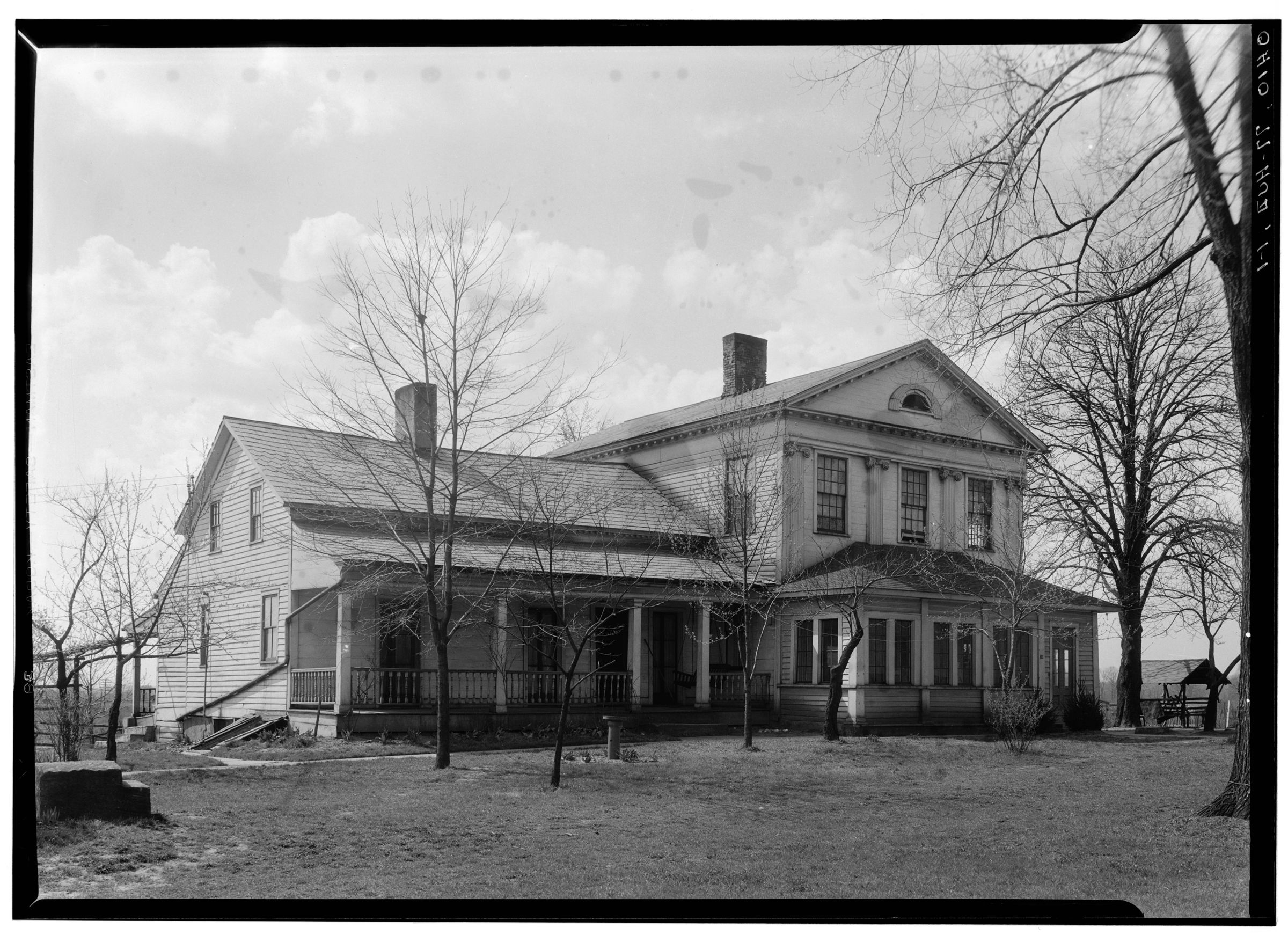
From the Library of Congress collections: a historic survey drawing or photograph of the town
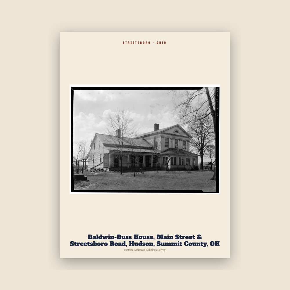
From the Library of Congress collections: a historic survey drawing or photograph of the town
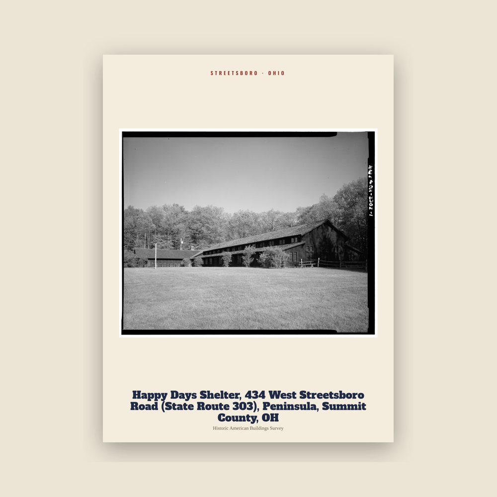
From the Library of Congress collections: a historic survey drawing or photograph of the town
Long before settlers moved into the Connecticut Western Reserve, Seneca Indians traversed the area now called Streetsboro. They used Old Portage Trail, which crosses the southwest corner of the city, to go from Lake Erie to the Ohio River basin.
The founder of Streetsboro Township was Titus Street from Connecticut, who purchased the land in 1798. Streetsboro Township was 25 square miles (65 km2) and contained 15,279 acres (6,183 ha). The land was surveyed by Street's agents Ralph Cowles and Lemuel Punderson in the summer of 1822, and divided into lots of 100 acres (40 ha).
In 1825, a turnpike from Cleveland to Wellsville, Ohio, was laid by Frederick Wadsworth, Samuel Cowles, John Strauyhen, and Titus Street. Street agreed to give enough land to make it through the township. In 1827, the turnpike was completed. It followed much of the route of the present Ohio State Route 14.
Major growth began in Streetsboro with the opening of the Ohio Turnpike on October 1, 1955, and Exit 13 (now known as Exit 187) initially being the only interchange in Portage County. By 1957, with the growth of the automobile industry, Streetsboro experienced significant population growth, from just over 1,100 residents in 1950 to nearly 6,800 by 1960 and nearly 8,000 by 1970. Proximity to the Akron and Cleveland areas, along with direct access to Interstate 80 (Ohio Turnpike), Interstate 480, and State Routes 303, 43, and 14, have greatly contributed to the rapid growth of manufacturing, distribution, and commercial and residential development over the years. Streetsboro was primarily a farming community until 1970; it also was home to a small amusement park, Shady Lake Park, located on Route 14, which is now an apartment complex of the same name.
The village of Sugar Bush Knolls was incorporated from a small part of southern Streetsboro Township in 1964. Four years later, in 1968, Streetsboro voters decided to incorporate the remaining 24.33 sq mi (63.0 km2) township as a village. Under Ohio law, a township that incorporates with less than 25,000 residents is classified as a village. Because it was already above 5,000 residents, the minimum population in Ohio for a village to become a city, Streetsboro officially became a city in 1971, once the 1970 US Census numbers were official.
Adapted (trimmed) from the Wikipedia article Streetsboro, Ohio, revision 1376926297 by its contributors, licensed CC BY-SA 4.0.
We share a part of every Streetsboro sale with local partners, and we'd love to print from your collection. Old photographs, maps and postcards make the best keepsakes.
Partner with usA favorite landmark, your street, a school or team, an anniversary gift, a different product. Tell us and we'll get back to you by email.
4 free coloring pages of Streetsboro, each traced from a photo of a local landmark. Print them at home, at school or for story hour.
Streetsboro's population was 17,260 in the 2020 U.S. Census, up from 16,028 in 2010.
 Shady Lake Park
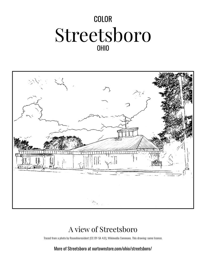 A view of Streetsboro
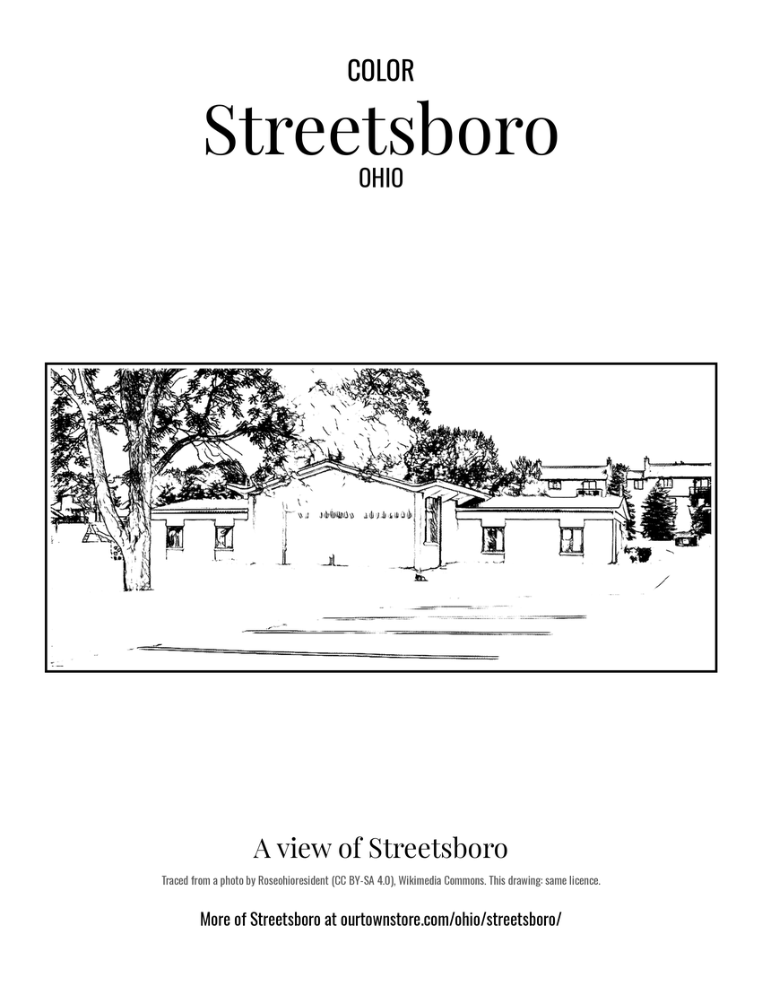 A view of Streetsboro
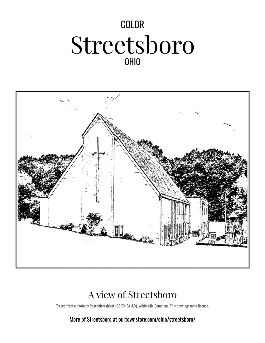 A view of Streetsboro