The earliest known inhabitants of the region were the Waccamaw, a Native American tribe that lived along rivers such as the Cape Fear. Following the removal of native tribes in the region during the Tuscarora and Yamasee wars, the North Carolina General Assembly established Bladen Precinct (later Bladen County) in 1734 to govern the land west of New Hanover Precinct. The newly formed county soon experienced an influx of Highland Scots immigrants, who were encouraged to settle the region by Royal Governor Gabriel Johnston through multi-year tax exemptions. The Scottish constructed small farms and homes along the river basins, harvesting and trading naval stores such as pine tar and turpentine using the river. A courthouse was built in 1738 in a settlement named Elizabeth, located 3.5 miles (5.6 km) upstream from the modern town, surrounded by farms and plantations. A fire in the late 1760s destroyed Elizabeth and its courthouse, along with its records, forcing landowners to re-record any lost documents and leaving the county's earliest archives permanently out of order.
After the destruction of Elizabeth, the settlement shifted downstream to a series of high bluffs on the Cape Fear's west bank. In November 1773, the North Carolina General Assembly officially chartered the settlement as "Elizabethtown" on a 100-acre (40 ha) tract of land transferred from Isaac Jones, who operated a ferry crossing in the area. The act—"An Act for establishing a Town on the Land of Isaac Jones"—entrusted the land to a board of five appointed directors and trustees: Walter Gibson, William Salter, James White, James Bailey, and Benjamin Humphrey. The trustees divided the tract into a grid consisting of 120 half-acre lots, which were sold to the public for 40 shillings per lot. The charter also mandated that three acres of the tract be set aside for public civic infrastructure, including a new Bladen County courthouse, gaol (jail), and workhouse. However, the outbreak of the American Revolution would delay construction for over a decade.
Read the full history
Etymology
Revolutionary War
During the American Revolutionary War, the Cape Fear region saw many skirmishes between local Patriot (Whigs) and Loyalist (Tories) forces. After seizing control of Wilmington in 1781, Loyalist forces began to drive out local Patriots from their homes across the Cape Fear region. Sallie Salter, wife of William Saltar, entered the Loyalist garrison in Elizabethtown under the guise of selling eggs. She brought crucial information about the encampment back to the Patriots, allowing them to plan an attack. On the night of August 27, 1781, a group of roughly 60 Patriot militiamen launched a surprise attack on the garrison, forcing over 300 Loyalists to retreat into a deep ravine near the riverbank, known today as "Tory Hole." The Patriot victory marked the end of Loyalist control of the region, allowing the town to stabilize and grow after the war.
The battlefield has since been preserved as Tory Hole Park and features a small amphitheater, playground, and fitness trails. It frequently hosts local historical commemorations and living history reenactments.
19th Century
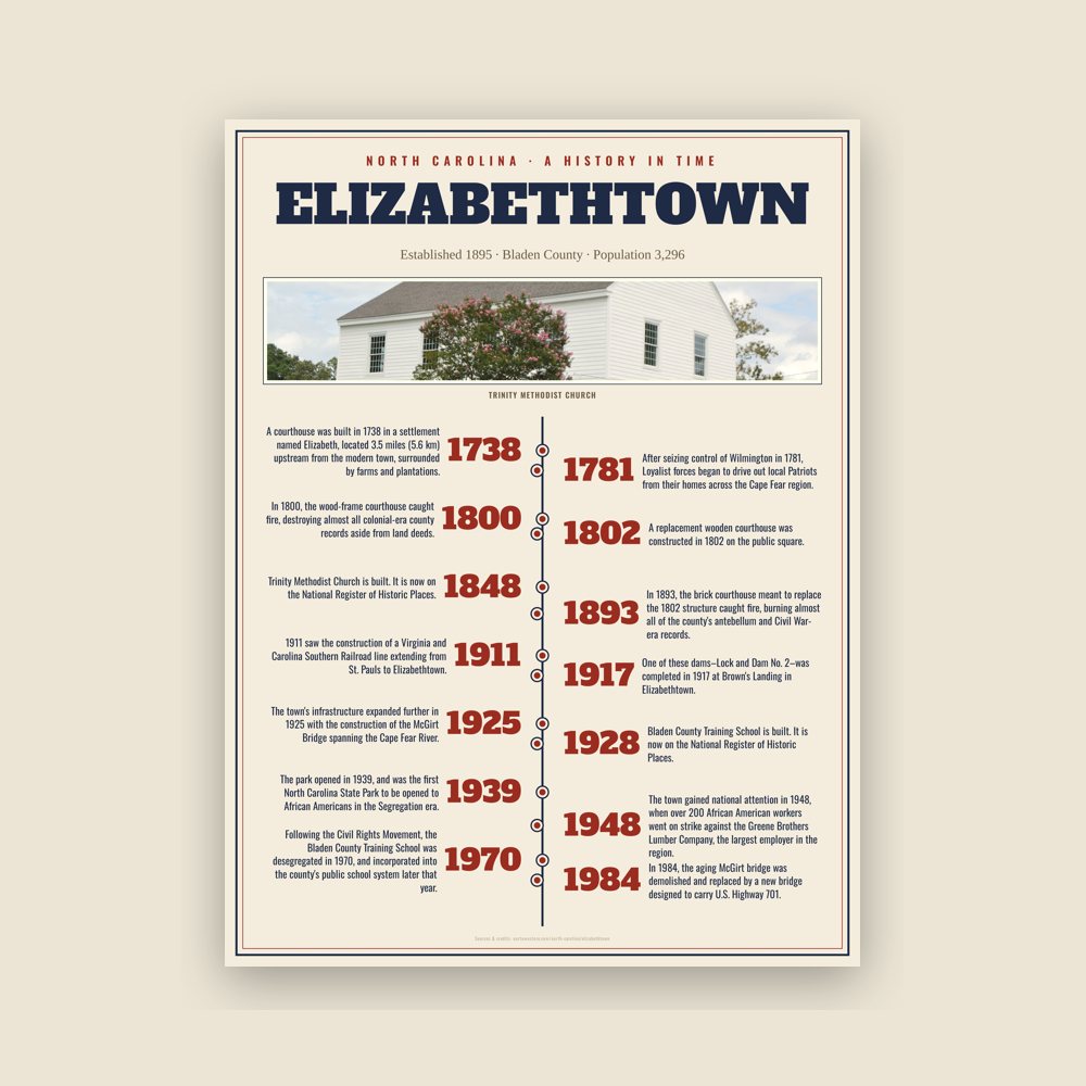
In 1800, the wood-frame courthouse caught fire, destroying almost all colonial-era county records aside from land deeds. A replacement wooden courthouse was constructed in 1802 on the public square. In the antebellum era, Elizabethtown developed into a small agricultural port along the Cape Fear River shipping route. Steamboat traffic between Wilmington and Fayetteville allowed local merchants and plantation owners to export agricultural goods and naval stores to nearby cities. To facilitate trade, several private river landings, docks, and warehouses were constructed along the town's bluffs, making the waterfront the center of local commerce.
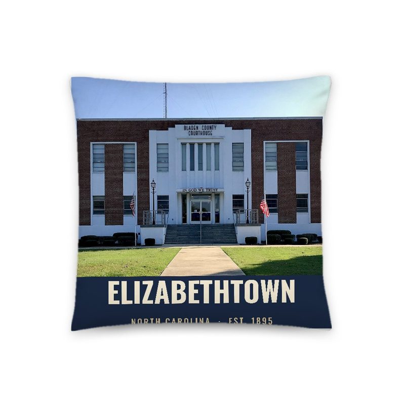
In the American Civil War, Elizabethtown remained isolated from military engagements and campaigns, though hundreds of men from the area would serve the Confederacy across the East Coast. In the Reconstruction era, new railroads were built in southern Bladen County, going through the towns of Abbottsburg, Bladenboro, Clarkton, and Council. The railroads redirected much of the region's economic growth away from Elizabethtown and more toward the county's southern border. In 1893, the brick courthouse meant to replace the 1802 structure caught fire, burning almost all of the county's antebellum and Civil War-era records. A replacement courthouse was built the following year. It was enlarged and eventually demolished in 1925, and the current courthouse was built in its place in 1965. Because the courthouse fires resulted in the repeated loss of public records, a permanent archival gap significantly limits the availability of sources for the town's early history.
20th Century
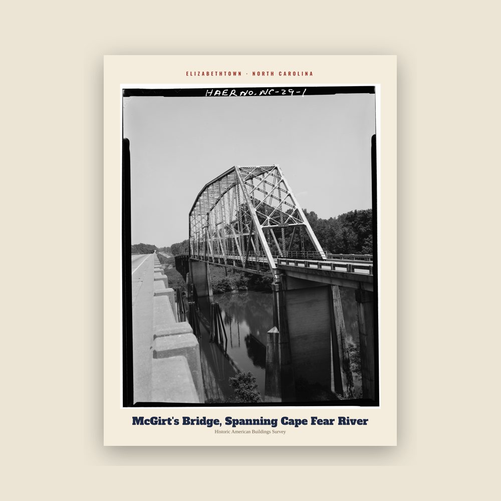
1911 saw the construction of a Virginia and Carolina Southern Railroad line extending from St. Pauls to Elizabethtown. In the early 1900s, the US Army Corps of Engineers constructed three locks and dams between Fayetteville and Navassa with the goal of keeping the river navigable for commercial ships year-round. One of these dams–Lock and Dam No. 2–was completed in 1917 at Brown's Landing in Elizabethtown. The town's infrastructure expanded further in 1925 with the construction of the McGirt Bridge spanning the Cape Fear River. The new bridge, which replaced the old ferry crossing, completed a vital missing link in the state's north-south highway system. The McGirt bridge was also the first permanent structure to link the northern and southern halves of Bladen County, granting residents easy access to Elizabethtown from both sides of the Cape Fear.
In the late 1930s, the federal Resettlement Administration turned over its land around the Carolina bays to the state, resulting in the creation of Jones Lake State Park. The park opened in 1939, and was the first North Carolina State Park to be opened to African Americans in the Segregation era. The park soon became a tourist destination and recreational center for African Americans across the Cape Fear region.
In the mid-1900s, Elizabethtown's economy shifted from naval stores to agriculture, lumber, and textiles. The town gained national attention in 1948, when over 200 African American workers went on strike against the Greene Brothers Lumber Company, the largest employer in the region. The strike was part of Operation Dixie, an effort led by the Congress of Industrial Organizations to challenge the Jim Crow laws in place in the region. Following the Civil Rights Movement, the Bladen County Training School was desegregated in 1970, and incorporated into the county's public school system later that year. The 1970s also saw the rise of manufacturing and industrial plants in the area, resulting in Elizabethtown's highest population growth, going from 1,418 residents in 1970 to 3,551 in 1980.
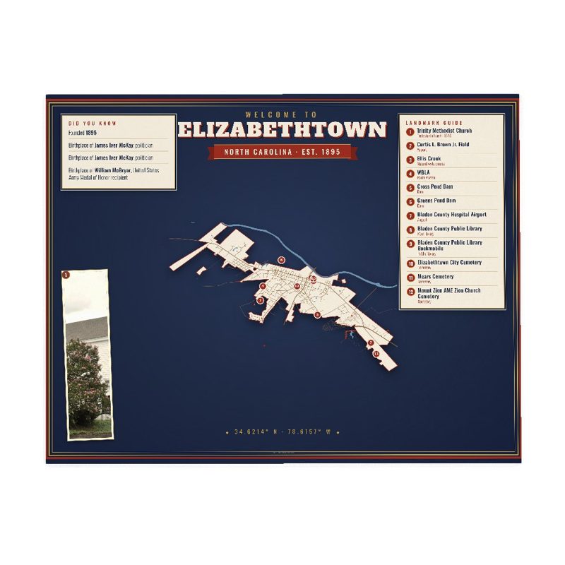
In 1984, the aging McGirt bridge was demolished and replaced by a new bridge designed to carry U.S. Highway 701. The municipal airport was also updated and renamed to Curtis L. Brown Jr. Field, after the native pilot and astronaut. The 1990s also saw the closure of the Lock and Dam system, marking an end to the town's river trading economy. Today, the dam serves as a water pool management system and park.
Modern Day
Today, Elizabethtown maintains its traditional rural foundation while slowly expanding its industrial sector. Agribusiness remains a substantial part of Elizabethtown's identity, with nearby Smithfield Foods pork processing facility in Tar Heel employing over 44% of the county's workforce. The town has also shifted focus toward manufacturing and localized economic incentives. This strategy is centered around the Elizabethtown Airport Industrial Park, which surrounds Curtis L. Brown Jr. Field. The facility supports food processing, electronic assembly, and emergency medical service operations, with plans to expand to bio-scientific and technical component manufacturing firms in the near future. The Elizabethtown-White Lake Chamber of Commerce also encourages visitors and tourists to visit the many state parks, trails, and lakes surrounding the town, using the nickname "Mother Nature's Playground" in promotional material for the area.
National Register of Historic Places
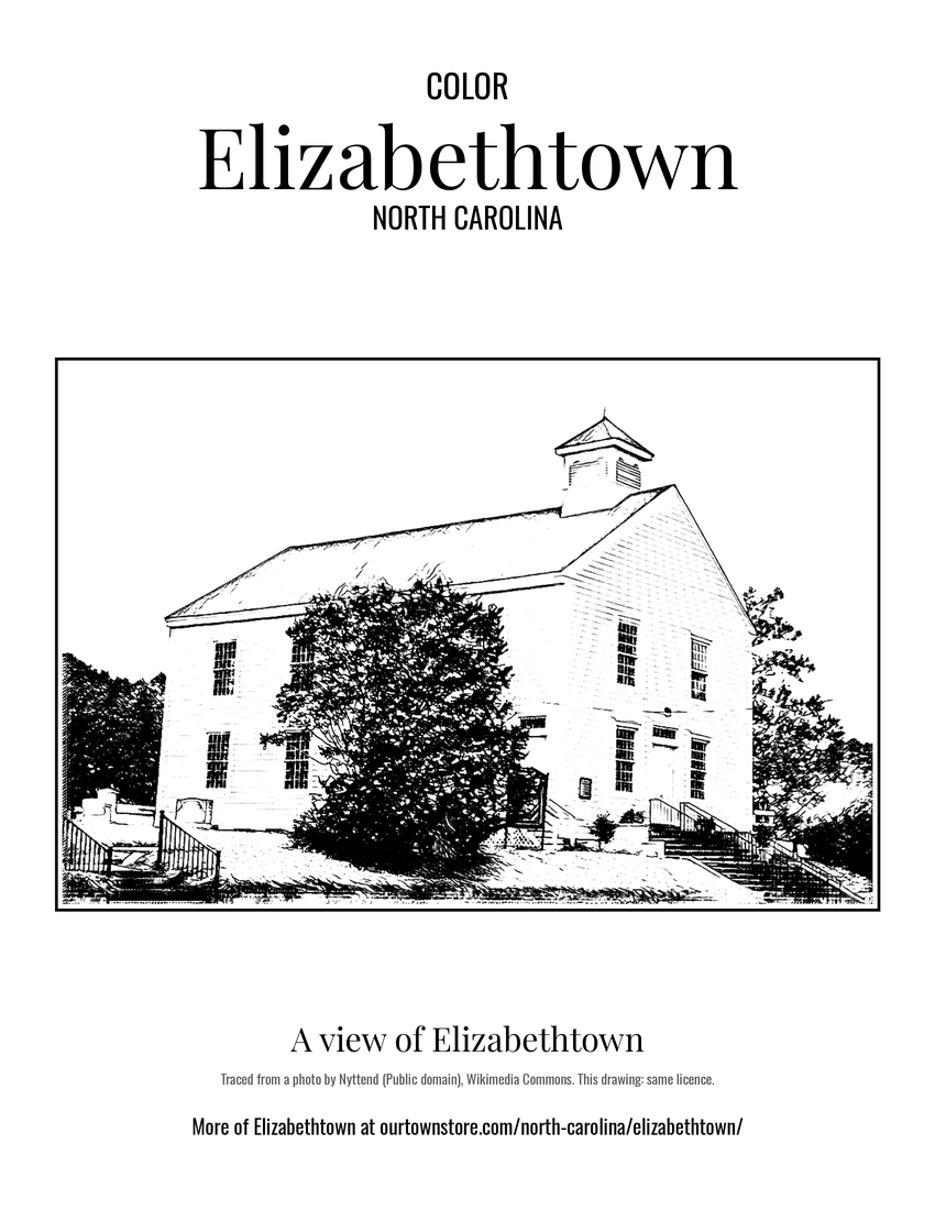
The Bladen County Training School, Mt. Horeb Presbyterian Church and Cemetery, and Trinity Methodist Church are listed on the National Register of Historic Places.
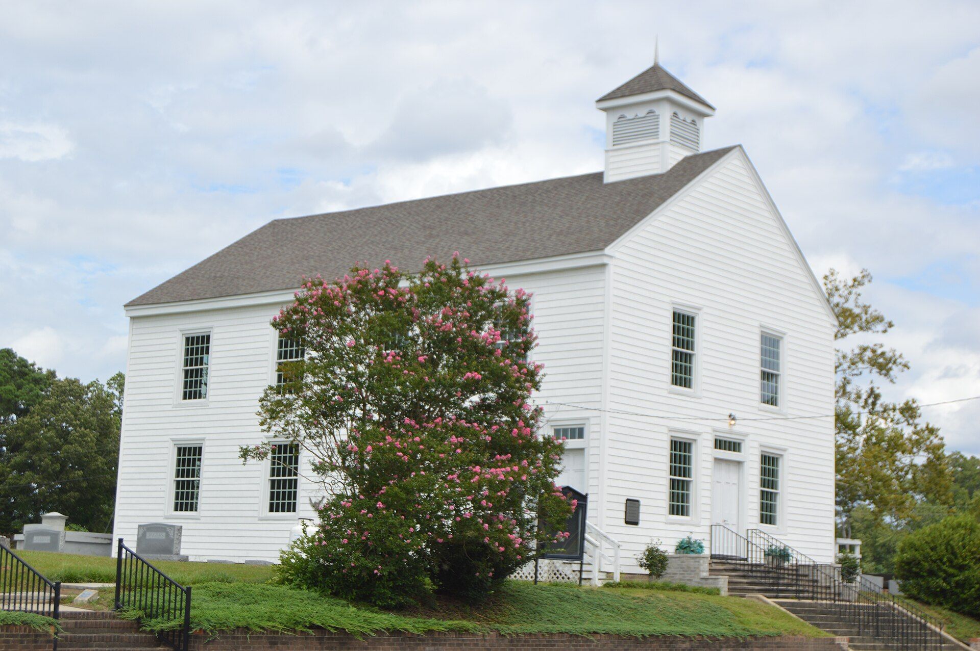
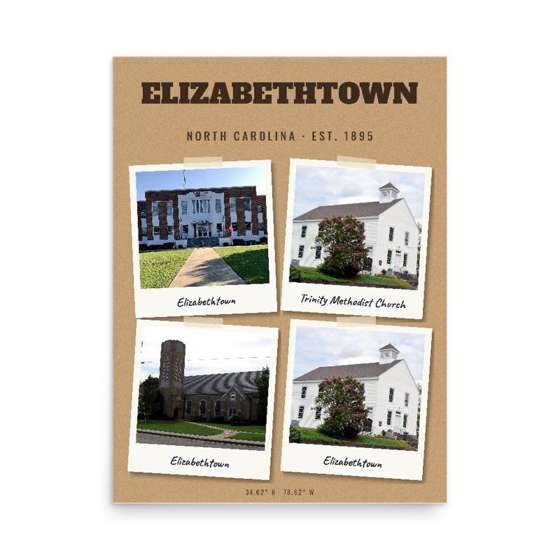

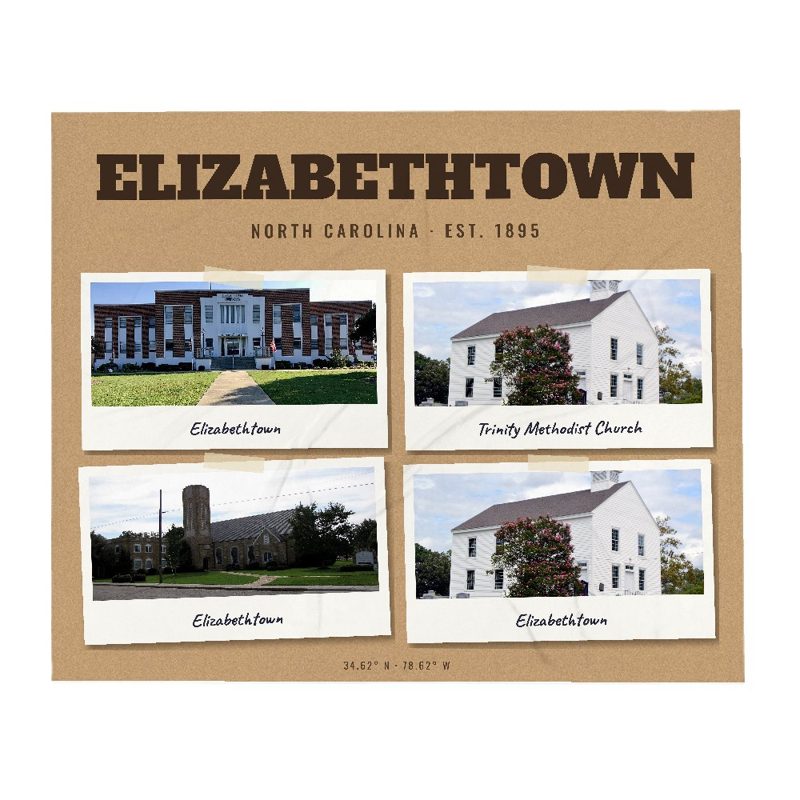
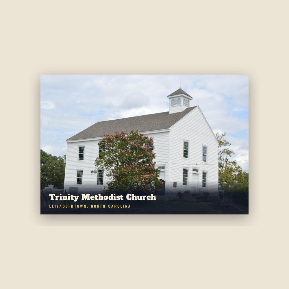
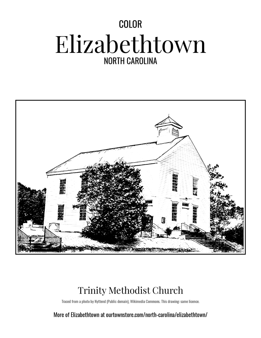 Trinity Methodist Church
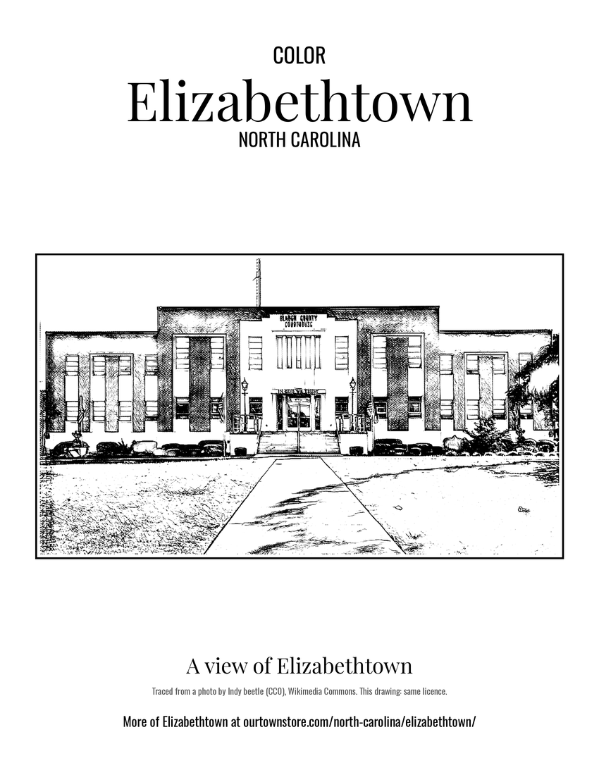 A view of Elizabethtown
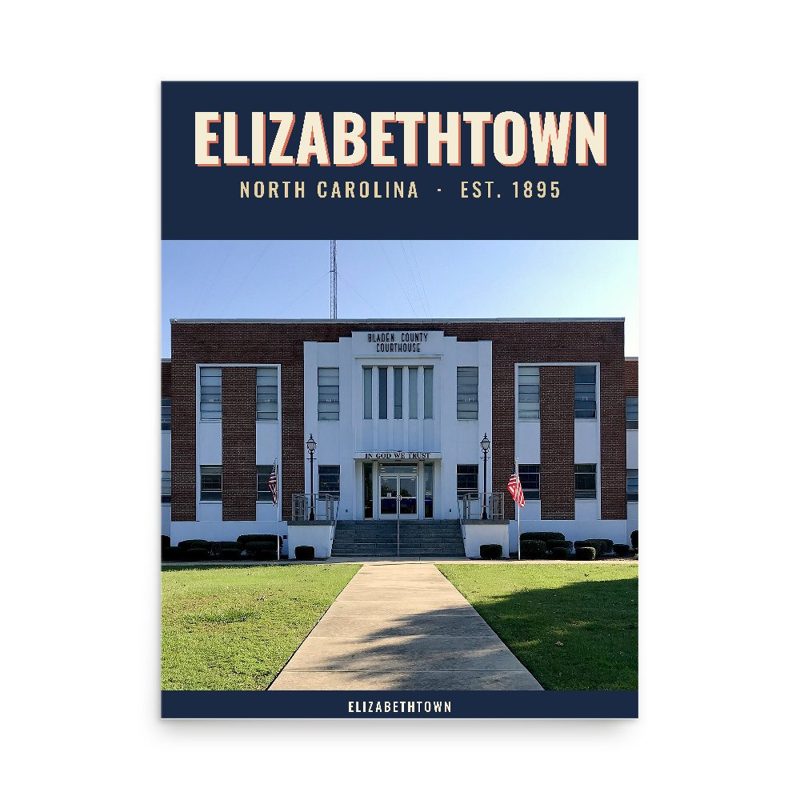
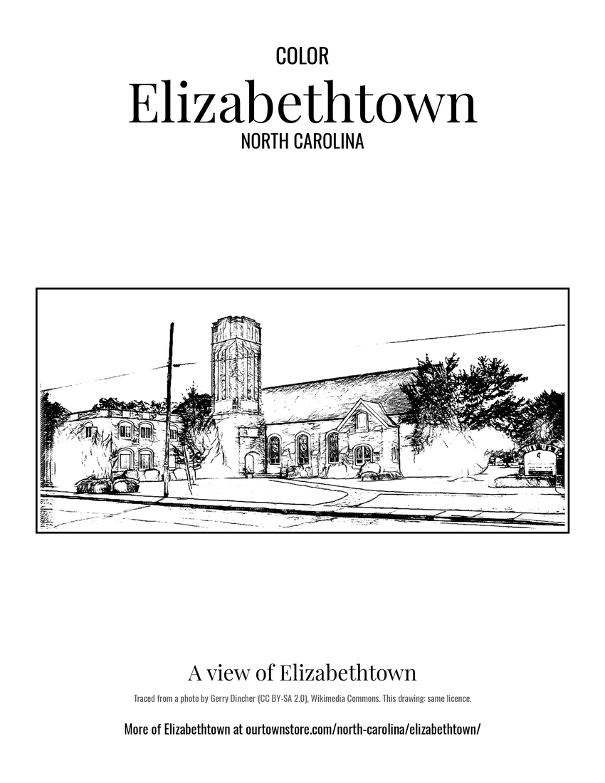 A view of Elizabethtown
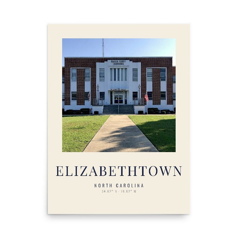
 A view of Elizabethtown