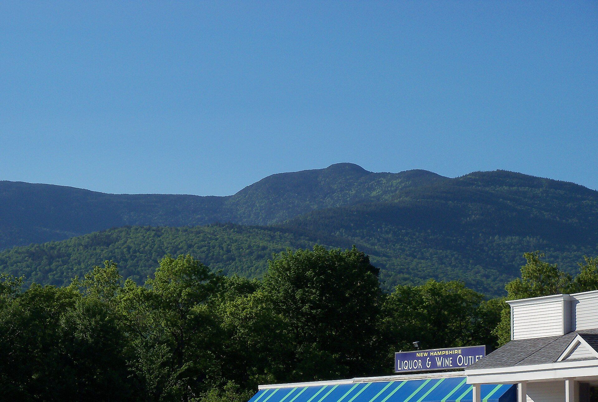
Shelburne is home to Leadmine State Forest. Landmarks include Meadow Bridge.
Every piece is drawn from Shelburne's own map data and historic archives, then printed and shipped from the USA when you order. No two towns look alike.
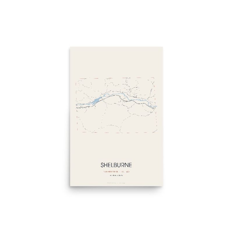
Every road in town, on archival matte paper
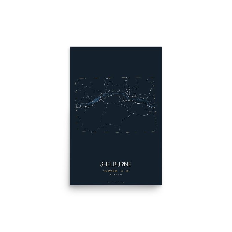
The same map, in navy and silver
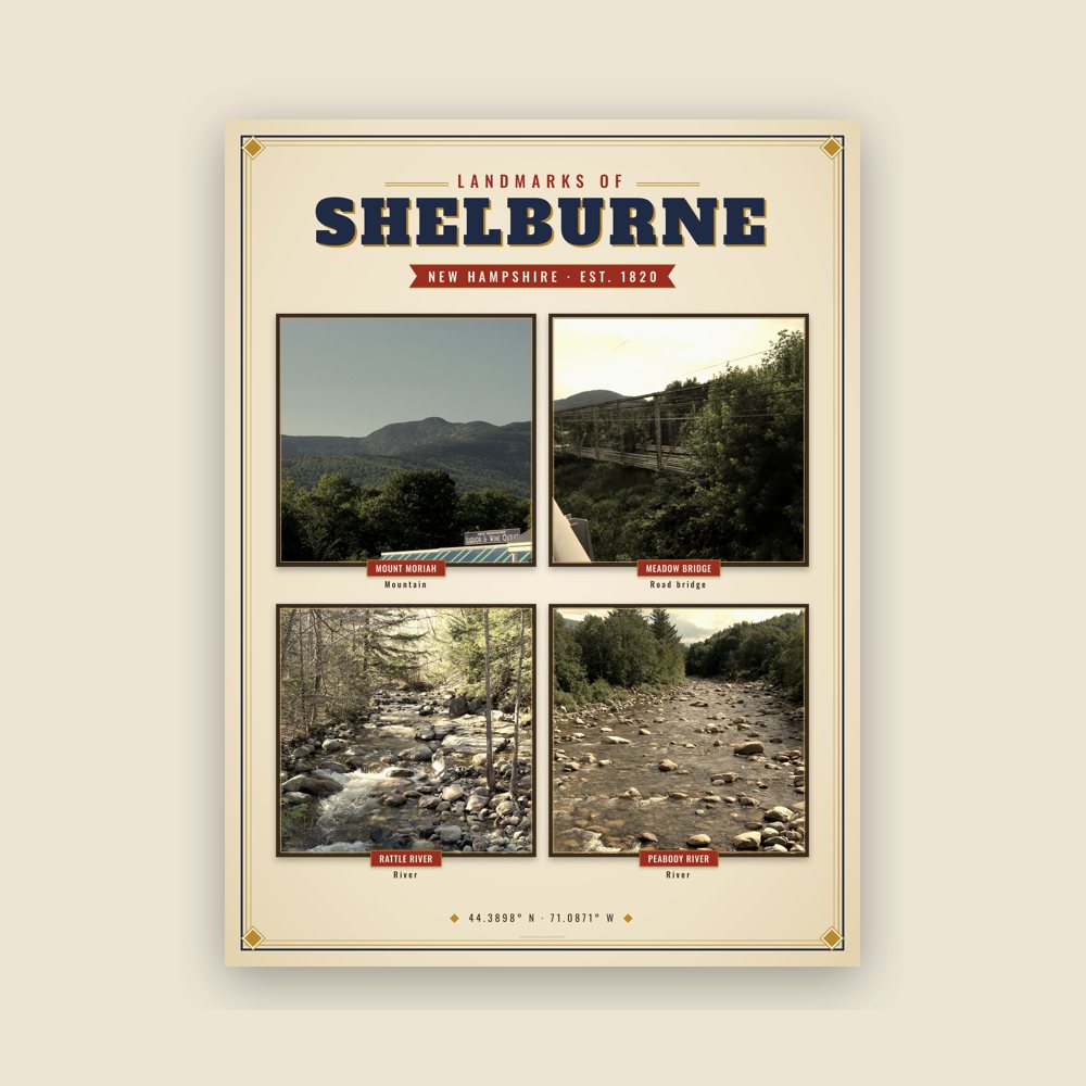
Nine local landmarks, archival matte
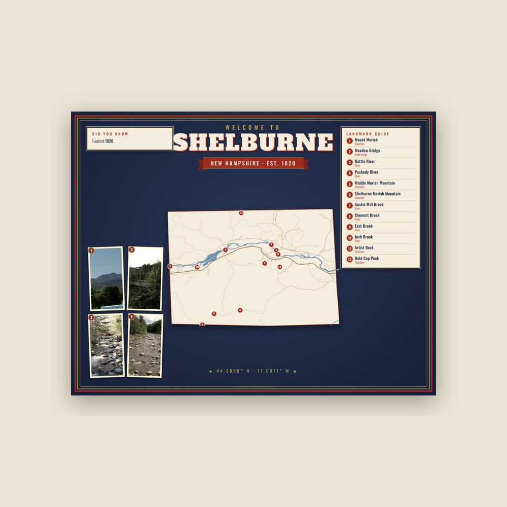
Map of local landmarks, washable fabric
Heavy-blend fleece, street map printed on the back
Soft Bella+Canvas jersey
Glossy ceramic, dishwasher safe
Ceramic keepsake, gold ribbon
Weatherproof, for the front walk
24″×16″, printed coir-look fibers, rubber back
12″×12″ printed wood, ready to hang
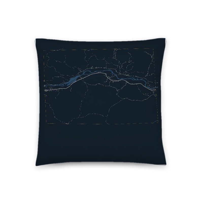
Soft-touch, zip cover
Sturdy all-over-print tote
Glossy top, cork back
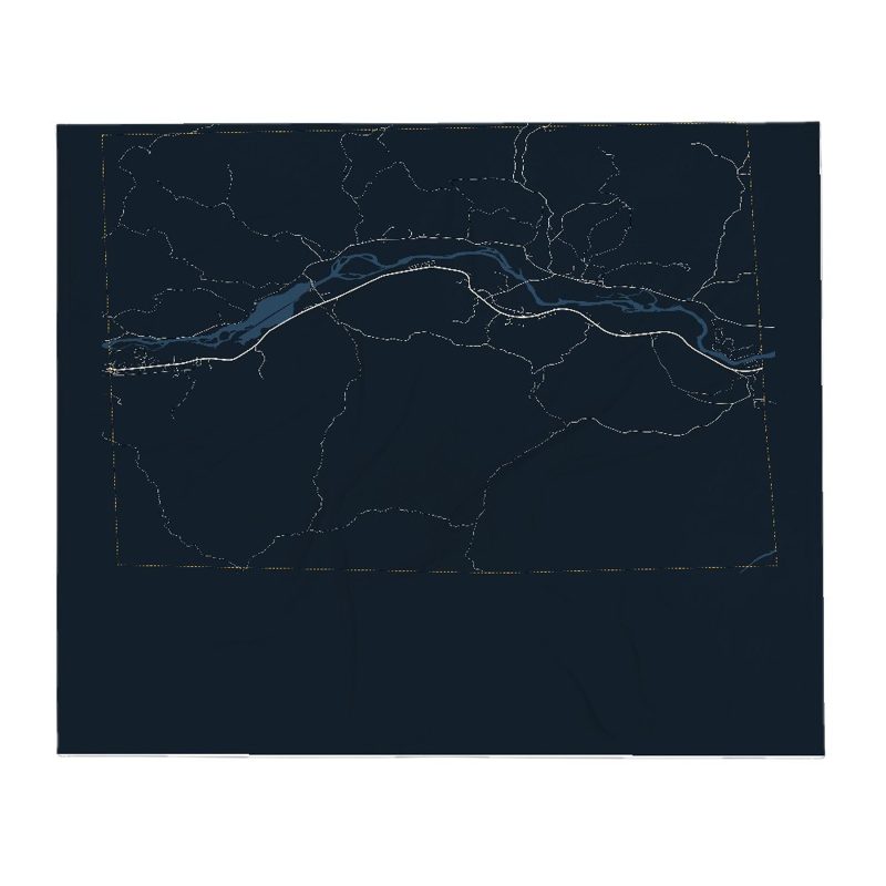
Soft fleece, 50″×60″
20 oz, double-wall stainless
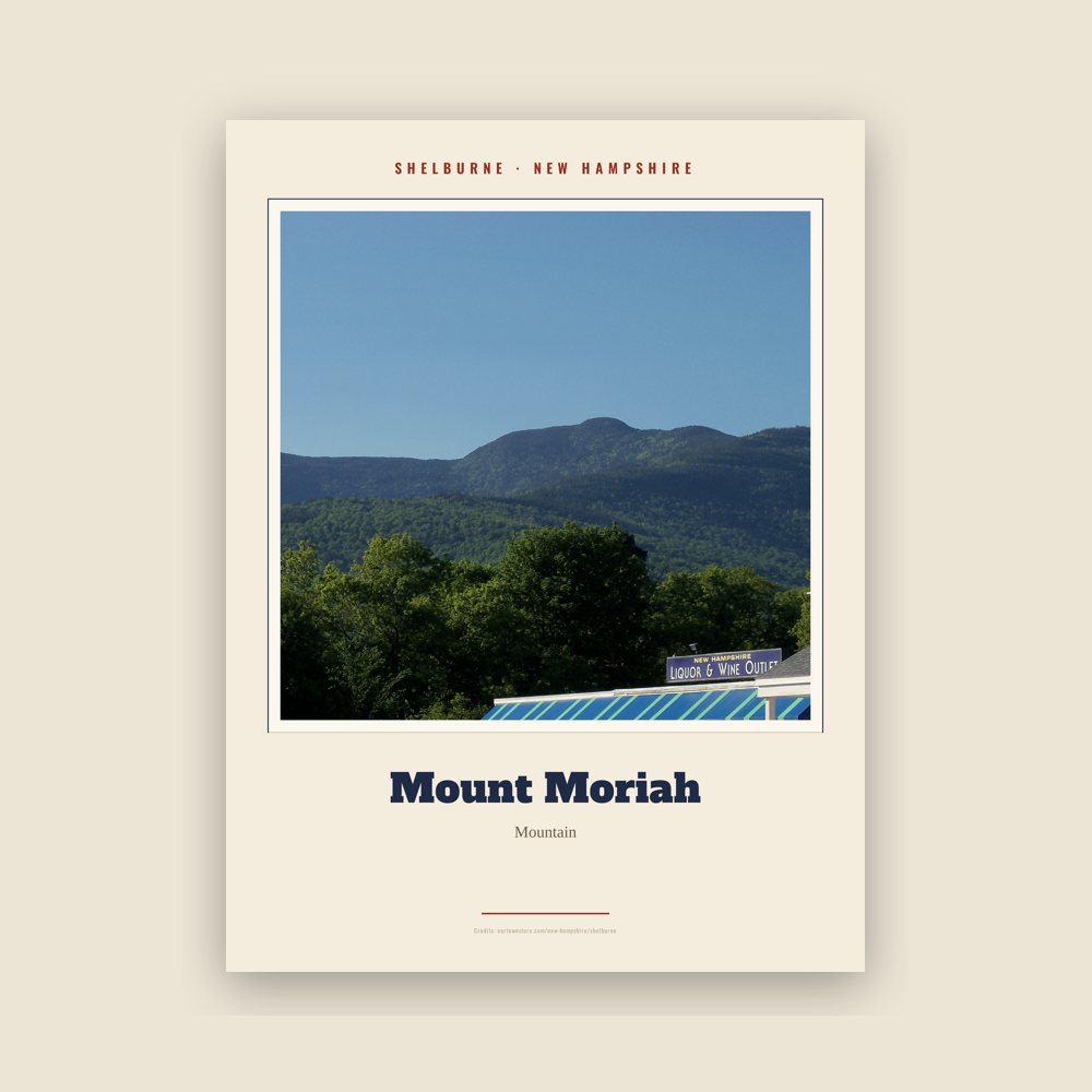
Archival matte print of a local landmark, credited to its photographer
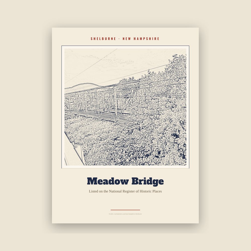
Archival matte print of a local landmark, credited to its photographer
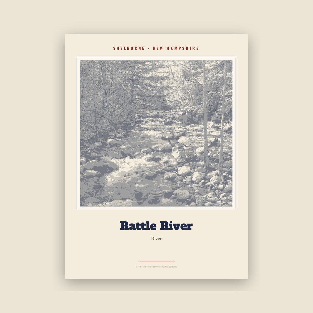
Archival matte print of a local landmark, credited to its photographer
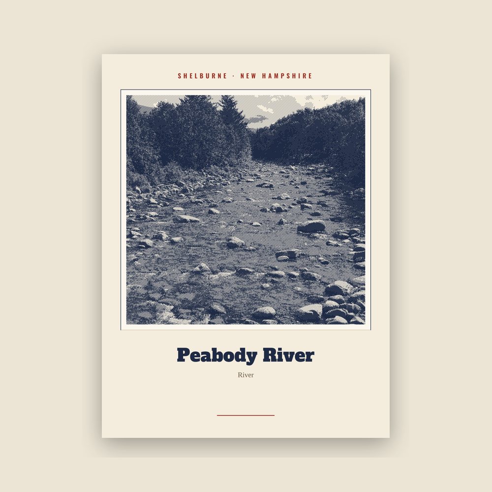
Archival matte print of a local landmark, credited to its photographer
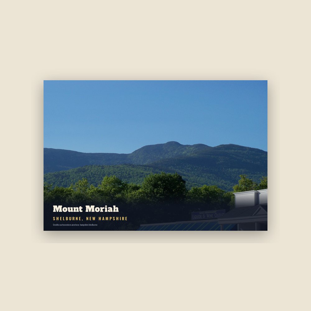
6″×4″ postcard, glossy front
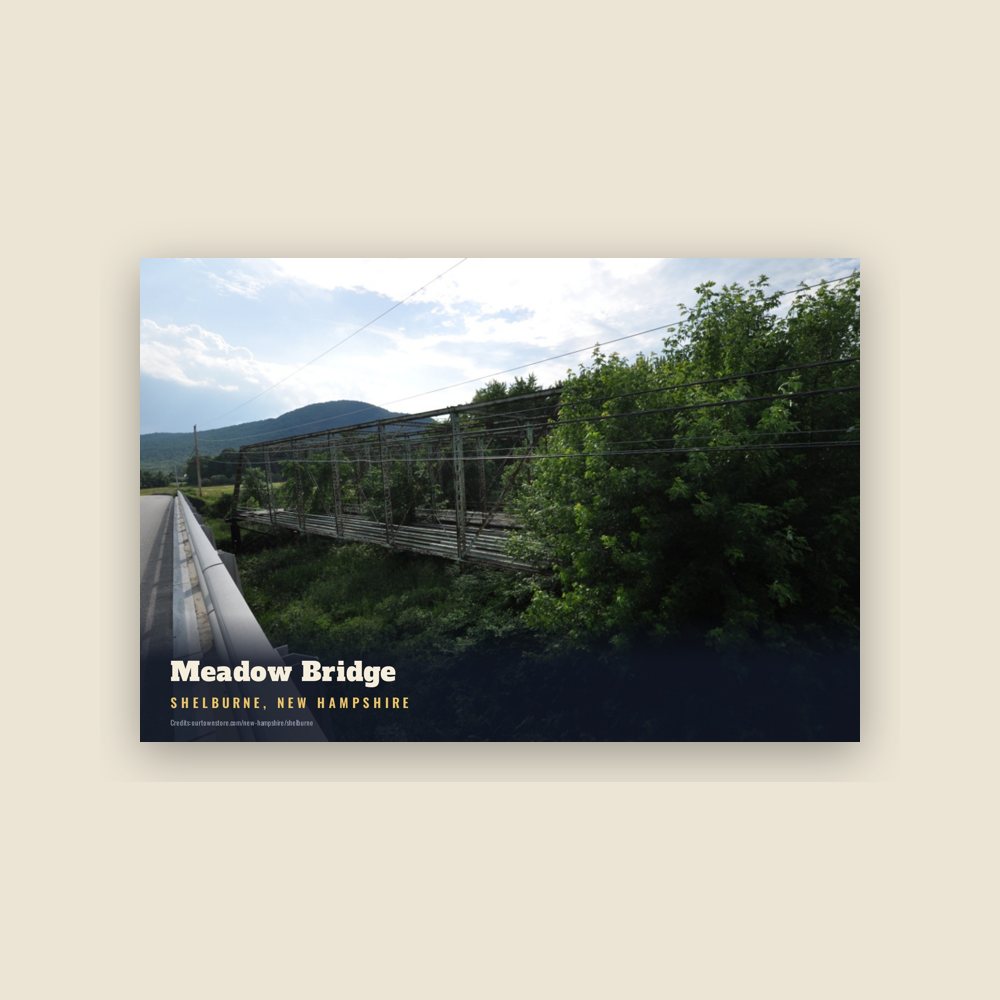
6″×4″ postcard, glossy front
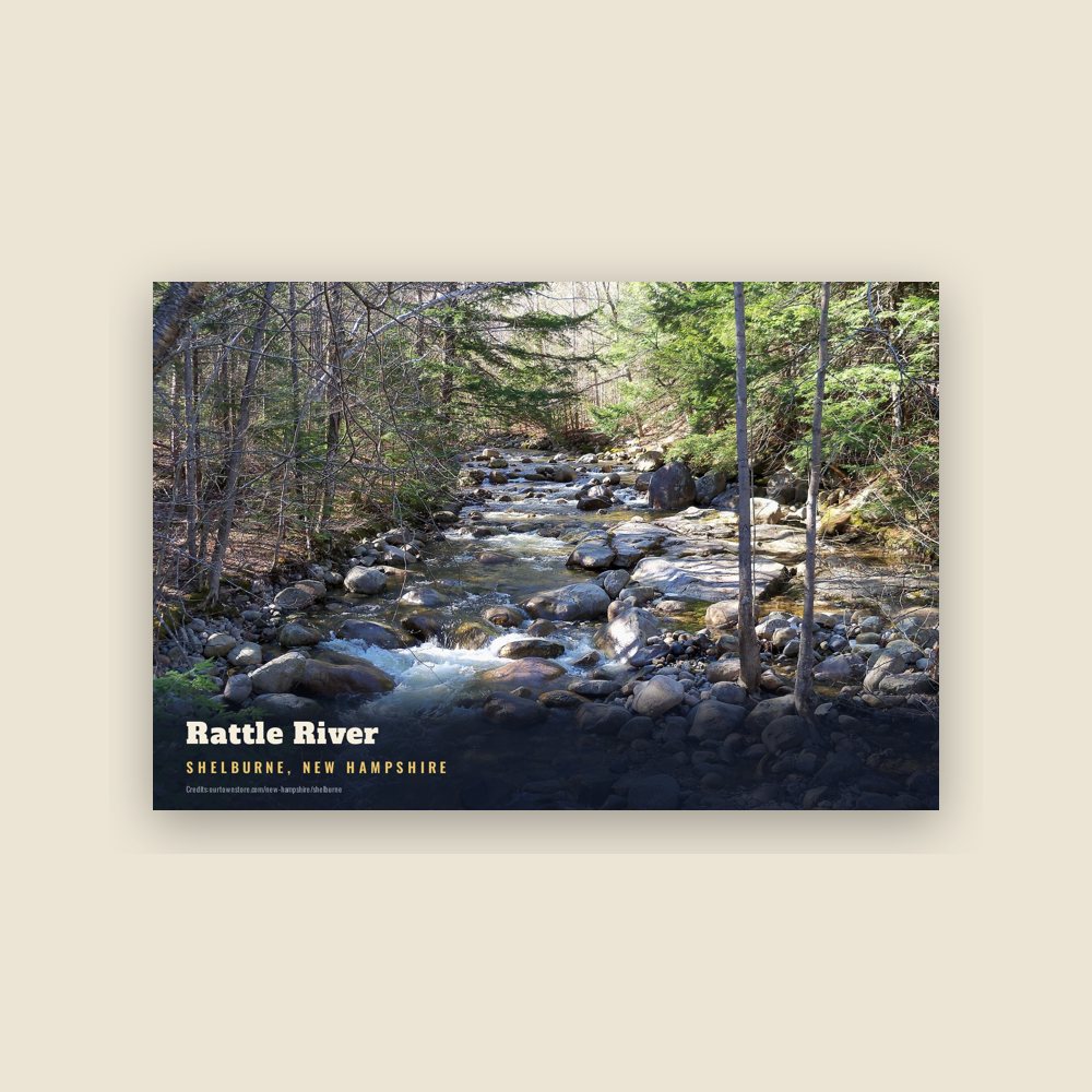
6″×4″ postcard, glossy front
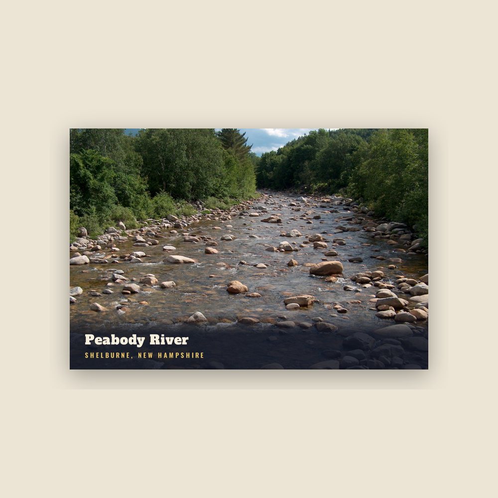
6″×4″ postcard, glossy front
Population 2010: 372 → 2020: 353
From Wikidata (CC0).
First granted in 1769 by Governor John Wentworth, the town was named for William Petty Fitzmaurice, Earl of Shelburne. He was a supporter of independence for the American colonies, and at his insistence, King George III recognized the independence of the United States. The town was first settled in 1771, and incorporated on December 13, 1820, when Shelburne voters chose to keep the name. It included "Shelburne Addition", that was set off and incorporated in 1836 as Gorham.
On August 3, 1781, the town was attacked by a party of six Indians, who had earlier raided Bethel and Gilead, Maine. They killed one man and took another into captivity. The rest of the inhabitants fled to Hark Hill, where they spent the night before sheltering in Fryeburg.
Shelburne provided excellent soil for farming on either side of the Androscoggin River, but not far from the stream it becomes mountainous. The Atlantic and St. Lawrence Railroad, which opened to Gorham on July 23, 1851, and later became the Grand Trunk Railway, passed through the southern part of the town. In 1859, the population was 480.
Located at the northern end of the Mount Washington Valley, Shelburne has a beautiful grove of birch trees, popular with artists and photographers, dedicated to the town's soldiers who served in World War II.
Adapted (trimmed) from the Wikipedia article Shelburne, New Hampshire, revision 1379123808 by its contributors, licensed CC BY-SA 4.0.
We share a part of every Shelburne sale with local partners, and we'd love to print from your collection. Old photographs, maps and postcards make the best keepsakes.
Partner with us