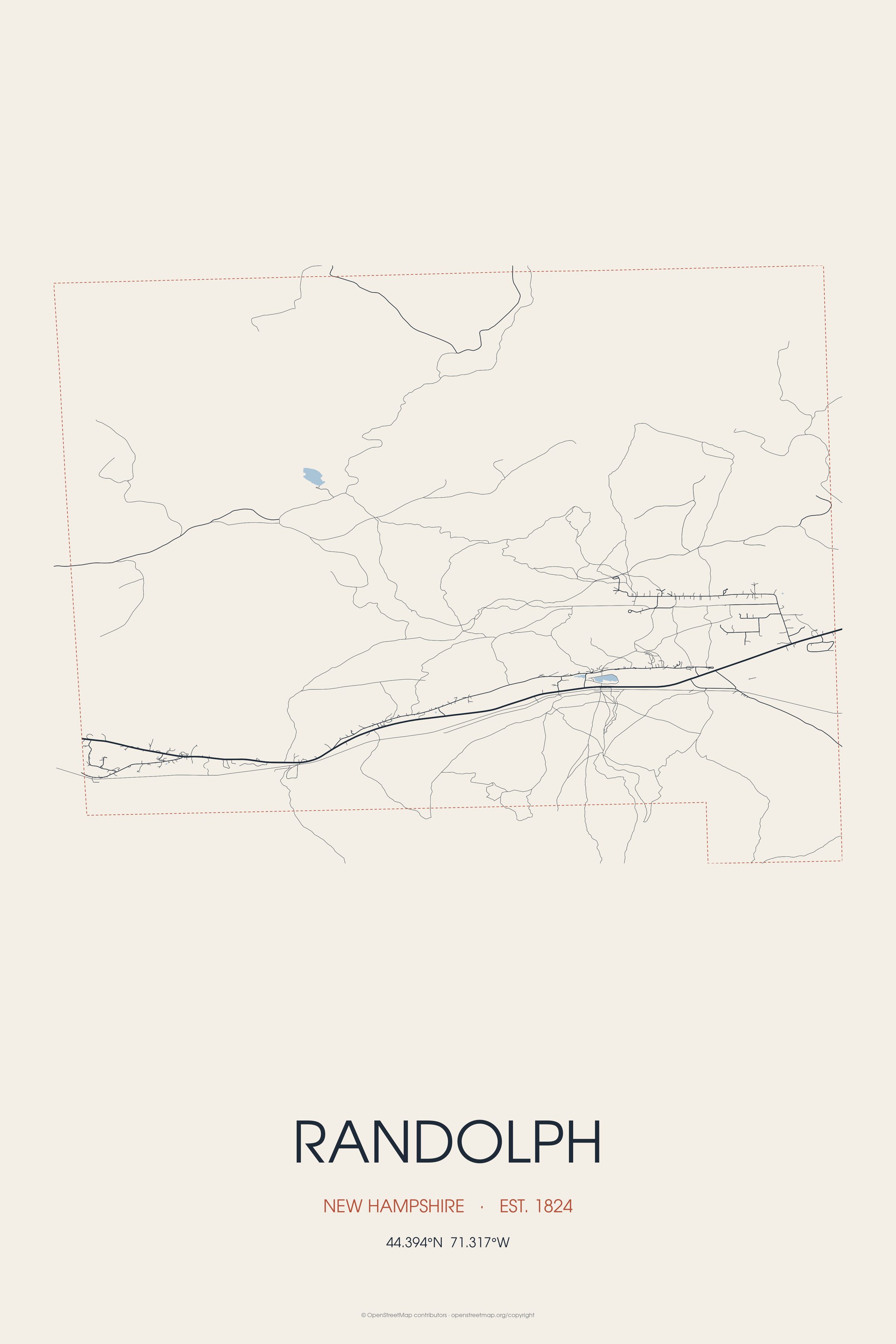
Randolph is a heavily forested town in Coös County, New Hampshire, United States, extending from the northern slopes of the White Mountains of the Presidential Range to the Crescent Range and Berlin, with U.S. Landmarks include South Weeks and Crescent Range.
Every piece is drawn from Randolph's own map data and historic archives, then printed and shipped from the USA when you order. No two towns look alike.
Every road in town, on archival matte paper
The same map, in navy and silver
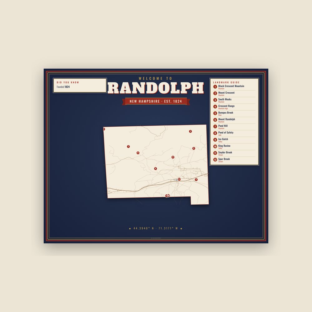
Map of local landmarks, washable fabric
Heavy-blend fleece, street map printed on the back
Soft Bella+Canvas jersey
Glossy ceramic, dishwasher safe
Ceramic keepsake, gold ribbon
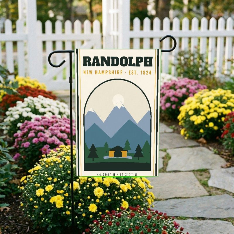
Weatherproof, for the front walk
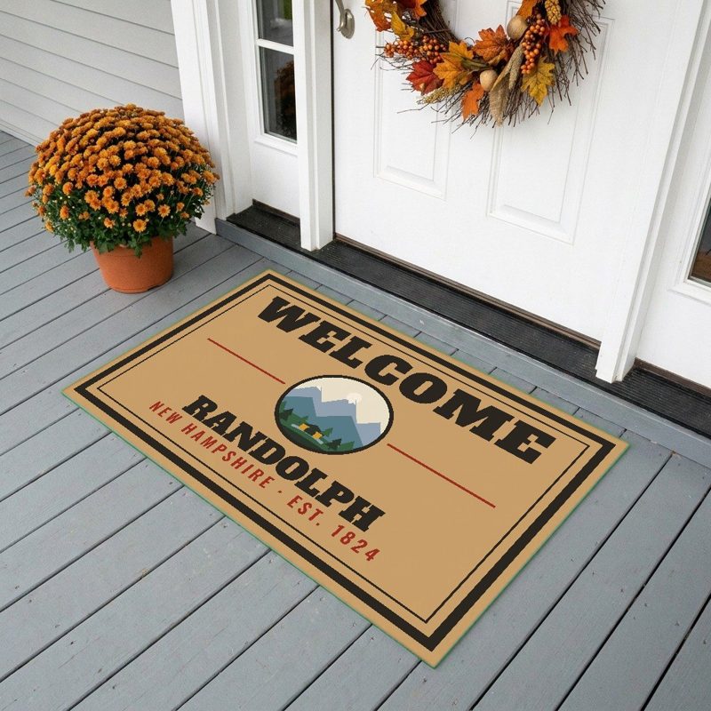
24″×16″, printed coir-look fibers, rubber back
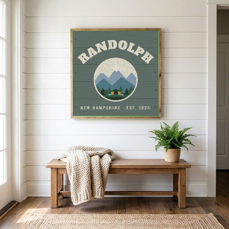
12″×12″ printed wood, ready to hang
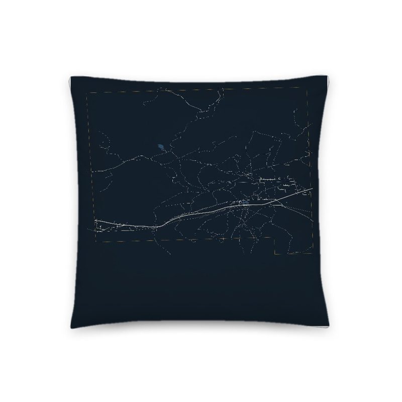
Soft-touch, zip cover
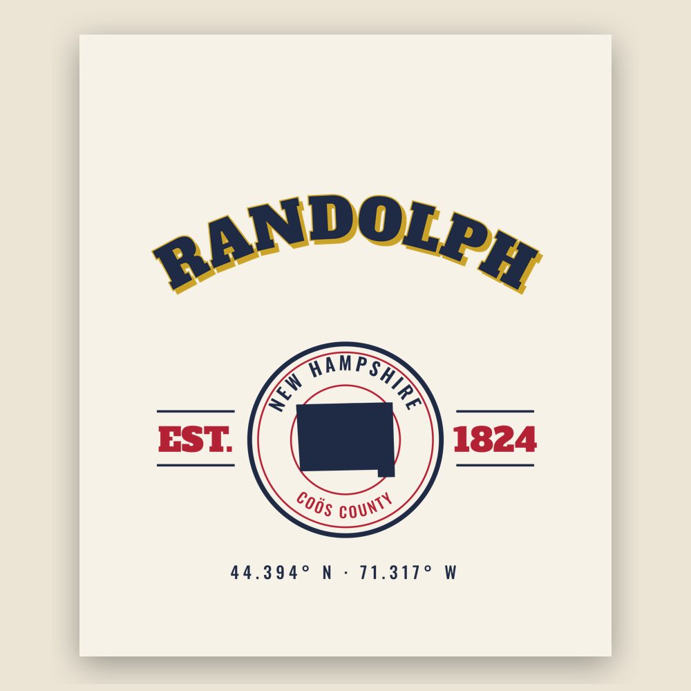
Sturdy all-over-print tote
Glossy top, cork back

Soft fleece, 50″×60″
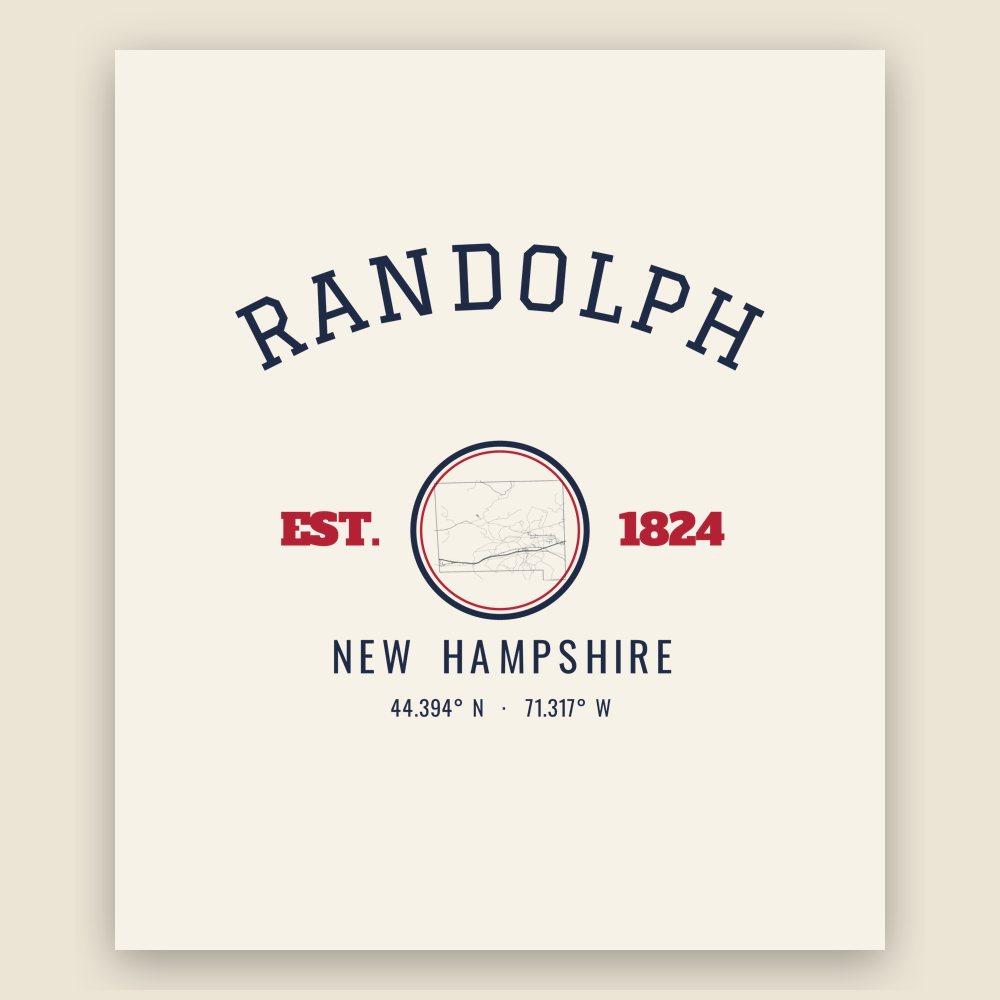
20 oz, double-wall stainless
Randolph was incorporated in 1824, after being originally granted as "Durand" in 1772. The town was named after John Randolph, a Virginia congressman and senator, and a descendant of Pocahontas.
Adapted (trimmed) from the Wikipedia article Randolph, New Hampshire, revision 1374796670 by its contributors, licensed CC BY-SA 4.0.
We share a part of every Randolph sale with local partners, and we'd love to print from your collection. Old photographs, maps and postcards make the best keepsakes.
Partner with us