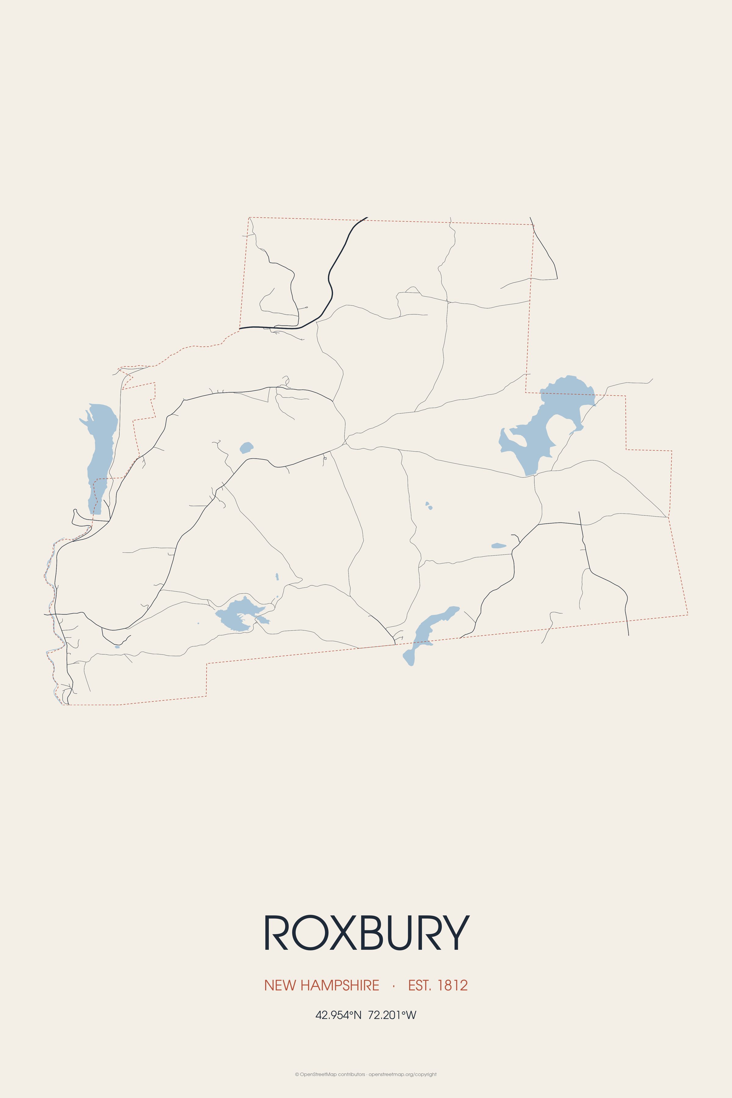
The smallest town in Cheshire County, Roxbury was incorporated in 1812 from portions of Nelson, Marlborough, and Keene. Landmarks include Buckminster-Kingsbury Farm and Monadnock Region. Roxbury is the birthplace of Joseph Alexander Ames, artist.
Every piece is drawn from Roxbury's own map data and historic archives, then printed and shipped from the USA when you order. No two towns look alike.
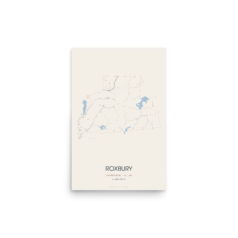
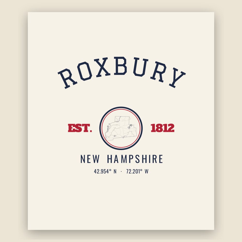
Every road in town, on archival matte paper
The same map, in navy and silver
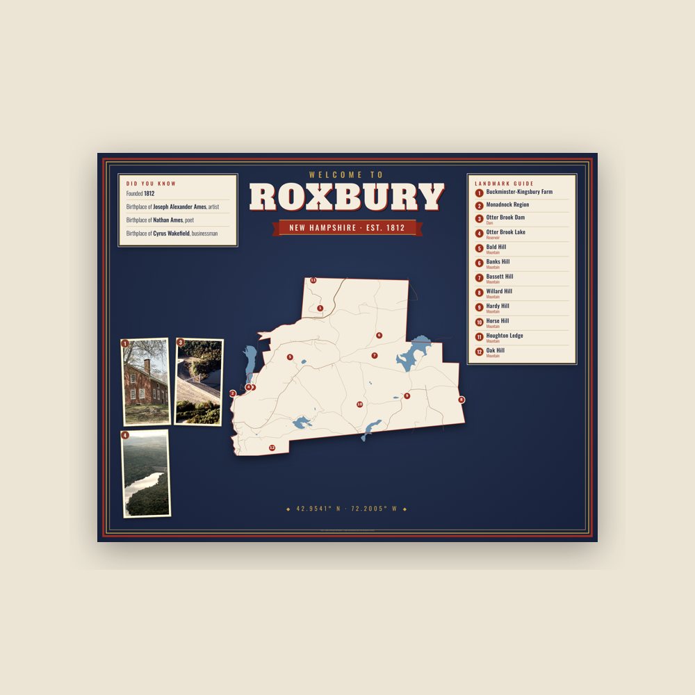
Map of local landmarks, washable fabric

Heavy-blend fleece, street map printed on the back

Soft Bella+Canvas jersey

Glossy ceramic, dishwasher safe
Ceramic keepsake, gold ribbon
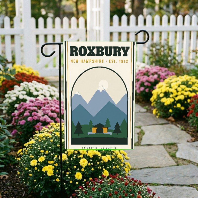
Weatherproof, for the front walk
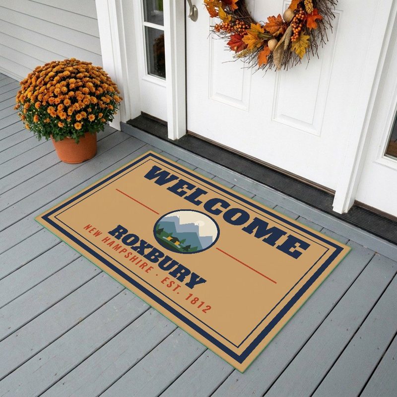
24″×16″, printed coir-look fibers, rubber back

12″×12″ printed wood, ready to hang
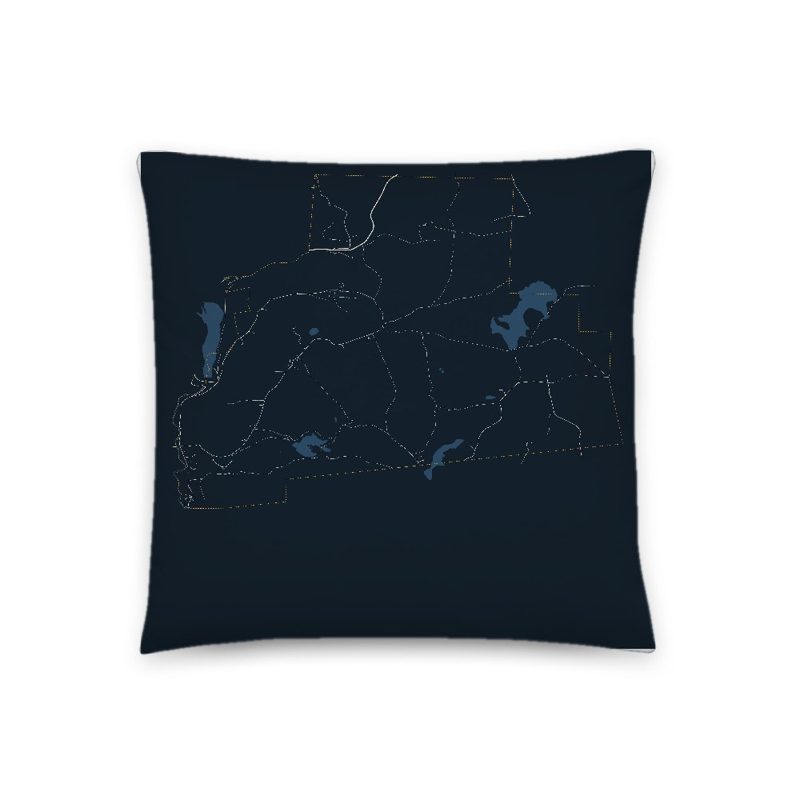
Soft-touch, zip cover

Sturdy all-over-print tote

Glossy top, cork back
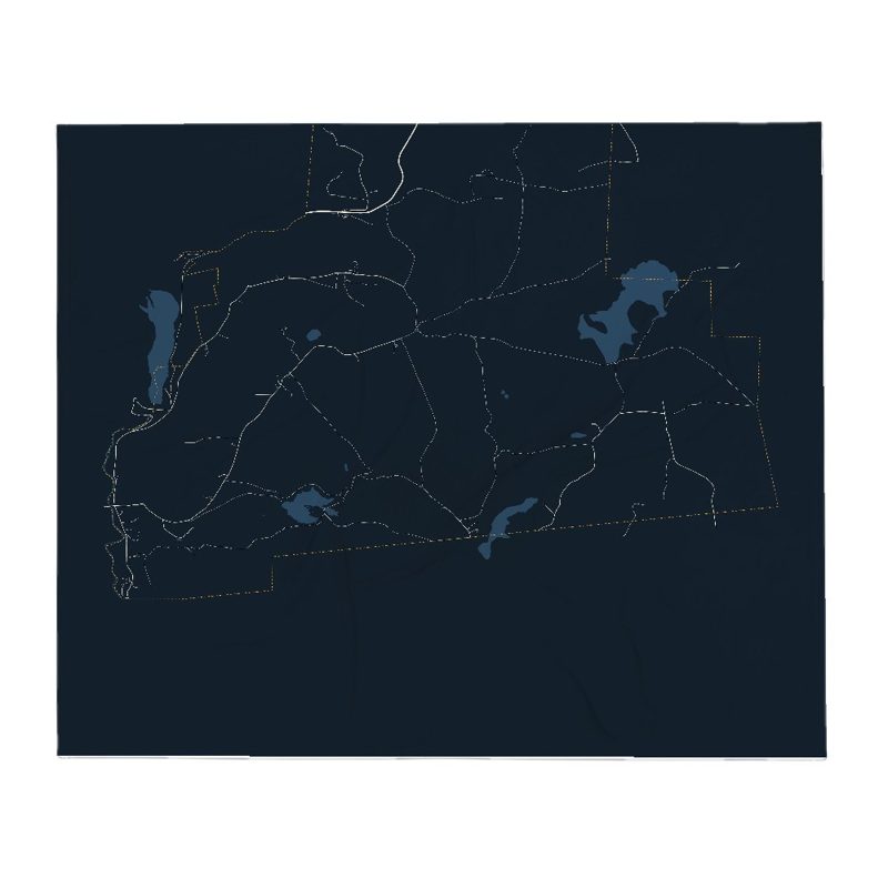
Soft fleece, 50″×60″
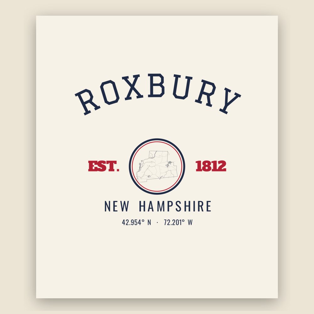
20 oz, double-wall stainless
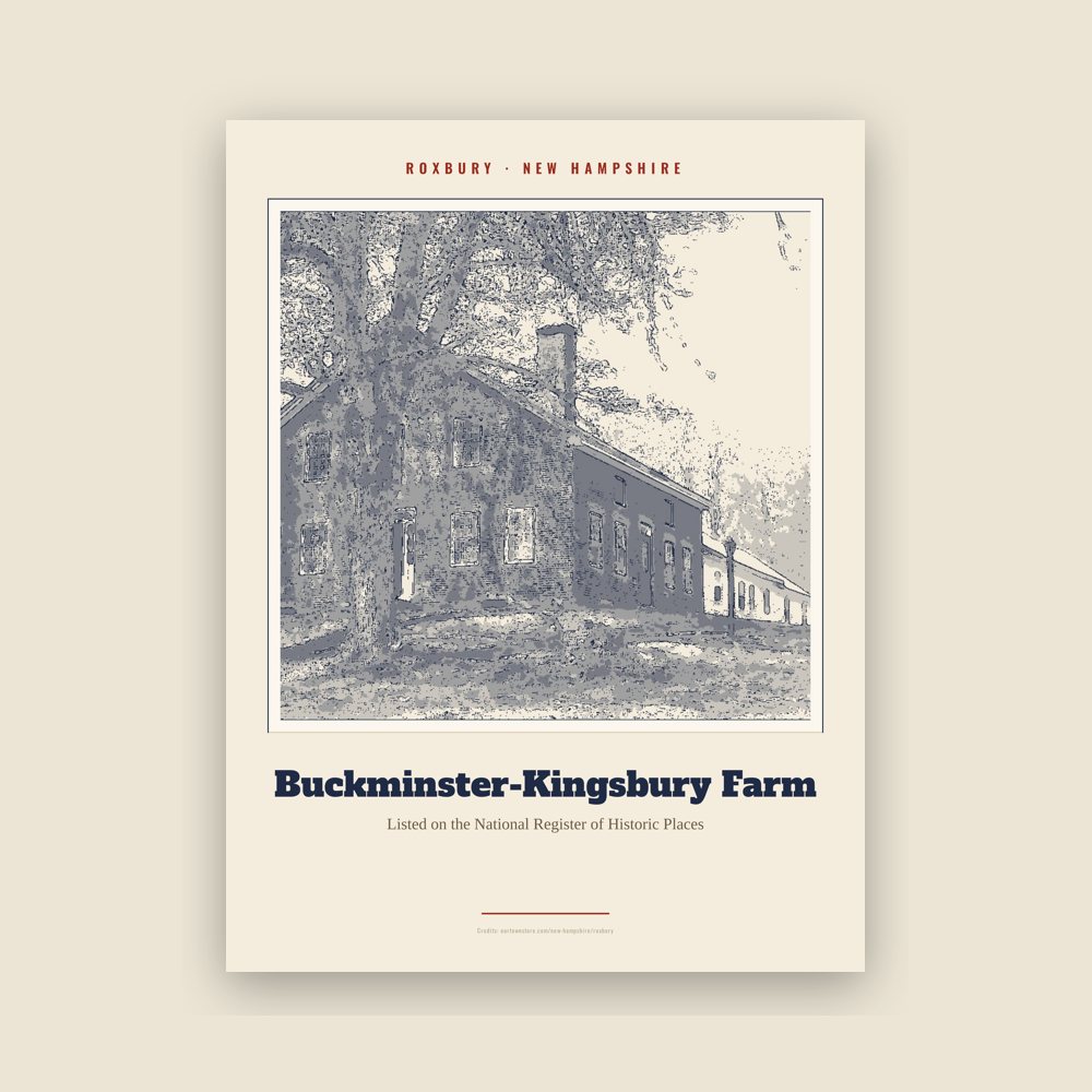
Archival matte print of a local landmark, credited to its photographer
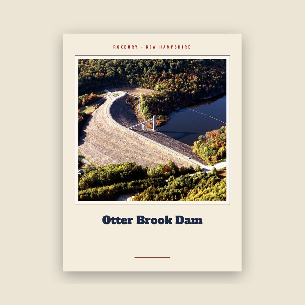
Archival matte print of a local landmark, credited to its photographer
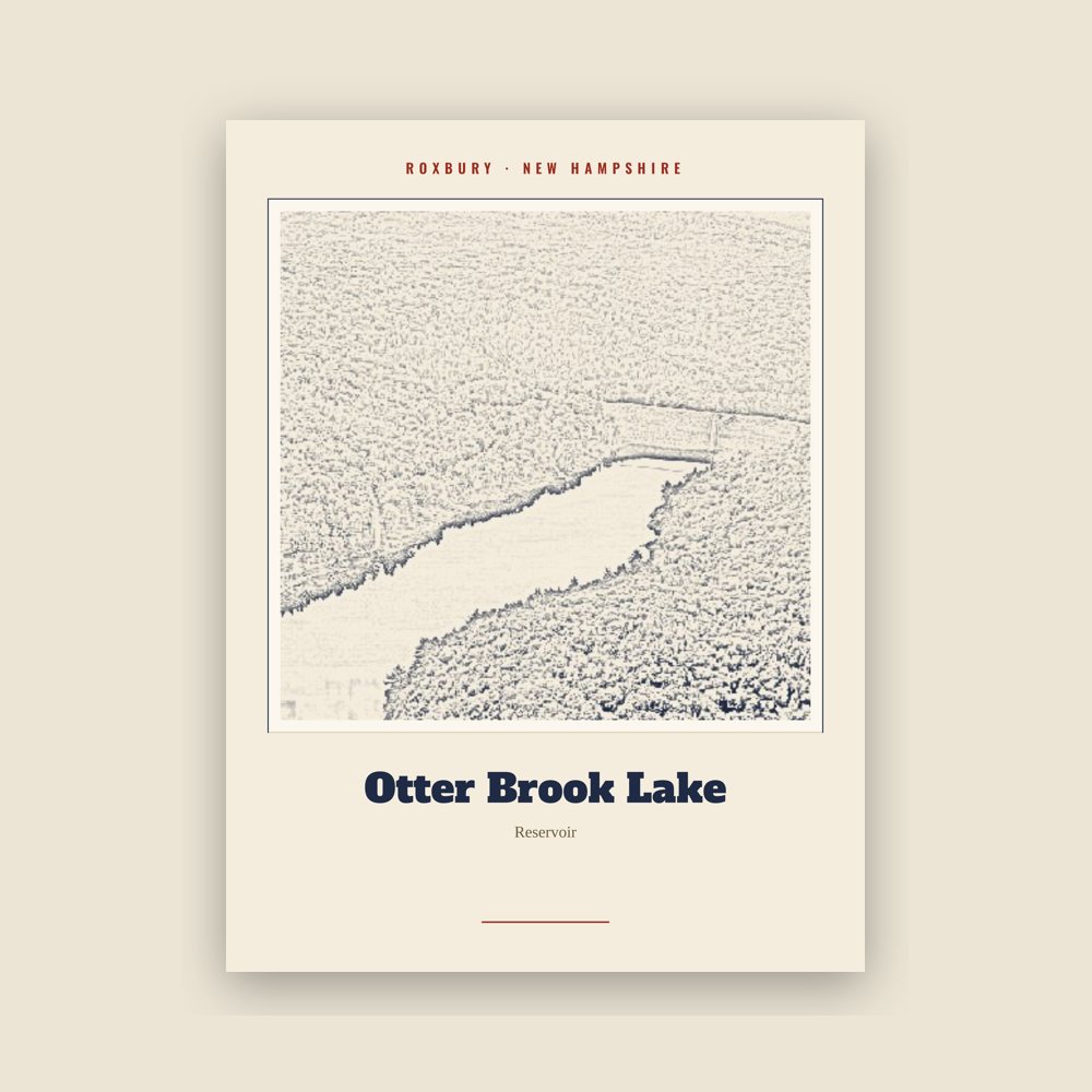
Archival matte print of a local landmark, credited to its photographer
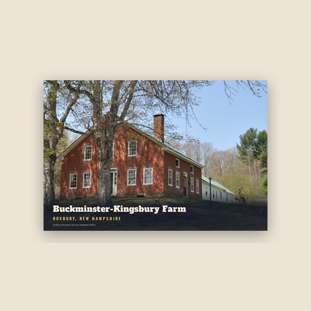
6″×4″ postcard, glossy front
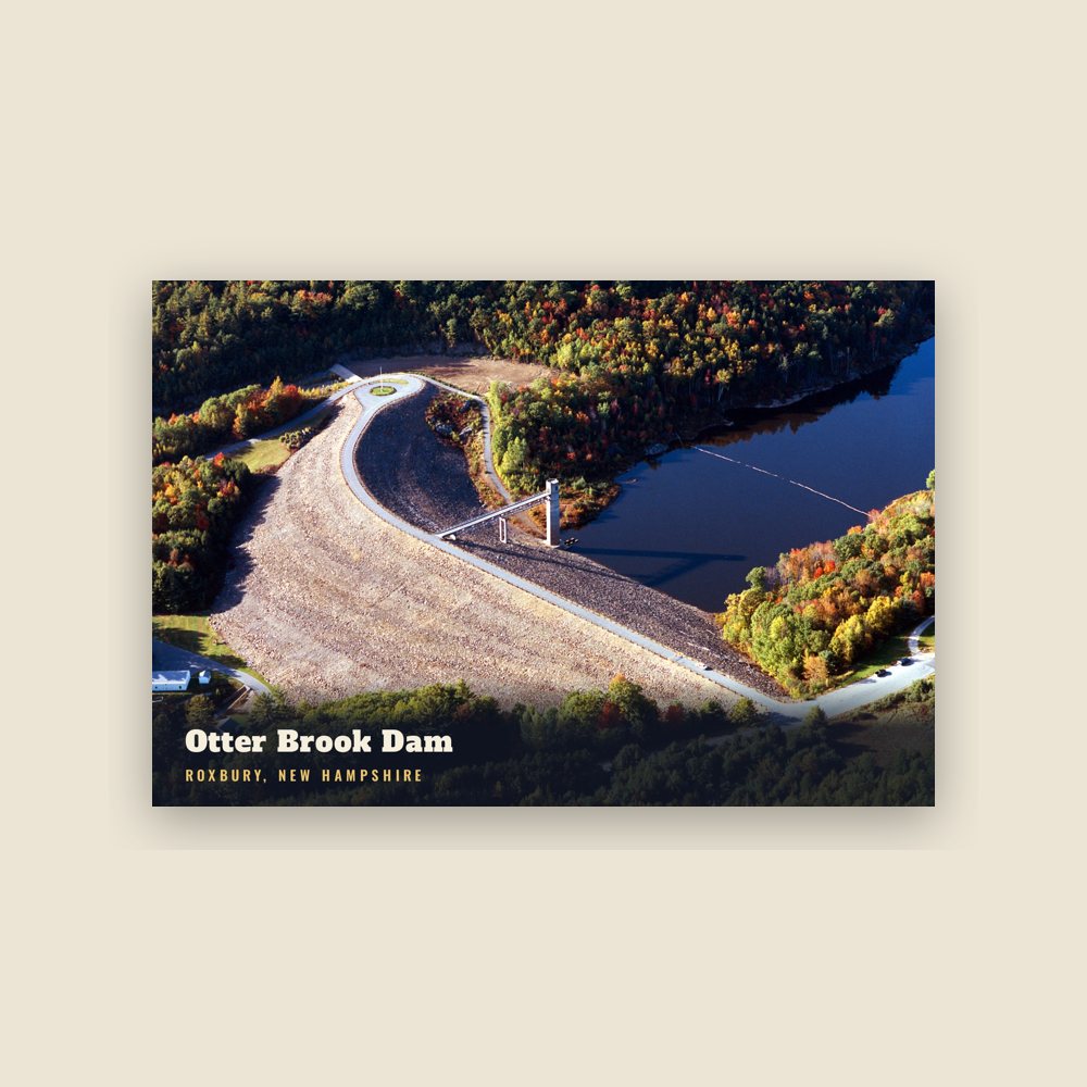
6″×4″ postcard, glossy front
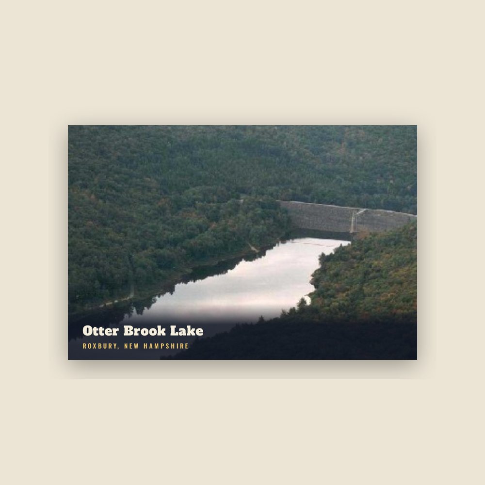
6″×4″ postcard, glossy front
Population 2010: 229 → 2020: 220
From Wikidata (CC0).
The smallest town in Cheshire County, Roxbury was incorporated in 1812 from portions of Nelson, Marlborough, and Keene. By then, settlers had established agriculture among the rolling hillsides in the area, and a community had developed at what is now called Roxbury Center. It was a "hill farm" community with some scattered small mills. Roxbury's granite quarries, among the most extensive in the Granite State at the time, provided some of the stone for the capitol building of New York in Albany.
Much of Roxbury was abandoned in the Civil War, as a very high percentage of its male population was killed in battle. Other residents left after the Civil War to seek a better life in local mill villages or in the American Midwest. Otter Brook Lake, constructed by the Army Corps of Engineers in 1956–1958 to control flooding in the Ashuelot and Connecticut River valleys, occupies part of the town's western boundary.
Adapted (trimmed) from the Wikipedia article Roxbury, New Hampshire, revision 1379963331 by its contributors, licensed CC BY-SA 4.0.
We share a part of every Roxbury sale with local partners, and we'd love to print from your collection. Old photographs, maps and postcards make the best keepsakes.
Partner with us