For many years, indigenous people of the United States, including the Shoshone, Nez Perce, Blackfeet, Flathead, Crow, and Sioux traveled through the area, called the "Valley of the Flowers." The Gallatin Valley in particular, in which Bozeman is located, was primarily within the territory of the Crow people.
Read the full history
19th century
William Clark visited the area in July 1806 as he traveled east from Three Forks along the Gallatin River. The party camped 3 miles (4.8 km) east of what is now Bozeman, at the mouth of Kelly Canyon. The journal entries from Clark's party briefly describe the future city's location.
John Bozeman
In 1863, John Bozeman, a pioneer and frontiersman from Pickens County, Georgia, along with a partner named John Jacob, opened the Bozeman Trail, a new northern trail off the Oregon Trail leading to the mining town of Virginia City through the Gallatin Valley and the future location of the city of Bozeman.
John Bozeman, with Daniel Rouse and William Beall, platted the town in August 1864, stating "standing right in the gate of the mountains ready to swallow up all tenderfeet that would reach the territory from the east, with their golden fleeces to be taken care of." Red Cloud's War closed the Bozeman Trail in 1868, but the town's fertile land still attracted permanent settlers.
Bozeman's death has been the source of much controversy. For years, the story was circulated that Bozeman and one of his friends, Tom Cover, were hiking to a neighboring town when Blackfeet attacked and killed Bozeman. Some accounts suggest that Cover committed the murder and blamed the Blackfeet for it.
Nelson Story
In 1866, Nelson Story, a successful Virginia City, Montana, gold miner originally from Ohio, entered the cattle business. Story braved the hostile Bozeman Trail to successfully drive some 1,000 head of Longhorn cattle into Paradise Valley just east of Bozeman. Eluding the U.S. Army, which tried to turn Story back to protect the drive from hostile Indigenous Americans, Story's cattle formed one of the earliest significant herds in Montana's cattle industry. Story established a sizable ranch in the Paradise Valley, with holdings in the Gallatin Valley. He later donated land to the state for the establishment of Montana State University.
Fort Ellis
Fort Ellis was established in 1867 by Captain R. S. LaMotte and two companies of the 2nd Cavalry, after the murder of John Bozeman near the mouth of Mission Creek on the Yellowstone River, and considerable political disturbance in the area led local settlers and miners to feel a need for added protection. The fort, named for Gettysburg casualty Colonel Augustus Van Horne Ellis, was decommissioned in 1886, and few remnants are left at the actual site, now occupied by the Fort Ellis Experimental Station of Montana State University. In addition to Fort Ellis, a short-lived fort, Fort Elizabeth Meagher (also simply known as Fort Meagher), was established in 1867 by volunteer militiamen. This fort was located 8 miles (12.9 km) east of town on Rocky Creek.
Other
In 1864, W. W. Alderson described Gallatin County as "one of the most beautiful and picturesque valleys the eye ever beheld, abounding in springs of clear water." Many tended to agree, and Bozeman quickly garnered the nickname of "The Egypt" of Montana.
After incorporation, the first issue of the weekly Avant Courier newspaper, the precursor of today's Bozeman Chronicle, was published in Bozeman on September 13, 1871.
Bozeman's main cemetery, Sunset Hills Cemetery, was given to the city in 1872, when English lawyer and philanthropist William Henry Blackmore purchased the land after his wife Mary Blackmore died of pneumonia in Bozeman in July 1872.
The first library in Bozeman was formed by the Young Men's Library Association in a room above a drugstore in 1872. It later moved to the mayor's office and was taken over by the city in 1890.
The first Grange meeting in Montana Territory was held in Bozeman in 1873. The Northern Pacific Railway reached Bozeman from the east in 1883. By 1900, Bozeman's population had reached 3,500.
In 1891, Congress approved funding for a fish-rearing station in the Rocky Mountain region. In 1892, the United States Commission of Fish and Fisheries established a fish hatchery on Bridger Creek at the entrance to Bridger Canyon. The fourth-oldest fish hatchery in the United States, the facility ceased to be primarily a hatchery in 1966 and became the U.S. Fish and Wildlife Service's Bozeman National Fish Hatchery, later a fish technology and health center. The center receives around 5,000 visitors a year, observing biologists working on diet testing, feed manufacturing technology, fish diseases, brood stock development, and improvement of water quality.
Bozeman was home to early minor league baseball. In 1892, Bozeman fielded a team in the Class B level Montana State League. In 1909, the Bozeman Irrigators played as members of the Class D level Inter-Mountain League. Both leagues disbanded.
Montana State University was established in 1893 as the state's land-grant college, then named the Agricultural College of the State of Montana. By the 1920s, the institution was known as Montana State College, and in 1965, it became Montana State University. Montana State University's largest campus is in Bozeman, enrolling 17,165 students as of fall 2025.
20th century
Bozeman's first high school, Gallatin Valley High School, was built on West Main Street in 1902. Later known as Willson School, named for notable Bozeman architect Fred Fielding Willson, son of Lester S. Willson, the building still stands today and functions as administrative offices for the Bozeman School District.
In the early 20th century, over 17,000 acres (69 km2) of the Gallatin Valley were planted in edible peas harvested for both canning and seed. By the 1920s, canneries in the Bozeman area were major producers of canned peas, and at one point, Bozeman produced roughly 75% of all seed peas in the United States. The area was once known as the "Sweet Pea Capital of the Nation", referencing the prolific edible pea crop. To promote the area and celebrate its prosperity, local business owners began a "Sweet Pea Carnival" that included a parade and queen contest. The annual event lasted from 1906 to 1916. Promoters used the inedible but fragrant and colorful sweet pea flower as an emblem of the celebration. In 1977, the "Sweet Pea" concept was revived as an arts festival rather than a harvest celebration, growing into a three-day event that is one of the largest festivals in Montana.
The first federal building and post office was built in 1915. Many years later, while unused, it became a film location, along with downtown Bozeman, in A River Runs Through It (1992) by Robert Redford, starring Brad Pitt. It is now used by Human Resource Development Council, a community organization.
In 1986, the 60-acre (24 ha) site of the Idaho Pole Co. on Rouse Avenue was designated a Superfund site and placed on the National Priorities List. Idaho Pole treated wood products with creosote and pentachlorophenol on the site between 1945 and 1997.
The Museum of the Rockies, created in 1957 as the gift from Butte physician Caroline McGill, is a part of Montana State University and an affiliate institution of the Smithsonian. It is a natural and cultural history museum and houses permanent exhibits on dinosaurs, geology, and Montana history, as well as a planetarium and a living history farm. Paleontologist Jack Horner was the museum's first curator of paleontology and brought national notice to the museum for his fossil discoveries in the 1980s.
21st century
From a rank of sixth in the early 1980s, Bozeman has grown to become the fourth-largest city in Montana with a population of 56,114.
Growth in the Gallatin Valley prompted the Gallatin Airport Authority in 2009 to expand the Gallatin Field Airport with two new gates, an expanded passenger screening area, and a third baggage carousel. Subsequently, Gallatin Field was renamed Bozeman Yellowstone International Airport.
Bozeman has been one of Montana's fastest-growing cities from 1990 into the new millennium, currently growing at a fluctuating rate around 2–3% annually.
In 2020, a second high school named Gallatin High School opened in Bozeman. In 2009, a natural gas explosion on the 200 block of East Main Street destroyed five buildings housing several businesses, including Boodles Restaurant and the Montana Trails Gallery. The explosion, caused by a separation in an underground gas line, killed a 36-year-old gallery employee, and the resulting fire burned for more than a day.

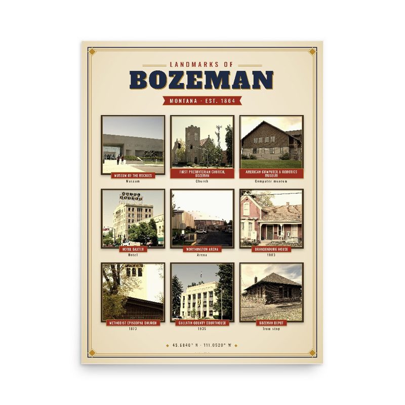


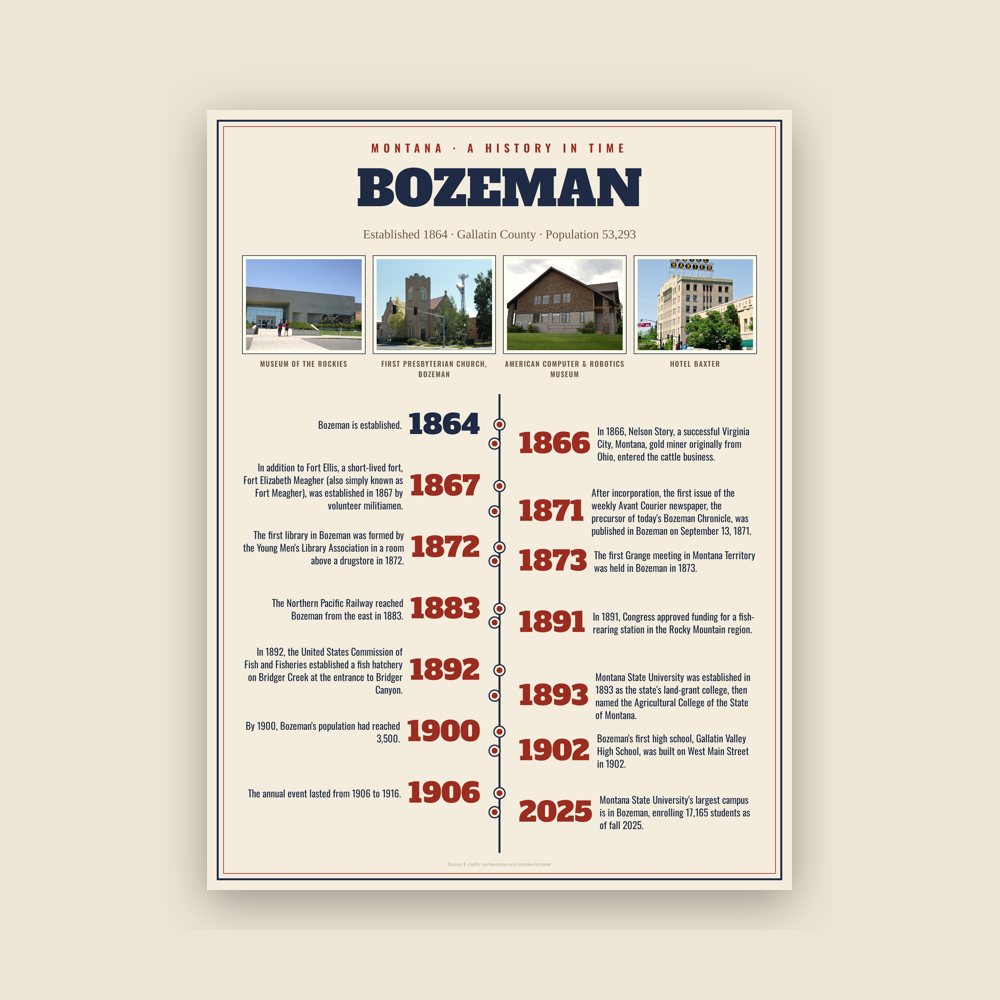
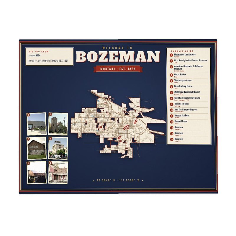











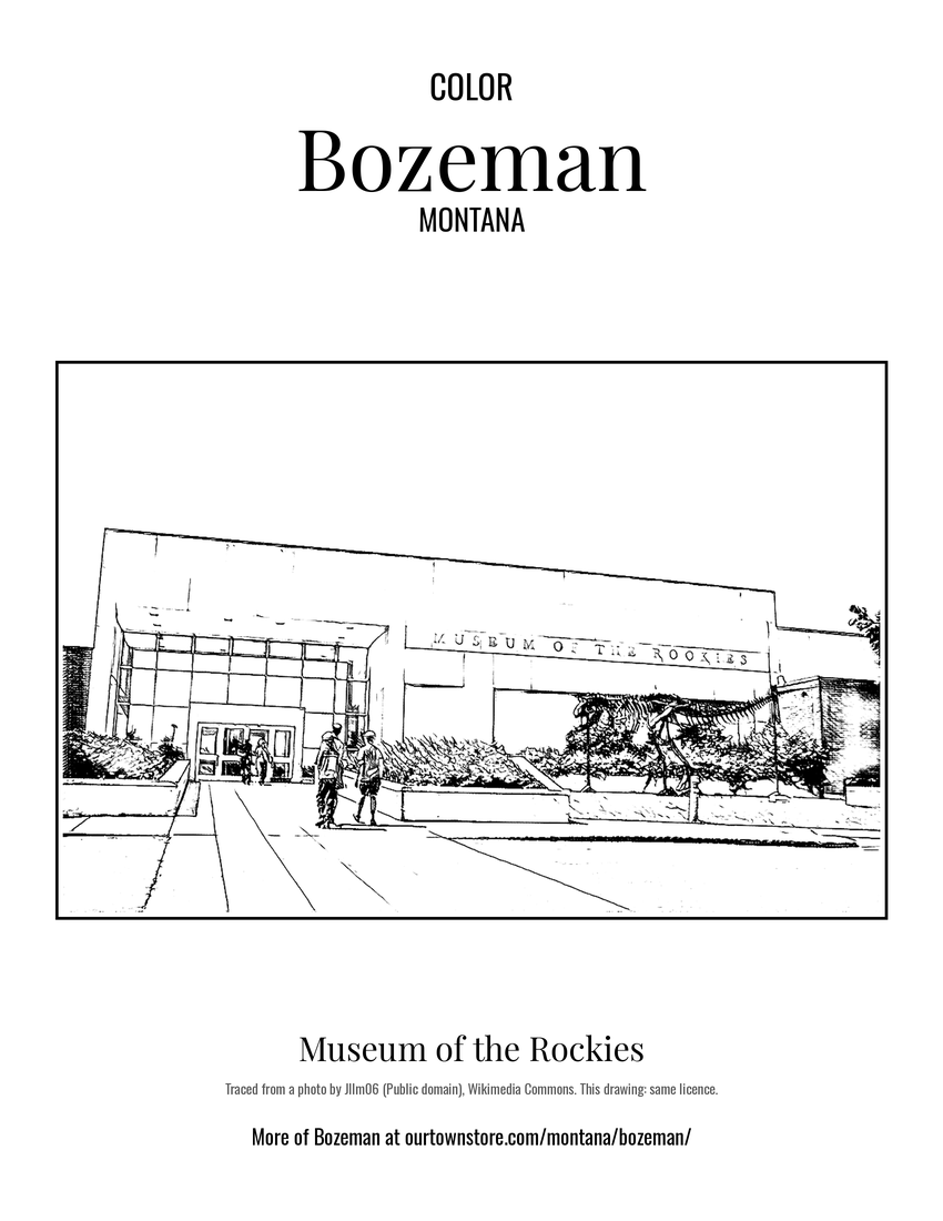 Museum of the Rockies
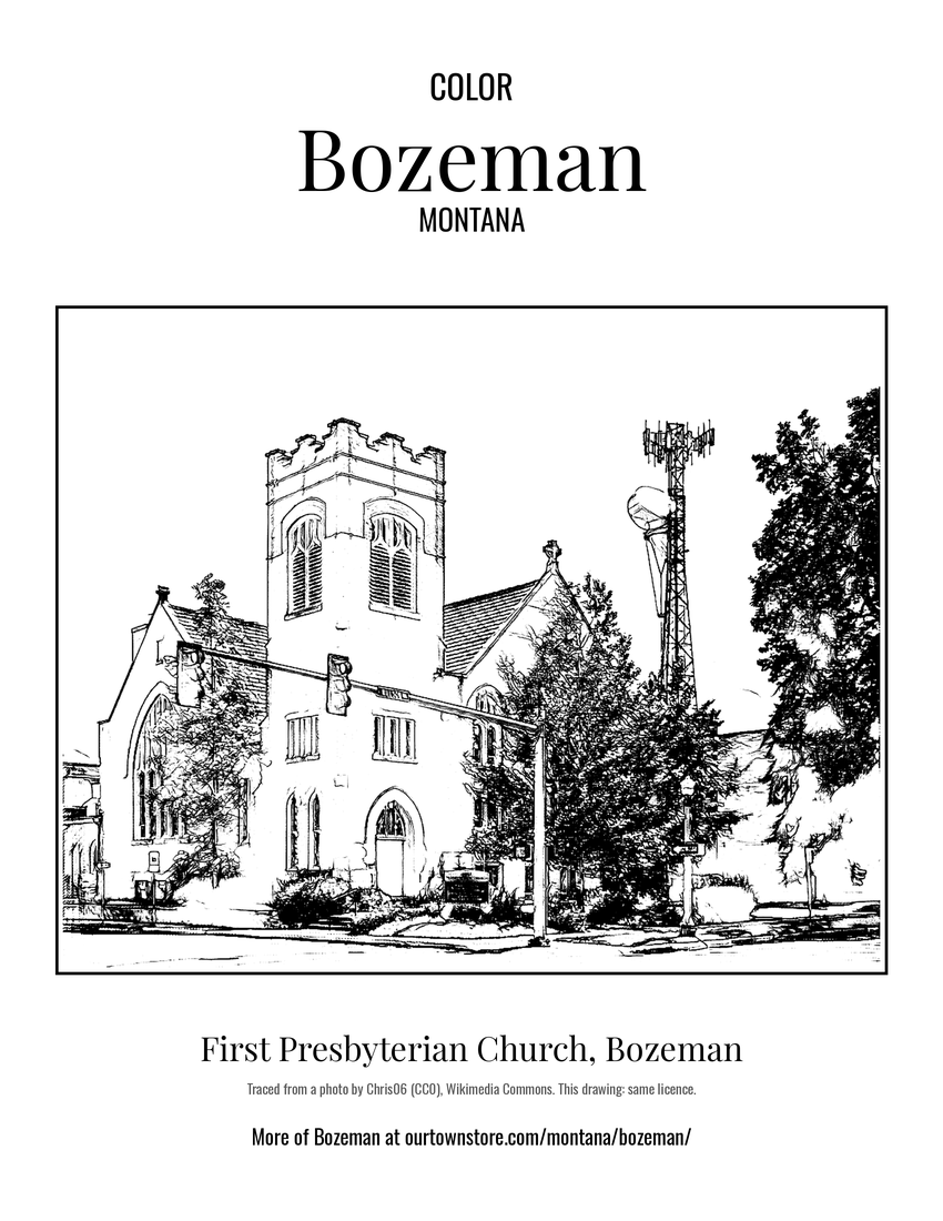 First Presbyterian Church, Bozeman
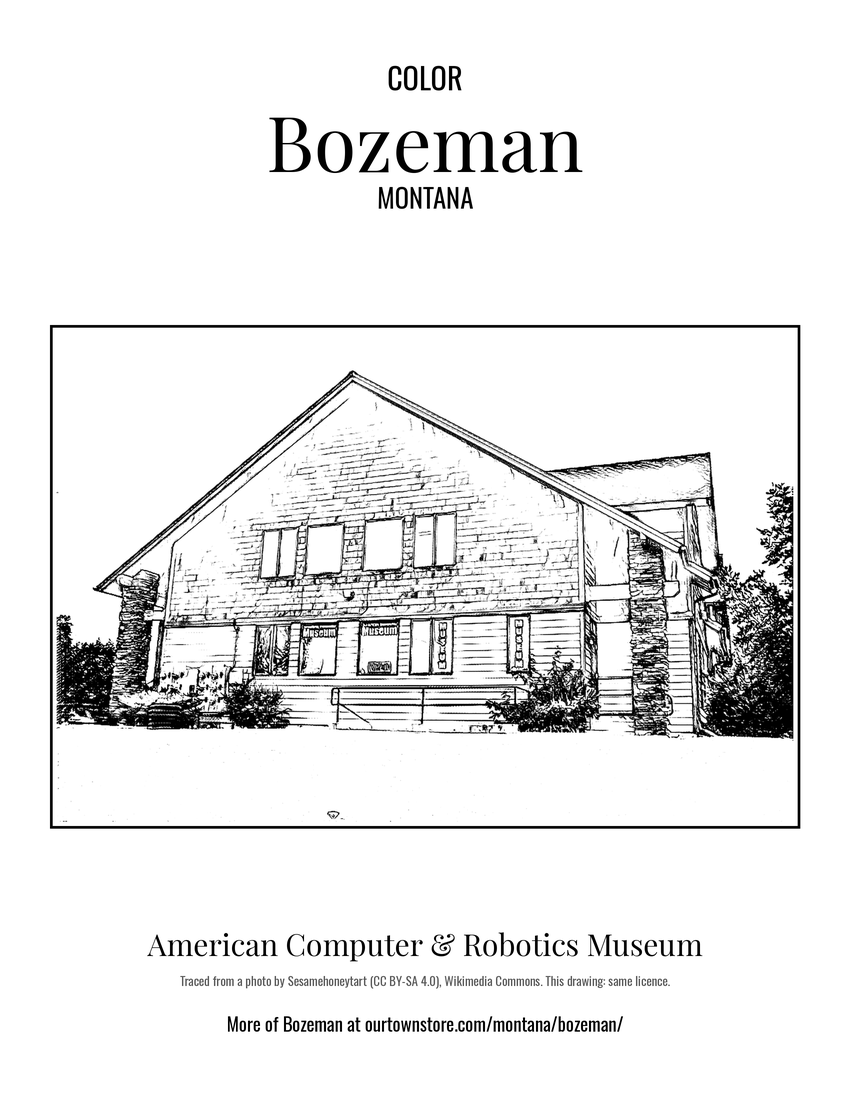 American Computer & Robotics Museum
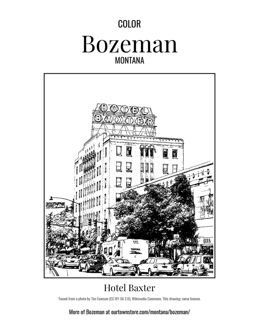 Hotel Baxter