A short history of Olivette
Olivette was settled in the mid-19th century as a small farming community along an old Indian trail originally called the Bonhomme Road (now known as Old Bonhomme, which meets and essentially turns into Olive Boulevard). Olive Road is a ridge road and at one time served as a de facto boundary for housing segregation in outer St. Louis.
The first brick schoolhouse in St. Louis County was built in the 1850s at the corner of Price and Old Bonhomme in Olivette. Logos High School is built on the former grounds of the schoolhouse.
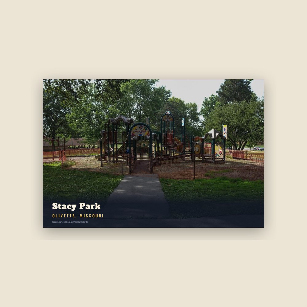
In the 1920s, the city of St. Louis decided to build a water reservoir in Olivette since it was one of the highest points in St. Louis County. The reservoir was built at Brock's Pond, a local recreational spot, and finished in 1926. Stacy Park was formed around the reservoir and is now the largest park in Olivette.
Olivette was incorporated in 1930 by combining the communities of Central, Tower Hill, Olive, and Stratmann. Prior to merging, the area was known as Central due to its centralized location along the Central Plank Road (again, now called Olive Boulevard). In fact, Price Road and Olive Boulevard intersect at the exact midpoint between the Port of St. Louis on the Mississippi River and Howell's Landing on the Missouri River. Central was a high traffic stop for wagons to restock on their journey between the two stops.
Olivette is one of the few communities in St. Louis County that maintains their own municipal fire department and police department.
Adapted (trimmed) from the Wikipedia article Olivette, Missouri, revision 1378577657 by its contributors, licensed CC BY-SA 4.0.
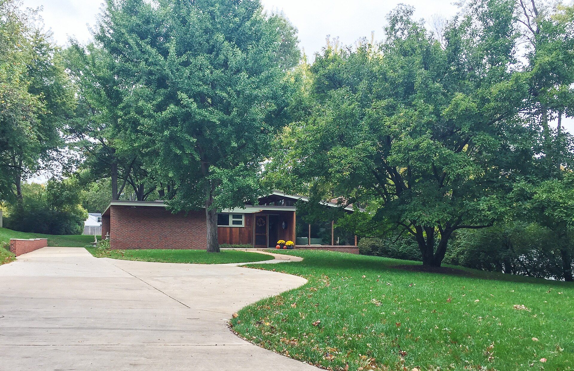
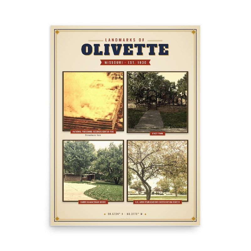

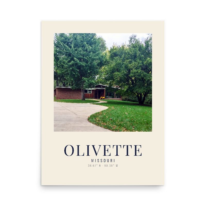


















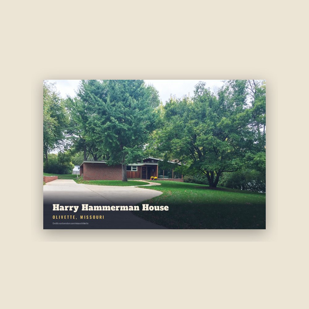
 Harry Hammerman House
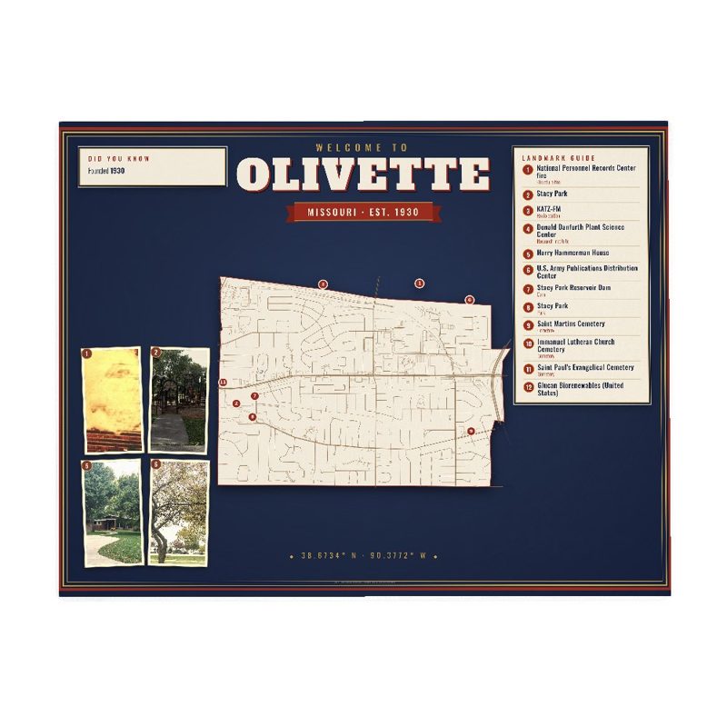
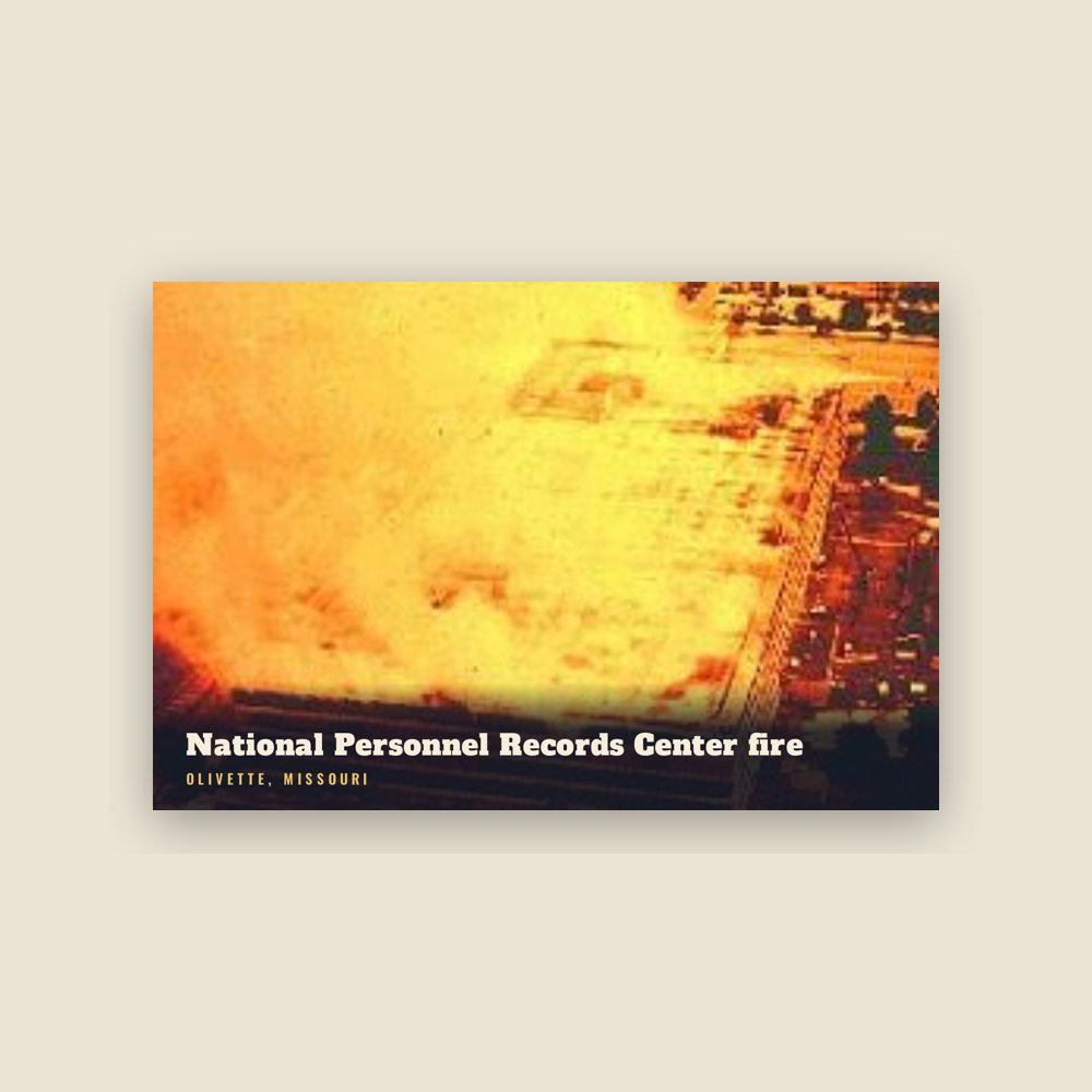
 National Personnel Records Center fire
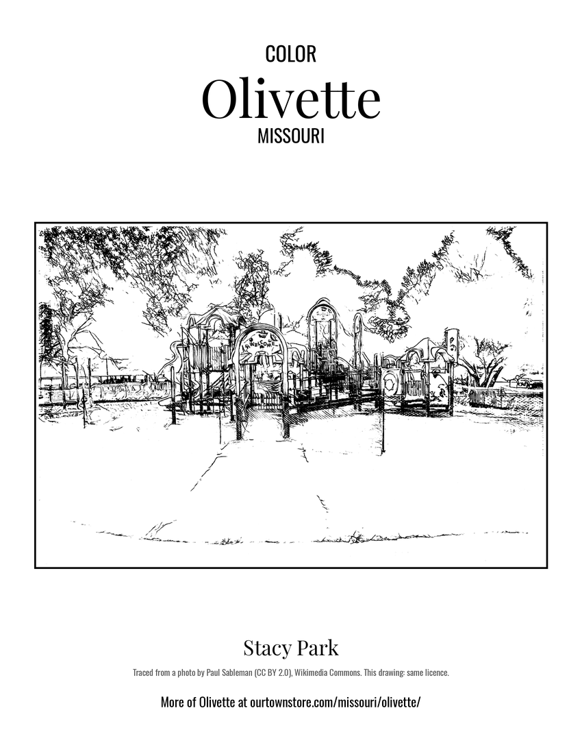 Stacy Park
 U.S. Army Publications Distribution Center