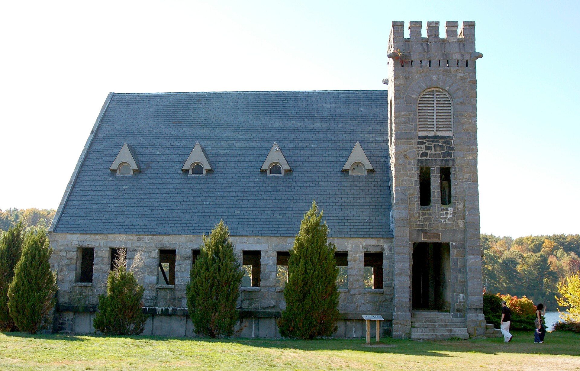
West Boylston includes the village of Oakdale, located on the opposite side of the Wachusett Reservoir from West Boylston center along Route 140. Landmarks include Quabbin Aqueduct, Old Stone Church and Oakdale Village Historic District. West Boylston is the birthplace of Jill Lepore, historian.
Every piece is drawn from West Boylston's own map data and historic archives, then printed and shipped from the USA when you order. No two towns look alike.
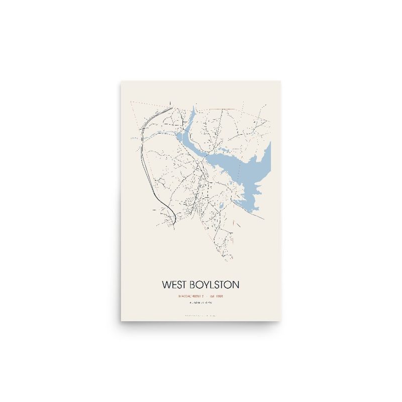
Every road in town, on archival matte paper
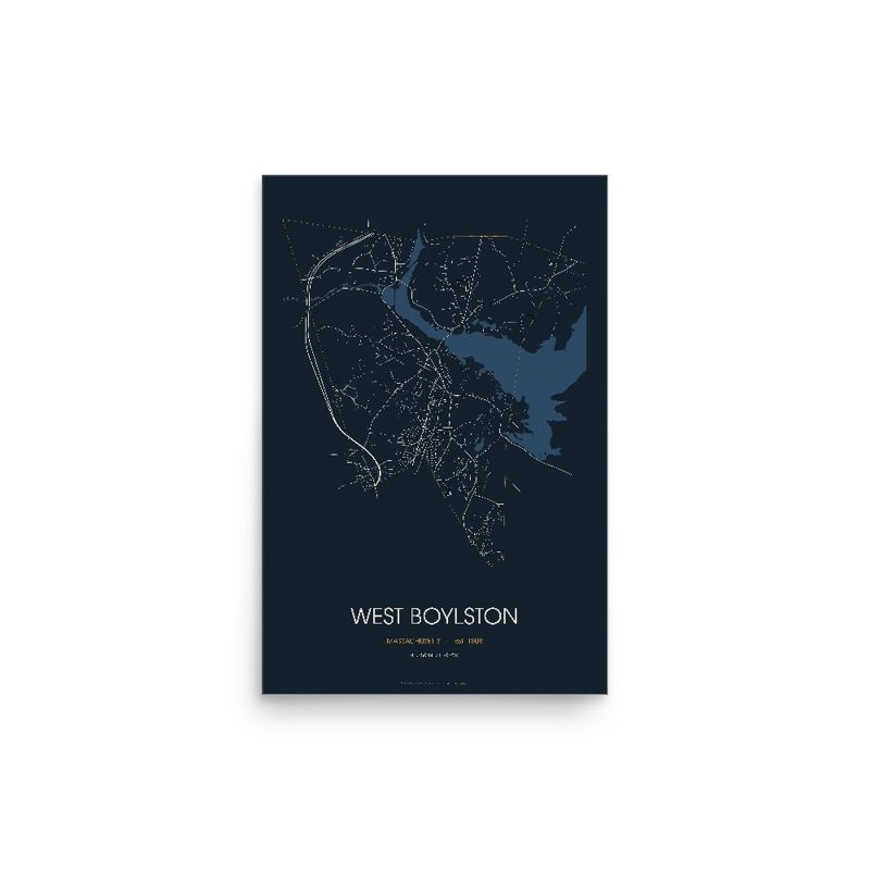
The same map, in navy and silver
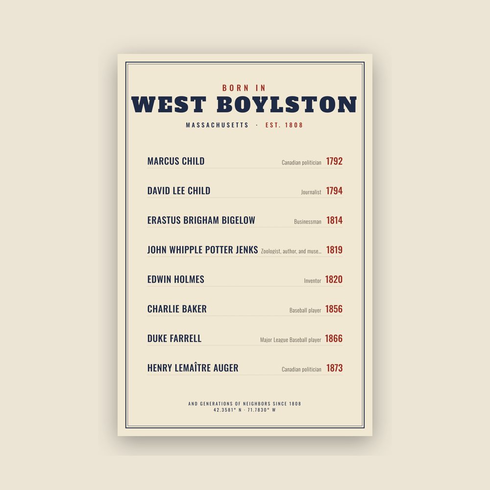
Famous natives, by birth year
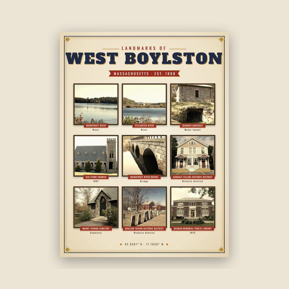
Nine local landmarks, archival matte
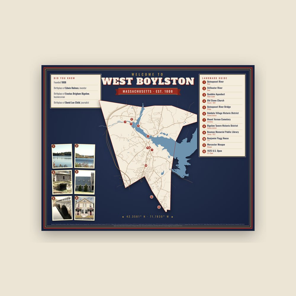
Map of local landmarks, washable fabric
Heavy-blend fleece, street map printed on the back
Soft Bella+Canvas jersey
Glossy ceramic, dishwasher safe
Ceramic keepsake, gold ribbon
Weatherproof, for the front walk
24″×16″, printed coir-look fibers, rubber back
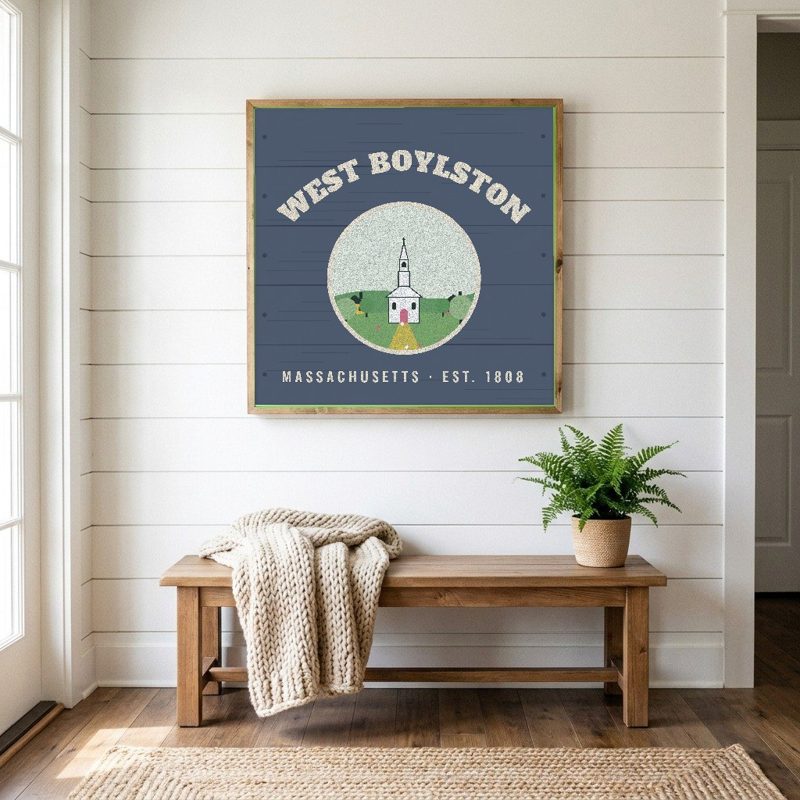
12″×12″ printed wood, ready to hang
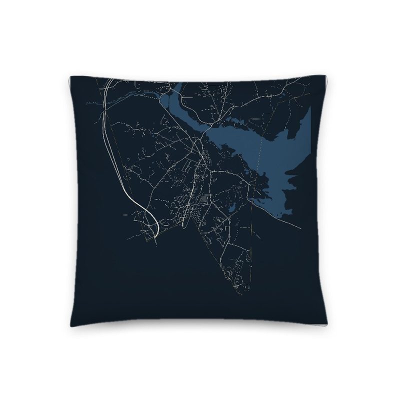
Soft-touch, zip cover
Sturdy all-over-print tote
Glossy top, cork back
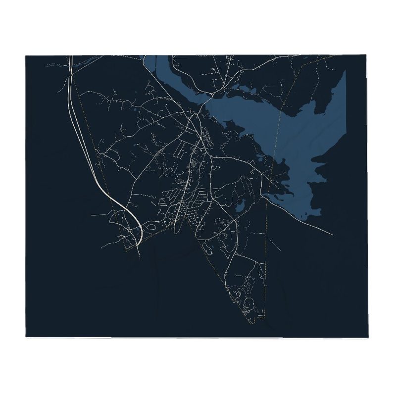
Soft fleece, 50″×60″
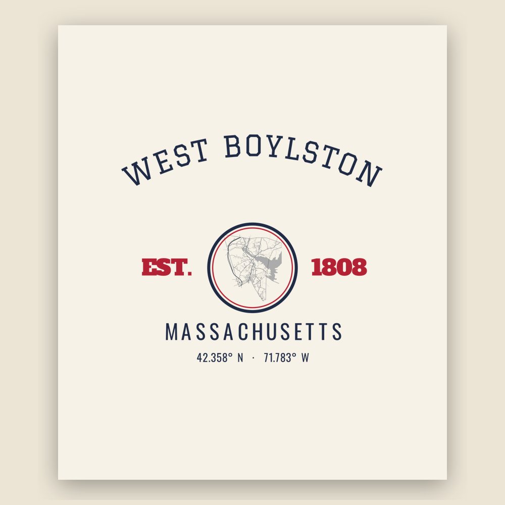
20 oz, double-wall stainless
Population 2010: 7,669 → 2020: 7,877
From Wikidata (CC0).
West Boylston was originally part of several neighboring towns—Lancaster, Shrewsbury, Boylston, Holden and Sterling. The town was created as part of a dispute between Boylston and West Boylston over the location of a new town meeting house. The town was officially incorporated in 1808.
During the 1800s the town grew with textile and other industries and became a prosperous community. This prosperity was interrupted as the town was selected as the site of the Wachusett Reservoir to provide water for Boston. It was selected due to its location at the junction of three rivers: the Quinapoxet River, the Stillwater River and the Nashua River. In 1897, the Nashua River in the town of Clinton was impounded by the Wachusett Dam, causing 6.5 square miles (17 km2) to be flooded in the towns of Boylston, West Boylston, Clinton and Sterling. Over 2,200 acres (8.9 km2) of West Boylston's land was used for the reservoir, the most of any town. This disrupted the center of town and most of the industrial base. Many buildings were moved to the unaffected parts of the town but the majority were demolished and filled by the reservoir. Over 1700 residents, 300 homes, eight schools, six mills, four churches and one hotel were moved to dry land. The state paid approximately 60 cents on the dollar for use of the land with the promise to pay $12,000 a year to the town for lost tax revenue forever. The reservoir was completed in 1905 and first filled in May 1908. West Boylston's prominent landmark, the Old Stone Church, was left remaining as a reminder of those that lost their homes and jobs to the building of the reservoir. It is one of the most photographed sites in the area.
Today, West Boylston has transformed itself into a bedroom community for Worcester and the surrounding region. Due to the reservoir, the town has been able to preserve much of its rural character, making it an attractive place for recreation and living.
West Boylston's most famous historical resident is Robert Bailey Thomas, the founder of the Old Farmer's Almanac. Harry Stubbs, who later wrote science fiction as Hal Clement, taught science at Major Edwards High School for two years in the late 1940s.
Adapted (trimmed) from the Wikipedia article West Boylston, Massachusetts, revision 1378270198 by its contributors, licensed CC BY-SA 4.0.
We share a part of every West Boylston sale with local partners, and we'd love to print from your collection. Old photographs, maps and postcards make the best keepsakes.
Partner with us