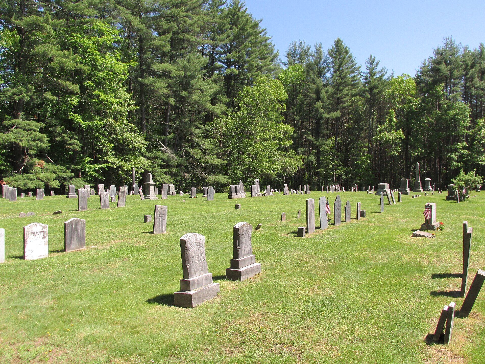
Shutesbury was colonized in 1735, when it was called Road Town, because the original request by colonists to Boston was to build a road in a roadless area. Landmarks include East Leverett Cemetery. Shutesbury is the birthplace of Herbert Baxter Adams, educator and historian.
Every piece is drawn from Shutesbury's own map data and historic archives, then printed and shipped from the USA when you order. No two towns look alike.
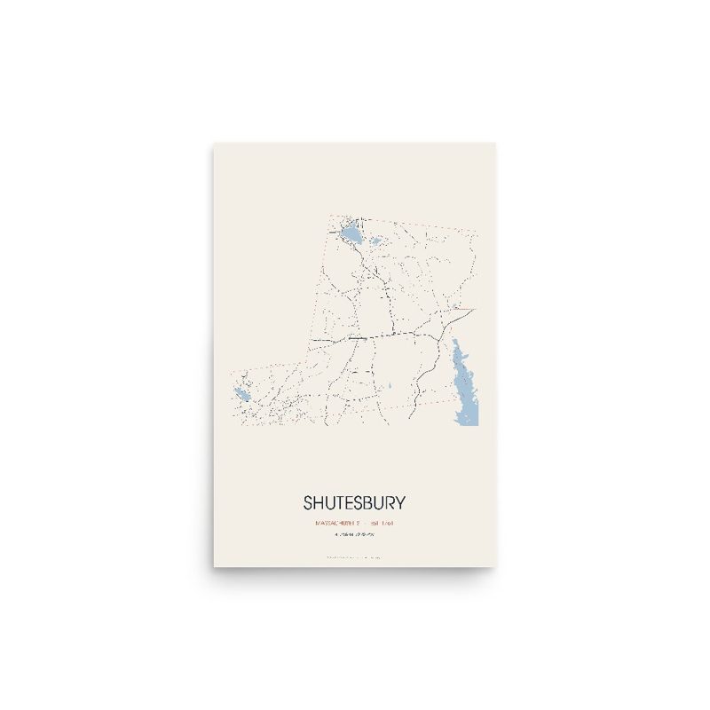
Every road in town, on archival matte paper
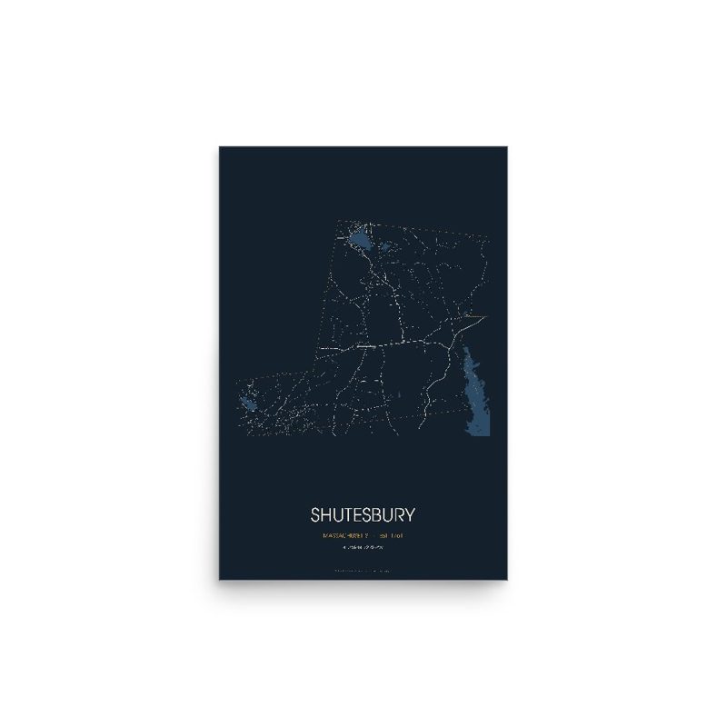
The same map, in navy and silver
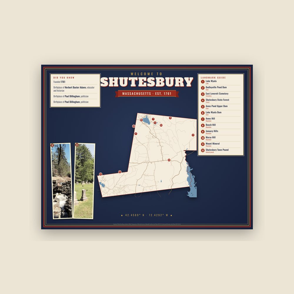
Map of local landmarks, washable fabric
Heavy-blend fleece, street map printed on the back
Soft Bella+Canvas jersey
Glossy ceramic, dishwasher safe
Ceramic keepsake, gold ribbon
Weatherproof, for the front walk
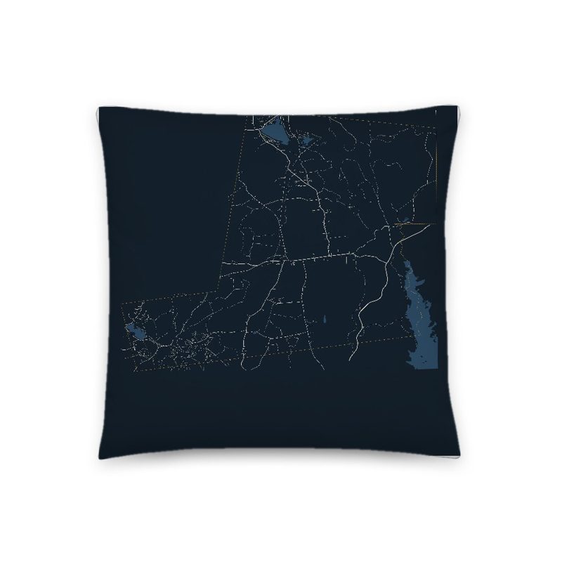
Soft-touch, zip cover
Sturdy all-over-print tote
Glossy top, cork back
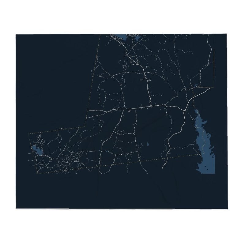
Soft fleece, 50″×60″
20 oz, double-wall stainless
Population 2010: 1,771 → 2010: 1,800 → 2020: 1,717
From Wikidata (CC0).
For at least 2,000 years, Nipmuc towns along the Towanucksett and Quinneticut Rivers called the area covering what are now South Shutesbury, NE Amherst and parts of Pelham "Sanakkamak", meaning "difficult land", according to the Indian Land Archives of Springfield (1660–1835), now housed at Cornell University. According to the same archives (pages 31–33), the land was named Sanakkamak "on accord of its many ponds, swamps, and streams" leading to steep slopes of Kunckquatchu (Mount Toby) and Quaquatchu (Brushy Mountain). The northern parts of Shutesbury, as well as parts of Belchertown and Pelham along the former Swift River (now Quabbin Reservoir), were called "Kingyiwngwalak", meaning "Upturned land" due to the heavily titled bedrock of the area and many steep ravines draining to the east and south (Indian Land Archives of Springfield, Cornell Univ.).
Indian Land Deed Archives record that the land was used for hunting, fishing and collecting wild staples, such as chestnuts, hopniss (Indian potato, Apios americana), blackberries, blueberries, service berries, sunflower root, and for cutting timber. Sachems holding rights to the land in Shutesbury specifically inserted a clause in the deeds that "they, their descendants and assigns retain the right to hunt, fish and take wood from the lands they have thus deeded, and the English shall not prohibit them from taking wood and fish, and shall be friendly and neighborly toward them" (edited for modern spelling).
Shutesbury was colonized in 1735, when it was called Road Town, because the original request by colonists to Boston was to build a road in a roadless area. Road Town was officially incorporated as Shutesbury in 1761. The town was renamed in honor of Samuel Shute, former governor. Town building requirements initially required each colonist family to clear four acres of forest and plant grazing grasses. After the Revolution, the entire area and most of Massachusetts were clear-cut and sheep grazing predominated during the brief textiles boom, which was overshadowed by wool production in the West, Australia, and New Zealand (Massachusetts Historical Preservation Commission publication online). Only after the Civil War period was the area largely reforested. Croplands have shrunk steadily in the period since then, being the most at-risk land category in the Town Master Plan. Post-1960, croplands in Shutesbury saw sharp reduction, while residential has remained the fastest-growing land use type since. Forest cover is the second largest sector of land use loss since 1960 and remains so, after croplands. Population has risen since 1960, with several short periods of population loss.
The December 2008 New England ice storm (December 11–12, 2008) coated trees throughout Massachusetts with a 1⁄2-inch to 1-inch thick layer of ice. Tree limbs came crashing down on power lines, houses, and cars. The state of Massachusetts declared a state of emergency. Power was out in Shutesbury for up to ten days. The estimated cost of cleaning up ranged from $50,000 to $100,000. The National Guard was called in to help with cleanup. The parts of town along Wendell Road and Pelham Hill Road suffered the most fallen trees.
Shutesbury is home to a planned community based on historic Baker's Farm. Many residents choose Shutesbury for its rural character, and work hard to preserve that character, partly resulting in an extensive Town Master Plan. Shutesbury is one of a very few towns that enjoys actual night darkness, having forgone street lighting. Most of the eastern third of the town is part of the Quabbin Reservation, with significantly large parcels also composing Shutesbury State Forest. As well, there is currently a proposal to place an additional 2,000 acres of private forestry land into conservation management.
The Boston Globe ran a story in 2005 describing Shutesbury and its neighboring town, Leverett, as one of "America's Broadband Black Holes". In 2017 Massachusetts Governor Charlie Baker announced grant funding for high speed broadband in several towns, including Shutesbury. Shutesbury Town Library not only lends members books, films and videos, but also lends kayaks, life vests, and paddles for use at Lake Wyola.
The M.N. Spear Library was erected in 1902 and was very small—768 square feet total—and could not provide modern amenities such as running water. A 2012 attempt to pass a ballot measure funding erection of a new library for the town resulted in an electoral tie, defeated on appeal. A total of $233,232.93 in personal pledges and grants were raised to kickstart the effort. Finally, in 2022, a Small Library Pilot Project grant awarded Shutesbury $3.95 million to construct the new library, and at Town Meeting that year an additional $2.44 million of town funding was allocated to the project. Construction on the new library began on August 2, 2024.The new library—given the name Shutesbury Public Library—had its grand opening on January 10, 2026.
Adapted (trimmed) from the Wikipedia article Shutesbury, Massachusetts, revision 1379551650 by its contributors, licensed CC BY-SA 4.0.
We share a part of every Shutesbury sale with local partners, and we'd love to print from your collection. Old photographs, maps and postcards make the best keepsakes.
Partner with us