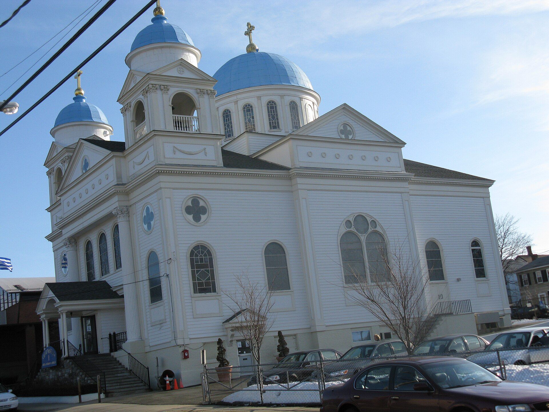
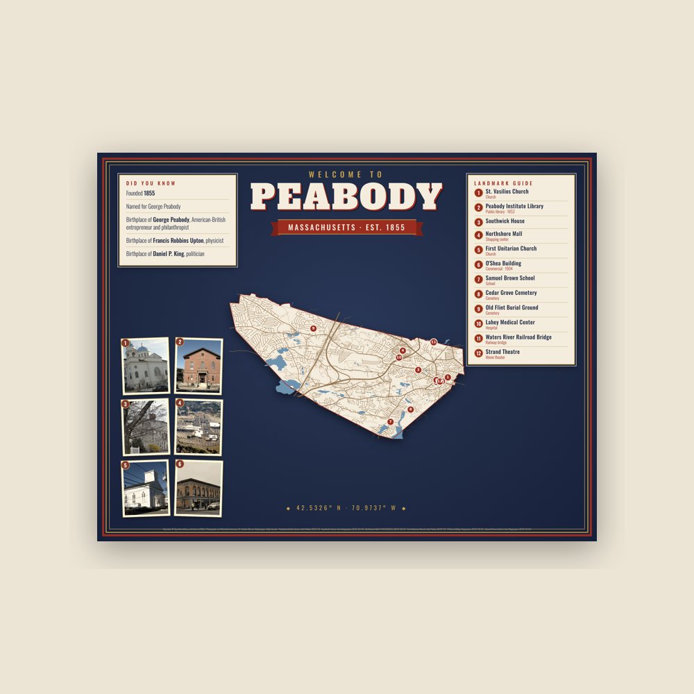
Peabody started off as a farming community, but its rivers and streams attracted mills which operated by water power. Landmarks include St. Vasilios Church, Peabody Institute Library and Southwick House. Peabody is the birthplace of Jack Welch, executive: General Electric CEO.
Every piece is drawn from Peabody's own map data and historic archives, then printed and shipped from the USA when you order. No two towns look alike.
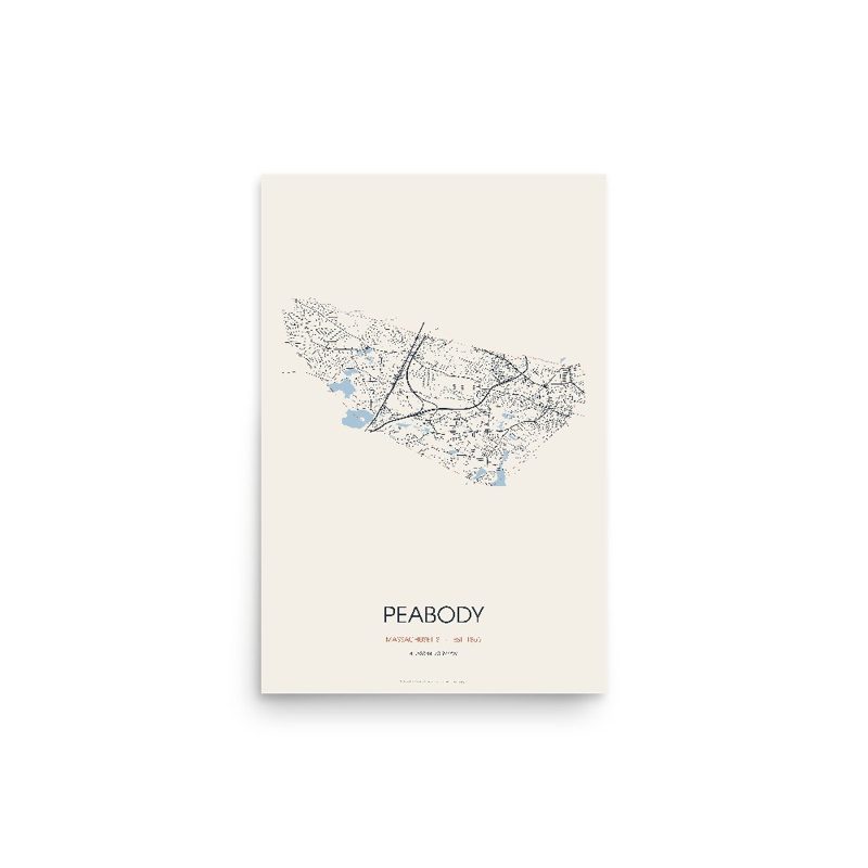
Every road in town, on archival matte paper
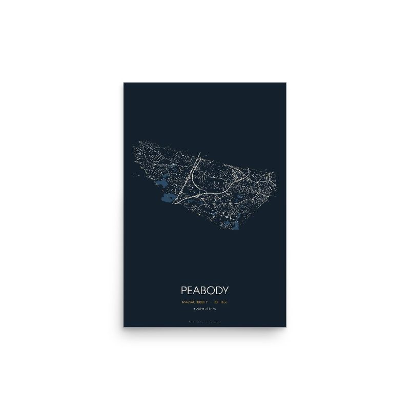
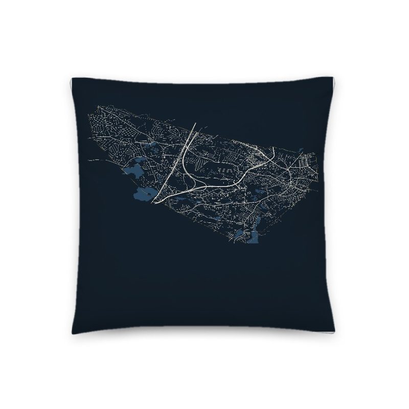
The same map, in navy and silver
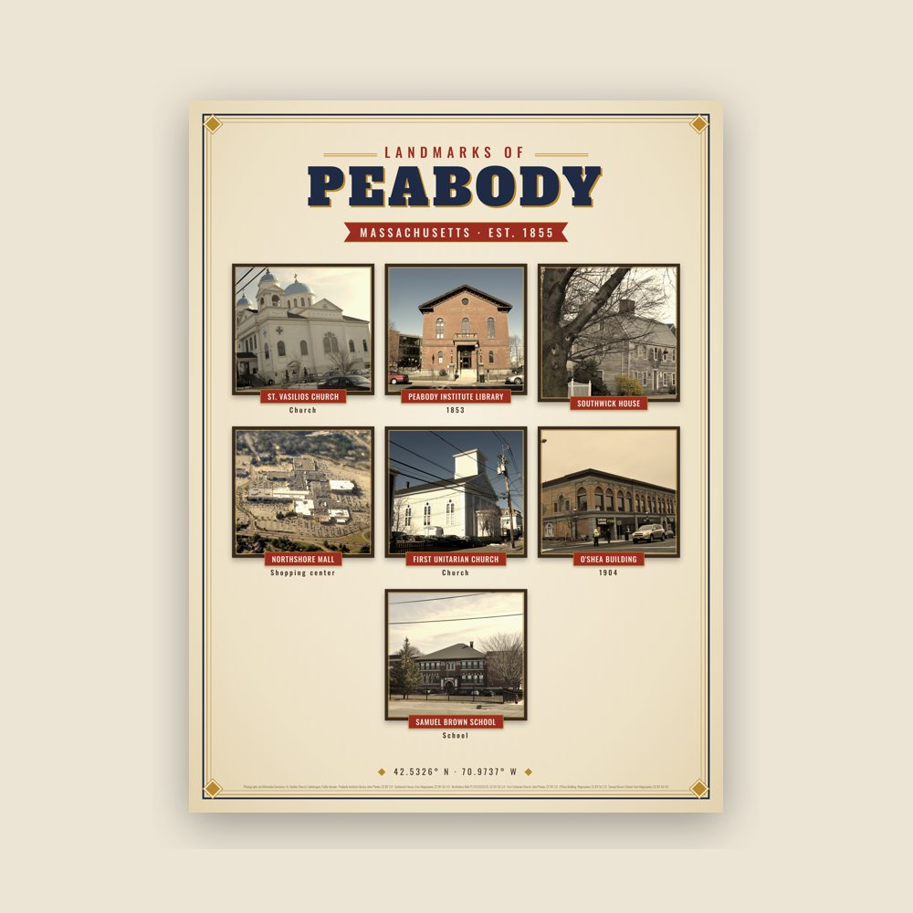
Nine local landmarks, archival matte
Map of local landmarks, washable fabric
Heavy-blend fleece, street map printed on the back
Soft Bella+Canvas jersey
Glossy ceramic, dishwasher safe
Ceramic keepsake, gold ribbon
Weatherproof, for the front walk
Soft-touch, zip cover
Sturdy all-over-print tote
Glossy top, cork back
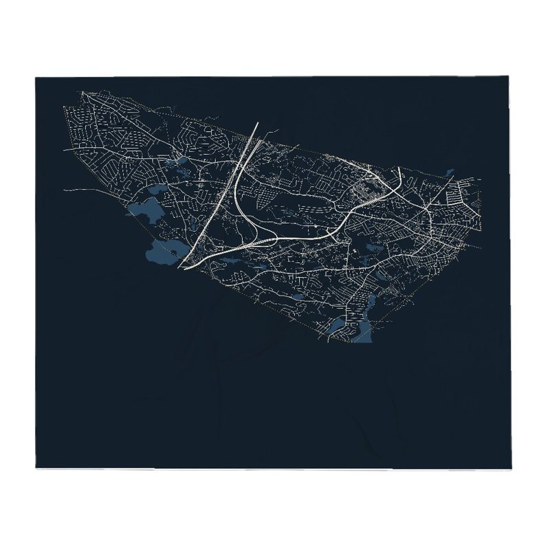
Soft fleece, 50″×60″
20 oz, double-wall stainless
Named for George Peabody (American-British entrepreneur and philanthropist (1795–1869)).
Population 2010: 51,251 → 2014: 52,376 → 2020: 54,481
From Wikidata (CC0).
The area was settled as part of Salem in 1626 by a small group of English colonists from Cape Ann led by Roger Conant. It was subsequently referred to as the Northfields, Salem Farms, and Brooksby. Several area residents were accused of witchcraft during the Salem witch trials of the late 17th century, three of whom were executed (John Proctor, Giles Corey, and Martha Corey).
In 1752, the area was set off from Salem, and incorporated as a district of Danvers. It was referred to as "the South Parish", associated with a church located in present-day Peabody Square. In 1855, the community broke away from Danvers, and was incorporated as the independent town of South Danvers. The name was changed to Peabody on April 30, 1868, in honor of George Peabody, noted philanthropist born in present-day Peabody, widely regarded as the "father of modern philanthropy". It was granted city status in 1916. The western, less densely populated area of town is often separately, yet unofficially, referred to as West Peabody.
Peabody started off as a farming community, but its rivers and streams attracted mills which operated by water power. During the 18th-century, Peabody's Central Street corridor was a hub of pottery manufacturing, especially redware. In particular, Peabody was a major center of New England's leather industry, which attracted immigrants from all around the world.
By 1915, one-third of the population had been born outside the United States. In addition to becoming home to large Irish and Russian populations, Peabody developed a large community of laborers hailing from the Ottoman Empire, mostly Turkish and Kurdish speakers from the region of Harput, now known as Elazığ. The population was situated primarily on Walnut Street, where they filled boarding houses and coffee houses to such an extent that it became known as "Ottoman Street," and, more pejoratively and less accurately, "Peabody's Barbary Coast", as the United States was at war with the Ottoman Empire during World War I. One visitor even noted that signs in town were written in both English and Ottoman Turkish.
The tanneries that lined Peabody's "Ottoman Street" remained a linchpin of the city's economy into the second half of the 20th century. The tanneries have since closed or been relocated elsewhere, but the city remains known locally as the Leather City or Tanner City. The mascot of Peabody Veterans Memorial High School is named the Tanners.
The loss of the tanneries was a huge blow to Peabody's economy, but the city has made up for the erosion of its industrial base, at least in part, through other forms of economic development. Early in the 20th century, Peabody joined the automobile revolution, hosting the pioneer Brass Era company, Corwin Manufacturing.
The Northshore Mall, originally known as the Northshore Shopping Center, is one of the region's largest shopping malls. The mall opened in September 1958 as an outdoor shopping center, and was built on farm land originally owned by Elias Hasket Derby, one of America's first millionaires. Centennial Park, an industrial park in the center of the city, has attracted several medical and technology companies. West Peabody, which was mostly farm land until the 1950s, has been developed into a middle-to-upper class residential area. Brooksby Farm, a 275-acre (1.11 km2) working farm and conservation area has been one of the city's most popular destinations for decades.
Adapted (trimmed) from the Wikipedia article Peabody, Massachusetts, revision 1377357996 by its contributors, licensed CC BY-SA 4.0.
We share a part of every Peabody sale with local partners, and we'd love to print from your collection. Old photographs, maps and postcards make the best keepsakes.
Partner with us