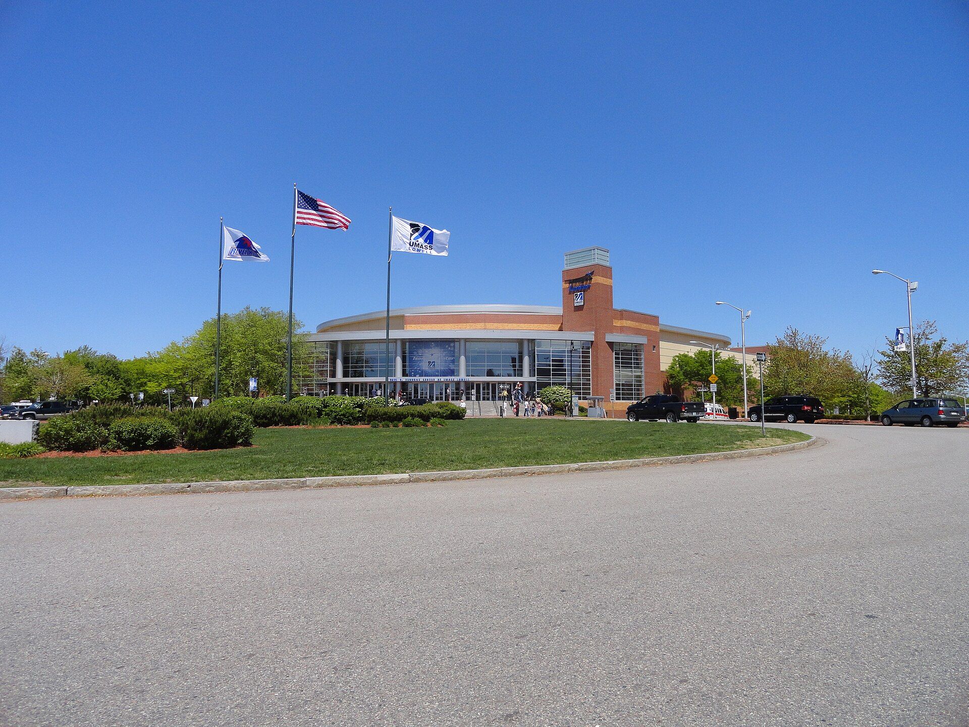
The city is also part of a smaller Massachusetts statistical area, called Greater Lowell, and of New England's Merrimack Valley region. Landmarks include Tsongas Center, Whistler House Museum of Art and St. Patrick's Church. Lowell is the birthplace of Bette Davis, actress.
Every piece is drawn from Lowell's own map data and historic archives, then printed and shipped from the USA when you order. No two towns look alike.
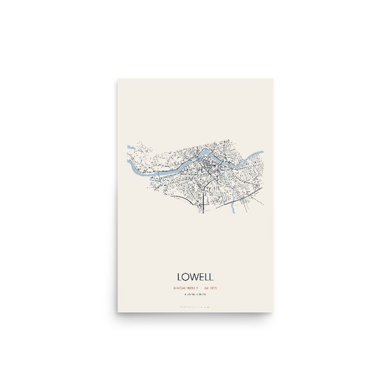
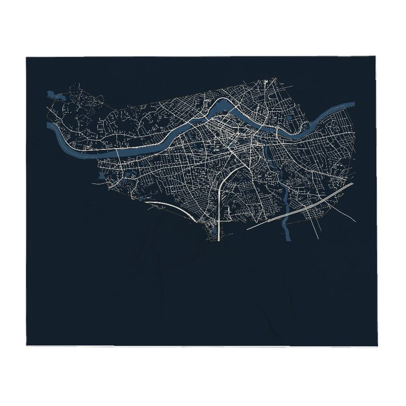
Every road in town, on archival matte paper
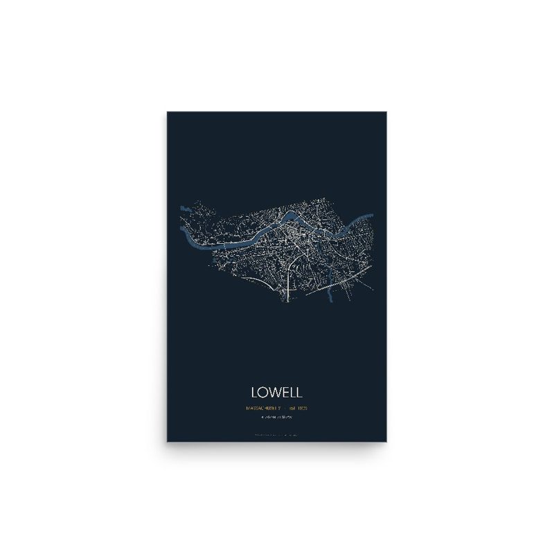
The same map, in navy and silver
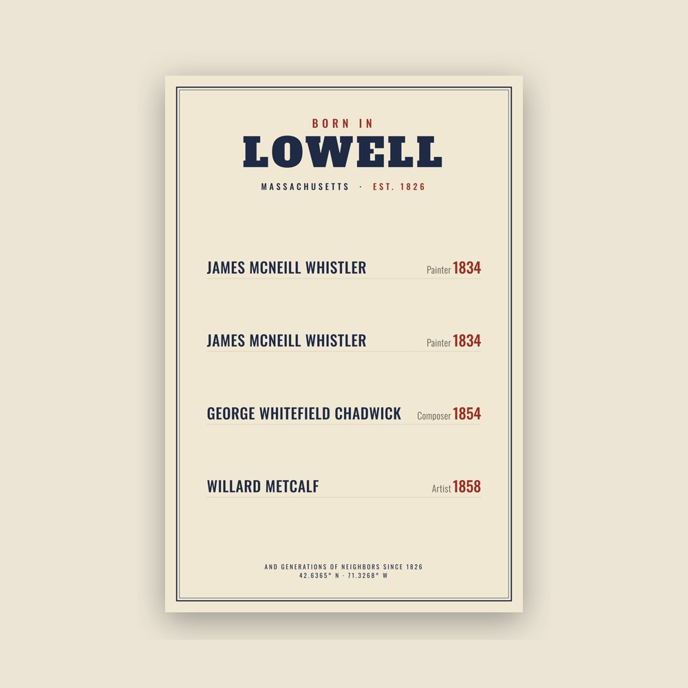
Famous natives, by birth year
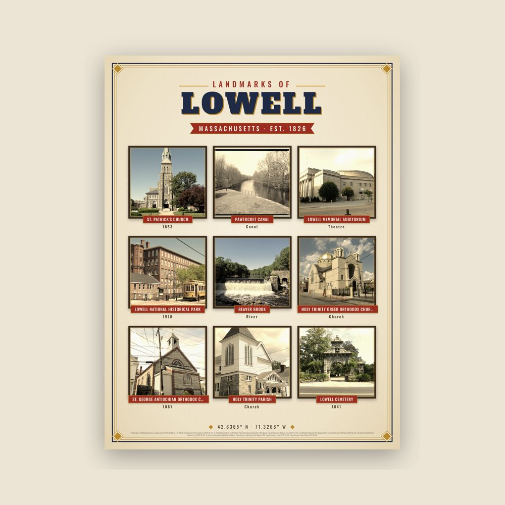
Nine local landmarks, archival matte
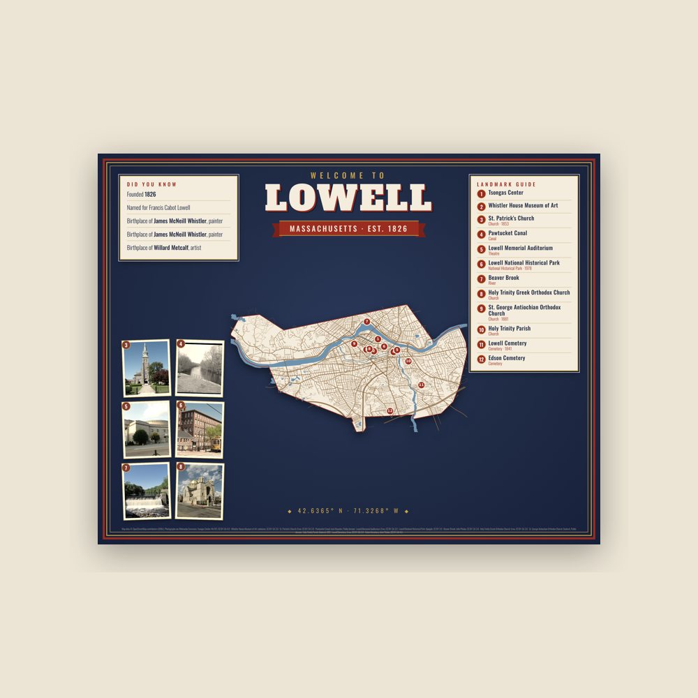
Map of local landmarks, washable fabric
Heavy-blend fleece, street map printed on the back
Soft Bella+Canvas jersey
Glossy ceramic, dishwasher safe
Ceramic keepsake, gold ribbon
Weatherproof, for the front walk
Soft-touch, zip cover
Sturdy all-over-print tote
Glossy top, cork back
Soft fleece, 50″×60″
20 oz, double-wall stainless
Named for Francis Cabot Lowell (American businessman for whom the city of Lowell, Massachusetts is named (1775-1817)).
Population 2014: 109,945 → 2020: 115,554 → 2021: 113,994 → http: 109,945
From Wikidata (CC0).
The Pawtucket Falls, which provided the hydropower for Lowell's industry in the 1800s, also served as an important seasonal fishing site for native people at the time of European colonization in the 1600s. The Pawtucket people are named for this location, literally meaning "at the falls" in Massachusett.
In the mid-1600s, English efforts to convert native people to Christianity led to the founding of the "praying town" of Wamesit at the confluence of the Concord and Merrimack Rivers in what is today Lowell, however the Christian population of Wamesit was reckoned at only 75 people just prior to King Phillip's War, which significantly altered relations between English colonists and indigenous groups in New England, and led to the abandonment of many praying towns. By the 1800s, the area that would become Lowell was part of the farming community of East Chelmsford, Massachusetts.
Founded in the 1820s as a planned manufacturing center for textiles, Lowell is located along the rapids of the Merrimack River, 25 miles (40 km) northwest of Boston in what used to be a farming community called East Chelmsford, Massachusetts. The so-called Boston Associates, including Nathan Appleton and Patrick Tracy Jackson of the Boston Manufacturing Company, named the new mill town after their visionary leader, Francis Cabot Lowell, who had died five years before its 1823 incorporation. As Lowell's population grew, it acquired land from neighboring towns, and diversified into a full-fledged urban center. Many of the men who composed the labor force for constructing the canals and factories had immigrated from Ireland, escaping the poverty and Great Famine of the 1830s and 1840s. The mill workers, young single women called Mill Girls, generally came from the farm families of New England.
By the 1850s, Lowell had the largest industrial complex in the United States. The textile industry wove cotton produced in the Southern United States. In 1860, there were more cotton spindles in Lowell than in all eleven states combined that would form the Confederate States of America. Many of the coarse cottons produced in Lowell eventually returned to the South to clothe enslaved people, and, according to historian Sven Beckert, "'Lowell' became the generic term slaves used to describe coarse cottons." The city continued to thrive as a major industrial center during the 19th century, attracting more migrant workers and immigrants to its mills. Next were the Catholic Germans, followed by a large influx of French Canadians during the 1870s and 1880s. Later waves of immigrants came to work in Lowell and settled in ethnic neighborhoods, with the city's population reaching almost 50% foreign-born by 1900. By the time World War I broke out in Europe, the city had reached its economic peak.
In 1922, it was affected by the 1922 New England Textile Strike, shutting down the mills in the city over an attempted wage cut.
The Mill Cities' manufacturing base declined as companies began to relocate to the South in the 1920s. The city fell into hard times, and was even referred to as a "depressed industrial desert" by Harper's Magazine in 1931, as the Great Depression worsened. At this time, more than one third of its population was "on relief" (government assistance), as only three of its major textile corporations remained active. Several years later, the mills were reactivated, making parachutes and other military necessities for World War II. However, this economic boost was short-lived and the post-war years saw the last textile plants close.
In the 1970s, Lowell became part of the Massachusetts Miracle, being the headquarters of Wang Laboratories. At the same time, in part because many immigrants fled from Cambodia due to the genocide committed by the Khmer Rouge, Lowell became home to thousands of new immigrants, bolstering its population and workforce. The city continued to rebound, but this time, focusing more on culture. The former mill district along the river was partially restored and became part of the Lowell National Historical Park, founded in the late 1970s.
Although Wang went bankrupt in 1992, the city continued its cultural focus by hosting the nation's largest free folk festival, the Lowell Folk Festival, as well as many other cultural events. This effort began to attract other companies and families back to the urban center. Additional historic manufacturing and commercial buildings were adapted as residential units and office space. By the 1990s, Lowell had built a new ballpark and arena, which became home to two minor league sports teams, the Lowell Devils and Lowell Spinners. The city also began to have a larger student population. The University of Massachusetts Lowell and Middlesex Community College expanded their programs and enrollment. During the period of time when Lowell was part of the Massachusetts Miracle, the Lowell City Development Authority created a Comprehensive Master Plan which included recommendations for zoning adaptations within the city. The city's original zoning code was adopted in 1926 and was significantly revised in 1966 and 2004, with changes included to respond to concerns about overdevelopment.
In 2002, in lieu of updating the Comprehensive Master Plan, more broad changes were recommended so that the land use and development would be consistent with the current master plan. The most significant revision to the 1966 zoning code is the adoption of an inclusion of a transect-based zoning code and some aspects of a form-based code style of zoning that emphasizes urban design elements as a means to ensure that infill development will respect the character of the neighborhood or district in question. By 2004, the recommended zoning changes were unanimously adopted by the City Council and despite numerous changes to the 2004 Zoning Code, it remains the basic framework for resolving zoning issues in Lowell to this day.
The Hamilton Canal District (HCD) is the first district in Lowell in which regulation and development is defined by Form-Based Code (HCD-FBC) and legislated by its own guiding framework consistent to the HCD Master Plan. The HCD is a major redevelopment project that comprises 13 acres of vacant, underutilized land in downtown Lowell abutting former industrial mills. Trinity Financial was elected as the Master Developer to recreate this district with a vision of making a mixed-use neighborhood. Development plans included establishing the HCD as a gateway to downtown Lowell and enhanced connectivity to Gallagher Terminal.
In the 1990s, Lowell had been locally notorious for being a place of high drug trafficking and gang activity, and was the setting for a real life documentary, High on Crack Street: Lost Lives in Lowell. Between the years 1994–1999, crime dropped 50%, which was the highest rate of decrease for any American city with over 100,000 residents.
Within one generation, by 2009, Lowell was ranked as the 139th most dangerous city of over 75,000 residents in the United States, out of 393 communities. Out of Massachusetts cities, nine are larger than 75,000 residents, and Lowell was fifth. For comparison Lowell was still rated safer than Boston (104 of 393), Providence, RI (123), Springfield (51), Lynn (120), Fall River (103), and New Bedford (85), but rated more dangerous than Cambridge (303), Newton (388), Quincy (312), and Worcester (175).
Adapted (trimmed) from the Wikipedia article Lowell, Massachusetts, revision 1378649764 by its contributors, licensed CC BY-SA 4.0.
We share a part of every Lowell sale with local partners, and we'd love to print from your collection. Old photographs, maps and postcards make the best keepsakes.
Partner with us