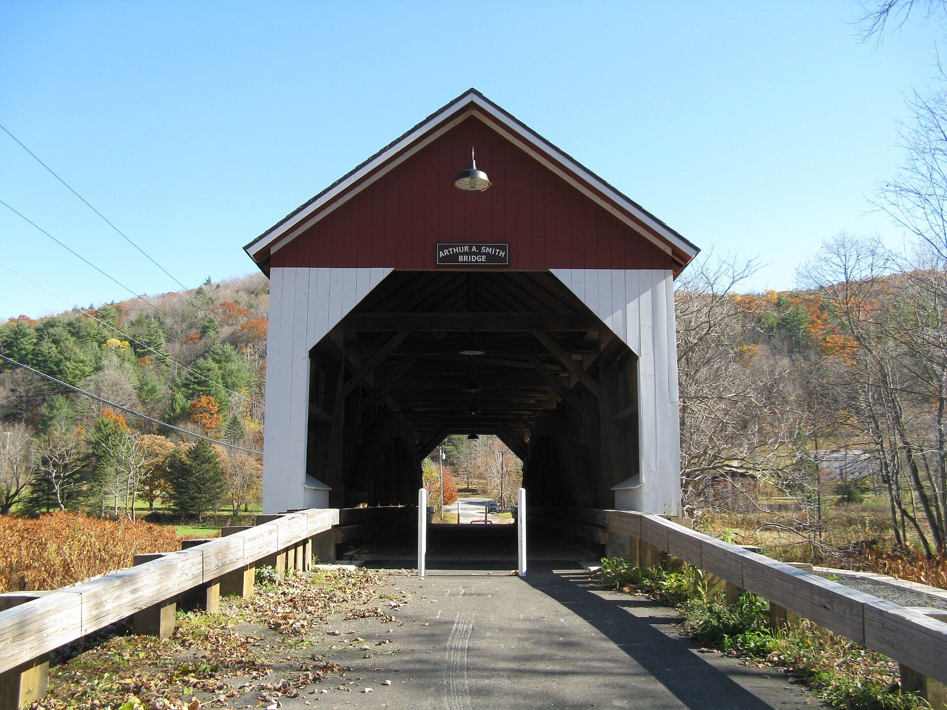
Colrain has nine historic village areas: Elm Grove, Lyonsville, Foundry Village, Shattuckville, Griswoldville, Colrain City, Catamount Hill, Stewartville, and Gimletville. Landmarks include Arthur A. Smith Covered Bridge. Colrain is the birthplace of Elisabeth Bardwell, astronomer.
Every piece is drawn from Colrain's own map data and historic archives, then printed and shipped from the USA when you order. No two towns look alike.
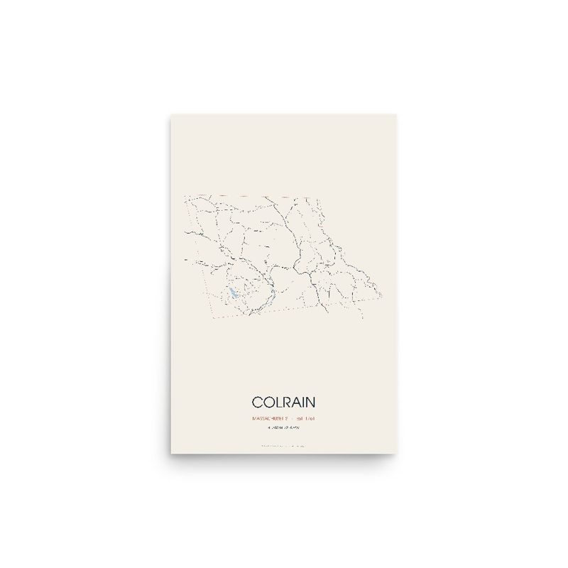
Every road in town, on archival matte paper

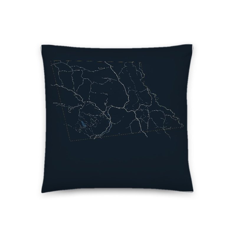
The same map, in navy and silver
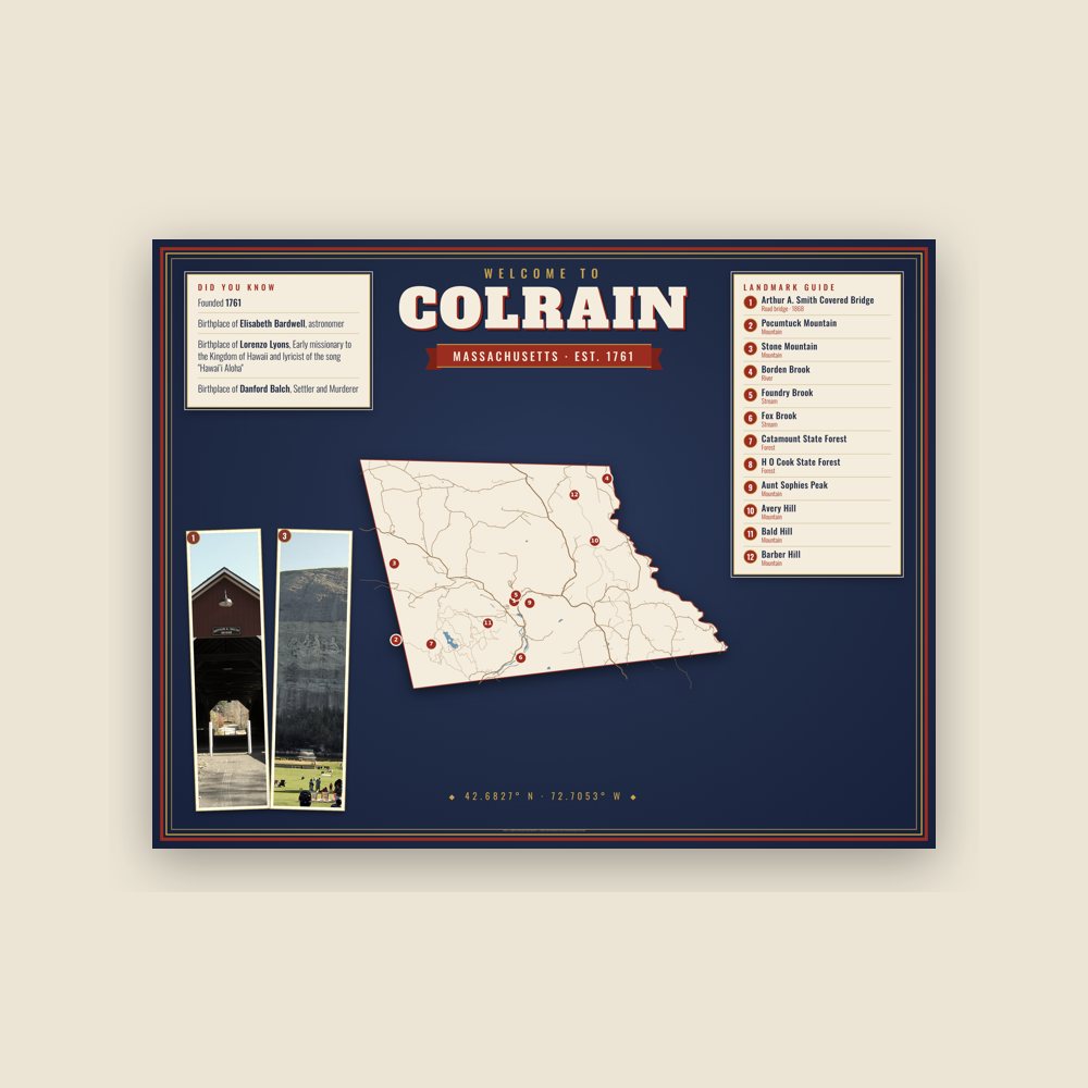
Map of local landmarks, washable fabric
Heavy-blend fleece, street map printed on the back
Soft Bella+Canvas jersey
Glossy ceramic, dishwasher safe
Ceramic keepsake, gold ribbon
Weatherproof, for the front walk
24″×16″, printed coir-look fibers, rubber back
12″×12″ printed wood, ready to hang
Soft-touch, zip cover
Sturdy all-over-print tote
Glossy top, cork back
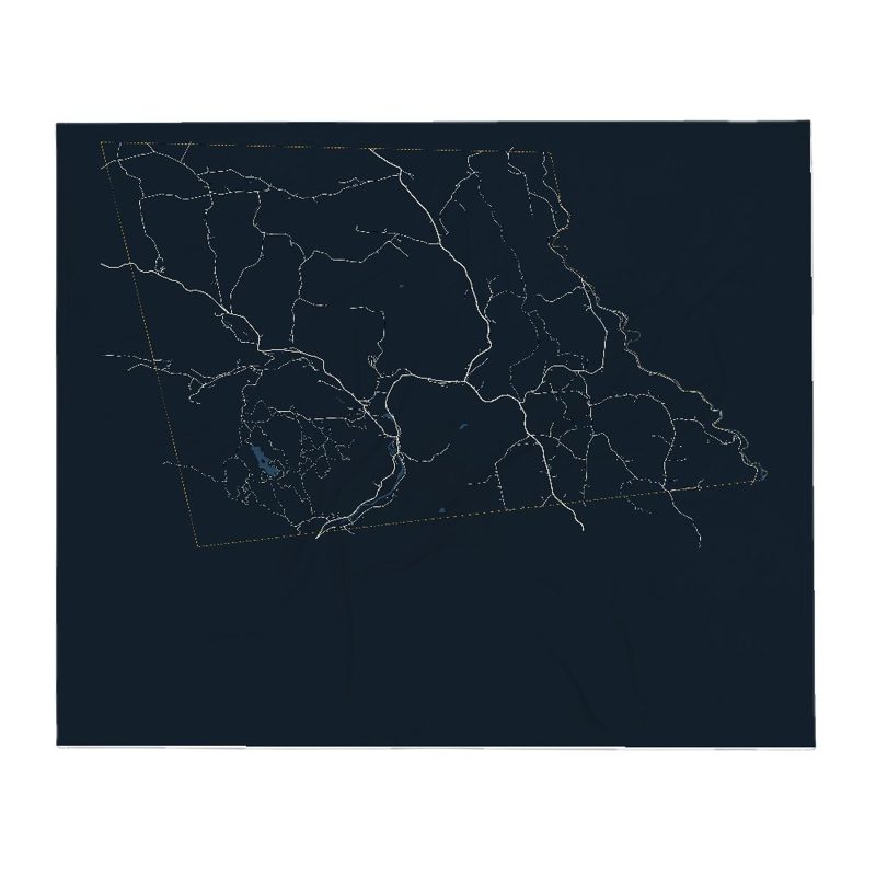
Soft fleece, 50″×60″
20 oz, double-wall stainless
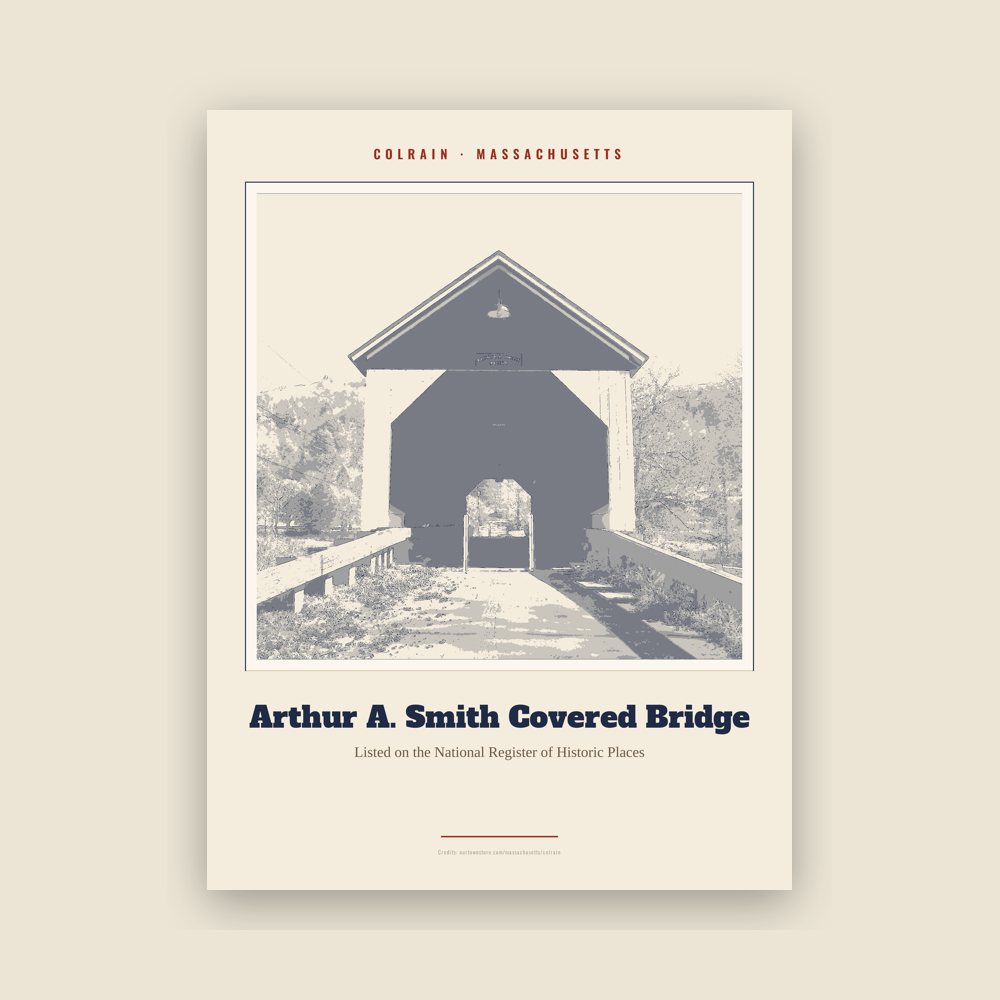
Archival matte print of a local landmark, credited to its photographer
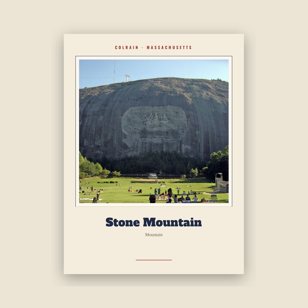
Archival matte print of a local landmark, credited to its photographer
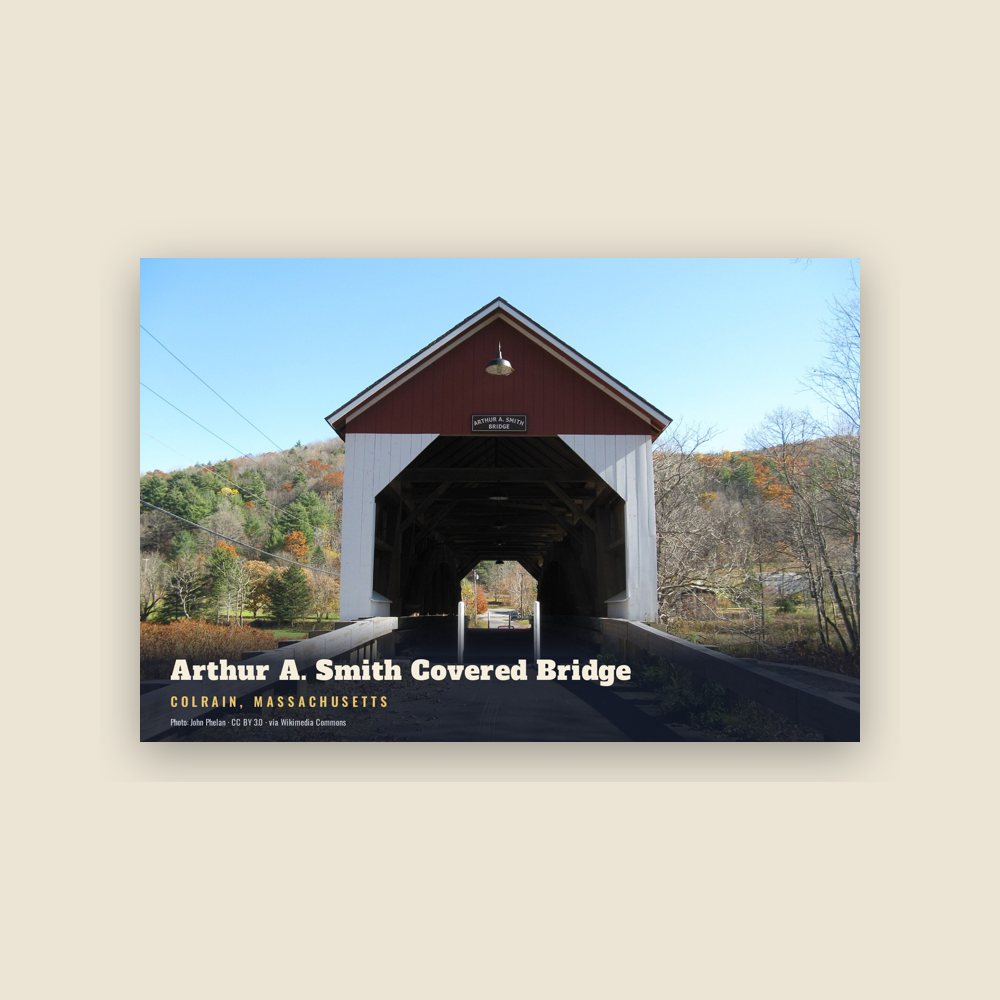
6″×4″ postcard, glossy front
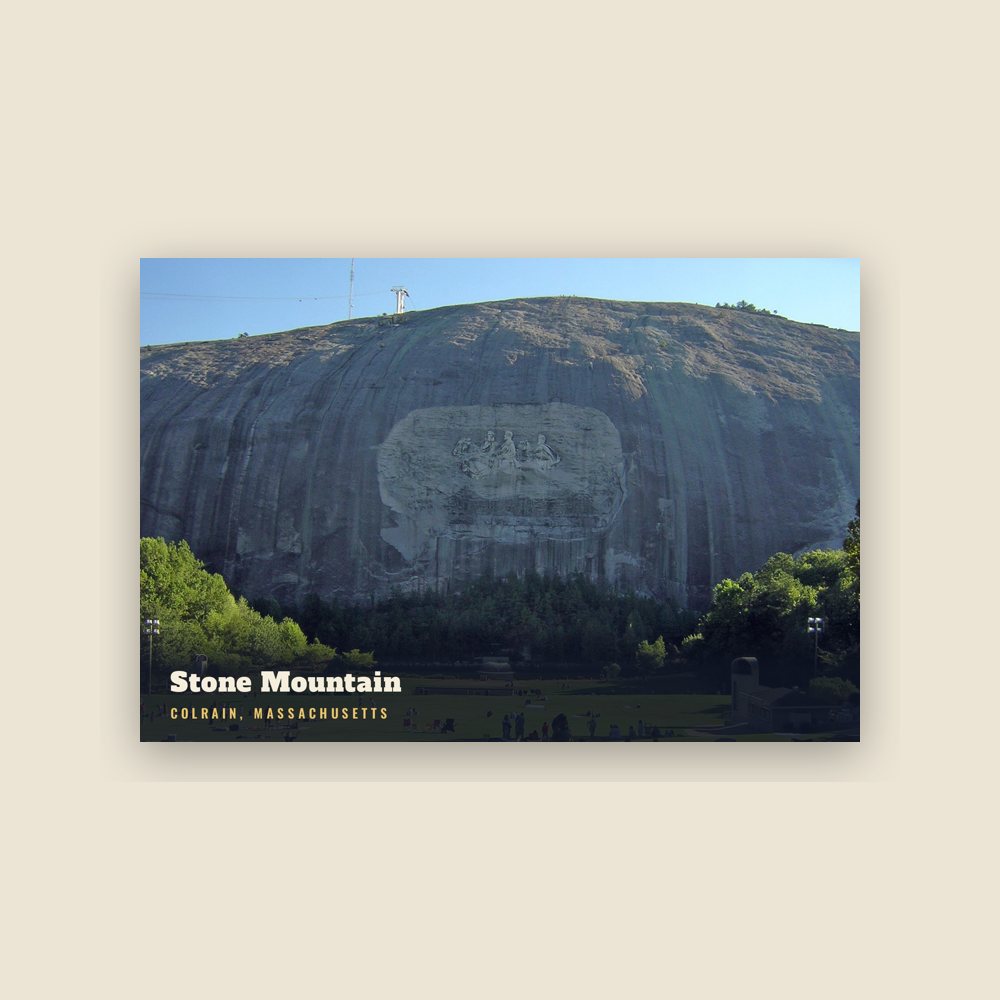
6″×4″ postcard, glossy front
Population 2010: 1,671 → 2020: 1,606
From Wikidata (CC0).
Colrain was first settled in 1735 as "Boston Township No. 2", organized into an independently governing town body in 1745, and was officially incorporated on June 30, 1761.
Although originally named Colrain in 1745, and officially incorporated under that name in 1761, the town spelled its name (and appeared on maps) as "Colraine" for over 112 years until in 1873 the Commonwealth of Massachusetts insisted that the town begin to spell its name as it was officially incorporated.
Colrain has nine historic village areas: Elm Grove, Lyonsville, Foundry Village, Shattuckville, Griswoldville, Colrain City, Catamount Hill, Stewartville, and Gimletville. Much of the town's land area lies outside of these villages.
Colrain City (which constitutes the town center), was originally named as a joke during the mid 19th-century, since the small village was clearly anything but a city. Located in the valley at the base of Chandler Hill, a contemporary satirical poem suggested that the inexplicable grouping of houses was populated by people who had failed to climb the road leading over the hill. The center has remained almost completely unchanged over the last 150 years, and was declared a historic district in 2006.
In May 1812, Colrain was the first town in the United States to fly the U.S. flag over a public schoolhouse. The schoolhouse was located in the hill-top village of Catamount.
Many of the original settlers were immigrants from Ireland and Scotland, and it is said that the town was named in honor of Lord Coleraine, an Irish peer. According to local tradition, Lord Coleraine was so well pleased by this that he sent a fine bell to the townspeople for their new meeting house. Unfortunately, the bell never arrived. Apparently, so the story goes, it was sold by the unscrupulous agent to whom it was entrusted, and was installed in a church in Boston. An alternative claim is that when in transit, the crew of the ship encountered a problem and the ship went down with the bell and was never to be found again.
During the period of King George's War, Colrain was an active military front. Colrain was home to four forts at this time: Fort Morrison (also called "North Fort"), Fort Morris (also called "South Fort"), Fort Lucas (built near the town meeting house on Chandler Hill), and Rev. McDowell's Fort (a private fort built by Rev. Alexander McDowell which included his home). All of these were palisaded garrison houses, and were used as protection against frequent Indian attacks. Forts Lucas and Morrison were garrisoned during the war by the Massachusetts colonial militia, and there is also some evidence that British royal troops used Fort Morrison briefly. After King George's War, colonial troops were withdrawn and the forts were used for local defense until the outbreak of the Seven Years' War in 1754, when the forts were renovated and garrisons of colonial militia were once again installed at Forts Lucas and Morrison, where they would remain for the duration of the nine-year war. This was a source of considerable irritation for the townspeople, who were obligated to house the garrison troops in their homes. At the close of the Seven Years' War in 1763, colonial militia troops were permanently withdrawn, and the era of Colrain's military significance drew to a close. With the end of the French and Indian Wars the danger of Indian attacks was greatly lessened, and the forts were abandoned by the end of the 1760s.
Adapted (trimmed) from the Wikipedia article Colrain, Massachusetts, revision 1377158314 by its contributors, licensed CC BY-SA 4.0.
We share a part of every Colrain sale with local partners, and we'd love to print from your collection. Old photographs, maps and postcards make the best keepsakes.
Partner with us