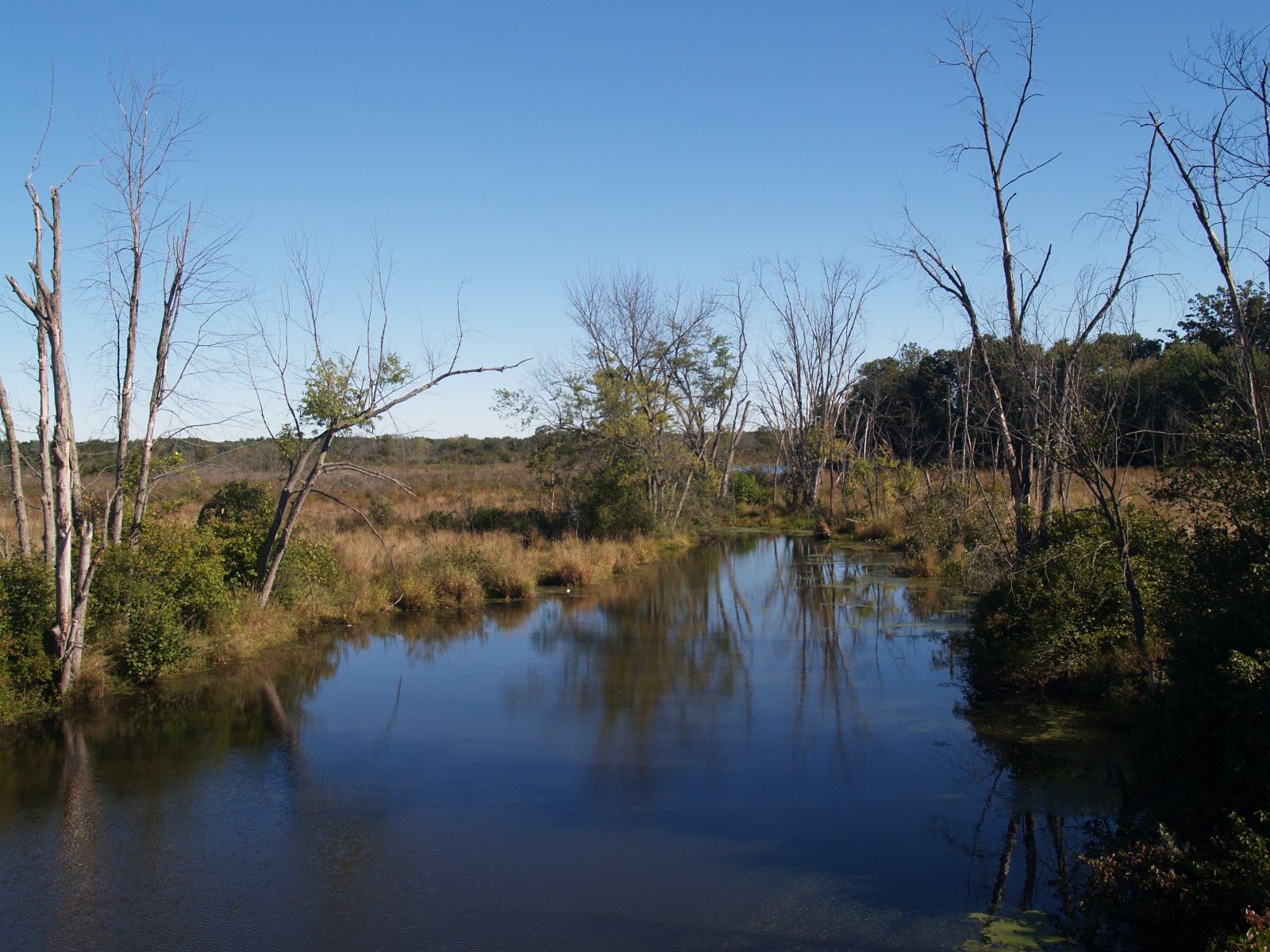
Bolton is in central Massachusetts, located 25 miles west-northwest of downtown Boston along Interstate 495. Landmarks include Bolton Flats Wildlife Management Area, Bolton Public Library and Pan Burying Ground. Bolton is the birthplace of Wilbert Robinson, baseball player and manager.
Every piece is drawn from Bolton's own map data and historic archives, then printed and shipped from the USA when you order. No two towns look alike.
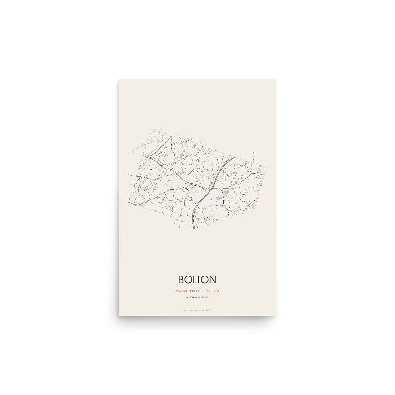
Every road in town, on archival matte paper
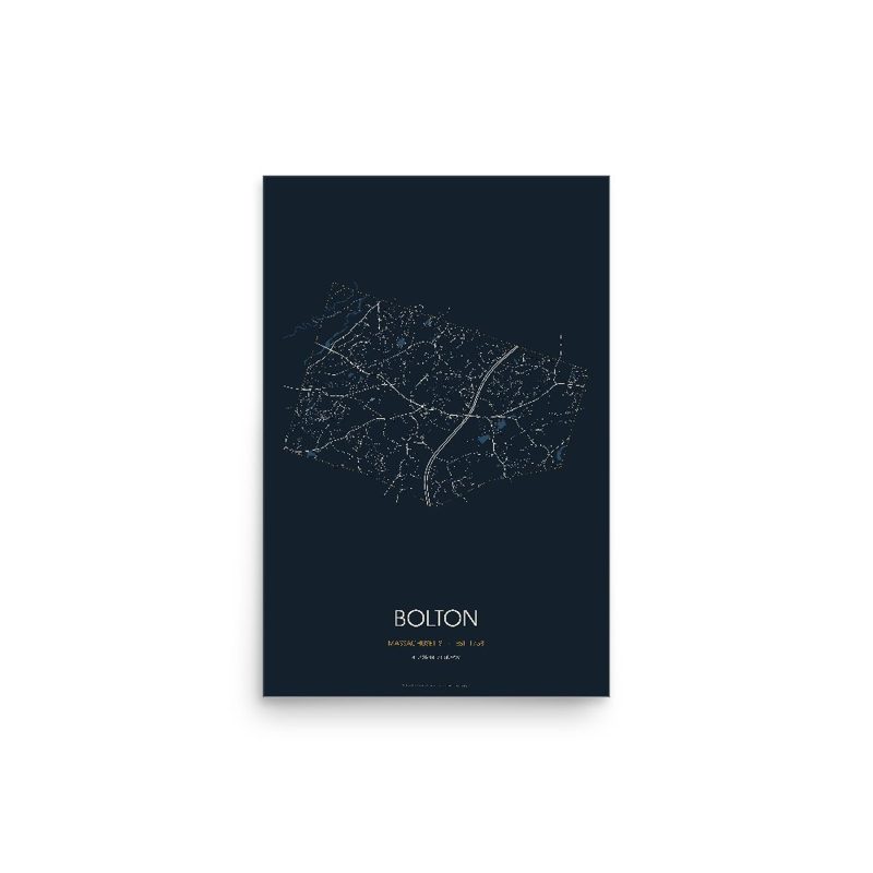
The same map, in navy and silver
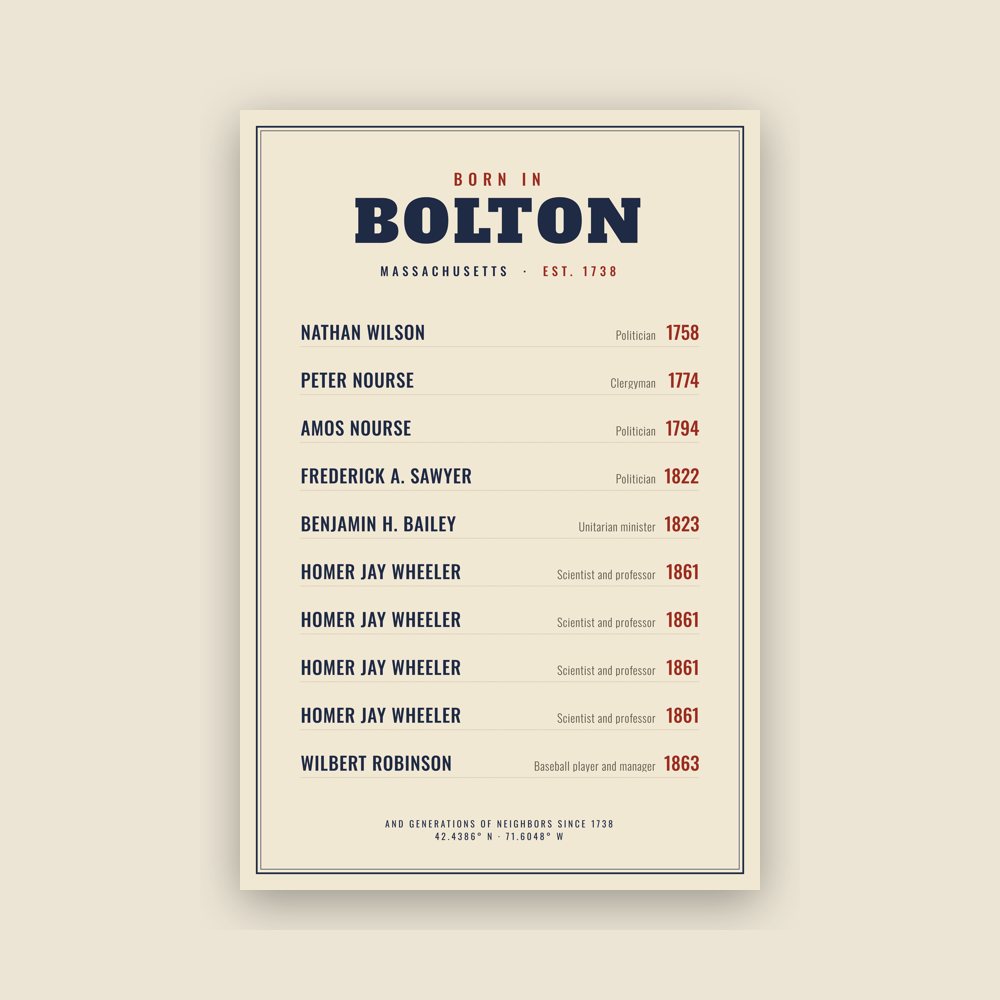
Famous natives, by birth year
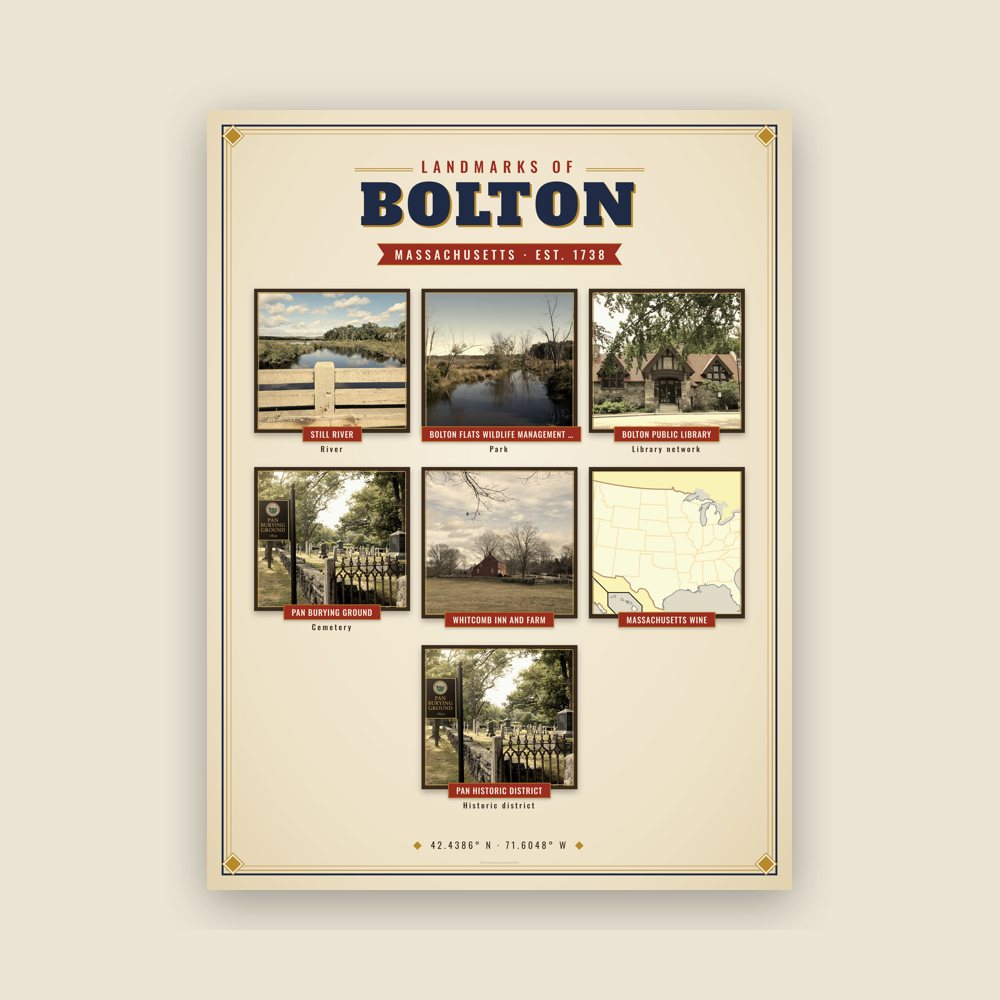
Nine local landmarks, archival matte
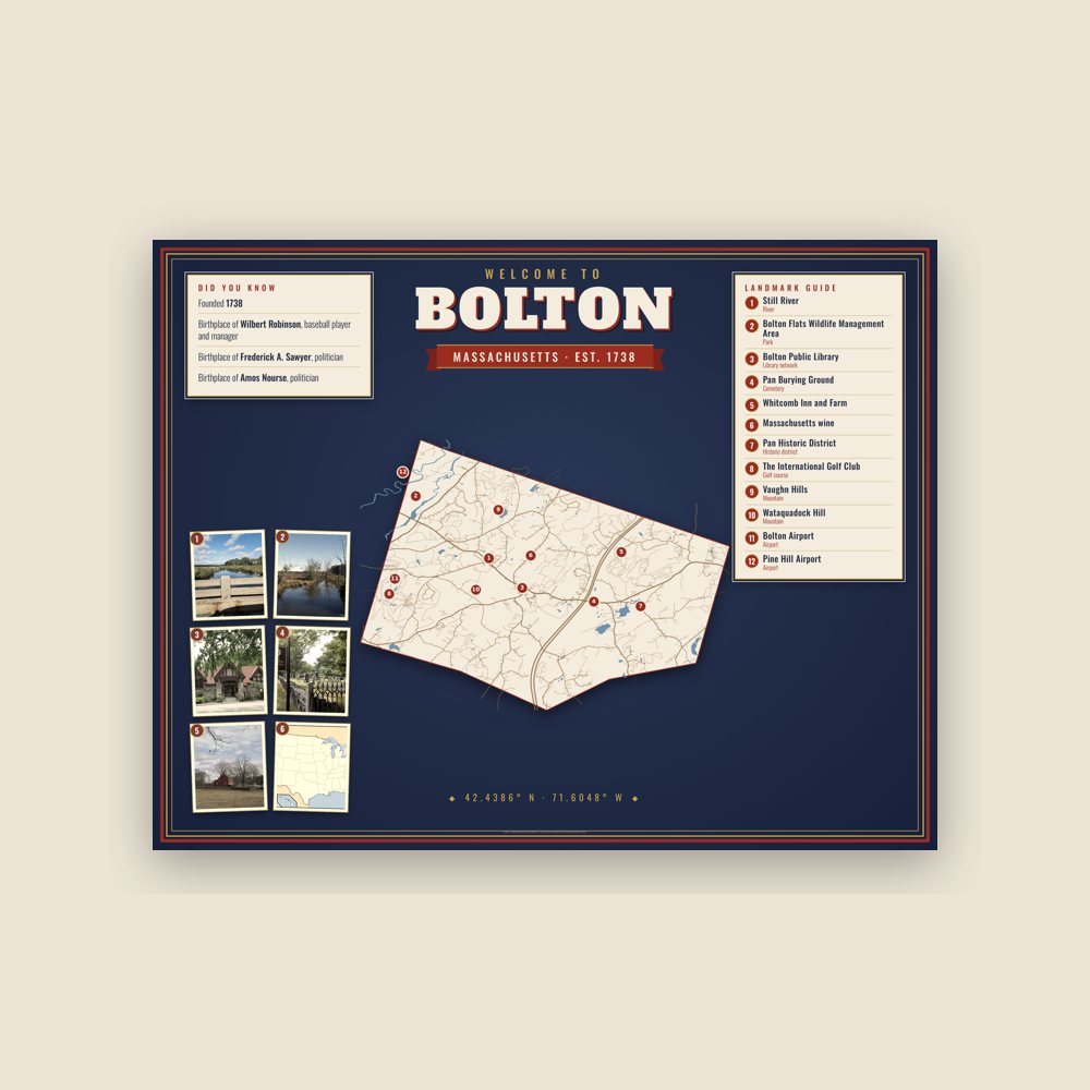
Map of local landmarks, washable fabric
Heavy-blend fleece, street map printed on the back
Soft Bella+Canvas jersey
Glossy ceramic, dishwasher safe
Ceramic keepsake, gold ribbon
Weatherproof, for the front walk
24″×16″, printed coir-look fibers, rubber back
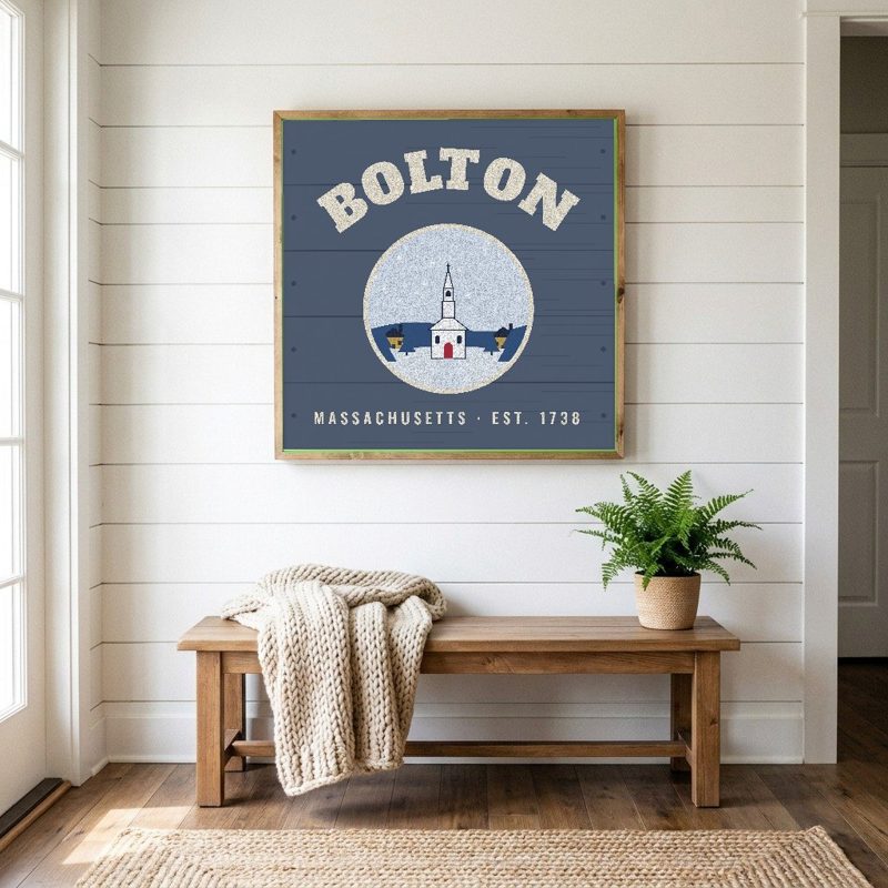
12″×12″ printed wood, ready to hang
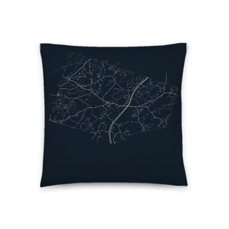
Soft-touch, zip cover
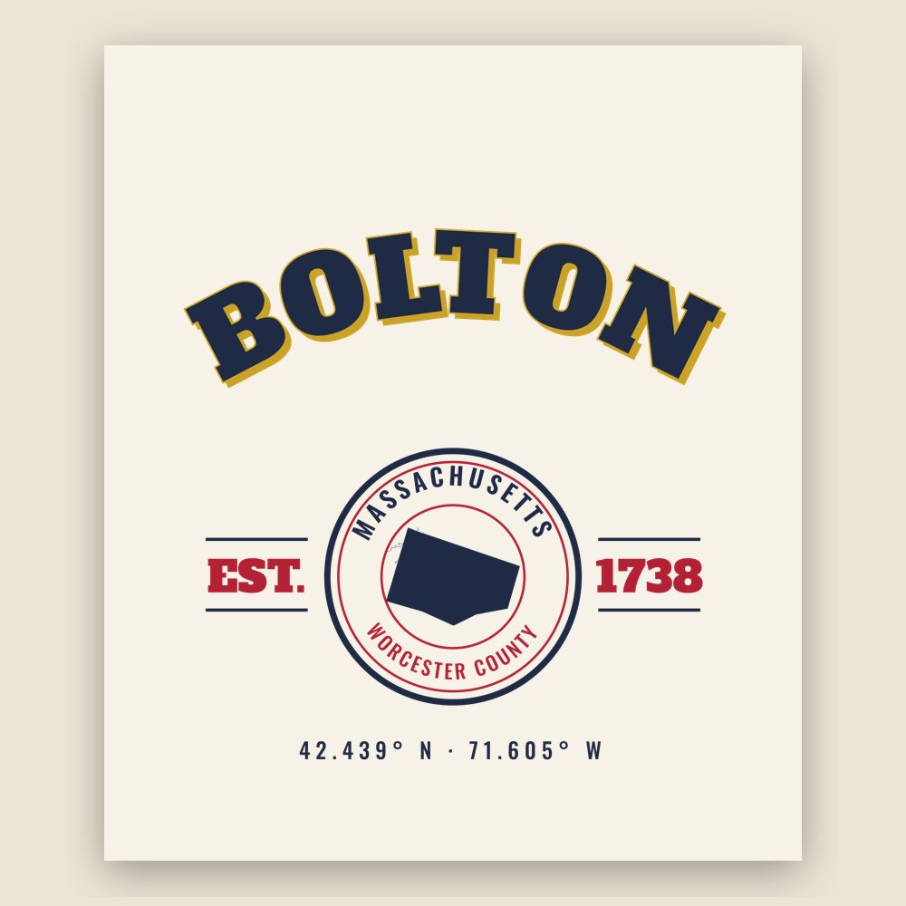
Sturdy all-over-print tote
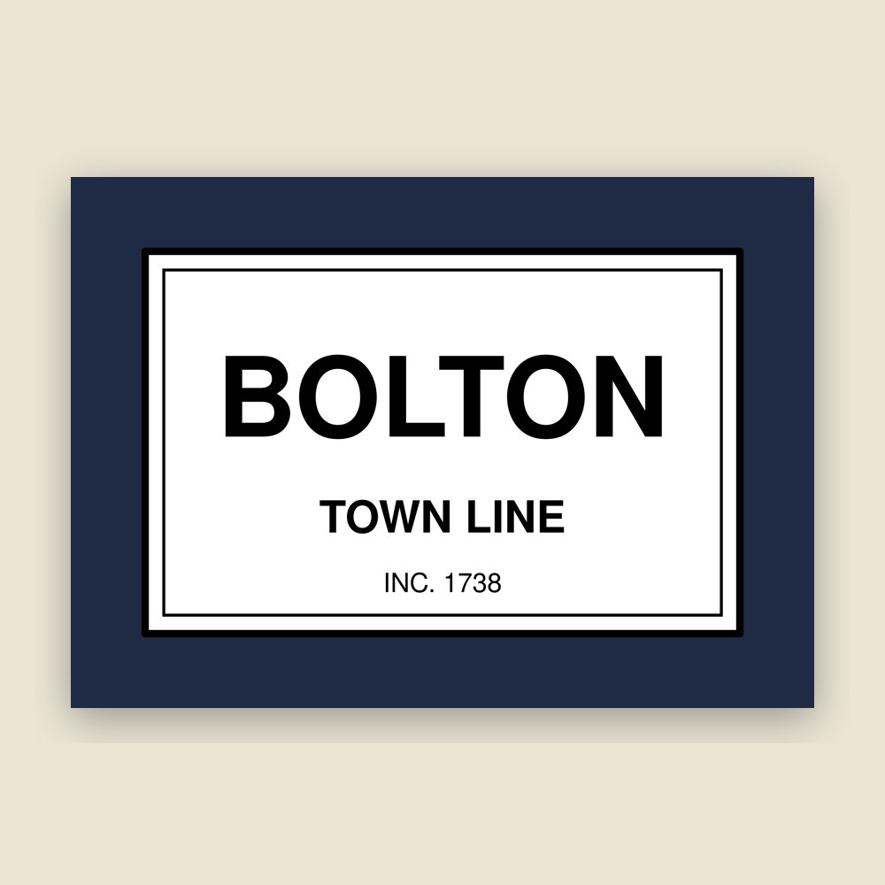
Glossy top, cork back
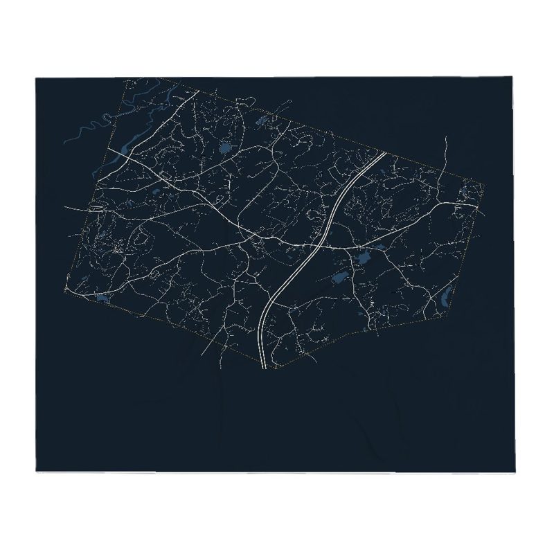
Soft fleece, 50″×60″
20 oz, double-wall stainless
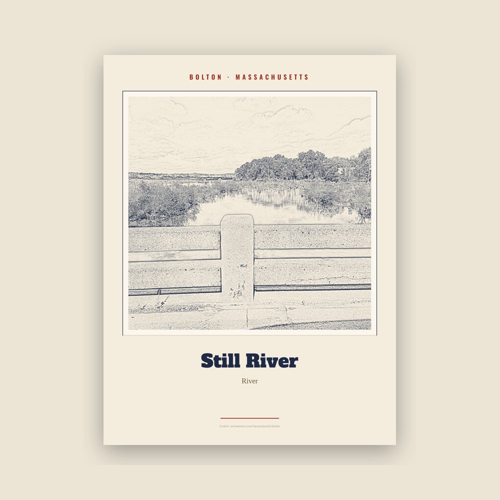
Archival matte print of a local landmark, credited to its photographer
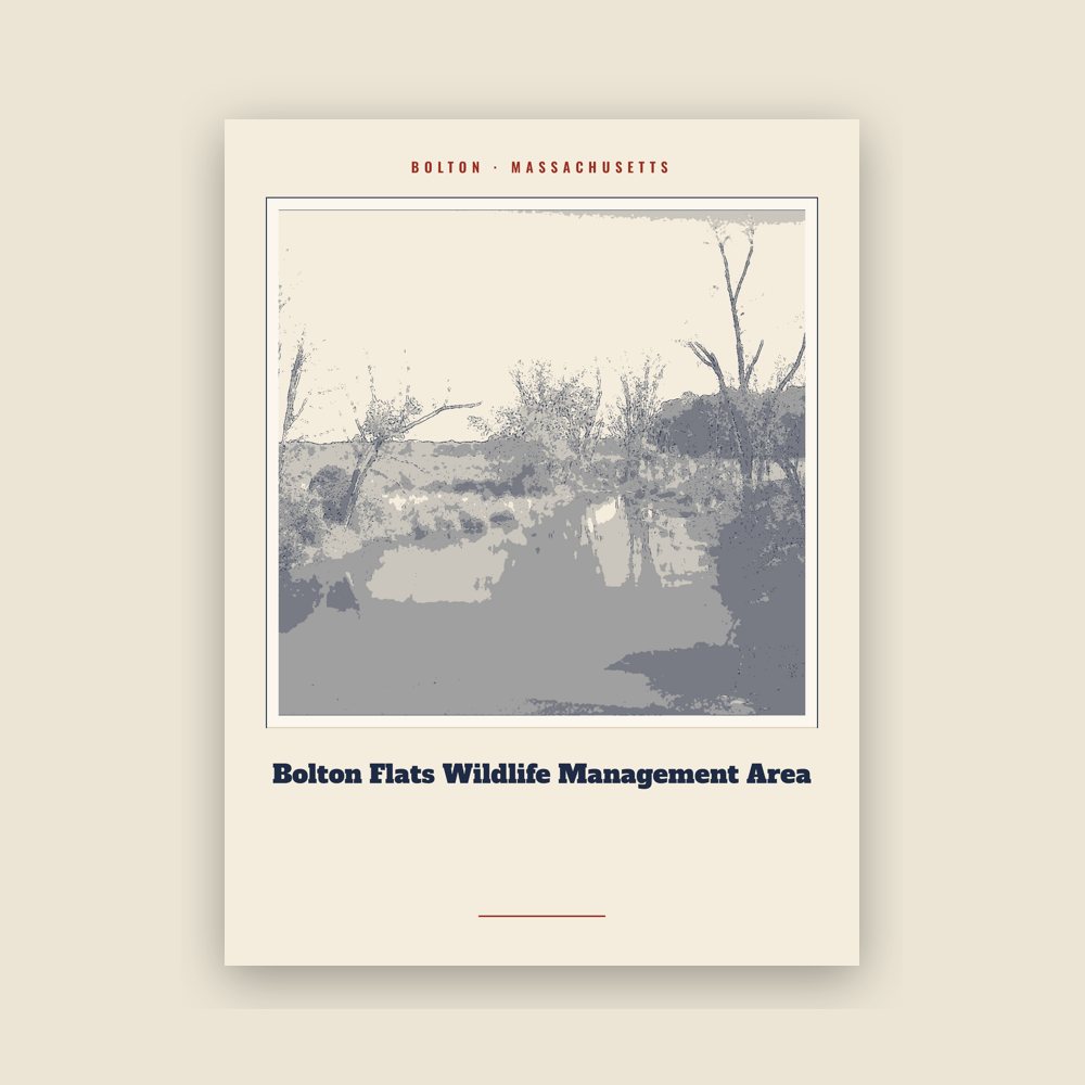
Archival matte print of a local landmark, credited to its photographer
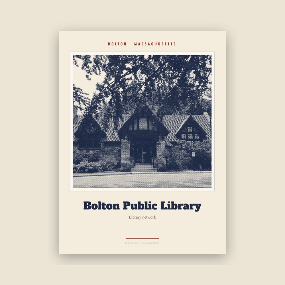
Archival matte print of a local landmark, credited to its photographer
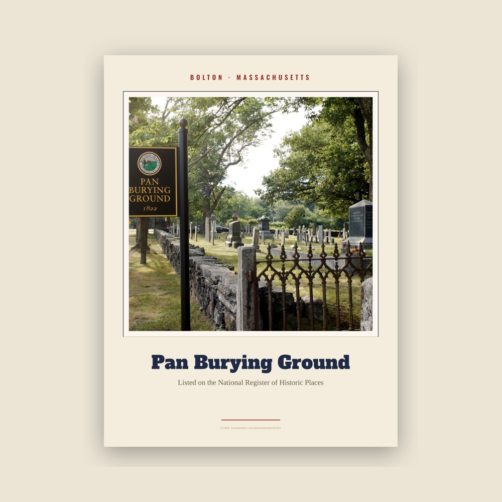
Archival matte print of a local landmark, credited to its photographer
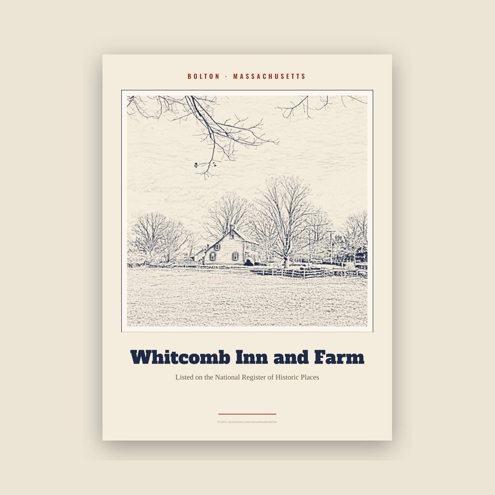
Archival matte print of a local landmark, credited to its photographer
Archival matte print of a local landmark, credited to its photographer
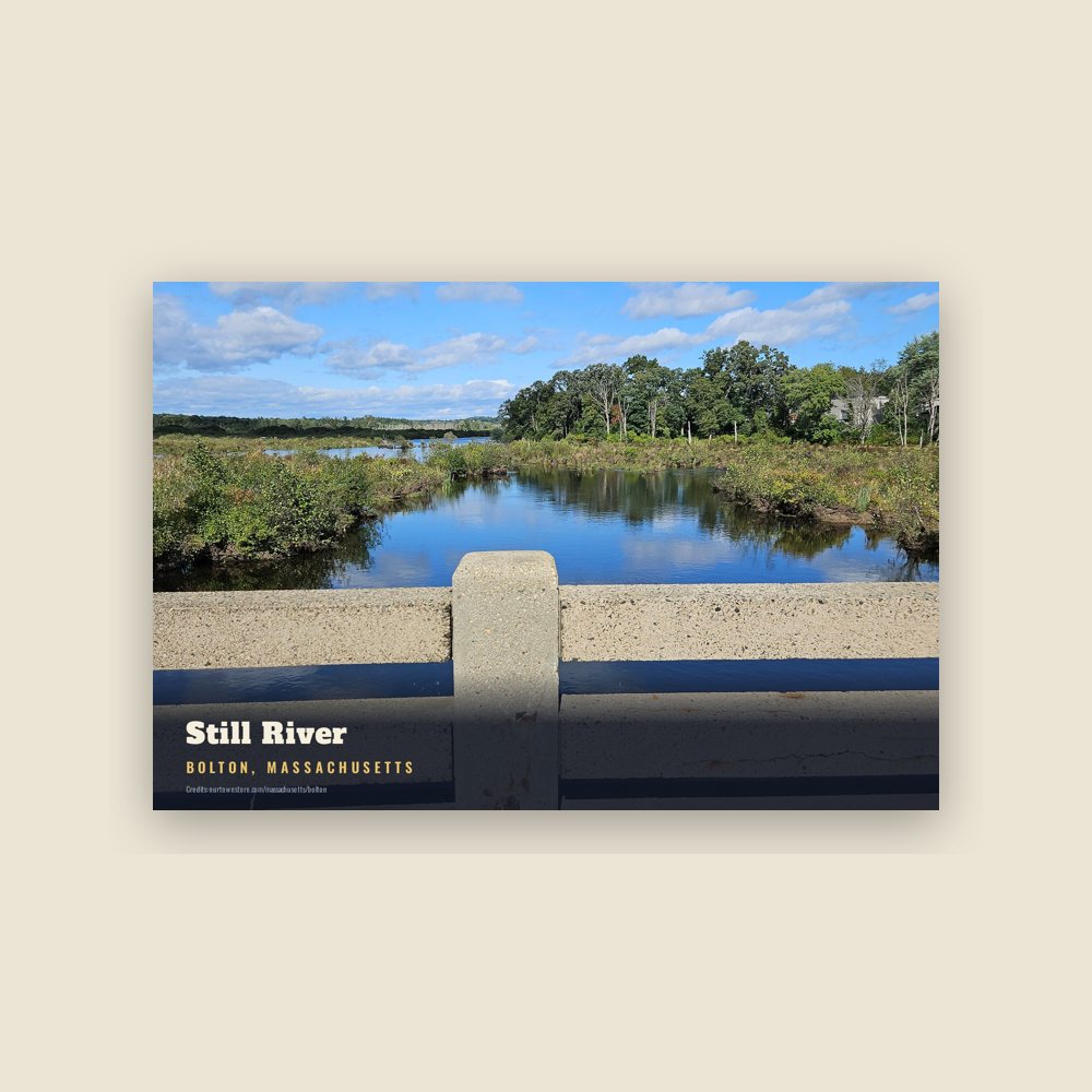
6″×4″ postcard, glossy front
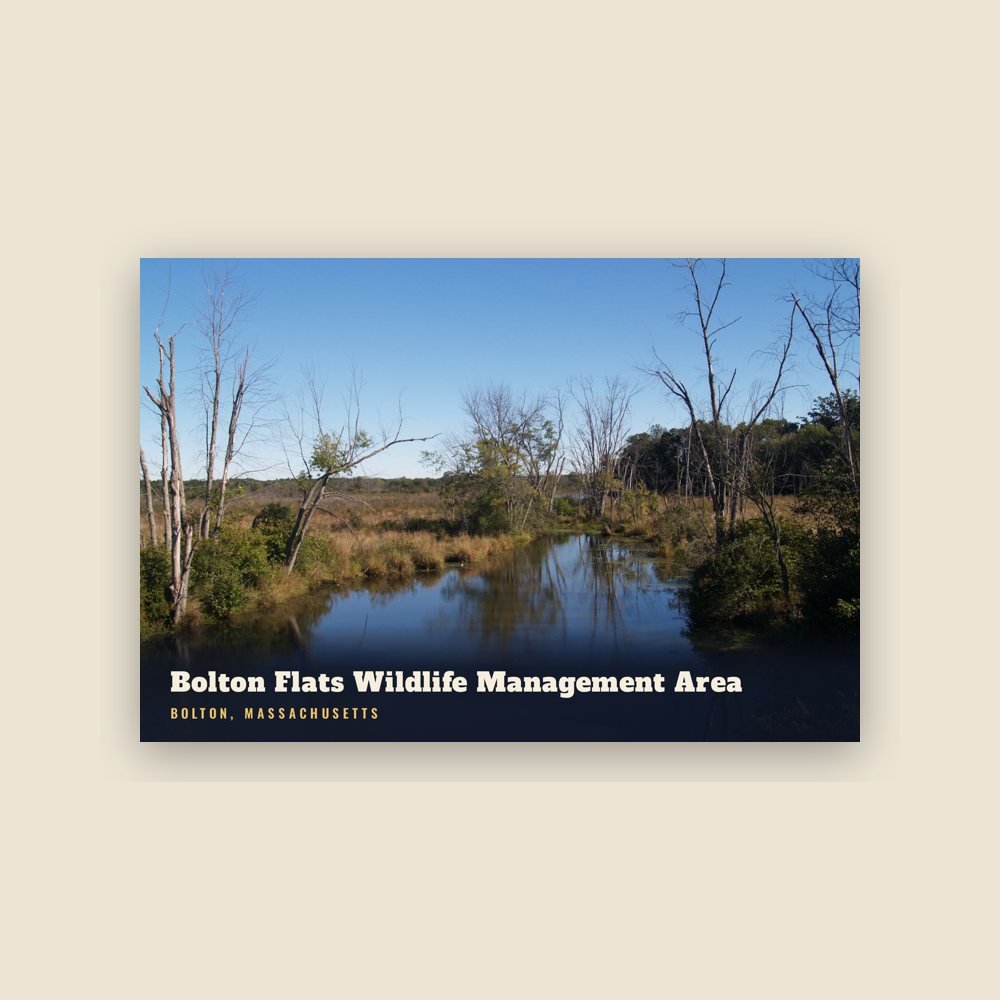
6″×4″ postcard, glossy front
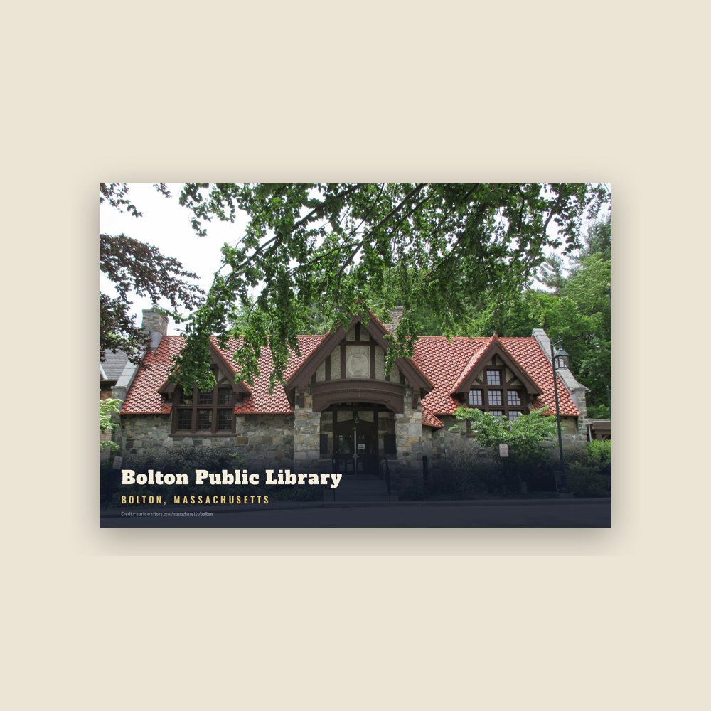
6″×4″ postcard, glossy front
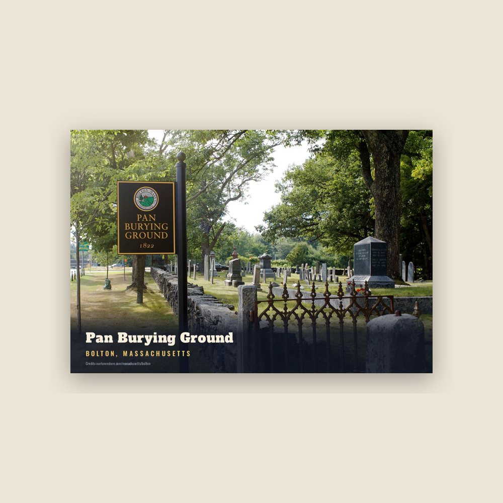
6″×4″ postcard, glossy front
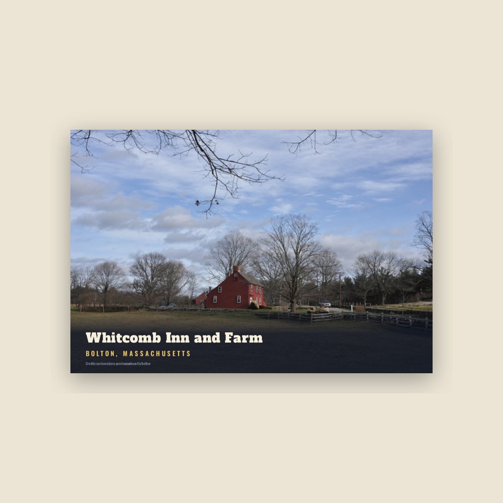
6″×4″ postcard, glossy front
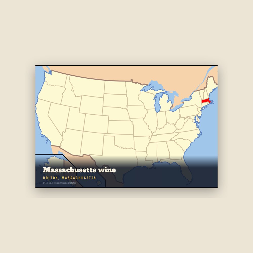
6″×4″ postcard, glossy front
Population 2010: 4,897 → 2020: 5,665
From Wikidata (CC0).
Prior to its incorporation, the area was settled by English farmers in the 1600s near where the Nashaway tribe fished and farmed along the Nashua River. In 1643 Thomas King of Watertown had purchased the land from the sachem Sholan of the Nashaway as the southeastern corner of the Nashaway (Lancaster) purchase.
The land in what is now Bolton was formerly part of the town of Lancaster until Bolton seceded along the Still River, where the current boundary line still stands. The town of Bolton was incorporated on June 24, 1738, following an influx of settlers and was named after the Duke of Bolton.
In 1656 the Concord highway was laid out over Wattaquadock Hill in Bolton. By 1711 more than 150 people were living on Bolton soil, despite a local history of Indian uprisings and one massacre during King Philip's War. Many early houses were protected by flankers, and were designated as garrisons. After the War various small industries developed in Bolton including the mining of limestone at Bolton Lime Kiln and Quarry.
During the American Revolution Bolton farmers erected a liberty pole at the town center and largely supported the revolutionary cause. General John Whitcomb of Bolton was elected the first Major-General of the Massachusetts Army at the third Provincial Congress in 1775. He was a minuteman leader at the Battles of Lexington and Concord and the Battle of Bunker Hill. By the Civil War in the 1860s Bolton residents had formed an abolitionist society, and twenty-one Bolton residents died fighting for the Union. The Bolton Fair was founded in Bolton in 1874 as an agricultural fair, but the fair was later moved to nearby Lancaster in 2004 where it is still held annually.
In the 1920s Bolton was used as a setting and mentioned a number of times in H.P. Lovecraft's fiction: as a setting in his Herbert West—Reanimator, and also mentioned in his The Rats in the Walls and The Colour out of Space. However, H.P. Lovecraft's Bolton was located on the North Shore near Ipswich, Massachusetts, and was described as a factory town bearing little resemblance to the actual town.
Adapted (trimmed) from the Wikipedia article Bolton, Massachusetts, revision 1377120519 by its contributors, licensed CC BY-SA 4.0.
We share a part of every Bolton sale with local partners, and we'd love to print from your collection. Old photographs, maps and postcards make the best keepsakes.
Partner with us