Since 1814
A short history of Phippsburg
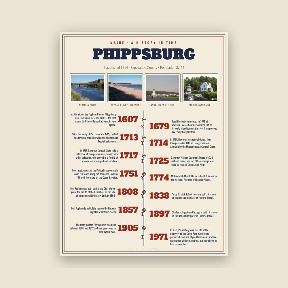
As the site of the Popham Colony, Phippsburg was—between 1607 and 1608—the first known English settlement attempt in New England. During its brief existence, colonists built Virginia of Sagadahoc, the first ship in Maine's long history of shipbuilding.
The next British settlement at the mouth of the Kennebec River began in 1653; Thomas Atkins, a fisherman, purchased from the sachem Mowhotiwormet, commonly called Chief Robinhood, the southern end of Phippsburg (with the exception of Popham). Atkins Bay bears his name. The population gradually increased until King Philip's War. Dwellings were burned and stocks of cattle killed. The entire area was abandoned.
Resettlement commenced in 1679 at Newtown, located on the southern end of Arrowsic Island (across the river from present-day Phippsburg Center). About 1684, Francis Small had a trading post at Cape Small, which bears his name. But in 1689 the area was again destroyed and deserted during King William's War. With the Treaty of Portsmouth in 1713, conflict was formally ended between the Abenaki and English settlements. In 1714, Newtown was reestablished, then incorporated in 1716 as Georgetown-on-Arrowsic by the Massachusetts General Court. Also in 1716, the Pejepscot Proprietors established a little fishing village called Augusta at the Small Point Harbor area of Phippsburg. Dr. Oliver Noyes, director of the colony, erected a stone fort 100 feet (30 meters) square to protect it. In 1717, Governor Samuel Shute held a conference at Georgetown-on-Arrowsic with tribal delegates, who arrived in a flotilla of canoes and encamped on Lee Island.
But in summer of 1723 during Dummer's War, the Norridgewocks and 250 of their Indian allies from Canada, incited by the French missionary Sebastien Rale, attacked the area. Again it was deserted, with the stone fort destroyed. Governor William Dummer's Treaty of 1725 restored peace, and in 1737 an attempt was made to resettle Cape Small Point. The boundaries of Georgetown-on-Arrowsic were enlarged to encompass most of present-day Phippsburg, Bath (which then included West Bath), Woolwich and Georgetown.
Slow resettlement of the Phippsburg peninsula found ten farms along the Kennebec River by 1751, with five more on the Casco Bay side. But the districts gathered into Georgetown-on-Arrowsic began splitting away; in 1759, Woolwich withdrew, followed in 1781 by Bath. In 1814, Phippsburg was set off and incorporated. The original petition requested that it be named Dromore after one of the town's oldest sections, but Massachusetts chose instead to honor one of its royal governors, Sir William Phips—actually a native of Woolwich.
Fort Popham was built during the Civil War to guard the mouth of the Kennebec, on the site of a much smaller battery built in 1808. It became the control center for an underwater minefield in the 1890s. The more modern Fort Baldwin was built between 1905 and 1912 and was garrisoned in both World Wars.
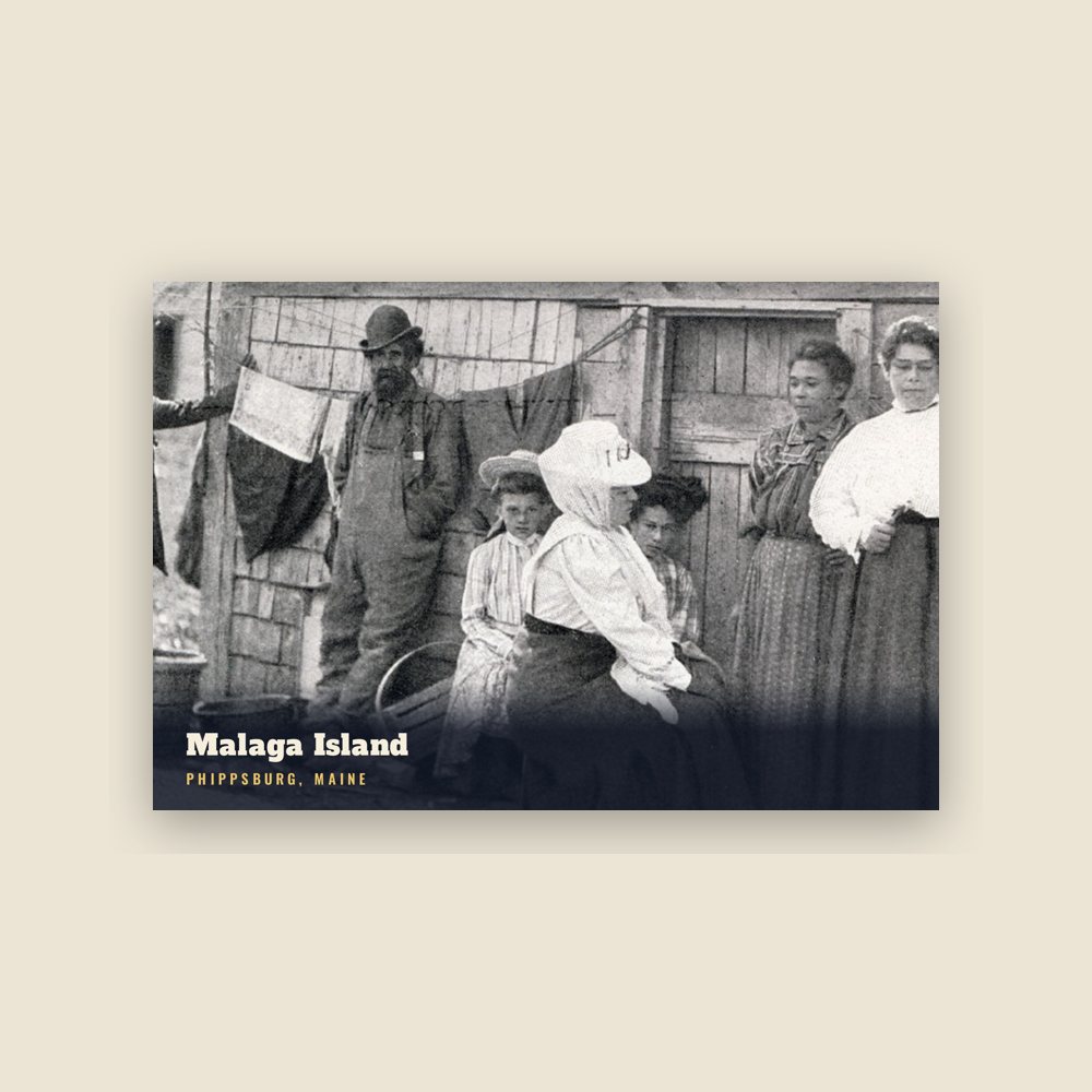
In 1891 Phippsburg ceded Ragged Island to Harpswell, but in 1917 it further added to its roster of islands by annexing nine Casco Bay islands including Bushy, Hen, Bear, Malaga, Burnt Coat, Black Snake, Wood, Little Wood, and Gooseberry Islands. Malaga was later offered to, but refused by, Harpswell.
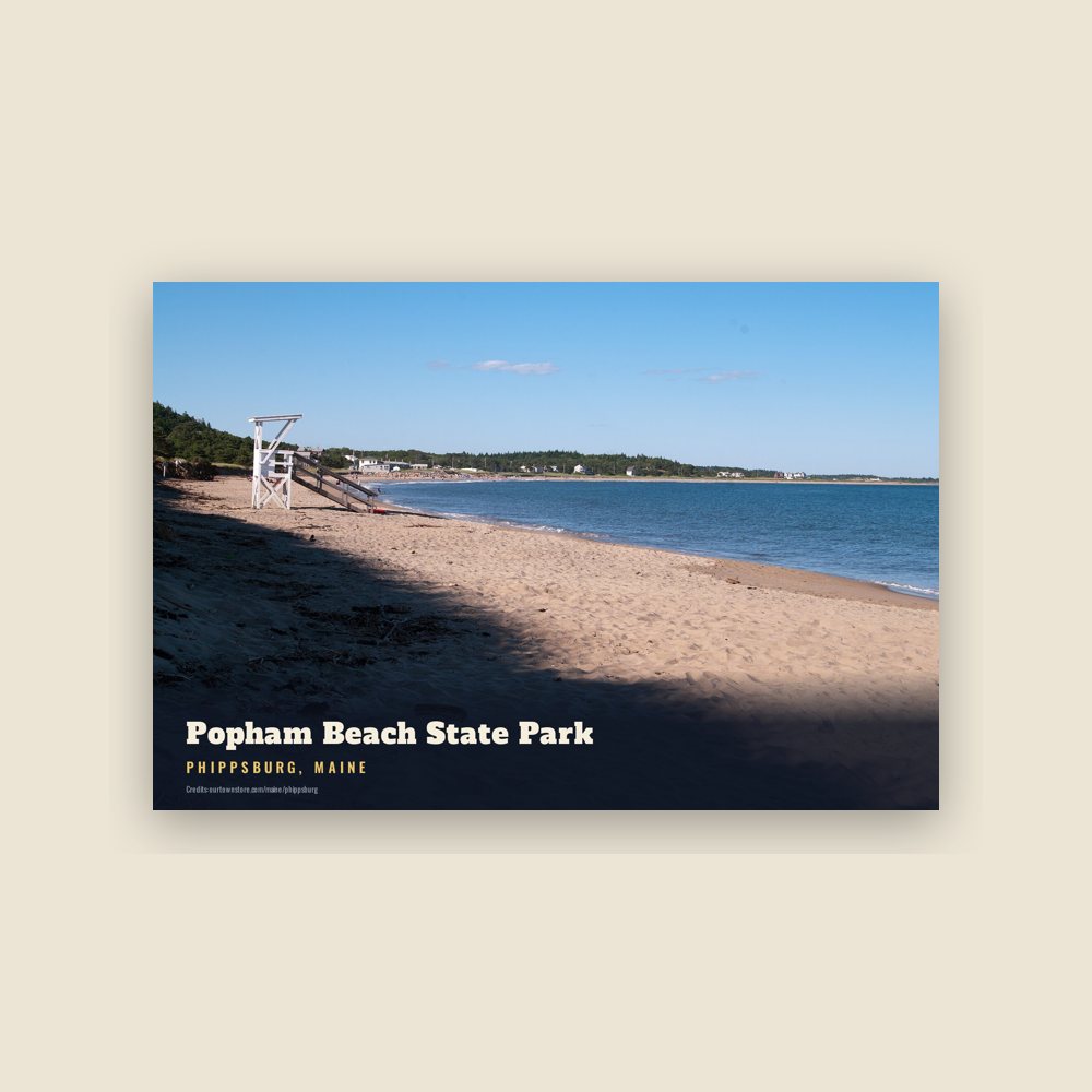
During the Gilded Age, Popham Beach developed into a resort area, with steamboats transporting excursionists from Bath. Today, the town's principal industries are fishing and tourism.
In 1971, Phippsburg was the site of the discovery of the Spirit Pond runestones, purported evidence of pre-Columbian European exploration of North America, but now shown to be a modern hoax. The three stones were found by Walter J. Elliot, Jr., a carpenter from Bath, Maine. The runestones are now in the possession of the Maine State Museum in Augusta, Maine.
Adapted (trimmed) from the Wikipedia article Phippsburg, Maine, revision 1379804298 by its contributors, licensed CC BY-SA 4.0.

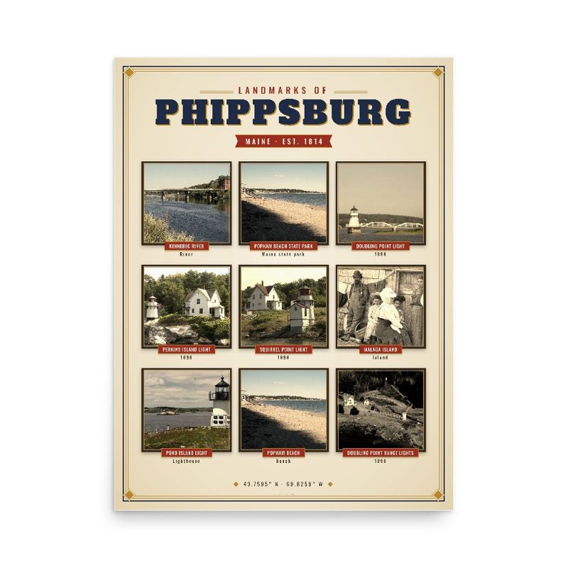

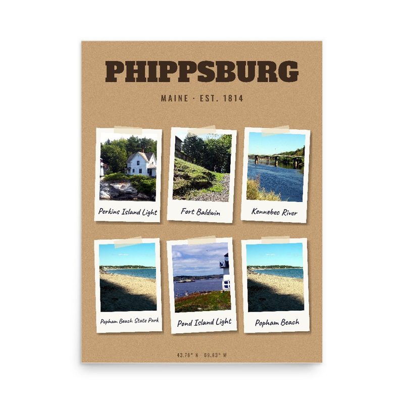
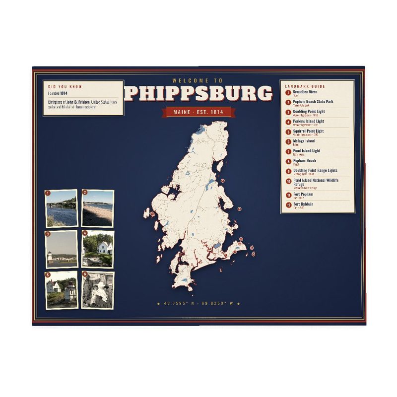













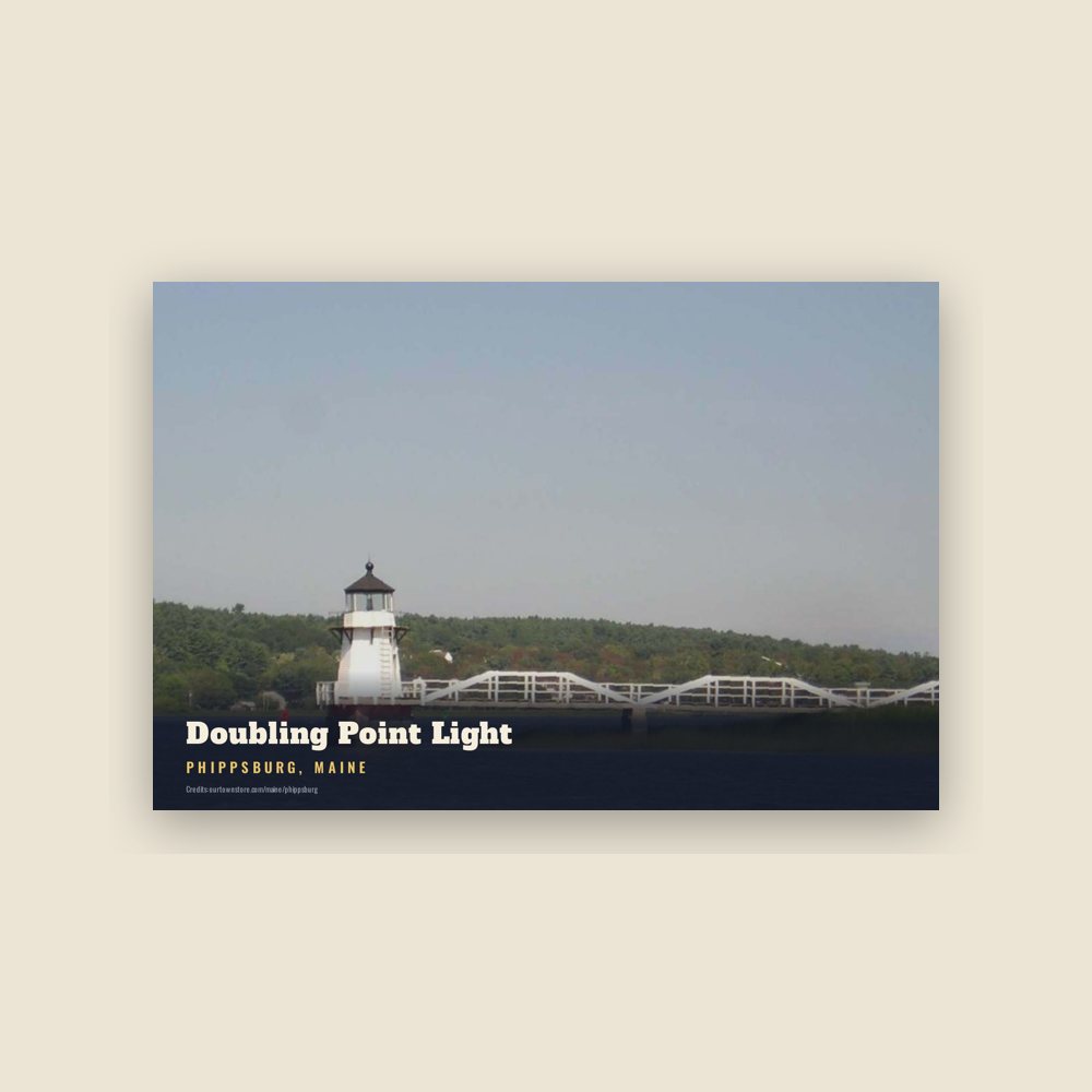
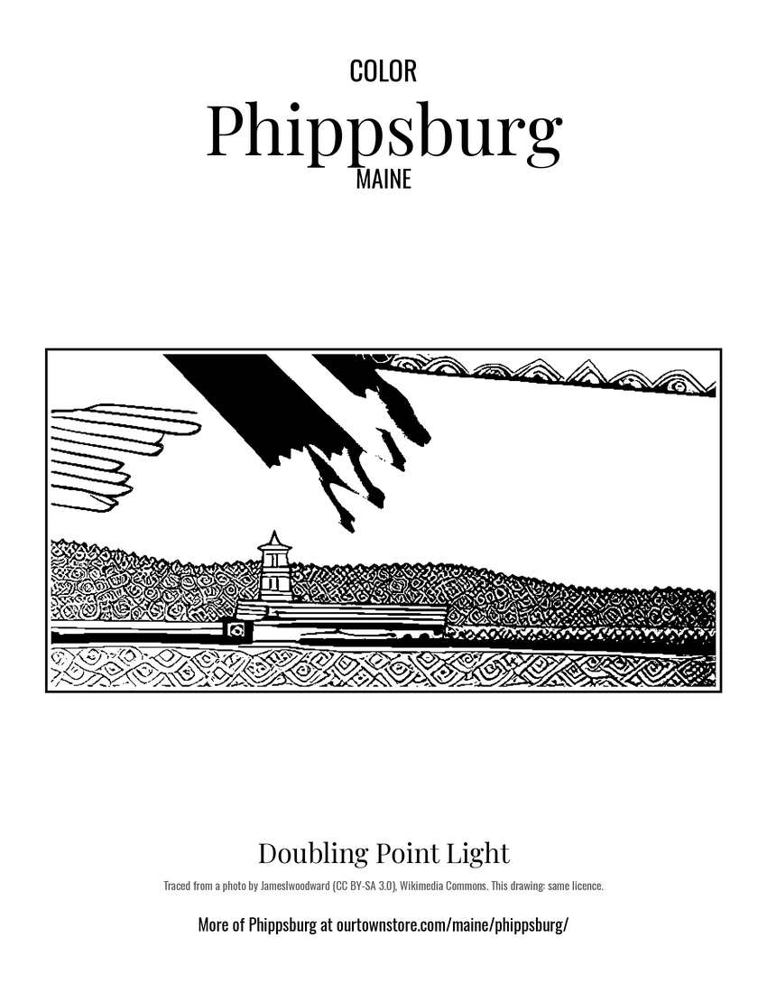 Doubling Point Light
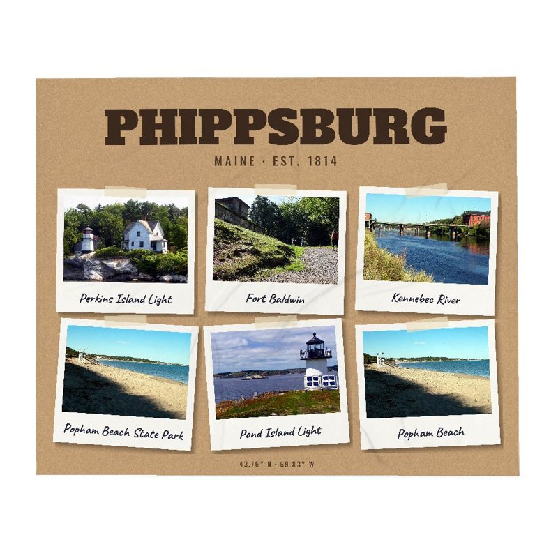
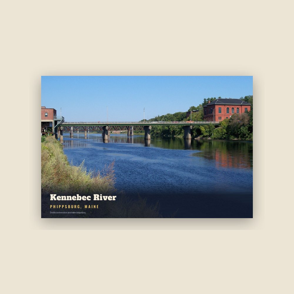
 Kennebec River
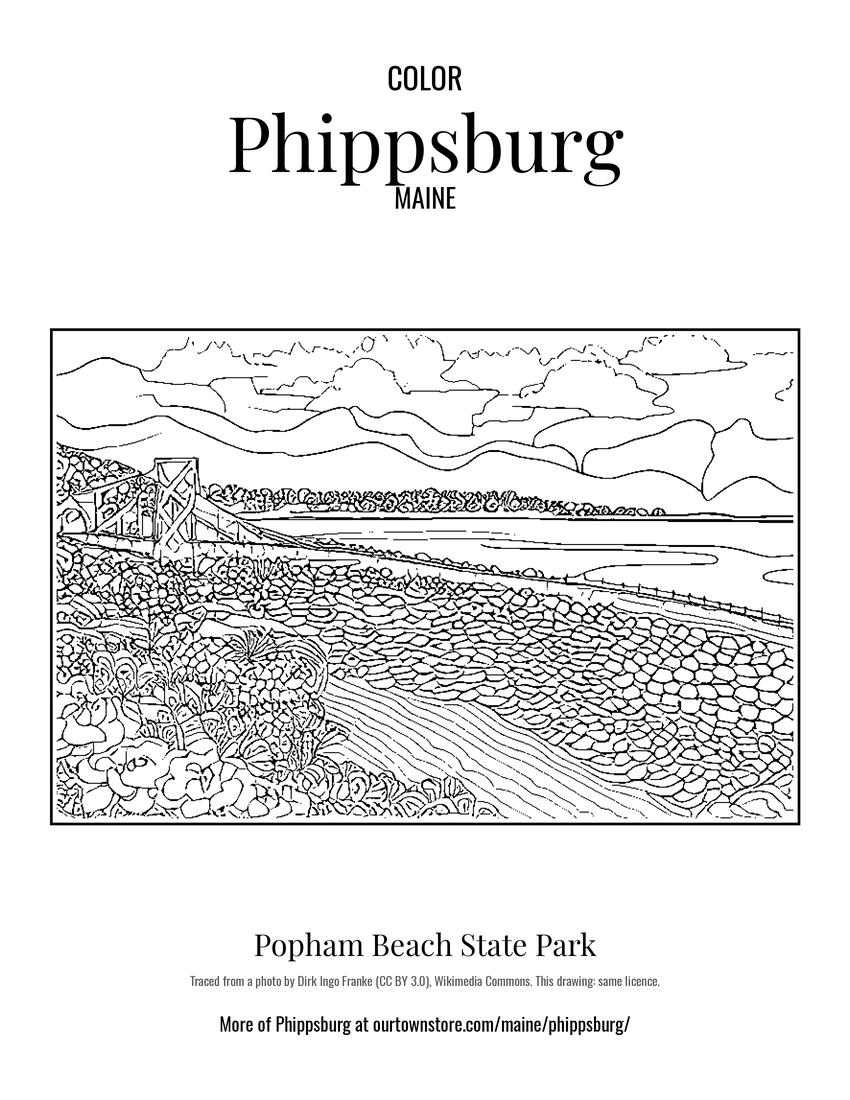 Popham Beach State Park
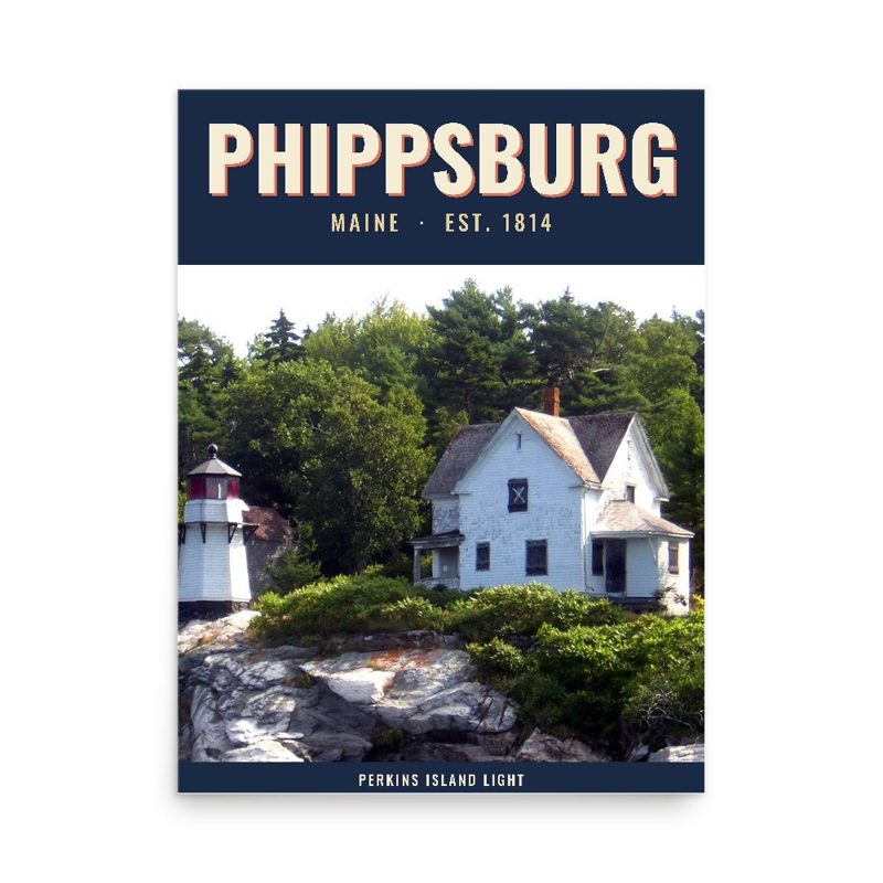
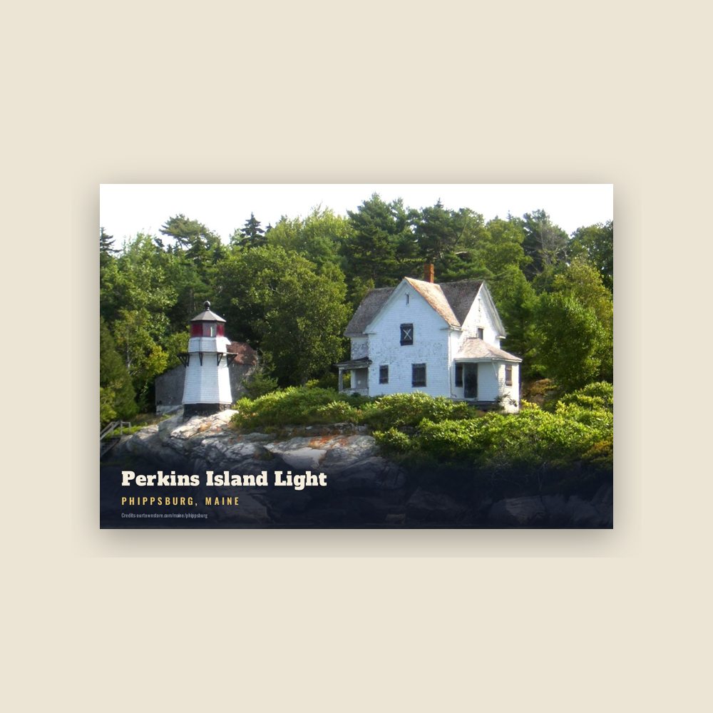
 Perkins Island Light