Dayton borders Biddeford by land, and borders Saco on the Saco River. Landmarks include Levi Foss House.
- CountyYork County
- Population2,129 (2020 U.S. Census)
- Historic places1 on the National Register
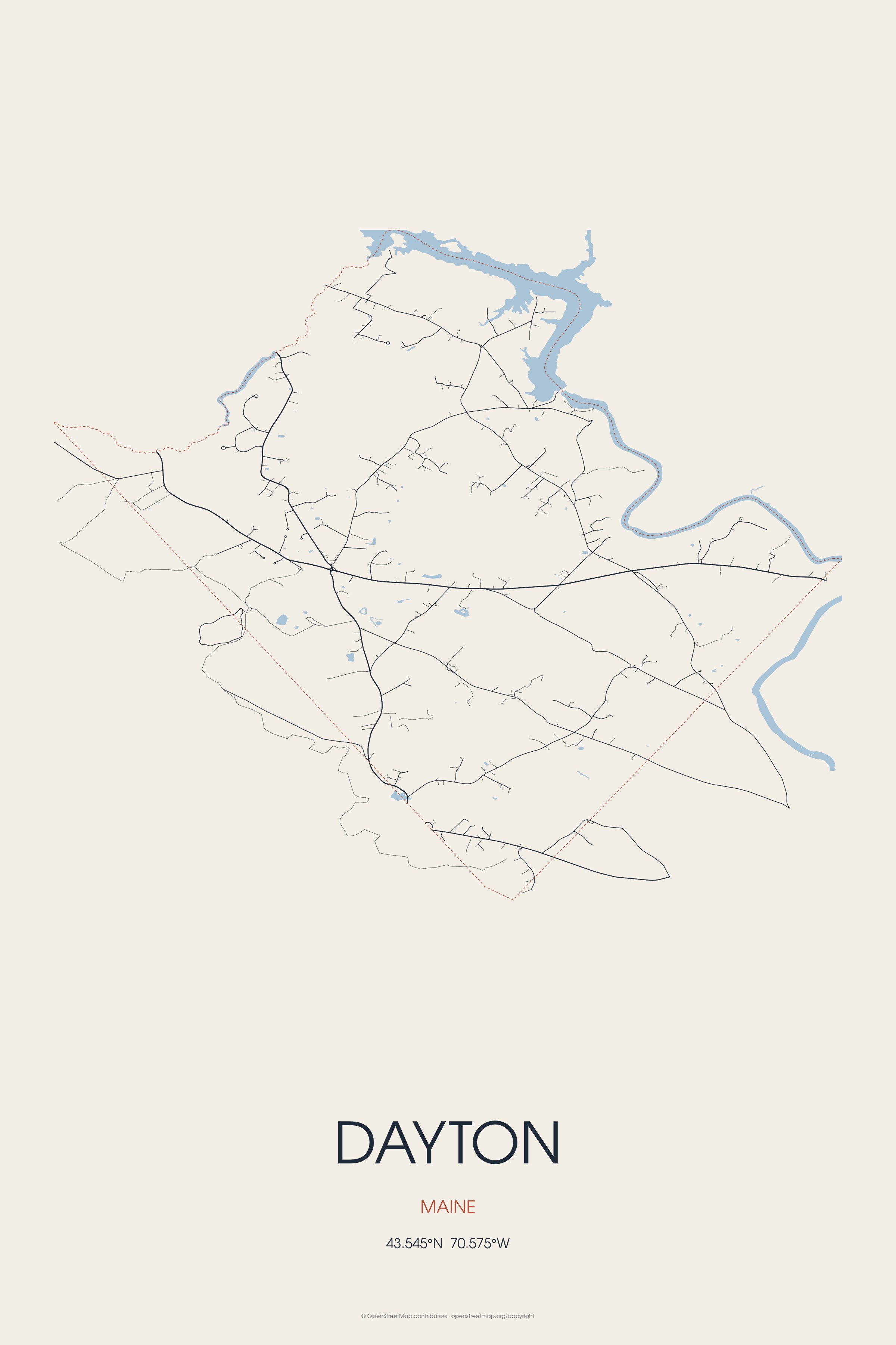
Dayton borders Biddeford by land, and borders Saco on the Saco River. Landmarks include Levi Foss House.
Dayton, Maine gifts and souvenirs: 22 designs made from Dayton's own map, landmarks and history, from $10 to $95. Printed to order and shipped free in the USA.
| Popular | Price |
|---|---|
| Dayton Hometown Ornament | $23 |
| Dayton Vintage Travel Poster | from $40 |
| Dayton Varsity Crewneck | from $57 |
| Dayton Est. Tee | from $33 |
| Dayton Town Line Mug | from $26 |
| Dayton Market Tote | $37 |
Ceramic keepsake, gold ribbon, in 3 styles

Its landmark photo in a classic travel-poster layout

A local landmark photo as a gallery print
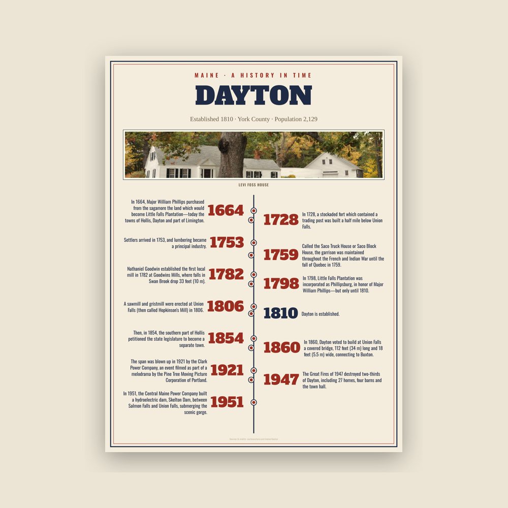
The town's story in dates, from its own records, for home or classroom
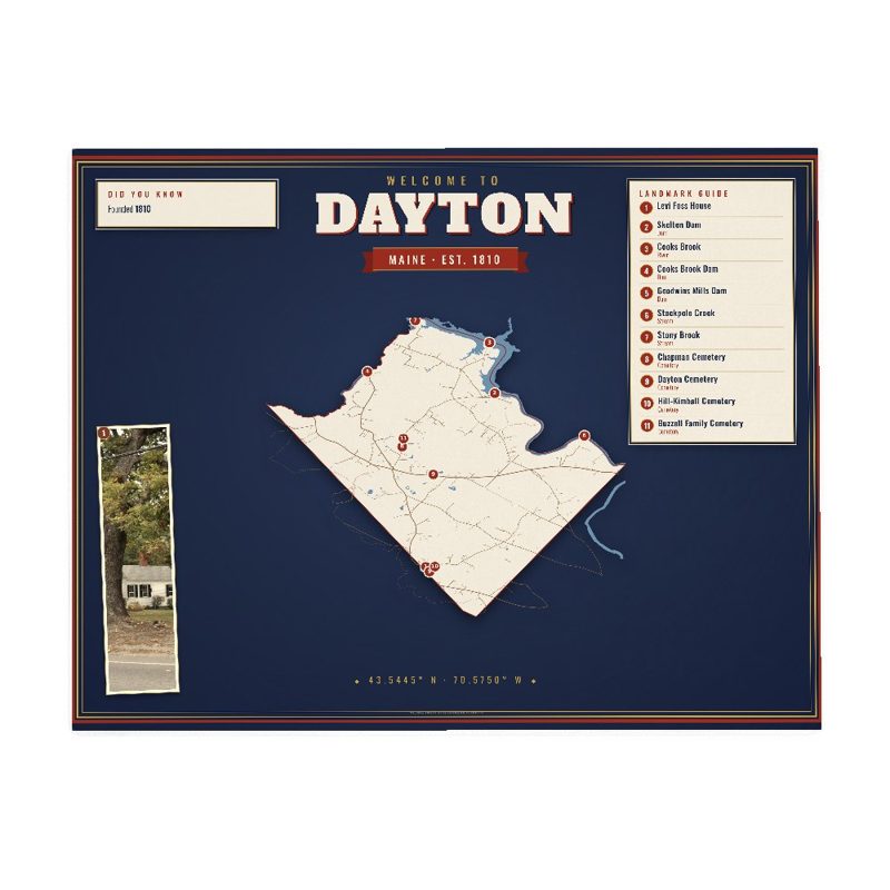
Map of local landmarks, washable fabric

Heavy-blend fleece, street map printed on the back
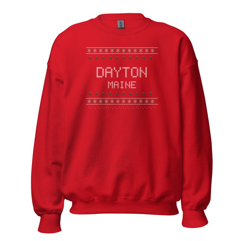
Red heavy-blend crewneck, knit-stitch town print
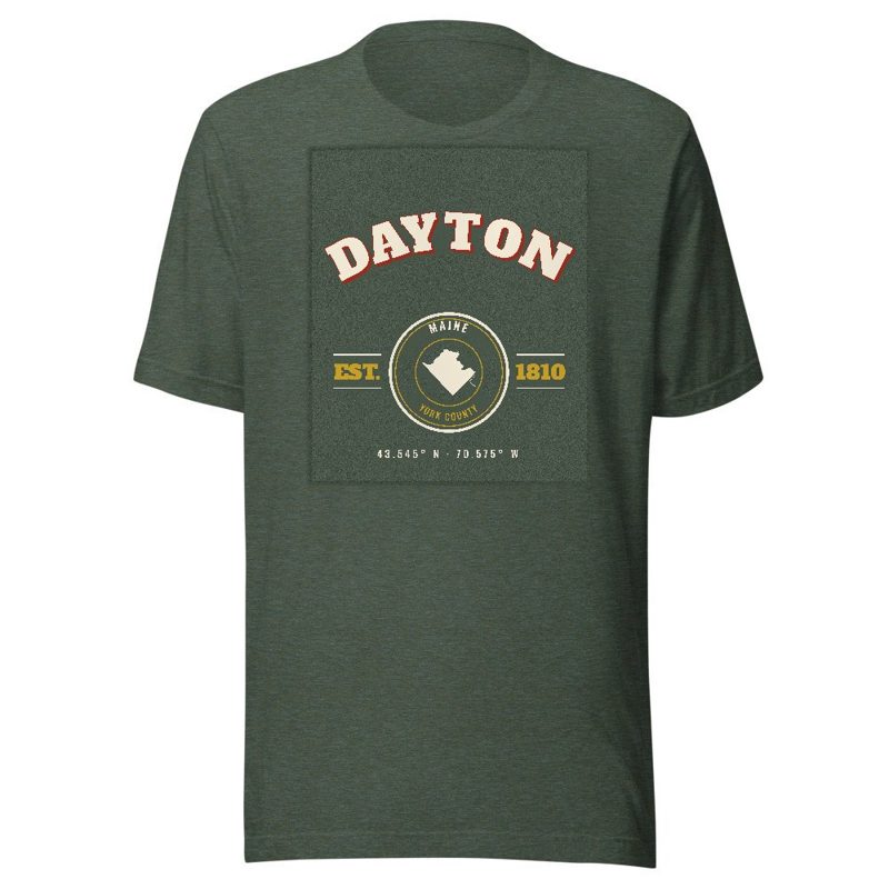
Soft Bella+Canvas jersey

Kids' Bella+Canvas jersey, youth sizes
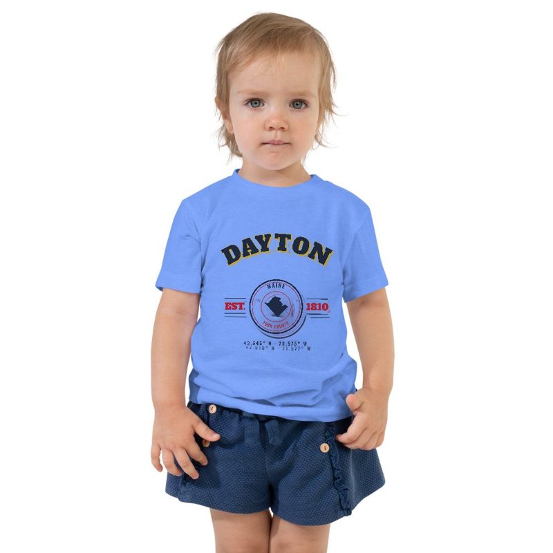
Bella+Canvas toddler jersey

Bella+Canvas baby bodysuit
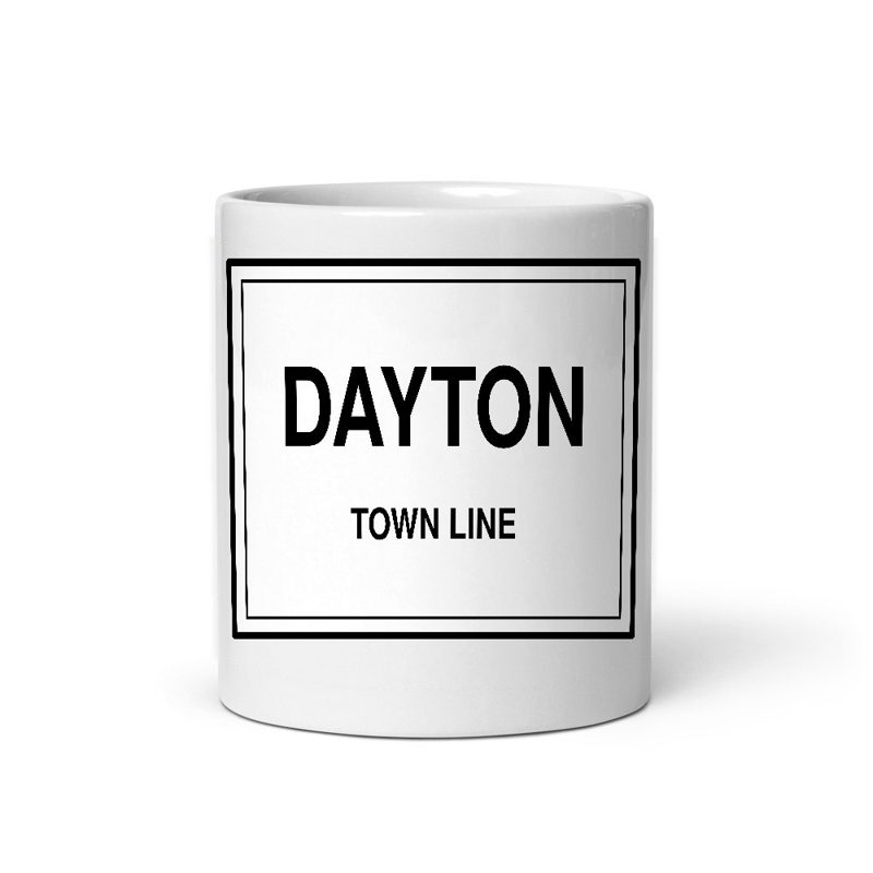
Glossy ceramic, dishwasher safe
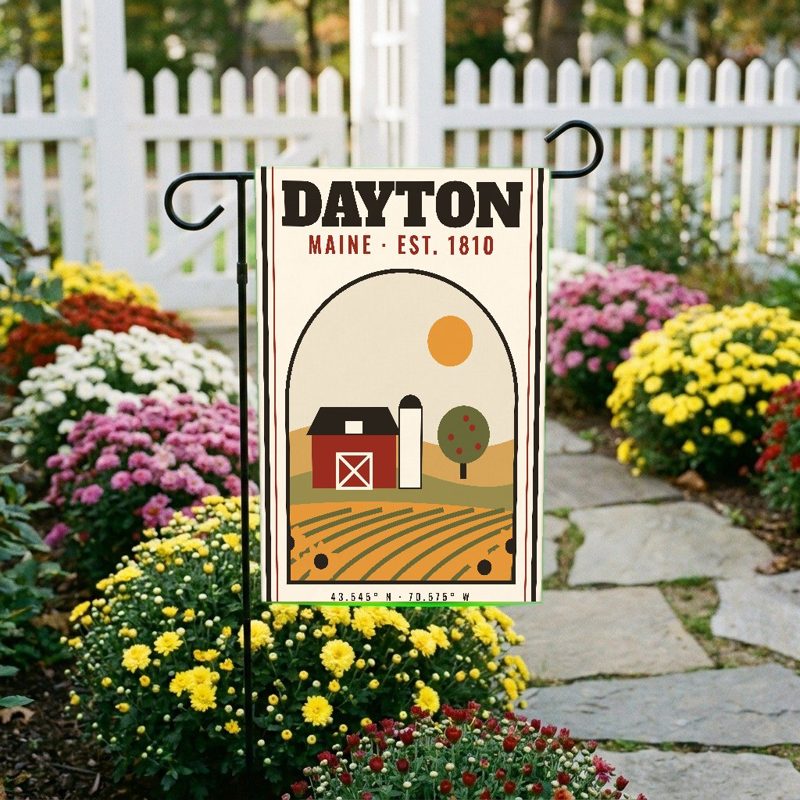
Weatherproof, for the front walk
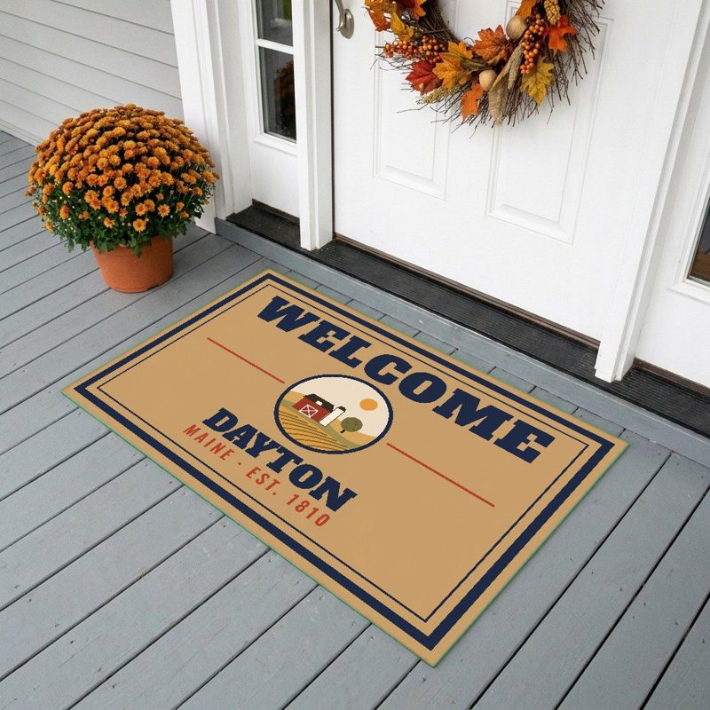
24″×16″, printed coir-look fibers, rubber back

12″×12″ printed wood, ready to hang
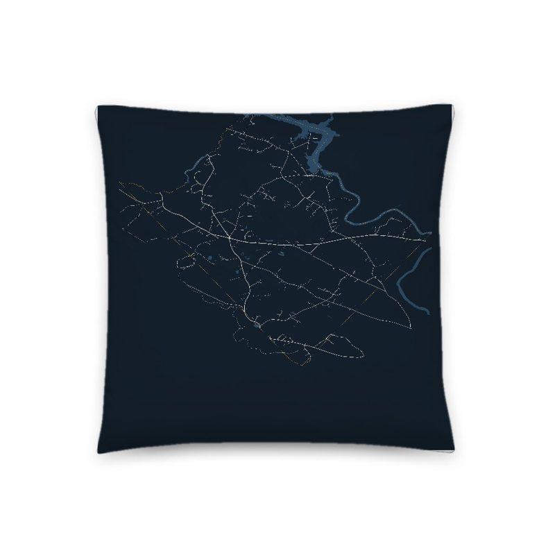
Soft-touch, zip cover

A local landmark photo with the town name, 18″×18″
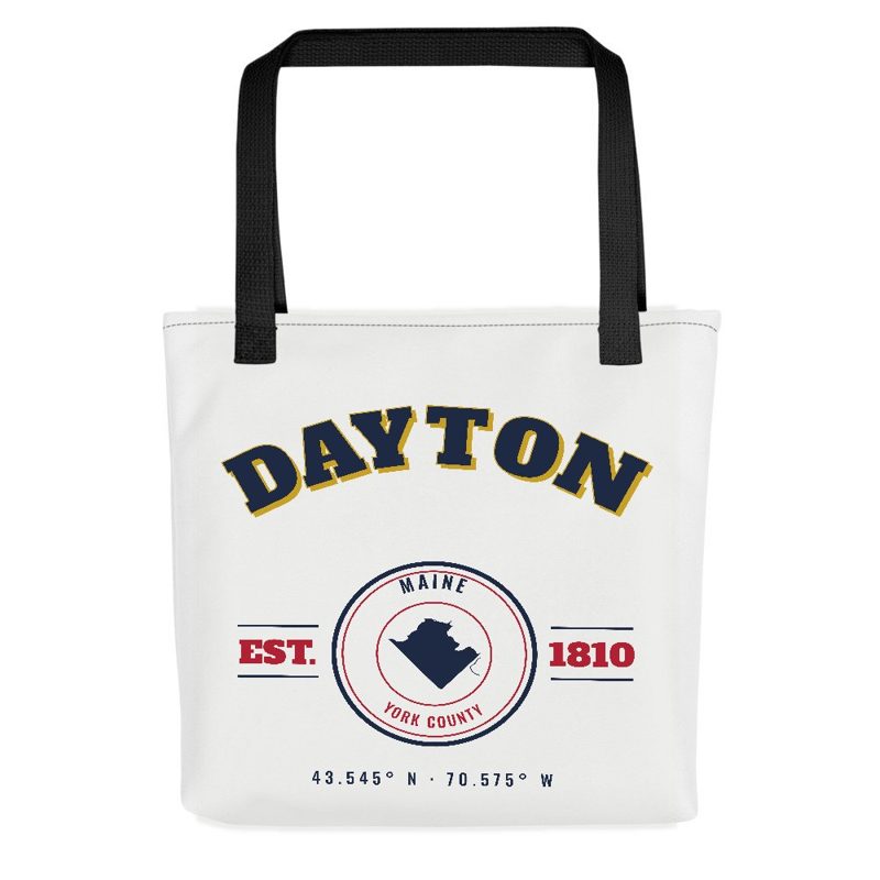
Sturdy all-over-print tote
Glossy top, cork back
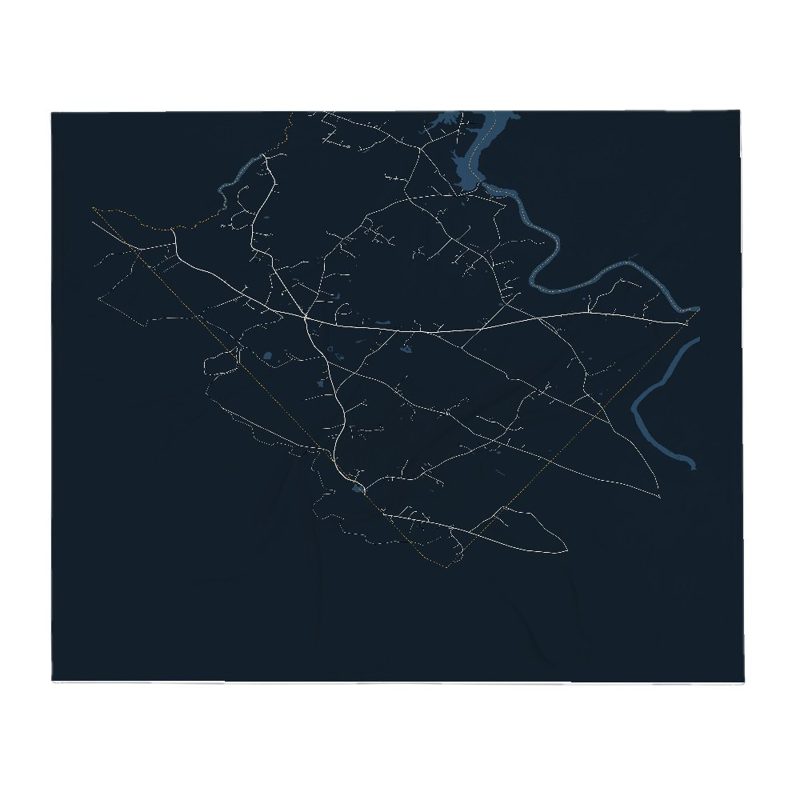
Soft fleece, 50″×60″

20 oz, double-wall stainless
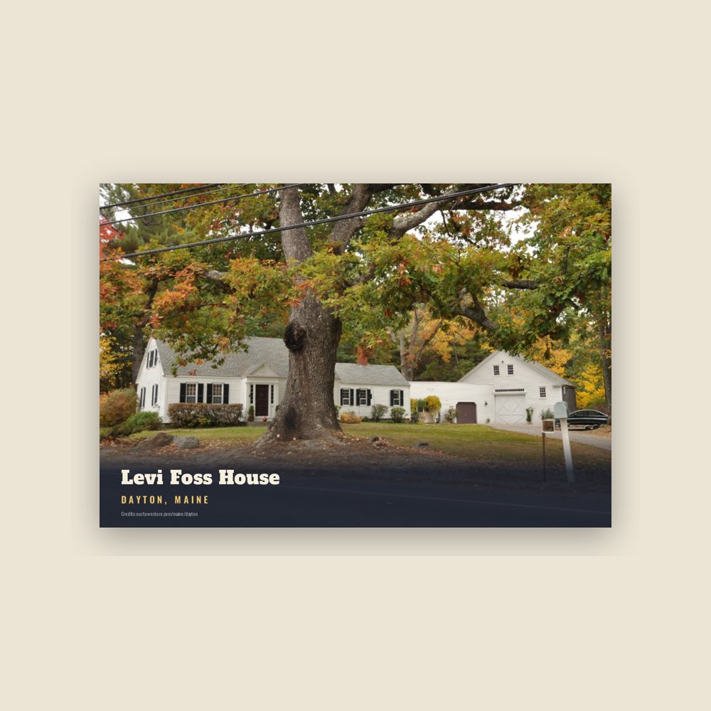
6″×4″ postcard, glossy front
Population 2010: 1,965 → 2020: 2,129
From Wikidata (CC0).
The area was once inhabited by the Sokokis (or Saco) Indigenous peoples, who hunted and fished along the Saco River. The old Sokokis Trail is now Route 5, which passes through Dayton. In 1664, Major William Phillips purchased from the sagamore the land which would become Little Falls Plantation—today the towns of Hollis, Dayton and part of Limington. In 1728, a stockaded fort which contained a trading post was built a half mile below Union Falls. Called the Saco Truck House or Saco Block House, the garrison was maintained throughout the French and Indian War until the fall of Quebec in 1759.
Settlers arrived in 1753, and lumbering became a principal industry. Logs were rolled down the banks of the Saco River and floated to sawmills at Saco. Nathaniel Goodwin established the first local mill in 1782 at Goodwins Mills, where falls in Swan Brook drop 33 feet (10 m). A sawmill and gristmill were erected at Union Falls (then called Hopkinson's Mill) in 1806. Tanneries were built, and land was cleared for farms. In 1798, Little Falls Plantation was incorporated as Phillipsburg, in honor of Major William Phillips—but only until 1810. Considered difficult to pronounce and write, the Phillipsburg was changed to Hollis. Then, in 1854, the southern part of Hollis petitioned the state legislature to become a separate town. Permission was granted, and the community was named Dayton after Thomas Day, who submitted the petition.
In 1860, Dayton voted to build at Union Falls a covered bridge, 112 feet (34 m) long and 18 feet (5.5 m) wide, connecting to Buxton. The span was blown up in 1921 by the Clark Power Company, an event filmed as part of a melodrama by the Pine Tree Moving Picture Corporation of Portland. The Great Fires of 1947 destroyed two-thirds of Dayton, including 27 homes, four barns and the town hall. In 1951, the Central Maine Power Company built a hydroelectric dam, Skelton Dam, between Salmon Falls and Union Falls, submerging the scenic gorge. With the submergence of the gorge, the road that ran perpendicular to the covered bridge was cut off. A new road called Company Road was built to replace it. Once a community of dairy farms, Dayton is now primarily residential.
Adapted (trimmed) from the Wikipedia article Dayton, Maine, revision 1378566864 by its contributors, licensed CC BY-SA 4.0.
We share a part of every Dayton sale with local partners, and we'd love to print from your collection. Old photographs, maps and postcards make the best keepsakes.
Partner with usA favorite landmark, your street, a school or team, an anniversary gift, a different product. Tell us and we'll get back to you by email.
1 free coloring page of Dayton, each traced from a photo of a local landmark. Print them at home, at school or for story hour.
Dayton's population was 2,129 in the 2020 U.S. Census, up from 1,965 in 2010.
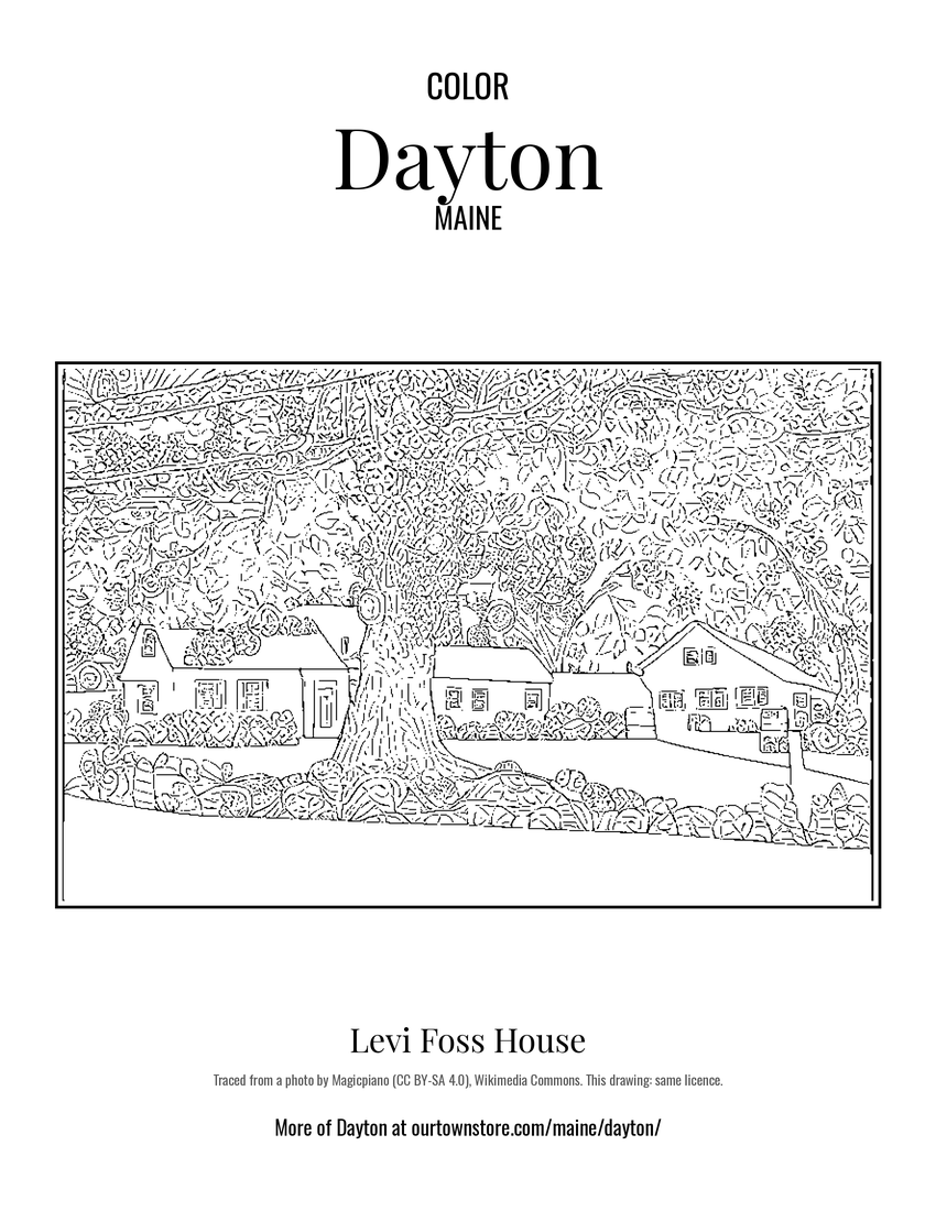 Levi Foss House