Since 1848
A short history of Damariscotta
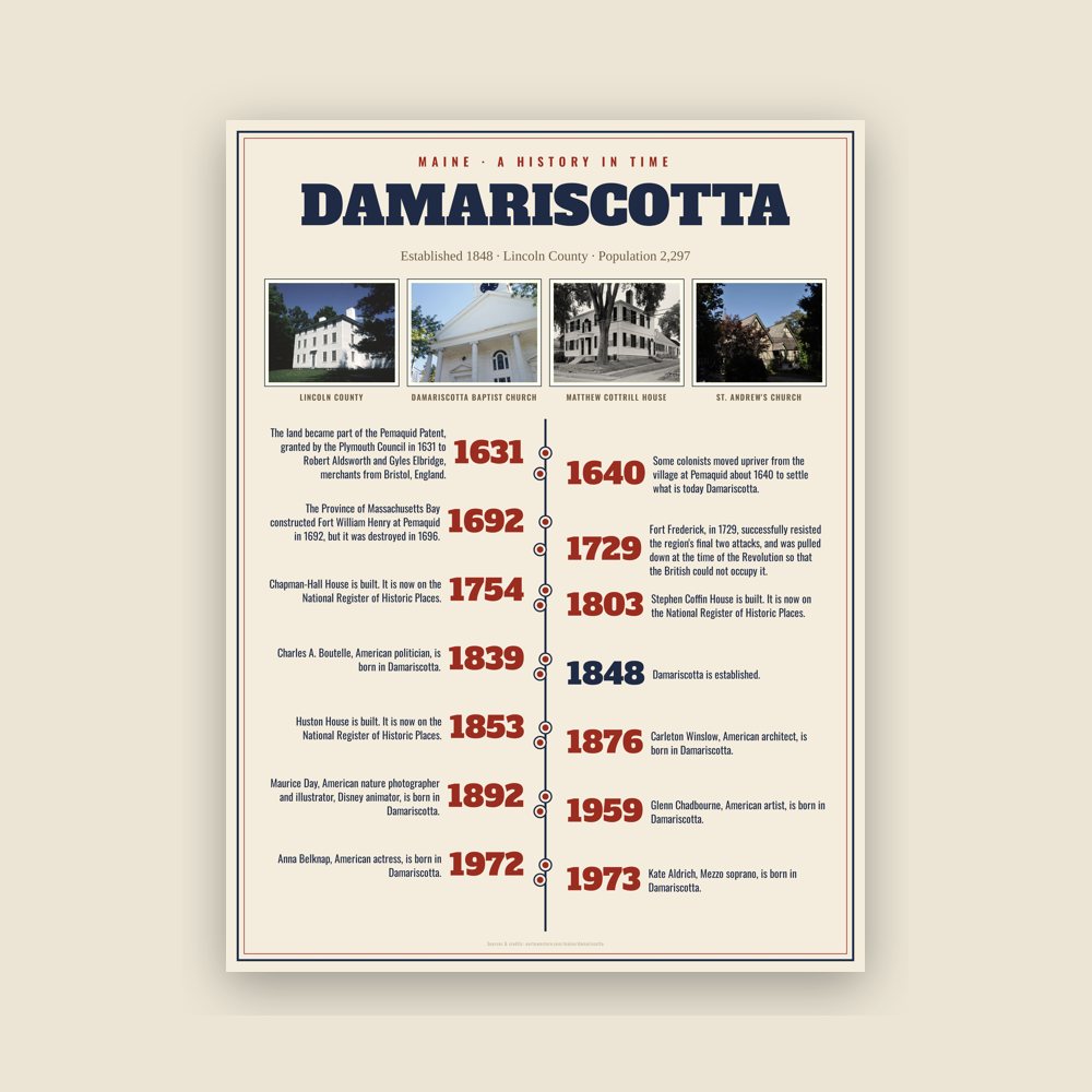
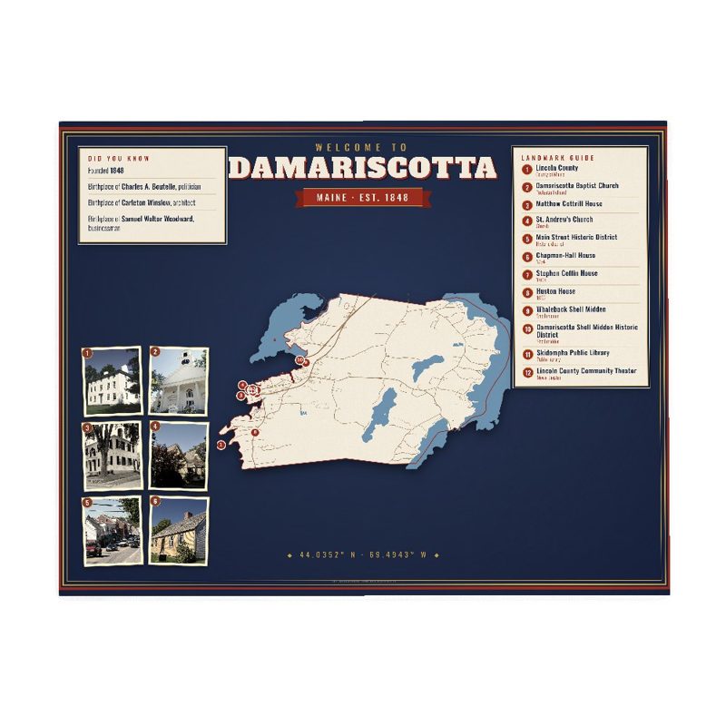
The area was once traversed by Abenaki Indians, who left behind 2,500-year-old oyster shell middens along the banks of the Damariscotta River. The Whaleback Shell Midden is now a state historic site. The land became part of the Pemaquid Patent, granted by the Plymouth Council in 1631 to Robert Aldsworth and Gyles Elbridge, merchants from Bristol, England. At Pemaquid (now Bristol), they built a fort and trading post.
Some colonists moved upriver from the village at Pemaquid about 1640 to settle what is today Damariscotta. But the settlements were attacked in 1676 during King Philip's War, with the inhabitants either driven off or massacred. Attempts to rebuild alternated with further attacks during the French and Indian Wars. The Province of Massachusetts Bay constructed Fort William Henry at Pemaquid in 1692, but it was destroyed in 1696. The last battle of King William's War was on September 9, the Battle of Damariscotta, in which Captain John March killed 25 native men.
Fort Frederick, in 1729, successfully resisted the region's final two attacks, and was pulled down at the time of the Revolution so that the British could not occupy it. With peace at last, Damariscotta grew as a trade center. It was incorporated as a separate town on March 15, 1848, set off from parts of Bristol and Nobleboro.
Read the full history
Damariscotta Etymology
The name Damariscotta is an extreme corruption of the Algonquian word "Madamescontee", meaning "place of an abundance of alewives", which are small, salty fish that spawn in Damariscotta Lake.
The name Darmiscotta was a derivative of Damariscove, mentioned in the 1631 Pemaquid Patent depicting the surrounding water. "Damaris" is of Greek origin meaning gentle or calf. Used as feminine name in the Holy Bible, Book of Acts, Damaris was an inspired Athenean convert. "Cove" is from the English language and its Latin roots meant cave or hut that later implied an enclosed dwelling or safe harbor. The nearby land was named later with the Damariscove in mind. At the time of the earliest British exploration, many desired the territory of Maine be named "New Ireland." Higher authority was not so inclined but the map makers found ways to imply Ireland to place names. The word "Gaels," that meant Ireland in English but in Latin 'scota' had been used by the Old Romans. Addition of a second letter "t" to this Latin root ensured pronunciation would not be confused with Scotia, already in use (Nova Scotia, or New Scotland.) Hence, the English meaning of the word Damarisscotta was "Gentle-Ireland" which without consideration of the industrial scale oyster middens found along the shores of Damariscove, makes little sense. Captain Martin Pring, a renowned, life-long British mariner explored and mapped this part of the Maine coast. Investor Sir Ferdinand Gorges assisted with his map production. Captain Pring would have noticed signs of oyster harvesting. At the time, Royal Land Patents reserved pearls, gold, silver and other valuable minerals for the Crown and often the Crown paid discoverers and especially investors handsomely for their finds. Gorge was so impressed with Pring's oyster midden discovery he funded additional exploration and soon invested with Mason to secure large land patent in 1622 that included Maine. After New Hampshire was divided off, Gorges secured sole ownership of a second Patent for Maine and pinpointed the location for a fort at nearby Bristol, perhaps, located to protect their Damariscove. Out of Maine patent was carved the Pemaquid Patent in 1631, assigned Robert Aldworth and Gyles Elbridge who married Mary (Aldworth) Hooke, widow of William Hooke, in 1639. Specifically, the Pemaquid Patent extended to and included all of Damariscove. Push to name the Territory of Maine, "New Ireland has founding in Ireland's history where pearl fishing was a widespread activity and explains the use of "scota" or "scotta," so meaning Gaels, that was incorporated into the Damariscotta town name. Throughout Ireland, pearls were found in rivers going back to when ancient Irish traded pearls as far away as with Phoenicians from whom they traded pearls for secrets to produce purple dye. Discovery of Damariscove oyster shell middens or potential evidence of a pearl harvesting operation, was a very lucrative find and so valuable, that ruffian seafarers may have celebrated and professed themselves believers all over again, like Damaris was in the Bible. Sovereigns involved in map naming may have had similar sentiment. Early maps not only bore the Royal Seal, but credited a sovereign for naming "the more important features" on the map. While the sovereigns consulted mariner logs, it is unlikely the ship had ever consulted local populations to gain names while navigating the Maine coast for many reasons, but above all, due to the language barrier.
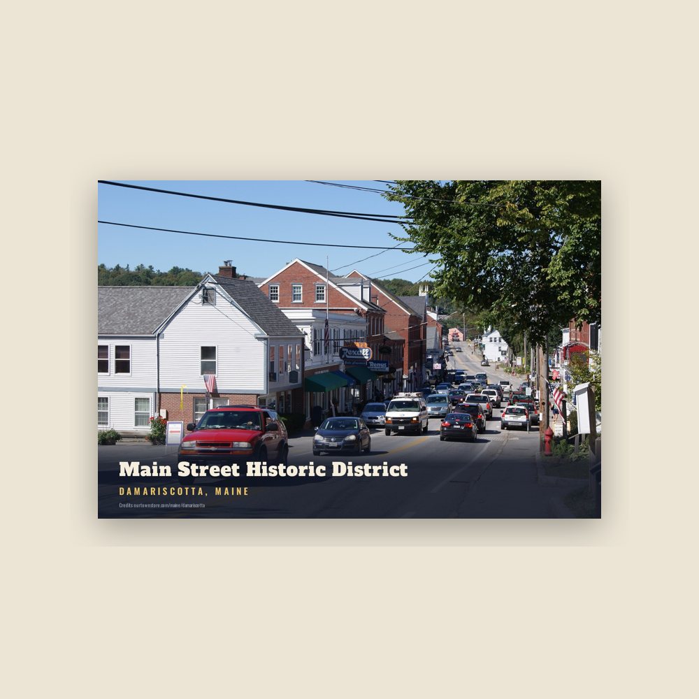
The main village is located at the lower falls and head of navigation on the Damariscotta River. Early industries included two sawmills, a match factory and a tannery. Along the river were established several brickyards, which supplied much of the brick used to build Boston's Back Bay neighborhood. Shipbuilding in particular brought Damariscotta wealth in the 1800s, when clipper ships were launched at the town's shipyards. During that time, many fine examples of Federal, Greek Revival and Italianate style architecture were erected, giving the old seaport a considerable charm which each summer attracts throngs of tourists. Damariscotta is home of the Skidompha Public Library, whose name is an acronym formed from the first letter of several founders' surnames.
The terminus of the Damariscotta River is the Great Salt Bay, a mating area for horseshoe crabs in North America, and the state's first marine protected area. The river is home to 80% of the farmed oysters produced in Maine.
Adapted (trimmed) from the Wikipedia article Damariscotta, Maine, revision 1377163148 by its contributors, licensed CC BY-SA 4.0.
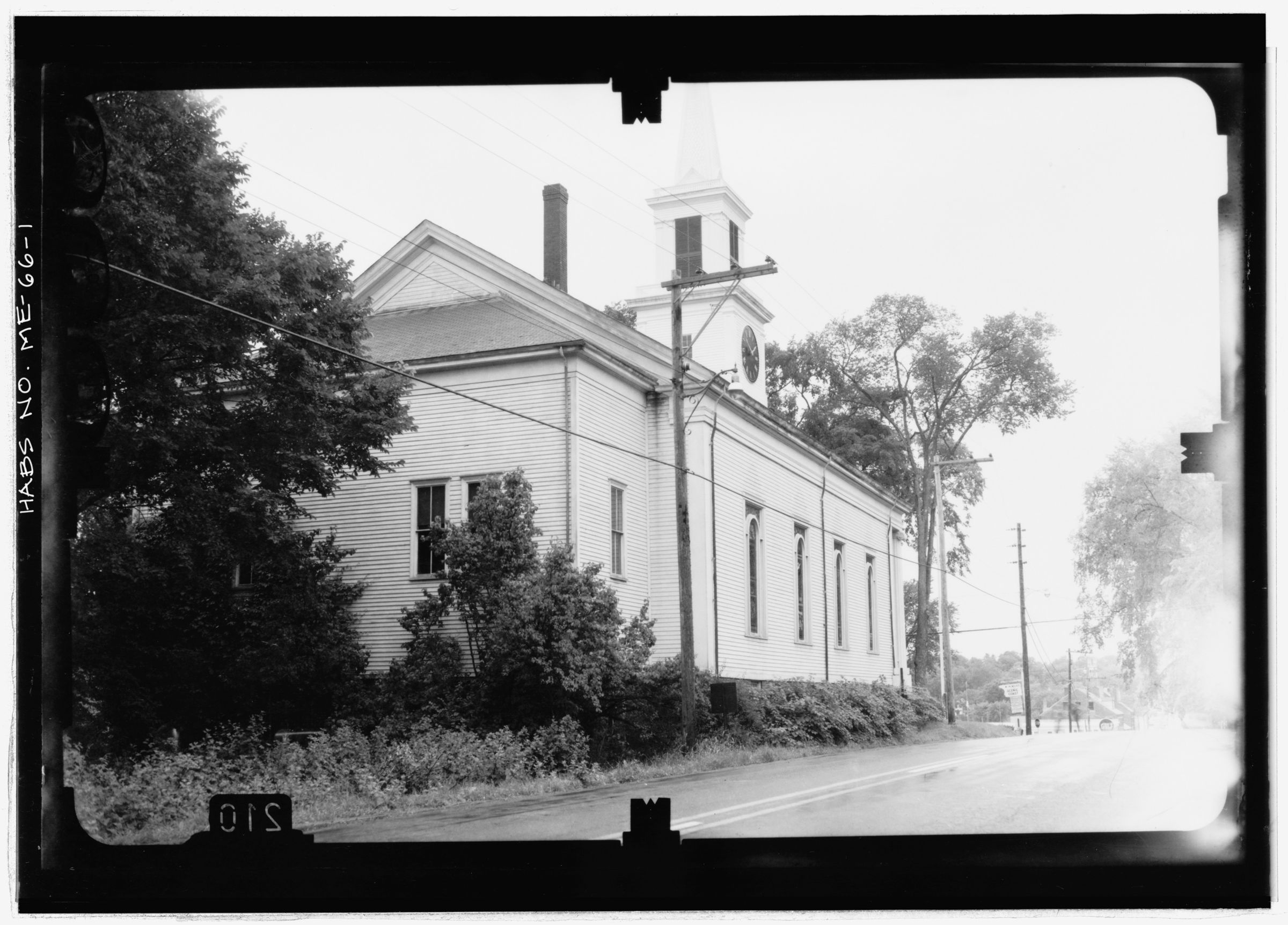
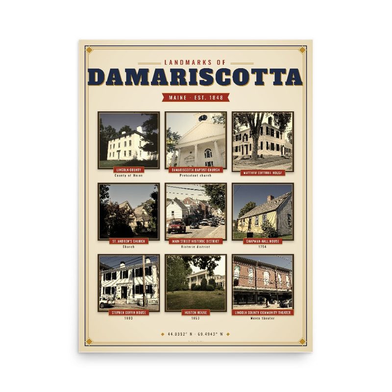















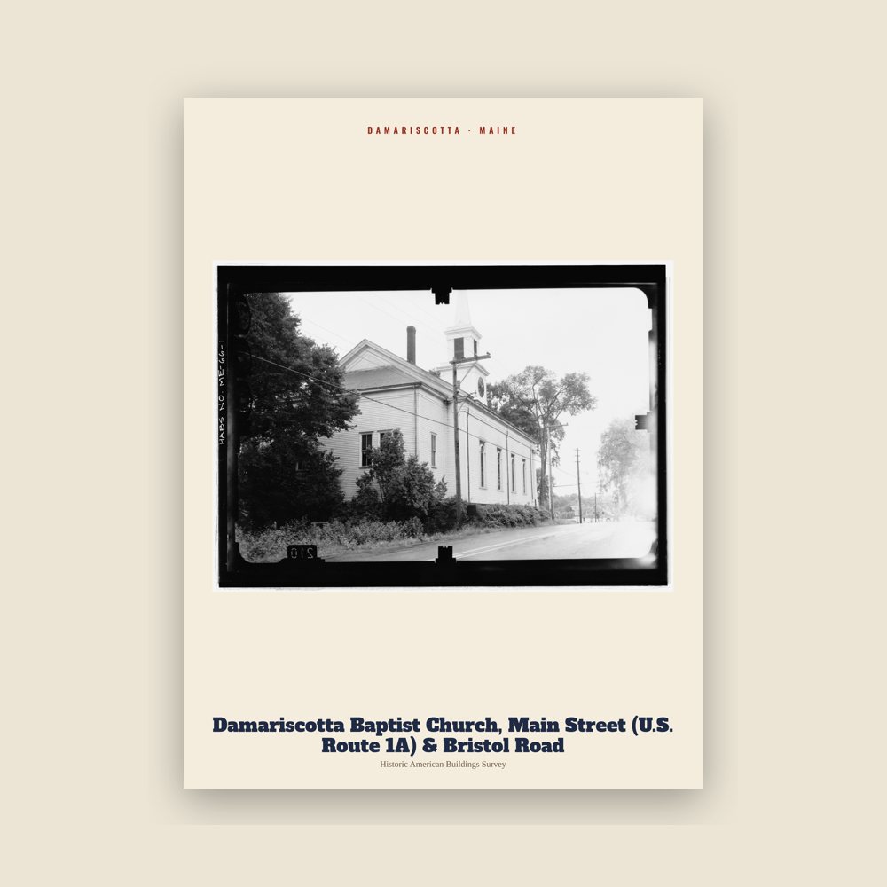

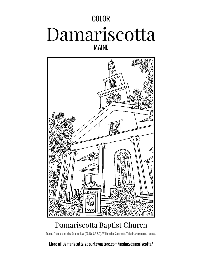 Damariscotta Baptist Church
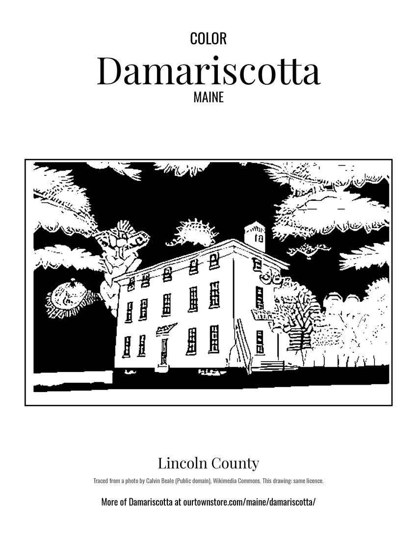 Lincoln County
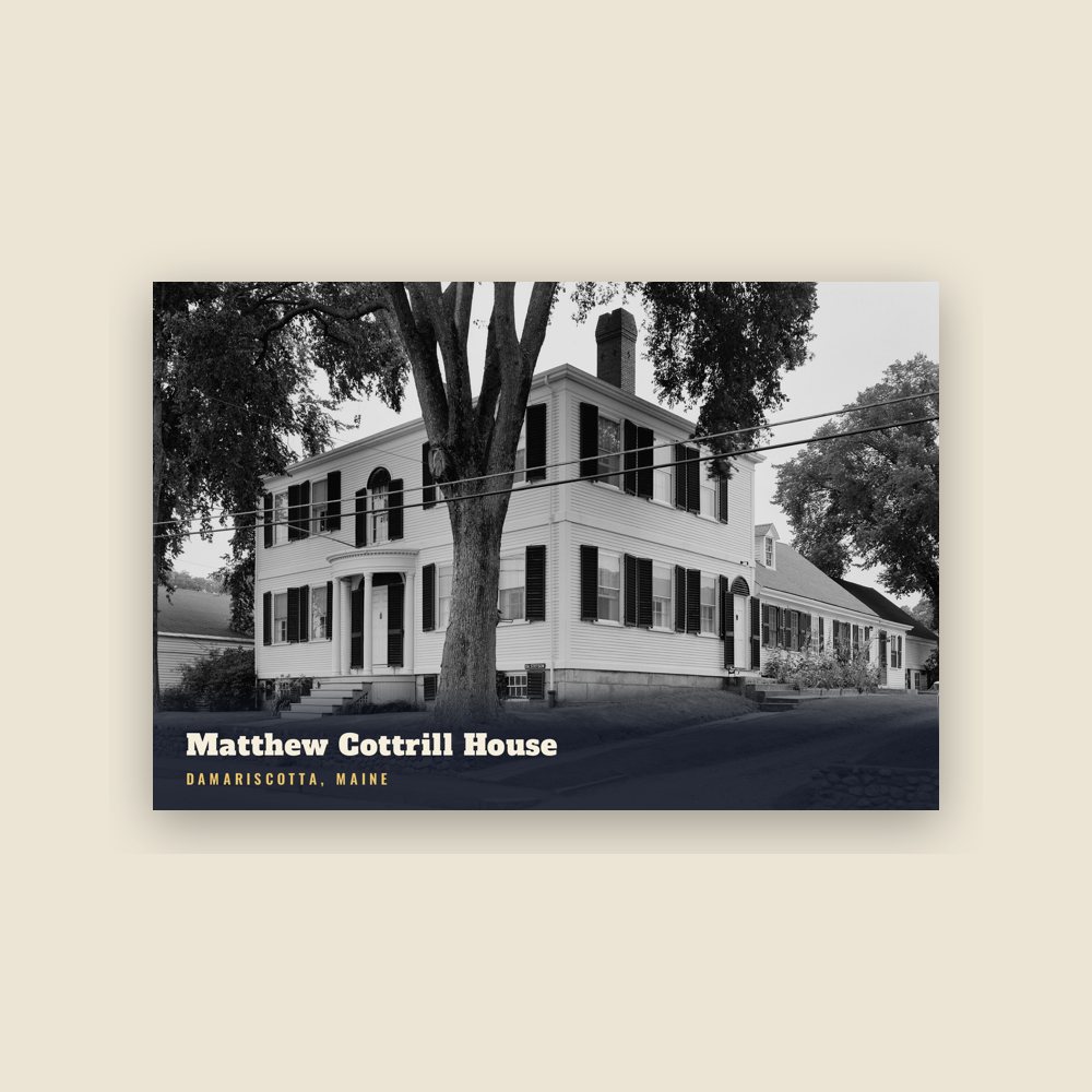
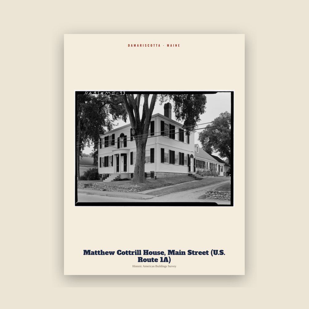
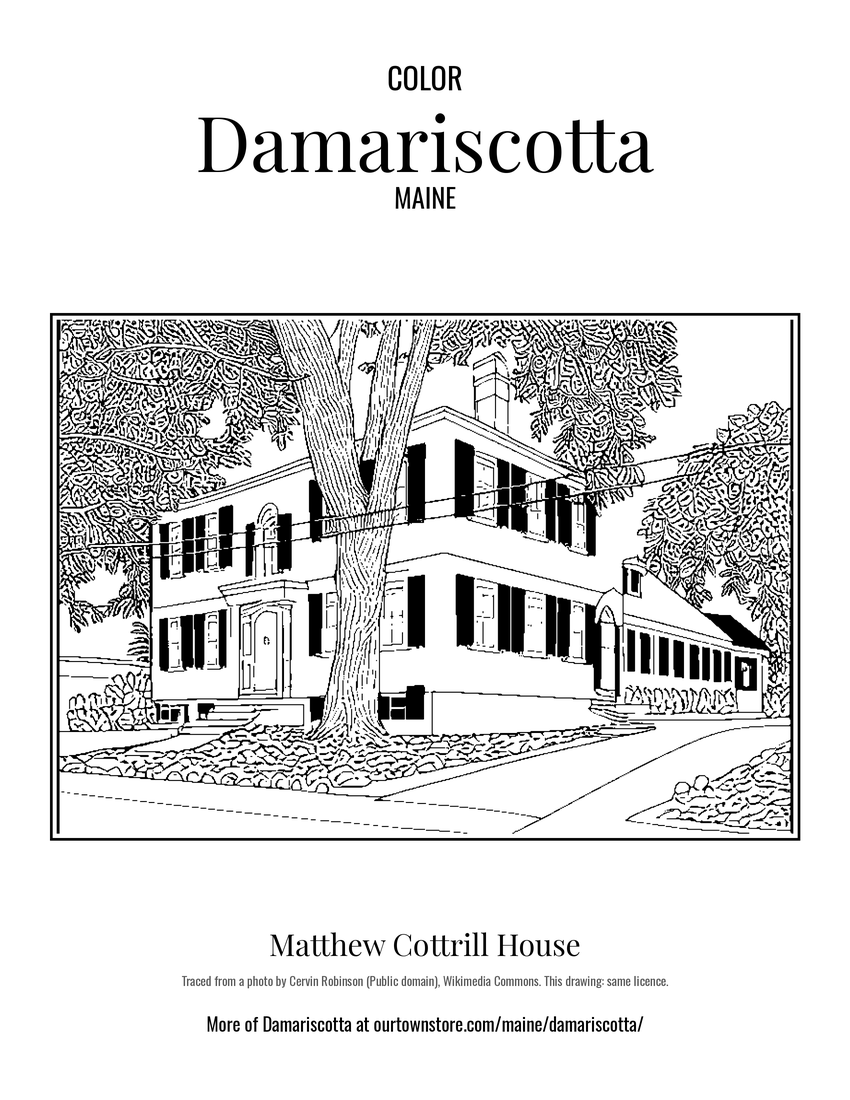 Matthew Cottrill House
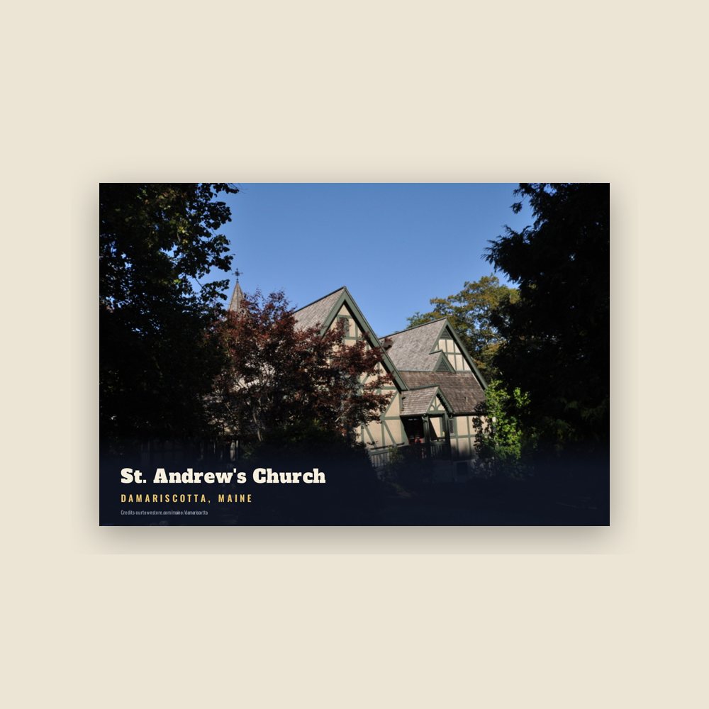
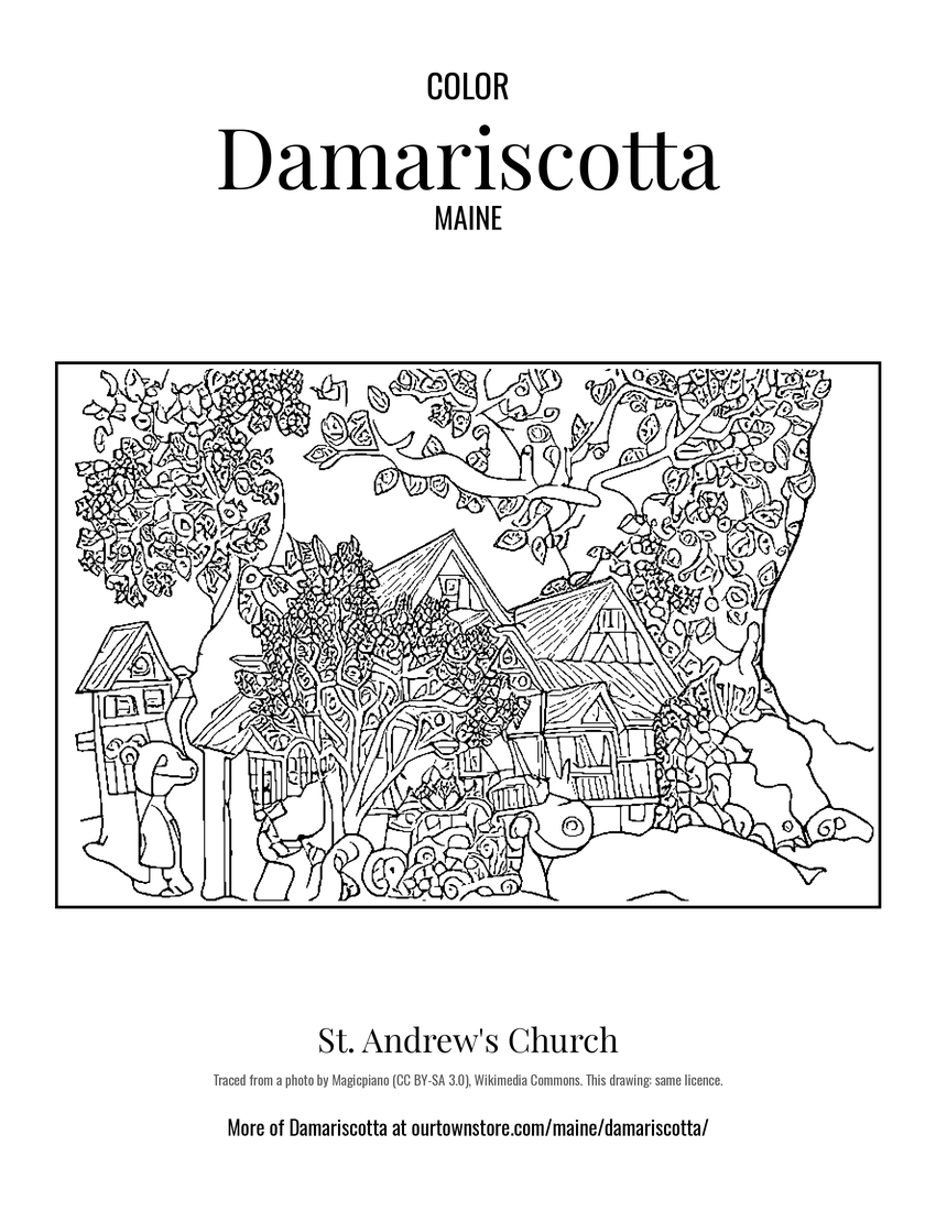 St. Andrew's Church