For thousands of years, the area of Torrance was occupied by the Tongva Native Americans. The land that is now part of the City of Torrance and much of the modern South Bay was part of the extensive marshlands.
Read the full history
Spanish and Mexican eras
In 1784, the Spanish Crown deeded Rancho San Pedro (including present-day Torrance), a tract of over 75,000 acres (300 km2) in the province of Las Californias of New Spain, to soldier Juan José Domínguez.
It was later divided in 1846, with Governor Pío Pico granting Rancho de los Palos Verdes to José Loreto and Juan Capistrano Sepúlveda in the Alta California territory of independent Mexico.
Modern Era
In the early 1900s, real estate developer Jared Sidney Torrance and other investors saw the value of creating a mixed industrial–residential community south of Los Angeles. They purchased part of an old Spanish land grant and hired landscape architect Frederick Law Olmsted Jr. to design a planned community. The resulting town was founded in October 1912 and named after Torrance. The city of Torrance was formally incorporated in May 1921, the townsite initially being bounded by Western Avenue on the east, Del Amo Boulevard on the north, Crenshaw Boulevard on the west, and on the south both by Plaza del Amo east of where it meets Carson Street, and by Carson Street west of where it meets Plaza del Amo.
The first residential avenue created in Torrance was Gramercy and the second avenue was Andreo. Many of the houses on these avenues reached the centennial mark in 2012. Both avenues are located in the area referred to as Old Torrance. This section of Torrance is under review to be classified as a historical district. Some of the early civic and residential buildings were designed by the renowned and innovative Southern California architect Irving Gill, in his distinctive combining of Mission Revival and early Modernist architecture.
Historic Olmsted District
Torrance was planned as a new prototype of a balanced industrial city based on the principles of the Garden City Movement. The original tract developed by the Olmsted Brothers consists of 109 city blocks divided into three sub-districts: residential, commercial, and industrial. The plan is most notable for its axial landscaped downtown commercial neighborhood aligned to have a view of Mount San Antonio in the San Gabriel Mountains. The Olmsted Tract includes a number of buildings designed by the noted Southern California Architect Irving Gill, including the original train depot.
The footprint of the downtown neighborhood, now called Old Torrance, was designed on a diagonal to allow the trade breezes coming from the Pacific Ocean to keep the air clean from industrial pollution for the residential and commercial neighborhoods. The industrial sections of the city were placed on the eastern side of the original tract.
Public transportation played a key role in the founding of Torrance. The Pacific Electric Red Car connected downtown Los Angeles to the new development of downtown Torrance. Designed in 1912 by Irving Gill, the terminus depot of the Red Car line was designed in a Spanish revival style popularized during this era. In May 1913, the Pacific Electric Railroad Bridge was built. Often called the "El Prado Bridge", it further expanded the industrial heart of the South Bay. The concrete double-tracked arch bridge was the Pacific Electric Railway's first interurban line that connected north–south to San Pedro via the Gardena Line. The bridge was used for transporting freight and commuting workers to Torrance factories. The Red Car line connected under the bridge as it connected to the train depot located on Cabrillo Avenue. The bridge no longer carries any rail cars, with Pacific Electric closing the Red Car line to Torrance in the 1940s. The bridge became the city of Torrance's second entry in the National Register of Historic Places on July 13, 1989, and is used as a logo for the city's new wayfinding signage and city materials.
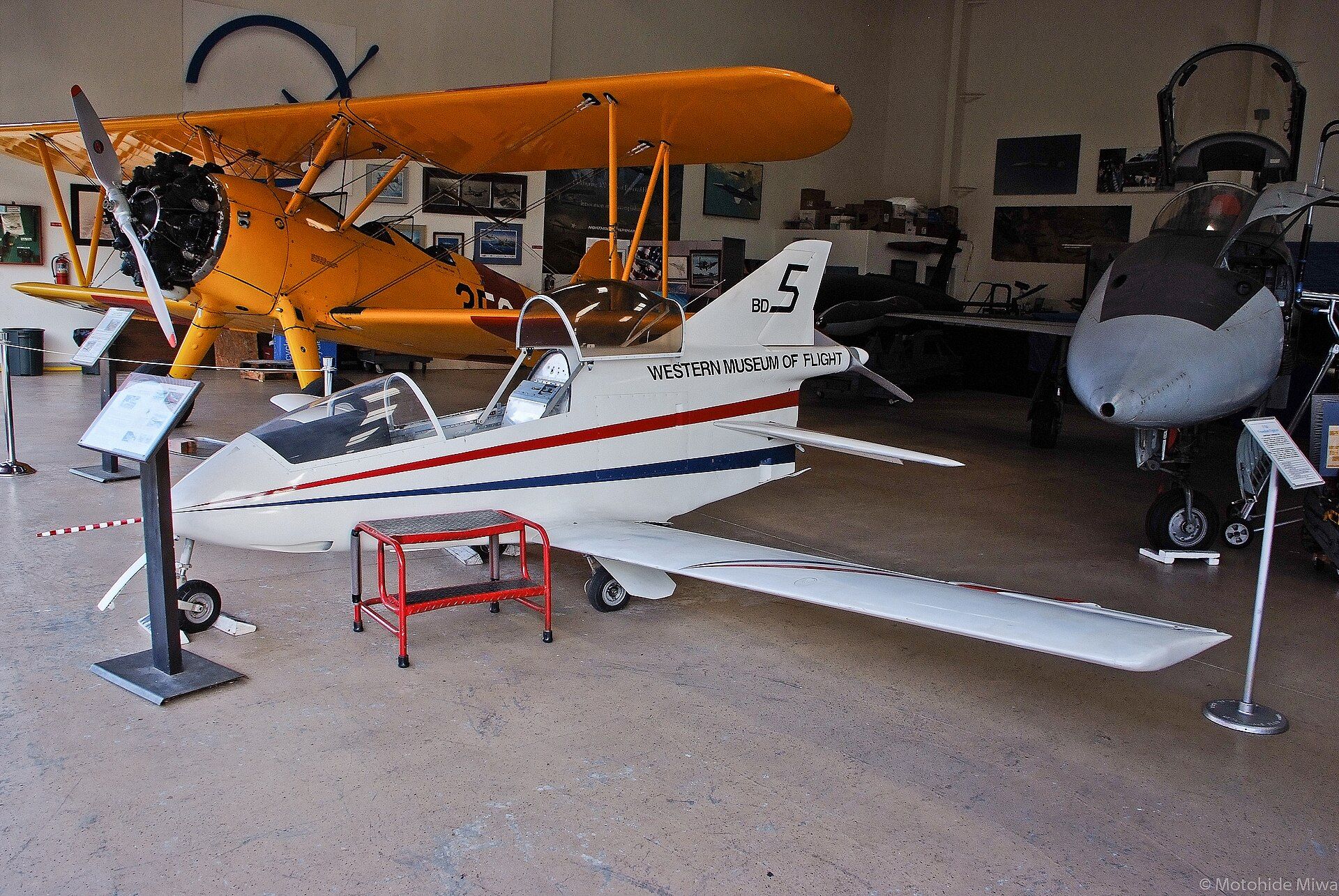













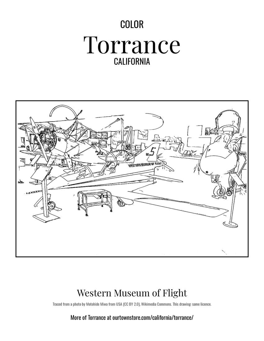 Western Museum of Flight
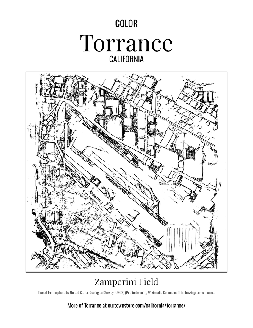 Zamperini Field
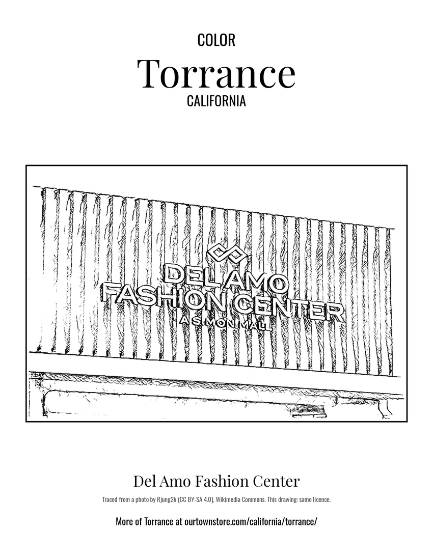 Del Amo Fashion Center
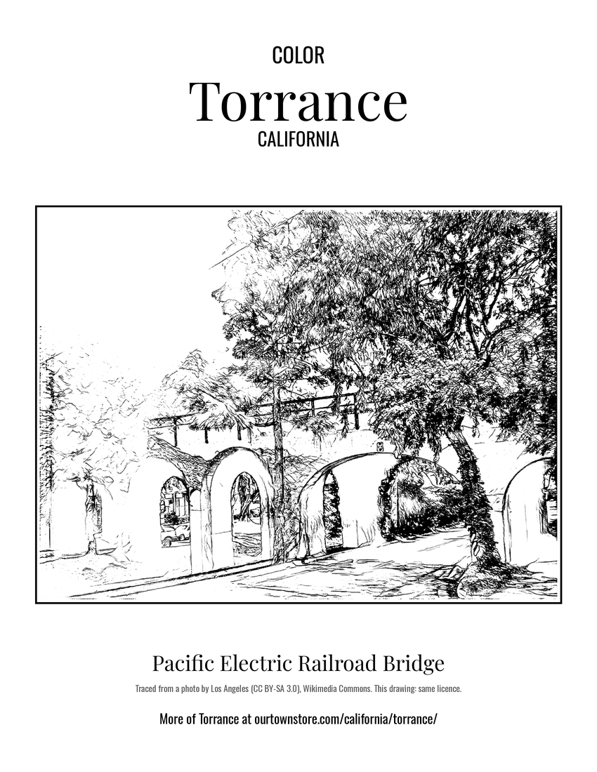 Pacific Electric Railroad Bridge