San Mateo County, California
Street maps, historic prints and keepsakes for 20 San Mateo County towns.
The largest by population is San Mateo (105,661).
| Town | Population |
|---|---|
| Atherton | 7,188 |
| Belmont | 28,335 |
| Brisbane | 4,851 |
| Burlingame | 31,386 |
| Colma | 1,507 |
| East Palo Alto | 30,034 |
| El Granada | 5,481 |
| Foster City | 33,805 |
| Half Moon Bay | 11,795 |
| Hillsborough | 11,387 |
| Menlo Park | 33,780 |
| Millbrae | 23,216 |
| Pacifica | 38,640 |
| Portola Valley | 4,456 |
| Redwood City | 84,292 |
| San Bruno | 43,908 |
| San Carlos | 30,722 |
| San Mateo | 105,661 |
| South San Francisco | 66,105 |
| Woodside | 5,309 |
About these towns
Atherton: The entire area was originally part of the Rancho de las Pulgas. During the 1860s, Atherton was known as Fair Oaks. In 1923, Menlo Park wanted to incorporate its lands to include Fair Oaks, but the Fair Oaks property owners chose to incorporate separately.
Belmont: It is in the San Francisco Bay Area, on the San Francisco Peninsula about halfway between San Francisco and San Jose, on the northern edge of California’s Silicon Valley.
Brisbane: The first recorded inhabitants were the Costanoan Indians. They built dome-shaped dwellings of boughs and tules. By 1776, Spanish explorers had arrived and the Franciscan missionaries soon followed leaving numerous large land grants in their wake.
Burlingame: Burlingame is situated on land previously owned by San Francisco-based merchant William Davis Merry Howard. Howard planted many eucalyptus trees on his property and retired to live on the land.
Colma: The community of Colma was formed in the 19th century as a collection of homes and small businesses along El Camino Real and the adjacent San Francisco and San Jose Railroad line.
East Palo Alto: The Ohlone tribe of Native Americans inhabited this area at least by 1500 to 1000 BC. One tumulus was discovered in 1951 during development of the University Village subdivision near today's Costaño School.
El Granada: El Granada's unusual concentric-circular street layout was designed by the influential architect and city planner Daniel Burnham. Burnham's other works included overseeing the design for the 1893 Columbian Exposition in Chicago and designing the 1902 Flatiron Building in New York City.
Foster City: Foster City was founded in the 1960s, built on the existing Brewer Island in the marshes of the San Francisco Bay on the east edge of San Mateo, enlarged with engineered landfill.
Half Moon Bay: Half Moon Bay began as a rural agricultural area, primarily used by Mission San Francisco de Asís (established in 1776) for grazing cattle, horses, and oxen.
Hillsborough: Hillsborough is located on the Rancho San Mateo Mexican land grant which was purchased by William Davis Merry Howard, son of a wealthy Hillsborough, New Hampshire, shipping magnate, in 1846.
Menlo Park: Before and during the 1849 Gold Rush, successful businessmen from San Francisco, like Faxon Atherton and George C. Johnson began investing in real estate on this portion of the peninsula located midway between San Francisco and San Jose.
Millbrae: The oral tradition of the Ohlone people suggests they have been living in the Bay Area for thousands of years. Anthropological evidence suggests Ohlone ethnogenesis occurred around 700 CE following a wave of migration from the Central Valley.
Pacifica: Before European settlers arrived, Pacifica was home to two significant Ohlone Indian villages: Pruristac located at San Pedro Creek near present-day Adobe Drive, and Timigtac on Calera Creek in the Rockaway Beach neighborhood.
Portola Valley: The Native Americans already present were Ohlone and specifically the group (or groups) known as Olpen or Guemelento but these were later moved to Mission Dolores and Mission Santa Clara de Asís which claimed the land and peoples.
Redwood City: Redwood City incorporated in 1867, being the first city in San Mateo County to do so; it has remained the county seat since the county's formation in 1856.
San Bruno: San Bruno was the location of the Ohlone village Urebure. It was explored in November 1769 by a Spanish expedition led by Gaspar de Portolà.
San Carlos: Prior to the Spanish arrival in 1769, the land of San Carlos was occupied by a group of Native Americans who called themselves the Lamchins.
San Mateo: In 1789, the Spanish missionaries had named a Native American village along Laurel Creek as Los Laureles or the Laurels (Mission Dolores, 1789).
South San Francisco: Parts of what is now South San Francisco have been populated for more than 5,000 years. The northern San Francisco Peninsula was inhabited by the Ramaytush, a linguistic sub-group of Ohlone people.
Woodside: The Woodside area was originally home to the Ohlone tribe. In 1769, led by Gaspar de Portolá, Spanish explorers searching for San Francisco Bay camped at a site near Woodside.
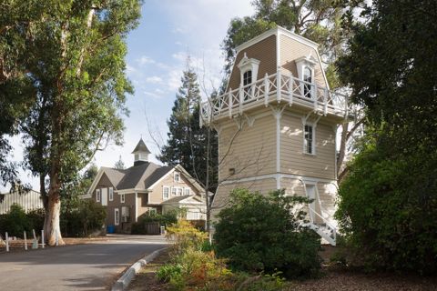 AthertonCalifornia
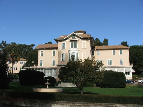 BelmontCalifornia
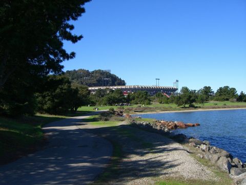 BrisbaneCalifornia
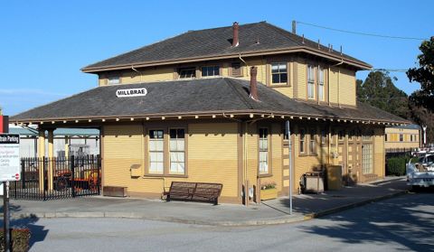 BurlingameCalifornia
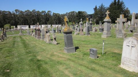 ColmaCalifornia
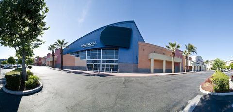 East Palo AltoCalifornia
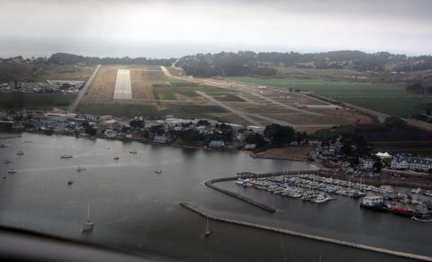 El GranadaCalifornia
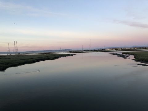 Foster CityCalifornia
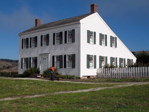 Half Moon BayCalifornia
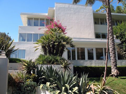 HillsboroughCalifornia
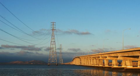 Menlo ParkCalifornia
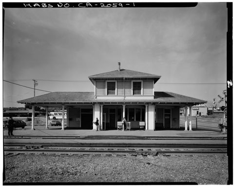 MillbraeCalifornia
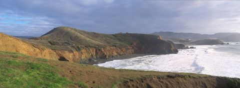 PacificaCalifornia
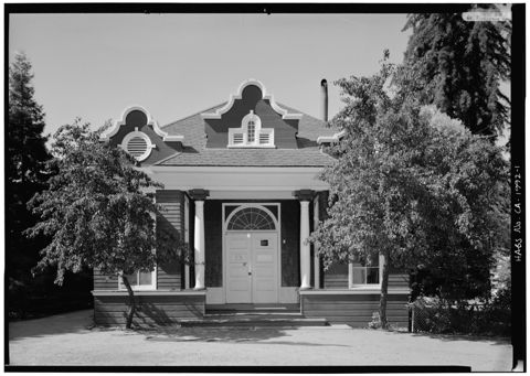 Portola ValleyCalifornia
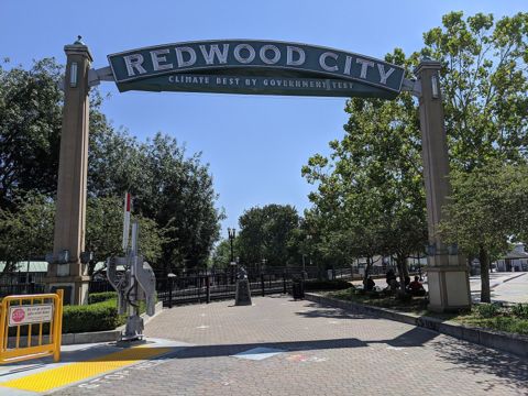 Redwood CityCalifornia
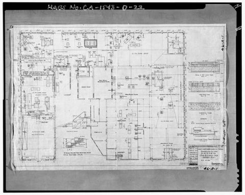 San BrunoCalifornia
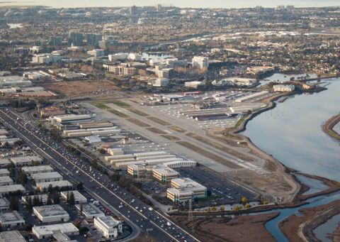 San CarlosCalifornia
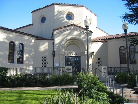 San MateoCalifornia
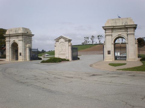 South San FranciscoCalifornia
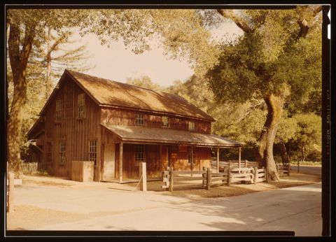 WoodsideCalifornia
Founding years, populations and town notes come from each town's Wikipedia and Wikidata entries. All California towns.