A short history of Cerritos
Early history
Cerritos was originally inhabited by Native Americans belonging to the Tongva (or "People of the Earth"). The Tongva were called the "Gabrieleños" by the Spanish settlers after the nearby Mission San Gabriel Arcángel. The Tongva were the largest group of indigenous peoples in Southern California as well as the most developed in the region.
The Tongva lived off the land, deriving food from the animals or plants that could be gathered, snared or hunted, and grinding acorns as a staple. No Tongva village sites were found within the city, but it was a common passing point between the natives.
Spanish King Charles III in 1784, which he named Rancho Los Nietos. It covered 300,000 acres (120,000 hectares) of eastern Los Angeles County and western Orange County. Juan José Nieto was left in charge of his father's property following his death in 1804.
Due to the nationalization of church property by the Mexican government, Governor José Figueroa signed a document on May 17, 1834, that confirmed the land to the Nieto heirs, but divided into five ranchos. Juan José Nieto retained the largest plot, called Rancho Los Coyotes. Nieto called the area of Rancho Los Coyotes "cerritos" or "little hills". He sold the ranch to Juan Bautista Leandry in 1840, renaming it "La Buena Esperanza", although it was still widely known as Rancho Los Coyotes. Leandry died in 1842 and his widow, Francisca Uribe, married Francisco de Campo; they lived in the ranch house for the next twenty years. Andrés Pico had also become a half-owner of the ranch by 1855.
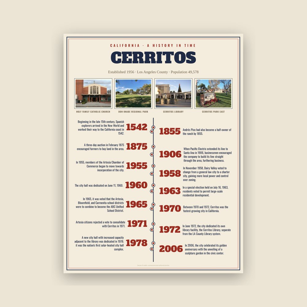
In the 1850s, the de Campos and Pico ran into financial trouble and ended up transferring ownership of the rancho to Abel Stearns. Stearns, after being threatened with losing all of his property due to delinquent taxes, sold most of his property to the Robinson Trust in 1868. In 1869, Daniel Gridley bought 1,600 acres (650 ha) of the former Rancho Los Coyotes from the Trust and began to develop his own farm. A three-day auction in February 1875 encouraged farmers to buy land in the area. When Pacific Electric extended its line to Santa Ana in 1906, businessmen encouraged the company to build its line straight through the area, furthering business.
Read the full history
Incorporation
In 1955, members of the Artesia Chamber of Commerce began to move towards incorporation of the city. They planned to have Artesia encompass the area south of Alondra Boulevard to the confluence of the San Gabriel River and Coyote Creek and become a more residential area, pushing the dairymen out. They dairymen planned create a vote to incorporate an agricultural community separate from Artesia, which they called Dairy Valley. The city's name symbolized the more than 400 dairies and 100,000 cows found within its limits. The cows outnumbered the 3,439 residents by a factor of 29 to 1. The incorporation election was held in 1956, and the city was voted to be incorporated, with 54.9% of respondents choosing that option, with a difference of only 60 votes. The city of Dairy Valley was incorporated on April 24, 1956. Jack R. Bettencourt was elected to be Dairy Valley's first mayor that evening.
In November 1958, Dairy Valley voted to change from a general law city to a charter city, gaining more local power and control over zoning. Mayor Jim Albers was threatened with recall in 1960 following a controversy over declining the location of a hospital, which he feared would have a negative effect on neighboring dairies. The city hall was dedicated on June 11, 1960. As land values and property taxes in California rose in the early 1960s, agriculture became increasingly unprofitable, and development pressures increased. Most dairymen were retiring or moving to Chino or the Central Valley. Freeways constructed in the area displaced farmers but made the city more attractive to commuting homeowners.
In a special election held on July 16, 1963, residents voted to permit large-scale residential development. In 1965, it was voted that the Artesia, Bloomfield, and Carmenita school districts were to combine to become the ABC Unified School District. As a reflection of its newly planned suburban orientation, the city's name was formally changed to Cerritos on January 10, 1967, naming it after the nearby Rancho Los Cerritos and to associate with Cerritos College in neighboring Norwalk. Other names in contention were "Los Coyotes" and "Freeway City". The city planned to appeal to middle-class homeowners, with an abundance of commercial and recreation centers.
Between 1970 and 1972, Cerritos was the fastest-growing city in California. Its population grew from 4,373 in 1968 to 40,750 in 1973. Artesia citizens rejected a vote to consolidate with Cerritos in 1971. In June 1972, the city dedicated its own library facility, the Cerritos Library, separate from the LA County Library system. The Los Cerritos Center also fully opened that year. A new city hall with increased capacity adjacent to the library was dedicated in 1978; it was the nation's first solar-heated city hall complex. In the 1970s, the city was known for its restrictive signage ordinances, including a well-known incident in which toy company Toys "R" Us was not allowed to reverse the "R" on their store sign. Ground was broken on the Cerritos Auto Square in 1979.
On August 31, 1986, Aeroméxico Flight 498, on approach to Los Angeles International Airport from Mexico City, was struck by a small Piper aircraft. A total of 82 people died, including 15 people on the ground. The city's transportation shuttle system, Cerritos on Wheels (COW), went into service in August 1993. In 1994, the Cerritos Towne Center was completed, with the Cerritos Center for the Performing Arts within first opening its doors in January a year earlier. To celebrate the coming of the millennium in 2000, the city conducted a $40 million renovation of its library, which was completed in 2002. In 2006, the city celebrated its golden anniversary with the unveiling of a sculpture garden in the civic center.
Adapted (trimmed) from the Wikipedia article Cerritos, California, revision 1378529323 by its contributors, licensed CC BY-SA 4.0.

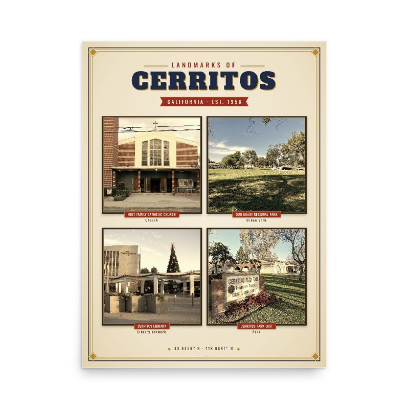


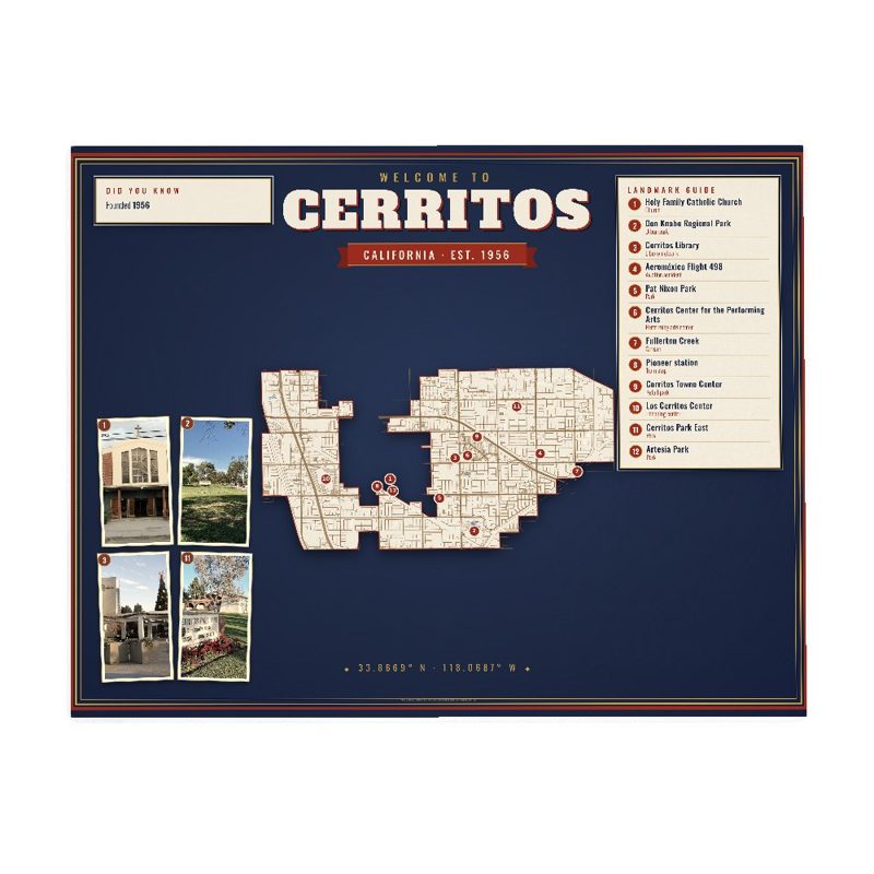












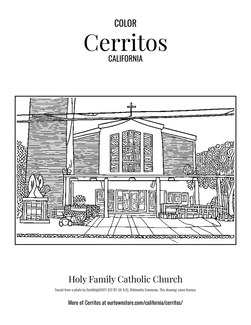 Holy Family Catholic Church
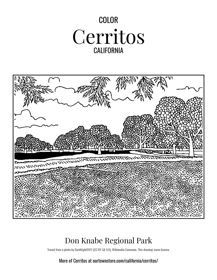 Don Knabe Regional Park
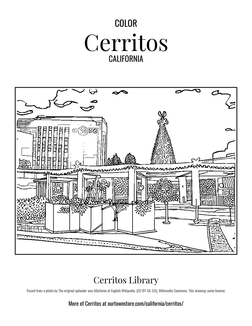 Cerritos Library
 Cerritos Park East