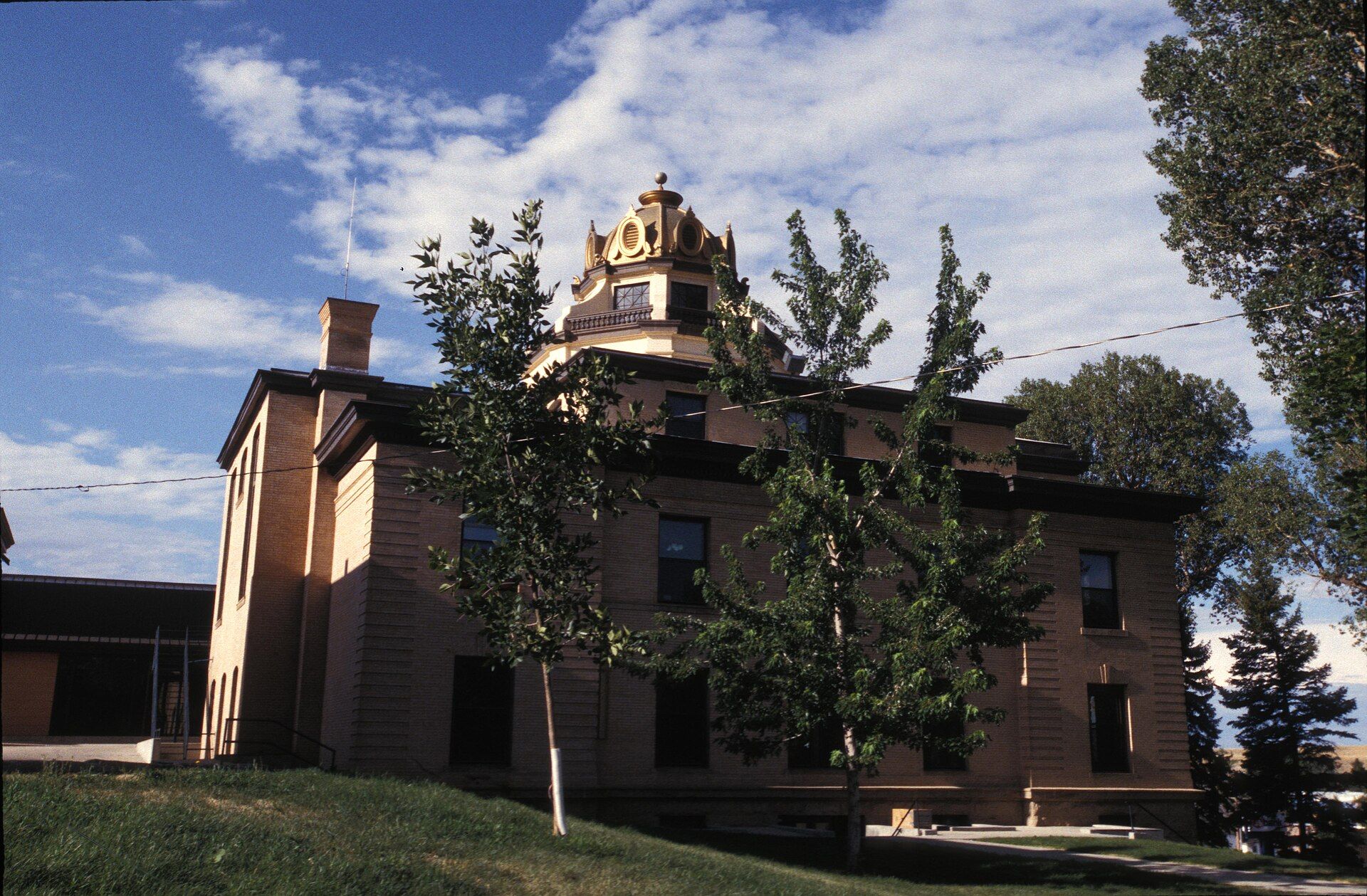
It is the principal town of the Sheridan, Wyoming, Micropolitan Statistical Area which encompasses all of Sheridan County. Landmarks include Sheridan County, Battle of the Hundred-in-the-Hands and Wagon Box Fight. Sheridan is the birthplace of John Howard Pyle, politician.
Every piece is drawn from Sheridan's own map data and historic archives, then printed and shipped from the USA when you order. No two towns look alike.
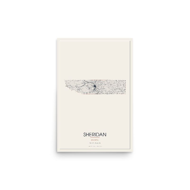
Every road in town, on archival matte paper
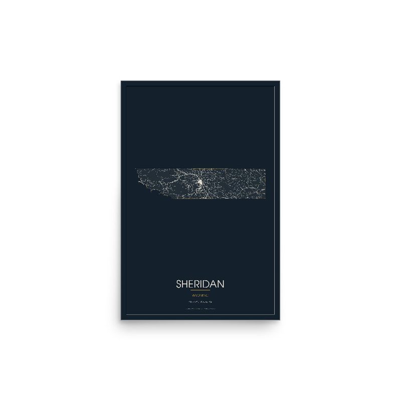
The same map, in navy and silver

Nine local landmarks, archival matte
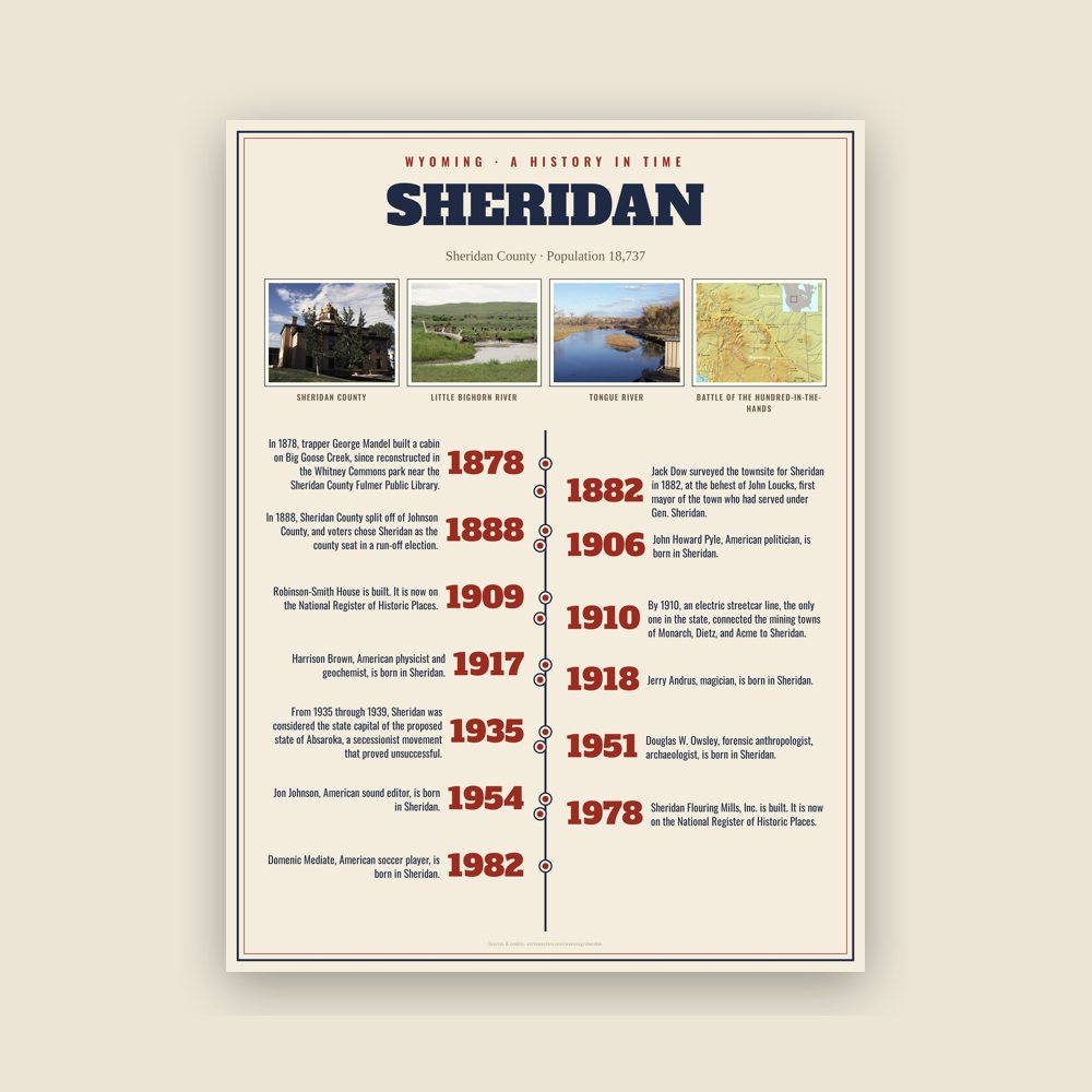
The town's story in dates, from its own records, for home or classroom
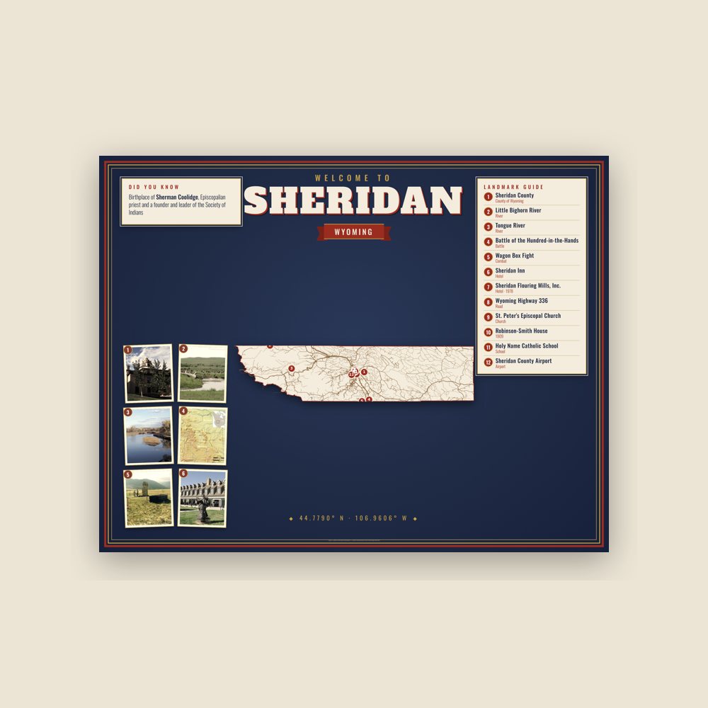
Map of local landmarks, washable fabric

Heavy-blend fleece, street map printed on the back

Soft Bella+Canvas jersey

Glossy ceramic, dishwasher safe
Ceramic keepsake, gold ribbon

Weatherproof, for the front walk
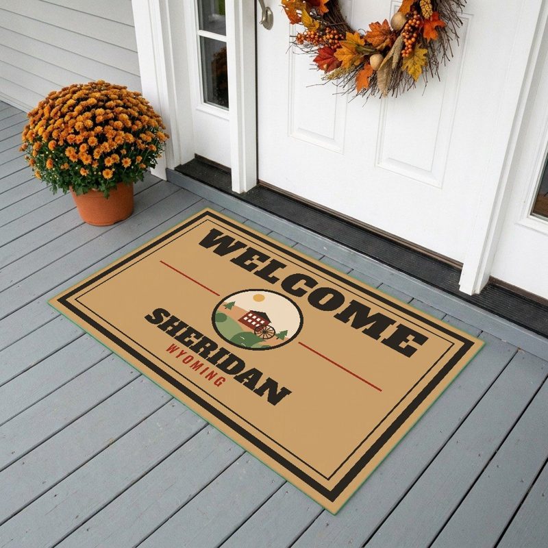
24″×16″, printed coir-look fibers, rubber back
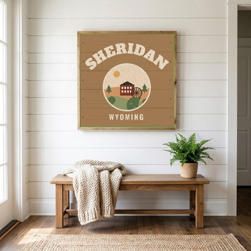
12″×12″ printed wood, ready to hang
Soft-touch, zip cover

Sturdy all-over-print tote

Glossy top, cork back
Soft fleece, 50″×60″
20 oz, double-wall stainless
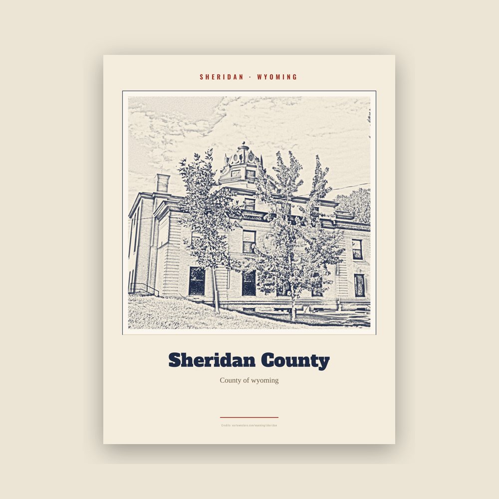
Archival matte print of a local landmark, credited to its photographer
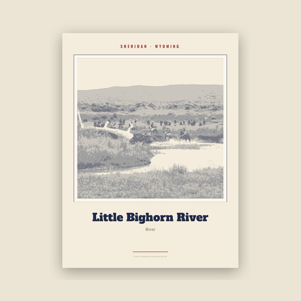
Archival matte print of a local landmark, credited to its photographer
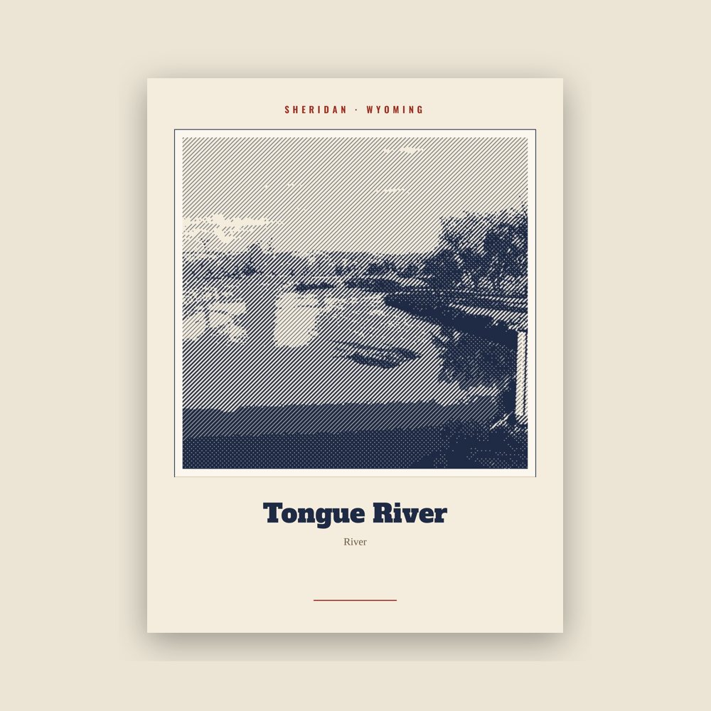
Archival matte print of a local landmark, credited to its photographer
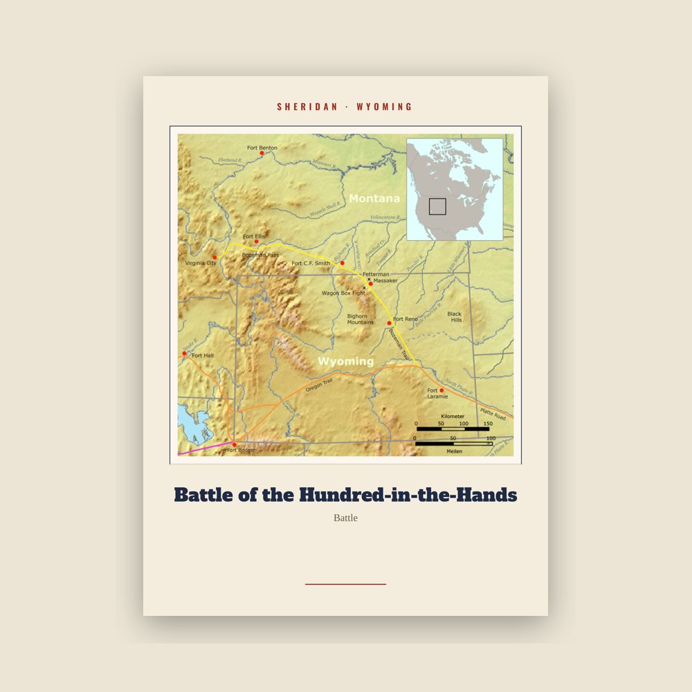
Archival matte print of a local landmark, credited to its photographer
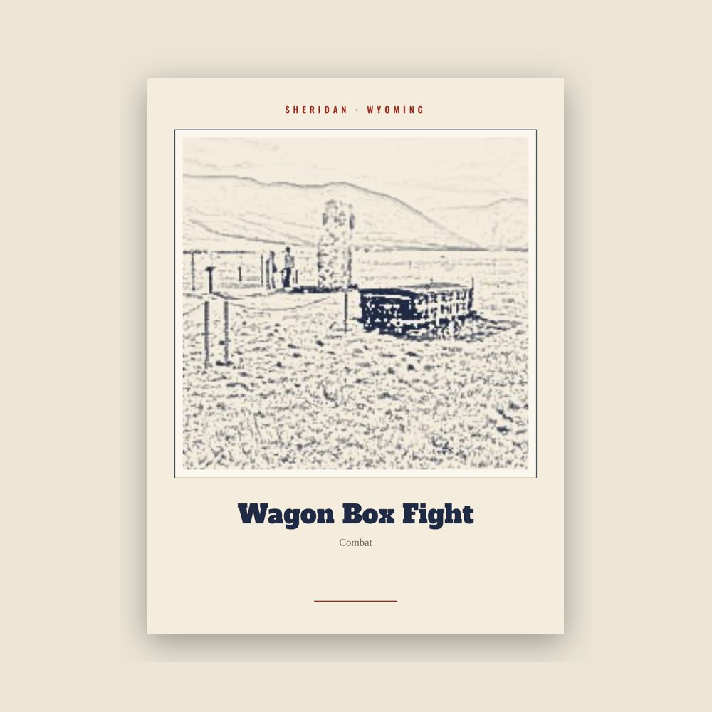
Archival matte print of a local landmark, credited to its photographer
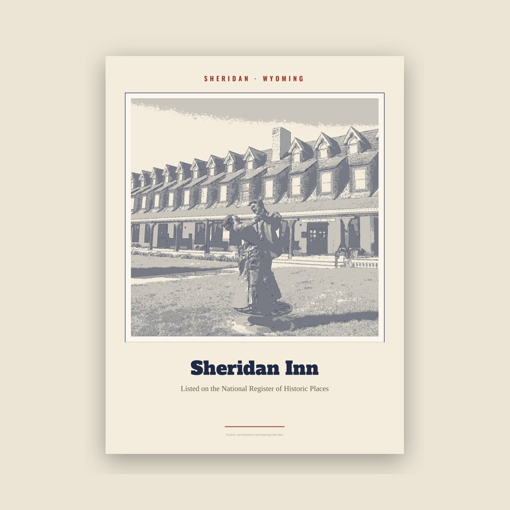
Archival matte print of a local landmark, credited to its photographer
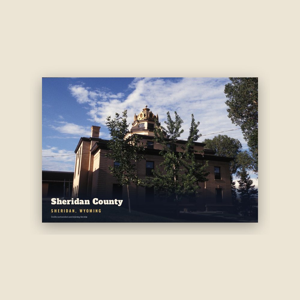
6″×4″ postcard, glossy front
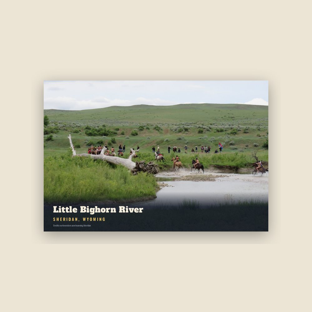
6″×4″ postcard, glossy front
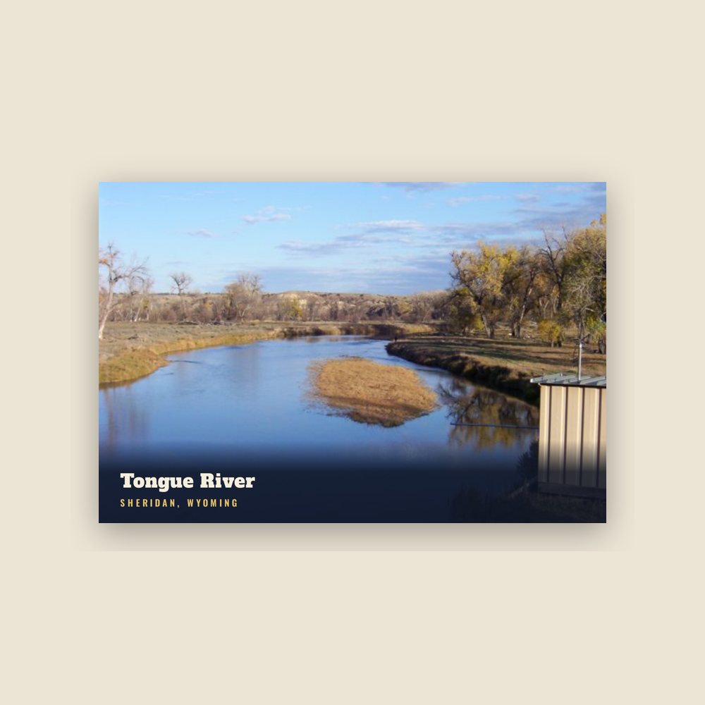
6″×4″ postcard, glossy front
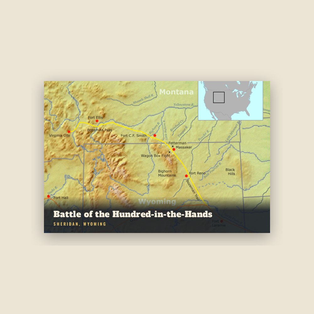
6″×4″ postcard, glossy front
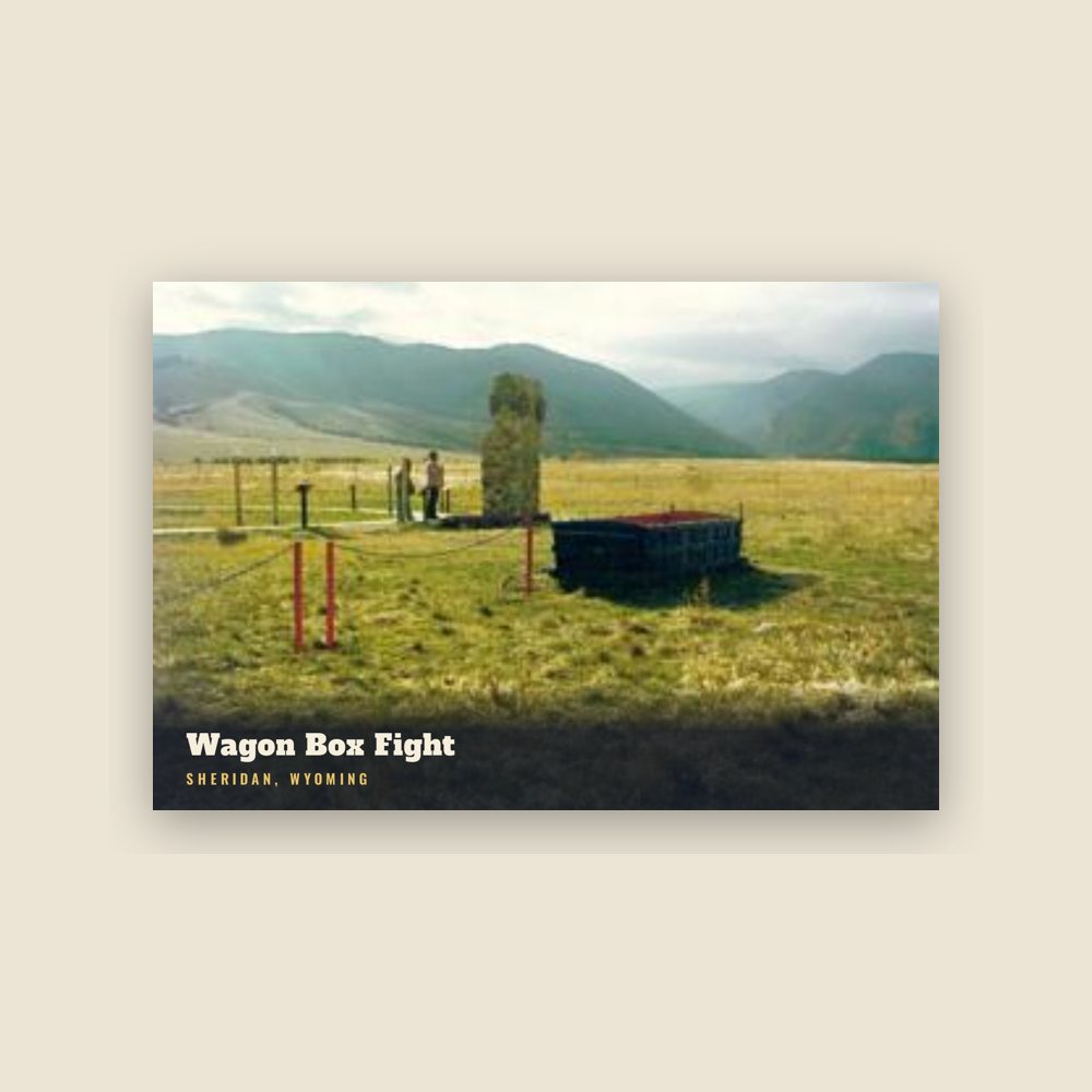
6″×4″ postcard, glossy front
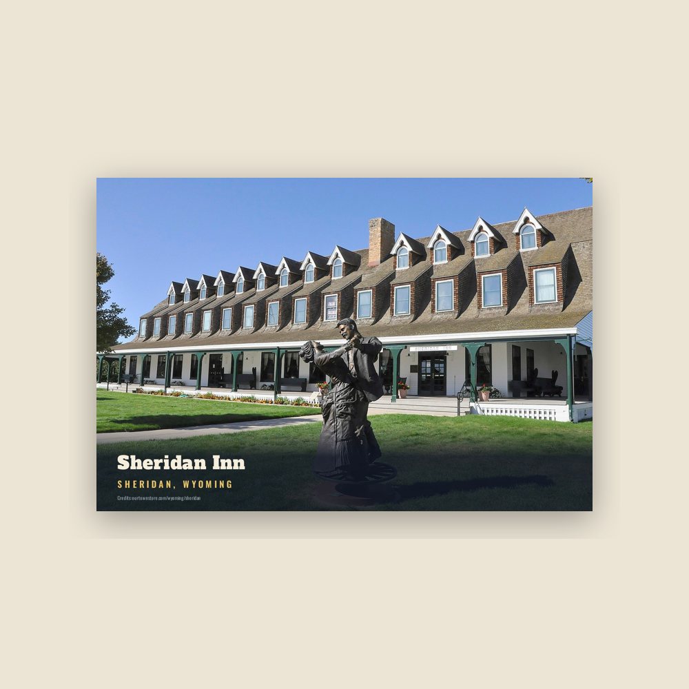
6″×4″ postcard, glossy front
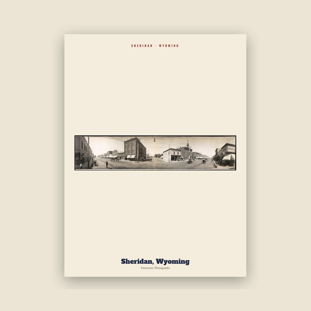
From the Library of Congress collections: a historic survey drawing or photograph of the town
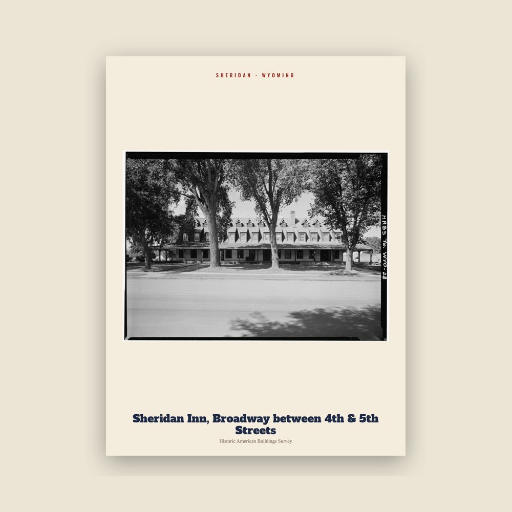
From the Library of Congress collections: a historic survey drawing or photograph of the town
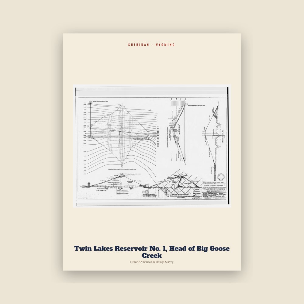
From the Library of Congress collections: a historic survey drawing or photograph of the town
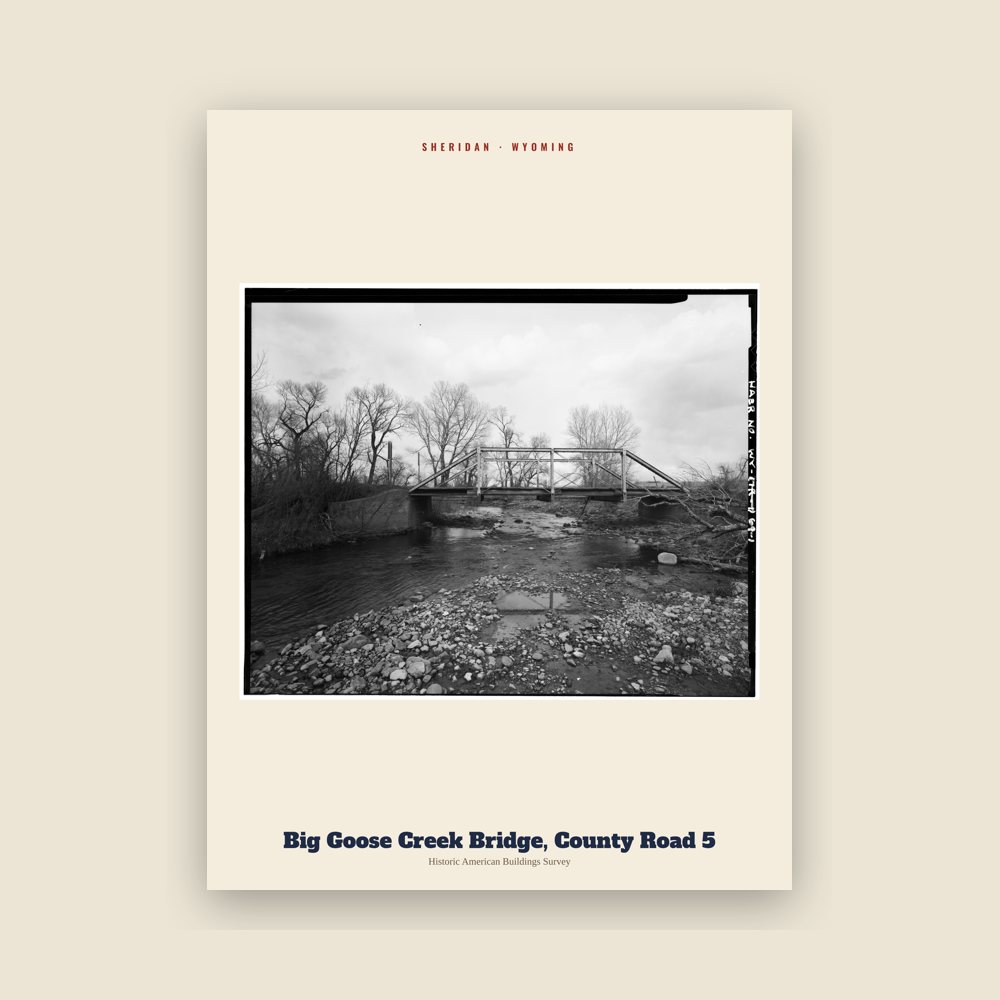
From the Library of Congress collections: a historic survey drawing or photograph of the town
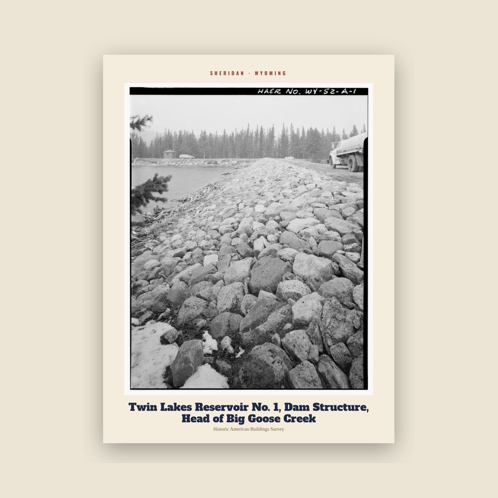
From the Library of Congress collections: a historic survey drawing or photograph of the town
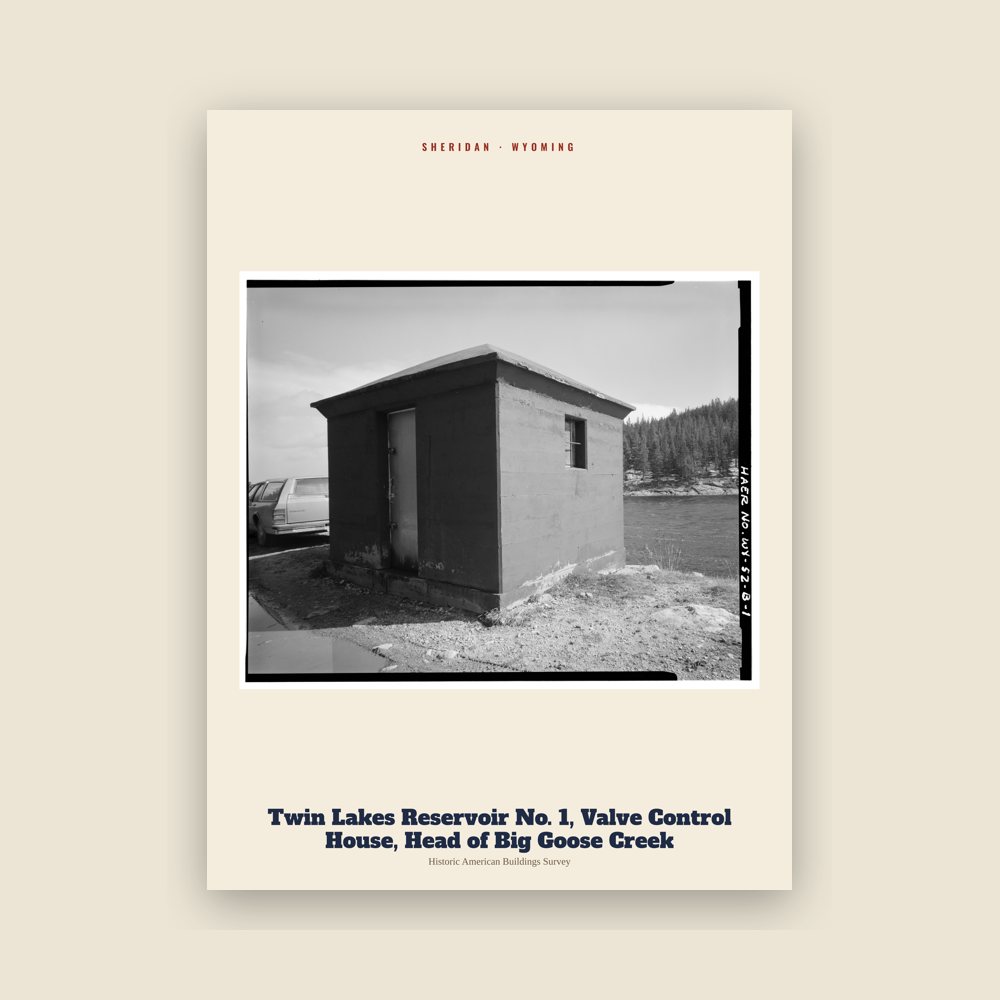
From the Library of Congress collections: a historic survey drawing or photograph of the town
Population 1890: 281 → 2010: 17,444 → 2020: 18,737
From Wikidata (CC0).
Several battles between US Cavalry and the Sioux, Cheyenne, Arapaho, Shoshone, and Crow Indian tribes occurred in the area in the 1860s and 1870s before the town was built.
In 1878, trapper George Mandel built a cabin on Big Goose Creek, since reconstructed in the Whitney Commons park near the Sheridan County Fulmer Public Library. Jack Dow surveyed the townsite for Sheridan in 1882, at the behest of John Loucks, first mayor of the town who had served under Gen. Sheridan.
In the early 1880s, the nearby town of Big Horn was larger in population. In 1888, Sheridan County split off of Johnson County, and voters chose Sheridan as the county seat in a run-off election. The arrival of the Burlington and Missouri Railroad in 1892 boosted Sheridan's economic status, leading to the construction of the Sheridan Inn, where Buffalo Bill Cody was once a financial partner. Railroad maintenance facilities and railroad-tie treatment plants were significant employers in Sheridan's first decades. The railroad created numerous side industries as well as export opportunities for raw materials. Maps of the day show Sheridan as part of the "hinterland" providing raw goods to cities like Chicago. For the next twenty years the economy and population boomed.
Numerous coal mines funded by Chicago investors opened along Tongue River north of Sheridan in the 1890s, sparking immigration, and a major building boom that built Sheridan's brick downtown district. By 1910, an electric streetcar line, the only one in the state, connected the mining towns of Monarch, Dietz, and Acme to Sheridan.
Sheridan was settled by farmers from midwestern states like Illinois, and a few people who came up the cattle trails from Texas, like John B. Kendrick, who went on to be a cattle tycoon and Governor of Wyoming. Many immigrants from Poland, Italy, Greece, Germany, Mexico, and Japan settled in Sheridan, finding work in coal mines, railroad, or agriculture. One Muslim immigrant was Zarif Khan, a charismatic Afghani tamale and hamburger vendor from what became Pakistan whose neighborly generosity is still remembered in Sheridan. Many Polish families came from the Jaworzynka village in southern Poland. English immigrants who settled in the area were overwhelmingly farmers.
Agriculture played a major role in Sheridan County's early economy. By the 1920s, Sheridan was an agricultural processing center for wheat, dairy, and sugar beets, with a stockyard for cattle shipping by rail. Many hobos rode the rails to Sheridan in the 1920s and 1930s, seeking employment in agriculture and ranches. From 1935 through 1939, Sheridan was considered the state capital of the proposed state of Absaroka, a secessionist movement that proved unsuccessful.
The role of underground coal mining declined in the 1950s when demand for coal to power steam locomotives declined due to adoption of diesel locomotives. As coal mine towns dwindled, many employees moved into Sheridan and found other lines of work. The economy boomed in the 1970s with the construction of strip mines along Tongue River in Montana. Many subdivisions were built on former small farms outside of Sheridan in the 1970s and 1980s as the dairy, wheat, and sugar beet industry consolidated to other areas in Montana and South Dakota with more production capacity.
Tourism has long been a significant factor in Sheridan's economy and community life. Numerous guest ranches including Eaton's Ranch hosted guests that arrived by rail. Books like Diary of a Dude Wrangler and Hell Among the Yearlings document this history. Many dude ranch guests moved to Sheridan permanently, leaving a lasting influence on the area's economy, cultural life, and charity institutions. Sheridan has a number of local educational and community foundations, and almost 400 non-profits. Community-funded entities include a large Y.M.C.A. recreation center, and the WYO Theater.
In the 21st century, Sheridan is the economic center for a large area spanning three counties in north-central Wyoming and southern Montana. The town has a relatively diversified service economy—including government, healthcare, education, real estate, mining, and financial services, with a growing manufacturing sector—in contrast to many communities in Wyoming which rely mostly on natural resource extraction, government jobs, or national park tourism.
Adapted (trimmed) from the Wikipedia article Sheridan, Wyoming, revision 1379124115 by its contributors, licensed CC BY-SA 4.0.
We share a part of every Sheridan sale with local partners, and we'd love to print from your collection. Old photographs, maps and postcards make the best keepsakes.
Partner with us