Longwood is a town in Clark County in the U.S. state of Wisconsin.
- CountyClark County
- Population877 (2020 U.S. Census)
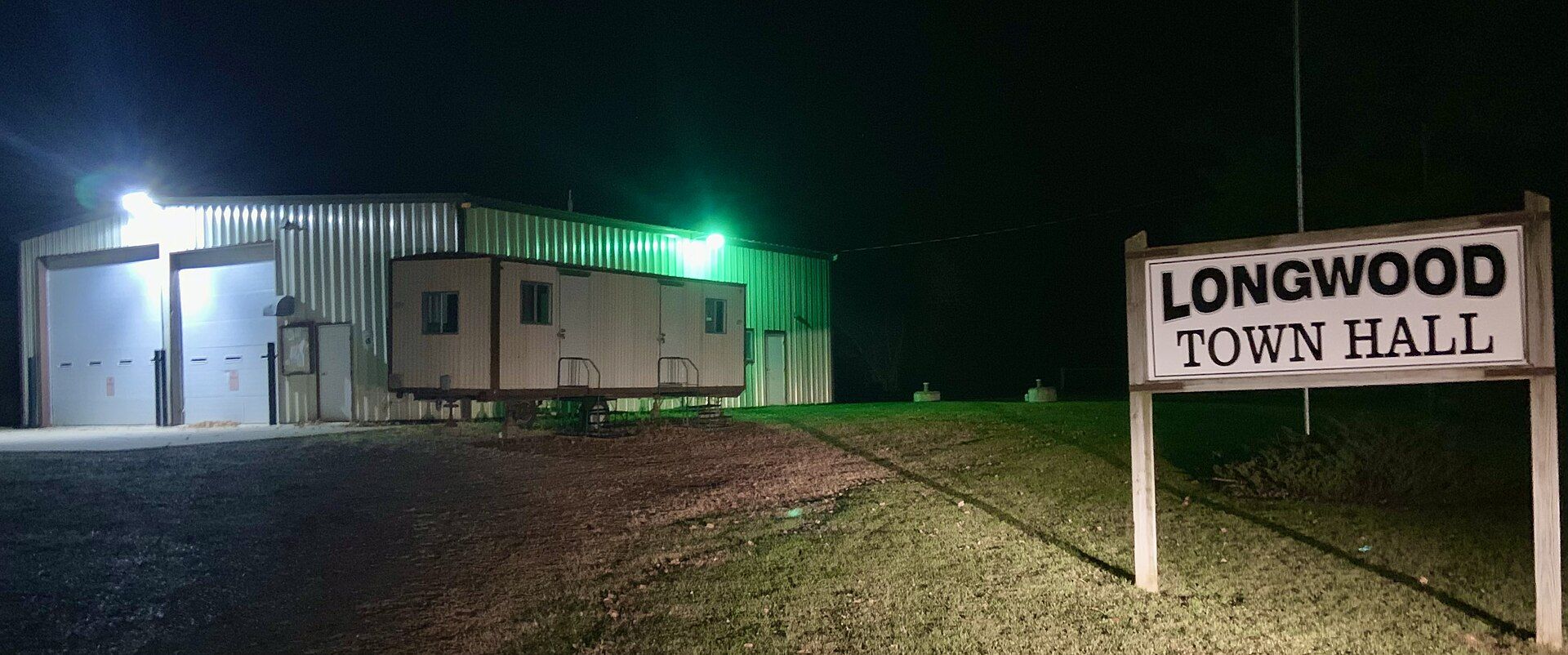
Longwood Town, Wisconsin gifts and souvenirs: 20 designs made from Longwood Town's own map, landmarks and history, from $16 to $95. Printed to order and shipped free in the USA.
| Popular | Price |
|---|---|
| Longwood Town Hometown Ornament | $23 |
| Longwood Town Vintage Travel Poster | from $40 |
| Longwood Town Varsity Crewneck | from $57 |
| Longwood Town Est. Tee | from $33 |
| Longwood Town Town Line Mug | from $26 |
| Longwood Town Market Tote | $37 |
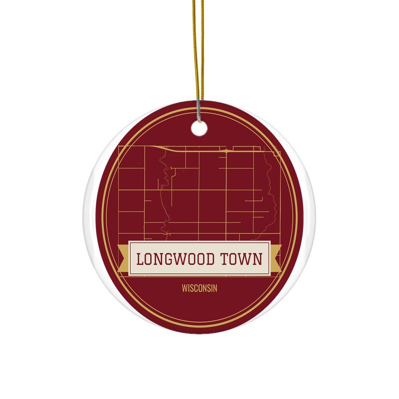
Ceramic keepsake, gold ribbon
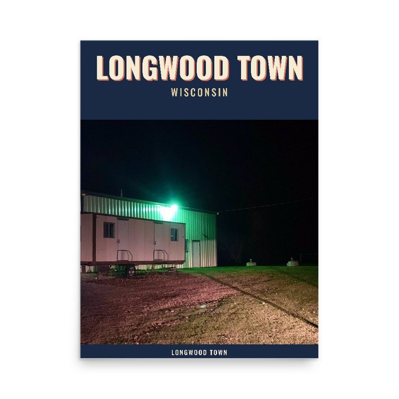
Its landmark photo in a classic travel-poster layout
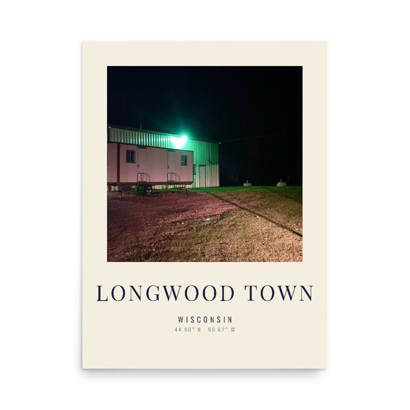
A local landmark photo as a gallery print
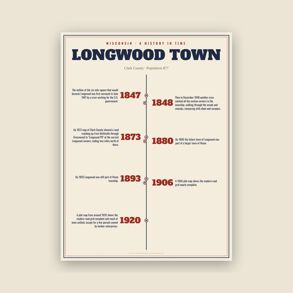
The town's story in dates, from its own records, for home or classroom
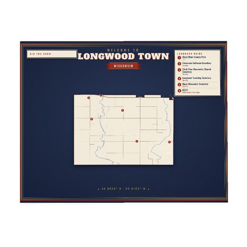
Map of local landmarks, washable fabric
Heavy-blend fleece, street map printed on the back
Soft Bella+Canvas jersey
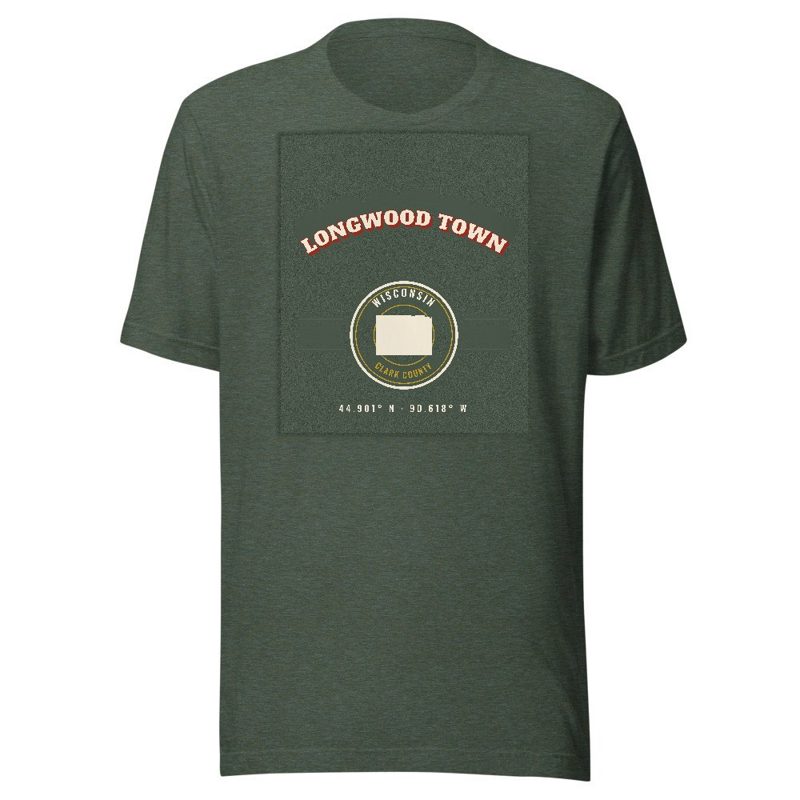
Kids' Bella+Canvas jersey, youth sizes
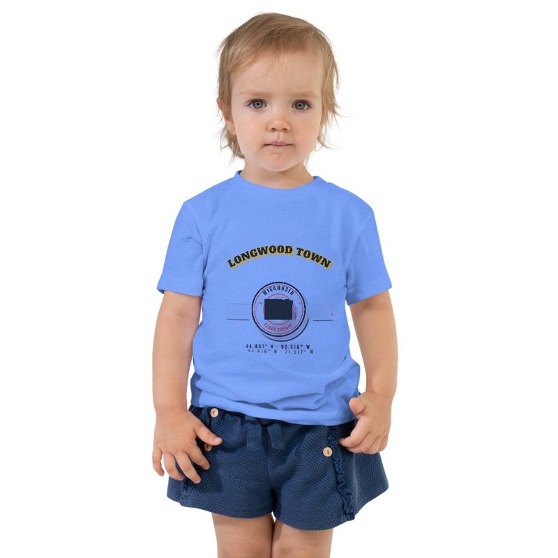
Bella+Canvas toddler jersey
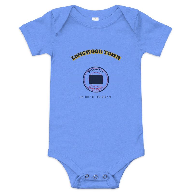
Bella+Canvas baby bodysuit
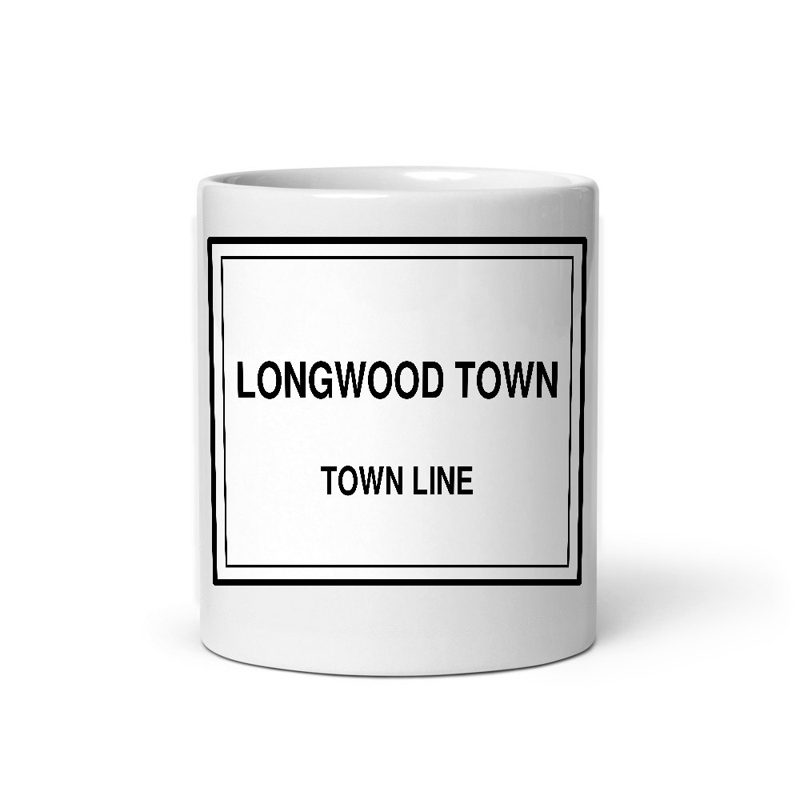
Glossy ceramic, dishwasher safe
Weatherproof, for the front walk
24″×16″, printed coir-look fibers, rubber back
12″×12″ printed wood, ready to hang
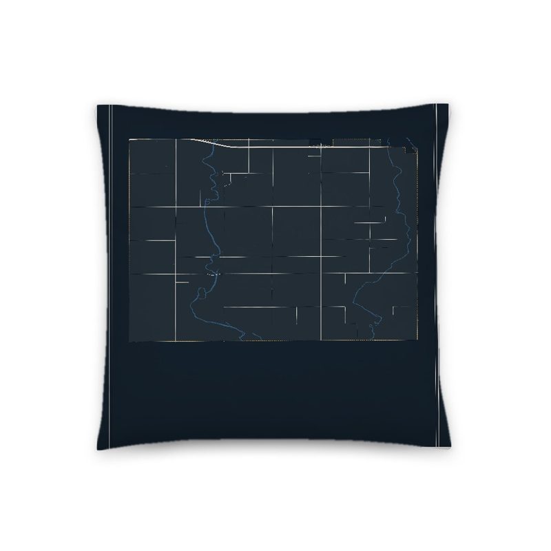
Soft-touch, zip cover
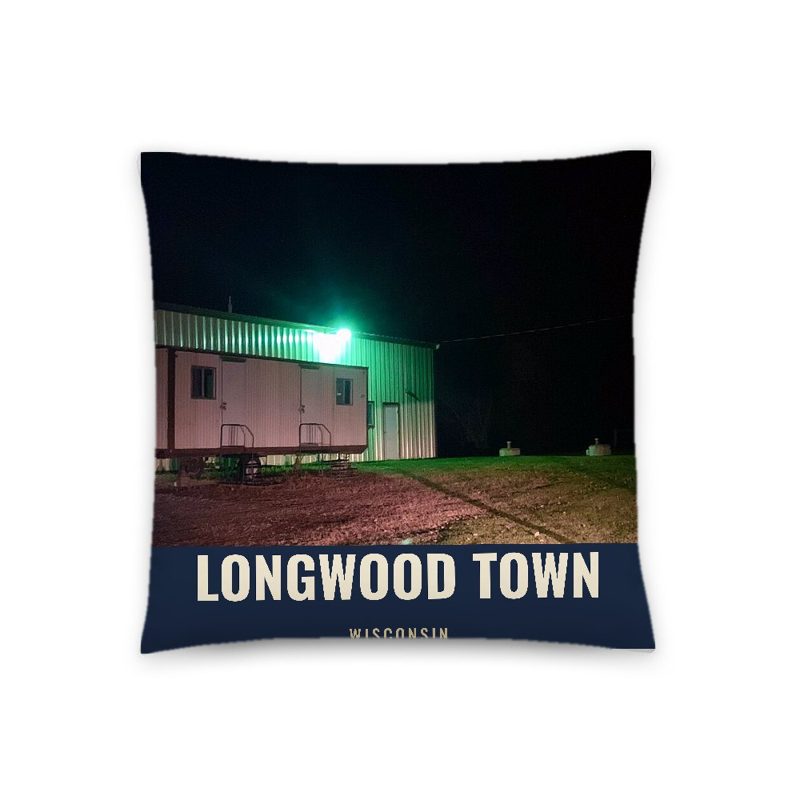
A local landmark photo with the town name, 18″×18″
Sturdy all-over-print tote
Glossy top, cork back
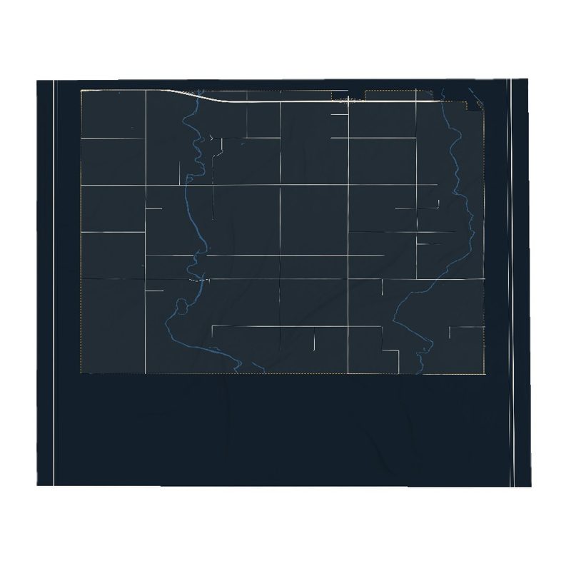
Soft fleece, 50″×60″
20 oz, double-wall stainless
Longwood is a town in Clark County in the U.S. state of Wisconsin.
The surface of the township ... is mostly rolling, some slightly rolling and a small part level. There are but few swamps in it except Black Alder swamps along the small streams. The township is watered by Black River, running nearly in a south direction through the western part, and the Sauteetswasin(?) River running through the eastern part of the township and numerous small streams emptying into them. The soil is generally of a 2nd rate quality, and is mostly tolerably well adapted for agricultural purposes. The timber is White Pine, Lind, Birch, Sugar Maple, Soft Maple, Elm, Black and White Oak, Hemlock, Ash, Ironwood and Balsam.
An 1873 map of Clark County showed a road reaching up from Neillsville through Greenwood to "Longwood PO" at the current Longwood corners, ending two miles north of there. Though this followed the course of modern Highway 73, this was probably a dirt wagon road. The Popple River is labelled on this map with its modern name - changed from the Indian name in the surveyors' notes above.
By 1880 the future town of Longwood was part of a larger town of Hixon. Much of the land was owned in large blocks by logging operations and land speculators, with C.C. Washburn, N.H. Withee, and the D.J. Spaulding Estate holding the largest share. The wagon road along the future Highway 73 had been extended through to the future Withee, where the railroad had just arrived. Other wagon roads followed sections of the future County N, Black River Road, and River Avenue. The 1880 map shows a dozen homesteads scattered along the roads, one school a half mile south of Longwood corner, and another where Black River Road now meets River Ave. The map also shows a "flood dam" in section 13, to help drive logs down the Popple River when the natural flow was insufficient.
By 1893 Longwood was still part of Hixon township. Lumber companies still owned large chunks, with J.J. Hogan and John S. Owen new major players, but wagon roads had grown to cover more of the town, lined with more settlers on smaller parcels. A schoolhouse had been added where Sandy Lane Road now meets County O, and a sawmill on Black River Road.
A 1906 plat map shows the modern road grid nearly complete. Farms are sprinkled through the township, with large gaps remaining only on the west and east sides. The remaining large blocks of land are mostly owned by W.W. Withee and J.S. Owen. The community at Longwood corner shows a blacksmith, a store, two churches, a creamery, and a school. The two rural schools nearby had disappeared, but another rural school had appeared on the future 73 north of Eddy Road. Another church had appeared in the southwest part of the town north of where County O meets Popple River Road. By this time Longwood corner also had a creamery.
A plat map from around 1920 shows the modern road grid complete and much of town settled, except for a few parcels owned by lumber enterprises. Two more cheese factories had been added - one where Colby Factory Road and River Avenue now cross and one where County N now meets O. The transition from logging to agriculture was well underway.
Adapted (trimmed) from the Wikipedia article Longwood Town, Wisconsin, revision 1378737708 by its contributors, licensed CC BY-SA 4.0.
We share a part of every Longwood Town sale with local partners, and we'd love to print from your collection. Old photographs, maps and postcards make the best keepsakes.
Partner with usA favorite landmark, your street, a school or team, an anniversary gift, a different product. Tell us and we'll get back to you by email.
1 free coloring page of Longwood Town, each traced from a photo of a local landmark. Print them at home, at school or for story hour.
Longwood Town's population was 877 in the 2020 U.S. Census, up from 698 in 2000.
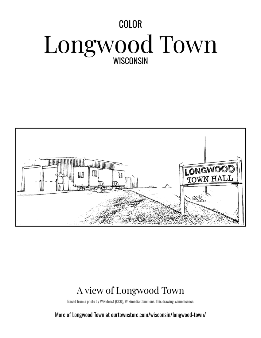 A view of Longwood Town