A short history of Katy
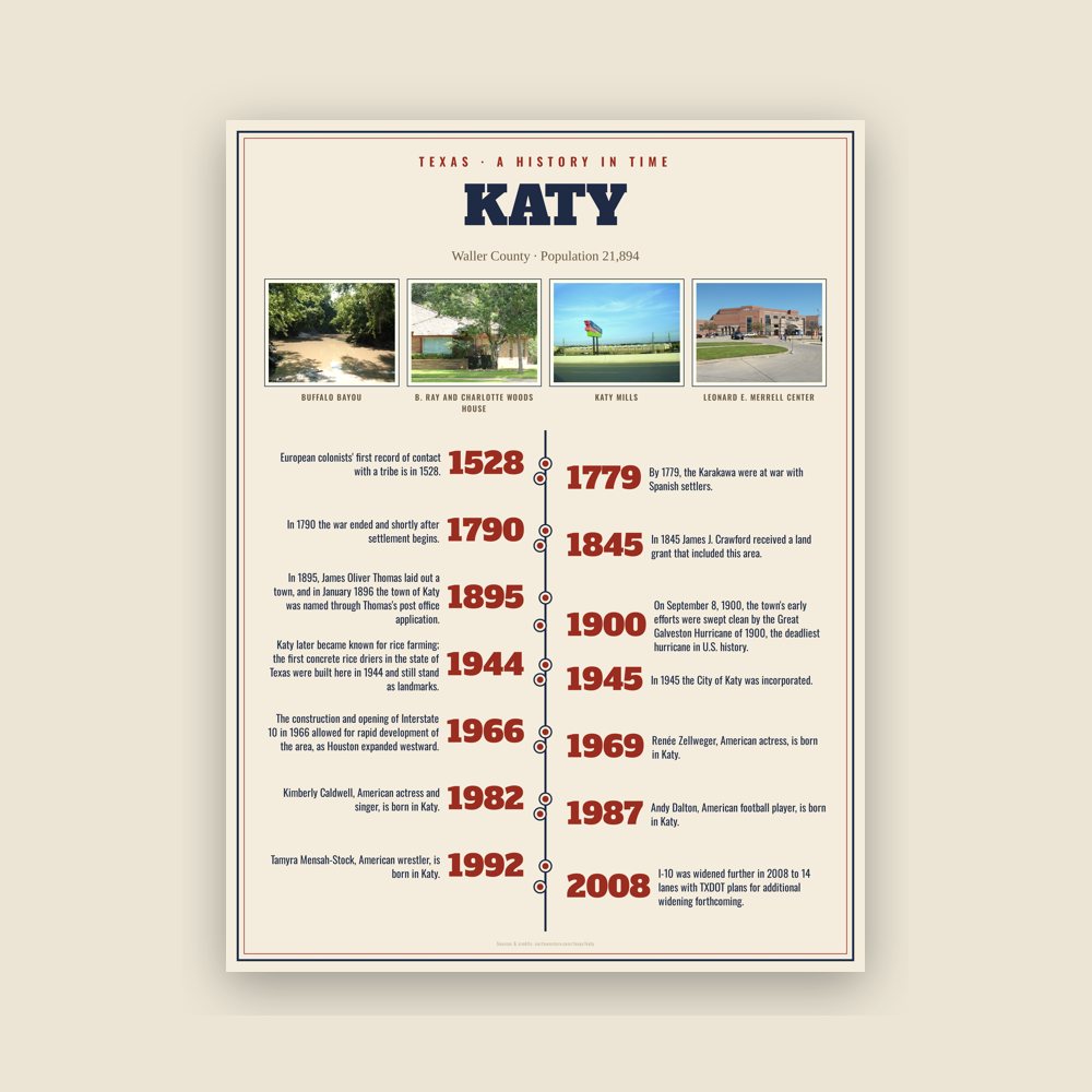
The City of Katy sits on Karankawa tribal lands. European colonists' first record of contact with a tribe is in 1528. Over the next 250 years the area was trafficked by French and Spanish European colonists seeking land and trade opportunities. By 1779, the Karakawa were at war with Spanish settlers. In 1790 the war ended and shortly after settlement begins.
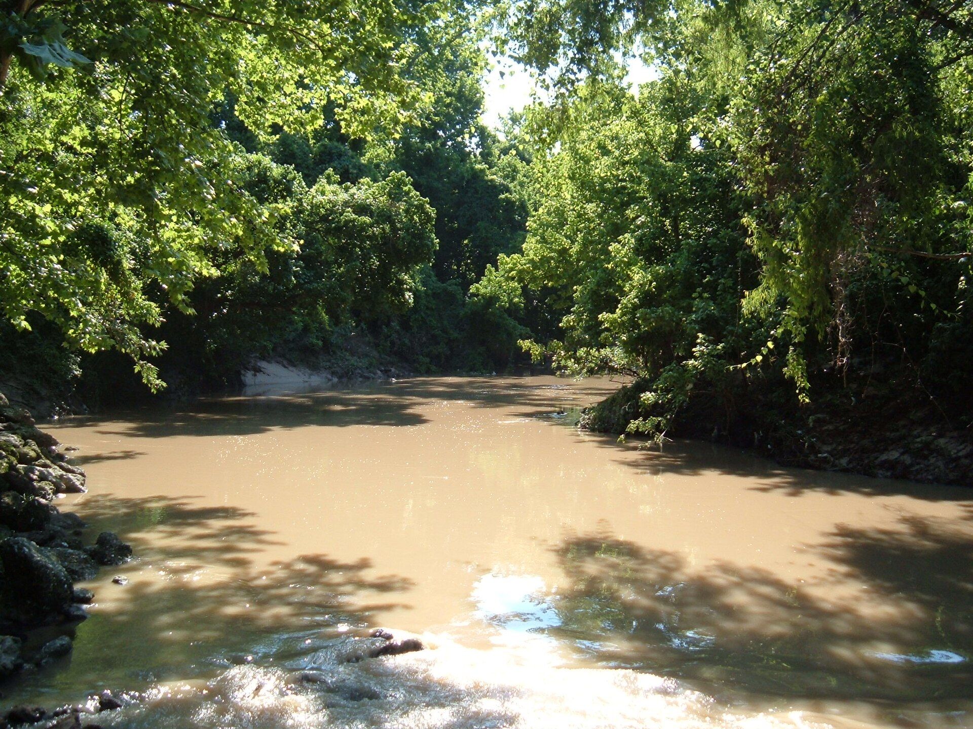
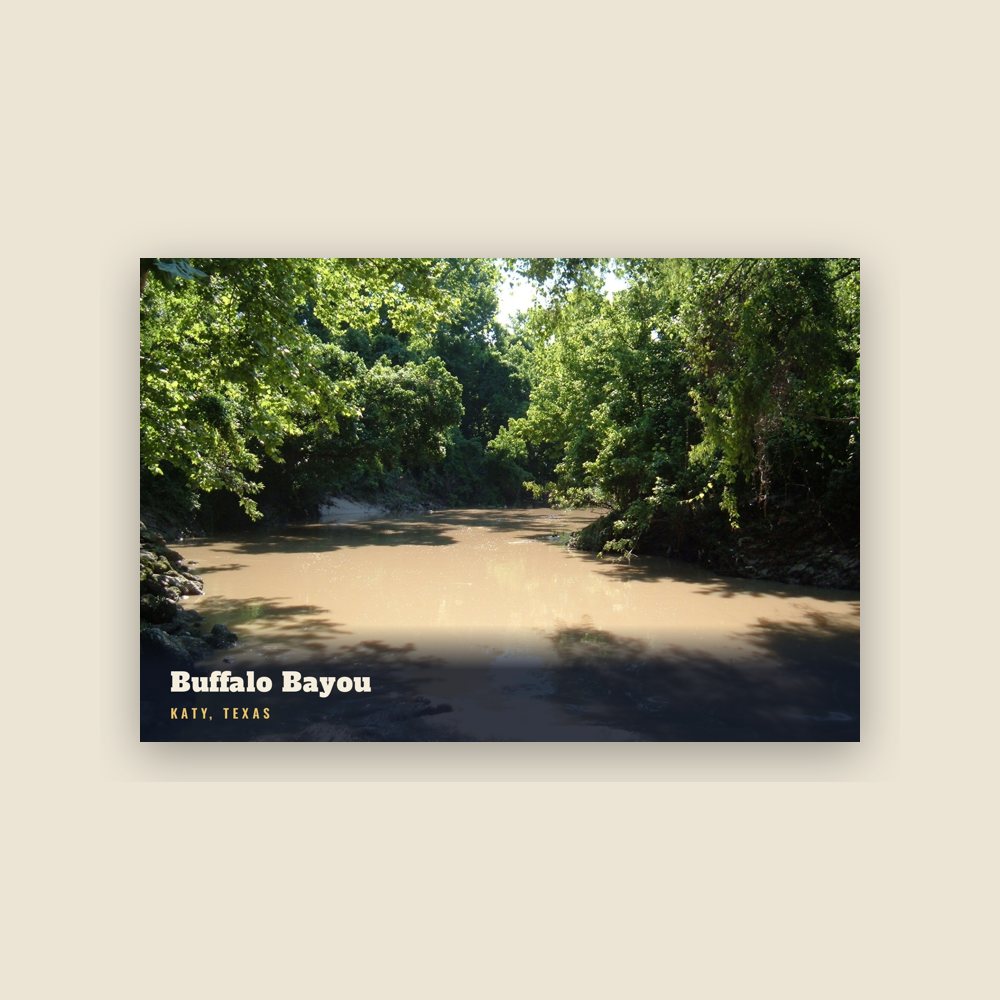
In the early 1800s Katy came be to be known as "Cane Island", named for the creek that runs through the area, a branch of Buffalo Bayou. The creek was filled with tall cane, not native to the area. It was presumed to have been planted by either the Karankawa Indians or Spanish explorers to aid in fur trapping until the 1820s.
In 1845 James J. Crawford received a land grant that included this area. The hot summers and thick clay soil made it difficult to attract settlers to the area. Freed slaves and their families including Thomas (Mary) Robinson and Milto McGinnis, along with Mr. Crawford, Peter Black, and John Sills were the only recorded residents of Cane Island in 1875.
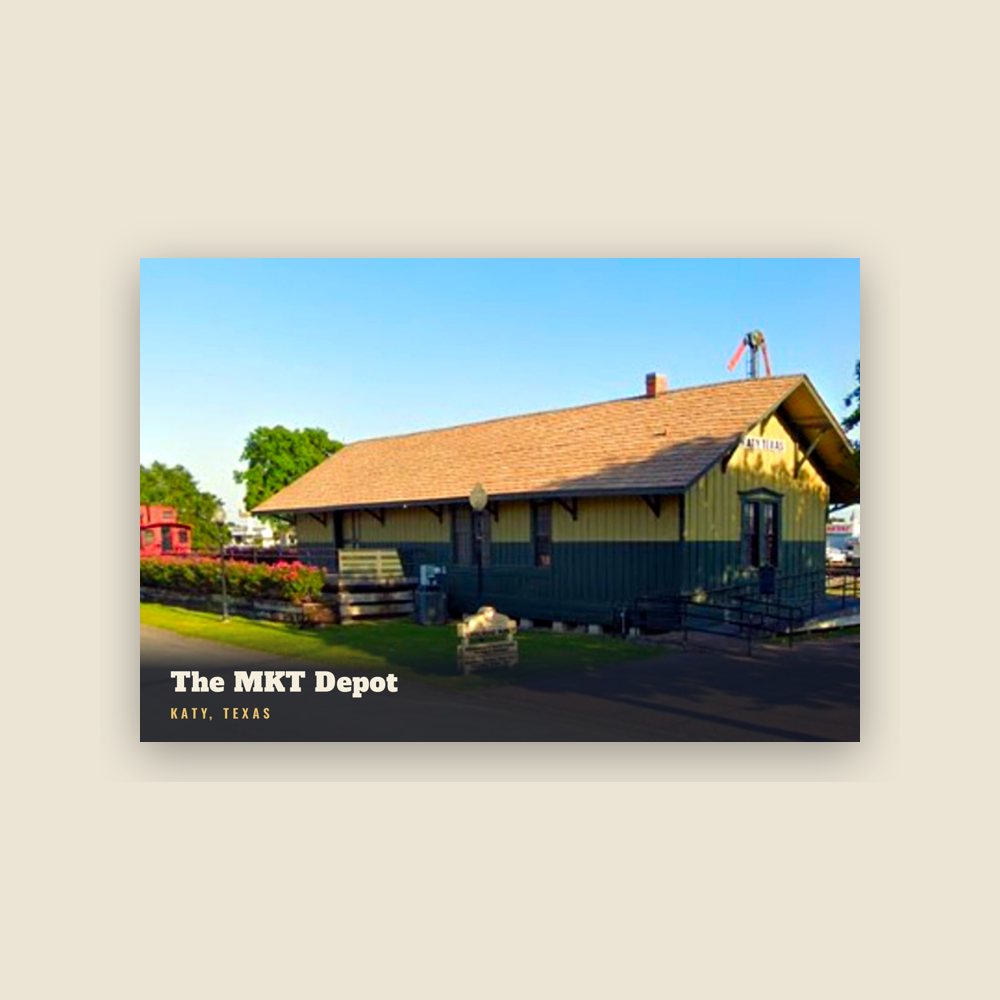
In 1895, James Oliver Thomas laid out a town, and in January 1896 the town of Katy was named through Thomas's post office application. The name "Katy" was derived from the MKT Railroad Company, which was commonly referred to as "the K-T" (also its stock exchange symbol). This common designation soon evolved into "the Katy", and since the railroad company and its trains held a key depot station located today's city, the general location came to be known as Katy.
The anticipations of prosperity would bring growth to the new town which was developed around the original train stop and railroad tracks. By the early 1900s many families had come by train and wagon to establish Katy. Cotton and peanuts and corn were the first successful crops, but rice soon became the primary commodity crop. Katy later became known for rice farming; the first concrete rice driers in the state of Texas were built here in 1944 and still stand as landmarks. The farming community well supported local businesses as several hotels, stores, livery stables and saloons were prospering.
On September 8, 1900, the town's early efforts were swept clean by the Great Galveston Hurricane of 1900, the deadliest hurricane in U.S. history. All but three of the original Katy homes were lost in the storm—The Wright House, The Featherson House, and The Morrison-Freeman House. Despite this, three major homes were built in the immediate aftermath of the hurricane and another six more over the following decade. Cane Island was rebuilt quickly and continued to grow.
The City was once known as the "City of Churches" due to the role of religion in daily life. Not only were churches highly concentrated in the city, but according to area historian Carol Adams, the residents had a fervent religious belief. Circa the 1900s the city erected a "City of Churches" sign.
Humble Oil opened the Katy Gas Field in 1943, which went on to become one of the principal suppliers of allied forces and eventually became one of the most productive gas fields in the State of Texas. Today, what was Humble Oil is now Exxon which continues to operate and oversee the expansive underground pipeline network in the region.
In 1945 the City of Katy was incorporated. C. L. Baird was the first mayor. The city's limits were determined by finding the area that contained the most residents and was reasonably sized so that it could be managed by city services.
The construction and opening of Interstate 10 in 1966 allowed for rapid development of the area, as Houston expanded westward. Large sections of the K-T railway were removed to allow for the I-10 expansion, officially marking the end of passenger rail through the region. I-10 was widened further in 2008 to 14 lanes with TXDOT plans for additional widening forthcoming.
Adapted (trimmed) from the Wikipedia article Katy, Texas, revision 1381413378 by its contributors, licensed CC BY-SA 4.0.
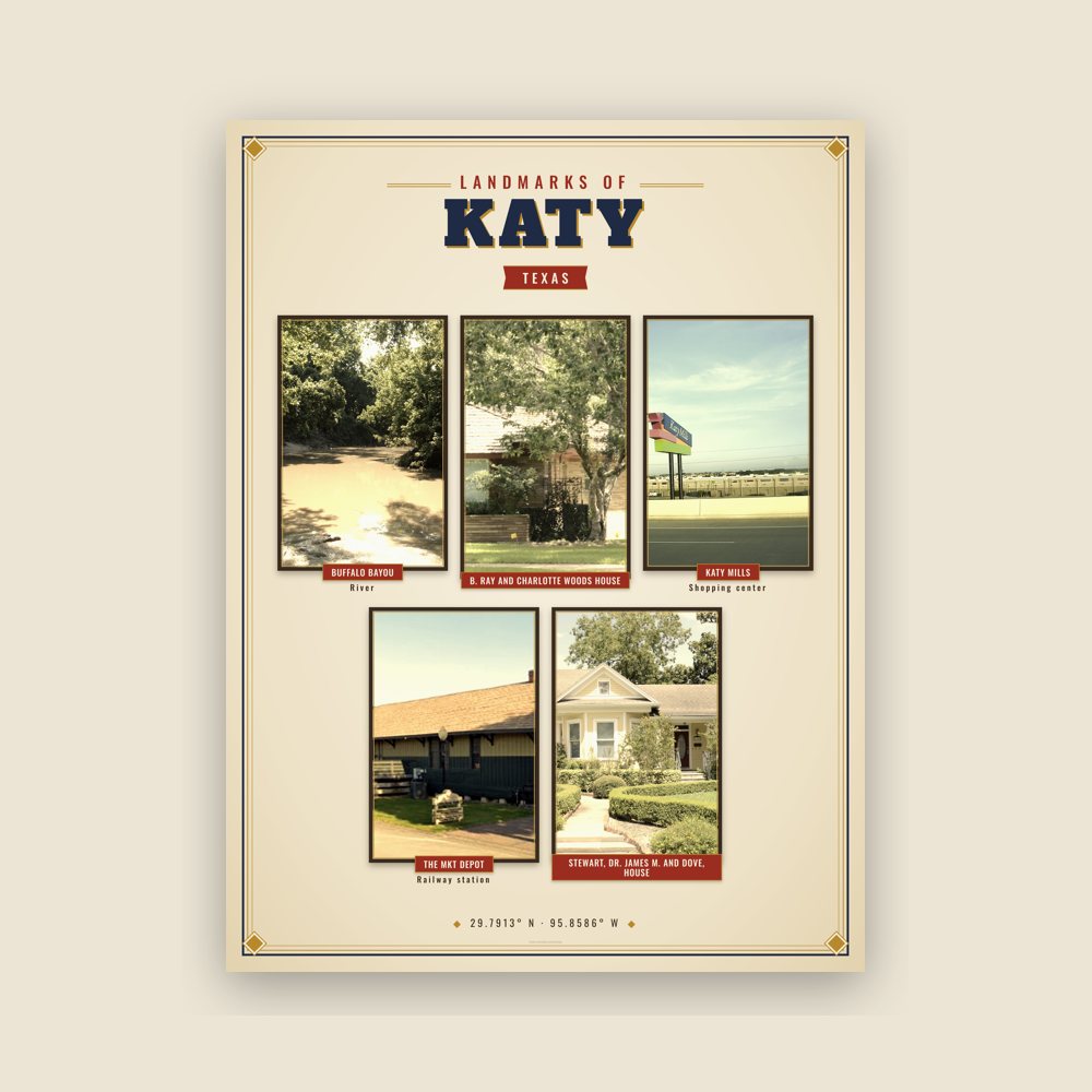



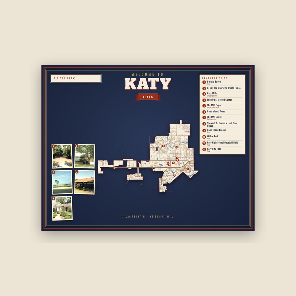



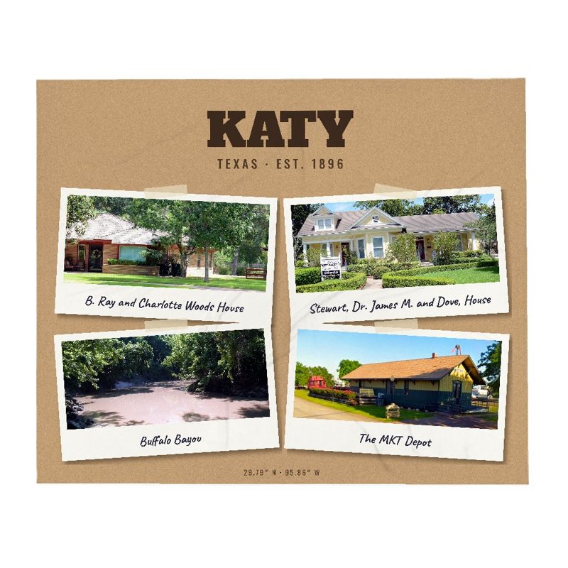
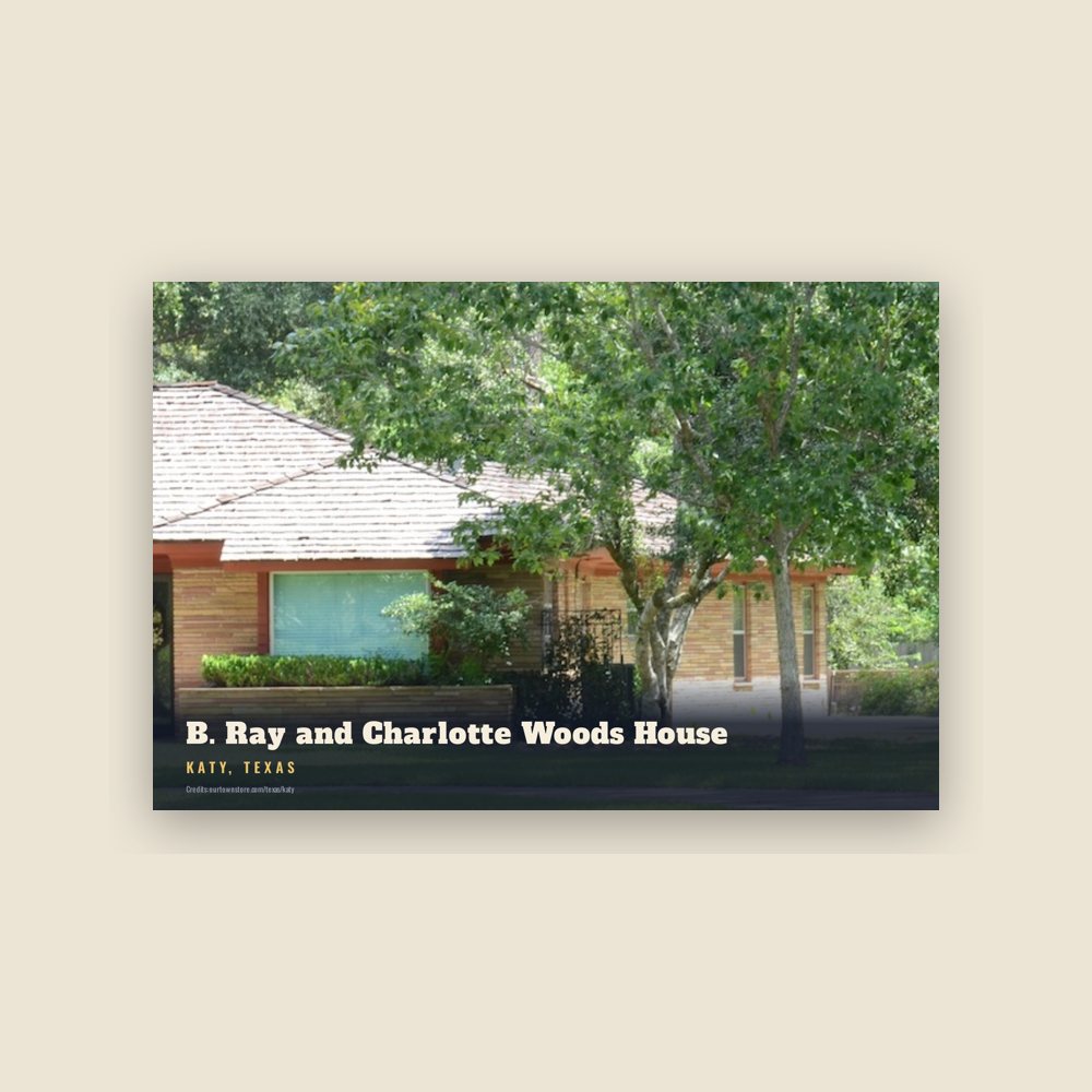
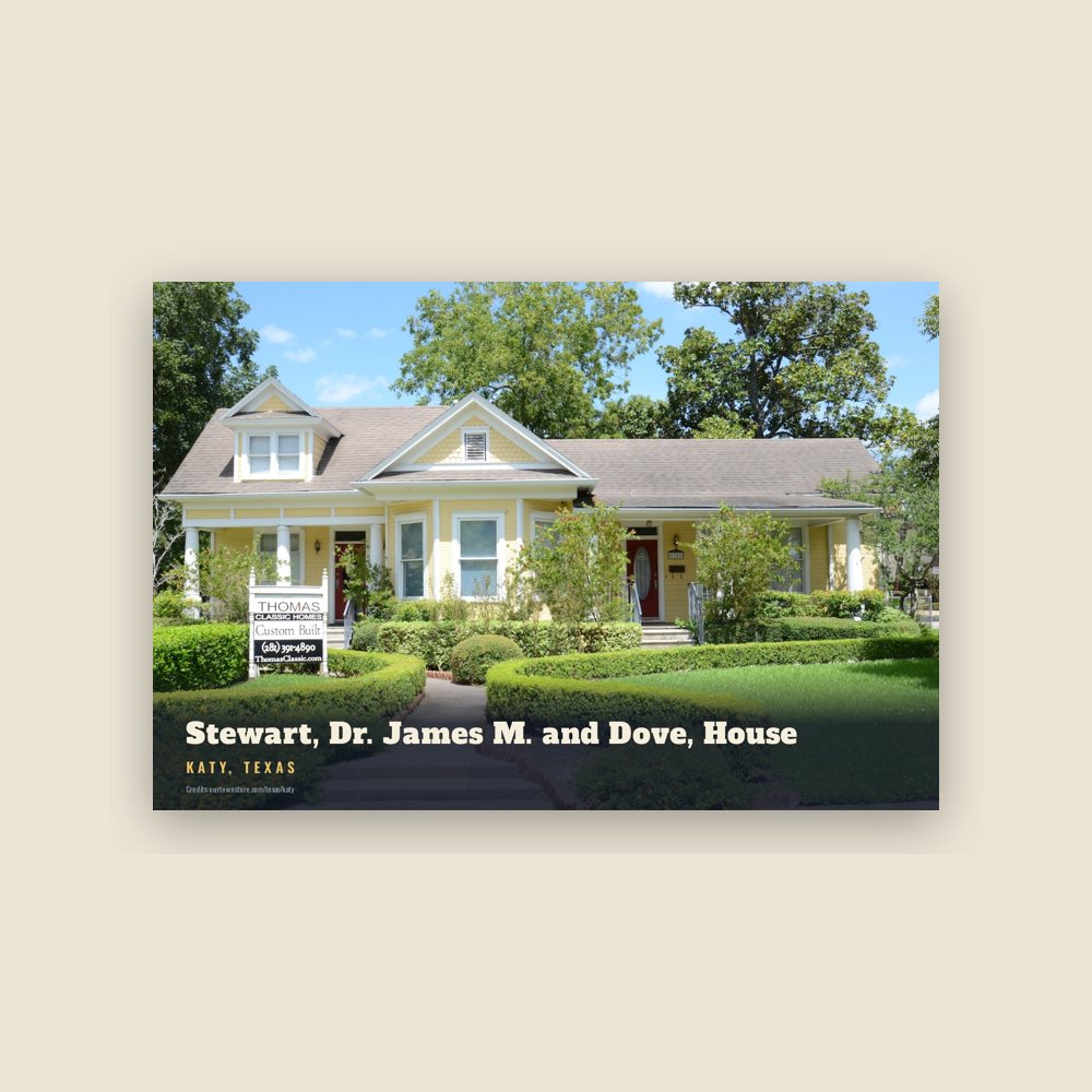
 B. Ray and Charlotte Woods House
 Buffalo Bayou
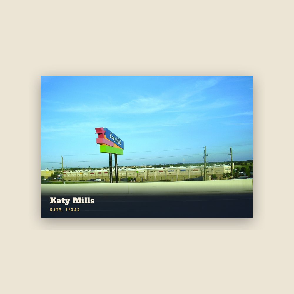
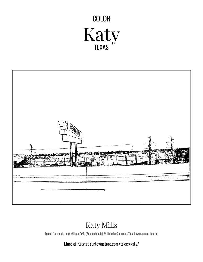 Katy Mills
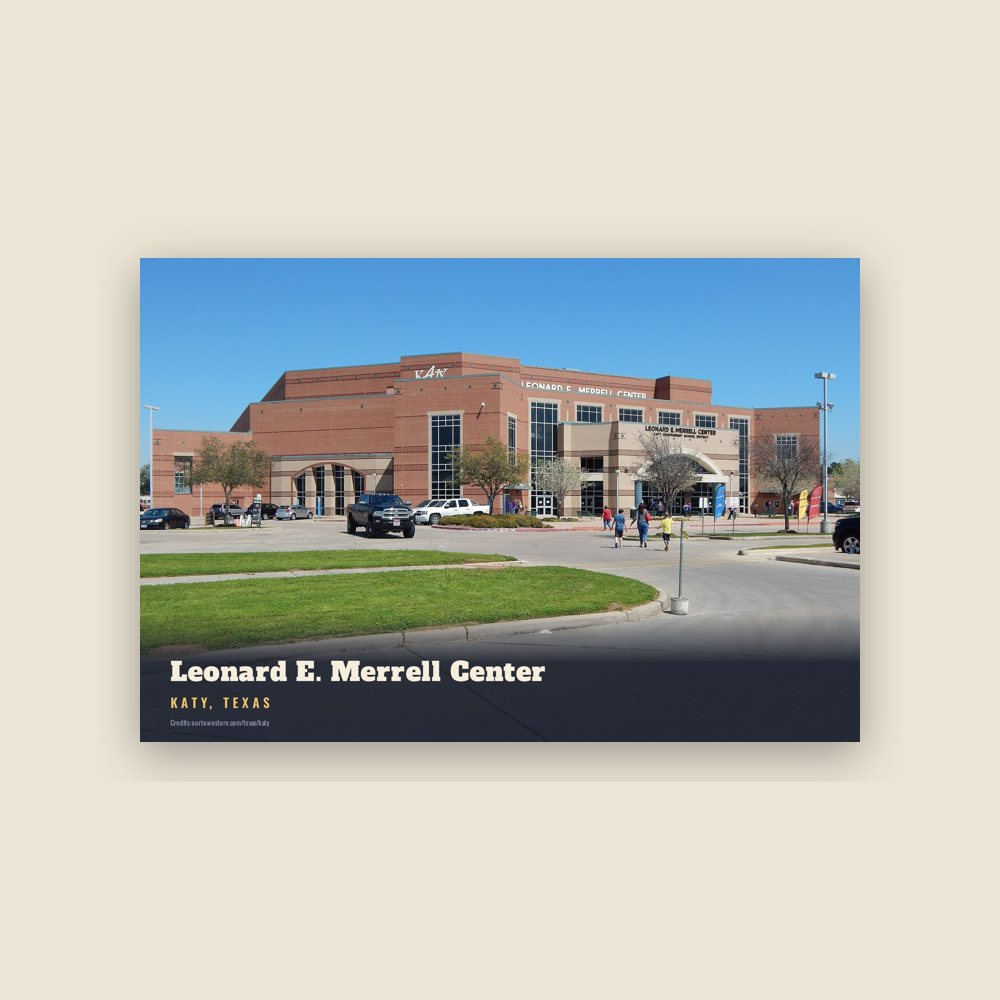
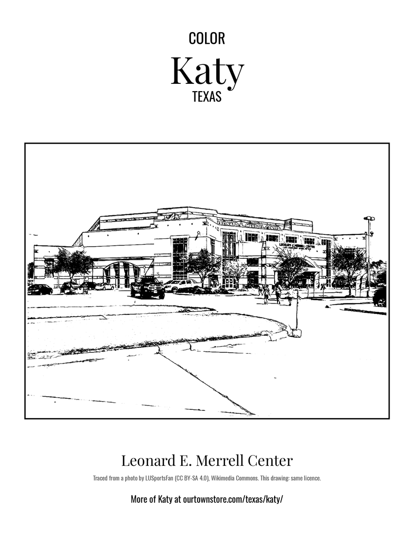 Leonard E. Merrell Center